The best running trails around La Côte-aux-Fées
4.2
(48)
4,380
runners
149
runs
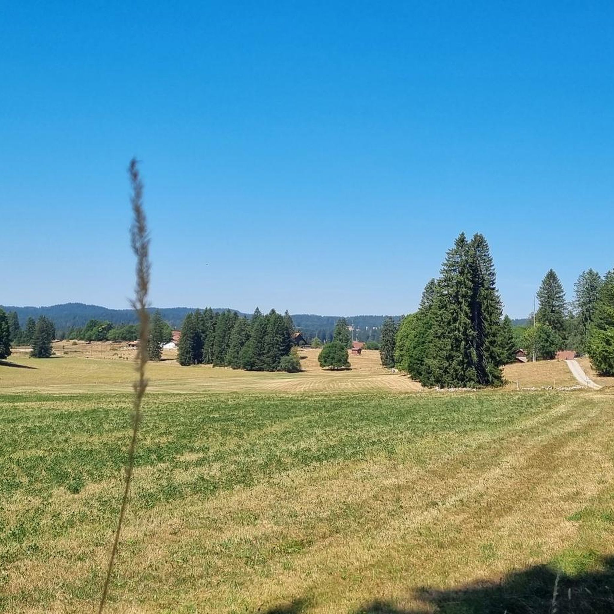
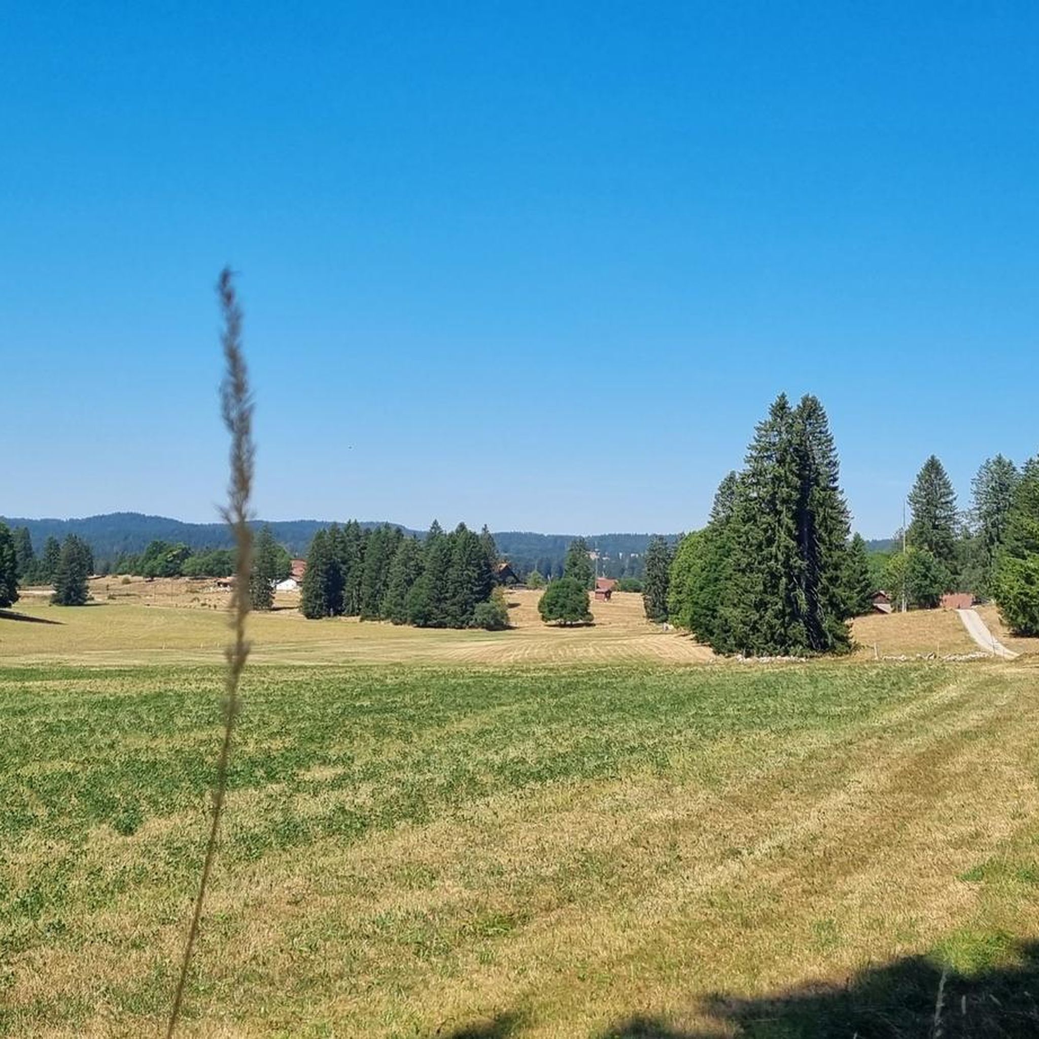
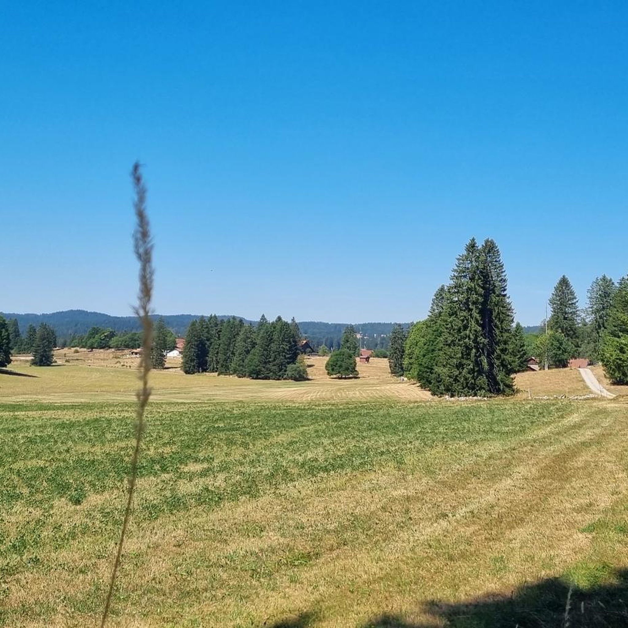
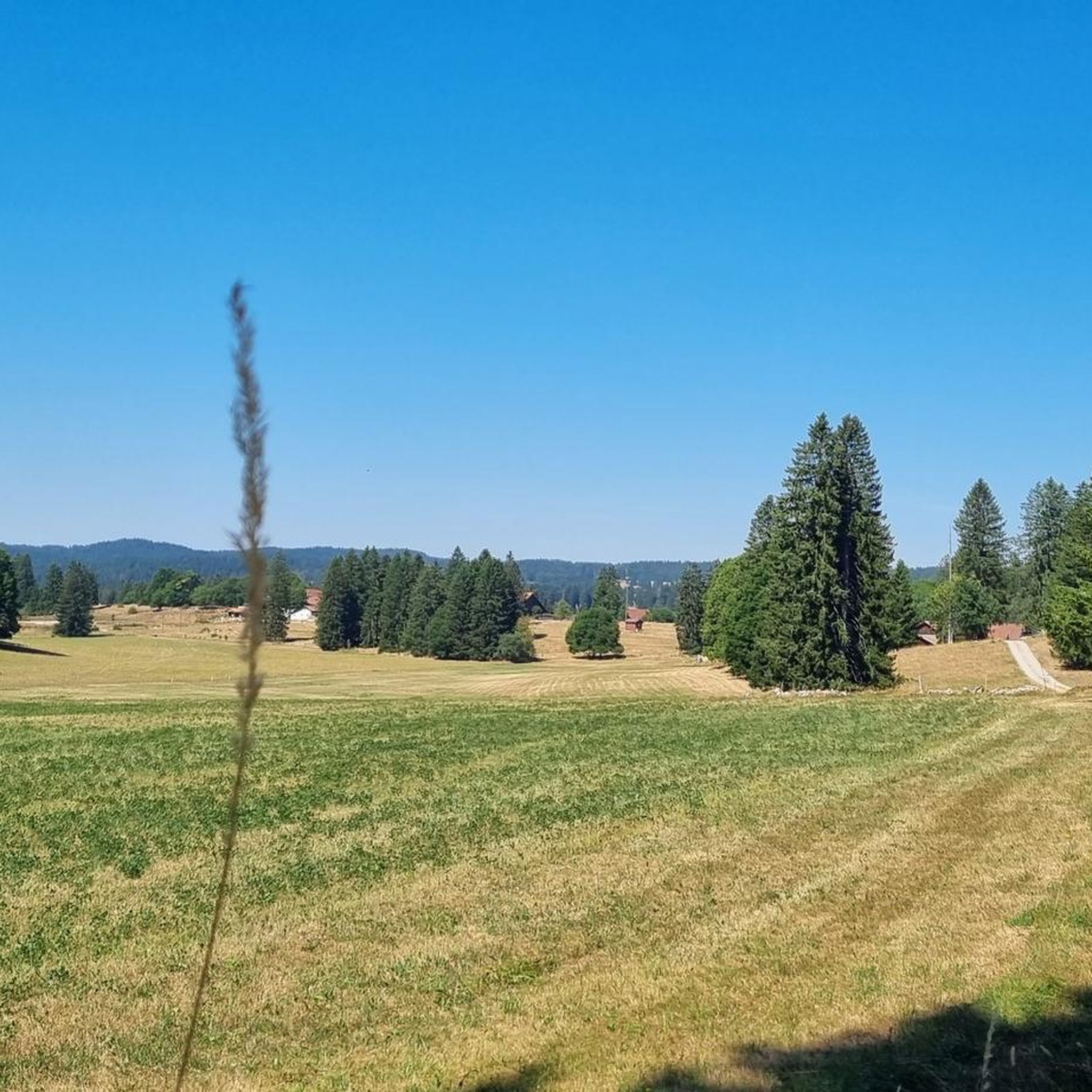
Jogging routes around La Côte-aux-Fées are set in a high-country environment, characterized by expansive greenery, fir forests, and pastures at an altitude of over 1000 meters. The terrain features rolling hills and offers diverse landscapes for running. Notable natural features include the prominent Le Chasseron mountain and several picturesque gorges, providing varied surfaces and elevation changes for runners.
Best jogging routes around La Côte-aux-Fées
- The most popular jogging route is Le Chasseron loop from Sainte-Croix, a 13.3 miles (21.4…
Last updated: July 7, 2026
5.0
(1)
82
runners
21.5km
03:30
1,400m
1,400m
Hard run. Very good fitness required. Sure-footedness, sturdy shoes and alpine experience required.
66
runners
13.8km
01:58
640m
640m
Hard run. Very good fitness required. Sure-footedness, sturdy shoes and alpine experience required.

Sign up for free
68
runners
7.30km
00:57
330m
330m
Hard run. Very good fitness required. Mostly paved surfaces. Suitable for all skill levels.
39
runners
28.9km
04:24
1,520m
1,520m
Hard run. Very good fitness required. Sure-footedness, sturdy shoes and alpine experience required.
28
runners
7.94km
01:15
420m
420m
Hard run. Very good fitness required. Sure-footedness, sturdy shoes and alpine experience required.
Get access to more routes and recommendations from other explorers.
Sign up for free
Already have an account?
Our route recommendations are based on thousands of hikes, rides, and runs completed by other people on komoot.
Start today with a free account
Your next adventure awaits.
Login or Signup

Tips from the Community

The gorges are currently closed until 26.06.26
0
0

Definitely clarify if catering is available. E-bike charging station if catering is available (socket).
0
0
Restaurant closed for several years!
0
0

I believe the restaurant on Le Chasseron is permanently closed. Please check before planning a visit.
0
0

The hiking trail through the Covatannaz Gorge is beautifully laid out and offers breathtaking views down into the Arnon River. More exposed sections are equipped with metal railings, making this easy hike suitable for families.
2
0
The hiking trail through the Covatannaz Gorge becomes very narrow here due to the terrain and leads directly along the high rock walls. Further down, or rather beside you, the Arnon stream rushes through the gorge. Over a distance of approximately three kilometers, it descends a difference in altitude of about 450 meters.
2
0
Located at a pleasant altitude, ideal for escaping the heat in the lowlands.
4
1
A beautiful place, somewhat hidden at over 1,000 meters, an ideal starting point for hikes and bike tours in the surrounding hills and into the Val de Travers. We also stayed at the Hotel du France and enjoyed our stay. The hotel is definitely recommended.
5
0
Frequently Asked Questions
What kind of terrain can I expect on the running routes in La Côte-aux-Fées?
The region offers a diverse high-country environment, characterized by expansive greenery, fir forests, and pastures at an altitude of over 1000 meters. You'll encounter rolling hills, providing natural elevation changes, as well as paths through picturesque gorges and near prominent mountains like Le Chasseron.
How many running routes are available in La Côte-aux-Fées?
There are over 150 running routes around La Côte-aux-Fées. The network includes a variety of options, with 70 moderate and 83 difficult trails, ensuring there's a path for nearly every fitness level.
Are there any easy running routes for beginners in La Côte-aux-Fées?
While many routes in La Côte-aux-Fées are moderate to difficult, there is at least one easy route available. For a gentler experience, consider paths around the Étang des Sagnes, which offers a pleasant, gently rolling loop.
What do other runners say about the trails in La Côte-aux-Fées?
The running routes in La Côte-aux-Fées are highly rated by the komoot community, with an average score of 4.2 stars from over 38 reviews. More than 4000 runners have used komoot to explore the varied terrain, often praising the scenic beauty and diverse landscapes.
Are there any running routes that offer panoramic views or lead to notable landmarks?
Absolutely! Many routes offer stunning vistas. For example, the Petites Roches Ridge – Chasseron Summit loop from Sainte-Croix leads towards the prominent Chasseron Summit, known for its magnificent panoramic views of the Alps. The Chasseron Summit – Petites Roches Ridge loop from Bullet also offers similar rewarding views.
Can I find running routes that pass by waterfalls or other water features?
Yes, the region features several picturesque gorges and water attractions. You can explore areas near the Gorges de Covatannaz or the Starting point of the Poëta-Raisse gorge. The Étang des Sagnes also offers a pleasant loop around a natural pond.
Are there any family-friendly running options in the area?
While many routes are challenging, some areas are more suitable for families. The Gorges de la Covatannaz are known to provide a family-friendly route. Additionally, the loop around the Étang des Sagnes is a gentle option suitable for a leisurely run or walk with family.
Are dogs allowed on the running trails in La Côte-aux-Fées?
Generally, dogs are welcome on most outdoor trails in the La Côte-aux-Fées region, especially in the expansive natural areas like forests and pastures. However, it's always advisable to keep them on a leash, especially in nature reserves or areas with livestock, and to check local signage for any specific restrictions.
What are the 'Circuits des Fées' and are they suitable for running?
The 'Circuits des Fées' are specially designed circuits that guide runners and mountain bikers through forest tracks and communal roads around La Côte-aux-Fées. These routes explore the surrounding areas, offering views of Mont-des-Verrières and the Chasseron summit, making them excellent options for varied running workouts.
Are there any circular running routes in La Côte-aux-Fées?
Yes, many of the running routes in La Côte-aux-Fées are designed as loops. Examples include the challenging Petites Roches – Col des Etroits loop from Sainte-Croix and the Col des Étroits Pass – Sainte-Croix loop from Sainte-Croix, which offer varied terrain and elevation changes.
Can I find any historical routes for jogging in the area?
Yes, the region has historical significance. Portions of the ancient 'Salt Road' (Route du sel), a medieval trade route, passed through La Côte-aux-Fées. You can still discover parts of this historical path, such as the one through Combe aux Mulets, offering a unique blend of history and outdoor activity for your run.
What is the typical duration for a running route in La Côte-aux-Fées?
Route durations vary significantly based on distance and difficulty. For instance, a challenging route like the Le Chasseron loop from Sainte-Croix, which is 21.4 km, typically takes around 3 hours and 30 minutes. Shorter, difficult routes like the Col des Étroits Pass – Sainte-Croix loop from Sainte-Croix (7.3 km) can be completed in about 1 hour.
Most popular routes around La Côte-aux-Fées
Most popular attractions around La Côte-aux-Fées

Get inspired with the komoot mobile app


Explore more
Browse the best Running Trails & Routes in other regions.
