The best running trails around Matten bei Interlaken
4.4
(144)
6,822
runners
222
runs
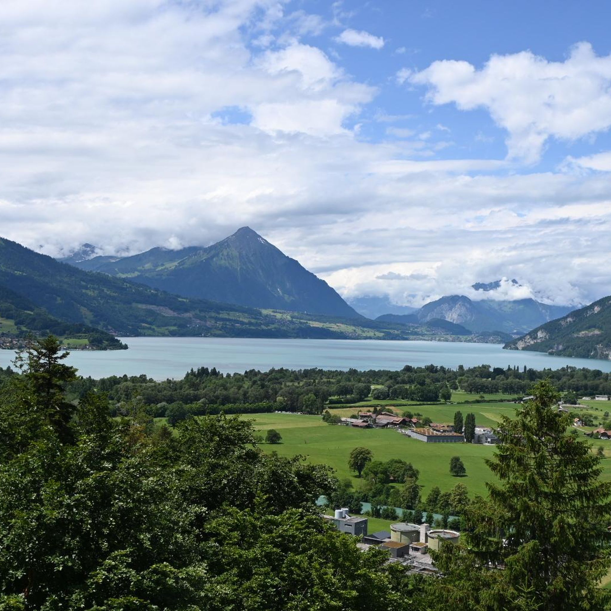
Jogging around Matten bei Interlaken offers routes through a landscape shaped by the Aare River, nestled between Lake Thun and Lake Brienz. The terrain primarily features flat riverbanks and lakeside paths, with some routes incorporating gentle ascents towards viewpoints. This region provides a mix of valley floor running and trails that offer views of the surrounding Bernese Alps.
Best jogging routes around Matten bei Interlaken
- The most popular jogging route is View of Lake Thun – Lombach River loop from Interlaken West, an 8.9 miles (14.3 km) trail that takes 1 hour 34 minutes to complete. This route follows the Lombach River and offers views of Lake Thun.
- Another top favourite among local runners is View of Unterseen – Lake Brienz at the mouth of the Aare loop from Interlaken West, a moderate 5.1 miles (8.1 km) path. This route explores the area around Unterseen and the mouth of the Aare River at Lake Brienz.
- Local runners also love the Interlaken – Lake Brienz at the mouth of the Aare loop from Bönigen, a 6.4 miles (10.3 km) trail leading through the Aare River valley and along Lake Brienz, often completed in about 1 hour 3 minutes.
- Jogging around Matten bei Interlaken is defined by scenic lakefronts, river paths, and valley trails, with options ranging from easy, flat routes to more challenging paths with elevation gain. The network includes routes suitable for various fitness levels.
- The routes in Matten bei Interlaken are highly rated by the komoot community with an average score of 4.4 stars from over 100 reviews. More than 6000 runners have used komoot to explore Matten bei Interlaken's varied terrain.
Last updated: September 27, 2026
4.5
(15)
375
runners
13.9km
01:32
70m
70m
Moderate run. Good fitness required. Mostly paved surfaces. Suitable for all skill levels.
4.8
(13)
308
runners
Moderate run. Good fitness required. Mostly paved surfaces. Suitable for all skill levels.

5.0
(1)
178
runners
13.7km
02:11
710m
710m
Hard run. Very good fitness required. Sure-footedness, sturdy shoes and alpine experience required.
5.0
(3)
152
runners
Hard run. Very good fitness required. Sure-footedness, sturdy shoes and alpine experience required.
5.0
(3)
130
runners
15.3km
01:37
70m
70m
Hard run. Very good fitness required. Mostly paved surfaces. Suitable for all skill levels.
Get access to more routes and recommendations from other explorers.
Already have an account?
Our route recommendations are based on thousands of hikes, rides, and runs completed by other people on komoot.
Start today with a free account
Your next adventure awaits.

Tips from the Community

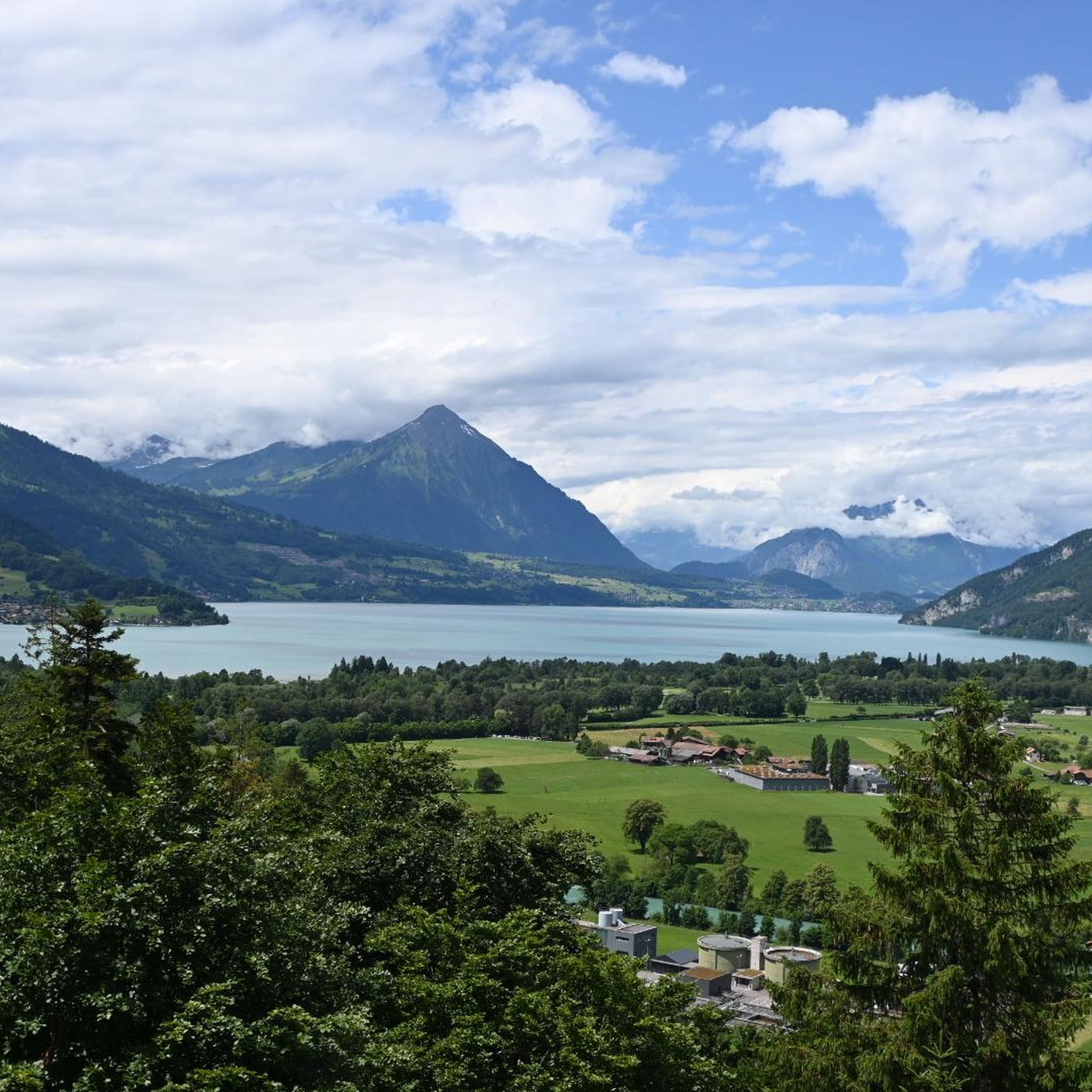
In Interlaken, you should definitely see the Harder Kulm as the local mountain with a viewing platform. From there you can hike the beautiful Hardergrat.
8
0

For those who do not want or cannot walk up here, the train ticket costs 44 CHF per person for a round trip. But it is worth it. In good weather, the view is simply phenomenal. The restaurant has a wide and tasty offer and provides very good service. The viewing platform rounds off the whole experience. The trip and the stay will definitely remain an unforgettable experience.
1
0
It's always interesting to delve into the history of the surroundings. I didn't expect the ruin of a medieval castle here. The tower is accessible and offers a beautiful view.
1
0

The tandem paragliders land in the heart of Interlaken. Coachmen invite them on a tourist ride. Many Asians stroll through the city, where it's all about sightseeing and taking selfies.
2
1

"Up to the tower, you wandering birds. From up here you'll enjoy a magnificent view of Lake Thun."
0
0

Ideal for a short rest and a view of Interlaken
0
0

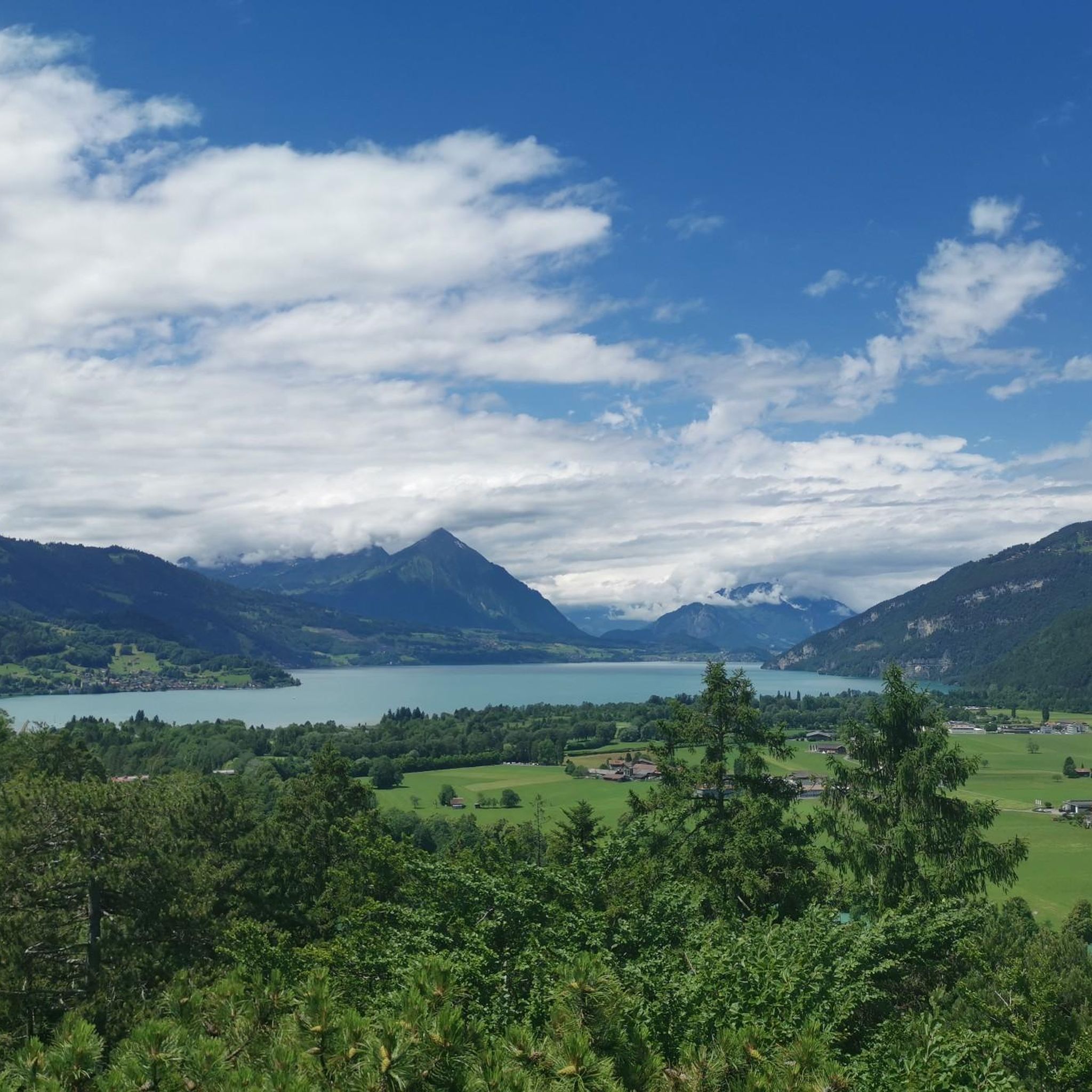
Whatever you are looking for, Lake Brienz has it all. Flat, uphill, stunning views from the water or panoramic views from above, the choice is yours. Your outing promises to be epic!
0
0

You drive into Interlaken over this beautiful Aare bridge. The idyllic town is surrounded by a stunning mountain backdrop between Lake Thun and Lake Brienz.
1
0
Frequently Asked Questions
How many running routes are available around Matten bei Interlaken?
There are over 230 running routes in the Matten bei Interlaken area, offering a wide variety of options for different fitness levels and preferences. You'll find everything from easy, flat paths to more challenging trails with significant elevation gain.
Are there easy or beginner-friendly jogging routes in Matten bei Interlaken?
Yes, Matten bei Interlaken offers 13 easy running routes, perfect for beginners or those looking for a relaxed jog. These routes typically feature flat terrain along riverbanks and lakeside paths, making them accessible for all. For example, the area around the Aare River and the lakes provides gentle, scenic paths.
What kind of terrain can I expect on the running trails in Matten bei Interlaken?
The terrain around Matten bei Interlaken is diverse. You'll find primarily flat riverbanks and lakeside paths, especially along the Aare River, Lake Thun, and Lake Brienz. Some routes also incorporate gentle ascents, offering views of the surrounding Bernese Alps. The region provides a good mix of valley floor running and trails with elevation changes.
Are there any long-distance running trails in the Matten bei Interlaken region?
Yes, for those seeking longer runs, there are several options. For instance, the View of the Aare – Lombach River loop from Interlaken is a challenging 15.2 km route that takes you along the Aare and Lombach rivers. Many routes can also be combined or extended to create longer distances.
Can I find circular running routes around Matten bei Interlaken?
Absolutely. Many of the running routes in Matten bei Interlaken are designed as loops, allowing you to start and end at the same point. A popular example is the View of Unterseen – Lake Brienz at the mouth of the Aare loop from Interlaken West, which is a moderate 8.1 km circular path exploring Unterseen and Lake Brienz.
What are some scenic running routes with viewpoints in Matten bei Interlaken?
The region is known for its scenic beauty. For breathtaking views, consider routes that ascend slightly. The View of Lake Brienz – Harder Kulm Viewing Platform loop from Interlaken West, though difficult, offers spectacular panoramas from Harder Kulm. Many lakeside paths also provide continuous scenic vistas of Lake Thun and Lake Brienz.
What do other runners say about the trails in Matten bei Interlaken?
The running routes in Matten bei Interlaken are highly regarded by the komoot community, with an average score of 4.4 stars from over 100 reviews. Runners often praise the beautiful lakefronts, peaceful river paths, and the variety of trails suitable for different fitness levels.
Are there any historical landmarks or points of interest along the running routes?
Yes, the area around Matten bei Interlaken is rich in history and natural beauty. You might encounter historical sites like the Burgkirche and Ringgenberg Castle Ruins or the Town Hall Square in Unterseen. Many routes also offer views of picturesque castles such as the Weissenau Castle Ruins or Schloss Seeburg, often situated near the lakes.
What is the best time of year for jogging in Matten bei Interlaken?
Matten bei Interlaken offers great running opportunities throughout much of the year. Spring and autumn provide pleasant temperatures and vibrant scenery. Summer is also popular, especially for lakeside and river paths. Winter running is possible, particularly on lower-elevation, cleared paths, though some higher trails may be affected by snow or ice.
Are there any running routes that pass by cafes or places to rest?
While specific cafes directly on every trail are not guaranteed, many routes pass through or near the towns of Interlaken and Unterseen, where you'll find numerous cafes, restaurants, and shops to refuel or rest. The lakeside paths also often have benches and scenic spots for a break.
Are there any advanced or challenging running trails in the area?
For experienced runners seeking a challenge, Matten bei Interlaken has 90 difficult routes. These often involve significant elevation gain and more rugged terrain. An example is the View of Lake Brienz – Harder Kulm Viewing Platform loop from Interlaken West, which includes a substantial climb to Harder Kulm.
Most popular routes around Matten bei Interlaken
Most popular attractions around Matten bei Interlaken

Get inspired with the komoot mobile app


Explore more
Browse the best Running Trails & Routes in other regions.
