The best mountain hikes around Haut-Intyamon
4.7
(16)
174
hikers
19
hikes
Mountaineering routes around Haut-Intyamon traverse a landscape characterized by its "between the mountains" geography, featuring steep cliffs, sharp ridges, and unique rock formations. The region is nestled within the Gruyère area, with the Sarine river flowing through the picturesque Intyamon Valley. Pre-Alpine summits like Le Moléson and La Berra offer varied terrain, from challenging ascents to routes with panoramic views of Lake Geneva and the Gruyère Lake.
Best mountaineering routes around Haut-Intyamon
- The most popular mountaineering route is Le Moléson…
Last updated: June 27, 2026
14
hikers
5.88km
03:19
510m
510m
Hard mountaineering route. Good fitness required. Sure-footedness, sturdy shoes and alpine experience required.
4.5
(2)
15
hikers
Hard mountaineering route. Very good fitness required. Mostly accessible paths. Sure-footedness required.

Sign up for free
5.0
(1)
13
hikers
9.50km
04:00
610m
610m
Moderate mountaineering route. Good fitness required. Mostly accessible paths. Sure-footedness required.
10
hikers
9.19km
04:53
860m
860m
Hard mountaineering route. Good fitness required. Sure-footedness, sturdy shoes and alpine experience required.
5.0
(1)
8
hikers
5.32km
02:14
310m
310m
Hard mountaineering route. Good fitness required. Sure-footedness, sturdy shoes and alpine experience required.
Get access to more routes and recommendations from other explorers.
Sign up for free
Already have an account?
Our route recommendations are based on thousands of hikes, rides, and runs completed by other people on komoot.
Start today with a free account
Your next adventure awaits.
Login or Signup
Popular around Haut-Intyamon
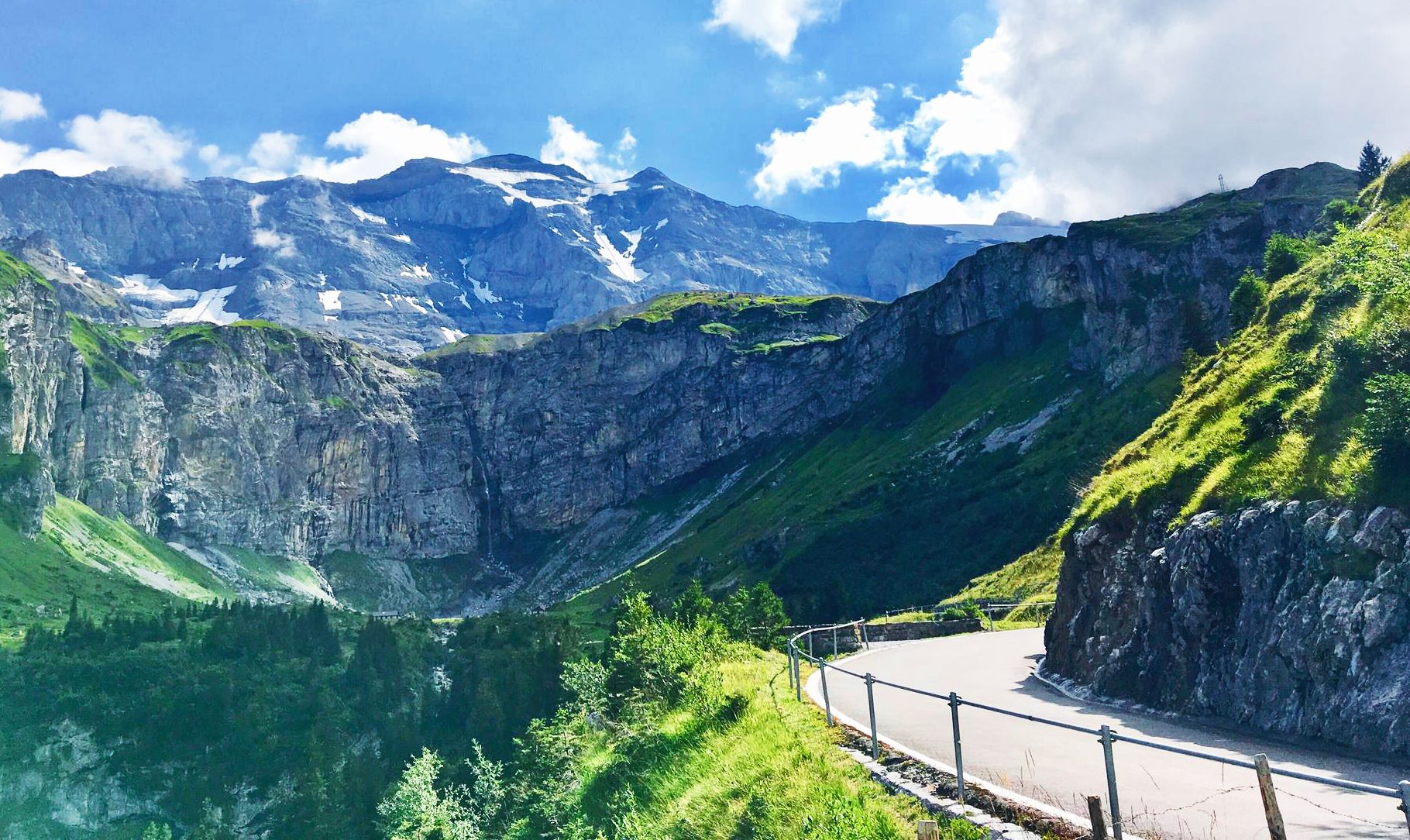
Alpine Panorama Route — 8 stages through the foothills of the Alps
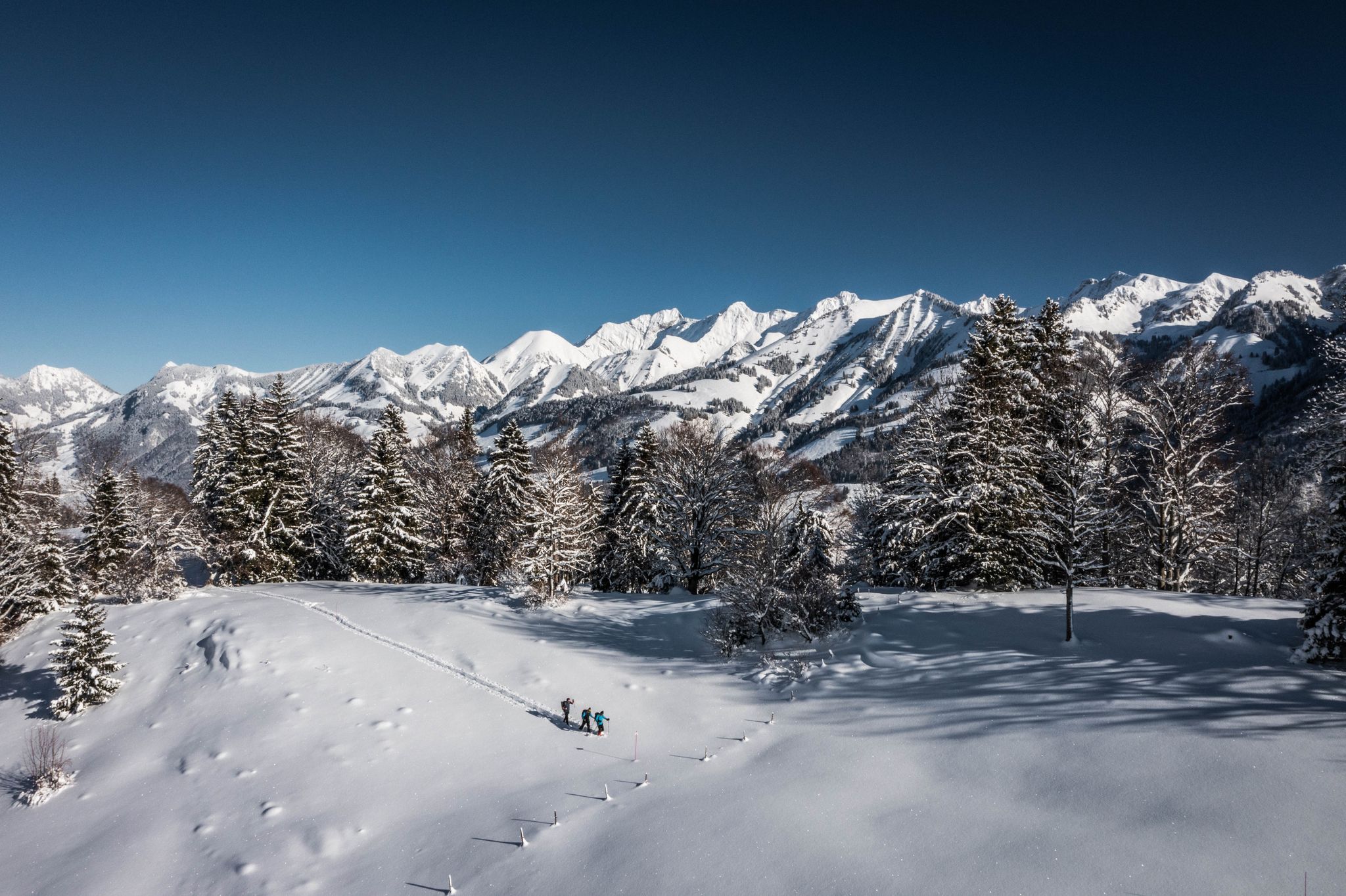
White landscapes – hiking on snowshoes in the Swiss canton of Fribourg
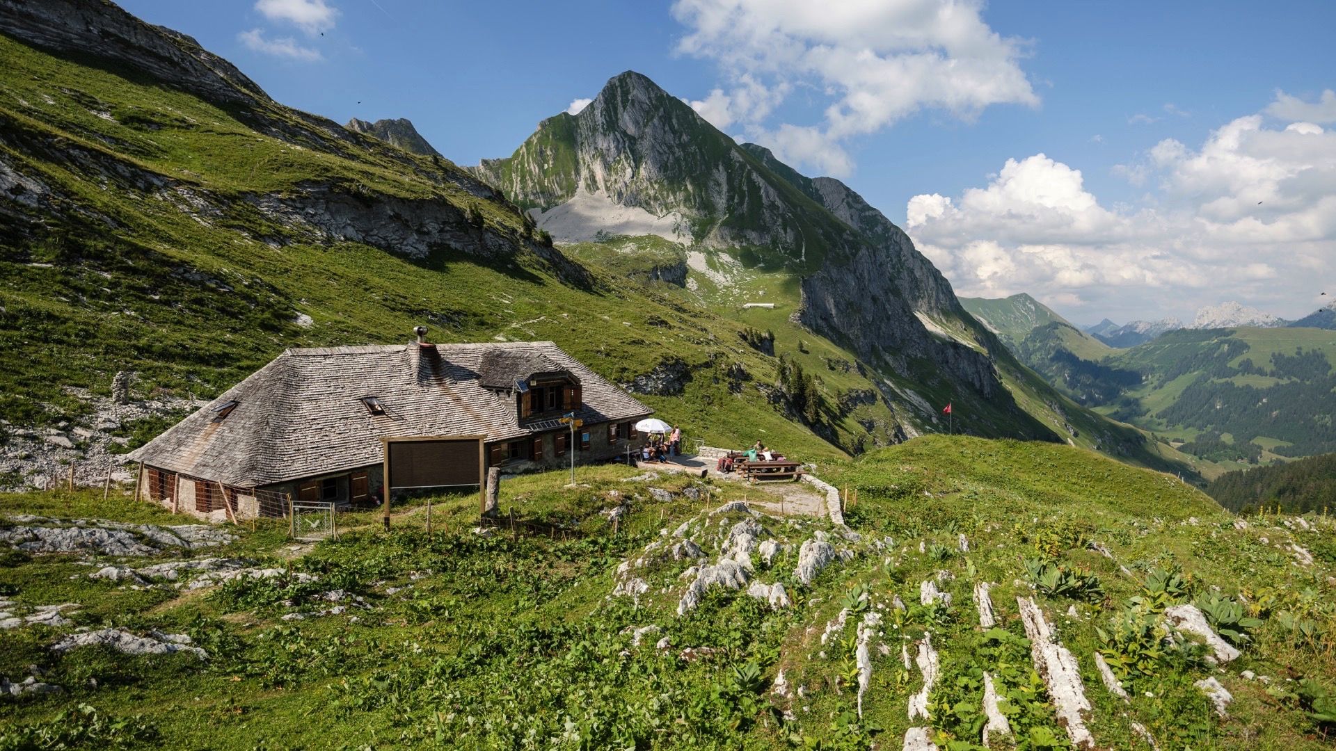
Le Grand Tour des Vanils - 158km in 11 Etappen
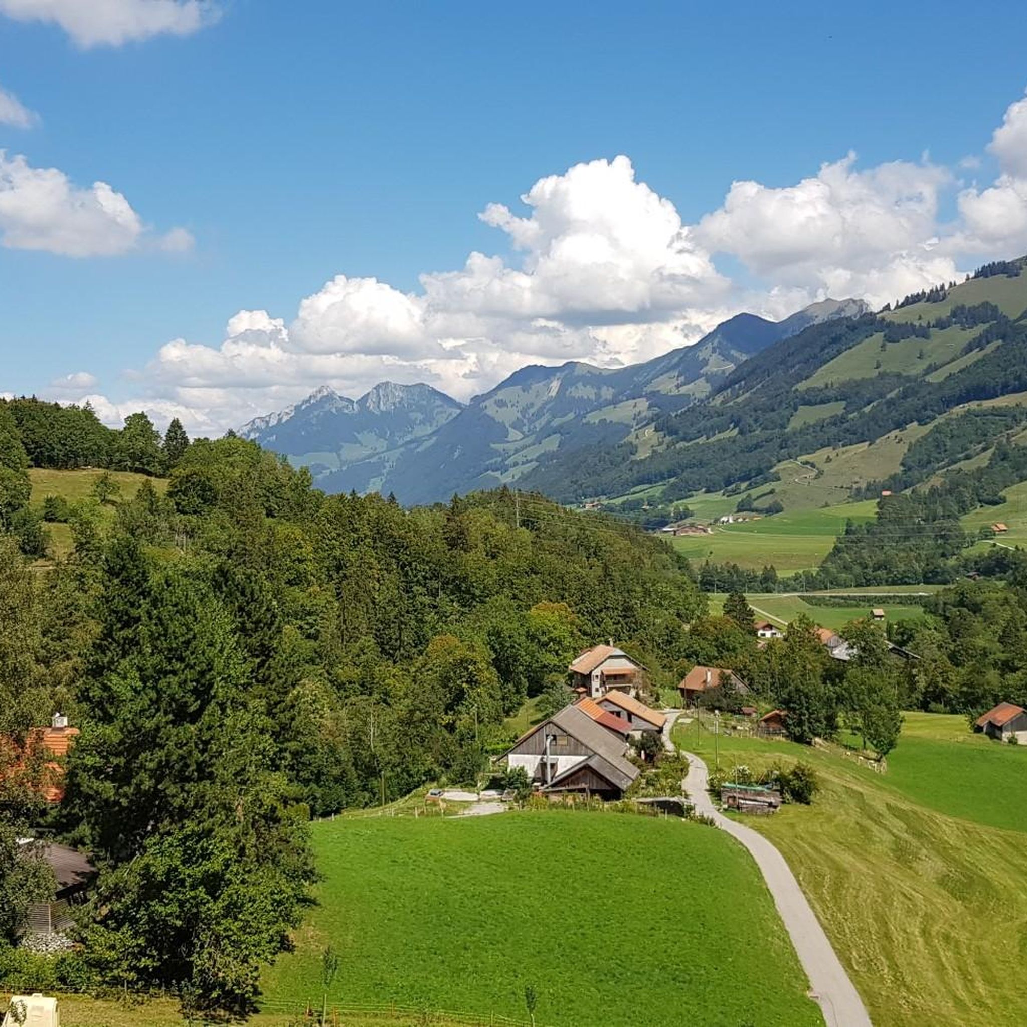
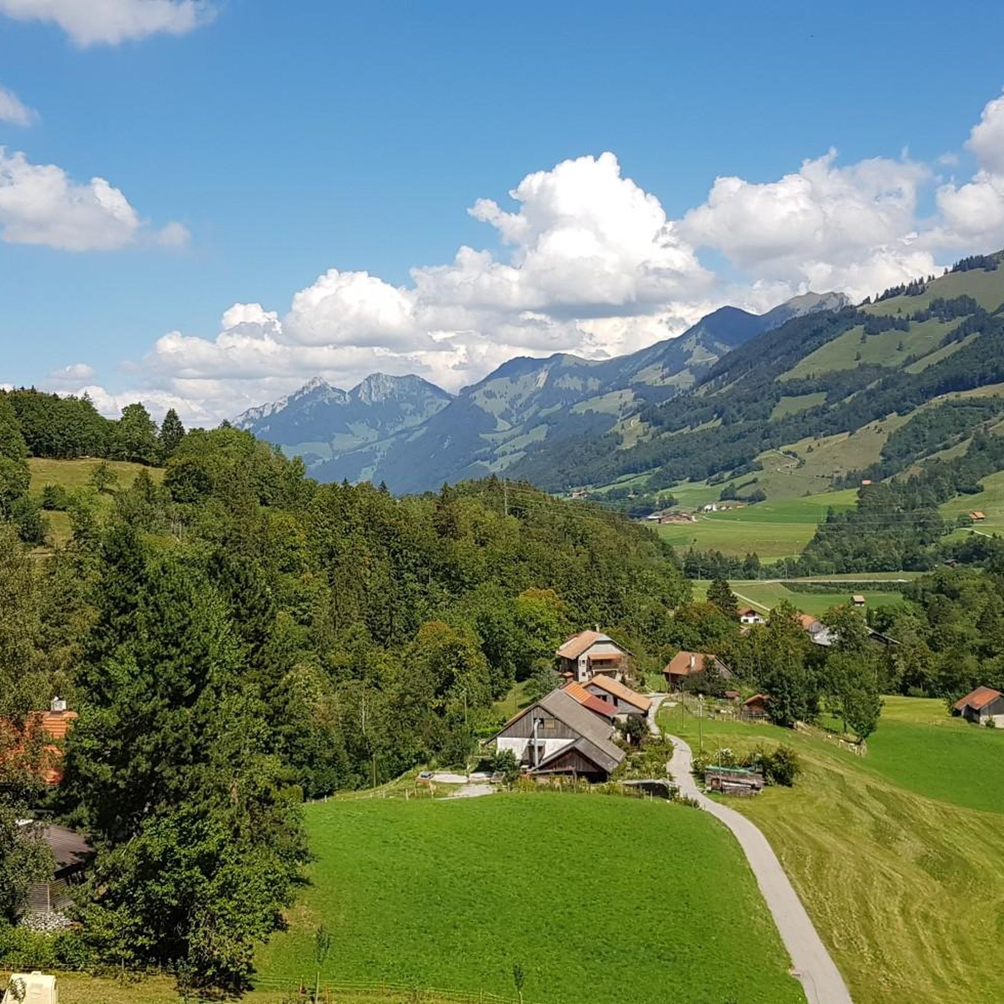
Hiking around Haut-Intyamon
Cycling around Haut-Intyamon

Gravel biking around Haut-Intyamon
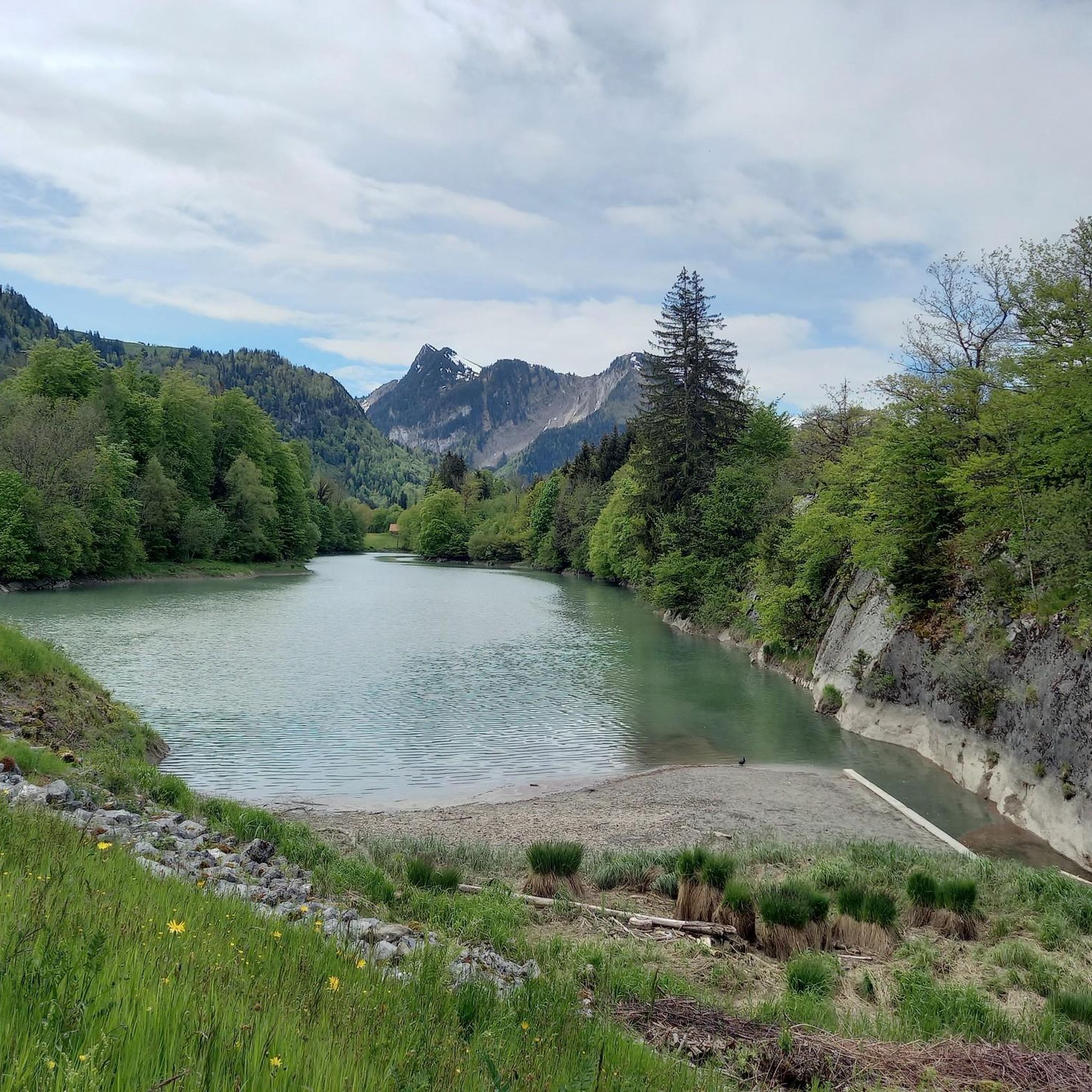
Road Cycling Routes around Haut-Intyamon
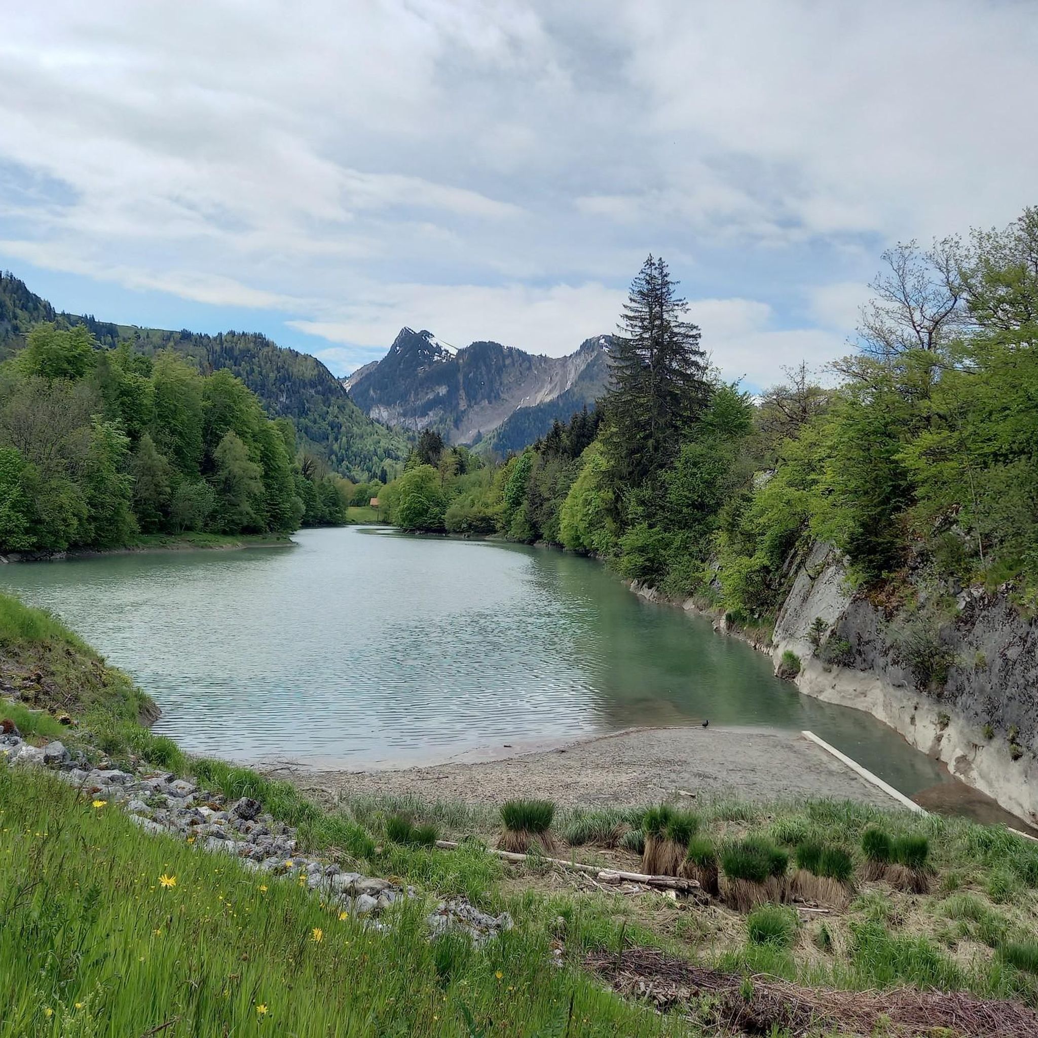
Running Trails around Haut-Intyamon
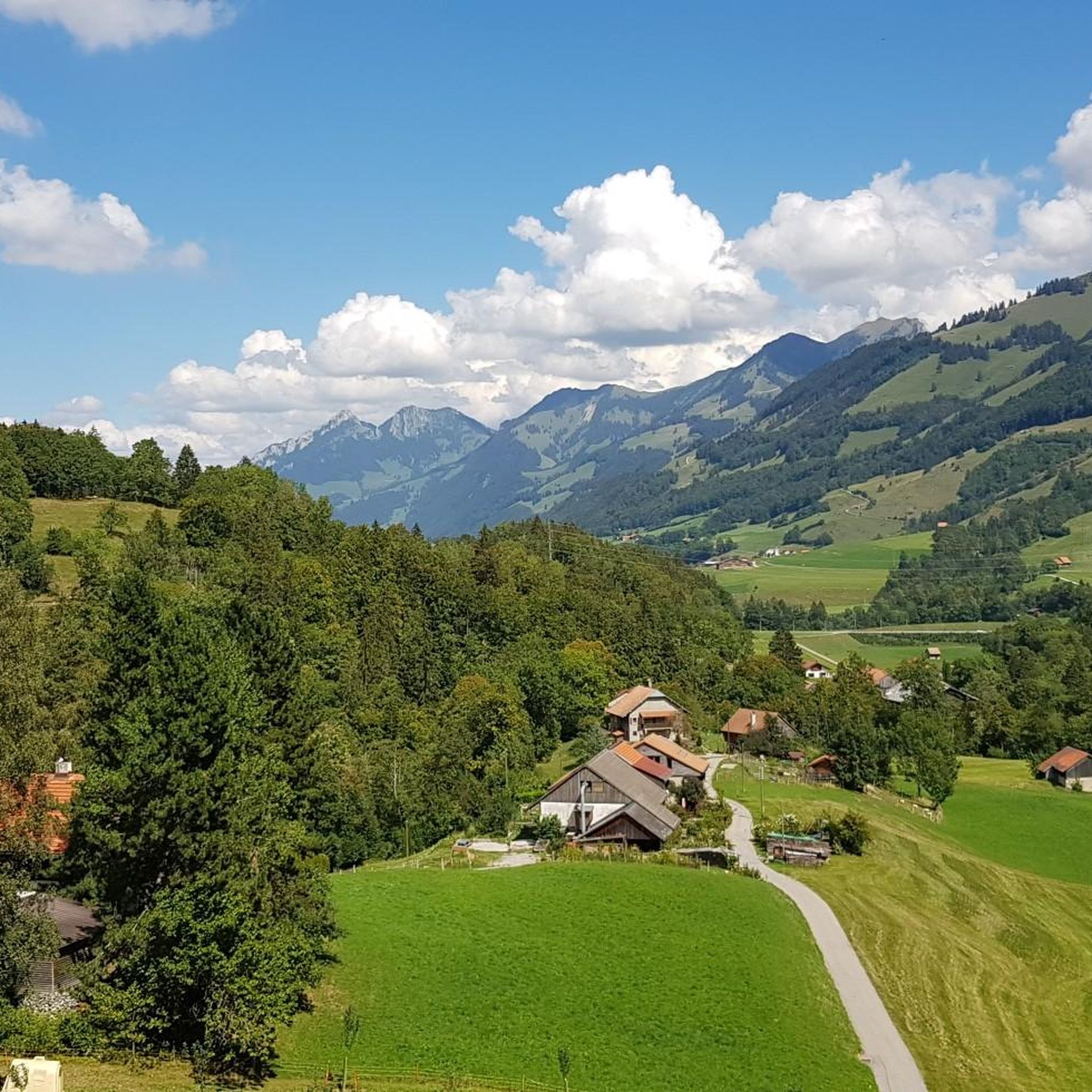
MTB Trails around Haut-Intyamon
Other adventures around Haut-Intyamon


Tips from the Community

Two legendary routes lead directly through the striking north face. Both start from the Mittelstation Plan-Francey (25 min approach) and end at the Vorgipfel. 🔵 Via Ferrata "Le Pilier" (K4 / C-D) Character: Sporty, sunny pleasure route over the northeast pillar. Requirement: Varied with steep steps and ledges. Perfect for experienced via ferrata climbers. 🔴 Via Ferrata "La Face" (K5 / D-E) Character: extremely exposed and very athletic directly through the wall. Requirement: Requires a lot of arm strength! At the end, a key section awaits: Either the bypass (K4+) or the strenuous overhang (K5+). 💡 Short Info: Equipment: Rental directly at the Mittelstation Plan-Francey possible. Fee: CHF 4.– for the maintenance of the facility. Descent: Float comfortably back to the Mittelstation with the cable car from the summit. Important: As it is a north face, only enter in absolutely dry conditions!
0
0

We stopped by here in June 2025. Unfortunately, the fromagerie was closed. The people were very nice, but it looked like it would be a while before it reopened.
0
0

Friendly welcome, excellent meal and reasonable price
0
0

Yes, from Bretaye or from the car park at the end of the forest road, it is an alpine pasture whose last few hundred metres are steep, ideal for the ibex with which I came face to face last June, in the fog!
1
0

At just 1,875 metres above sea level, the Dent de Jaman stands out with its shape reminiscent of the highest Alpine peaks. Even if you are in the Vaud Pre-Alps, its ascent is technical and requires a certain amount of experience.
3
2

An absolute must for cave freaks. The cave is dark, steep, wet and slippery.
4
0

A great view of Lake Geneva, which is not always the case as the lake is often covered in fog.
8
0

One of the oldest alpine pastures in the canton of Fribourg. There you will enjoy Fribourg specialties: ham, baked cheese slices, cheese fondue
0
0
Frequently Asked Questions
How many mountaineering routes are available in Haut-Intyamon?
Haut-Intyamon offers a diverse network of 25 mountaineering routes. These include 9 moderate and 16 difficult options, catering to various skill levels.
What kind of terrain can I expect on mountaineering routes in Haut-Intyamon?
The region, whose name means 'between the mountains', is characterized by steep cliffs, sharp ridges, and unique rock formations. You'll traverse varied landscapes from alpine pastures to rocky sections, often with panoramic views of Lake Geneva and the Gruyère Lake.
Are there any circular mountaineering routes in Haut-Intyamon?
Yes, many routes in Haut-Intyamon are designed as loops. For example, the Le Moléson Summit loop from Plan-Francey is a popular moderate option, offering ascents to the prominent Le Moléson summit.
What are some challenging mountaineering routes for experienced hikers?
For those seeking a challenge, the West Side of Moléson – Le Moléson Summit loop from Le Moléson is a difficult path featuring significant elevation gain through rugged terrain. Another demanding option is the Le Moléson Summit – Le Moléson loop from Moléson-Village.
What are the best viewpoints along the mountaineering trails?
Many routes lead to spectacular viewpoints. Le Moléson summit itself offers breathtaking vistas, accessible via routes like the Le Gros-Plané – Le Moléson Summit loop from Le Moléson. The Col de Soladier also provides stunning views of Lake Geneva and surrounding peaks.
Are there any natural attractions or landmarks to see near the mountaineering routes?
Absolutely! The region is rich in natural beauty. You can explore the Gorges du Chauderon, discover the unique rock formation of Scex que Plliau, or visit the Grotte des Nayes. The picturesque Intyamon Valley, with the Sarine river, also offers wild and pastoral scenery.
What do other mountaineers say about the routes in Haut-Intyamon?
The routes in Haut-Intyamon are highly rated by the komoot community, with an average score of 4.8 stars from over 20 reviews. More than 300 mountaineers have used komoot to explore the varied terrain, often praising the stunning views and diverse landscapes.
Can I combine mountaineering with cultural or historical exploration in Haut-Intyamon?
Yes, the region offers a blend of outdoor adventure and cultural experiences. You can find historical elements like a 17th-century bridge and old buildings along some routes. The nearby Gruyère region also boasts charming villages and the famous Gruyère Castle, perfect for a cultural counterpoint.
Are there any unique trails beyond traditional mountaineering?
Beyond the challenging peaks, the region offers unique experiences such as the AstroPléiades Astronomy Trail, which provides a different perspective on exploring the natural surroundings.
What is the best time of year for mountaineering in Haut-Intyamon?
While specific conditions vary, the region is generally excellent for mountaineering during warmer months. In winter, it transforms into a snowy paradise, offering opportunities for snowshoeing and cross-country skiing, though mountaineering conditions would be more challenging and require specialized gear.
Are there any routes that lead to the Le Moléson Summit from different starting points?
Yes, Le Moléson Summit is a popular destination with multiple access points. Besides the loop from Plan-Francey, you can also ascend via the Le Moléson Summit – Summit Cross on Moléson loop from La Casa Derrey, offering another challenging approach to the peak.
Most popular routes around Haut-Intyamon
Most popular attractions around Haut-Intyamon

Get inspired with the komoot mobile app


Explore more
Browse the best Mountain Hikes & Routes in other regions.
