The best running trails around Montauriol
4.3
(58)
1,058
runners
70
runs
Jogging routes Montauriol traverse the diverse landscapes of the Aspres region in southern France, characterized by stony soils and a Mediterranean climate. The area features elevation changes ranging from 149 to 463 meters, offering varied terrain for runners. Wooded hills, vineyards, and paths provide opportunities for trail running, with panoramic views including the Pic du Canigou and the coastal plain. This environment supports a range of running experiences, from gentle paths to more challenging ascents.
Best jogging routes around Montauriol
…Last updated: July 4, 2026
13
runners
27.4km
03:22
600m
600m
Hard run. Very good fitness required. Mostly accessible paths. Some sure footedness required.
4.5
(4)
9
runners
13.6km
01:39
310m
310m
Hard run. Very good fitness required. Mostly accessible paths. Some sure footedness required.

Sign up for free
8
runners
38.4km
04:21
500m
500m
Hard run. Very good fitness required. Mostly accessible paths. Some sure footedness required.
5
runners
14.4km
01:39
190m
190m
Moderate run. Good fitness required. Mostly accessible paths. Some sure footedness required.
4
runners
10.3km
01:14
230m
230m
Moderate run. Good fitness required. Mostly paved surfaces. Suitable for all skill levels.
Get access to more routes and recommendations from other explorers.
Sign up for free
Already have an account?
Our route recommendations are based on thousands of hikes, rides, and runs completed by other people on komoot.
Start today with a free account
Your next adventure awaits.
Login or Signup

Tips from the Community

Very cute little passageway
0
0

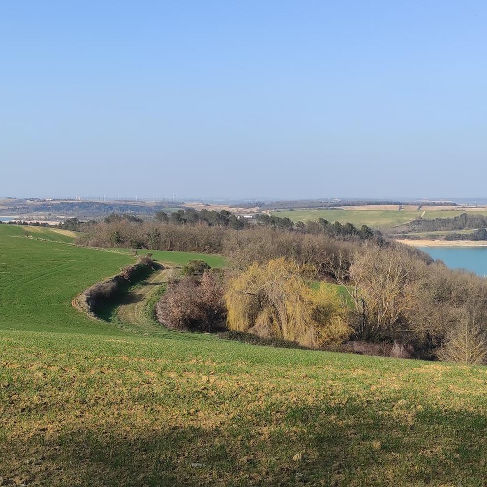
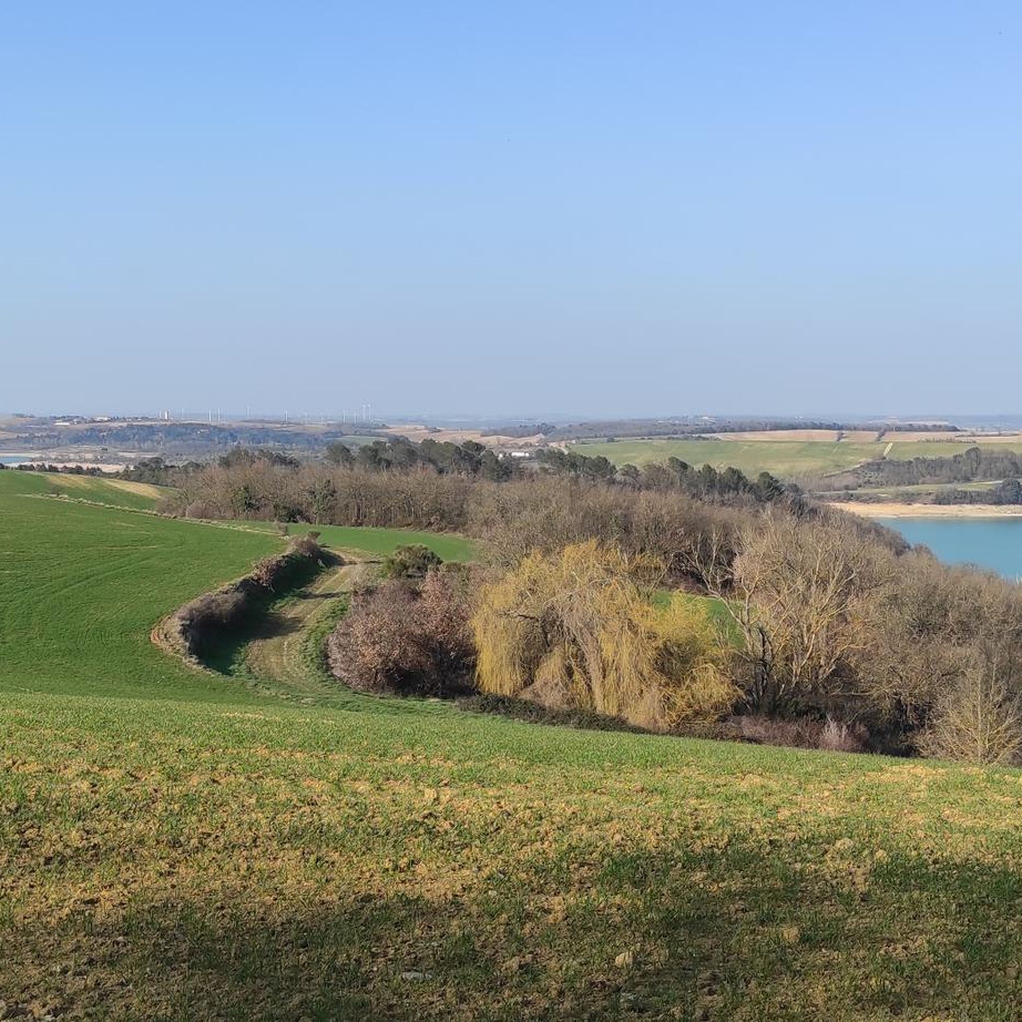
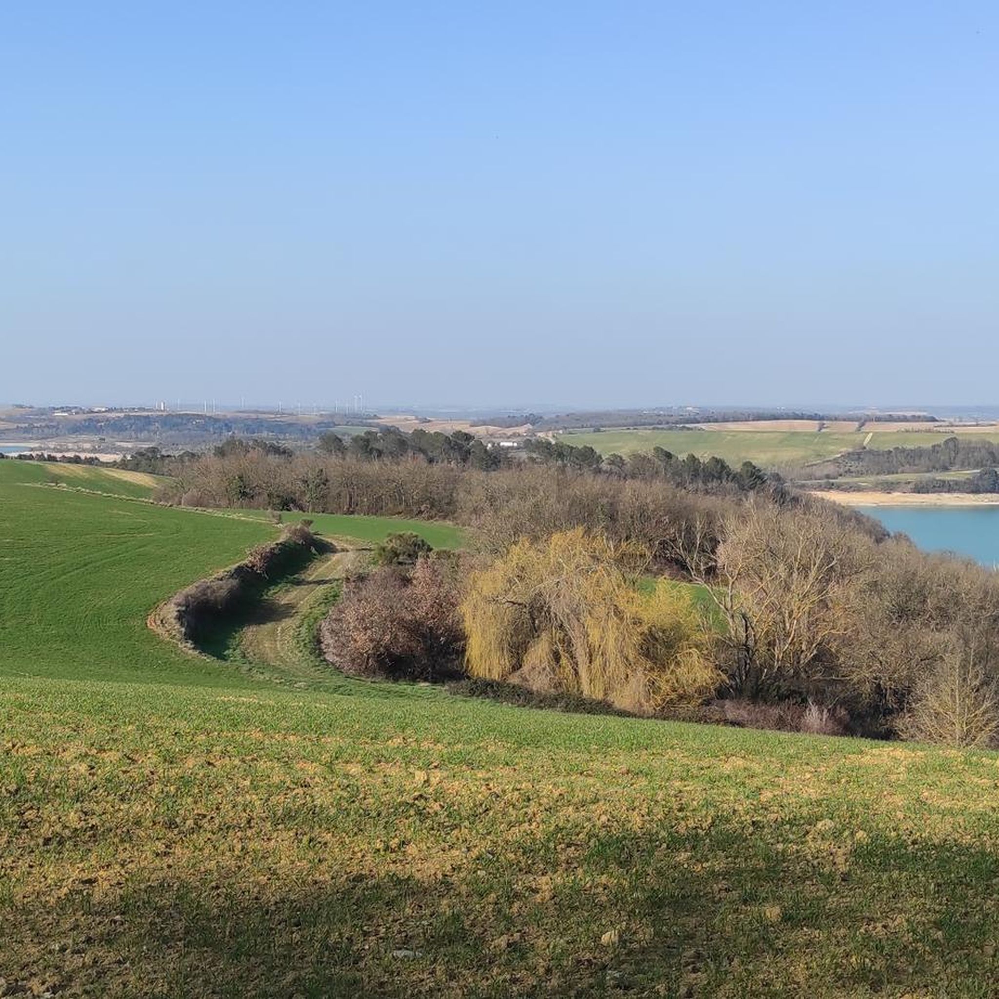
Very beautiful reservoir with turquoise waters
0
0

Belflou castle, nestled in the eponymous village, is distinguished by its remarkable moat. These aquatic ditches, surrounding the castle, measure approximately 10 meters wide. The castle, still standing, offers an authentic glimpse of feudal architecture.
0
0

Missed, but next time I stop, the corner is too great
0
0
Both the road around and the base are a haven of peace...
0
0

Nice place to stop and recharge energy at the shadow and refill water.
0
0

Frequently Asked Questions
How many running routes are available around Montauriol?
Montauriol offers a wide selection of running routes, with around 75 trails documented on komoot. These range from easy paths to more challenging ascents, catering to various fitness levels.
What kind of terrain can I expect on jogging routes in Montauriol?
The terrain around Montauriol is quite varied, characterized by the stony soils of the Aspres region. You'll find paths winding through very wooded landscapes, vineyards, and hills with significant elevation changes. Some routes feature over 1000 meters of ascent, while others offer more moderate climbs, providing diverse experiences for runners.
Are there any easy or beginner-friendly jogging routes in the Montauriol area?
Yes, while many routes offer a challenge, there are options suitable for beginners. Out of the 75 routes, 2 are classified as easy, and 54 are moderate. These trails provide a gentler introduction to jogging in the region, often with less elevation gain.
Where can I find longer distance running trails near Montauriol?
For longer distances, consider routes like the Pech des Carmes loop from Cumiès, which spans 27.4 km with over 600 meters of elevation gain. Another excellent option is the Lac Dip – Lake Ganguise loop from Baraigne, covering 38.4 km with nearly 500 meters of ascent, perfect for a challenging long run.
Are there any circular jogging routes in Montauriol?
Many of the running routes in Montauriol are designed as circular loops, allowing you to start and finish at the same point. Examples include the challenging Pech des Carmes loop from Mas-Saintes-Puelles and the moderate Lac de Régambert loop from Salles-sur-l'Hers, which takes you through scenic lake surroundings.
What are the best times of year to go jogging in Montauriol?
Montauriol benefits from a Mediterranean climate, making outdoor activities pleasant for much of the year. Spring and autumn generally offer the most comfortable temperatures for jogging. Summers can be warm, so early morning or late evening runs are advisable, while winters are typically mild, allowing for year-round running, though some higher elevation paths might be cooler.
What kind of scenic views can I expect on the running trails around Montauriol?
Jogging in Montauriol offers diverse scenic views. You'll run through wooded hills and vineyards, with opportunities for panoramic vistas. Many routes provide stunning glimpses of the iconic Pic du Canigou and the coastal plain, showcasing the natural beauty of the Pyrénées-Orientales department.
Are there any notable landmarks or attractions along the jogging routes?
While specific routes may vary, the region around Montauriol is rich in natural and historical sites. You might encounter charming village architecture, such as the pre-Romanesque church of Saint Saturnin in Montauriol itself, or the tranquil Chapel St Amanç de la Ribera. For those exploring wider, the Canal du Midi is also nearby, offering flat, scenic paths.
What do other runners say about the jogging experience in Montauriol?
The running routes in Montauriol are highly regarded by the komoot community, with an average score of 4.6 stars from over 50 reviews. Runners often praise the diverse landscapes, from wooded paths to vineyards, and the panoramic views, including those of the Pic du Canigou. The variety of terrain, from moderate to challenging, is also frequently highlighted.
Are there any running routes that pass by lakes or rivers?
Yes, the region features several streams like the Canterrane, Soler, and Fontcouverte, which add to the natural beauty. For a route specifically featuring a lake, the Lac de Régambert loop from Salles-sur-l'Hers is a moderate 14.4 km trail that leads you through picturesque lake surroundings.
Can I find routes that offer a good workout with significant elevation gain?
Absolutely. Montauriol is known for its varied terrain, and many routes offer substantial elevation gain, appealing to those looking for a challenging workout. The Pech des Carmes loop from Cumiès, for instance, features over 600 meters of ascent over 27.4 km, providing a demanding trail running experience.
Most popular routes around Montauriol
Most popular attractions around Montauriol

Get inspired with the komoot mobile app


Explore more
Browse the best Running Trails & Routes in other regions.
