The best running trails around Arnave
4.5
(100)
3,670
runners
185
runs
Jogging routes around Arnave offer diverse terrain within the Pyrénées Ariégeoises Regional Natural Park, characterized by high valleys, winding streams, and numerous waterfalls. The region's landscape includes the Arnave Stream, which flows into the larger Ariège River, providing varied environments for running. Protected Natura 2000 sites further enhance the natural appeal, ensuring well-preserved ecosystems for outdoor activities. This setting provides a mix of challenging ascents and scenic paths for runners.
Best jogging routes around Arnave
- The most popular jogging route…
Last updated: October 21, 2026
4.8
(5)
193
runners
11.3km
02:01
750m
750m
Hard run. Very good fitness required. Sure-footedness, sturdy shoes and alpine experience required.
5.0
(3)
130
runners
25.8km
04:49
1,820m
1,820m
Hard run. Very good fitness required. Sure-footedness, sturdy shoes and alpine experience required.

5.0
(3)
118
runners
18.7km
03:13
1,060m
1,060m
Hard run. Very good fitness required. Sure-footedness, sturdy shoes and alpine experience required.
5.0
(4)
71
runners
16.1km
02:06
680m
680m
Hard run. Very good fitness required. Sure-footedness, sturdy shoes and alpine experience required.
54
runners
29.3km
05:11
2,040m
2,040m
Hard run. Very good fitness required. Sure-footedness, sturdy shoes and alpine experience required.
Get access to more routes and recommendations from other explorers.
Already have an account?
Our route recommendations are based on thousands of hikes, rides, and runs completed by other people on komoot.
Start today with a free account
Your next adventure awaits.

Tips from the Community

The Pic de la Lauzate (2,339 m) is a scenic summit in the eastern Pyrenees in the French department of Pyrénées-Orientales. The summit offers an impressive panorama over the Cerdagne, the Capcir and the surrounding mountain ranges as far as Andorra. The mostly easy ascent leads through open mountain pastures and over rocky slopes and is particularly popular with hikers who appreciate quiet mountain landscapes.
0
0
Les Terbèzes is a striking viewpoint in the eastern Pyrenees of France. The rocky high plateau offers a wide view over the Cerdagne highlands to the surrounding peaks. The varied landscape of meadows, rocks, and alpine vegetation makes the area a popular destination for hikers who appreciate tranquility, nature, and impressive panoramas.
0
1

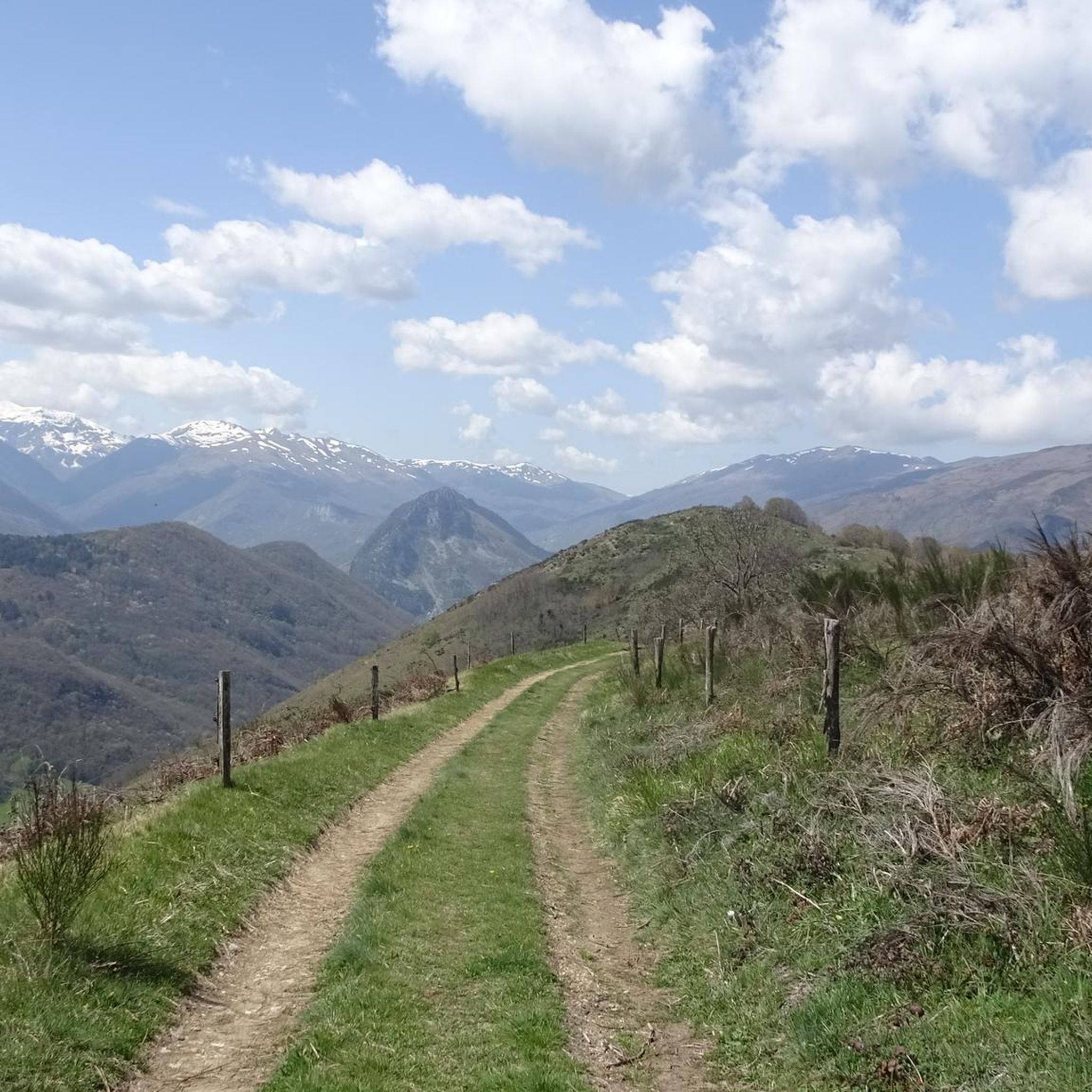
A magnificent location offering stunning views of the Ariège Pyrenees: the Montcalm Massif, the Bassiès Massif, the Beille Plateau, and more. Easily accessible from Croquié in both summer and winter, provided you're well-equipped and at least a little fit (800m+). Its only drawback: it's very crowded, especially in winter.
1
1

Possibility of bivouac and magnificent natural spectacle by numerous griffon vultures
2
2


A very beautiful place, also very secluded and you have a wonderful view.
0
0

Popular hike. Constant and easy climb
1
1
Frequently Asked Questions
How many running routes are available around Arnave?
There are over 150 running routes in the Arnave area, offering a wide range of options for different fitness levels. You'll find everything from moderate paths to challenging mountain trails within the Pyrénées Ariégeoises Regional Natural Park.
Are there any easy jogging routes in Arnave for beginners or casual runners?
While many routes in Arnave are challenging, there are a few easier options. The region offers 8 routes classified as easy, perfect for those looking for a less strenuous run or a gentle introduction to the area's beautiful landscapes.
What kind of terrain can I expect on the jogging trails near Arnave?
The terrain around Arnave is diverse, ranging from deep valleys to mountain peaks. You'll encounter paths through dense forests, along winding streams like the Arnave stream, and up varied elevations, characteristic of the Pyrenean landscape. Some routes also feature balcony paths and quiet road sections.
Are there any scenic running routes with good viewpoints in Arnave?
Absolutely. Many routes offer stunning vistas of the Ariège Pyrenees and the surrounding valleys. For expansive mountain views, consider the Ussat Pass – View of the Pyrenees loop from Tarascon-sur-Ariège. You can also find breathtaking panoramas from highlights like View of the Ariège Mountains from Clot de la Carbonnière or Panoramic View of the Ariège Pyrenees.
Can I find any running routes that pass by waterfalls in the Arnave area?
Yes, the region is known for its water features. The Arnave stream, fed by smaller streams like the Ruisseau de la Sécaille, creates numerous waterfalls, including one known as "la poêle" (the "frying pan"). Many routes follow these streams, offering picturesque views of the cascading water.
What do other runners say about the trails in Arnave?
The running routes in Arnave are highly rated by the komoot community, with an average score of 4.4 stars from over 70 reviews. Runners often praise the challenging ascents, the stunning Pyrenean scenery, and the well-preserved natural environment of the Pyrénées Ariégeoises Regional Natural Park.
Are there any historical landmarks or points of interest along the jogging routes?
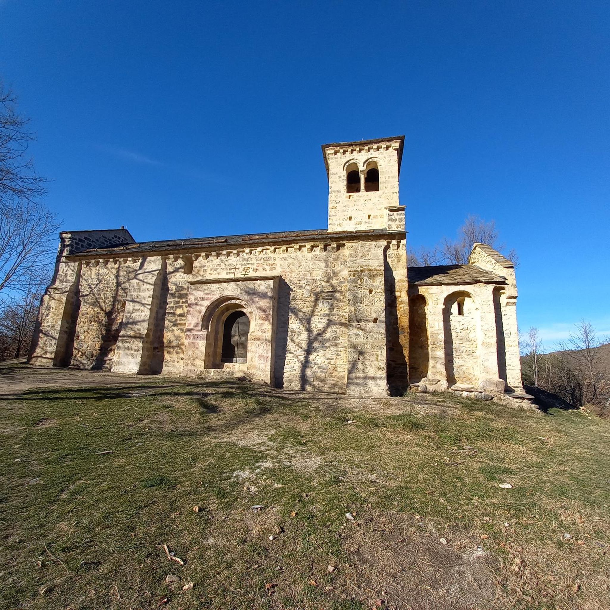
Yes, the area combines natural beauty with historical significance. The Mont Fourcat Shelter – Mount Fourcat 2,002 m loop from Tarascon-sur-Ariège offers a challenging run with views of the majestic Mount Fourcat. The Saint-Paul Chapel, a Romanesque chapel dating back to the 10th and 11th centuries, also offers tranquil views of the Arnave valley.
Are there any circular running routes available in Arnave?
Many of the running routes around Arnave are designed as loops, allowing you to start and finish in the same location. For example, the Mont Fourcat Shelter – Mount Fourcat loop from Mercus-Garrabet is a challenging circular option for experienced trail runners.
What is a good challenging running route for experienced trail runners?
For experienced trail runners seeking a significant challenge, the Le Mont Fourcat – trail starting from the Brougues car park is a popular choice. This route covers approximately 11.3 km with substantial elevation gain, typically taking over 2 hours to complete.
Are there any running routes that start from Tarascon-sur-Ariège?
Yes, several excellent running routes are accessible from Tarascon-sur-Ariège. A notable option is the Running loop from Tarascon-sur-Ariège, which provides a good distance and elevation for a solid workout.
What are the typical elevations encountered on Arnave's running trails?
Given Arnave's location in the Pyrenees, you can expect significant elevation changes. Peaks in the area reach up to 1,300 meters (4,300 ft) above sea level, and some routes, like the Lauzate Peak – Mont Fourcat Shelter Loop, can involve over 1,000 meters of elevation gain, making them ideal for challenging trail running.
Most popular attractions around Arnave

Get inspired with the komoot mobile app


Explore more
Browse the best Running Trails & Routes in other regions.
