The best mountain hikes around Luzein
4.9
(32)
301
hikers
12
hikes
Mountaineering routes around Luzein are situated in the Prättigau/Davos region of the Grisons canton, Switzerland, offering an alpine landscape ideal for challenging ascents. The municipality, at an elevation of approximately 958 meters, features significant forested areas and rugged non-productive land, including mountains and rivers. This geography provides a diverse environment for mountaineering, with trails leading to prominent peaks and through high alpine terrain.
Best mountaineering routes around Luzein
- The most popular mountaineering route is Sulzfluh Via Ferrata – Sulzfluh Summit…
Last updated: July 7, 2026
5.0
(15)
139
hikers
12.5km
07:34
1,130m
1,130m
Hard mountaineering route. Very good fitness required. Sure-footedness, sturdy shoes and alpine experience required.
5.0
(7)
50
hikers
16.5km
08:10
1,150m
1,150m
Hard mountaineering route. Very good fitness required. Sure-footedness, sturdy shoes and alpine experience required.

Sign up for free
5.0
(1)
25
hikers
14.5km
06:20
810m
810m
Hard mountaineering route. Very good fitness required. Sure-footedness, sturdy shoes and alpine experience required.
5.0
(1)
18
hikers
15.6km
06:57
1,040m
1,040m
Hard mountaineering route. Very good fitness required. Sure-footedness, sturdy shoes and alpine experience required.
5.0
(3)
22
hikers
15.4km
05:23
760m
760m
Hard mountaineering route. Very good fitness required. Mostly accessible paths. Sure-footedness required.
Get access to more routes and recommendations from other explorers.
Sign up for free
Already have an account?
Our route recommendations are based on thousands of hikes, rides, and runs completed by other people on komoot.
Start today with a free account
Your next adventure awaits.
Login or Signup
Popular around Luzein
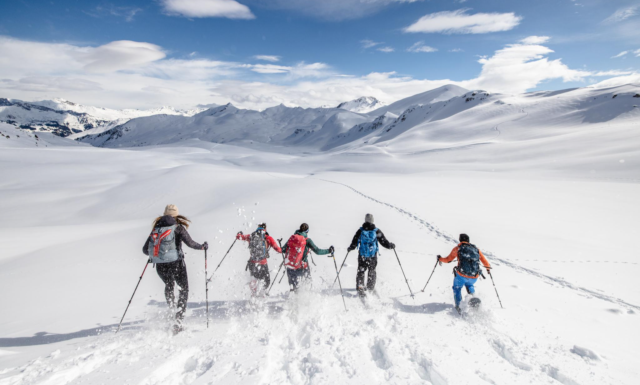
Snowy fun and hut cuisine – Winter Adventures in the Prättigau
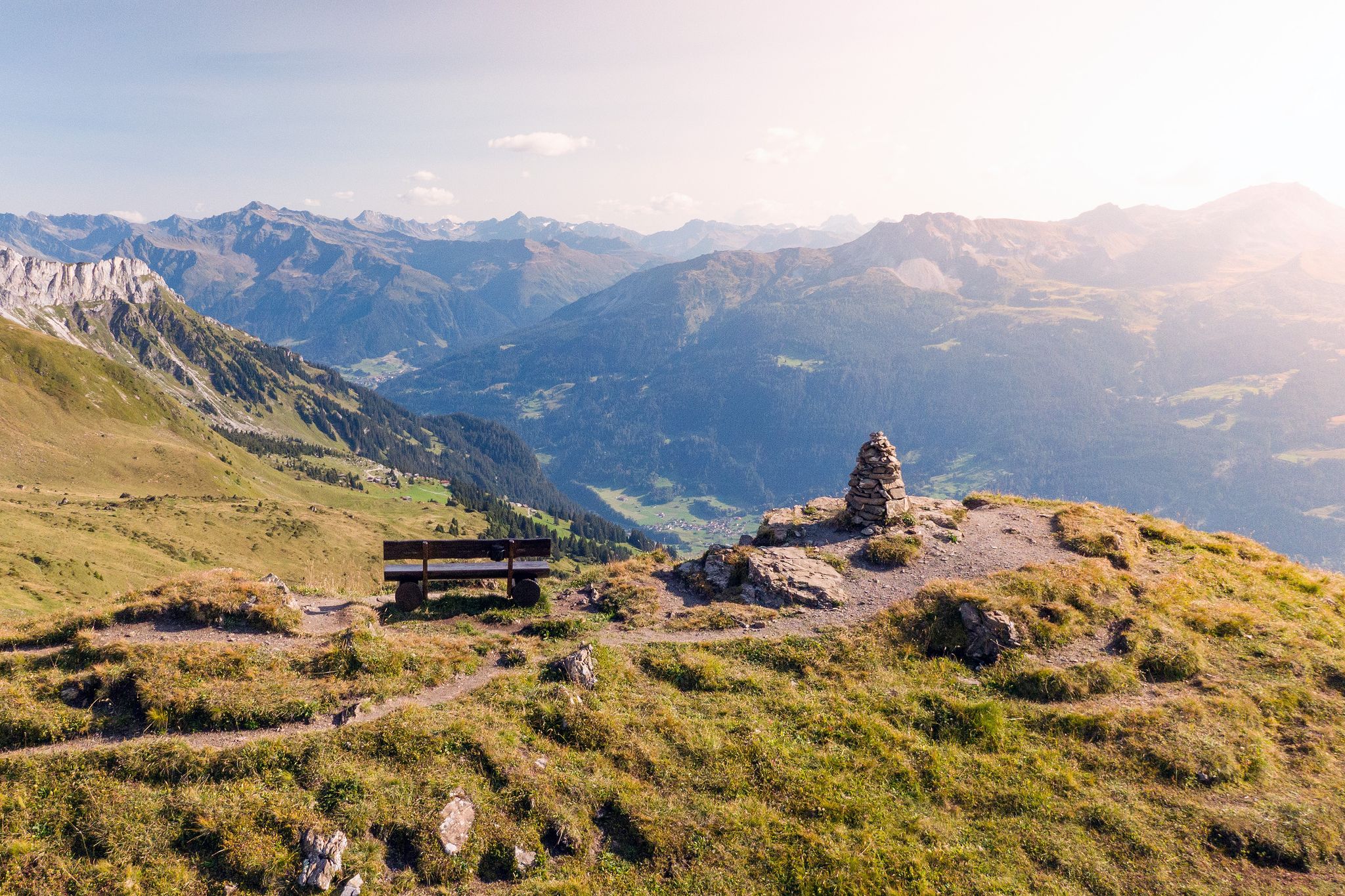
Prättigau High Trail – discover the sunny side of the Rätikon
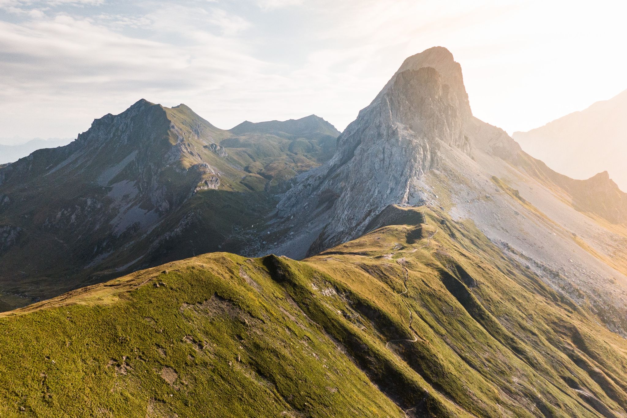
3-day trail run in Switzerland – Davos to Prättigau
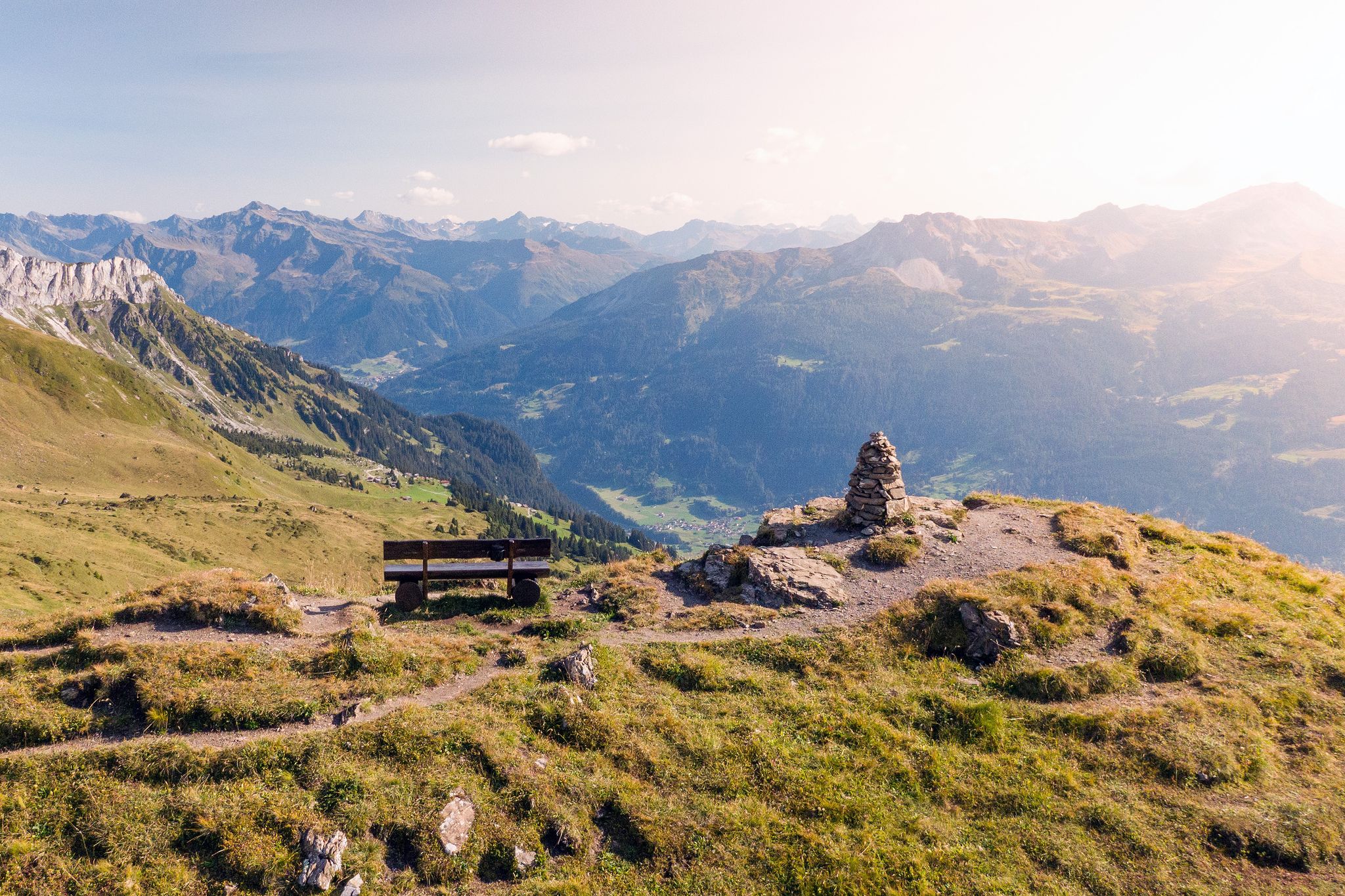
Long-distance hiking in the Grisons — 3 routes in Switzerland
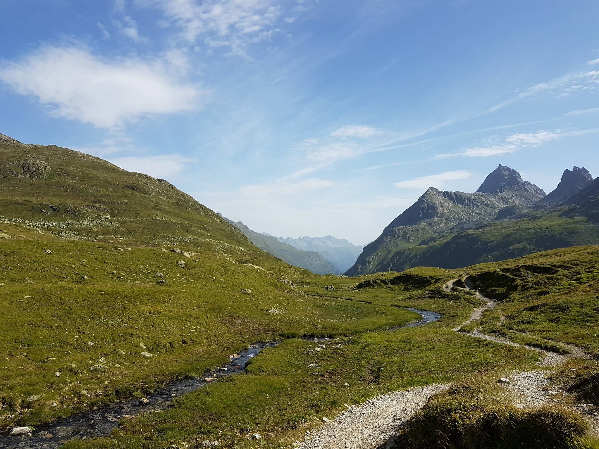
Crossing the Alps over a weekend - 3 days in the Rätikon
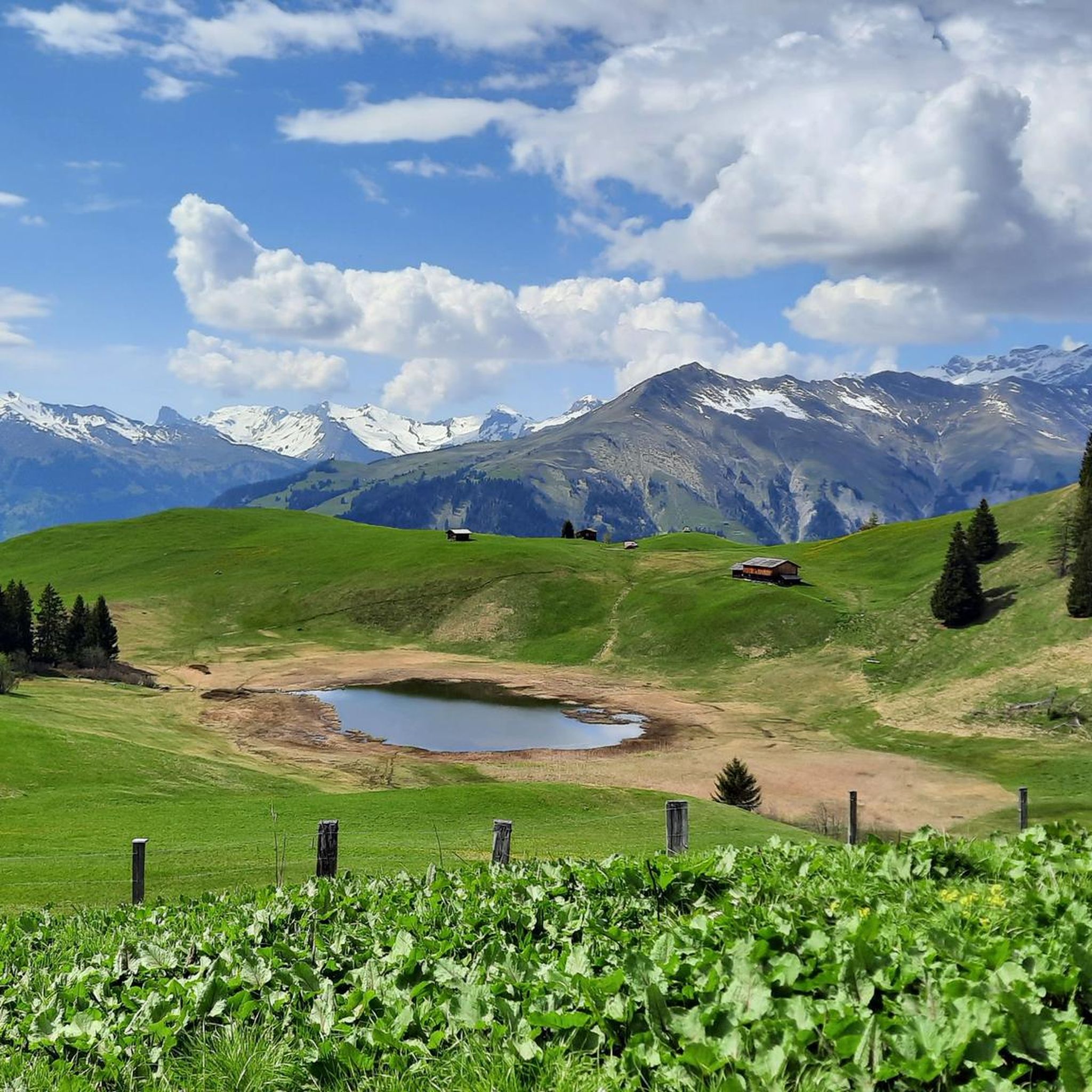
Hiking around Luzein
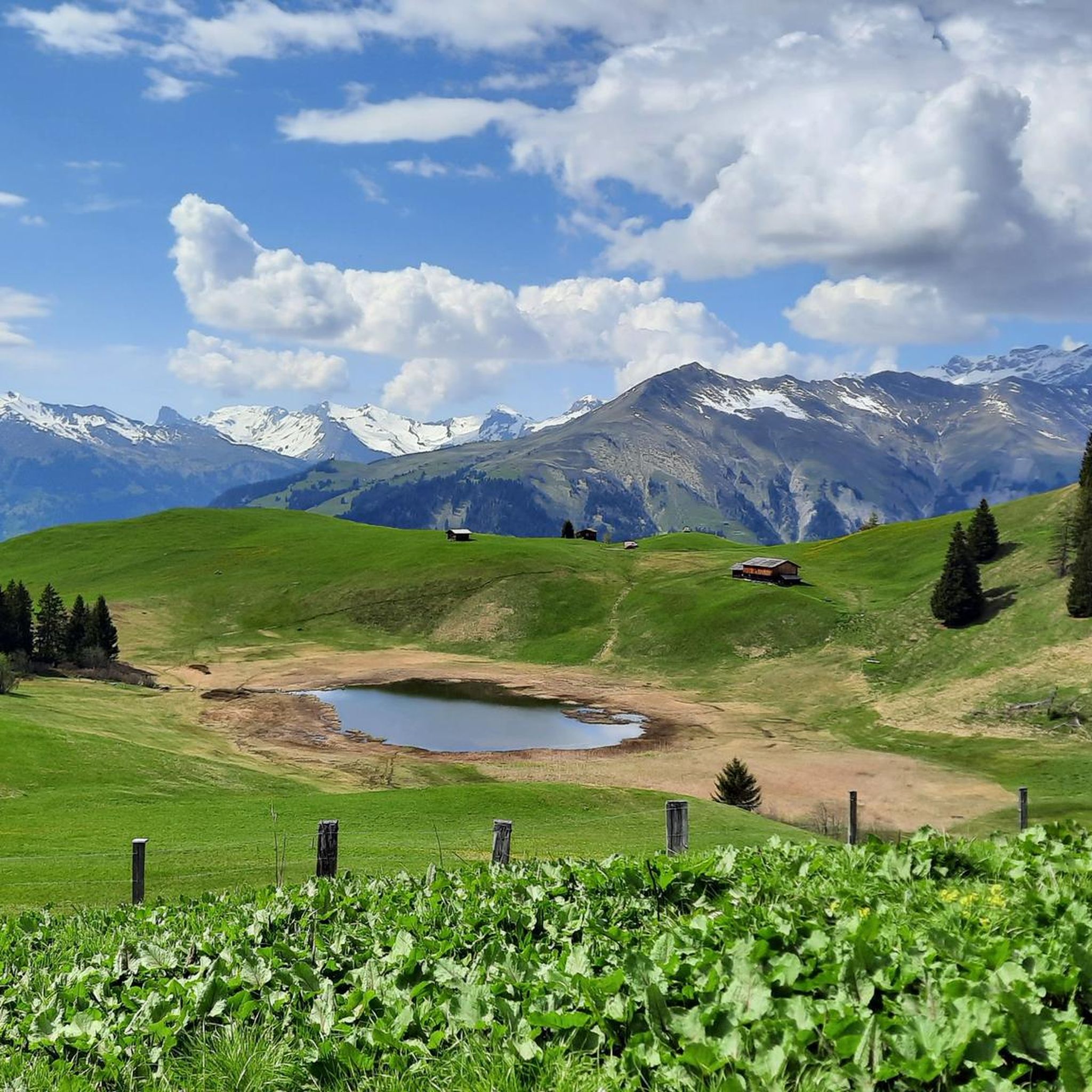
Road Cycling Routes around Luzein
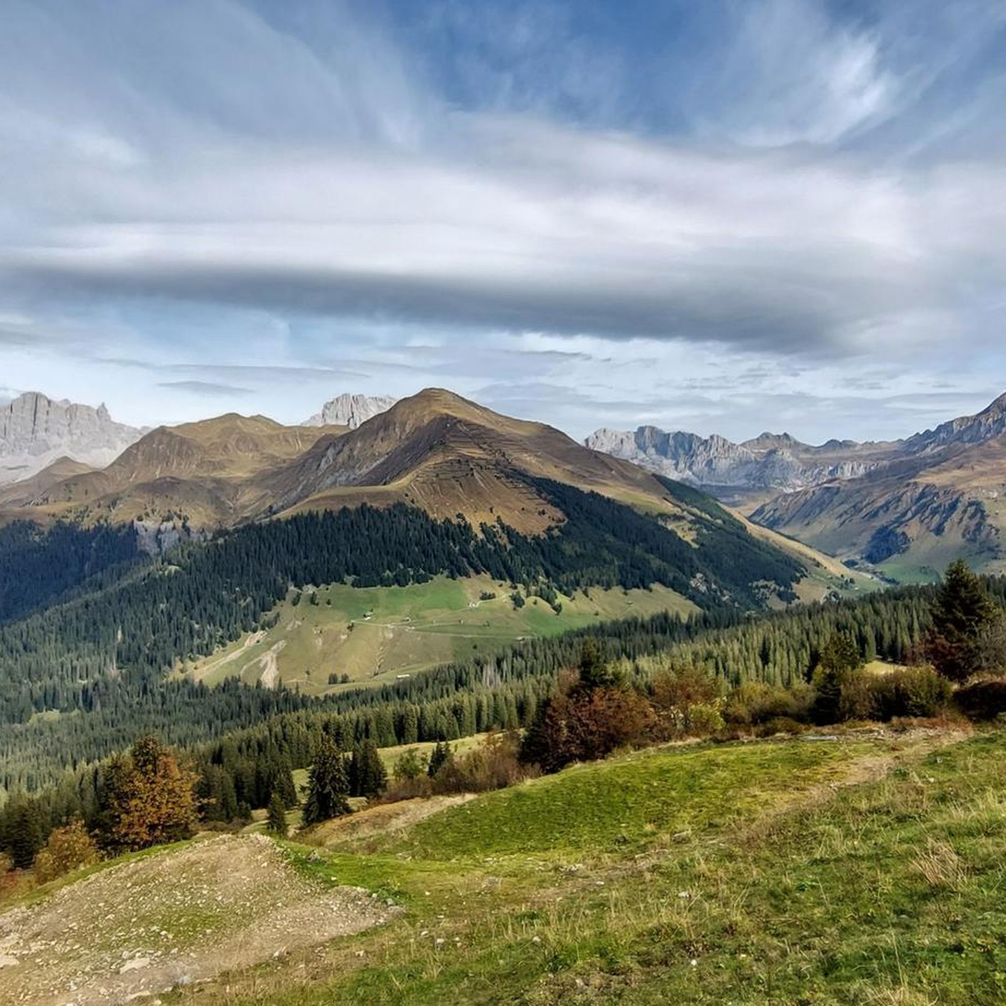
Cycling around Luzein
MTB Trails around Luzein
Gravel biking around Luzein
Other adventures around Luzein


Tips from the Community

This section leads you along the south face of the mighty Sulzfluh, which at 2,817 meters is one of the highest peaks in the Rätikon and marks the border with Vorarlberg. The massive limestone wall, which separates the Gauertal in Montafon from the St. Antöniental, is considered one of the most impressive mountains in the region. Below the earth's surface, an extensive network of caves, some of which can only be climbed, branches out. Particularly impressive are the Gauablick- and Seehöhle, the Abgrundhöli, or the three-kilometer-long Apollohöhle. Above, you can enjoy the view over the wonderfully open meadows of Prättigau and watch the cotton grass dance in the wind.
1
0
Below the rugged Sulzfluh, at an altitude of 2,236 meters, lies the Carschinahütte of the Swiss Alpine Club. After extensive renovation, one of the most beautiful and most visited huts in the country is now also one of the most sustainable. A solar system will ensure a reliable and environmentally friendly power supply in the future. The kitchen and sanitary facilities have been completely renewed, along with the spring capture, the filter system, and the entire wastewater infrastructure. Adapted room sizes, wider mattresses, and a dining room renovated with a lot of wood ensure additional coziness. What has remained is what has always characterized the hut: a unique location, the impressive mountain scenery of the Rätikon, the warm and rustic atmosphere, a cordial hut team, as well as the regional delicacies of excellent quality that are served here.
2
0


Stunning panoramic views at the top make the climb absolutely worth it. The trail conditions can change quickly depending on the season, so check the weather before heading up. Early mornings offer the quietest experience.
0
0


I think most people take a break here; it's a nice spot, but then it goes up a bit further.
3
0
Frequently Asked Questions
How many mountaineering routes are available around Luzein?
There are over 10 dedicated mountaineering routes around Luzein, all offering challenging ascents and high alpine experiences. The komoot community has explored these trails over 300 times.
What is the typical difficulty level for mountaineering routes in Luzein?
All mountaineering routes around Luzein are classified as difficult, catering to experienced mountaineers. They often involve significant elevation gain, rugged terrain, and can include technical sections like via ferratas, such as the Sulzfluh Via Ferrata – Sulzfluh Summit (2,818 m) loop.
Are there any family-friendly mountaineering options in Luzein?
The mountaineering routes in Luzein are generally demanding and classified as difficult, making them less suitable for families with young children or beginners. However, the broader Prättigau/Davos region offers a variety of easier hiking trails that might be more appropriate for a family outing.
What are some notable natural attractions to see while mountaineering in Luzein?
The region boasts stunning natural features. You might encounter beautiful mountain lakes like Partnunsee, which is known for its crystal-clear waters. There are also impressive gorges nearby, such as the Gauertal, offering dramatic landscapes.
Are there any circular mountaineering routes in Luzein?
Yes, many of the mountaineering routes around Luzein are designed as loops, allowing you to start and finish at the same point. Examples include the challenging Sulzfluh Summit (2,818 m) – Karrenfeld High Plateau loop or the Plasseggen Pass with customs hut – Grubenpass (2,232 m) loop.
What is the best time of year for mountaineering in Luzein?
The prime season for mountaineering in Luzein is typically during the warmer months, from late spring to early autumn (June to September), when trails are generally free of snow and weather conditions are more stable. Always check local weather forecasts and trail conditions before heading out.
Can I find parking near the starting points of mountaineering trails?
Many mountaineering routes in the Luzein area, particularly those starting near St. Antönien, often have designated parking areas. For instance, routes like the Sulzfluh Via Ferrata loop often begin from parking areas like P6 (Garstätt), making access convenient for those traveling by car.
What do other mountaineers appreciate most about the routes in Luzein?
The komoot community highly rates the mountaineering routes in Luzein, with an average score of 4.9 stars from over 30 reviews. Mountaineers frequently praise the challenging ascents, the expansive views of the Grisons mountains, and the authentic high alpine experience offered by trails that traverse rugged terrain and mountain passes.
Are there any routes that pass by historic or cultural landmarks?
Yes, some routes offer a glimpse into the region's history. For example, the Plasseggen Pass with customs hut – Grubenpass (2,232 m) loop takes you past a historic customs hut, evoking tales of past border crossings and the region's unique heritage.
What kind of wildlife might I encounter on the trails?
Luzein's wild alpine terrain and forested areas provide a habitat for various wildlife. While specific sightings are never guaranteed, you might encounter typical alpine fauna such as chamois, ibex, marmots, and various bird species. Maintaining a respectful distance and observing quietly is always recommended.
Are there any less-known or 'hidden gem' mountaineering routes in the area?
While all routes offer unique experiences, the St. Antönier Joch – Ridge Trail to Riedkopf loop from Luzein provides a challenging and rewarding journey through mountain passes and along ridge trails, offering spectacular views away from the most frequented paths.
How long do mountaineering routes in Luzein typically take to complete?
The duration of mountaineering routes in Luzein varies depending on the specific trail and your pace, but they generally require a full day. For instance, the Sulzfluh Via Ferrata loop typically takes around 7 hours 34 minutes, while the Carschina Hut loop can be completed in about 5 hours 20 minutes.
Most popular attractions around Luzein

Get inspired with the komoot mobile app


Explore more
Browse the best Mountain Hikes & Routes in other regions.
