The best mountain hikes around Klosters
4.9
(273)
2,398
hikers
74
hikes
Mountaineering routes around Klosters, located in Switzerland's Graubünden canton, offer a diverse and challenging alpine environment. The region is characterized by extensive mountain ranges, including numerous three-thousand-meter peaks like the Silvrettahorn, and features untouched valleys such as the Vereina Valley. Glaciers and alpine meadows define much of the high-alpine landscape, providing varied terrain for mountaineering.
Best mountaineering routes around Klosters
- The most popular mountaineering route is Buin Pass – Piz Buin Summit loop from Wiesbadener Hütte, a 6.6 miles…
Last updated: July 7, 2026
4.9
(15)
215
hikers
9.16km
05:51
700m
700m
Hard mountaineering route. Very good fitness required. Sure-footedness, sturdy shoes and alpine experience required.
4.3
(3)
118
hikers
6.09km
03:36
520m
520m
Hard mountaineering route. Good fitness required. Sure-footedness, sturdy shoes and alpine experience required.

Sign up for free
5.0
(2)
48
hikers
Hard mountaineering route. Very good fitness required. Sure-footedness, sturdy shoes and alpine experience required.
5.0
(5)
30
hikers
11.6km
05:38
820m
820m
Hard mountaineering route. Very good fitness required. Mostly accessible paths. Sure-footedness required.
5.0
(1)
21
hikers
5.13km
04:05
550m
540m
Hard mountaineering route. Good fitness required. Sure-footedness, sturdy shoes and alpine experience required.
Get access to more routes and recommendations from other explorers.
Sign up for free
Already have an account?
Our route recommendations are based on thousands of hikes, rides, and runs completed by other people on komoot.
Start today with a free account
Your next adventure awaits.
Login or Signup
Popular around Klosters
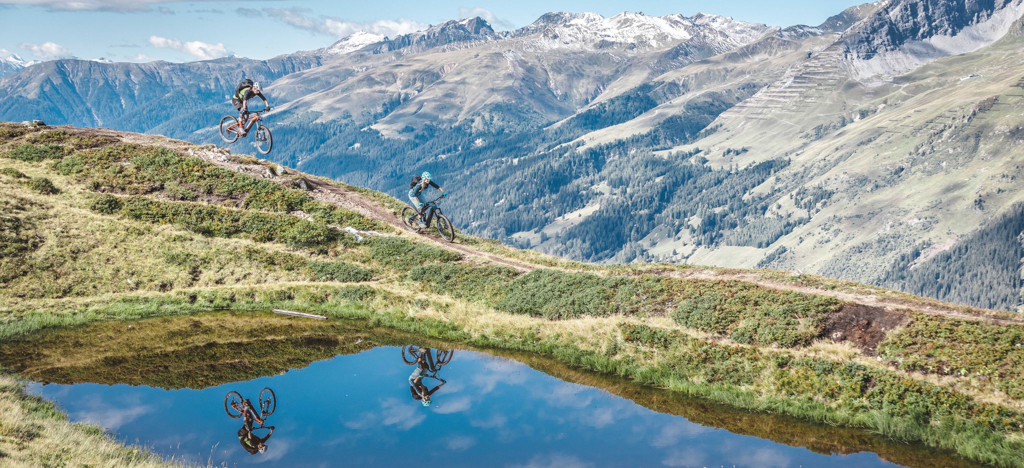
From hut to hut in the Alps with your E-bike
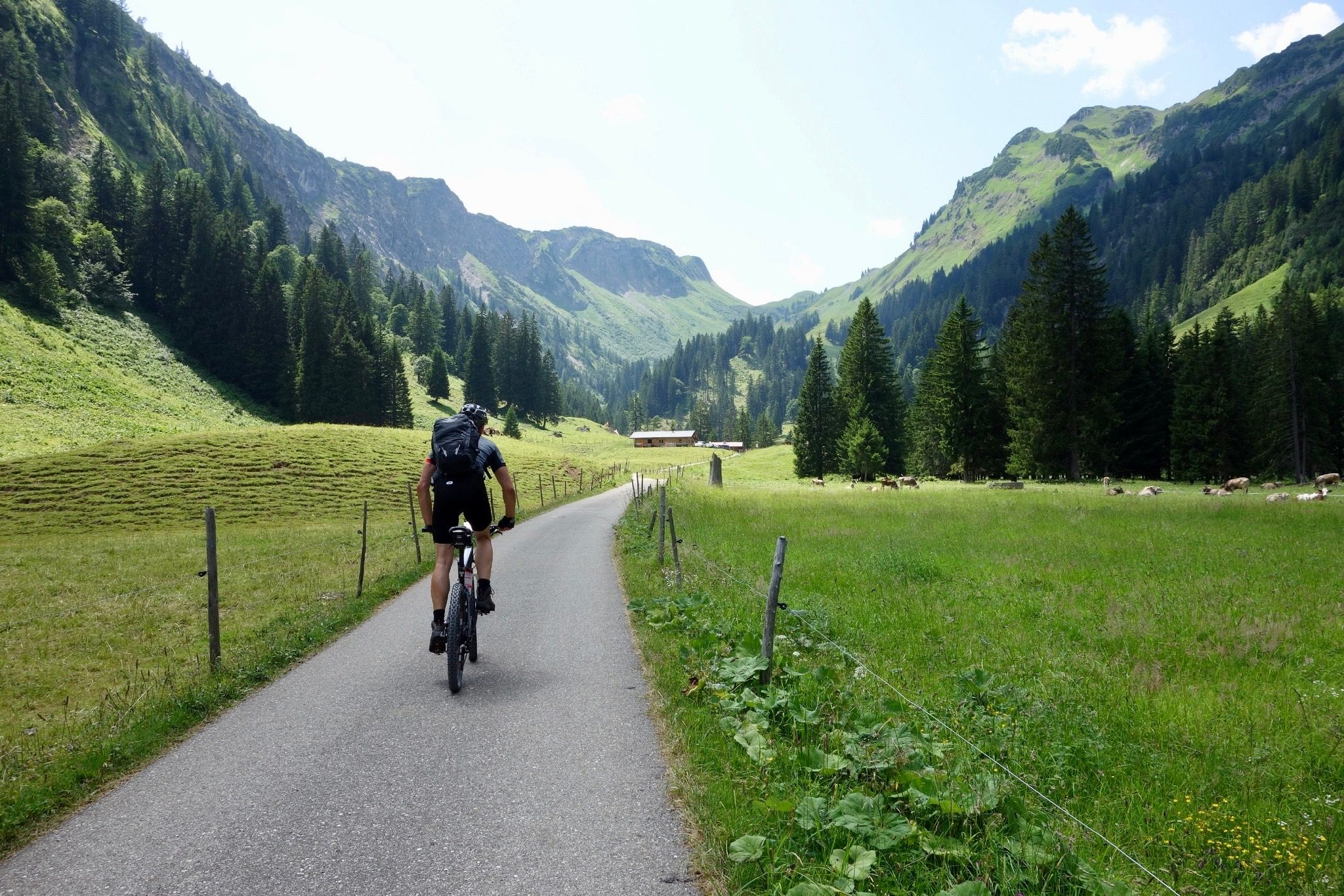
Heckmair Transalp – the original Alpine Crossing
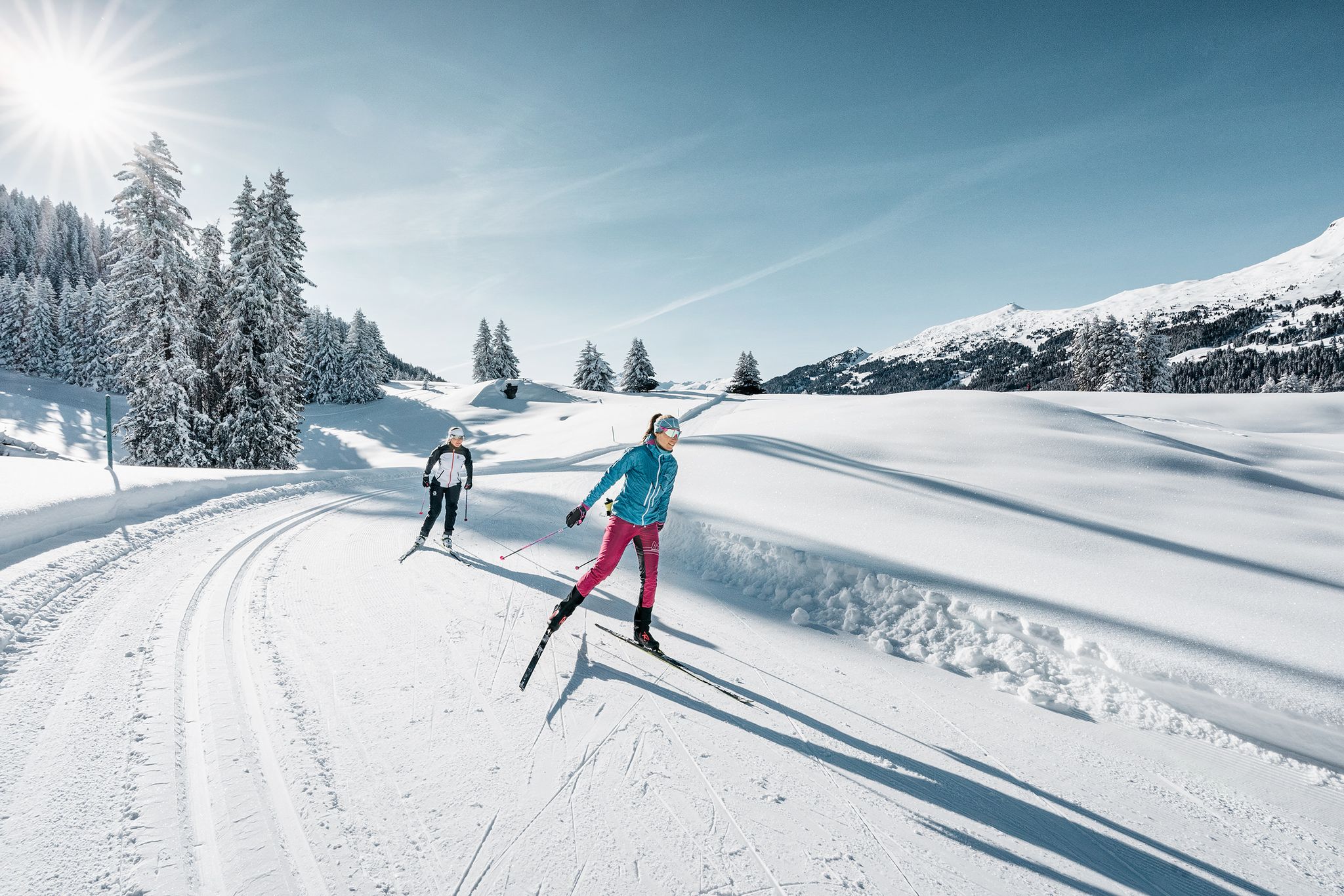
Cross-country skiing fever in the Graubünden region
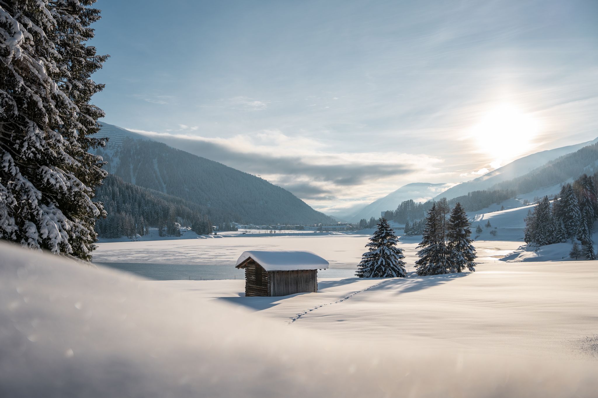
In the snow paradise – winter hiking in Davos Klosters
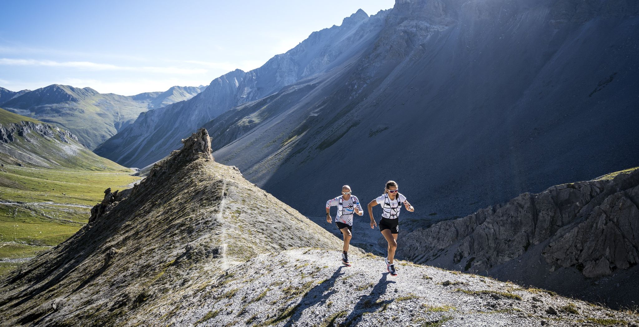
Through the Alps with beads of sweat and tears of joy – Davos X-Trails
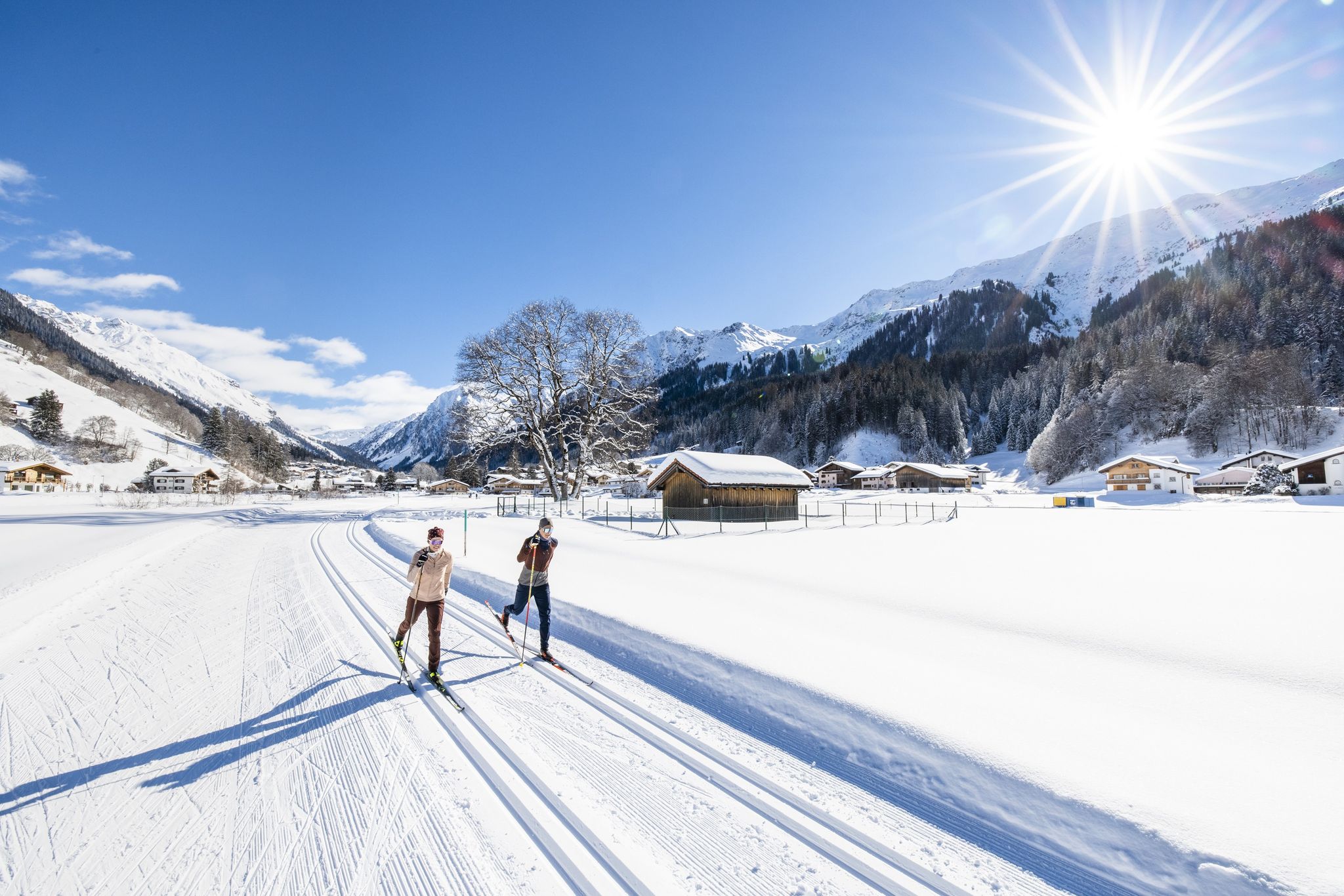
Cross-country skiing in Davos Klosters – dreamy trails and the Après Nordic experience
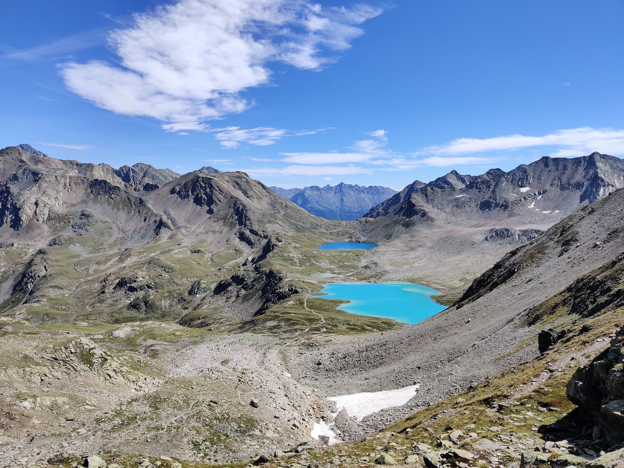
The most beautiful lake hikes in Switzerland’s Davos Klosters
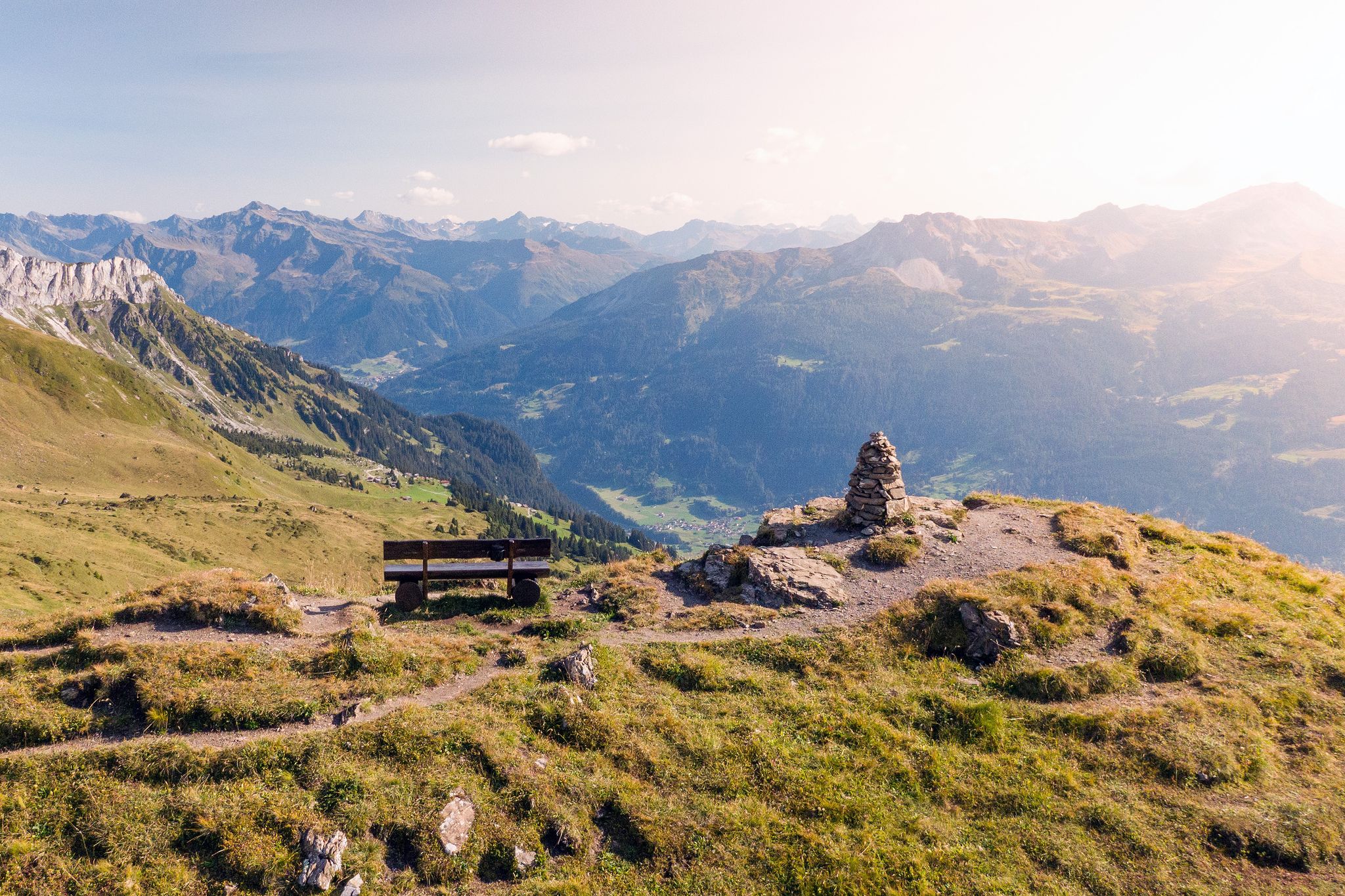
Long-distance hiking in the Grisons — 3 routes in Switzerland
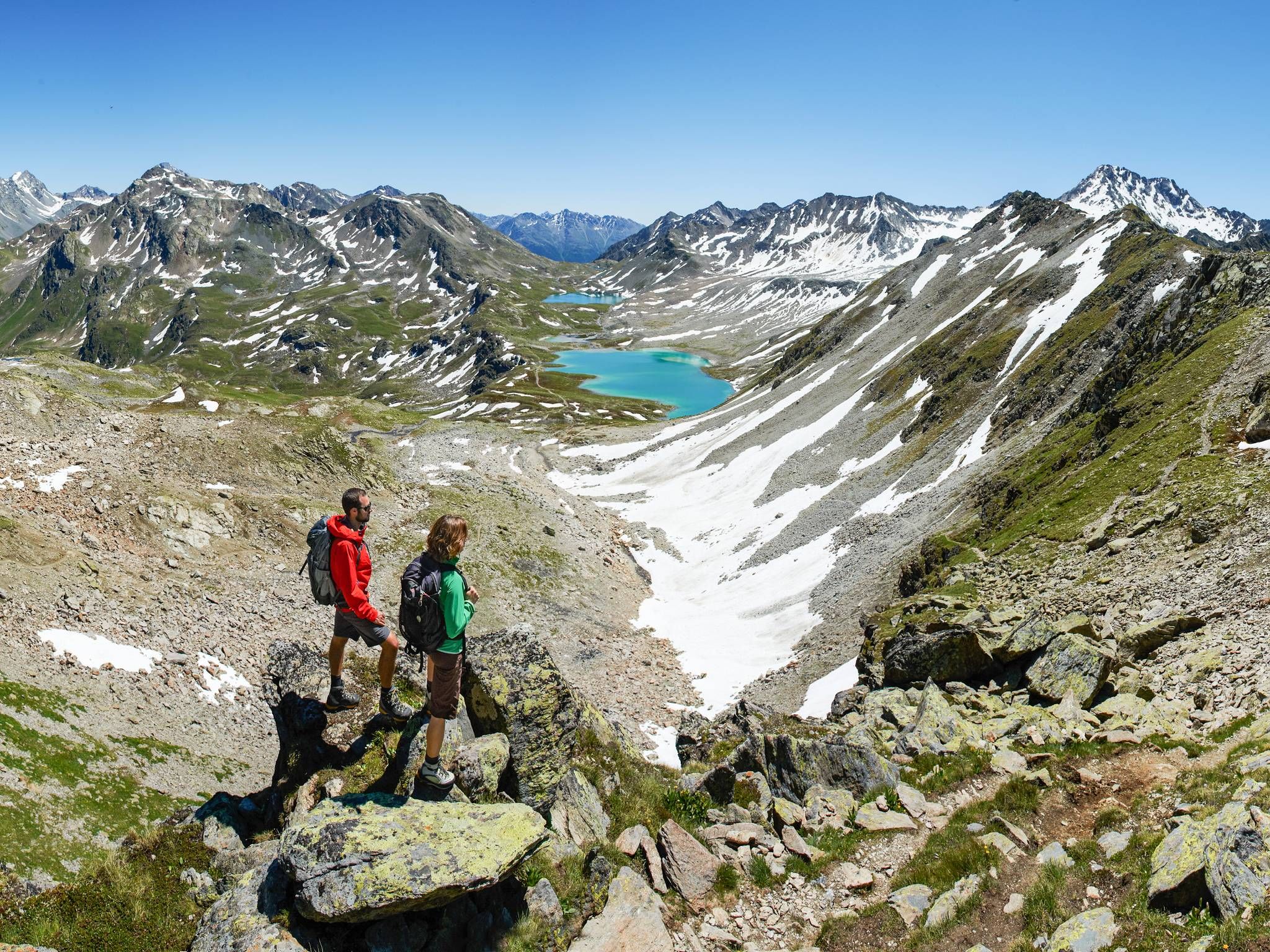
Beautiful hiking trails around Davos Klosters in Switzerland
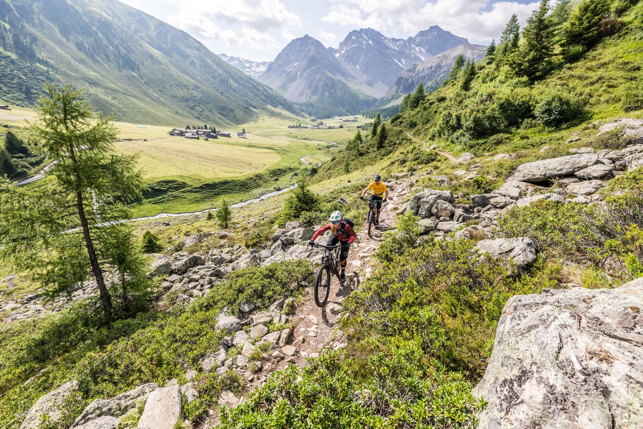
Davos Klosters — a singletrack paradise in the Alps
Other adventures around Klosters


Tips from the Community

pretty here, very pretty
3
0


Spectacular road cycling pass with many ever-changing views. Try to tackle the tour, if possible, on weekdays and shoulder days, like at the end of April, shortly after the pass's spring opening. Then there will be snow walls to the left and right, and when rolling into the valley, spring will come towards you! Brilliant
0
0

A 517km long river flowing through Switzerland, Austria, and Germany. Its source lies at 2564m above sea level above Lake Lunghin and it flows into the Danube near Passau.
0
0

Where does this stream flow? Across the Rhine to the North Sea? Across the Inn and Danube to the Black Sea? The water flows into the Black Sea.
3
0
Great trail to the Schwarzhorn or the Fuorcla Radönt.
3
0
Frequently Asked Questions
How many mountaineering routes can I explore around Klosters?
There are over 80 mountaineering routes available around Klosters, offering a wide range of experiences from moderate to very challenging ascents. The region is known for its diverse alpine environment, including numerous three-thousand-meter peaks.
What kind of difficulty levels can I expect for mountaineering routes in Klosters?
The mountaineering routes around Klosters cater to various skill levels. While the majority, about 65 routes, are classified as difficult, there are also 16 moderate options and at least one easy route. This ensures that both experienced mountaineers and those looking for a challenging introduction to the high Alps can find suitable tours.
Are there any circular mountaineering routes in the Klosters area?
Yes, many routes around Klosters are designed as loops, allowing you to start and finish at the same point. For example, the challenging Buin Pass – Piz Buin Summit loop from Wiesbadener Hütte is a popular choice, covering 10.6 km with significant elevation gain. Another option is the moderate Source of the Inn River – Flüela Schwarzhorn loop from Flüelapass.
What are some notable natural features or landmarks I might encounter on a mountaineering tour near Klosters?
Mountaineering routes around Klosters often lead through stunning natural landscapes. You might pass by the picturesque Jöri-Lake, or ascend to prominent summits like the Jakobshorn. The high-alpine region around the Silvretta glacier is also easily accessible, offering breathtaking scenery. For specific points of interest, consider visiting the Silvretta Reservoir Dam or reaching the Jakobshorn Summit for expansive views.
Are there mountain huts available for multi-day mountaineering trips in the region?
Absolutely. The Klosters region is well-equipped with mountain huts that serve as excellent bases for multi-day tours or as rest stops. Notable huts include the Wiesbadener Hut, Saarbrücker Hut, and Jamtalhütte. These provide accommodation and refreshments, allowing you to extend your mountaineering adventures.
What is the best time of year for mountaineering in Klosters?
The best time for mountaineering in Klosters is typically during the summer months, from late June to September, when the high-alpine trails are generally free of snow and weather conditions are more stable. However, some routes, especially those at lower altitudes, can be enjoyed earlier or later in the season. Always check current weather and trail conditions before heading out.
Are there any family-friendly mountaineering options around Klosters?
While many mountaineering routes in Klosters are challenging, there are also easier options suitable for families with older children or those looking for less strenuous alpine experiences. The region offers over 700 kilometers of marked trails, ranging from leisurely walks to demanding mountain treks. It's advisable to check the specific difficulty and elevation gain of a route, such as the one easy route available, to ensure it matches your family's capabilities.
Can I bring my dog on mountaineering routes in Klosters?
Many trails in the Klosters region are dog-friendly, allowing you to enjoy the alpine environment with your canine companion. However, it's always recommended to check local regulations and trail specific rules, especially in nature reserves or areas with livestock. Ensure your dog is well-behaved, on a leash where required, and capable of handling the terrain and duration of the chosen mountaineering route.
How accessible are the mountaineering routes by public transport in Klosters?
Klosters benefits from good infrastructure, making many mountaineering routes accessible via public transport. The village itself is well-connected, and mountain railways like the Gotschnabahn can transport visitors to higher altitudes, providing convenient starting points for various tours. It's best to research specific route access points and local bus or train schedules for detailed planning.
What do other mountaineers appreciate most about the routes in Klosters?
The mountaineering routes in Klosters are highly rated by the komoot community, with an average score of 4.8 stars from over 300 reviews. Reviewers often praise the diverse and challenging alpine environment, the breathtaking views of the Swiss Alps, and the well-maintained trails that lead through pristine valleys and high-alpine landscapes. The presence of three-thousand-meter peaks and glaciers is also a significant draw.
Are there any moderate mountaineering routes that offer a good challenge without being overly difficult?
Yes, Klosters offers a selection of moderate mountaineering routes that provide a rewarding challenge. An example is the Source of the Inn River – Flüela Schwarzhorn loop from Flüelapass, which covers about 9.3 km with significant elevation gain, offering a great experience for those seeking a step up from easy hikes without the extreme demands of difficult alpine routes.
Where can I find parking for mountaineering routes around Klosters?
Parking facilities are generally available at key access points and trailheads around Klosters, especially near popular starting locations or mountain railway stations. For routes originating from specific areas like Flüelapass or near mountain huts, designated parking areas are often provided. It's advisable to check the specific starting point of your chosen route for detailed parking information.
Most popular routes around Klosters
Most popular attractions around Klosters

Get inspired with the komoot mobile app


Explore more
Browse the best Mountain Hikes & Routes in other regions.
