The best walks and hikes around Alto Malcantone
4.7
(276)
1,665
hikers
44
hikes
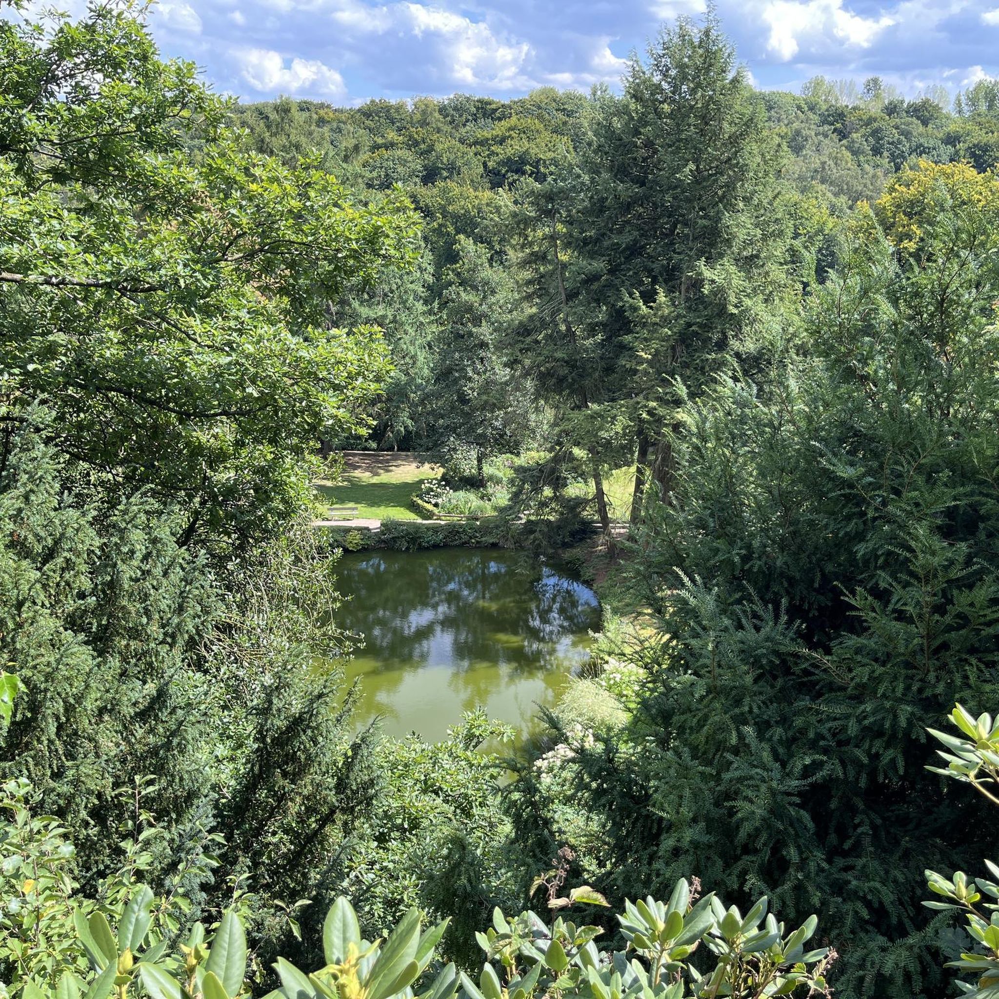
Hiking around Alto Malcantone offers diverse landscapes characterized by extensive chestnut groves, dense forests, and rolling hills. The region features significant natural elements including mountainous terrain with panoramic views and protected nature reserves. Numerous rivers and water features are also present, providing varied scenery for outdoor activities.
Best hiking trails around Alto Malcantone
- The most popular hiking route is The chestnut trail – loop tour, a 9.6 miles (15.5 km) trail that takes 4 hours 38 minutes to complete. This route explores the cultural landscape shaped by chestnut cultivation.
- Another top favourite among local hikers is Sentiero degli alpeggi – loop hike, a difficult 11.2 miles (18.0 km) path. This trail offers views of alpine pastures and takes approximately 6 hours 32 minutes.
- Local hikers also love the Grotto Sgambada – Agra Pond Nature Reserve loop from Alto Malcantone, a 4.2 miles (6.7 km) trail leading through the Agra Pond Nature Reserve, often completed in about 1 hour 57 minutes.
- Hiking around Alto Malcantone is defined by extensive chestnut groves, dense forests, and mountainous terrain with panoramic viewpoints. The network offers options for various ability levels, from easy walks to more challenging climbs.
- The routes in Alto Malcantone are highly rated by the komoot community with an average score of 4.7 stars from over 250 reviews. More than 1700 hikers have used komoot to explore Alto Malcantone's varied terrain.
Last updated: June 23, 2026
4.6
(52)
258
hikers
15.5km
04:38
490m
500m
Hike the moderate 9.6-mile Chestnut Trail loop, gaining 1607 feet in elevation, with scenic views and historic stone houses.
4.7
(3)
28
hikers
18.0km
06:32
910m
910m
Hard hike. Very good fitness required. Sure-footedness, sturdy shoes and alpine experience required.

Sign up for free
4.7
(43)
167
hikers
6.70km
01:57
190m
190m
Easy hike. Great for any fitness level. Easily-accessible paths. Suitable for all skill levels.
4.6
(19)
67
hikers
Moderate hike. Good fitness required. Easily-accessible paths. Suitable for all skill levels.
4.8
(11)
76
hikers
13.3km
05:56
940m
930m
Hard hike. Very good fitness required. Mostly accessible paths. Sure-footedness required.
Get access to more routes and recommendations from other explorers.
Sign up for free
Already have an account?
Our route recommendations are based on thousands of hikes, rides, and runs completed by other people on komoot.
Start today with a free account
Your next adventure awaits.
Login or Signup

Tips from the Community

scenically very great tour. Top Top Top
0
0
scenically very great tour. Top Top Top
0
0

Always a beautiful destination for those starting from the valley or from Arosio.
0
0


It's definitely tiring but the view makes up for the effort, if you want there's a cable car from Miglieglia😁
0
0
very pretty here, very pretty
0
0

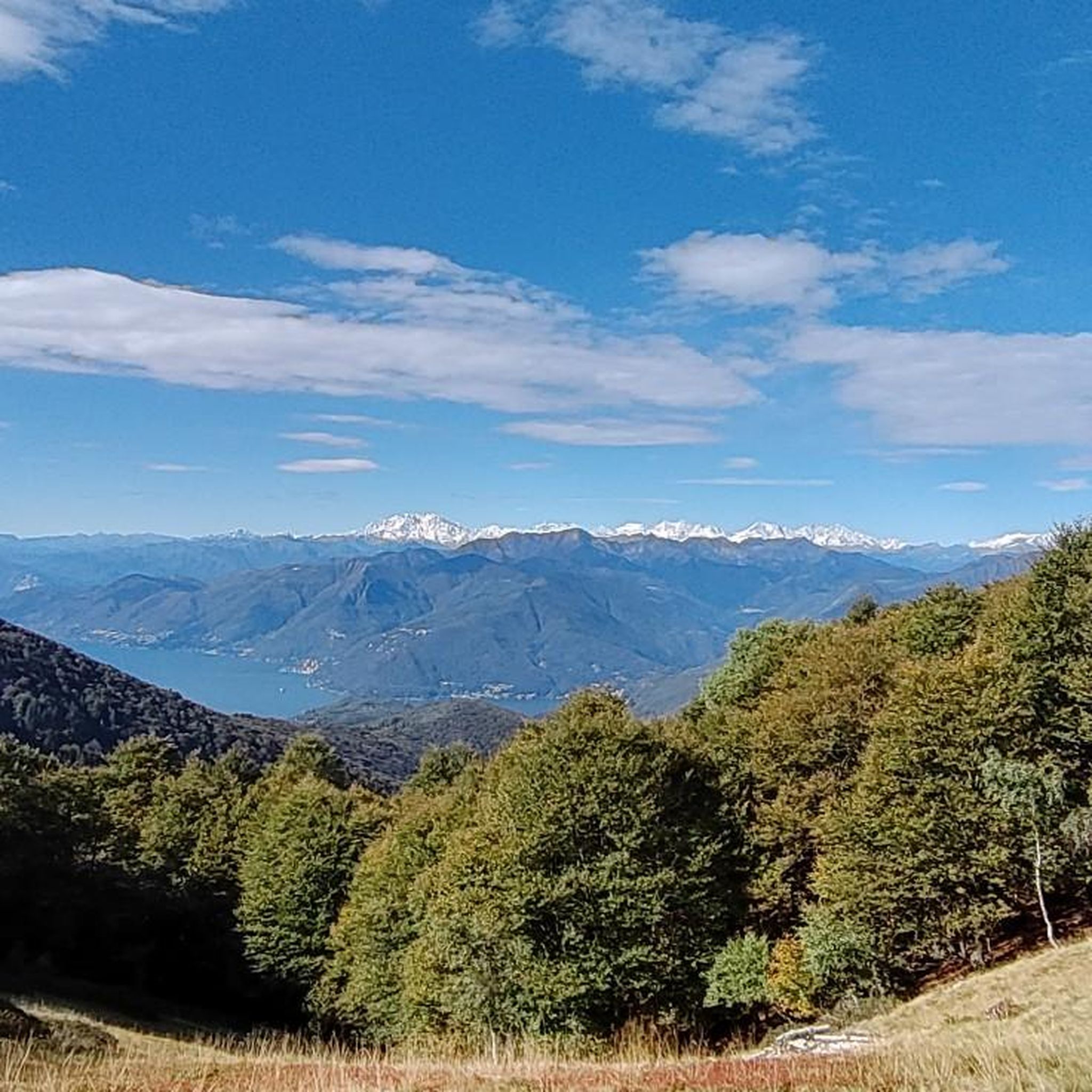
From this location in Cademario you will enjoy spectacular views of the surrounding area, including Lake Lugano and the Swiss Alps.
0
0

Comfortable location. Prices a bit overpriced.
1
0
Frequently Asked Questions
How many hiking trails are available in Alto Malcantone?
Alto Malcantone offers a wide variety of hiking experiences, with over 45 trails available. These range from easy walks to more challenging climbs, catering to different fitness levels.
What kind of landscapes can I expect to see while hiking in Alto Malcantone?
Hikers in Alto Malcantone will discover diverse landscapes, including extensive chestnut groves, dense forests of beech and birch, and rolling hills. The region also features mountainous terrain with spectacular panoramic views and picturesque water features, such as the bathing spots along idyllic trails.
Are there any notable viewpoints or panoramic spots along the trails?
Yes, Alto Malcantone is known for its stunning panoramic views. You can find breathtaking vistas from peaks like Monte Tamaro and Monte Lema. Even at lower altitudes, the Cima di Medeglia Summit Cross offers an overwhelming panorama, and the Croce Alpe Agra Viewpoint provides scenic vistas of the surrounding area and Lake Lugano.
What cultural or historical sites can I explore while hiking in Alto Malcantone?
The region is rich in cultural heritage. You can explore charming historic villages like Arosio, Breno, and Vezio, each with well-preserved rural architecture and historic churches. The Chestnut Trail specifically highlights the historical importance of chestnut cultivation in the area.
Are there any easy or family-friendly hiking options in Alto Malcantone?
Yes, Alto Malcantone offers several easy trails suitable for families or those seeking a more relaxed walk. A great option is the Grotto Sgambada – Agra Pond Nature Reserve loop, which is 4.2 miles (6.7 km) long and takes about 2 hours to complete, leading through a protected nature reserve.
Are there any circular hiking routes available?
Many trails in Alto Malcantone are designed as circular routes, allowing you to start and end at the same point. A popular example is The chestnut trail – loop tour, which is 9.6 miles (15.5 km) long and explores the cultural landscape.
What is the best time of year to go hiking in Alto Malcantone?
The region is beautiful throughout the warmer months. Autumn is particularly enchanting due to the chestnut harvest, offering a unique cultural experience amidst vibrant fall colors. Spring and summer also provide pleasant conditions for hiking through the lush forests and enjoying the panoramic views.
Are there any trails that feature water elements or bathing spots?
Yes, Alto Malcantone boasts an abundance of waters. You can find picturesque bathing spots along idyllic hiking trails, such as the 'pozzone' near Maglio, which is ideal for swimming and picnics during your hike.
What do other hikers enjoy the most about hiking in Alto Malcantone?
The area is highly rated by the komoot community, with an average score of 4.7 stars from over 250 reviews. Reviewers often praise the diverse landscapes, from extensive chestnut groves to stunning panoramic viewpoints, and the well-maintained network of trails that cater to various ability levels.
Is there public transport access to the hiking trailheads in Alto Malcantone?
Alto Malcantone is generally well-connected within the Ticino region. While specific routes vary, many villages that serve as trailheads, such as Arosio, Breno, and Vezio, are accessible by local bus services, allowing for convenient access to the hiking network.
Are there places to eat or drink near the hiking trails?
Yes, the region's deep chestnut traditions are celebrated in local cuisine. You'll find traditional grottos and restaurants, especially in autumn, serving chestnut-inspired dishes and other local specialties, often conveniently located in the charming villages along the hiking routes.
Are there any protected natural areas to explore?
Yes, the Alpe Agra Nature Reserve is a significant protected area located near Cademario. It features several ponds that are crucial reproduction sites for amphibians, dragonflies, and other aquatic insects, surrounded by mixed deciduous forests and pastures. You can explore this area on trails like the Grotto Sgambada – Agra Pond Nature Reserve loop.
Most popular routes around Alto Malcantone
Most popular attractions around Alto Malcantone

Get inspired with the komoot mobile app


Explore more
Browse the best Hikes in other regions.
