The best mountain hikes around Zicavo
4.9
(34)
238
hikers
9
hikes
Mountaineering routes around Zicavo, located on the island of Corsica, France, traverse a rugged and diverse landscape. The region is characterized by significant mountain ranges, high-altitude plateaus, and striking rocky spires, with elevations ranging up to 2134 meters. This terrain provides a challenging environment for mountaineering, featuring steep ascents and varied geological formations.
Best mountaineering routes around Zicavo
- The most popular mountaineering route is Secured Climbing Passage – Iron Chain Climbing Route loop from Col de Bavella, a 7.1 miles (11.5 km) trail that takes 5 hours 31 minutes to complete. This difficult route features a secured climbing passage near the dramatic Aiguilles de Bavella.
- Another top favourite among local mountaineers is Bavella Pass – loop from Col de Bavella, a difficult 4.1 miles (6.6 km) path. This route offers views of the iconic Bavella Needles and surrounding mountain scenery.
- Local mountaineers also love the Refuge de Paliri – Foce Finosa (1206 m) loop from Col de Bavella, a 6.2 miles (10.0 km) trail leading through mountain passes and towards a refuge, often completed in about 4 hours 18 minutes.
- Mountaineering around Zicavo is defined by rocky spires, high-altitude plateaus, and prominent mountain peaks. The network offers options for both moderate and difficult ability levels.
- The routes in Zicavo are highly rated by the komoot community with an average score of 4.9 stars from over 30 reviews. More than 200 mountaineers have used komoot to explore Zicavo's varied terrain.
Last updated: May 16, 2026
4.9
(18)
113
hikers
11.5km
05:31
710m
710m
Hard mountaineering route. Very good fitness required. Sure-footedness, sturdy shoes and alpine experience required.
4.6
(9)
58
hikers
6.71km
02:18
250m
250m
Hard mountaineering route. Good fitness required. Sure-footedness, sturdy shoes and alpine experience required.

Sign up for free
5.0
(1)
18
hikers
9.91km
04:17
550m
540m
Moderate mountaineering route. Good fitness required. Mostly accessible paths. Sure-footedness required.
5.0
(1)
19
hikers
Hard mountaineering route. Great for any fitness level. Sure-footedness, sturdy shoes and alpine experience required.
5.0
(2)
11
hikers
Hard mountaineering route. Good fitness required. Sure-footedness, sturdy shoes and alpine experience required.
Get access to more routes and recommendations from other explorers.
Sign up for free
Already have an account?
Our route recommendations are based on thousands of hikes, rides, and runs completed by other people on komoot.
Start today with a free account
Your next adventure awaits.
Login or Signup
Popular around Zicavo
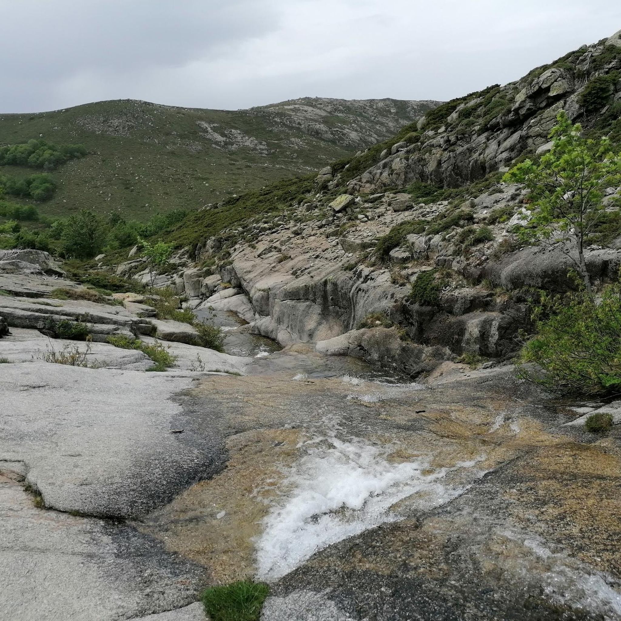
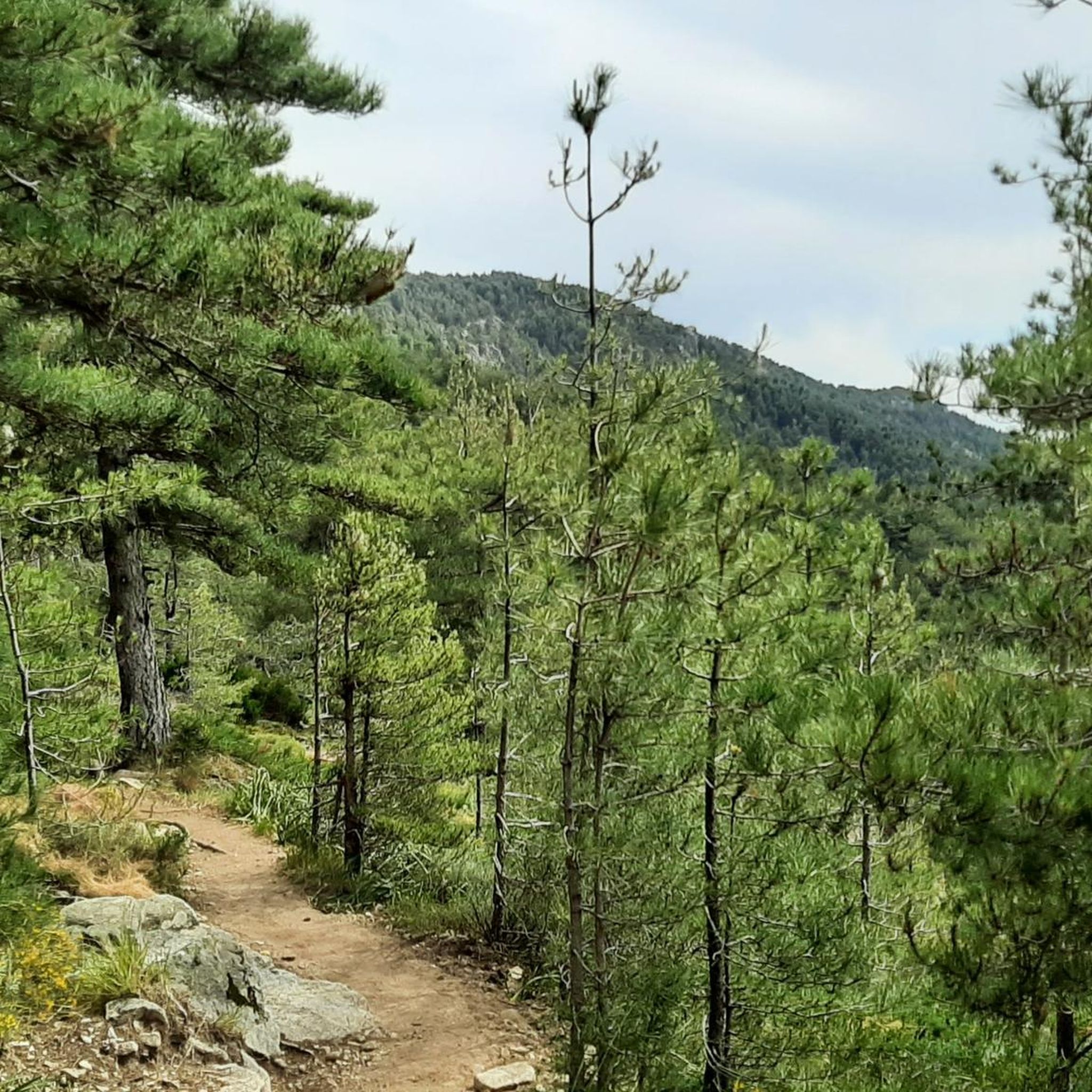
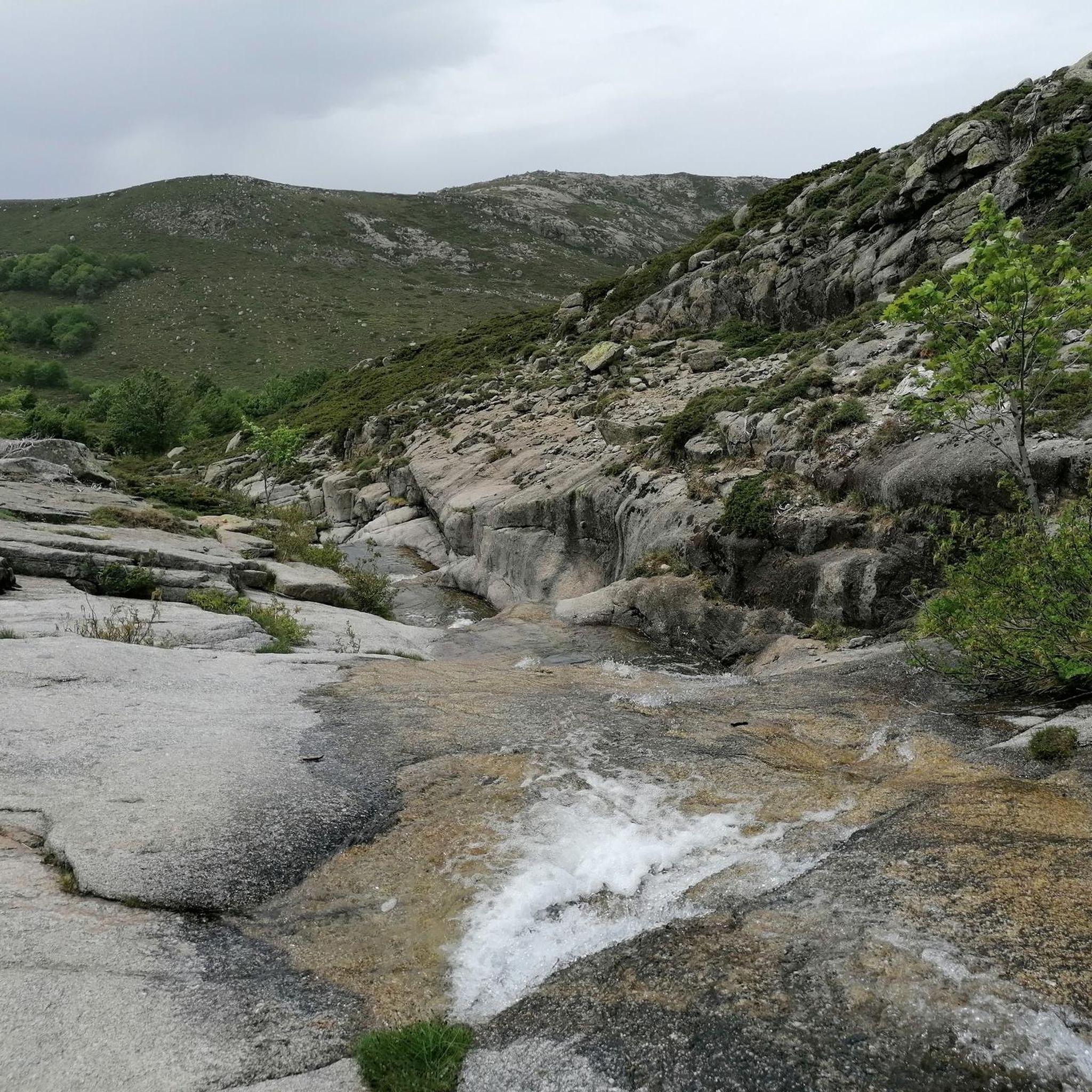
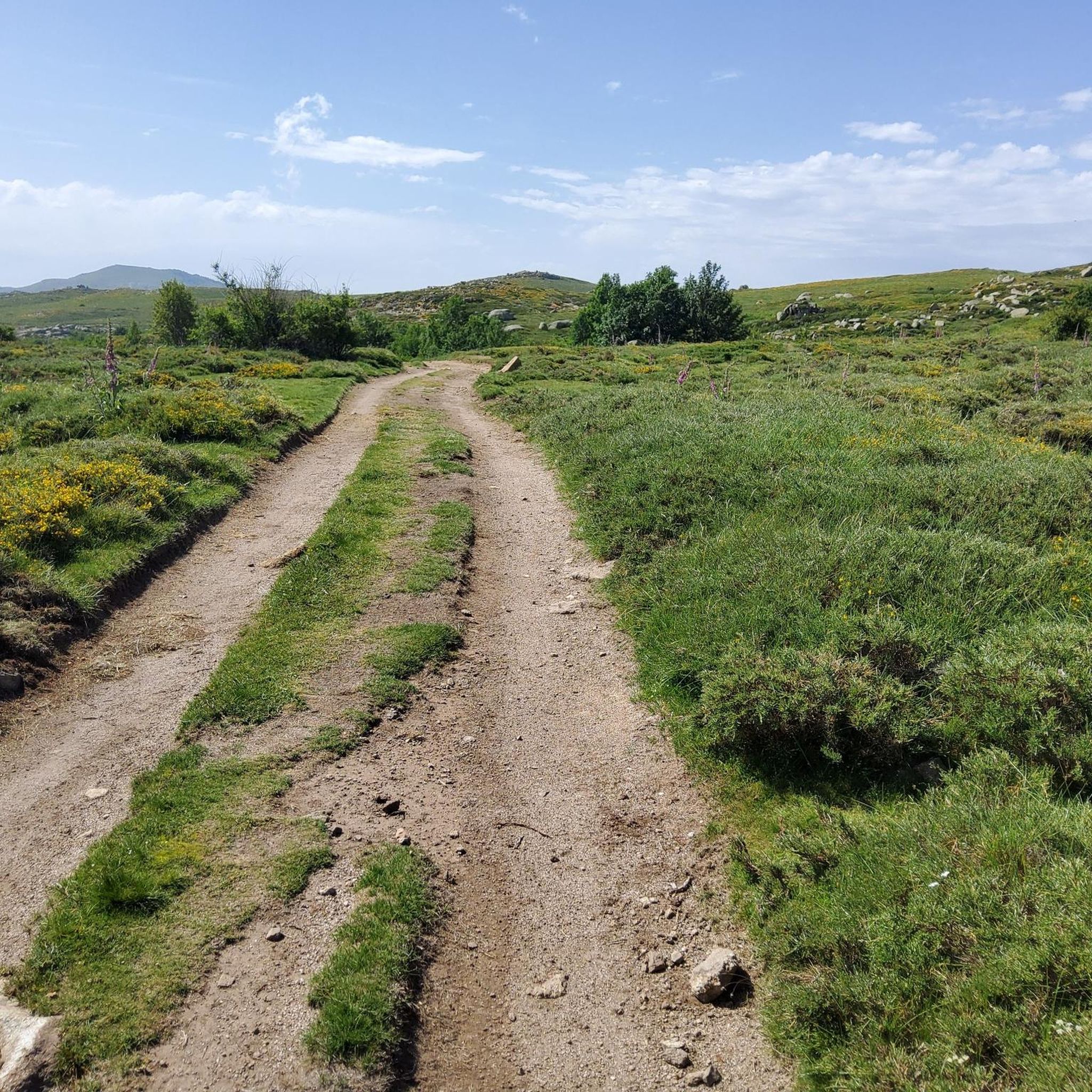


Tips from the Community

The cheese tastes super delicious here 😋 If you ask nicely, you can get a private tour of the cheese dairy. There is a drinking water source. Since it was already late, we were allowed to pitch our tents nearby, sheltered from the wind (see photo of tent in the cave)
0
0


Most exiting point of the GR20-South due to various chains at steep slopes
0
0
Beautiful view. Great scenery.
0
0

very pretty here, very pretty
0
0
very pretty here, very pretty
2
1
very pretty here, very pretty
2
1
Frequently Asked Questions
How many mountaineering routes are available around Zicavo?
There are nearly 10 distinct mountaineering routes around Zicavo, offering a range of experiences across its rugged terrain. These routes are highly rated by the komoot community, with an average score of 4.9 stars.
What kind of terrain can I expect on mountaineering routes in Zicavo?
Zicavo's mountaineering routes traverse a diverse and rugged landscape, characterized by significant mountain ranges, high-altitude plateaus like the Cuscionu Plateau, and striking rocky spires such as the Aiguilles de Bavella. You can expect challenging ascents and varied geological formations, with elevations reaching up to 2134 meters.
Are there any moderate mountaineering routes for those with less experience?
Yes, while many routes are challenging, there are options for moderate ability levels. For example, the Refuge de Paliri – Foce Finosa (1206 m) loop from Col de Bavella is a moderate 6.2-mile (10.0 km) trail that takes about 4 hours 18 minutes to complete, leading through mountain passes towards a refuge.
Which routes offer the most dramatic views of the Aiguilles de Bavella?
The Aiguilles de Bavella are a highlight of the region. The Secured Climbing Passage – Iron Chain Climbing Route loop from Col de Bavella offers spectacular views near these dramatic spires. Another excellent option is the Bavella Pass – loop from Col de Bavella, which also provides iconic vistas of the Bavella Needles and surrounding mountains.
Are there any circular mountaineering routes in the Zicavo area?
Yes, several routes are designed as loops. The Secured Climbing Passage – Iron Chain Climbing Route loop from Col de Bavella and the Bavella Pass – loop from Col de Bavella are both popular circular options starting from Col de Bavella. Additionally, the Refuge de Paliri – Foce Finosa (1206 m) loop from Col de Bavella also offers a circular experience.
What unique natural features can I discover on these routes?
Beyond the dramatic Aiguilles de Bavella, you can explore the Cuscionu Plateau, known for its 'pozzines' (peat bogs) and sparkling water holes. Some routes, like the Les Pozzi de Bastelica – Pozzi Seen loop from Réserve biologique intégrale de Punteniellu, specifically highlight these unique geological formations. The region also features prominent peaks like Mount Incudine.
Are there any waterfalls or natural pools accessible from the mountaineering routes?
Yes, the Zicavo area is home to beautiful waterfalls and natural pools. The Purcaraccia Pools – View of the Purcaraccia Valley loop from Bocca di Larone specifically leads to the stunning Purcaraccia Pools. Other notable waterfalls in the vicinity include Buja waterfall and Polischellu Waterfalls.
Can I find refuges or huts along the mountaineering trails in Zicavo?
Yes, the region offers several refuges that can serve as rest points or overnight stops, especially for those tackling longer routes or sections of the GR20. Notable refuges include I Paliri refuge and Usciolu Refuge. The Refuge de Paliri – Foce Finosa (1206 m) loop from Col de Bavella specifically leads towards a refuge.
What is the best time of year for mountaineering in Zicavo?
The best time for mountaineering in Zicavo is generally from late spring to early autumn (May to October). During these months, the weather is more stable, and trails are typically free of snow, making for safer and more enjoyable conditions. However, always check local weather forecasts before heading out, as mountain conditions can change rapidly.
What makes Zicavo a unique destination for mountaineering?
Zicavo's unique appeal lies in its dramatic Corsican landscape, featuring the iconic Aiguilles de Bavella, the high-altitude Cuscionu Plateau with its 'pozzines,' and its position within the region traversed by the challenging GR20 trail. The combination of stunning vistas, diverse terrain, and opportunities for both strenuous hikes and rock climbing makes it a prime destination for outdoor enthusiasts.
Most popular attractions around Zicavo

Get inspired with the komoot mobile app


Explore more
Browse the best Mountain Hikes & Routes in other regions.
