The best mountain hikes around La Punt-Chamues-ch
5.0
(50)
551
hikers
41
hikes
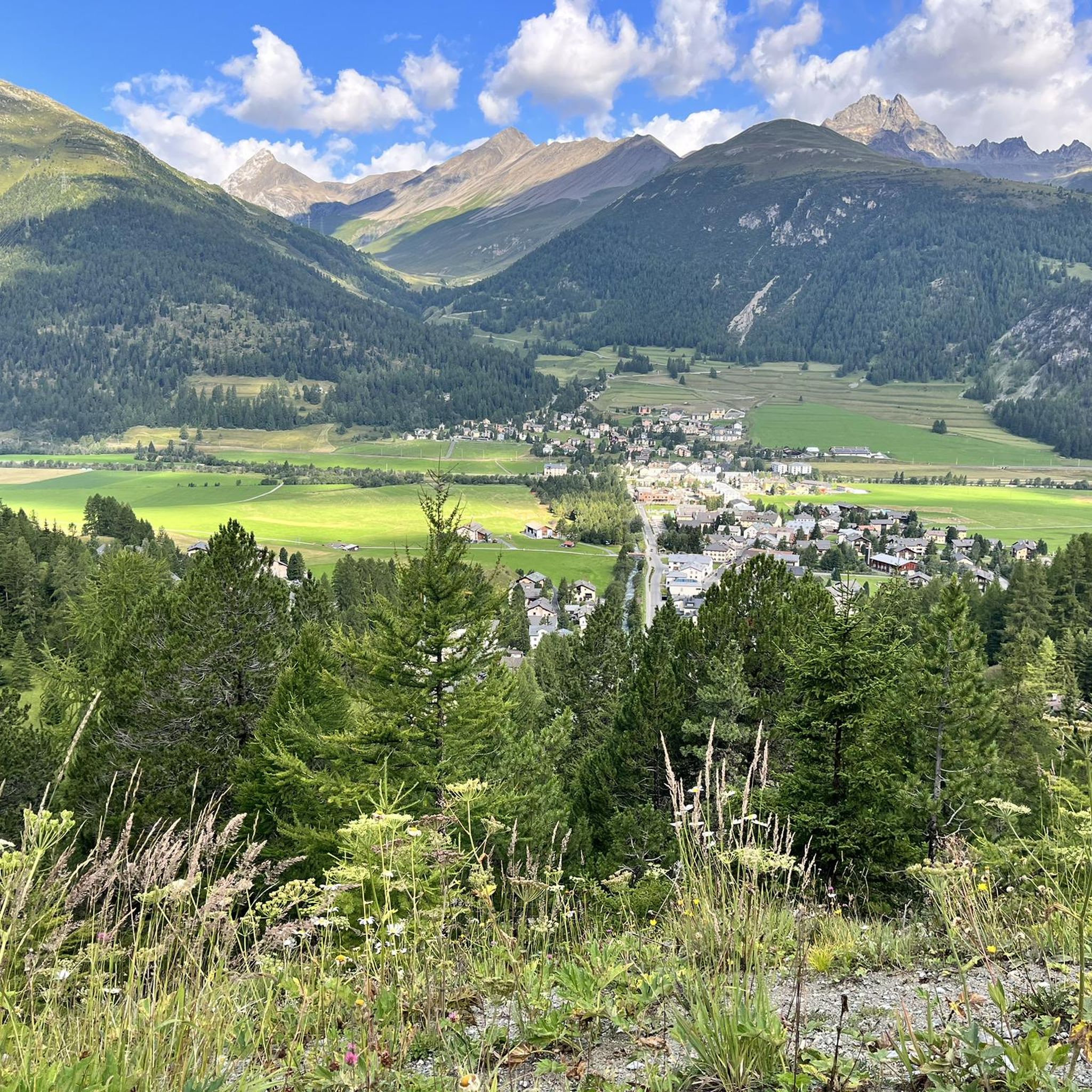
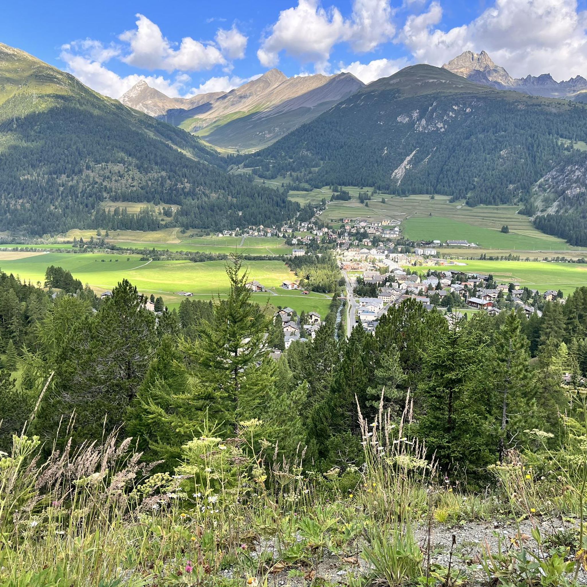
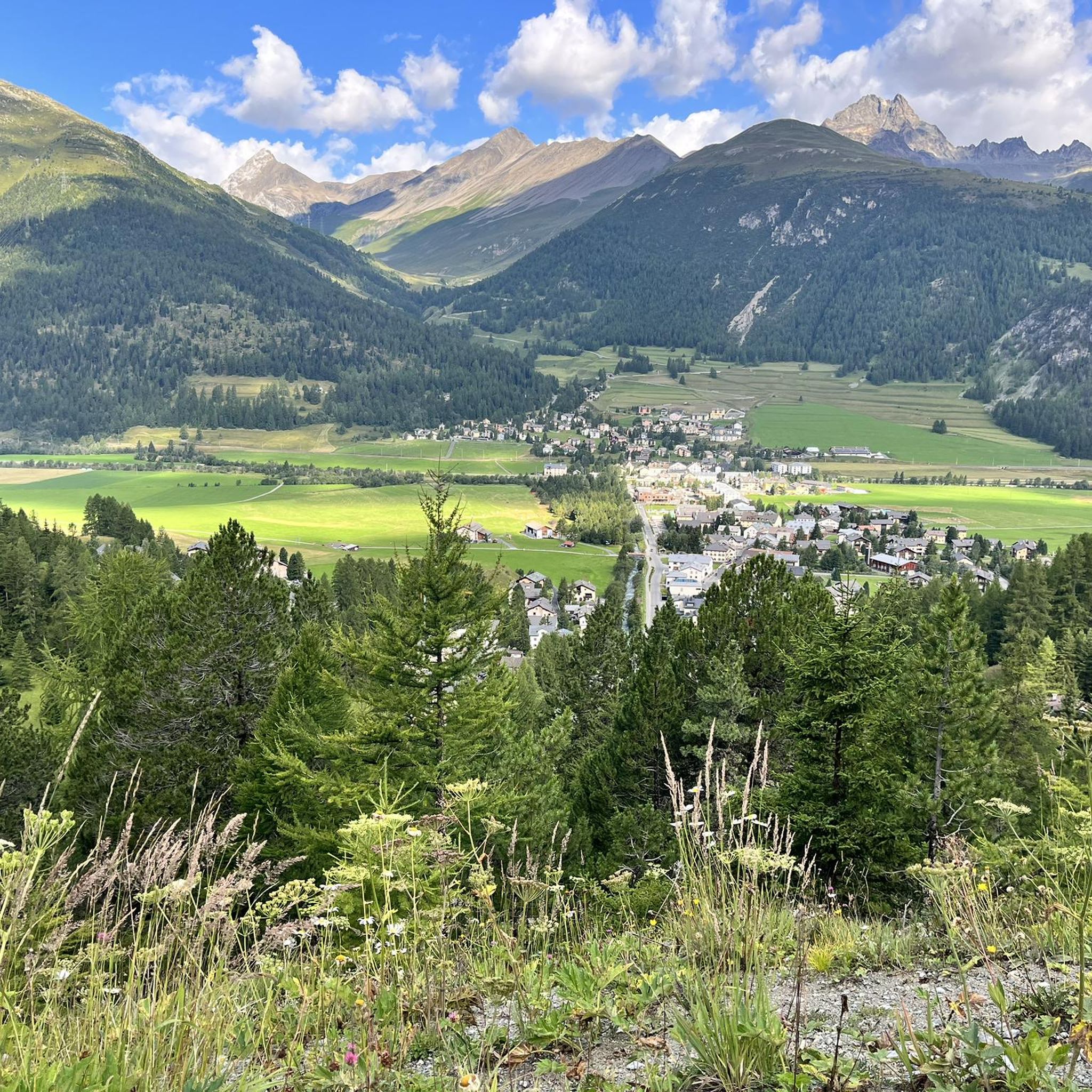
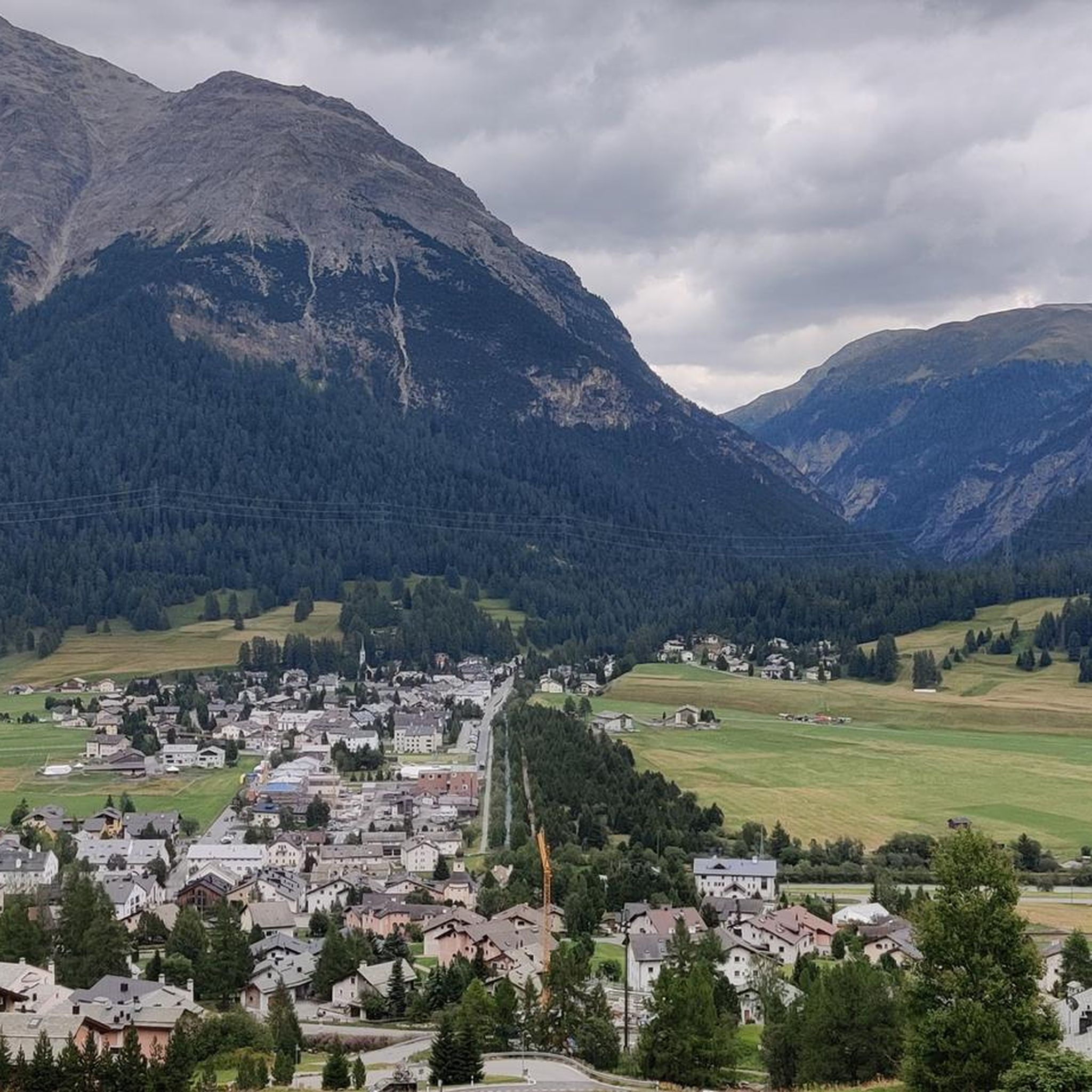
Mountaineering routes around La Punt-Chamues-ch are situated in the Engadin valley, at the foot of the Albula Pass in Switzerland. The region is characterized by wild peaks, including Piz Languard and Piz Blaisun, and features the deep gorges and untouched nature of Val Chamuera. Pine, larch, and spruce forests cover the lower slopes, while the Inn river flows through blooming meadows in the valley floor. This diverse terrain provides a challenging and rewarding environment for mountaineers.
Best mountaineering routes around…
Last updated: July 7, 2026
5.0
(2)
35
hikers
4.38km
02:25
320m
320m
Hard mountaineering route. Good fitness required. Sure-footedness, sturdy shoes and alpine experience required.
5.0
(1)
26
hikers
14.7km
07:34
1,350m
1,350m
Hard mountaineering route. Very good fitness required. Sure-footedness, sturdy shoes and alpine experience required.

Sign up for free
5.0
(2)
31
hikers
5.82km
03:20
490m
490m
Hard mountaineering route. Good fitness required. Sure-footedness, sturdy shoes and alpine experience required.
5.0
(2)
27
hikers
7.93km
04:42
860m
860m
Hard mountaineering route. Good fitness required. Sure-footedness, sturdy shoes and alpine experience required.
20
hikers
16.1km
07:28
1,400m
1,400m
Hard mountaineering route. Very good fitness required. Sure-footedness, sturdy shoes and alpine experience required.
Get access to more routes and recommendations from other explorers.
Sign up for free
Already have an account?
Our route recommendations are based on thousands of hikes, rides, and runs completed by other people on komoot.
Start today with a free account
Your next adventure awaits.
Login or Signup
Popular around La Punt-Chamues-ch
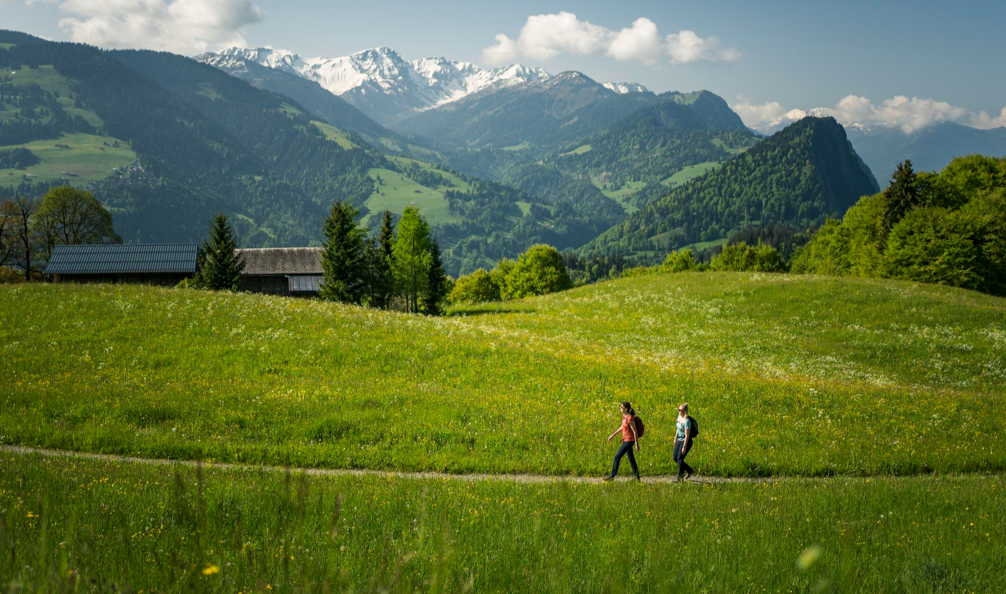
Hiking with respect and tolerance – it just makes sense!
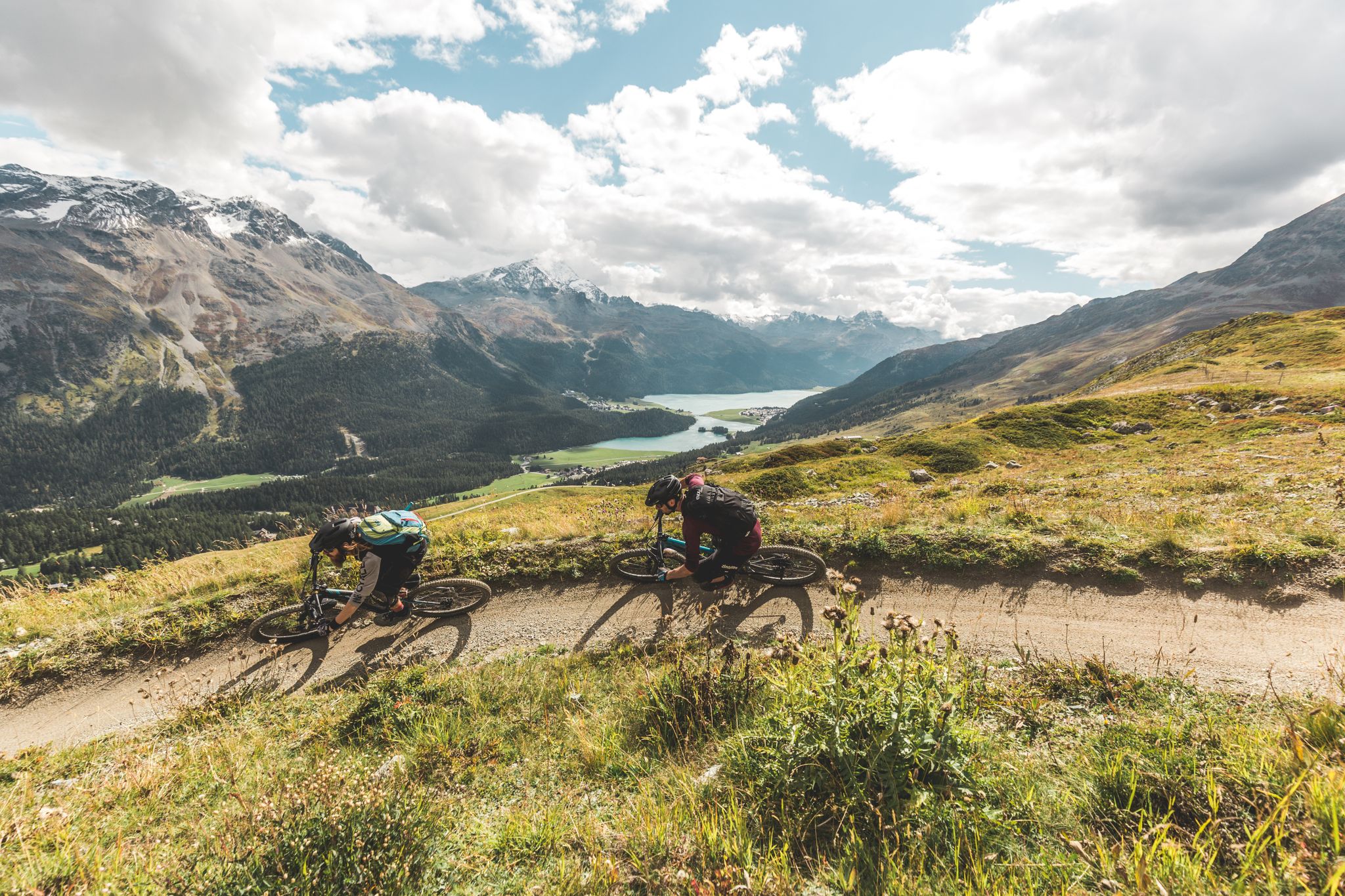
Go with the flow — bike trails in Switzerland’s Engadin valley
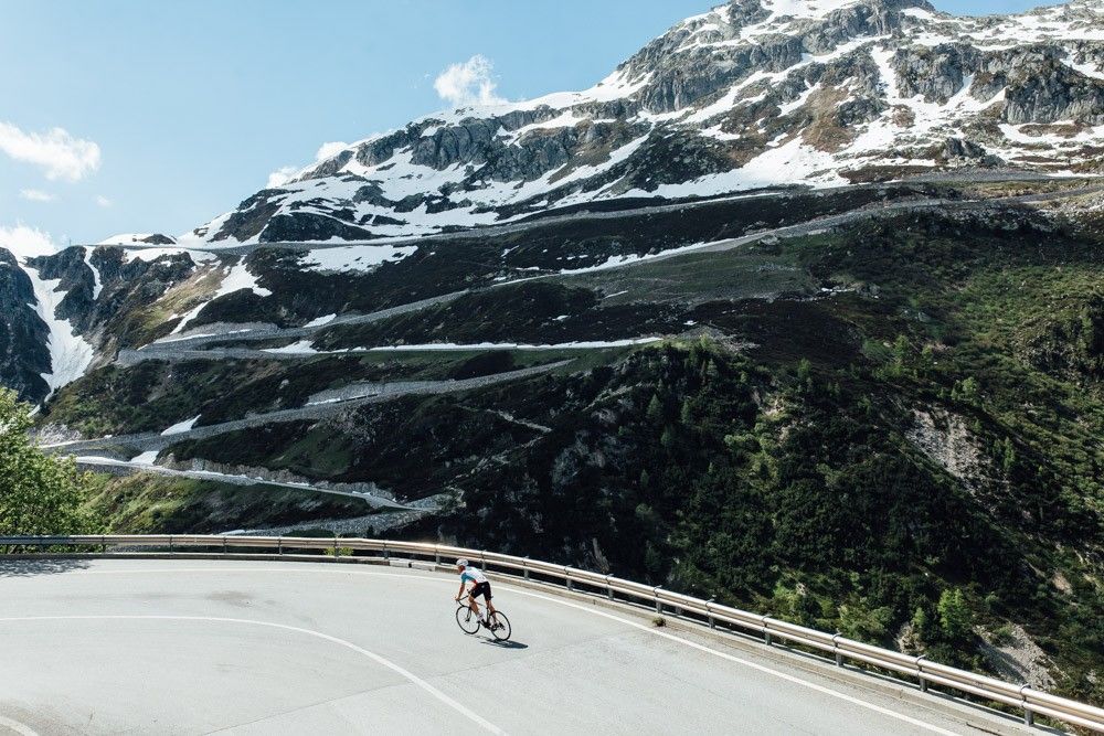
Off to the clouds on slick asphalt
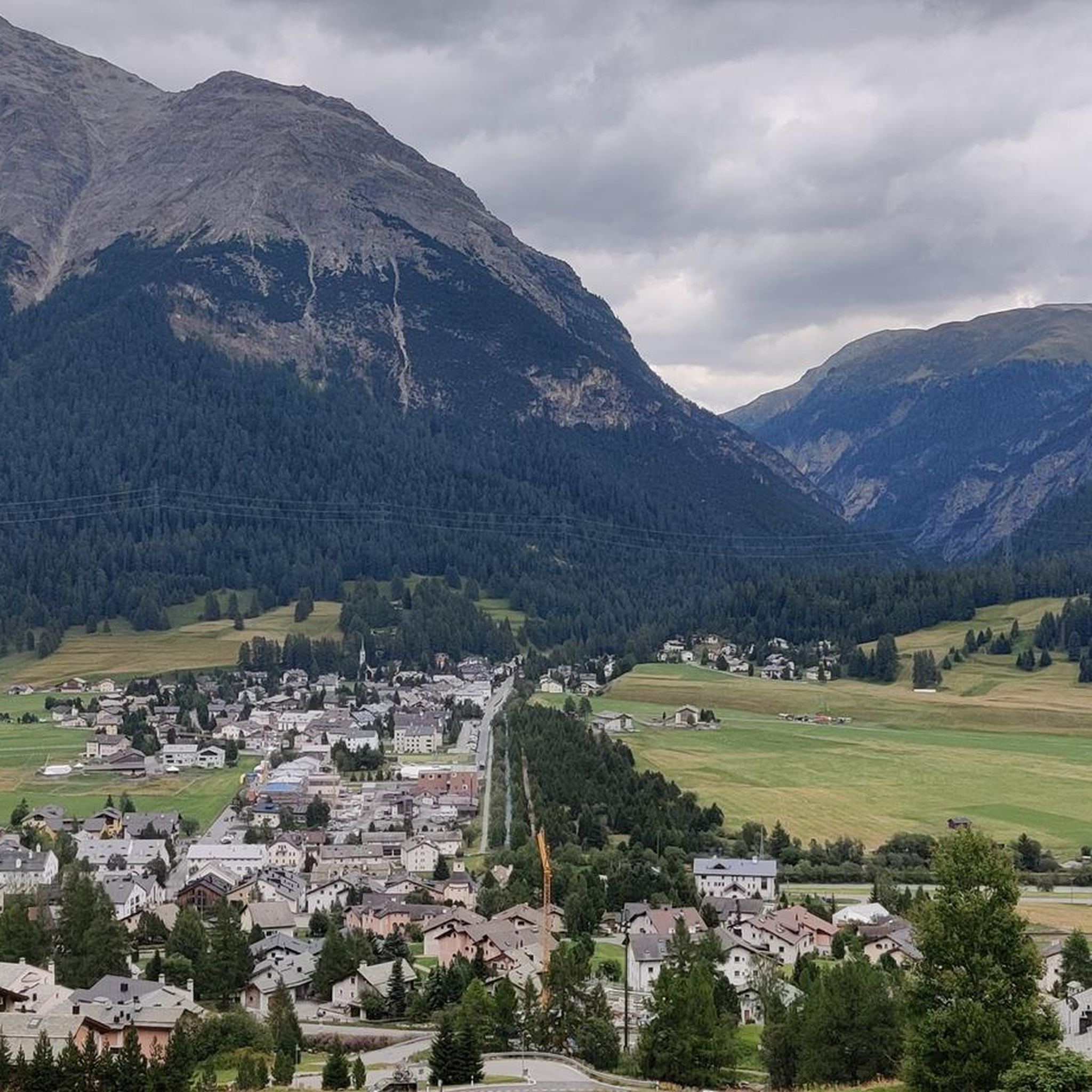
Road Cycling Routes around La Punt-Chamues-ch
Hiking around La Punt-Chamues-ch
Cycling around La Punt-Chamues-ch

Gravel biking around La Punt-Chamues-ch
MTB Trails around La Punt-Chamues-ch
Running Trails around La Punt-Chamues-ch
Other adventures around La Punt-Chamues-ch


Tips from the Community

Beautifully located hut, easily accessible from the Languard mountain station via hiking trails. The name says it all.
1
0
Very nice restaurant, friendly service, wonderful view.
1
0

The chairlift is a bit adventurous, as the technology is rather outdated.
1
0

The ascent and descent to the hut are not easy, but you can enjoy a wonderful view from up there. Tip: The barley soup is extremely delicious! 😋😉
0
0

Chamanna Georgy is an alpine hut located at 3,175 meters above sea level, just 80 meters below the summit of Piz Languard, in the canton of Graubünden, Switzerland. It is the highest hut in the Engadine and the canton of Graubünden. From the hut, a path leads to the summit of Piz Languard in about 30 minutes, offering unique views. Chamanna Georgy has 20 beds and is managed by Céline Egli and Simon Thaler. The surrounding area is frequented by ibex and marmots, making the hike particularly fascinating for lovers of alpine fauna.
1
0

Spaniola Castle Tower, Pontresina The name Spaniola (in Roman spagniöl = Spanish) seems to be of more recent origin. The edge is directed towards the mountain to protect against avalanches and rockfalls, but also for strategic reasons. The round-arched high entrance and the toilet extension on the second floor are clearly visible and unique. The tower can be viewed from the outside. The tower was built around 1200, but there are no written documents. Text / Source: Pontresina Tourism, Via Maistra 133, Pontresina https://www.pontresina.ch/de/guide/unser-pontresina/ausflugsziele-im-ueberblick/kultur-architektur/spaniolaturm
14
0
Röntgenweg, Pontresina On this leisurely tour, you first take the chairlift up to Alp Languard (2326 m above sea level). From Alp Languard, the hike leads into Val Languard. Bringing binoculars is almost a must, because there is a lot to observe in this valley. Marmots sunbathing and, with a bit of luck, even ibexes, which have been resettled here on Piz Albris (3166 m above sea level). The path leads along the stream, which flows into a fork in the road almost at the very back of the valley. The walk towards Paradis Hut (2540 m above sea level) should be rewarded with a piece of cake. After this wonderful refreshment, the path leads along the ridge, past some wonderful vantage points with a view of the beautiful Bernina massif. From the tree line, the zigzag forest path, named after Prof. C.W. Röntgen, leads back down towards Pontresina. The hike ends at the two cultural highlights, the Church of Santa Maria and the Spaniola Tower. Text / Source: Engadin Tourismus AG, Via Maistra 1, CH-7500 St. Moritz https://www.maps.engadin.ch/de/tour/bergwanderrouten/alp-languard-paradis-huette-pontresina/23436149/
14
0
Pontresina "from pass village to mountaineering village / winter sports resort / place of longing for alpinists and nature fans" Once the main town in the valley in the Middle Ages, Pontresina was initially important as a pass village. It later became known as a mountaineering village and as an early popular summer destination. Then also as a winter sports resort. To this day, the high alpine outdoor Eldorado is a place of longing for alpinists and nature fans at any time of year. Text / Source: Pontresina Tourism, Via Maistra 133, Pontresina https://www.pontresina.ch/de/guide/unser-pontresina/dorfportrait
14
0
Frequently Asked Questions
What is the general difficulty of mountaineering routes around La Punt-Chamues-ch?
The mountaineering routes in La Punt-Chamues-ch primarily range from moderate to difficult. Out of 44 available routes, 12 are classified as moderate and 32 as difficult, offering a challenging and rewarding experience for mountaineers. The region's wild peaks and diverse terrain contribute to this demanding environment.
Are there any challenging mountaineering routes for experienced climbers?
Yes, La Punt-Chamues-ch offers numerous challenging routes. For instance, the La Resgia Via Ferrata – Alp Languard loop from Pontresina is a difficult 3.6-mile (5.8 km) trail known for its demanding via ferrata sections. Another difficult option is the Piz Languard Summit – Georgy's Hut loop from Pontresina, which ascends to the highest hut in the Engadine, offering extensive views of the Bernina Group.
What natural landmarks or viewpoints can I expect to see on these routes?
The region is rich in natural beauty. You can expect majestic mountains like Piz Languard and Piz Blaisun, and the deep gorges and untouched nature of Val Chamuera. Many routes offer stunning viewpoints, such as the View of the Upper Engadine from Muottas Muragl. The area also features pine, larch, and spruce forests, and blooming meadows along the Inn river.
Are there any alpine huts or points of interest along the way?
Absolutely. A notable point of interest is the Chamanna Georgy, located at 3,175 meters just below the summit of Piz Languard. It's the highest hut in the Engadine and Graubünden canton, offering unique views and a path to the summit where ibex and marmots are frequently sighted. Other highlights include Lago Bianco and various mountain passes.
What is the best season for mountaineering in La Punt-Chamues-ch?
The best season for mountaineering in La Punt-Chamues-ch is typically during the warmer months, from late spring to early autumn. This period offers more stable weather conditions, less snow at higher altitudes, and longer daylight hours, making the routes more accessible and enjoyable. However, always check local weather forecasts and trail conditions before heading out.
Are there circular mountaineering routes available?
Yes, many mountaineering routes in the area are circular. For example, the View of the Engadin Valley loop from Zuoz is an 8.2-mile (13.2 km) trail that offers panoramic views. Another option is the Igl Compass Summit – Hospice at the Albula Pass loop from Piz Üertsch, a difficult 8.5-kilometer (5.3-mile) route.
What do other mountaineers enjoy most about mountaineering in La Punt-Chamues-ch?
The area is highly rated by the komoot community, with an average score of 5.0 stars from over 40 reviews. Mountaineers often praise the dramatic landscapes, the challenge of the wild peaks, and the sense of solitude found in untouched areas like Val Chamuera. The extensive views, especially from summits like Piz Languard, are also frequently highlighted.
Can I bring my dog on mountaineering routes in La Punt-Chamues-ch?
While specific regulations for dogs on mountaineering routes can vary, generally, dogs are welcome on many trails in the Engadin valley. However, given the challenging terrain and high altitudes of mountaineering routes, it's crucial to ensure your dog is fit for the conditions and to keep them on a leash, especially in areas with wildlife or livestock. Always carry enough water for both yourself and your dog.
Are there less crowded mountaineering trails in the area?
Yes, the region offers opportunities to explore less frequented areas. Val Chamuera, known for its deep gorges and untouched nature, provides routes away from civilization, offering a sense of solitude and immersion in nature. Routes leading to Fuorcla Chaschauna are also celebrated for their pristine and less crowded environments.
What kind of wildlife and flora can be observed along the mountaineering routes?
The region is rich in biodiversity. Val Chamuera, in particular, is celebrated for its plant diversity and abundant wildlife. On higher routes, especially around Piz Languard and Chamanna Georgy, you might frequently spot ibex and marmots. The lower slopes feature pine, larch, and spruce forests, while the valley floor boasts blooming meadows along the Inn river.
How can I access the mountaineering routes by public transport?
La Punt-Chamues-ch is situated in the Engadin valley, which is generally well-served by public transport, including the Rhaetian Railway and local bus services. Many trailheads, especially those starting from villages like Pontresina or Zuoz, are accessible via public transport. For example, the Alp Muntatsch – Piz Ot Summit Cross loop from Samedan starts from a location likely accessible by public transport.
Most popular routes around La Punt-Chamues-ch
Most popular attractions around La Punt-Chamues-ch

Get inspired with the komoot mobile app


Explore more
Browse the best Mountain Hikes & Routes in other regions.
