The best running trails around Tamins
4.6
(214)
8,126
runners
299
runs
Jogging routes around Tamins offer a diverse landscape for runners, situated in the Rhine Valley of Graubünden, Switzerland. The region is characterized by its varied terrain, including river plains, forested hills, and sections with views of the surrounding mountains. Running trails often follow the course of the Rhine River or ascend into the lower mountain slopes, providing a mix of flat and undulating paths. The area's geology includes rock formations and dense woodlands, creating a natural environment for outdoor activity.
…Last updated: September 27, 2026
5.0
(2)
19
runners
25.7km
03:49
1,430m
1,430m
Hard run. Very good fitness required. Sure-footedness, sturdy shoes and alpine experience required.
1.0
(1)
25
runners
6.88km
00:44
50m
50m
Moderate run. Good fitness required. Mostly paved surfaces. Suitable for all skill levels.

17
runners
11.5km
01:33
300m
300m
Hard run. Good fitness required. Sure-footedness, sturdy shoes and alpine experience required.
4.0
(1)
16
runners
6.23km
00:44
150m
150m
Moderate run. Good fitness required. Mostly paved surfaces. Suitable for all skill levels.
13
runners
11.1km
01:30
110m
120m
Hard run. Good fitness required. Sure-footedness, sturdy shoes and alpine experience required.
Get access to more routes and recommendations from other explorers.
Already have an account?
Our route recommendations are based on thousands of hikes, rides, and runs completed by other people on komoot.
Start today with a free account
Your next adventure awaits.
Popular around Tamins

Alpine Passes Trail in Switzerland – 34 stages of pure mountain fun
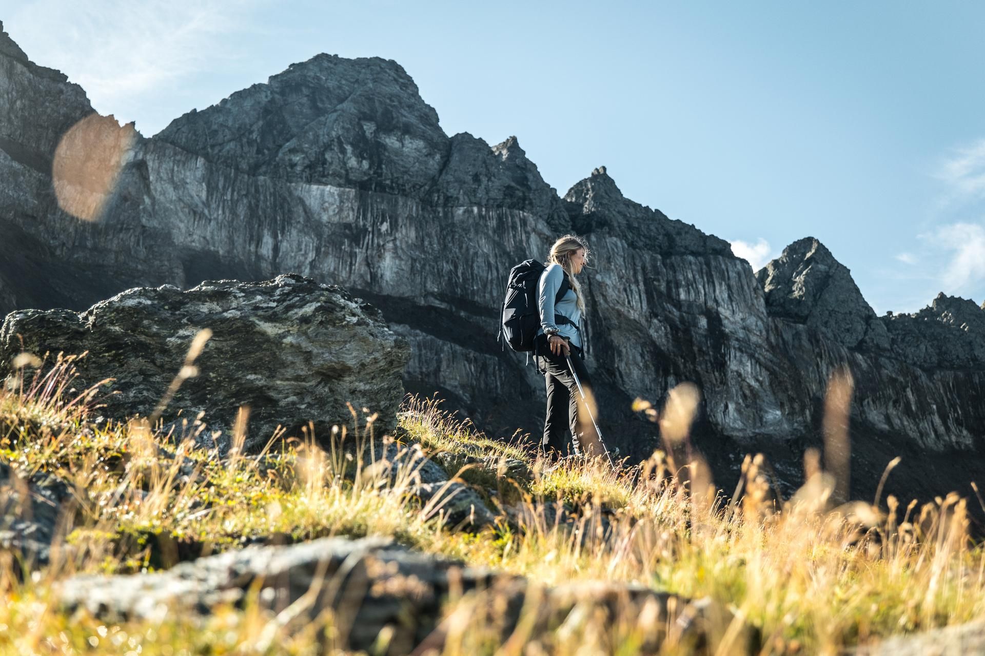
Hiking in the Swiss Tectonic Arena Sardona – Segnes Trek

On ancient paths towards Santiago — the Way of St. James Graubünden
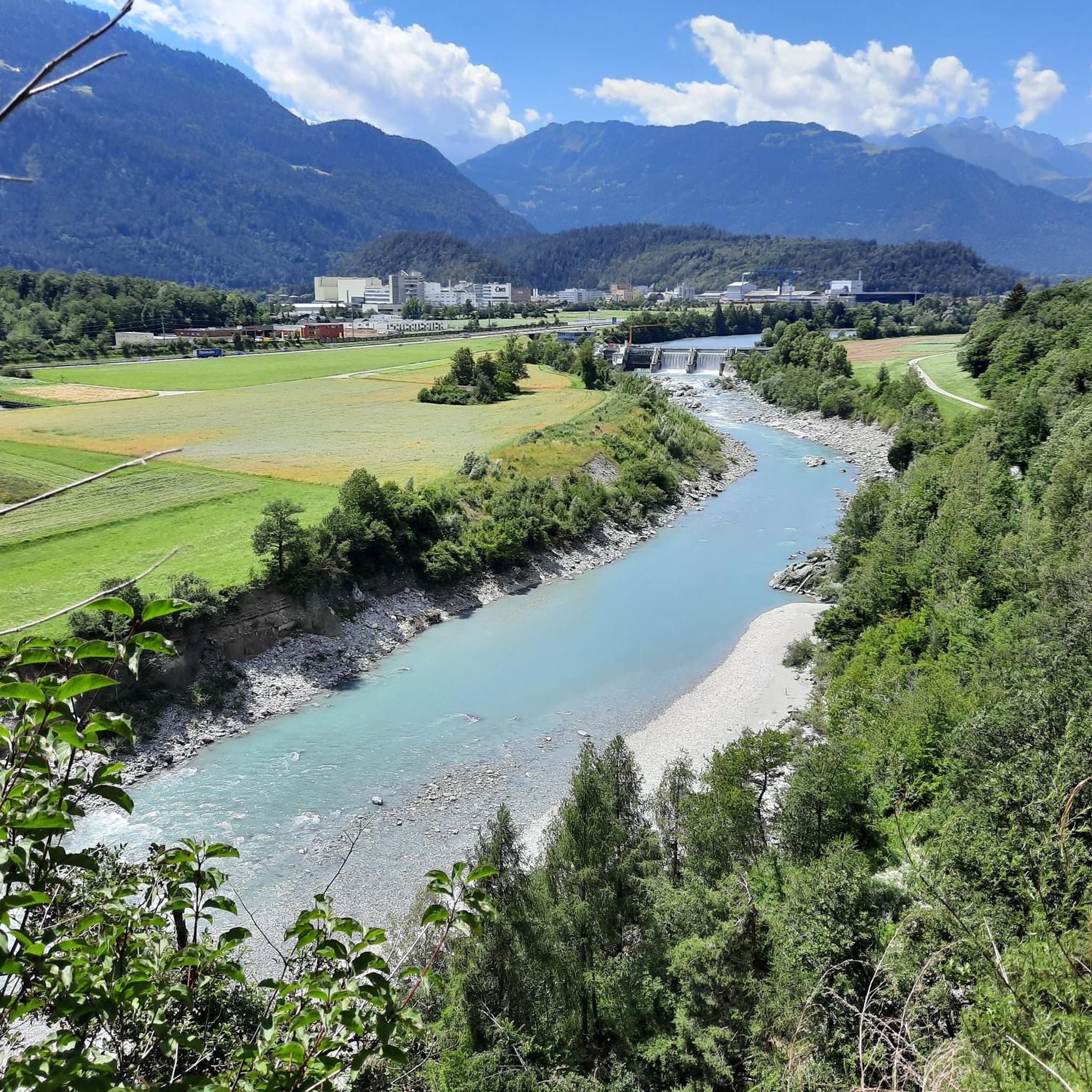
Cycling around Tamins
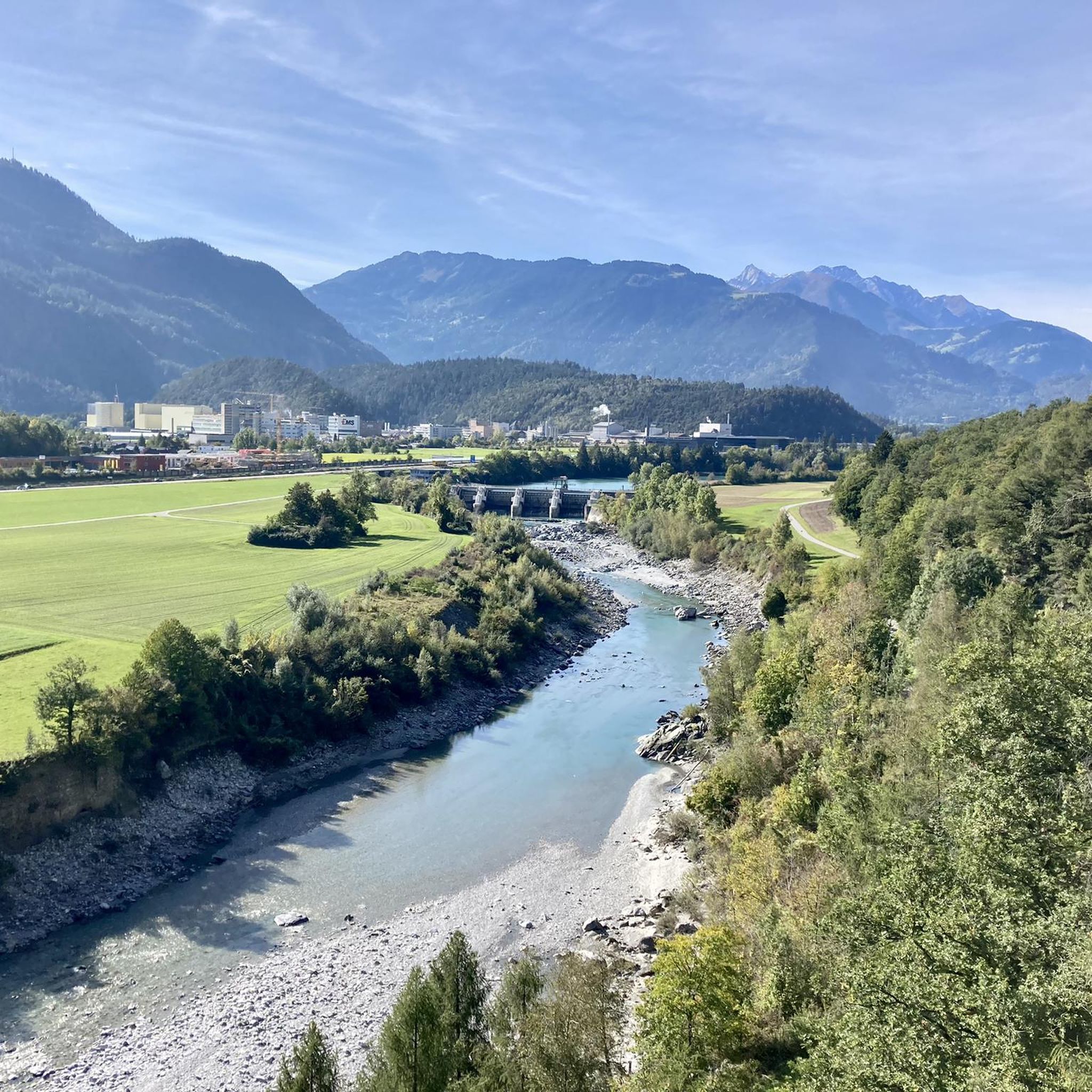
MTB Trails around Tamins
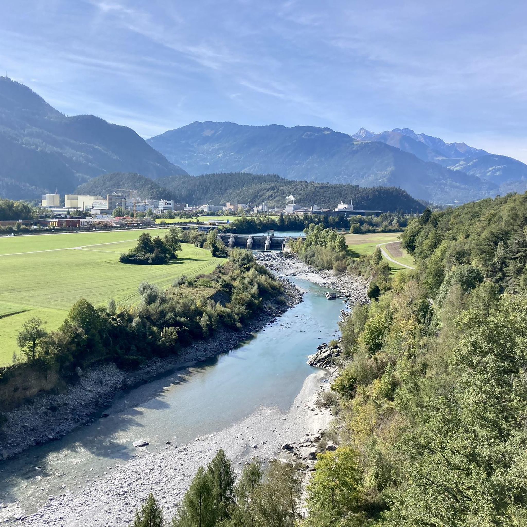
Road Cycling Routes around Tamins
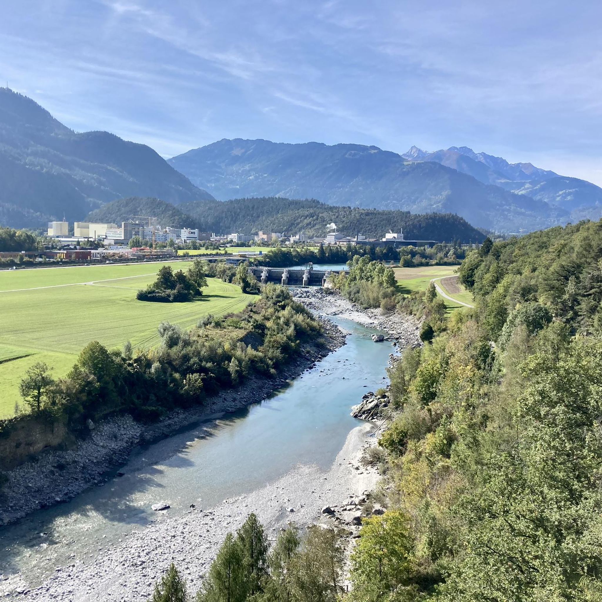
Hiking around Tamins

Gravel biking around Tamins
Mountain Hikes around Tamins
Other adventures around Tamins


Tips from the Community

Between Trin Station and Reichenau there is an official ban on cycling, the path is exclusively for hikers.
1
0

The RhB Reichenau train station, with parking available, is very well suited as a starting point for bike or hiking tours through the wild Vorderrhein Gorge to Sagogn or Ilanz. Along the gorge, there are small RhB train stations, at Trin, Versam-Safien, or Valendas-Sagogn, for intermediate stops or return journeys back to Reichenau.
0
0

fresh wind when looking at the river
0
0


A place of power in a special class
0
0

looks very beautiful, like from a picture book - beautiful, a view straight out of the book
0
0

Ruinaulta Rhine Gorge The Ruinaulta, or Rhine Gorge, is a gorge of the Vorderrhein River, up to 400 meters deep and approximately 13 kilometers long, between Ilanz and the mouth of the Hinterrhein River near Reichenau in the canton of Graubünden in Switzerland. The Romansh name 'Ruinaulta' is composed of the two words ruina (scree slope, quarry) and aulta (high). The Ruinaulta was formed after the Flims Landslide almost 10,000 years ago. At that time, over 10 billion cubic meters of rock broke off between the Flimserstein and Piz Grisch, burying the Vorderrhein Valley between the present-day villages of Castrisch and Reichenau under a mass of debris several hundred meters thick. Because the Vorderrhein River could no longer drain away, a lake was dammed over a length of approximately 25 kilometers. Over time, the river cut deep into the landslide, and the resulting lake drained away completely. What remained was the Ruinaulta, with its steep limestone scree cliffs in impressive erosion formations. Text / Source: Wikipedia https://de.wikipedia.org/wiki/Ruinaulta
16
0
Schloss Reichenau At the confluence of the Hinterrhein and Vorderrhein, at the birthplace of the Alpine Rhine, lies the historic site of Reichenau. Reichenau already had great importance in the past: in the 14th century, as long-distance traffic over the Grisons Alpine passes increased significantly, two bridges and a customs house were built. Reichenau was considered a traffic hub, where all traffic could be controlled. In Reichenau, the routes of the north-south axis separate, along the Vorderrhein into the Oberland towards the Lukmanier and Oberalp passes, and along the Hinterrhein through the Domleschg via the Splügen and San Bernardino. Text / Source: Weinbau von Tscharner & Events Schloss Reichenau, Schloss Reichenau, Reichenauerstr. 59, 7015 Reichenau https://www.reichenau.ch/de/reichenau/geschichte-lage
16
0
Frequently Asked Questions
How many running routes are available in Tamins?
Tamins offers a wide selection of running opportunities, with over 300 routes available for exploration. These range from easy jogs along the river to more challenging ascents into the lower mountain slopes.
What do other runners enjoy most about the trails in Tamins?
The running trails around Tamins are highly rated by the komoot community, with an average score of 4.5 stars from over 170 reviews. Runners frequently praise the diverse landscape, which includes river plains, forested hills, and scenic views of the surrounding mountains.
Are there running routes suitable for beginners in Tamins?
Yes, Tamins has options for all skill levels. There are nearly 20 easy running routes that are perfect for beginners or those looking for a relaxed jog. These often feature flatter terrain along the Rhine Valley.
Can I find circular running routes in Tamins?
Many of the running paths in Tamins are designed as loops, allowing you to start and finish in the same location. For example, the Historic Center of Tamins – Beautiful village of Tamins loop from Tamins is a moderate 3.9-mile (6.2 km) route that takes you through the village and its immediate surroundings.
Are there any running routes that pass by interesting sights or landmarks?
Absolutely! The region around Tamins is rich in history and natural beauty. You can find routes that offer views of the Confluence of the Vorderrhein and Hinterrhein, or explore areas near historic structures like Reichenau Castle. For those interested in natural wonders, some trails may offer glimpses towards the Segnesboden Waterfall or the Flem Gorge.
What are some longer running options for experienced runners in Tamins?
For experienced runners seeking a challenge, Tamins offers many difficult routes. A notable option is the Bargis Valley – Bargis Mountain Hut loop from Imboden, a challenging 16.0-mile (25.7 km) trail with significant elevation gain through alpine terrain, typically taking almost 4 hours to complete.
Are dogs allowed on the running trails around Tamins?
Generally, dogs are welcome on most trails in the Tamins region, especially on forest paths and along the river. However, it's always advisable to keep them on a leash, particularly in nature reserves, agricultural areas, or near livestock, and to respect local signage.
What about running in Tamins during winter?
While some higher-altitude trails may be covered in snow and require winter gear or snowshoes, many lower-lying paths along the Rhine Valley remain accessible for running during winter, weather permitting. Always check local conditions and trail reports before heading out.
Can I find running trails with scenic viewpoints in Tamins?
Yes, many routes in Tamins offer stunning vistas. The region's varied terrain, including forested hills and lower mountain slopes, provides numerous opportunities for panoramic views of the Rhine Valley and the surrounding Graubünden peaks. Trails like the Rockfall Hazard Section – Ustria Trin Station loop from Tamins offer open sections with valley views.
Are there family-friendly running paths in Tamins?
For families, the easier and moderate routes are generally the best choice. These often follow flatter sections along the river or through the village, providing a pleasant experience for all ages. Look for routes with less elevation gain and shorter distances.
Where can I find parking for running routes in Tamins?
Parking is typically available at key trailheads or near village centers in Tamins and surrounding communities like Domat/Ems or Imboden. Specific parking information can often be found on local tourism websites or within the komoot route details for individual tours.
Are there less crowded running trails in Tamins?
To find less crowded trails, consider exploring some of the more challenging routes or venturing out during off-peak hours, such as early mornings or weekdays. The extensive network of over 300 routes means there are always quieter options away from the most popular spots.
Most popular attractions around Tamins

Get inspired with the komoot mobile app


Explore more
Browse the best Running Trails & Routes in other regions.
