The best walks and hikes around Labécède-Lauragais
4.4
(457)
3,584
hikers
119
hikes
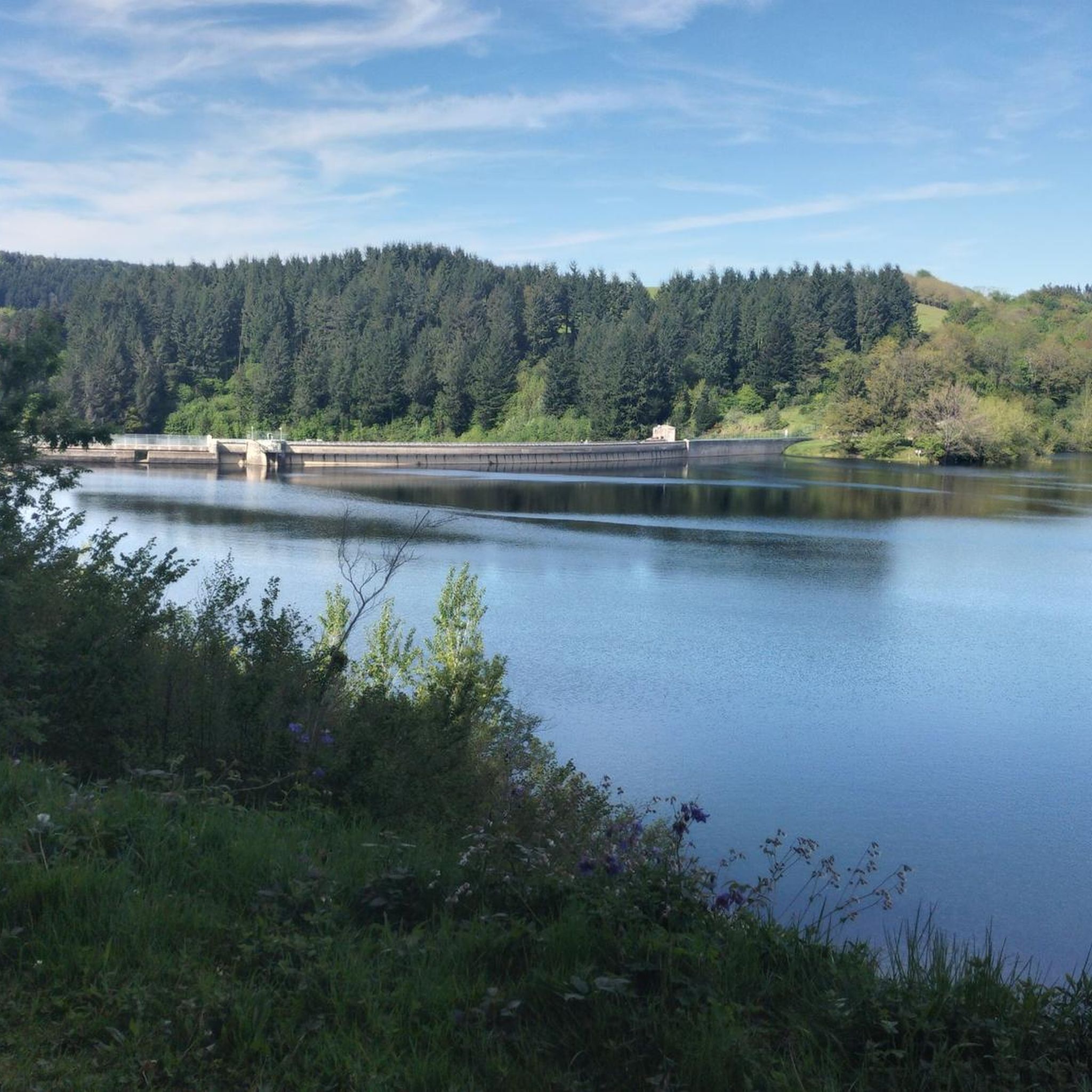
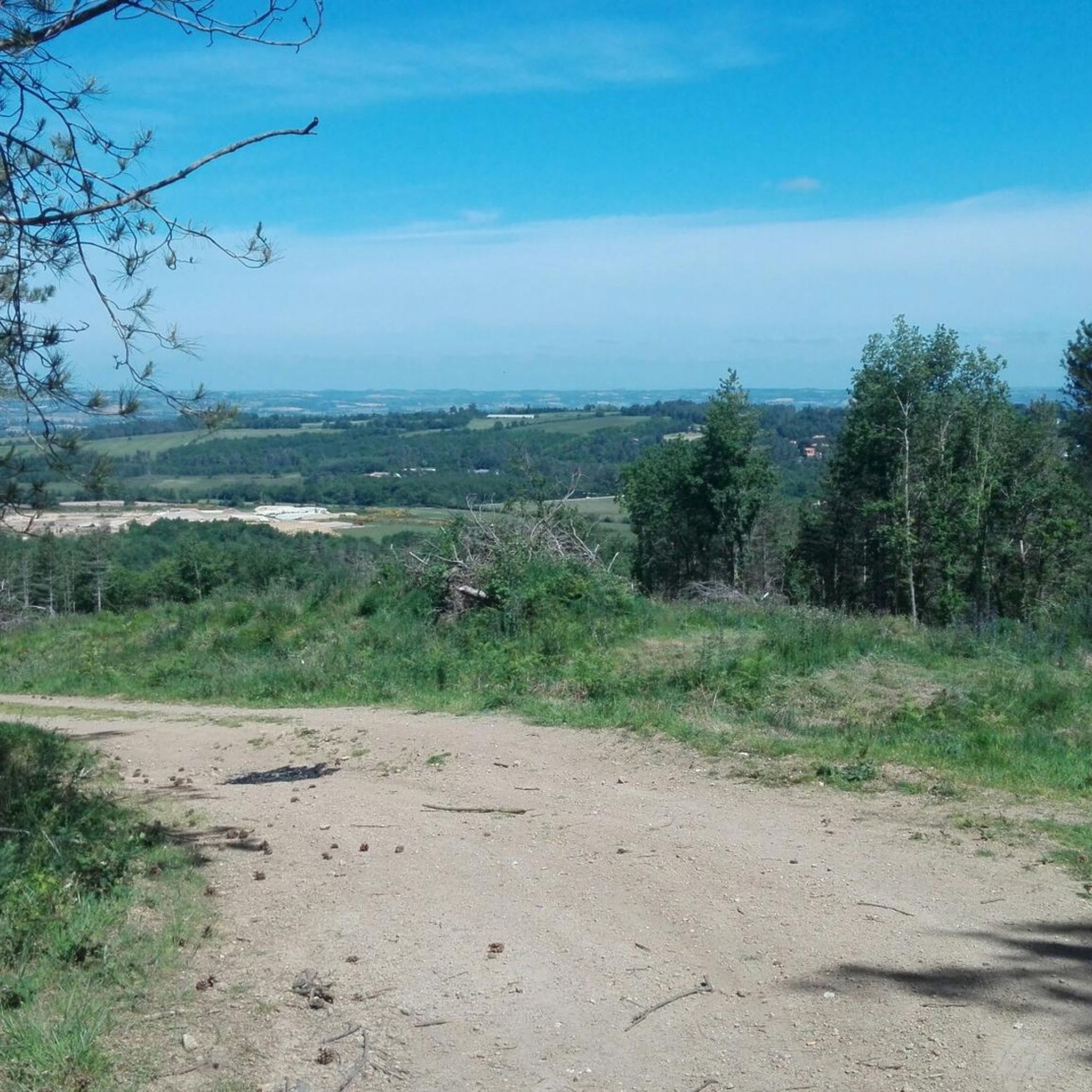
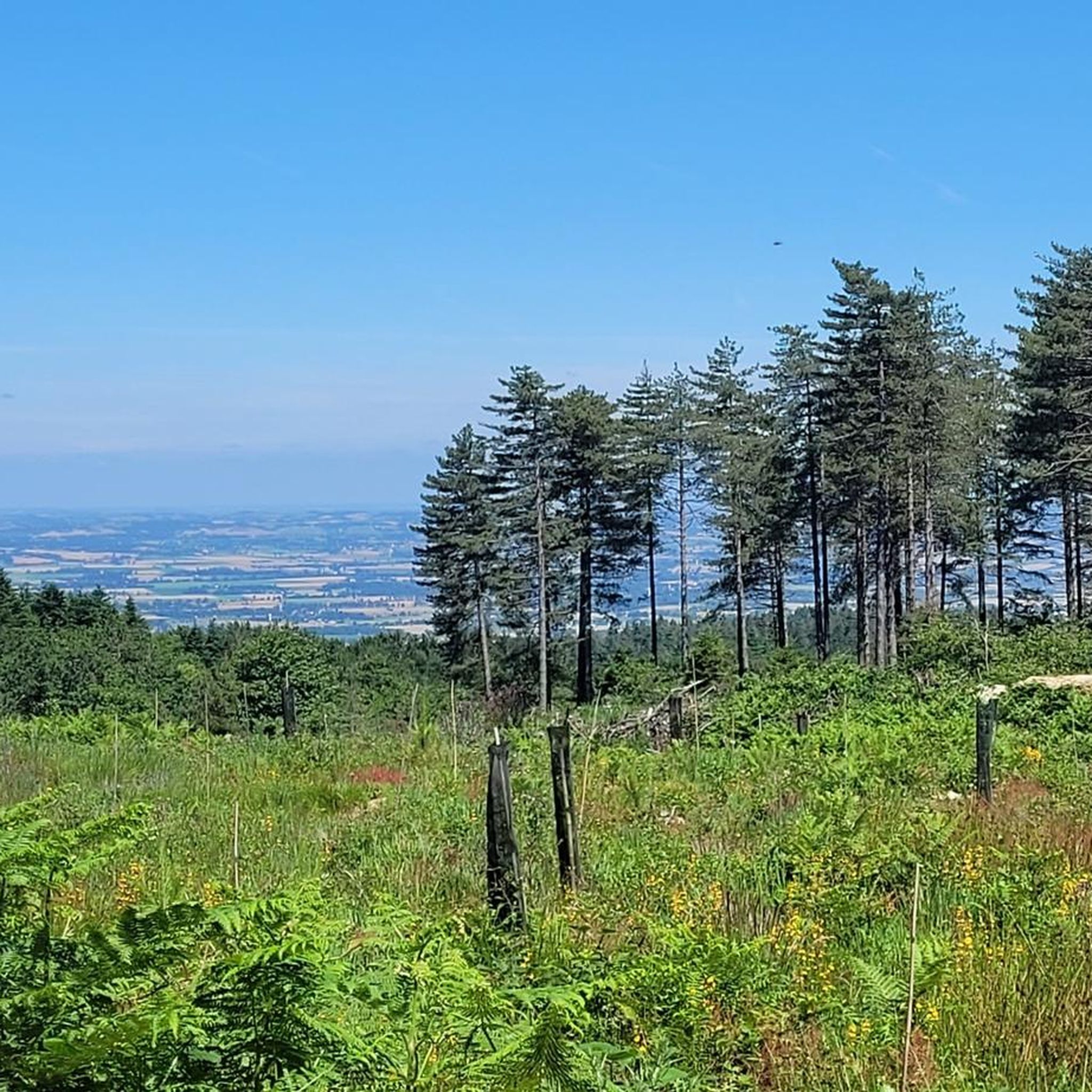
Hiking around Labécède-Lauragais offers diverse landscapes, situated between the Montagne Noire and the vast Lauragais plain. To the north, the Montagne Noire provides a backdrop of mountains, shaded forests, and scenic walking trails. To the south, the Lauragais plain extends towards the Pyrénées, offering open views. This geographical position allows for varied hiking terrain, from mountainous areas to rolling plains.
Best hiking trails around Labécède-Lauragais
- The most popular hiking route is Lac de Saint-Ferréol – Lac de Saint-Ferréol loop from…
Last updated: May 23, 2026
4.6
(49)
623
hikers
Easy hike. Great for any fitness level. Easily-accessible paths. Suitable for all skill levels.
3.9
(9)
54
hikers
14.1km
04:01
310m
310m
Moderate hike. Good fitness required. Easily-accessible paths. Suitable for all skill levels.

Sign up for free
4.8
(4)
42
hikers
7.04km
02:08
240m
240m
Moderate hike. Good fitness required. Easily-accessible paths. Suitable for all skill levels.
4.6
(5)
18
hikers
16.6km
04:43
380m
380m
Moderate hike. Good fitness required. Easily-accessible paths. Suitable for all skill levels.
3.9
(9)
54
hikers
14.7km
04:13
330m
330m
Moderate hike. Good fitness required. Easily-accessible paths. Suitable for all skill levels.
Get access to more routes and recommendations from other explorers.
Sign up for free
Already have an account?
Our route recommendations are based on thousands of hikes, rides, and runs completed by other people on komoot.
Start today with a free account
Your next adventure awaits.
Login or Signup

Tips from the Community

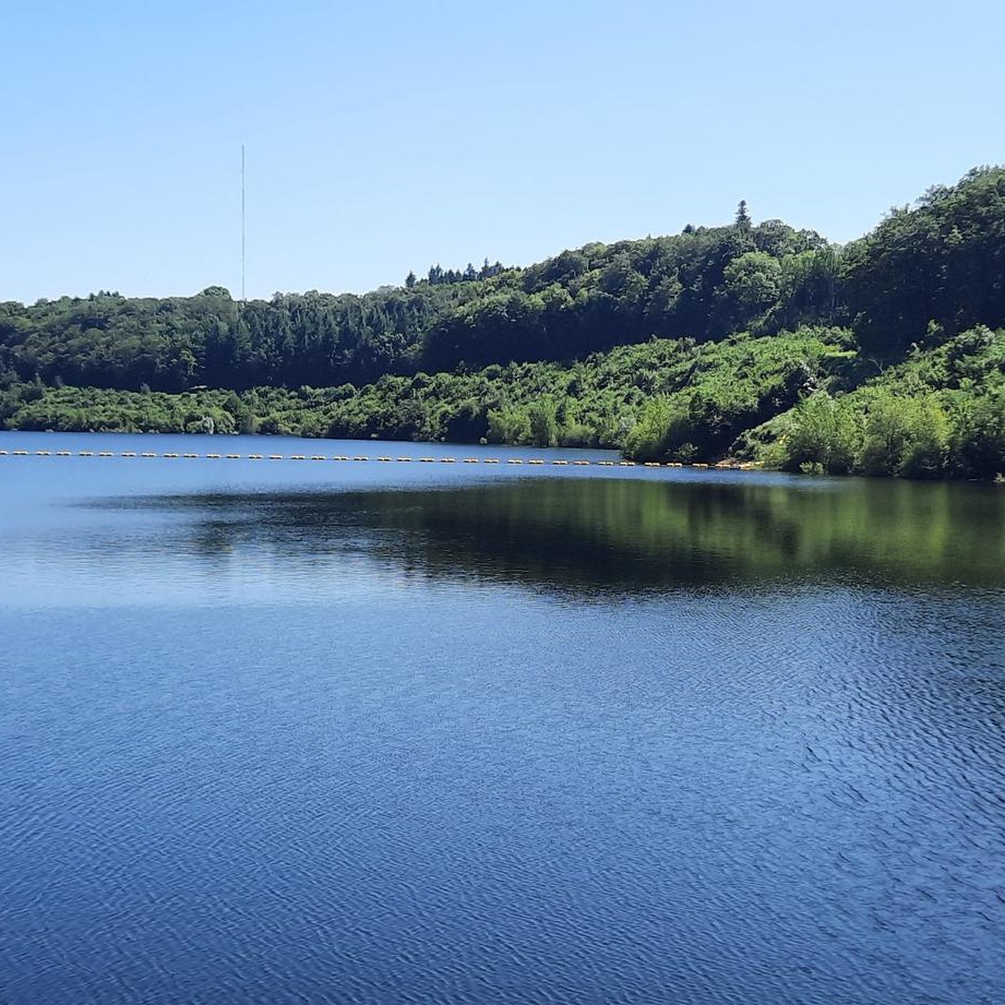
Exploring the beautiful Lac de Saint-Ferréol near Revel, you will discover an oasis of tranquility. You can hike along the shores of the lake and admire the views of the surrounding hills.
0
0

A very pleasant place, suitable for a Sunday outing with the family, starting point or passage for many and very beautiful hikes on foot, horse or two wheels ...
0
0

Lake on horseback between 3 departments (Tarn, Aude, Haute-Garonne).
1
0

Ideal for a swim and a picnic (even better in the evening). Campsites and bivouac spots nearby. To get there by bike, it should be noted that the "bike" circuit is VERY, VERY steep and dangerous downhill. Uphill... you end up pushing the bike.
3
0

Lac Ferréol feeds the Canal du Midi. The last, steep ascent to the reservoir is a main road and very steep, so you have to push the bike most of it. But the goal and the rest of the way are worthwhile!
3
0
Frequently Asked Questions
How many hiking trails are available around Labécède-Lauragais?
There are over 120 hiking trails around Labécède-Lauragais, catering to various skill levels. You'll find a good mix of easy, moderate, and challenging routes to explore the diverse landscapes of the Montagne Noire and the Lauragais plain.
Are there any easy, family-friendly hikes in the area?
Yes, Labécède-Lauragais offers several easy routes perfect for families. A great option is the Lac de Saint-Ferréol – Lac de Saint-Ferréol loop from Bassin de Saint-Ferréol, an easy 6.4 km trail that takes about 1 hour 40 minutes to complete, exploring the scenic lakeside. The Rigole de la Plaine also offers pleasant, flat paths suitable for all ages.
What are some longer, more challenging hiking options?
For those seeking a longer adventure, the Lac de Saint-Ferréol – Saint Ferréol loop from Bassin de Saint-Ferréol is a moderate 16.5 km route that takes around 4 hours 45 minutes. Another excellent choice is the Calvetout Trail – Lac de Saint-Ferréol loop from Bassin de Saint-Ferréol, a moderate 14.1 km path offering beautiful views of the lake and surrounding countryside.
Can I find circular hiking routes in Labécède-Lauragais?
Absolutely. Many trails in the region are circular, allowing you to start and end at the same point. For example, the Calvetout Trail loop from Bassin de Saint-Ferréol is a moderate 7.0 km circular route through varied terrain. The "Boucle de la vallée du Lampy" is another well-known circuit offering wide views over the Lauragais.
Are there any waterfalls or natural monuments to see on the trails?
Yes, the Montagne Noire region behind Labécède-Lauragais is known for its natural features. You can discover the Mougnès Waterfall, often found near the Baylou Chapel. The area also features the Dourgne Pass and the Summit of the Oppidum de Berniquaut, offering scenic viewpoints.
What do other hikers say about the trails in Labécède-Lauragais?
The trails around Labécède-Lauragais are highly regarded by the komoot community, with an average rating of 4.4 stars from over 400 reviews. Hikers often praise the diverse landscapes, from the shaded forests of the Montagne Noire to the expansive views over the Lauragais plain, and the well-maintained paths around the lakes.
Are there any lakes or swimming spots along the hiking routes?
Yes, the region is dotted with beautiful lakes. The prominent Lac de Saint-Ferréol is a popular spot for lakeside walks and offers swimming opportunities during the season. Further afield, the Lac des Cammazes provides another pleasant setting for walks and can be incorporated into longer loops.
What is the best time of year to go hiking in Labécède-Lauragais?
Spring and autumn are generally the best times for hiking in Labécède-Lauragais, offering pleasant temperatures and vibrant scenery. Spring brings blooming wildflowers, while autumn showcases beautiful foliage. Summer can be warm, but the shaded forests of the Montagne Noire provide cooler options. Winter hiking is also possible, though some trails might be muddy.
Are there any historical or cultural points of interest near the trails?
Beyond natural beauty, the region has historical significance. The Rigole de la Plaine, part of the Canal du Midi system, is a UNESCO World Heritage site offering pleasant walks. You might also encounter the Voûte de Vauban near Lac des Cammazes, an impressive architectural feature. The nearby village of Les Cammazes also offers a charming stop.
Is there parking available at the trailheads?
Yes, many popular trailheads, especially around the lakes like Lac de Saint-Ferréol and Lac de Lenclas, offer designated parking areas. It's advisable to check specific route details on komoot for precise parking information before you head out.
Can I reach hiking trails using public transport?
While Labécède-Lauragais is a rural area, some regional bus services might connect to nearby towns. However, for direct access to many trailheads, particularly those deeper in the Montagne Noire or around smaller lakes, a car is generally recommended for convenience. Always check local transport schedules for the most up-to-date information.
Most popular routes around Labécède-Lauragais
Most popular attractions around Labécède-Lauragais

Get inspired with the komoot mobile app


Explore more
Browse the best Hikes in other regions.
