The best mountain hikes around Urmein
5.0
(6)
83
hikers
10
hikes
Mountaineering routes around Urmein are characterized by significant elevation changes and rugged alpine terrain within the Viamala region. The area features prominent peaks and mountain passes, offering challenging climbs and expansive views. Mountaineers can expect a landscape composed of rocky ridges, high-altitude meadows, and steep ascents. This region provides a diverse environment for those seeking demanding mountain experiences.
Best mountaineering routes around Urmein
- The most popular mountaineering route is Cliffside Ladder loop from Donat, an 8.3 miles (13.3 km)…
Last updated: June 23, 2026
5.0
(1)
22
hikers
13.6km
07:09
1,420m
1,420m
Hard mountaineering route. Very good fitness required. Sure-footedness, sturdy shoes and alpine experience required.
5.0
(2)
20
hikers
11.1km
04:53
1,020m
1,020m
Hard mountaineering route. Very good fitness required. Easily-accessible paths. Suitable for all skill levels.

Sign up for free
5.0
(1)
13
hikers
10.7km
07:05
1,120m
1,120m
Hard mountaineering route. Very good fitness required. Sure-footedness, sturdy shoes and alpine experience required.
5.0
(1)
11
hikers
16.7km
06:51
1,210m
1,210m
Hard mountaineering route. Very good fitness required. Sure-footedness, sturdy shoes and alpine experience required.
5
hikers
8.27km
03:42
610m
610m
Hard mountaineering route. Good fitness required. Sure-footedness, sturdy shoes and alpine experience required.
Get access to more routes and recommendations from other explorers.
Sign up for free
Already have an account?
Our route recommendations are based on thousands of hikes, rides, and runs completed by other people on komoot.
Start today with a free account
Your next adventure awaits.
Login or Signup
Tips from the Community

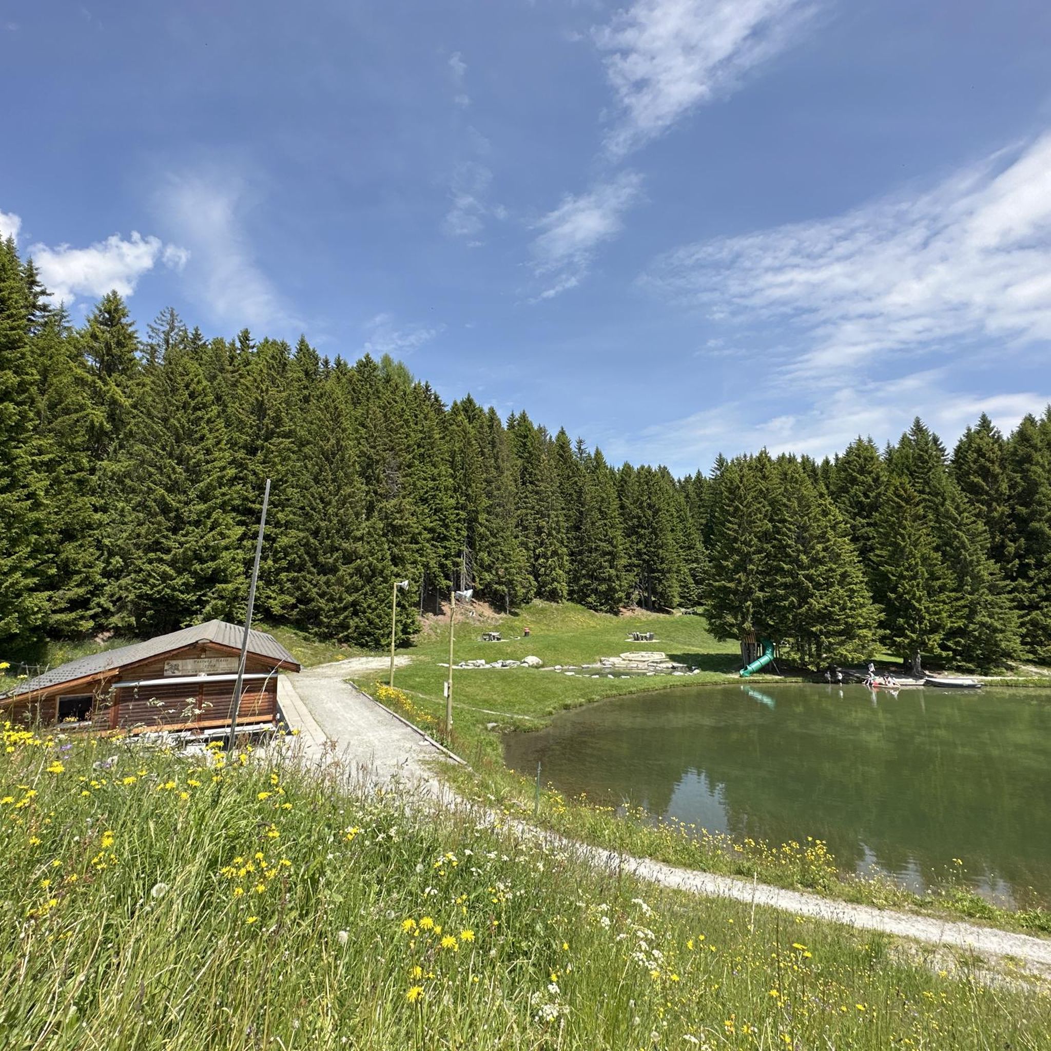
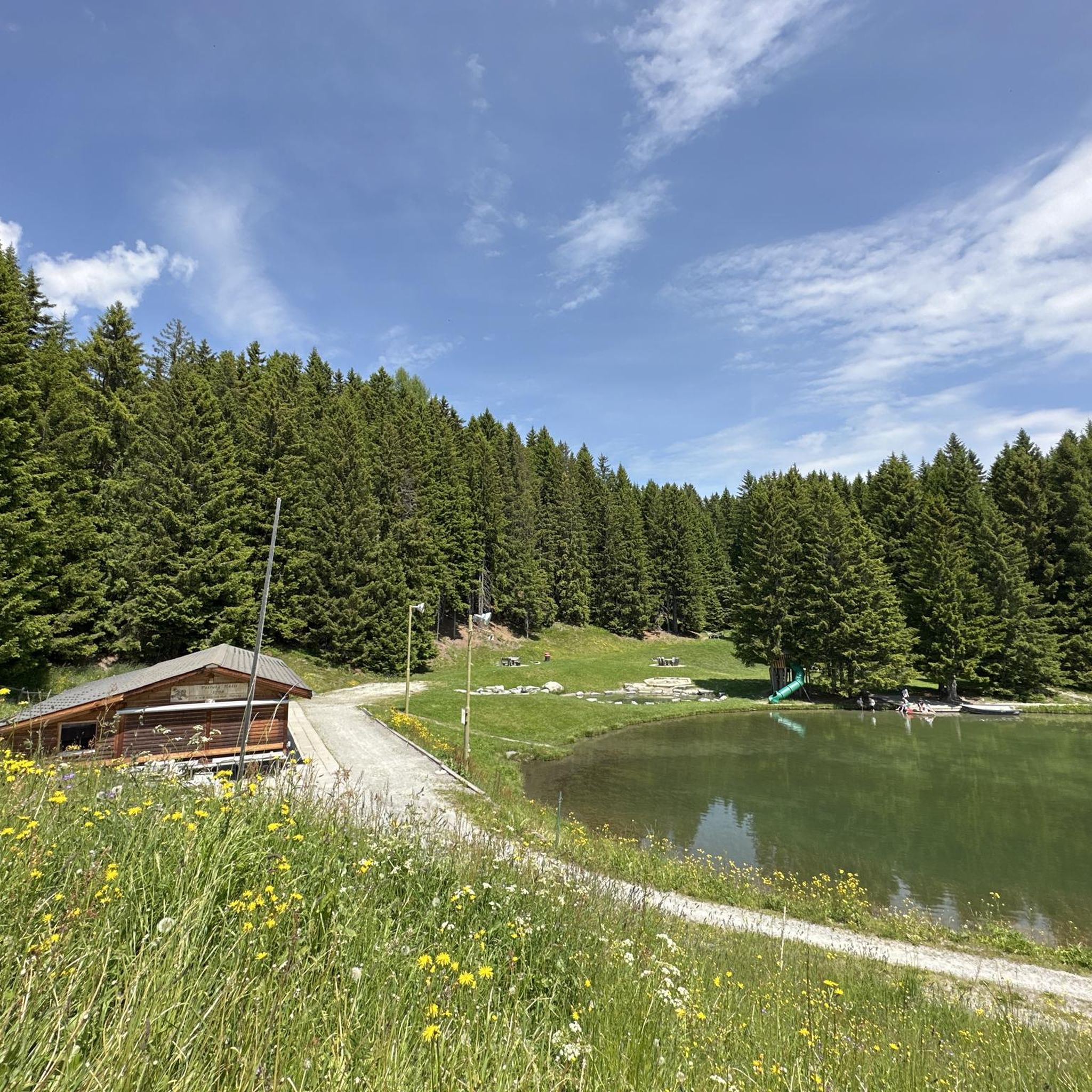
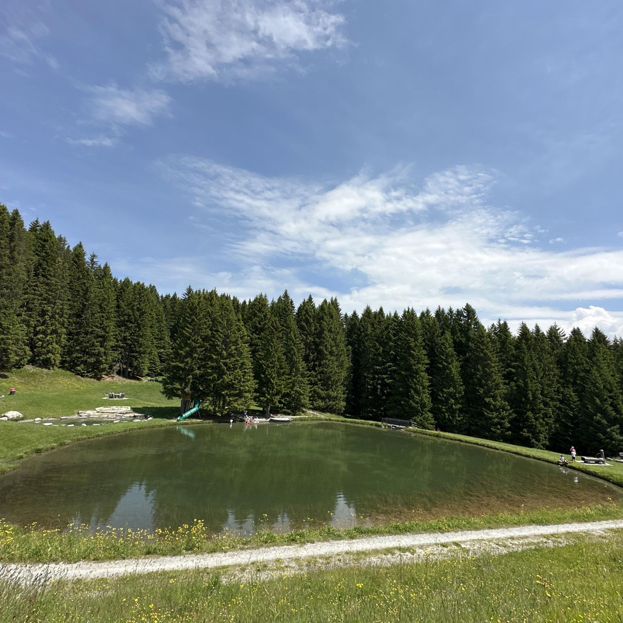
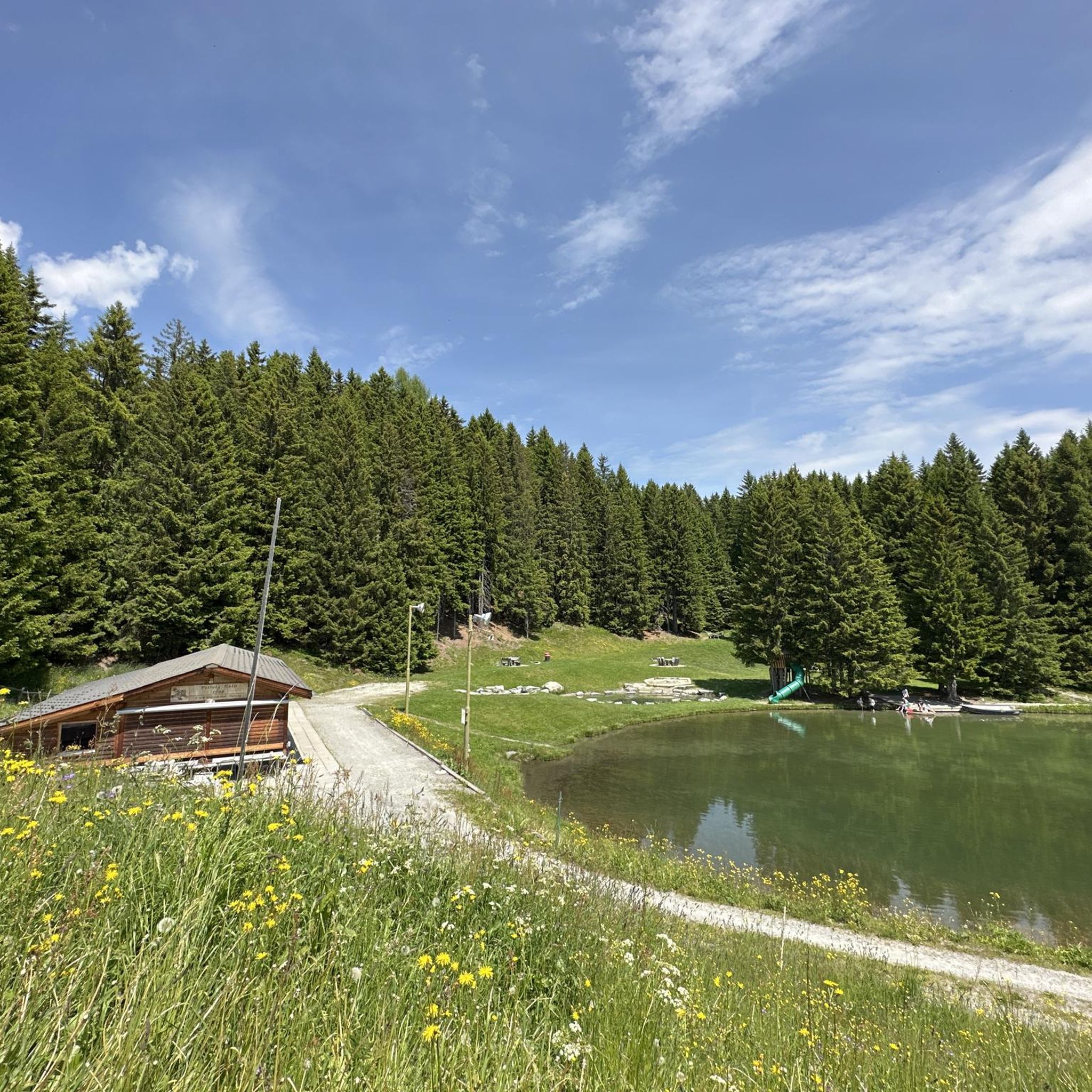
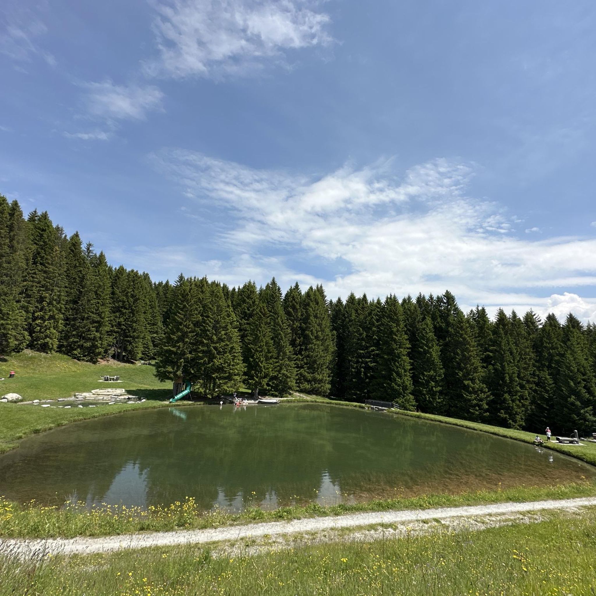
Lake in front of the Tenner Kreuz
0
0

Be sure to leave early on weekends! It fills up quickly, and turning around (when it's full) is no fun.
0
0
Beautifully rounded summit, often crowded, wide panoramic view
0
0

Next parking lot for the ascent to Piz Beverin
0
0

Mathon is located in the beautiful Viamala region and has around 50 inhabitants today. In addition to the pretty village center with its listed church, the ruins of the old St. Anthony's Church below the village are also fascinating to see.
0
0
In the small town of Wergenstein, the white church, which stands in a prime location above the valley, stands out in particular.
0
0

The Reformed Church is a listed building and is situated on the outskirts of Wergenstein with great views.
1
0

Beautiful Romanesque church from 1408. Details can be found in Wikipedia "Reformed Church Tenna".
0
0
Frequently Asked Questions
What types of mountaineering routes can I expect around Urmein?
The Urmein area, situated in the Viamala region, offers mountaineering routes characterized by significant elevation changes, rugged alpine terrain, and prominent peaks. You'll find challenging climbs, expansive views, rocky ridges, high-altitude meadows, and steep ascents. The routes are primarily geared towards experienced mountaineers, with most being classified as difficult.
Are there any easier mountaineering options for beginners or families?
While most routes around Urmein are challenging, there is at least one easy route and three moderate routes available. For a less demanding experience, consider exploring the broader Viamala region, which offers a wider range of hiking trails suitable for various skill levels. Always check the route's difficulty and elevation profile before setting out.
What are some of the most challenging mountaineering routes in the Urmein area?
For experienced mountaineers seeking a challenge, routes like the Piz Tarantschun loop from Donat, covering 16.4 km with over 1100 meters of ascent, offer demanding climbs and significant elevation. Another difficult option is the Cliffside Ladder loop from Donat, which includes potentially exposed sections over 13.3 km.
Are there any circular mountaineering routes around Urmein?
Yes, many of the mountaineering routes in the Urmein area are designed as loops, allowing you to start and finish at the same point. Examples include the Bös Fess Summit loop from Tenna and the Piz Beverin – Glaspass loop from Glaspass, both offering comprehensive tours of the alpine landscape.
What is the best time of year for mountaineering in Urmein?
The best time for mountaineering in Urmein is typically during the late spring, summer, and early autumn months (June to October). During this period, snow has usually melted from higher elevations, and weather conditions are generally more stable. Always check local weather forecasts and trail conditions before your trip, as alpine weather can change rapidly.
What kind of views and landmarks can I expect on these routes?
Mountaineering routes around Urmein offer expansive panoramic views of the surrounding mountain landscape, often reaching prominent peaks like Piz Beverin. You'll traverse high mountain passes and experience the rugged beauty of the Viamala region. While the routes themselves focus on natural alpine features, the wider area is rich in historical sites. For example, you can find several castles nearby, such as the View of Hohen Rätien Castle Ruins or Rietberg Castle.
Are there any notable natural attractions near the mountaineering trails?
Absolutely. The Urmein area is close to several impressive natural attractions. The dramatic Viamala Gorge is a must-see, known for its deep canyons. You can also visit the Traversinersteg Suspension Bridge, an architectural marvel spanning a gorge, or the equally stunning Roffla Gorge.
What do other mountaineers say about the routes in Urmein?
The mountaineering routes in Urmein are highly regarded by the komoot community, with an average rating of 5.0 stars from several reviews. Users often praise the challenging nature of the trails, the stunning alpine scenery, and the sense of accomplishment gained from tackling the significant elevation changes.
Is it possible to find less crowded mountaineering trails in Urmein?
While some popular routes might see more traffic, the Urmein area generally offers a sense of solitude due to the demanding nature of its mountaineering trails. To find potentially less crowded options, consider exploring routes that are slightly longer or have higher elevation gains, as these naturally deter casual hikers. The Tenner Kreuz – Schlüechtli loop from Tenna, while still challenging, might offer a more secluded experience.
Are there any specific permits required for mountaineering in the Urmein region?
Generally, no specific permits are required for mountaineering on established trails in the Urmein region. However, it's always advisable to check with local tourist information centers or mountain guides for any specific regulations, especially if you plan to venture off marked paths or engage in activities like climbing that might require special access or equipment.
Can I bring my dog on the mountaineering trails around Urmein?
Many trails in the Swiss Alps, including those around Urmein, are dog-friendly, provided your dog is well-behaved, kept on a leash where required, and you clean up after them. However, some routes may involve challenging terrain, exposed sections, or require crossing pastures with livestock, which might not be suitable for all dogs. Always assess the specific route's conditions and your dog's capabilities before embarking.
Where can I find parking for mountaineering trailheads in Urmein?
Parking availability varies by trailhead. Many mountaineering routes, especially those starting from villages like Donat or Tenna, will have designated parking areas. It's recommended to research specific starting points for your chosen route in advance. Some smaller trailheads might have limited parking, so arriving early is often a good idea, especially during peak season.
Most popular attractions around Urmein

Get inspired with the komoot mobile app


Explore more
Browse the best Mountain Hikes & Routes in other regions.
