The best mountain hikes around Rothenbrunnen
5.0
(23)
245
hikers
4
hikes
Mountaineering routes around Rothenbrunnen traverse a landscape characterized by significant elevation changes and varied terrain. The region features challenging ascents and descents, often leading through alpine environments. These routes provide opportunities to experience the mountainous character of the area.
Best mountaineering routes around Rothenbrunnen
- The most popular mountaineering route is Pinut Via Ferrata Entry – Via ferrata Pinut loop from Burgruine Belmont, a 5.75 miles (9.3 km) trail that takes 5 hours 53 minutes to complete. This difficult route…
Last updated: May 26, 2026
4.9
(20)
208
hikers
9.23km
05:53
890m
890m
Hard mountaineering route. Very good fitness required. Sure-footedness, sturdy shoes and alpine experience required.
5.0
(2)
20
hikers
11.1km
04:53
1,020m
1,020m
Hard mountaineering route. Very good fitness required. Easily-accessible paths. Suitable for all skill levels.

Sign up for free
5.0
(1)
10
hikers
17.7km
06:50
1,240m
1,240m
Hard mountaineering route. Very good fitness required. Sure-footedness, sturdy shoes and alpine experience required.
5
hikers
8.27km
03:42
610m
610m
Hard mountaineering route. Good fitness required. Sure-footedness, sturdy shoes and alpine experience required.
2
hikers
11.0km
04:05
560m
560m
Moderate mountaineering route. Good fitness required. Mostly accessible paths. Sure-footedness required.
Our route recommendations are based on thousands of hikes, rides, and runs completed by other people on komoot.
Start today with a free account
Your next adventure awaits.
Login or Signup
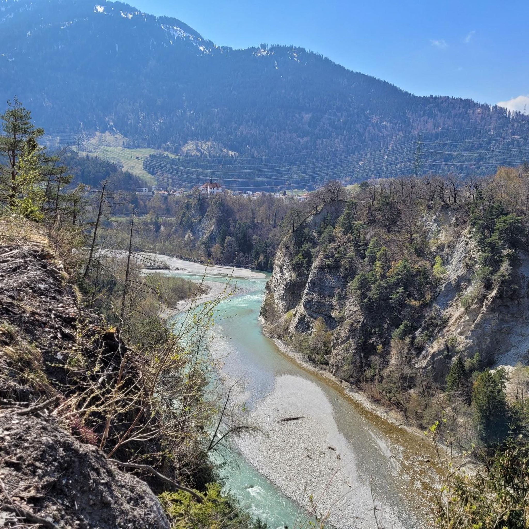
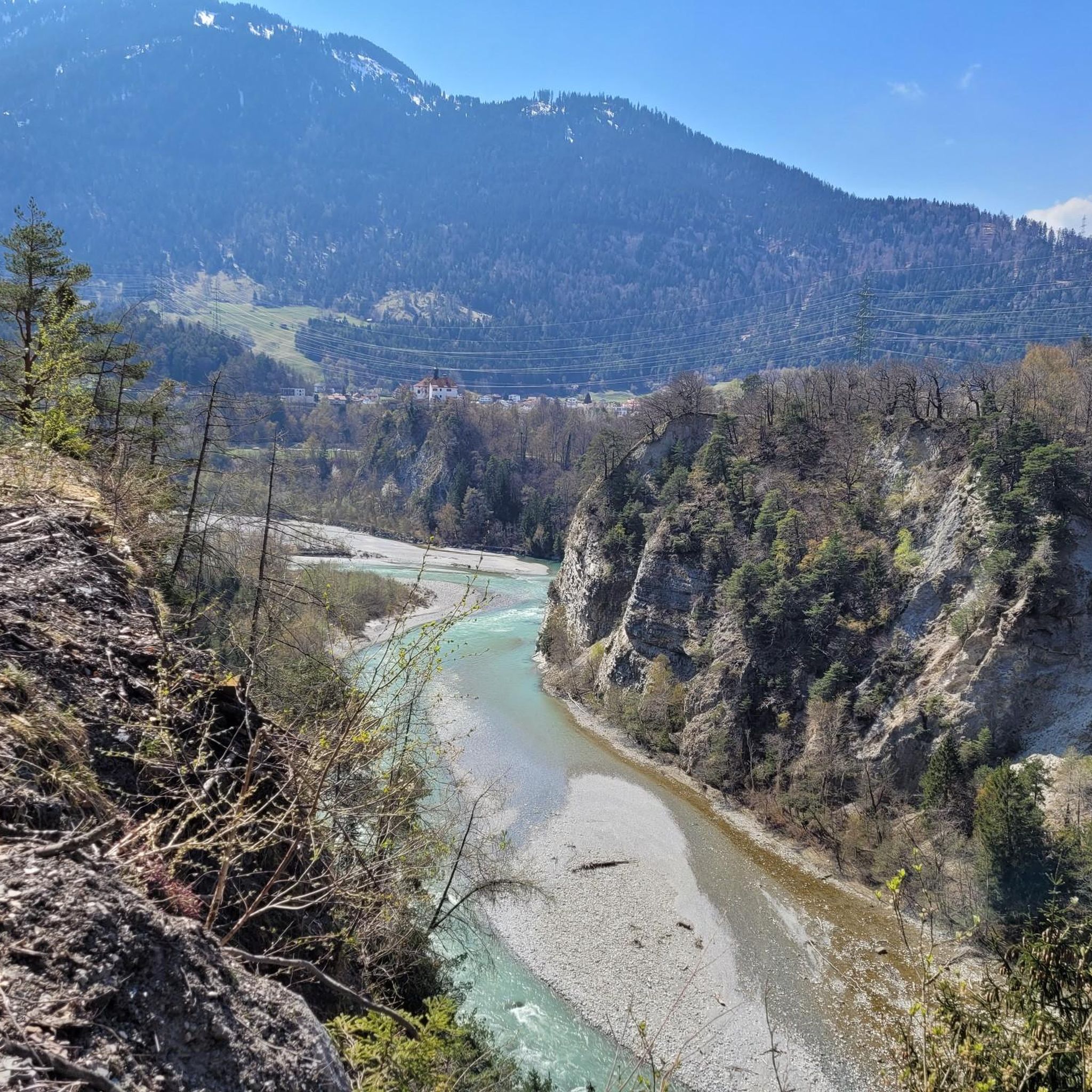
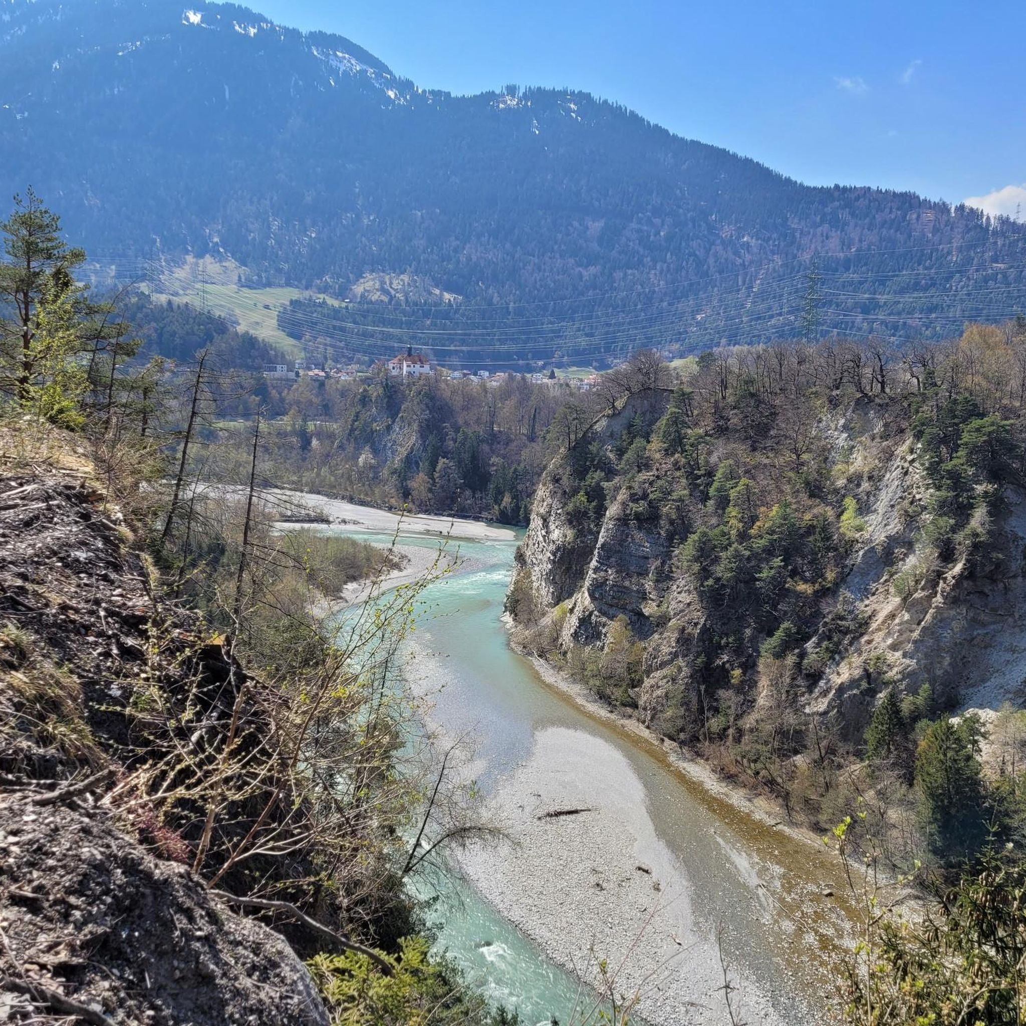
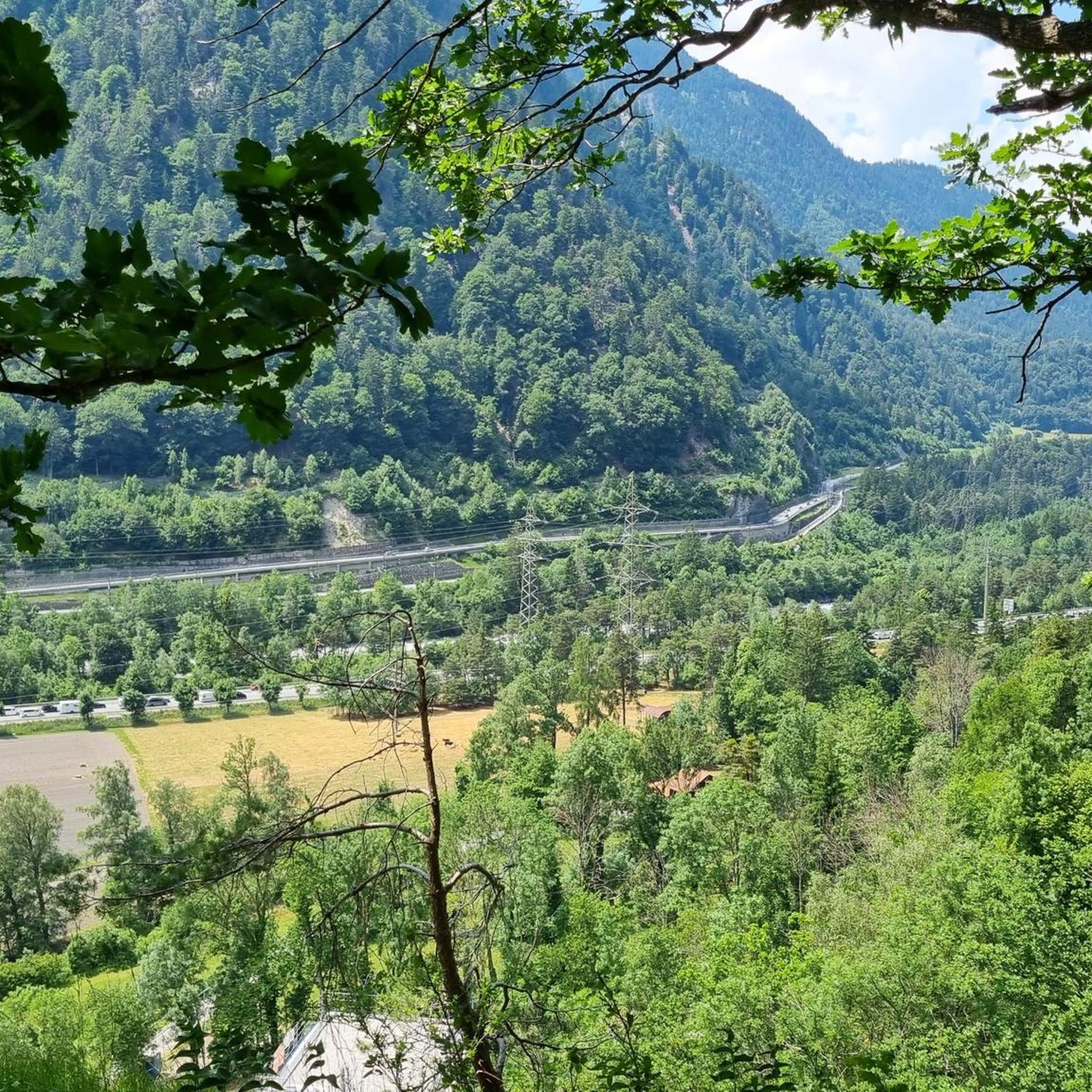

Tips from the Community

Lake in front of the Tenner Kreuz
0
0


The snowshoe trail takes you through the deep snow of this magical winter wonderland.
0
0

Fantastic geological phenomenon. After a long dry spell, the water is a bit greasy from the sun cream used by the bathers. ;-)
1
1

From this very challenging "staircase" you have a wonderful view over the Bargis high valley.
0
0
The walk from Trin Dorf up through the forest feels very long, difficult and boring, but once on the Alp it is beautiful with beautiful views. Definitely worth it. You can also get there from the Bargis high valley, which I think is a nicer walk.
0
0
Constructed (very old) "stairs" along the mountain steeply up or down. Challenging section with beautiful views over the valley.
0
0

Here you can discover a once secret facility. The fortress with bunkers and rock caverns offers a glimpse into the time around the Second World War.
0
0
Frequently Asked Questions
How many mountaineering routes are available around Rothenbrunnen?
There are several dedicated mountaineering routes in the Rothenbrunnen area, with a total of 4 routes listed in this guide. These routes are highly rated by the komoot community, with an average score of 5.0 stars from over 20 reviews.
Are there any mountaineering routes suitable for beginners in Rothenbrunnen?
While most mountaineering routes in Rothenbrunnen are considered difficult, there is one moderate option available: Dreibündenstein Monument – Furggabüel loop from Malix. This route still involves significant elevation gain and requires a good level of fitness and appropriate gear, but it is less demanding than the difficult routes.
What are some of the most challenging mountaineering routes in Rothenbrunnen?
For experienced mountaineers seeking a challenge, routes like the Alp Mora loop from Trin offer substantial elevation gain over 10 miles (16.8 km). Another demanding option is the Bös Fess Summit loop from Tenna, which features over 1,000 meters of ascent.
What is the typical duration for mountaineering routes in Rothenbrunnen?
The duration of mountaineering routes in Rothenbrunnen varies significantly based on distance, elevation, and individual pace. Routes can range from approximately 3 hours 40 minutes for shorter, difficult trails like Tenner Kreuz – Schlüechtli loop from Tenna, up to nearly 6 hours for longer, more strenuous options such as the Pinut Via Ferrata Entry – Via ferrata Pinut loop from Burgruine Belmont.
Are there any circular mountaineering routes in Rothenbrunnen?
Yes, many of the mountaineering routes in Rothenbrunnen are designed as loops, allowing you to start and finish at the same point. Examples include the Bös Fess Summit loop from Tenna and the Alp Mora loop from Trin, providing a convenient way to explore the alpine landscape.
What is the best time of year for mountaineering in Rothenbrunnen?
The prime season for mountaineering in the Rothenbrunnen region is typically from late spring to early autumn (June to September), when trails are generally free of snow and weather conditions are more stable. Always check local weather forecasts and trail conditions before heading out, especially at higher altitudes.
What kind of gear should I bring for mountaineering in Rothenbrunnen?
Given the challenging terrain and significant elevation changes, essential gear includes sturdy mountaineering boots, appropriate layers of clothing for varying weather, a backpack with water and snacks, navigation tools (map, compass, or GPS), and a first-aid kit. For routes involving via ferratas, specialized climbing gear is mandatory. Always be prepared for sudden weather changes in the mountains.
Are there any places to eat or rest along the mountaineering routes?
While direct cafes on every route are not guaranteed, the region offers several mountain huts and restaurants that can serve as excellent resting points or places to refuel. Notable options include Hotel and Restaurant Tgantieni or Mountain inn Parsiras, which are accessible from various points in the broader area. Always check opening times before planning your trip.
What historical or natural landmarks can I see near the mountaineering routes?
The Rothenbrunnen area is rich in history and natural beauty. You can explore historical sites like the View of Hohen Rätien Castle Ruins or Reichenau Castle. Nature enthusiasts might appreciate the Confluence of the Vorderrhein and Hinterrhein, a significant natural landmark.
Is parking available at the trailheads for mountaineering routes?
Parking is generally available near the starting points of many mountaineering routes in the Rothenbrunnen region, particularly in villages like Tenna or Trin. However, availability can vary, especially during peak season. It's advisable to check specific trailhead information or local municipality websites for parking details before your ascent.
What do other mountaineers enjoy most about the routes in Rothenbrunnen?
The komoot community highly rates the mountaineering routes in Rothenbrunnen, with an average score of 5.0 stars. Reviewers often praise the challenging ascents, the stunning alpine landscapes, and the varied terrain that offers a true mountain experience. Many appreciate the well-maintained trails and the sense of accomplishment after completing a demanding route.
Most popular routes around Rothenbrunnen
Most popular attractions around Rothenbrunnen

Get inspired with the komoot mobile app


Explore more
Browse the best Mountain Hikes & Routes in other regions.
