The best running trails around Saint-Michel-De-Chabrillanoux
3.9
(29)
711
runners
59
runs
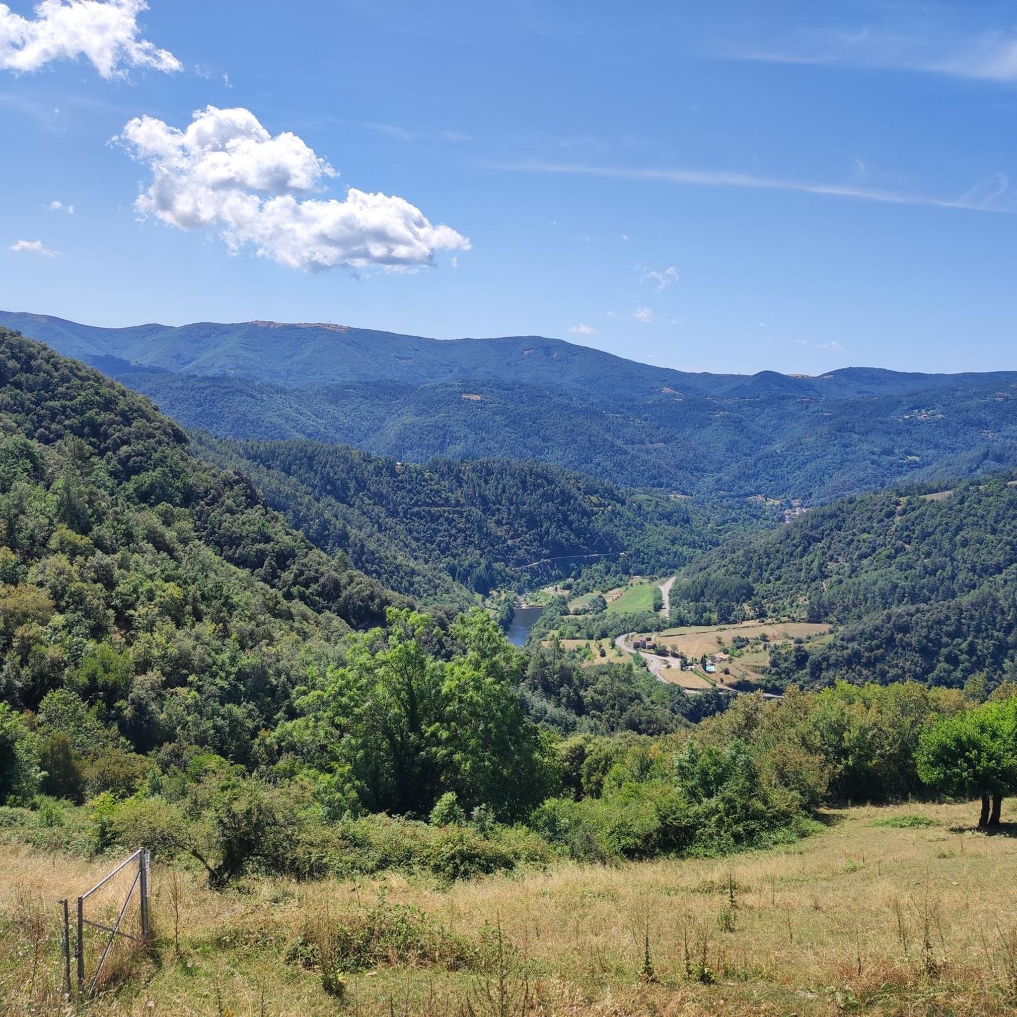
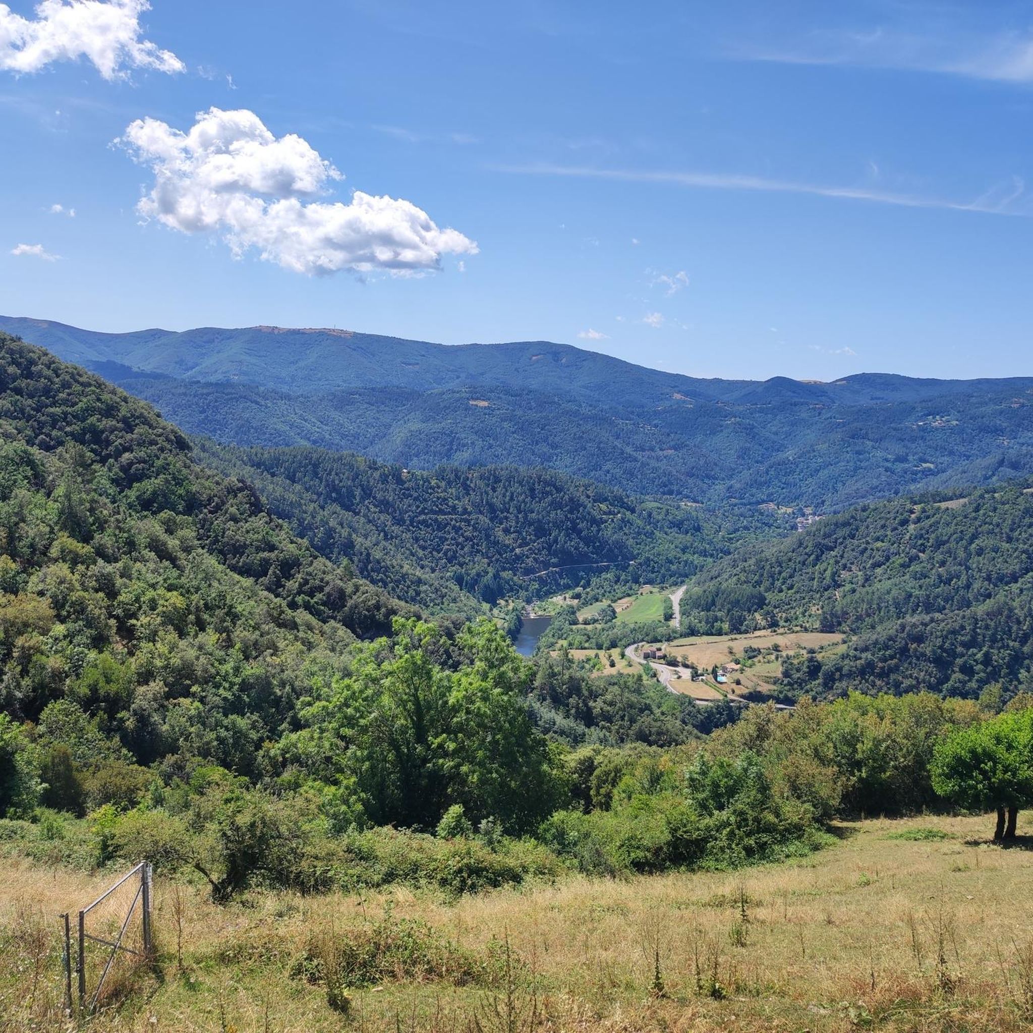
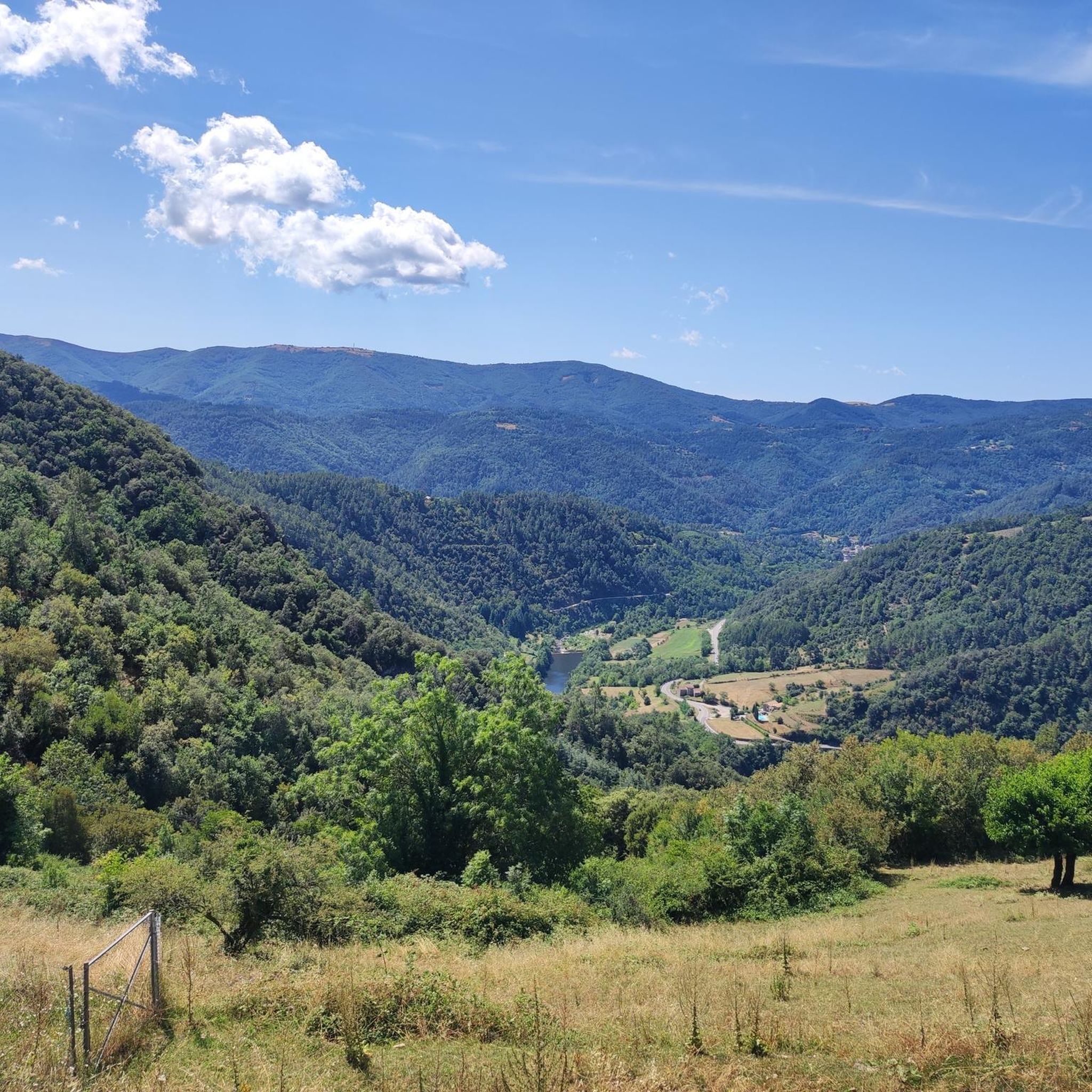
Jogging around Saint-Michel-De-Chabrillanoux offers varied terrain across a hilly landscape in the Ardèche department of southern France. The region features natural inclines and descents, with elevations ranging from 183 to 674 meters. Running routes often traverse open countryside, agricultural terraces, and forested areas, providing diverse settings for physical activity. The area is also characterized by its proximity to the Eyrieux Valley and the presence of the Dolce Via greenway.
Best jogging routes around Saint-Michel-De-Chabrillanoux
- The most popular jogging route is…
Last updated: July 1, 2026
2.4
(12)
55
runners
Moderate run. Good fitness required. Mostly paved surfaces. Suitable for all skill levels.
2.3
(3)
56
runners
Moderate run. Good fitness required. Mostly paved surfaces. Suitable for all skill levels.

Sign up for free
4.0
(2)
27
runners
Moderate run. Good fitness required. Mostly paved surfaces. Suitable for all skill levels.
3.0
(1)
12
runners
9.14km
01:11
310m
320m
Hard run. Very good fitness required. Mostly paved surfaces. Suitable for all skill levels.
16
runners
16.6km
01:47
200m
200m
Hard run. Very good fitness required. Mostly paved surfaces. Suitable for all skill levels.
Get access to more routes and recommendations from other explorers.
Sign up for free
Already have an account?
Our route recommendations are based on thousands of hikes, rides, and runs completed by other people on komoot.
Start today with a free account
Your next adventure awaits.
Login or Signup
Tips from the Community


Great route. We went from Saint-Agrève to Valence. A magnificent descent along the gorges. I recommend it 200%.
0
0

A mandatory refreshment break to enjoy some very good ice creams and sorbets.
0
0

One of the most beautiful via ferries in the South of France
0
0

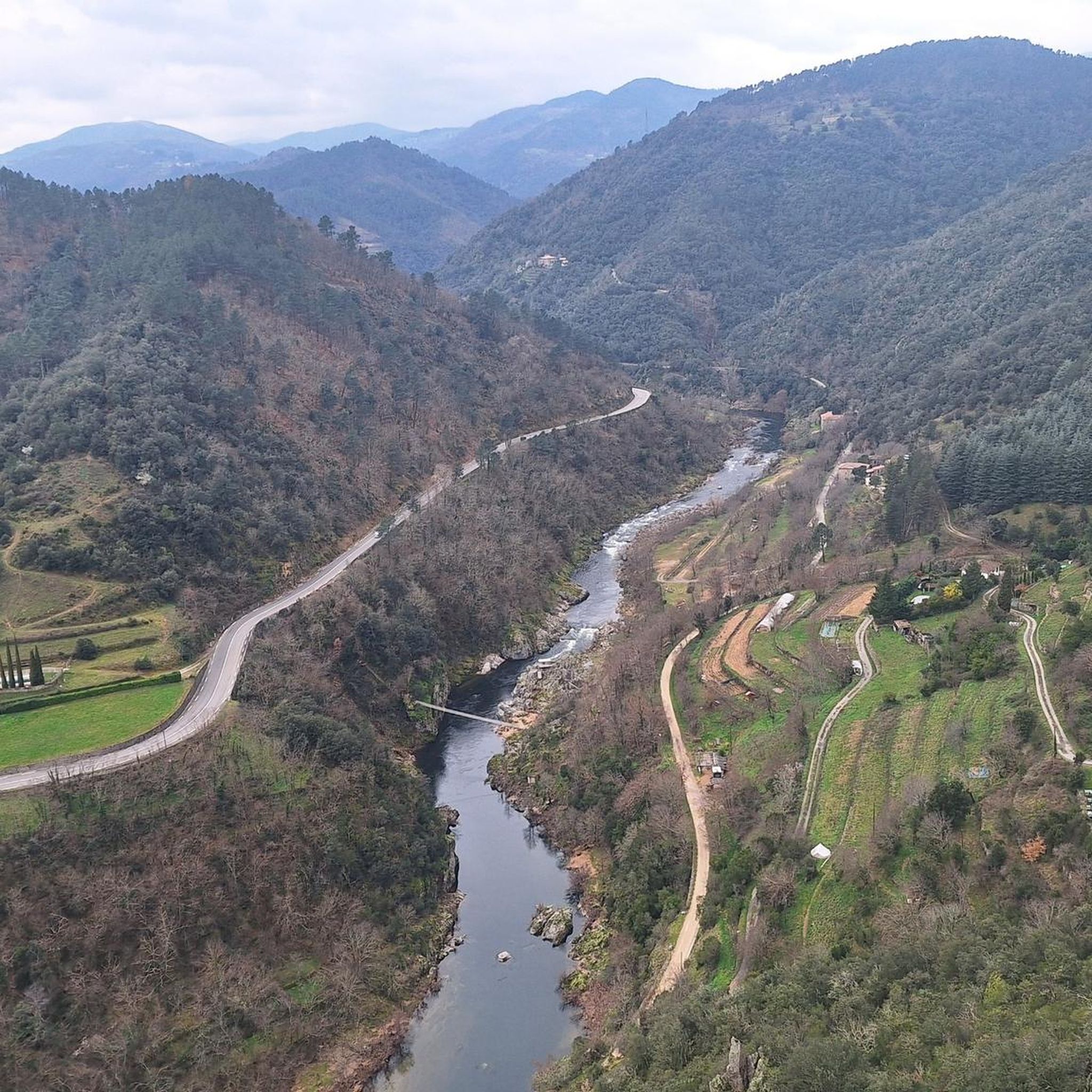
Formerly serving as a railway crossing over the Eyrieux River, the Pimpie viaduct has now been converted into a greenway. It offers beautiful views of the river.
0
0


Ardèche ice cream par excellence! The ice creams are organic and of high quality, there are more than 50 flavors available. The opening hours are quite wide but the tasting room, the one with the glasses and the whipped cream (!!), opens after lunch. There is also a small internal museum. It is really a must-see in the region!
0
0
A little stop not to be missed! The food is good and quality, the service with a smile and the plates magnificent 🤩 There is a place to park the bikes as well as a pump. Do not hesitate to book because it is a small popular setting.
1
0
Frequently Asked Questions
How many running routes are available in Saint-Michel-De-Chabrillanoux?
There are over 50 dedicated running routes around Saint-Michel-De-Chabrillanoux, offering a wide variety of distances and difficulty levels for joggers.
What kind of terrain can I expect when running in this region?
The region around Saint-Michel-De-Chabrillanoux is characterized by its hilly and varied terrain, with elevations ranging from 183 to 674 meters. You'll find natural inclines and descents, agricultural terraces, and forested areas. Many routes also utilize sections of the Voie verte La Dolce Via, a greenway built on an old railway line, offering paths with very little slope.
Are there easy jogging paths suitable for beginners or casual runners?
Yes, Saint-Michel-De-Chabrillanoux offers several easy running options. The Dolce Via greenway is particularly suitable, providing paths with minimal elevation changes. For example, the Viaduc de la Pimpie – Voie verte La Dolce Via loop from Les Ollières-sur-Eyrieux is a moderate 4.0-mile (6.4 km) trail that follows this accessible greenway.
Are there more challenging running routes for experienced athletes?
Absolutely. The hilly terrain of Saint-Michel-De-Chabrillanoux provides plenty of challenging options. There are 25 difficult running routes available, such as the Running loop from Saint-Vincent-de-Durfort, which features significant elevation changes over its 9.1 km distance.
What scenic views or landmarks can I see while jogging?
Jogging in this area offers magnificent panoramic views, especially of the Eyrieux Valley. Routes like Magical view over the Eyrieux – Dolce Via Rail Trail loop from Les Ollières-sur-Eyrieux provide stunning vistas. You can also encounter the Dolce Via Section Through the Gorges of the Eyrieux and the Voie verte La Dolce Via itself, which is a notable feature built on an old railway line.
Are there any circular running routes in the area?
Yes, many of the running paths in Saint-Michel-De-Chabrillanoux are designed as loops, allowing you to start and finish at the same point. Examples include the Magical view over the Eyrieux – Dolce Via Rail Trail loop from Les Ollières-sur-Eyrieux and the Dolce Via Rail Trail – Magical view over the Eyrieux loop from Saint-Sauveur-de-Montagut.
What do other runners enjoy the most about the trails in Saint-Michel-De-Chabrillanoux?
The running routes in Saint-Michel-De-Chabrillanoux are highly rated by the komoot community, with an average score of 3.8 stars from over 40 reviews. Runners often praise the varied terrain, the scenic beauty of the Eyrieux Valley, and the accessibility of the Dolce Via greenway, which offers a tranquil escape for physical activity.
Can I bring my dog on the running trails?
While the region is very natural and welcoming to outdoor activities, it's always best to check specific trail regulations. Generally, dogs are permitted on most trails in the Ardèche, especially if kept on a leash. Always ensure your dog is well-behaved and that you clean up after them to preserve the natural environment.
Are there family-friendly running options?
Yes, the less strenuous sections of the Dolce Via greenway are excellent for families, offering flat and well-maintained paths suitable for all ages and fitness levels. These routes provide a safe and enjoyable environment for a family jog amidst beautiful scenery.
What is the best time of year for jogging in Saint-Michel-De-Chabrillanoux?
The region offers a superb setting for outdoor enthusiasts throughout much of the year. Spring and autumn provide pleasant temperatures and vibrant natural colors, making them ideal for running. Summer can be warm, so early morning or late afternoon runs are recommended. Winters are generally mild, allowing for year-round activity, though some higher elevation paths might be less accessible.
Is parking available near the trailheads?
Yes, many routes, particularly those starting from villages like Saint-Michel-De-Chabrillanoux itself or Les Ollières-sur-Eyrieux, typically have designated parking areas. The village square in Saint-Michel-De-Chabrillanoux, for instance, is a common starting point and usually offers parking facilities.
How accessible are the running routes by public transport?
Saint-Michel-De-Chabrillanoux is a charming commune in a rural part of the Ardèche. While some regional bus services might connect to larger towns, direct public transport access to specific trailheads can be limited. It's often more convenient to reach the starting points by car, especially for flexibility in exploring various routes.
Most popular routes around Saint-Michel-De-Chabrillanoux
Most popular attractions around Saint-Michel-De-Chabrillanoux

Get inspired with the komoot mobile app


Explore more
Browse the best Running Trails & Routes in other regions.
