The best mountain hikes around Casti-Wergenstein
5.0
(5)
62
hikers
9
hikes
Mountaineering routes around Casti-Wergenstein are set within the Swiss canton of Graubünden, an alpine region characterized by prominent peaks, deep gorges, and pristine mountain landscapes. The area is part of the Beverin Nature Park, which features the iconic Piz Beverin, a near three-thousander mountain dominating the Domleschg region. The terrain includes a network of diverse trails, from challenging ascents to paths through tranquil valleys and past impressive natural features like the Viamala Gorge.
Best mountaineering routes around Casti-Wergenstein
- The most popular mountaineering route is Cliffside Ladder loop from Donat, a difficult 8.3 miles (13.3 km) trail that takes 7 hours 1 minute to complete. This route features significant elevation gain through varied alpine terrain.
- Another top favourite among local mountaineers is Upper Suretta Lake loop from Splügen, a moderate 7.6 miles (12.3 km) path. This route offers views of alpine lakes and surrounding peaks.
- Local mountaineers also love the Piz Beverin – Glaspass loop from Glaspass, a difficult 6.6 miles (10.7 km) trail leading through high alpine passes and offering panoramic views, often completed in about 7 hours 4 minutes.
- Mountaineering around Casti-Wergenstein is defined by alpine mountain landscapes, deep gorges, and diverse ecosystems within the Beverin Nature Park. The network offers options for different ability levels, from moderate ascents to challenging high-altitude routes.
- The routes in Casti-Wergenstein are highly rated by the komoot community with an average score of 5.0 stars from more than 5 reviews. More than 80 mountaineers have used komoot to explore Casti-Wergenstein's varied terrain.
Last updated: July 7, 2026
5.0
(1)
22
hikers
13.6km
07:09
1,420m
1,420m
Hard mountaineering route. Very good fitness required. Sure-footedness, sturdy shoes and alpine experience required.
5.0
(1)
13
hikers
10.7km
07:05
1,120m
1,120m
Hard mountaineering route. Very good fitness required. Sure-footedness, sturdy shoes and alpine experience required.

Sign up for free
5.0
(1)
11
hikers
16.7km
06:51
1,210m
1,210m
Hard mountaineering route. Very good fitness required. Sure-footedness, sturdy shoes and alpine experience required.
10
hikers
8.88km
05:12
1,040m
1,040m
Hard mountaineering route. Very good fitness required. Sure-footedness, sturdy shoes and alpine experience required.
5.0
(1)
4
hikers
12.2km
04:37
820m
820m
Moderate mountaineering route. Good fitness required. Easily-accessible paths. Suitable for all skill levels.
Get access to more routes and recommendations from other explorers.
Sign up for free
Already have an account?
Our route recommendations are based on thousands of hikes, rides, and runs completed by other people on komoot.
Start today with a free account
Your next adventure awaits.
Login or Signup
Popular around Casti-Wergenstein
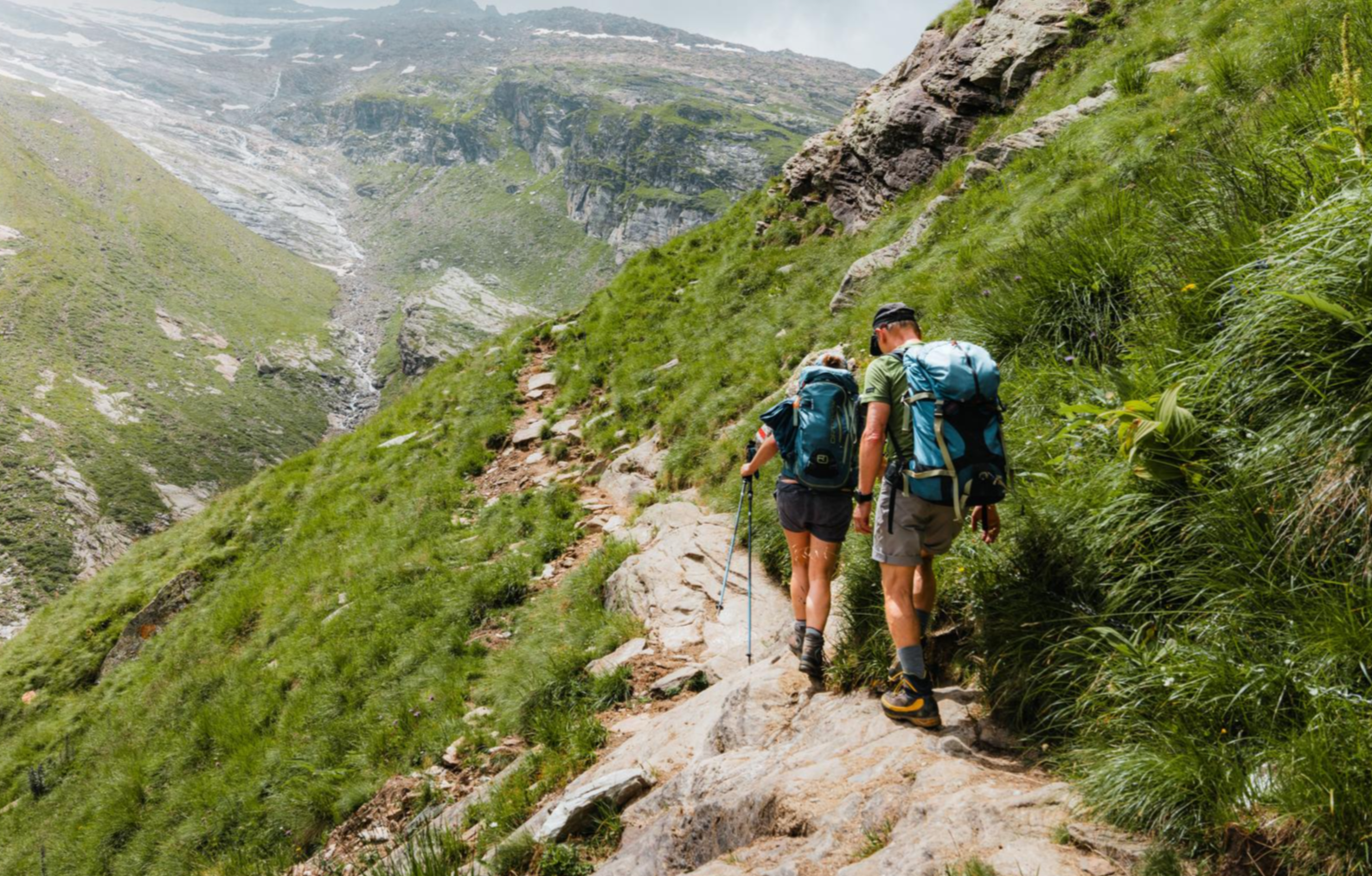
Mountain worlds and gorge magic – adventure hikes in the Viamala Region
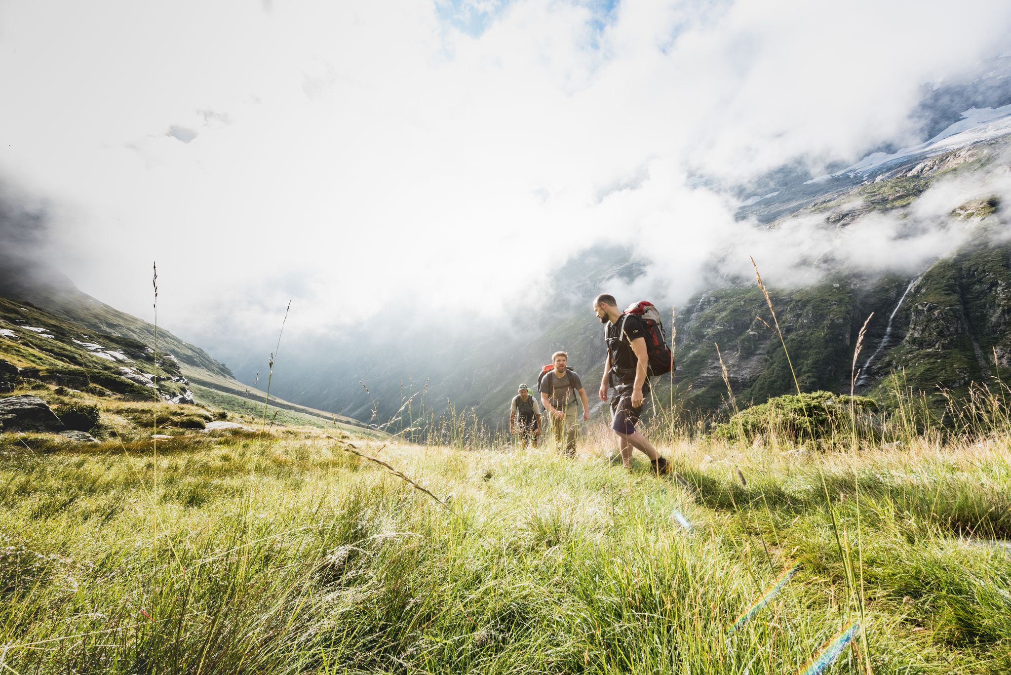
Over hill & dale – Viamala Hiking Paradise
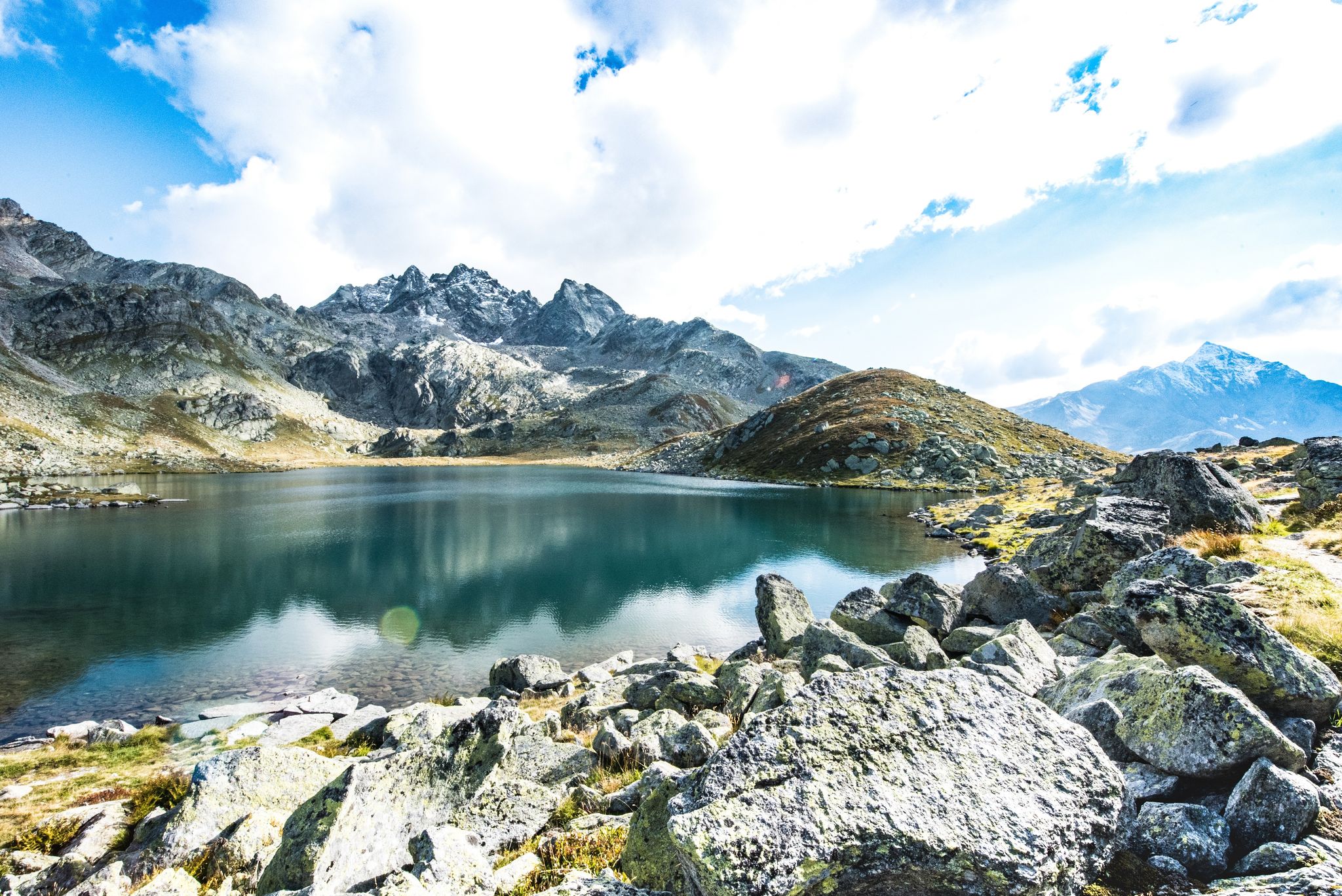
Viamala – a hiking paradise in the heart of the Grisons in Switzerland
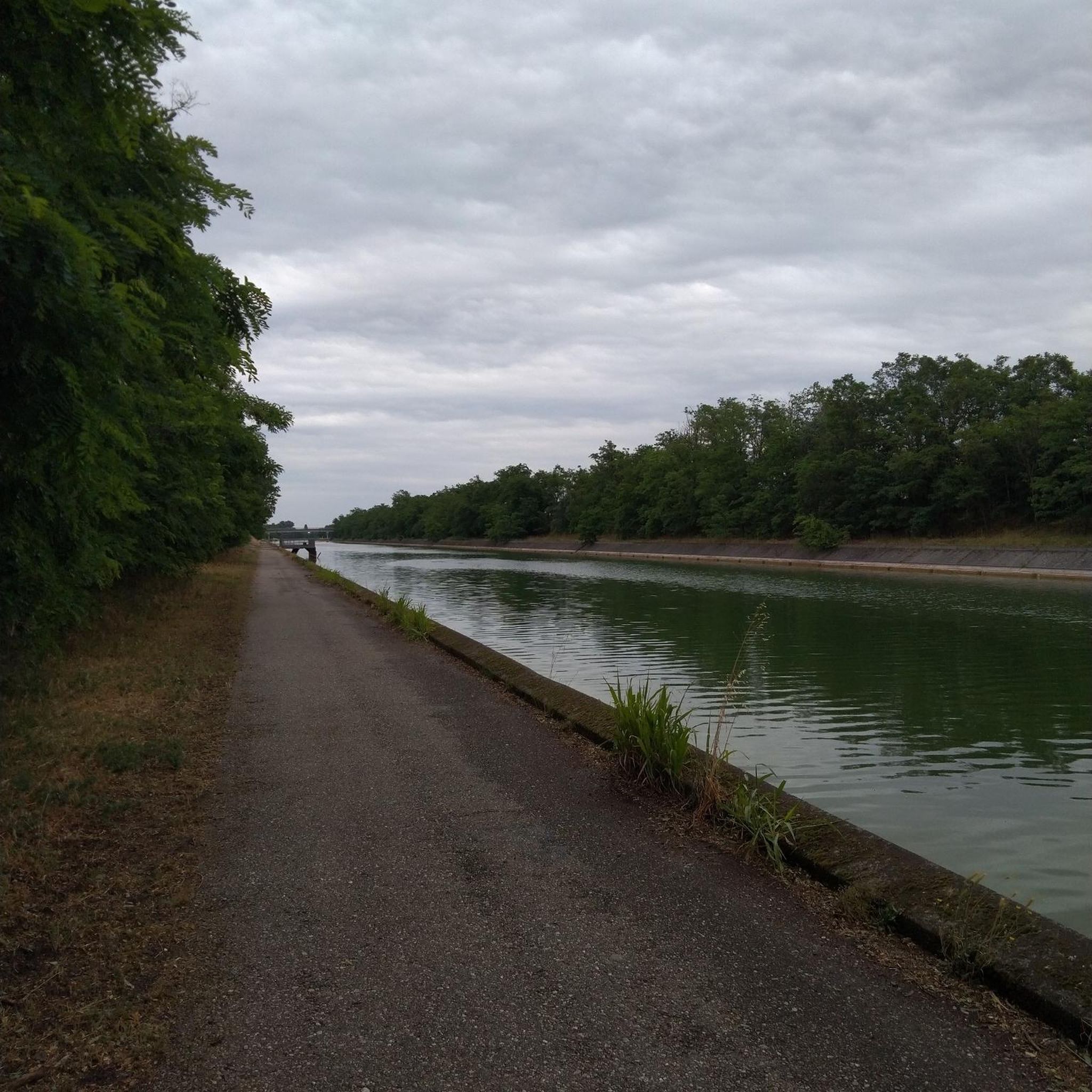
Gravel biking around Casti-Wergenstein
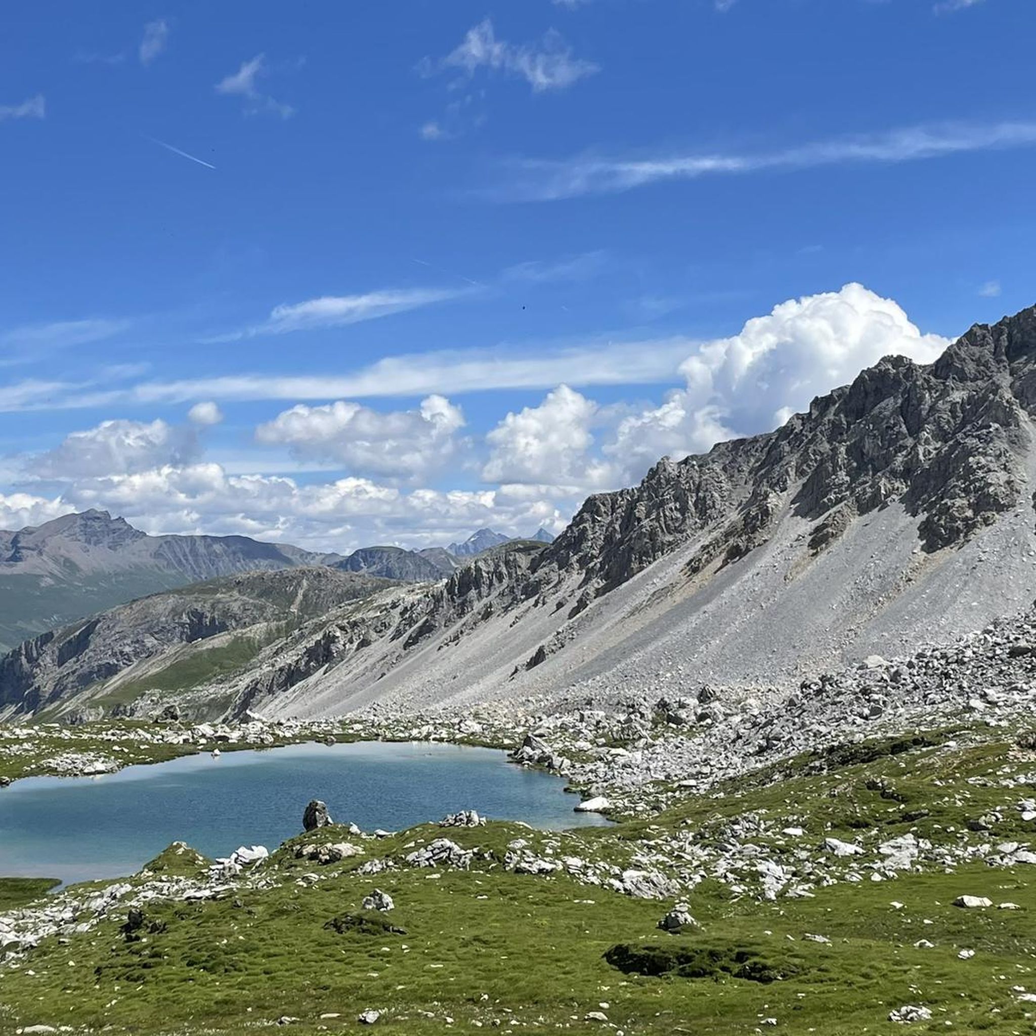
Road Cycling Routes around Casti-Wergenstein
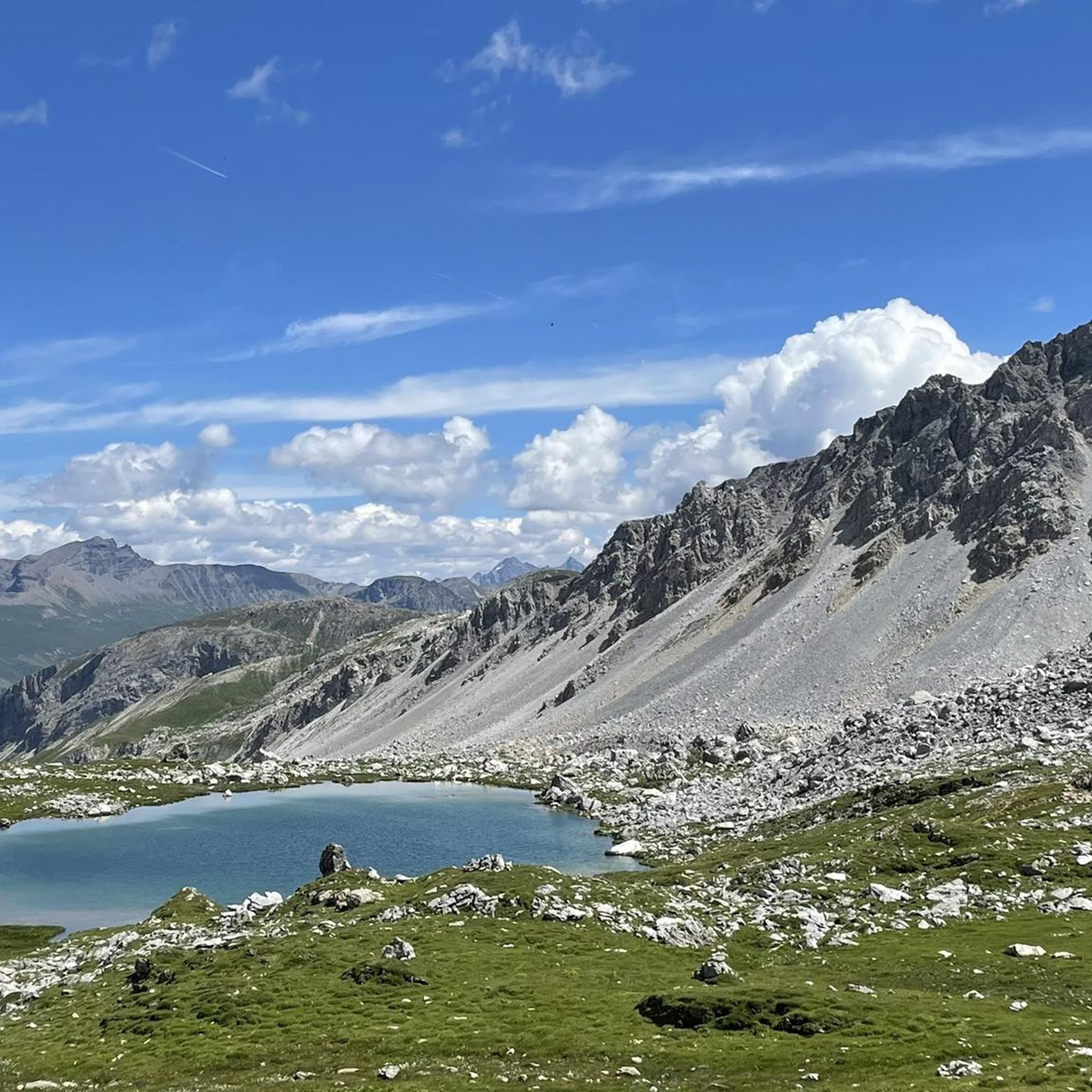
Hiking around Casti-Wergenstein
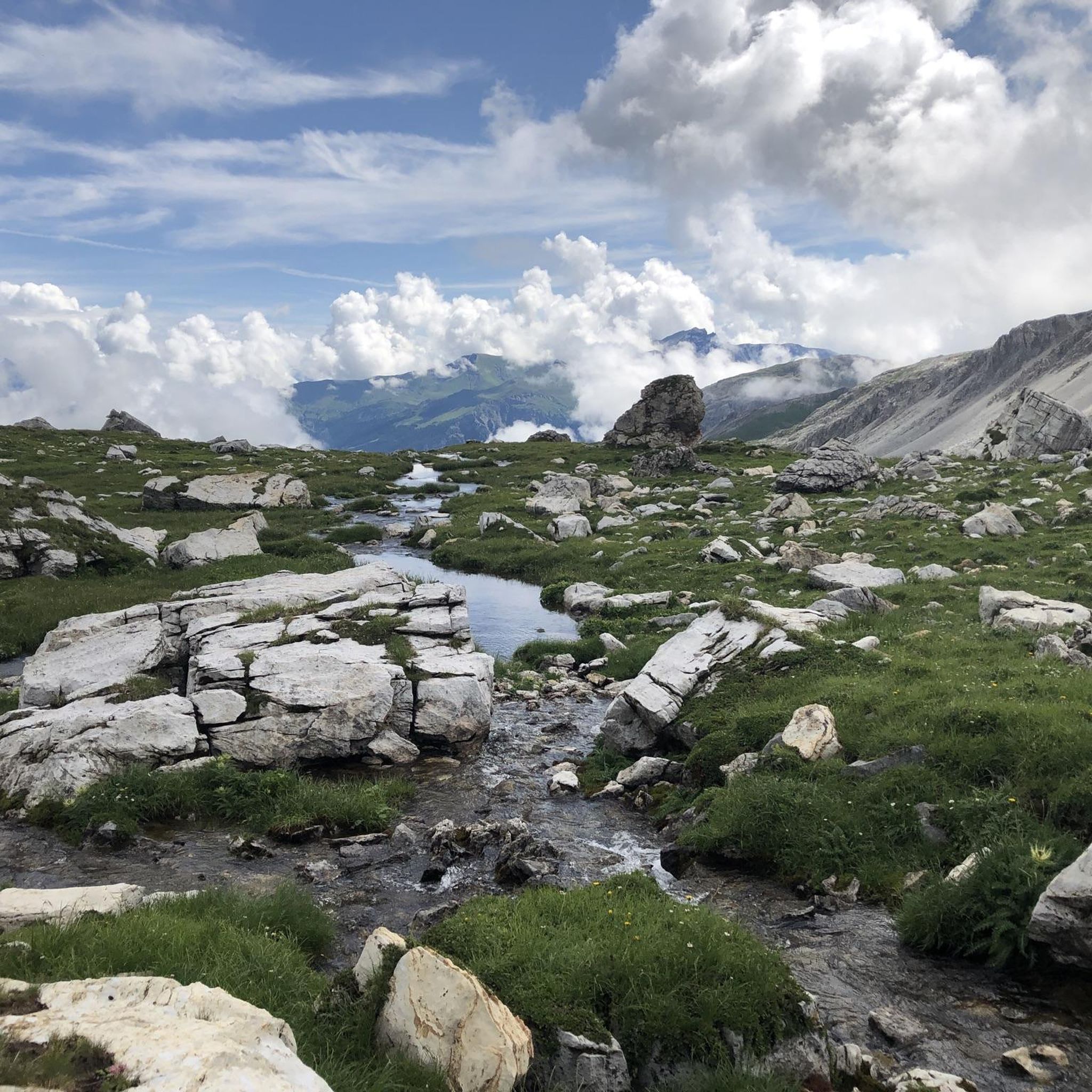
MTB Trails around Casti-Wergenstein
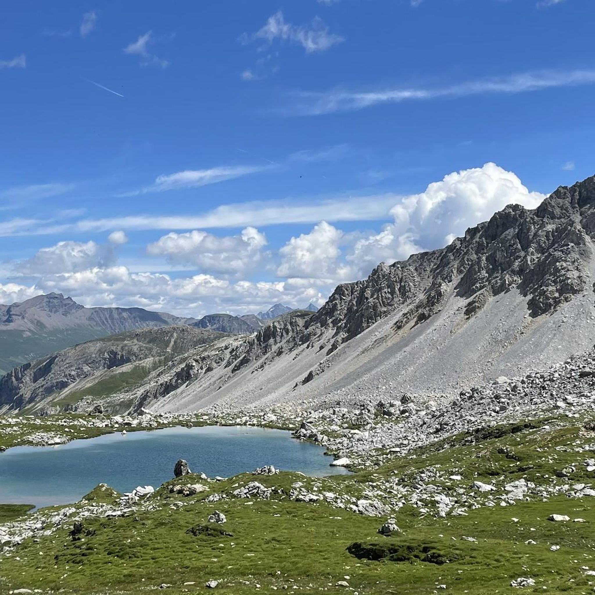
Cycling around Casti-Wergenstein
Running Trails around Casti-Wergenstein
Other adventures around Casti-Wergenstein

Tips from the Community

Be sure to leave early on weekends! It fills up quickly, and turning around (when it's full) is no fun.
0
0

Beautifully rounded summit, often crowded, wide panoramic view
0
0

The lake's location is unique; it already had 16 degrees Celsius today. A breathtaking landscape. The flora and fauna are also unique and diverse. Pure enjoyment!
0
0

An incredibly beautiful place, which we easily reached on foot from Splügen. The hut is not staffed, but can be booked for one night. Drinking water is fetched from the spring by boat... row across the upper Surettasee, enjoy the panorama, and refill your drinking water supplies at the spring... a truly adventurous experience.
0
0

The path zigzags through the forest up or down the mountain.
0
1

Next parking lot for the ascent to Piz Beverin
0
0

Mathon is located in the beautiful Viamala region and has around 50 inhabitants today. In addition to the pretty village center with its listed church, the ruins of the old St. Anthony's Church below the village are also fascinating to see.
0
0
In the small town of Wergenstein, the white church, which stands in a prime location above the valley, stands out in particular.
0
0
Frequently Asked Questions
What are the difficulty levels of mountaineering routes around Casti-Wergenstein?
Casti-Wergenstein offers a diverse range of mountaineering routes. You'll find options from moderate ascents to challenging high-altitude routes. Our guide features 1 easy, 5 moderate, and 5 difficult routes, catering to various skill levels.
Are there any challenging mountaineering routes for experienced climbers in the region?
Yes, for experienced mountaineers, the region offers several demanding routes. The Cliffside Ladder loop from Donat is a difficult 8.3-mile trail with significant elevation gain. Another challenging option is the Piz Beverin – Glaspass loop from Glaspass, which leads through high alpine passes and offers panoramic views. Piz Beverin itself, a prominent peak in the area, has routes up to T3 level, some of which are steep and exposed.
Are there any easier mountaineering routes suitable for beginners?
While many routes are moderate to difficult, there is at least one easy mountaineering route available. The Beverin Nature Park, which encompasses Casti-Wergenstein, also offers a network of well-marked hiking trails suitable for various skill levels, including easier walks that can serve as an introduction to the alpine environment.
Can I find circular mountaineering routes in Casti-Wergenstein?
Yes, several routes in the area are designed as loops, allowing you to start and end in the same location. Examples include the Cliffside Ladder loop from Donat, the Upper Suretta Lake loop from Splügen, and the Piz Beverin – Glaspass loop from Glaspass.
Are there options for long-distance or multi-day mountaineering in the area?
Absolutely. The region is home to longer trails such as the first stage from Wergenstein to the Cufercalhütte. Additionally, the three-stage viaCapricorn route allows for close contact with the Graubünden ibex within the Beverin Nature Park, offering a multi-day experience.
How can I access mountaineering routes around Casti-Wergenstein using public transport?
Public transport access varies by trailhead. Many routes, especially those starting from villages like Mathon or Glaspass, are generally accessible via local bus services within the Graubünden canton. It's advisable to check local bus schedules for specific starting points like Wergenstein or Donat to plan your journey effectively.
Is parking available near the mountaineering trailheads?
Yes, parking is generally available near many trailheads. For routes leading to Piz Beverin, for instance, you can find parking at Mursenas or the Tguma parking lot above Wergenstein, which can help shorten hiking times. Specific parking information for each route can often be found on detailed tour descriptions.
What is the best time of year for mountaineering in Casti-Wergenstein?
The best time for mountaineering typically spans from late spring to early autumn (June to October) when trails are generally free of snow and weather conditions are more stable. However, the region offers year-round activities, with winter providing opportunities for ski touring on Piz Beverin and sledding routes.
Are there options for winter mountaineering or other winter activities?
Yes, Casti-Wergenstein is also a recognized destination for winter activities. Piz Beverin is popular for ski and snowboard tours. Additionally, the area offers sledding routes, such as the one from Wergenstein to Casti-Donat, making it an appealing destination throughout the colder months.
What natural attractions or landmarks can I see along the mountaineering routes?
The region is rich in natural beauty and landmarks. You can encounter impressive features like the wild waters of the Viamala and Roffla gorges. Highlights include the stunning Lake Bischol, the historic Splügen Pass Serpentines, and the majestic North Ridge of Piz Beverin. The Beverin Nature Park itself is known for its pristine villages and crystal-clear mountain lakes.
What do other mountaineers enjoy the most about mountaineering in Casti-Wergenstein?
The area is highly rated by the komoot community, with an average score of 5.0 stars from more than 6 reviews. Mountaineers often praise the stunning alpine scenery, the diverse network of trails, and the prominent natural features like Piz Beverin. The well-maintained paths and breathtaking views of mountains and valleys are frequently highlighted.
Are there any hidden gem mountaineering routes or less-traveled paths?
While specific 'hidden gems' are often discovered through local exploration, routes like the Piz Tarantschun loop from Donat offer a challenging and rewarding experience that might be less frequented than the most popular Piz Beverin ascents. Exploring trails within the broader Beverin Nature Park can also lead to tranquil valleys and unique ecosystems away from the main crowds.
Are there any viewpoints or panoramic spots on the mountaineering routes?
Many routes in Casti-Wergenstein offer spectacular viewpoints. The summit of Piz Beverin (2,998 meters) provides panoramic views dominating the Domleschg region. Trails like the Piz Beverin – Glaspass loop from Glaspass are specifically noted for their high alpine passes and extensive vistas. The Glaser Ridge is another notable summit offering great views.
Most popular routes around Casti-Wergenstein
Most popular attractions around Casti-Wergenstein

Get inspired with the komoot mobile app


Explore more
Browse the best Mountain Hikes & Routes in other regions.
