The best mountain hikes around Avers
4.9
(5)
60
hikers
6
hikes
Mountaineering around Avers, located in the Swiss canton of Graubünden, offers a high-altitude alpine environment characterized by rugged landscapes and extensive mountain panoramas. The region features a high-altitude valley, with the Avers Rhine flowing through it, and is home to Juf, one of Europe's highest permanently inhabited villages. Mountaineering routes often traverse barren terrain, pass numerous mountain lakes, and lead to challenging alpine peaks.
Best mountaineering routes around Avers
- The most popular mountaineering route is Ascent to Piz Lunghin –…
Last updated: October 8, 2026
4.7
(3)
30
hikers
17.1km
07:45
1,030m
1,030m
Hard mountaineering route. Very good fitness required. Sure-footedness, sturdy shoes and alpine experience required.
5.0
(1)
9
hikers
10.1km
03:19
270m
270m
Moderate mountaineering route. Good fitness required. Mostly accessible paths. Sure-footedness required.

3
hikers
14.8km
06:12
960m
960m
Hard mountaineering route. Very good fitness required. Sure-footedness, sturdy shoes and alpine experience required.
4
hikers
19.2km
07:48
1,280m
1,280m
Hard mountaineering route. Very good fitness required. Sure-footedness, sturdy shoes and alpine experience required.
4
hikers
8.15km
03:49
610m
620m
Hard mountaineering route. Good fitness required. Sure-footedness, sturdy shoes and alpine experience required.
Our route recommendations are based on thousands of hikes, rides, and runs completed by other people on komoot.
Start today with a free account
Your next adventure awaits.
Popular around Avers
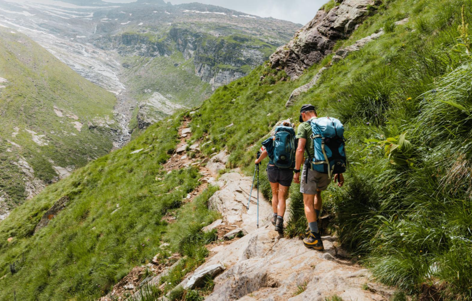
Mountain worlds and gorge magic – adventure hikes in the Viamala Region
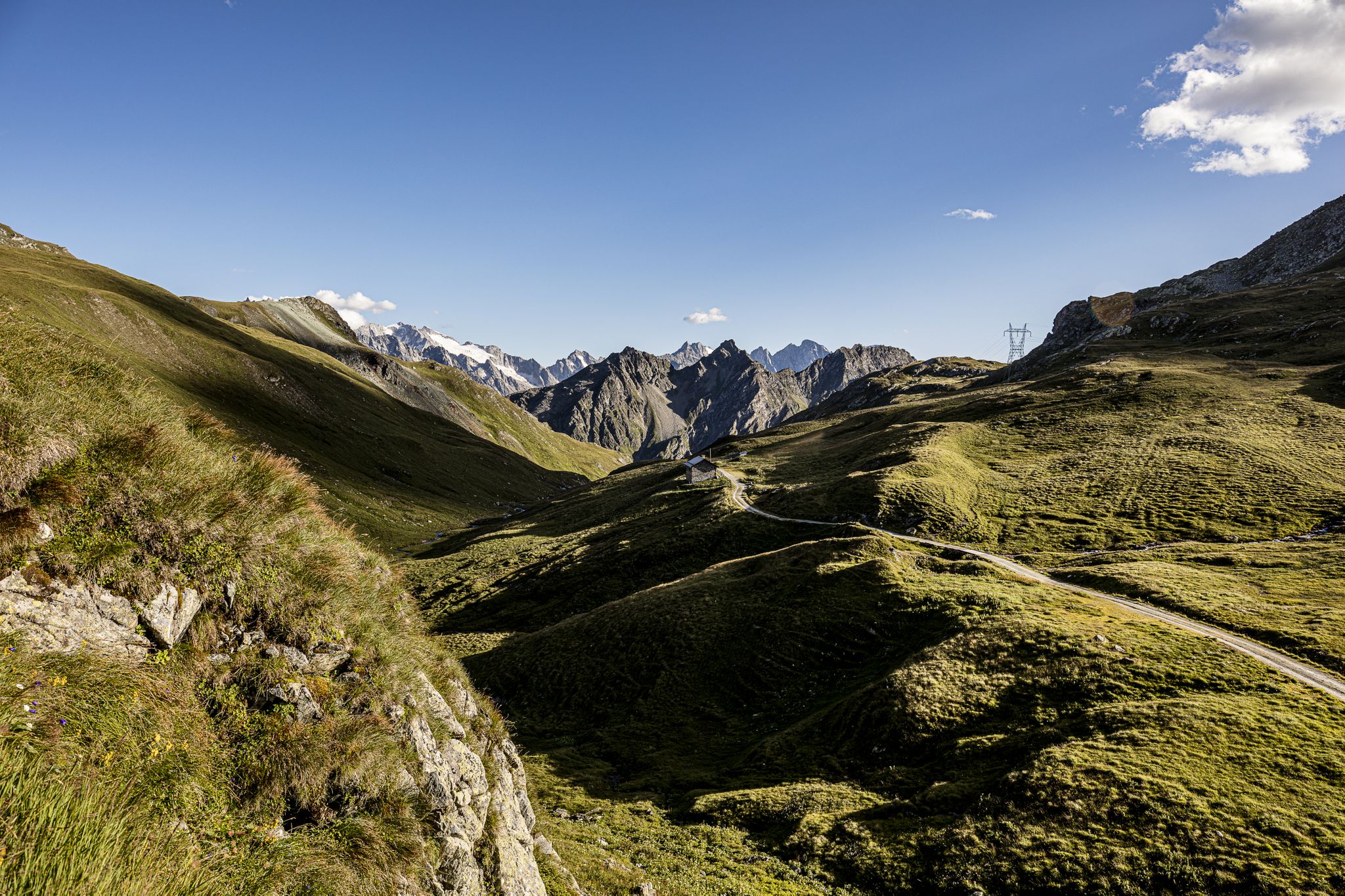
Parc Ela Trek – 17 days of trekking in the heart of Europe
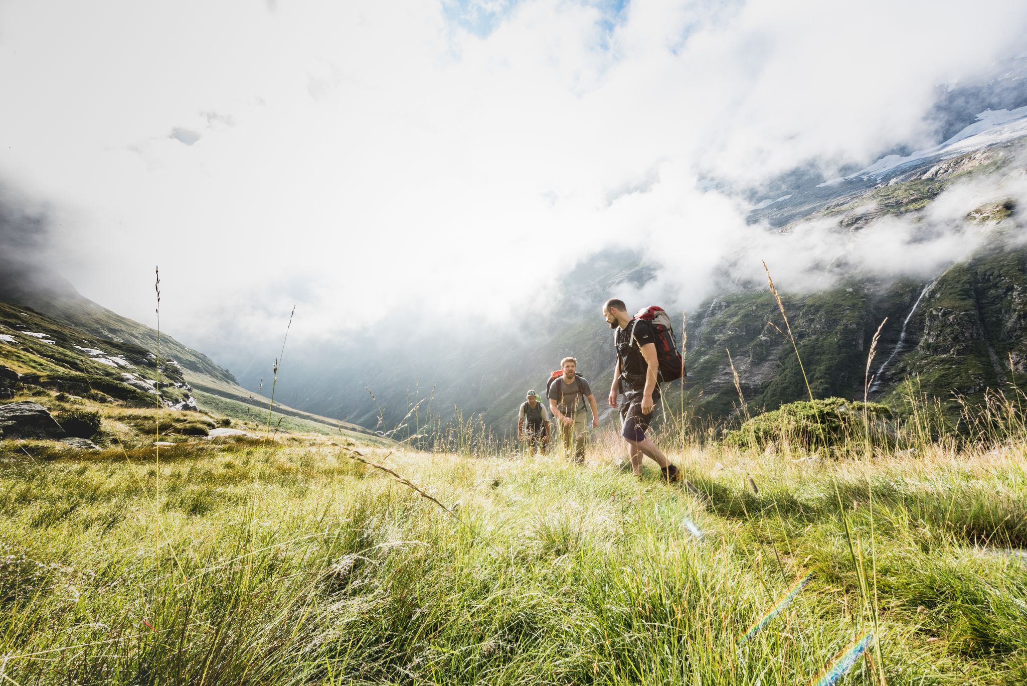
Over hill & dale – Viamala Hiking Paradise
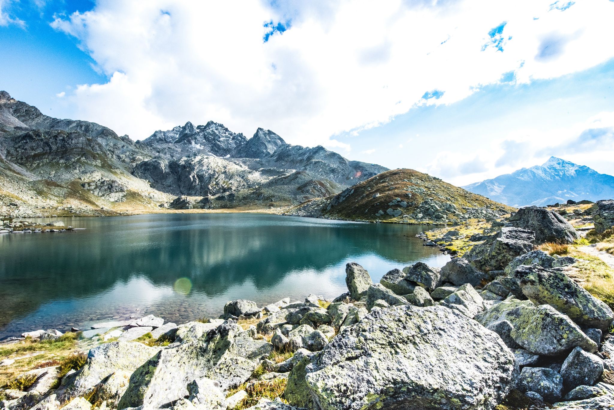
Viamala – a hiking paradise in the heart of the Grisons in Switzerland
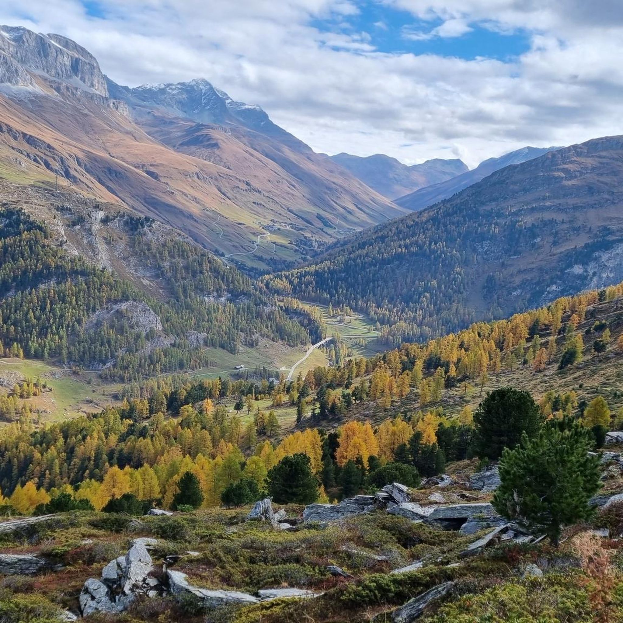
MTB Trails around Avers
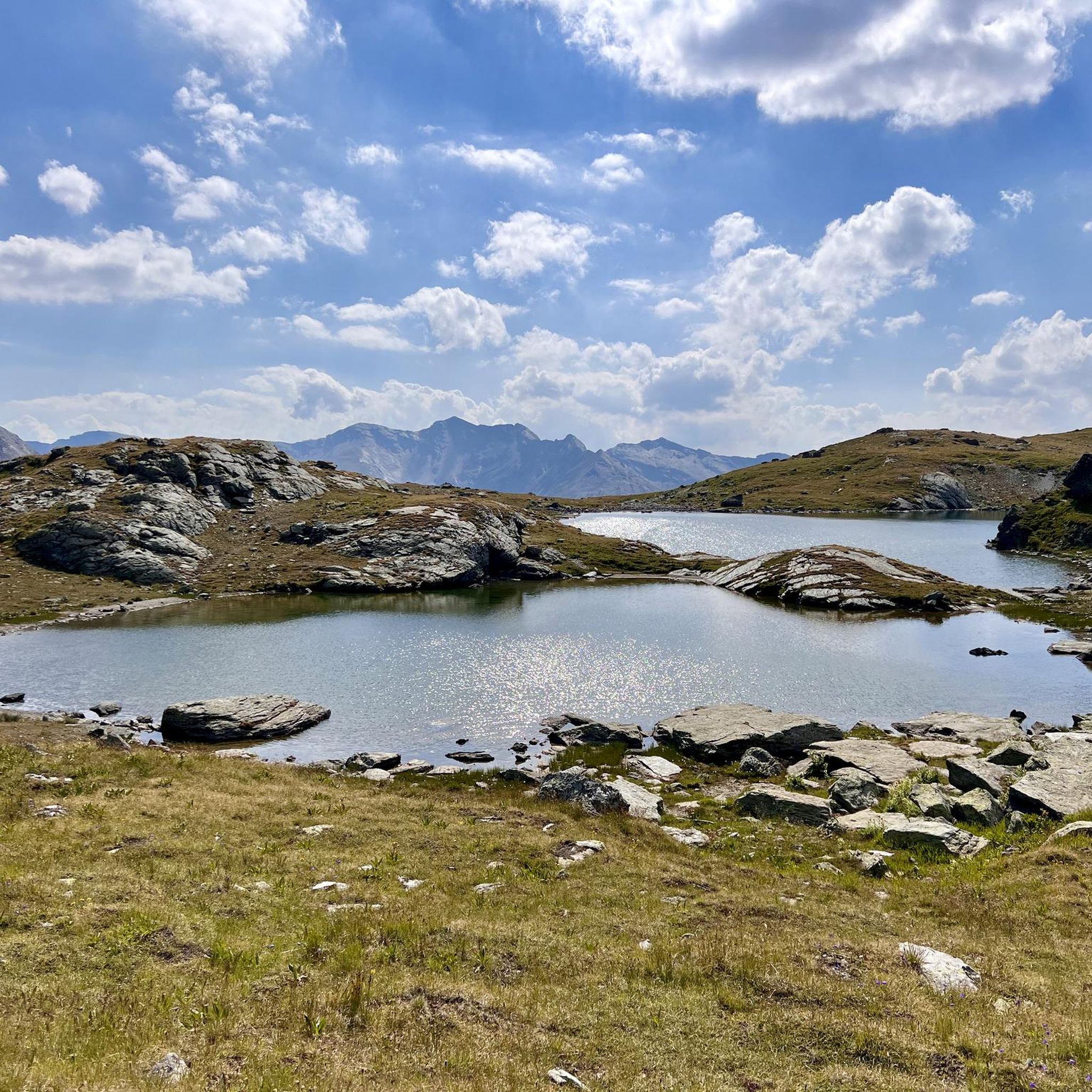
Hiking around Avers
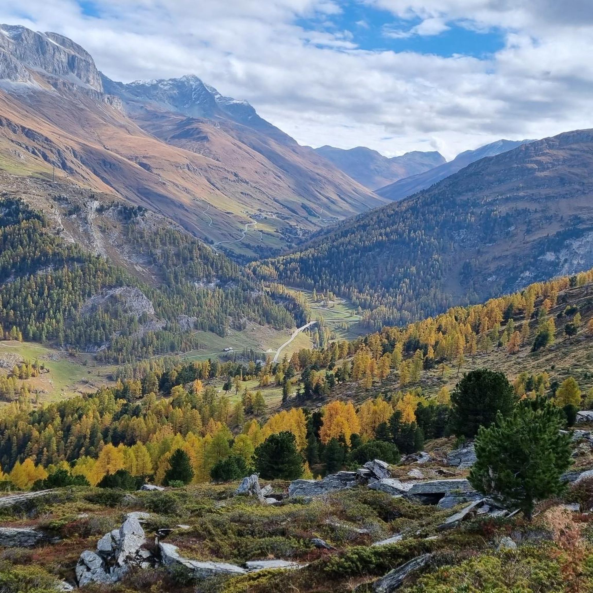
Road Cycling Routes around Avers
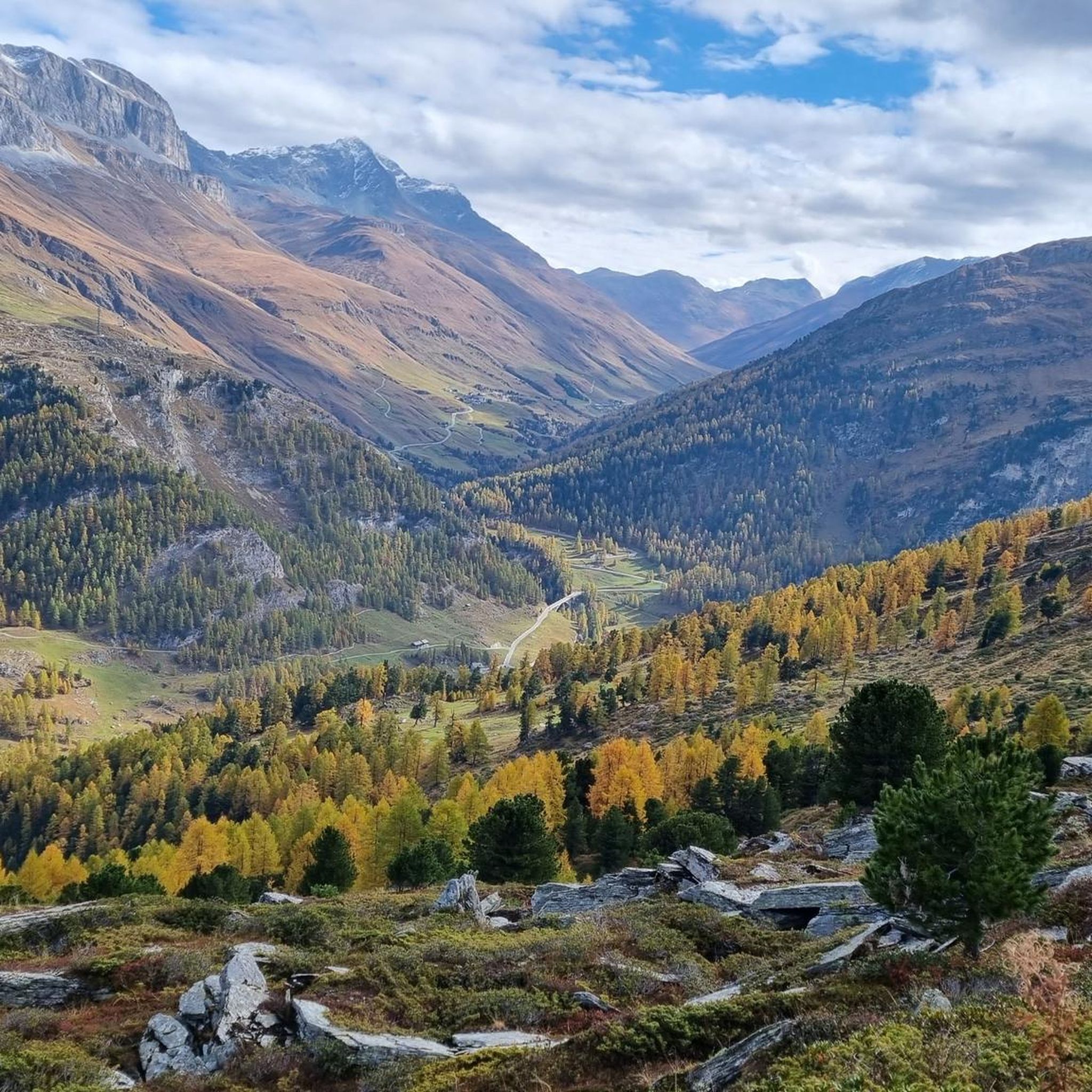
Cycling around Avers
Running Trails around Avers
Gravel biking around Avers
Other adventures around Avers


Tips from the Community


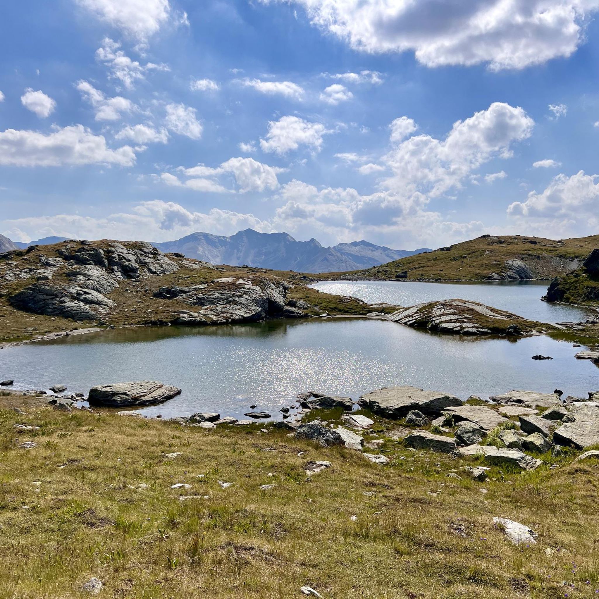
Beautiful little lake, there is also a nice viewpoint with a bench!
0
0

The 27 inhabitants of Europe's highest village apparently all live directly or indirectly from tourism. Either in gastronomy or in the agriculture that supplies it.
0
0

Bivio - Access to the Septimer and Julier Alpine Passes Bivio (German, and officially Stalla until 1902, Romansh Beiva). It lies at the foot of the Julier and Septimer Alpine Passes. Bivio is, along with Tarvisio and Luwin, the only officially Italian-speaking village north of the Alpine watershed and is considered the one in Switzerland with the greatest linguistic diversity. Bivio is located in the middle of one of Switzerland's most beautiful holiday regions: at 1,769 metres, with direct access to the Septimer and Julier Alpine Passes. Historic paths lead through the highest village in Surses – here the Romans already transported their goods. Today, holidaymakers enjoy the Alpine landscape in summer with its magnificent views, healthy climate and the play of colours of rich green and colourful flora. In addition, there are diverse opportunities for families and other guests. After all, Bivio is located in the middle of Parc Ela, Switzerland's largest nature park. This is appreciated by children eager for experiences and bike holidaymakers just as much as by all those who find relaxation on extensive hikes in the Alps. Text / Source: Graubünden Ferien, Alexanderstrasse 24, Chur https://www.graubuenden.ch/de/ausflugsziele/bivio
13
0
Bivio at 1769 m above sea level. The name Bivio means “fork in the road” and is inextricably linked with the two Roman passes, Septimer and Julier. The village of 260 inhabitants probably has the strangest linguistic situation in all of Europe, so judges a prominent scholar about Bivio, the highest village in Surses. Text / Source: Switzerland Tourism https://www.myswitzerland.com/de-ch/reiseziele/bivio/
13
0

A triple watershed is indeed something quite rare. Besides, it's simply wonderfully lonely and beautifuuuul up here
0
0

Frequently Asked Questions
What kind of terrain can I expect on mountaineering routes in Avers?
Mountaineering routes in Avers traverse a high-altitude alpine environment characterized by rugged landscapes and extensive mountain panoramas. You'll often find barren terrain, numerous mountain lakes, and challenging alpine peaks. The region is situated between 1,670 and 2,126 meters above sea level, offering a truly high-alpine experience.
What are the difficulty levels of mountaineering routes in Avers?
The mountaineering routes in Avers are generally categorized as moderate to difficult. Out of the nine available routes, three are moderate and six are difficult, catering to those seeking a challenging alpine adventure.
Are there any circular mountaineering routes in Avers?
Yes, Avers offers several circular mountaineering routes. For a challenging option, consider the Ascent to Piz Lunghin – Piz Lunghin Summit loop from Passo della Maloja - Malojapass 1815 m, which is 11.1 km long. A moderate circular route is the Lago di Cavloc loop from Maloja Pass, covering 9.6 km.
What are some notable natural features or landmarks to see along the routes?
Avers is rich in natural beauty and unique landmarks. You can visit Juf, which is Europe's highest permanently inhabited settlement. Many routes also pass by mountain lakes and offer views of significant peaks like Piz Lunghin. The Lunghin Pass — Triple Watershed is another remarkable natural feature where water flows to three different seas.
What is the best time of year for mountaineering in Avers?
Avers experiences long winters, lasting up to seven months with abundant snow and ice. While this makes it ideal for winter sports like ice climbing from November to April, the best time for mountaineering and hiking is typically during the warmer months when trails are clear of snow and ice, usually from late spring to early autumn.
Are there any family-friendly mountaineering options in Avers?
While many routes in Avers are difficult, there are moderate options that might be suitable for families with some hiking experience. The Lago di Cavloc loop from Maloja Pass is a moderate 9.6 km route that could be a good choice for active families.
What do other mountaineers say about the routes in Avers?
The mountaineering routes in Avers are highly rated by the komoot community, with an average score of 4.9 stars. Over 100 mountaineers have explored the varied terrain, often praising the challenging alpine peaks, the serene mountain lakes, and the expansive mountain vistas.
Can I reach mountaineering trailheads in Avers using public transport?
Avers is a high Alpine valley, and while specific public transport details for each trailhead are best checked locally, the region is generally accessible. Villages like Campsut, Cröt, and Cresta serve as potential starting points, and public transport options often connect to these smaller settlements.
Are there any specific passes or high points I should aim for?
Absolutely. The Maloja Pass is a significant starting point for several routes, including those leading to Piz Lunghin. The Lunghin Pass — Triple Watershed is another iconic high point, offering a unique geographical feature.
Are there any huts or shelters available along the mountaineering routes?
Yes, for longer or multi-day excursions, the Giovanni Bertacchi Mountain Hut is a notable option in the vicinity, providing a place for rest and shelter for mountaineers.
What is the highest permanently inhabited settlement in the Avers region?
The highest permanently inhabited settlement in the Avers region, and indeed in Europe, is Juf, located at 2,126 meters (6,975 feet) above sea level. It's a fascinating place to visit and often a point of interest for those exploring the valley.
Most popular attractions around Avers

Get inspired with the komoot mobile app


Explore more
Browse the best Mountain Hikes & Routes in other regions.
