The best walks and hikes around Le Creusot
4.6
(232)
1,043
hikers
86
hikes
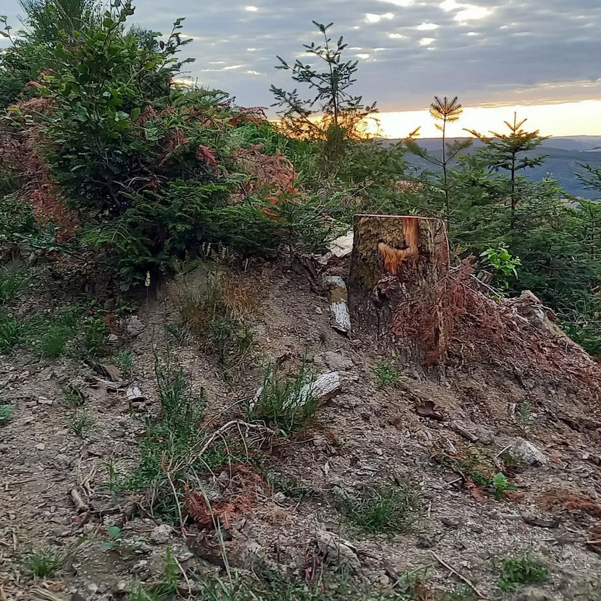
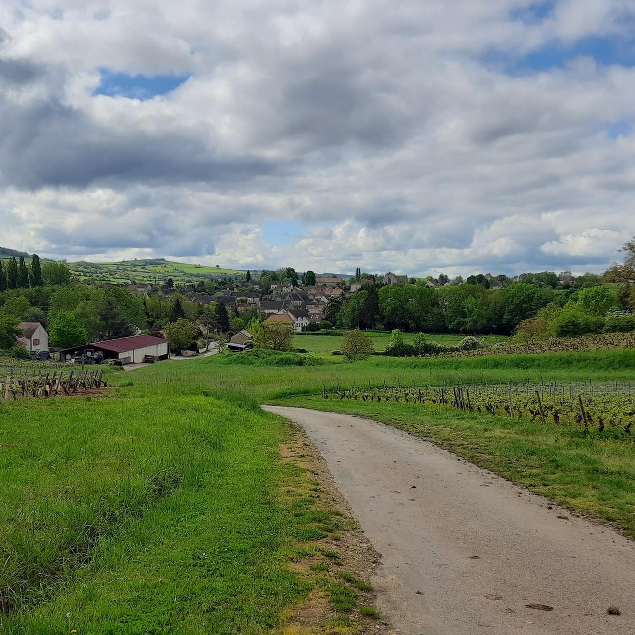
Hiking around Le Creusot offers a variety of routes through a landscape characterized by rolling hills, agricultural fields, and numerous ponds and small lakes. The region's trails often follow former railway lines or wind through local woodlands and rural areas. Hikers can expect paths that connect villages and provide views of the surrounding countryside.
Best hiking trails around Le Creusot
- The most popular hiking route is Étang Chatou – Étang Poteran loop from Montcenis, a 5.0 miles (8.0 km)…
Last updated: July 6, 2026
4.4
(5)
13
hikers
8.00km
02:16
170m
170m
Moderate hike. Good fitness required. Easily-accessible paths. Suitable for all skill levels.
4.7
(9)
9
hikers
9.49km
02:29
70m
70m
Moderate hike. Good fitness required. Easily-accessible paths. Suitable for all skill levels.

Sign up for free
6
hikers
7.07km
02:04
200m
190m
Moderate hike. Good fitness required. Easily-accessible paths. Suitable for all skill levels.
5.0
(4)
8
hikers
10.9km
03:12
300m
300m
Moderate hike. Good fitness required. Easily-accessible paths. Suitable for all skill levels.
4.0
(1)
4
hikers
9.38km
02:28
80m
80m
Moderate hike. Good fitness required. Easily-accessible paths. Suitable for all skill levels.
Get access to more routes and recommendations from other explorers.
Sign up for free
Already have an account?
Our route recommendations are based on thousands of hikes, rides, and runs completed by other people on komoot.
Start today with a free account
Your next adventure awaits.
Login or Signup


Tips from the Community

Frequently Asked Questions
How many hiking trails are available around Le Creusot?
There are over 80 hiking routes in the Le Creusot area recorded on komoot, offering a wide variety of options for different skill levels and preferences. This includes 31 easy routes, 49 moderate routes, and a few more challenging trails.
Are there easy hiking trails suitable for families in Le Creusot?
Yes, Le Creusot offers many easy trails perfect for families. For instance, the Étang de Torcy Neuf loop from Torcy is a moderate 5.9 miles (9.5 km) trail that is relatively flat, leading through parkland around a large lake, making it suitable for a pleasant family outing.
What kind of scenery can I expect on hikes around Le Creusot?
Hiking around Le Creusot features a diverse landscape of rolling hills, agricultural fields, and numerous ponds and small lakes. Many trails follow former railway lines or wind through local woodlands, offering views of the surrounding countryside and tranquil waterscapes.
Are there any circular walks in the Le Creusot area?
Yes, many of the trails around Le Creusot are circular, allowing you to start and end at the same point. A popular option is the Étang Chatou – Étang Poteran loop from Montcenis, which is 5.0 miles (8.0 km) and passes two scenic ponds.
What do other hikers enjoy most about hiking in Le Creusot?
The area is highly rated by the komoot community, with an average score of 4.6 stars from over 220 reviews. Reviewers often praise the tranquil pond-side paths, rural farm tracks, and sections through local forests, highlighting the peaceful and varied terrain.
Are dogs allowed on the hiking trails in Le Creusot?
Generally, dogs are welcome on most hiking trails in the Le Creusot region, especially in rural and woodland areas. It's always advisable to keep them on a leash, particularly near agricultural fields or protected natural areas, and to clean up after them.
Are there any longer distance walks available near Le Creusot?
While many routes are moderate in length, you can find longer options. For example, the MTB Route from Bouvier – Étang de Brandon loop from Saint-Firmin is a moderate 7.5 miles (12.1 km) trail that offers a more extended experience through the local landscape.
What are some interesting landmarks or attractions to see near the hiking trails?
Around Le Creusot, you can discover several points of interest. Consider visiting the ancient Menhirs of Époigny, or enjoy the peaceful Vauvillard Pond and Priory Ponds. The Canal Grocery in Ecuisses also offers a charming stop.
Are there any hikes that follow old railway lines?
Yes, the region's trails often incorporate former railway lines. The Chemin de fer des crouillottes loop from Le Creusot is a great example, offering a moderate 4.4 miles (7.1 km) hike that utilizes these historic paths.
What is the best time of year to go hiking in Le Creusot?
The best time to hike in Le Creusot is generally from spring to autumn (April to October) when the weather is mild and the countryside is vibrant. Summer offers warm days perfect for exploring, while spring and autumn provide comfortable temperatures and beautiful seasonal colors.
Are there any hikes that pass through rural farm landscapes?
Absolutely. Many routes in Le Creusot explore the agricultural character of the region. The Farm loop from Saint-Sernin-du-Bois is a popular moderate 5.3 miles (8.6 km) path specifically designed to showcase these rural landscapes and agricultural areas.
Most popular attractions around Le Creusot

Get inspired with the komoot mobile app


Explore more
Browse the best Hikes in other regions.
