The best running trails around Galey
3.9
(10)
1,243
runners
35
runs
Jogging routes around Galey are predominantly challenging, traversing mountainous terrain with significant elevation changes. The region is characterized by prominent summits and peaks, offering demanding running experiences. While most routes are difficult, there are also moderate options available for those seeking less intense runs.
Best jogging routes around Galey
- The most popular jogging route is Cornudère Summit loop from Fontaine de l'Ours, a 20.7 miles (33.4 km) trail that takes 5 hours 22 minutes to complete. This difficult route…
Last updated: July 2, 2026
190
runners
24.5km
03:51
1,340m
1,340m
Hard run. Very good fitness required. Sure-footedness, sturdy shoes and alpine experience required.
3.0
(1)
160
runners
33.3km
05:22
2,060m
2,070m
Hard run. Very good fitness required. Sure-footedness, sturdy shoes and alpine experience required.

Sign up for free
4.0
(2)
73
runners
12.8km
01:45
580m
580m
Hard run. Very good fitness required. Mostly paved surfaces. Suitable for all skill levels.
26
runners
18.3km
03:06
1,190m
1,190m
Hard run. Very good fitness required. Sure-footedness, sturdy shoes and alpine experience required.
18
runners
11.6km
01:58
590m
590m
Hard run. Very good fitness required. Sure-footedness, sturdy shoes and alpine experience required.
Get access to more routes and recommendations from other explorers.
Sign up for free
Already have an account?
Our route recommendations are based on thousands of hikes, rides, and runs completed by other people on komoot.
Start today with a free account
Your next adventure awaits.
Login or Signup
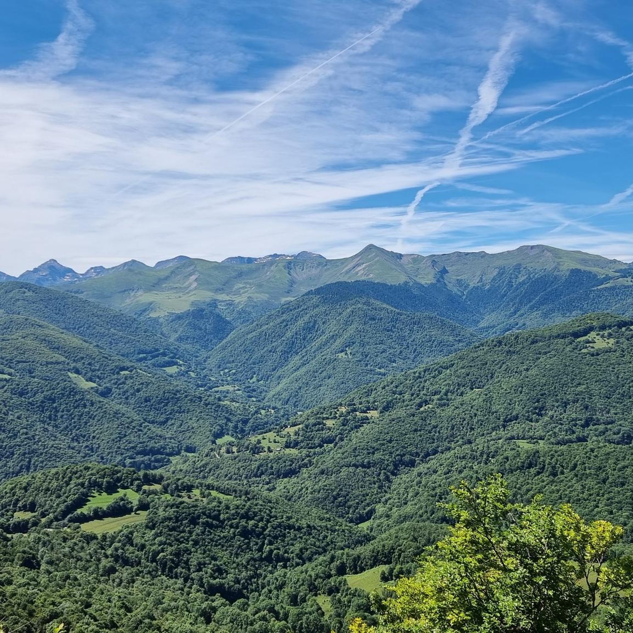
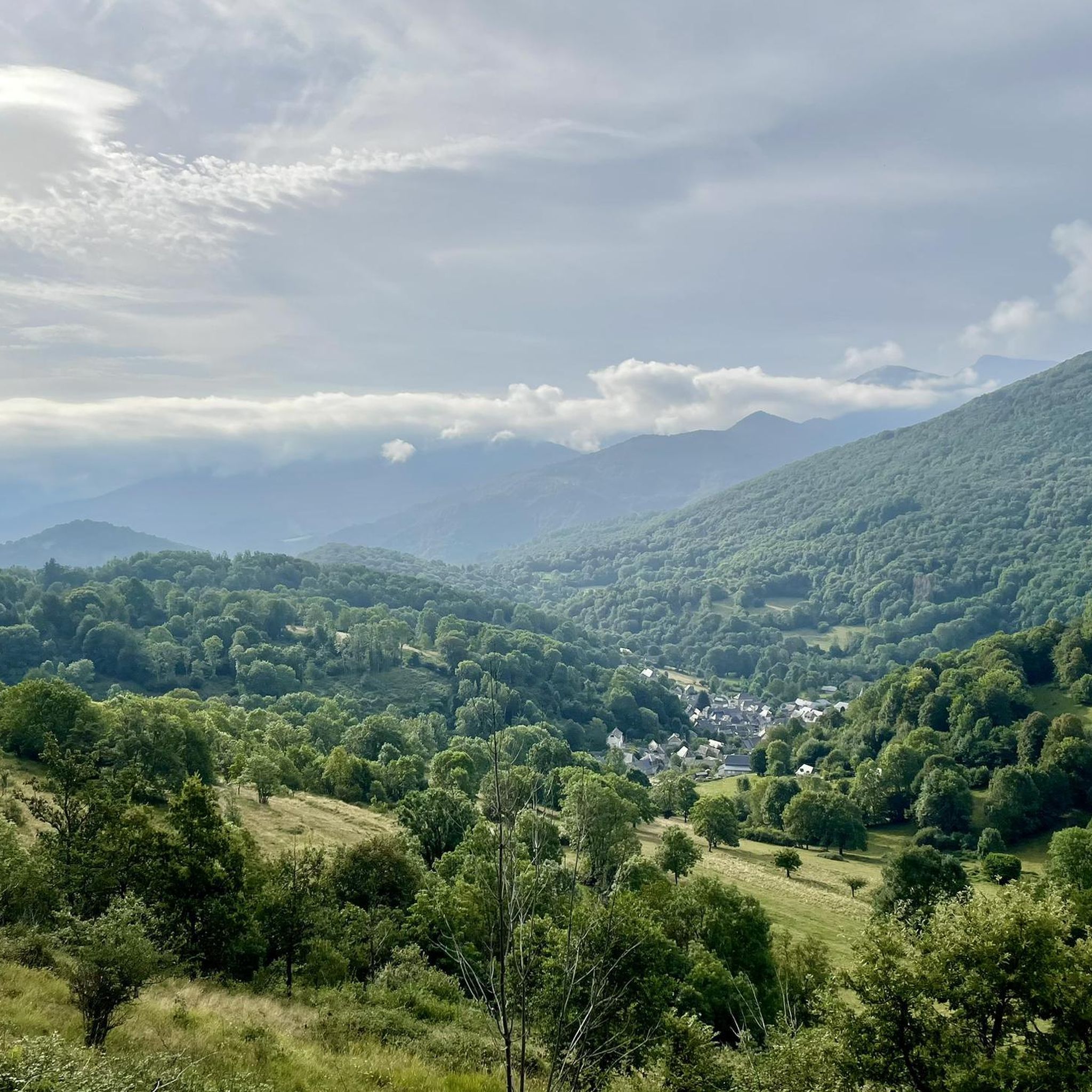
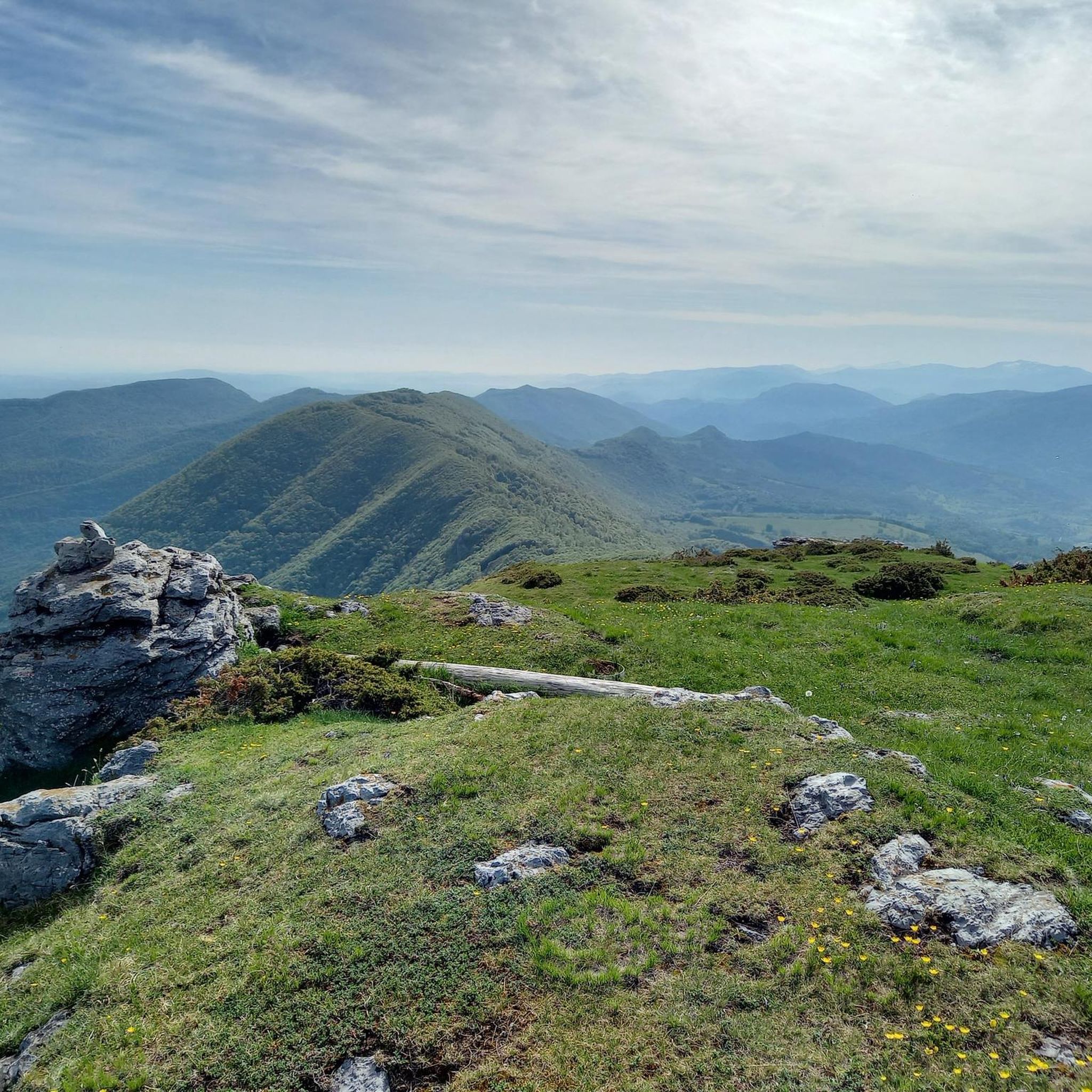
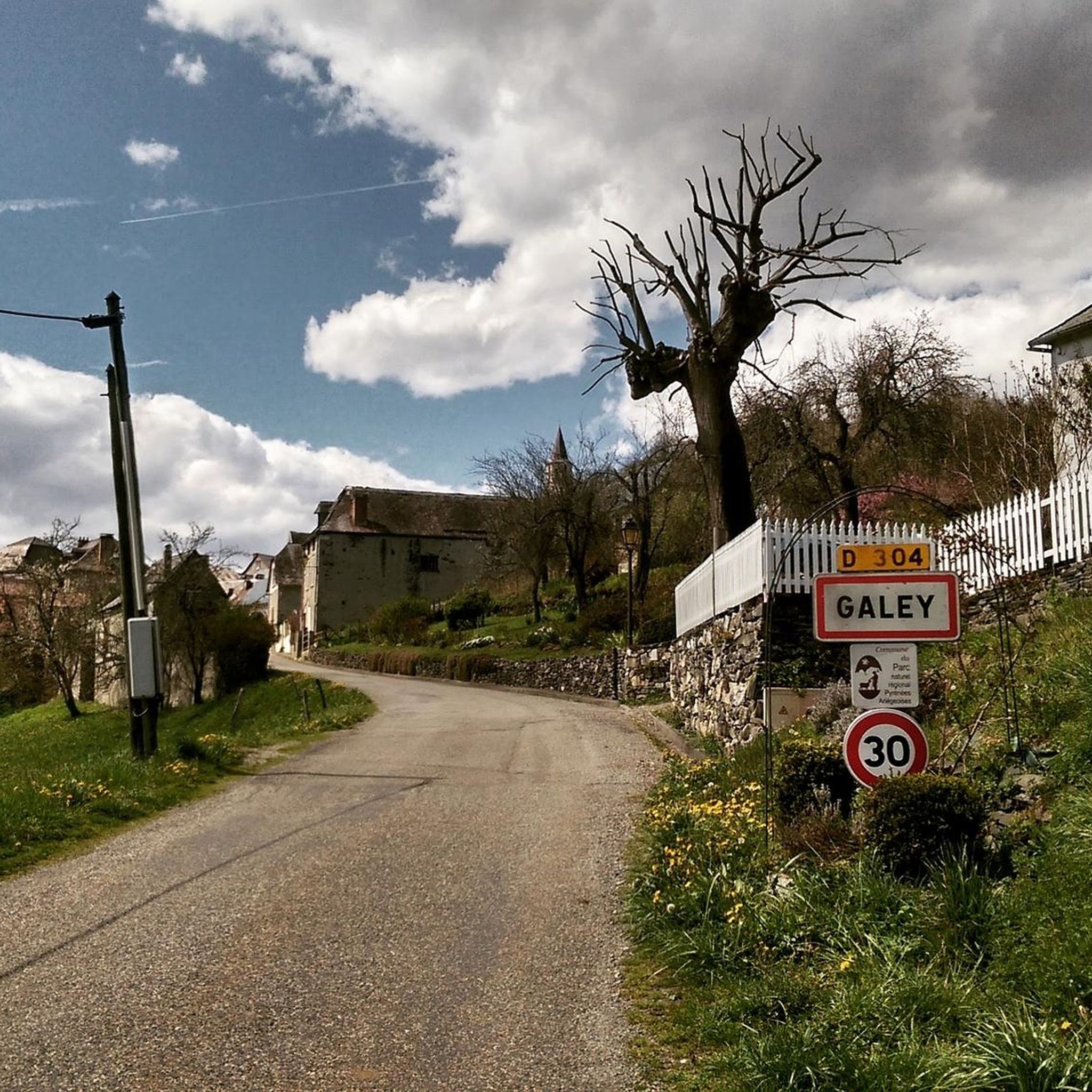

Tips from the Community

Beautiful pass of the Tour de France offering a very beautiful point of view at its summit. It can be accessed by gravel or mountain bike in two different ways and also left in two different ways without going through the tarmac ...
1
1
Superb and very picturesque village. Don't miss the detour via the Calvary path to its chapel.
0
0

Nice panorama before the climb to the Peak!
0
0

Popular with cyclists, the Portet-d'Aspet pass peaks at an altitude of 1,069 meters between the Ger and Bouigane valleys.
1
0

Mythical pass marked several times by the Tour de France. The panorama is remarkable!
1
0

A fairly gentle pass coming from Saint-Girons. The other side seems more difficult.
1
0

Quite a demanding pass, approach from the east, exit to the west. More information: https://www.quaeldich.de/paesse/col-de-portet-d-aspet/
3
0
The Portet-d'Aspet pass culminates at an altitude of 1,069 meters between the Ger and Bouigane valleys. Its ascent from the village of Aspet is 14.3 kilometers long with an average gradient of 4.2%. Until the Oule bridge the road remains relatively easy before really rising over the last kilometers with several passages at more than 13%.
2
1
Frequently Asked Questions
How many running routes are available around Galey?
There are over 45 dedicated running routes in the Galey area, offering a wide range of experiences for trail runners. The region is known for its challenging mountain terrain.
What is the general difficulty level of running trails in Galey?
The running trails around Galey are predominantly challenging, with 38 routes classified as difficult. However, there are also 9 moderate options available for those seeking less intense runs, often featuring significant elevation changes.
Are there any easier running options in Galey for beginners?
While most routes are difficult, Galey does offer 9 moderate running trails. These routes still involve elevation changes typical of mountainous terrain but are less demanding than the expert-level paths, making them suitable for runners looking for a less intense experience.
Are there any circular running routes in the Galey area?
Yes, many of the running routes in Galey are designed as loops, offering extensive circular experiences through varied mountain landscapes. For example, the Cornudère Summit loop from Fontaine de l'Ours is a popular choice, as is the Cornudère Summit loop from Portet-d'Aspet.
What kind of terrain can I expect on running trails near Galey?
Runners in Galey can expect mountainous terrain characterized by prominent summits, peaks, and significant elevation changes. The trails often involve challenging ascents and descents, providing a demanding yet rewarding experience through high mountain passes and varied landscapes.
Are there any running routes that offer great viewpoints?
Given the mountainous nature of Galey, many running routes naturally offer spectacular viewpoints from prominent summits and peaks. Trails leading to areas like Pic de Cagire or traversing mountain passes such as Portet-d'Aspet pass provide expansive vistas of the surrounding Pyrenees.
What interesting sights or landmarks can I see while running near Galey?
Along the running routes near Galey, you can encounter several notable landmarks and natural features. These include significant mountain passes like Portet-d'Aspet pass and Col de Larrieu (704 m). You might also pass by the Fabio Casartelli Memorial, a poignant monument in the region.
Is Galey suitable for dog-friendly running?
Many mountain trails in the Galey region are generally dog-friendly, but it's always advisable to keep your dog on a leash, especially in areas with livestock or wildlife. Be prepared for varied terrain and ensure your dog is fit for significant elevation changes.
What is the best time of year for running in Galey?
The best time for running in Galey is typically from late spring through early autumn (May to October) when the weather is milder and trails are clear of snow. Summer offers warmer temperatures, but higher elevations can still be cool. Always check local weather conditions before heading out.
What should I wear for running in Galey, considering the weather?
Due to the mountainous terrain and potential for rapid weather changes, layering is key. Wear moisture-wicking base layers, an insulating mid-layer, and a waterproof/windproof outer shell. Sturdy trail running shoes with good grip are essential for the varied surfaces and elevation changes.
What do other runners say about the trails in Galey?
The running trails in Galey are highly rated by the komoot community, with an average score of 3.9 stars from over 10 reviews. Runners often praise the challenging ascents, the stunning mountain scenery, and the extensive loop routes that provide a true high-mountain running experience.
Are there options for public transport access to running trails in Galey?
Public transport options directly to trailheads in the mountainous Galey region can be limited. It's recommended to research local bus services to nearby villages or consider driving to access the starting points of many routes.
Are there parking facilities available near the running trailheads?
Parking availability varies by trailhead in Galey. Many popular starting points, especially in villages like Fontaine de l'Ours or Portet-d'Aspet, will have designated parking areas. However, for more remote trails, roadside parking might be the only option. Always check specific route details on komoot for parking information.
Most popular attractions around Galey

Get inspired with the komoot mobile app


Explore more
Browse the best Running Trails & Routes in other regions.
