The best running trails around Saint-Jean-Du-Castillonnais
4.2
(10)
936
runners
41
runs
Jogging routes around Saint-Jean-Du-Castillonnais are set within the Ariège department of the Occitanie region, characterized by the foothills of the Pyrenees. The area features a diverse topography, including ancient beech and fir forests, alpine meadows, and river valleys. Varied elevations provide both gentle slopes and more demanding ascents for runners.
Best jogging routes around Saint-Jean-Du-Castillonnais
- The most popular jogging route is Cornudère Summit loop from Arbas, a 15.3 miles (24.6 km) trail that takes 3 hours 51 minutes to…
Last updated: November 3, 2026
230
runners
24.5km
03:51
1,340m
1,340m
Hard run. Very good fitness required. Sure-footedness, sturdy shoes and alpine experience required.
3.0
(1)
190
runners
33.3km
05:22
2,060m
2,070m
Hard run. Very good fitness required. Sure-footedness, sturdy shoes and alpine experience required.

4.0
(2)
67
runners
11.5km
01:37
560m
560m
Hard run. Very good fitness required. Mostly paved surfaces.
23
runners
23.9km
03:32
1,200m
1,200m
Hard run. Very good fitness required. Sure-footedness, sturdy shoes and alpine experience required.
21
runners
11.6km
01:58
590m
590m
Hard run. Very good fitness required. Sure-footedness, sturdy shoes and alpine experience required.
Get access to more routes and recommendations from other explorers.
Already have an account?
Our route recommendations are based on thousands of hikes, rides, and runs completed by other people on komoot.
Start today with a free account
Your next adventure awaits.


Tips from the Community

Beautiful pass of the Tour de France offering a very beautiful point of view at its summit. It can be accessed by gravel or mountain bike in two different ways and also left in two different ways without going through the tarmac ...
1
1
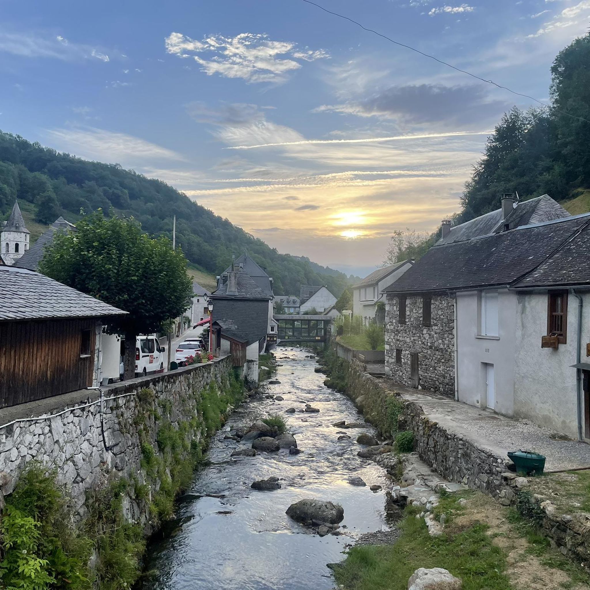
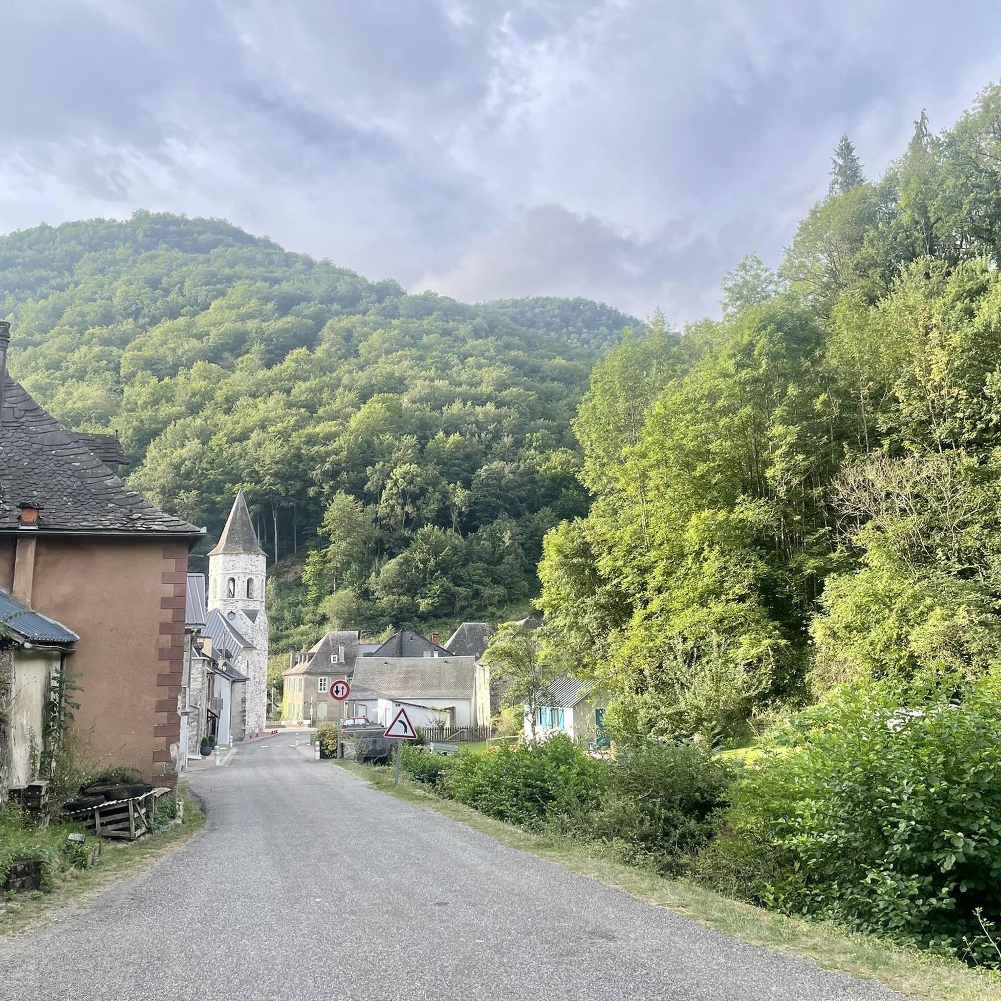
Superb and very picturesque village. Don't miss the detour via the Calvary path to its chapel.
0
0

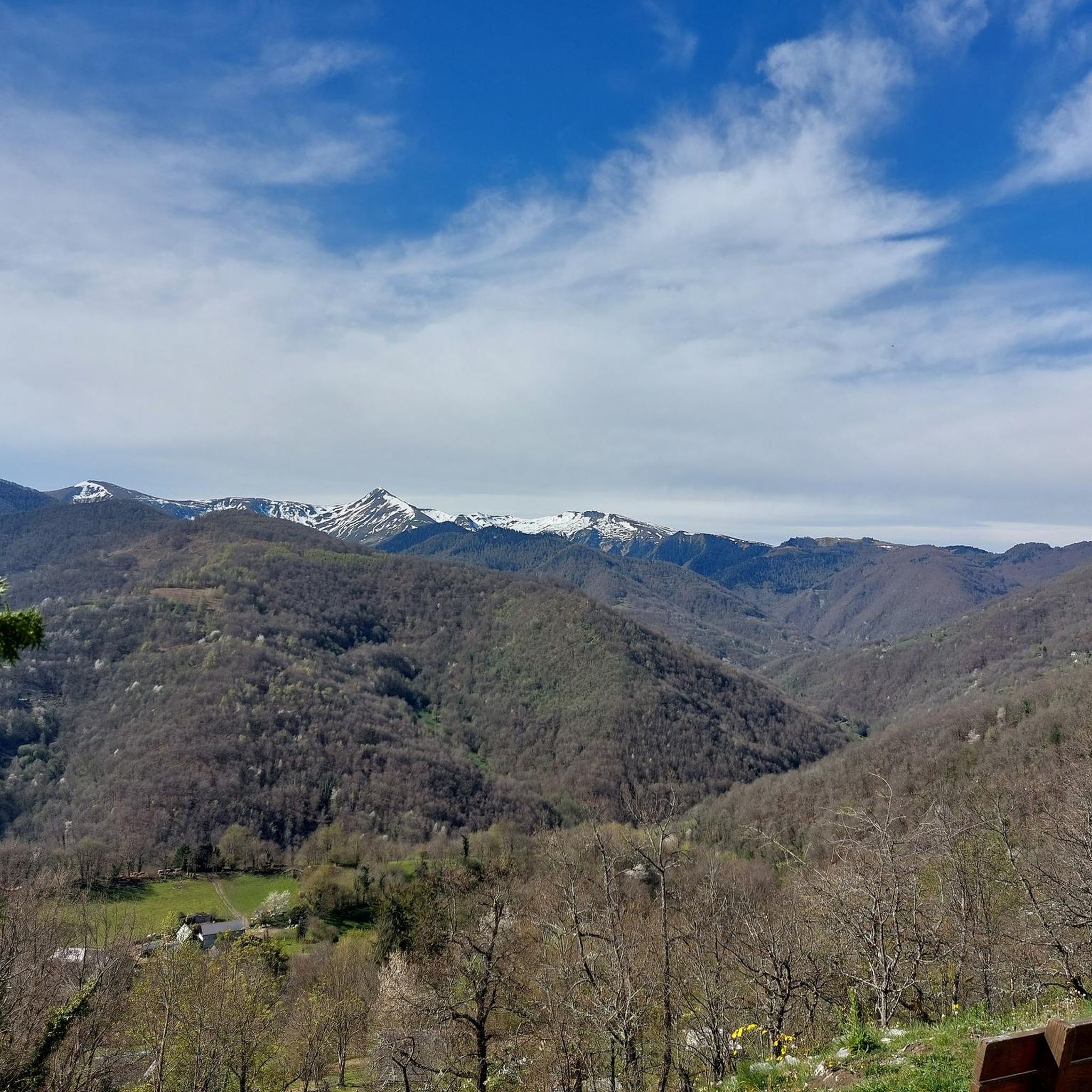
Nice panorama before the climb to the Peak!
0
0

Popular with cyclists, the Portet-d'Aspet pass peaks at an altitude of 1,069 meters between the Ger and Bouigane valleys.
1
0

Mythical pass marked several times by the Tour de France. The panorama is remarkable!
1
0

A fairly gentle pass coming from Saint-Girons. The other side seems more difficult.
1
0

Quite a demanding pass, approach from the east, exit to the west. More information: https://www.quaeldich.de/paesse/col-de-portet-d-aspet/
3
0
The Portet-d'Aspet pass culminates at an altitude of 1,069 meters between the Ger and Bouigane valleys. Its ascent from the village of Aspet is 14.3 kilometers long with an average gradient of 4.2%. Until the Oule bridge the road remains relatively easy before really rising over the last kilometers with several passages at more than 13%.
2
1
Frequently Asked Questions
How many running routes are available around Saint-Jean-Du-Castillonnais?
There are over 50 running routes around Saint-Jean-Du-Castillonnais listed on komoot. These routes offer a diverse range of experiences, from easier jogs to very challenging mountain runs, catering to various fitness levels.
Are there easy running routes suitable for beginners or families?
Yes, while many routes in the region are challenging, there are a few easier options available. These typically feature less elevation gain and shorter distances, perfect for a relaxed jog or a family outing. Look for routes marked as 'easy' in the guide.
Where can I find more challenging running trails in the area?
The region around Saint-Jean-Du-Castillonnais, particularly within the broader Couserans area, is renowned for its challenging terrain. You'll find over 40 difficult running routes, often featuring significant elevation changes and longer distances. For example, the Cornudère Summit loop from Fontaine de l'Ours offers a substantial challenge with over 2000m of elevation gain.
What kind of landscapes and natural features will I encounter on these runs?
Running around Saint-Jean-Du-Castillonnais offers stunning natural beauty. You'll jog through ancient beech and fir forests, cross vibrant alpine meadows, and enjoy breathtaking views of the majestic Ariège Pyrenees. The varied elevations provide dynamic backdrops, from tranquil river valleys to demanding mountain ascents.
Are there any specific landmarks or points of interest to look out for along the running routes?
Yes, the area is rich with interesting sights. You might pass by significant mountain passes like the Portet-d'Aspet pass or the Col de Larrieu (704 m). Some routes also offer glimpses of charming villages and historical markers, such as the Fabio Casartelli Memorial.
Can I find circular running routes around Saint-Jean-Du-Castillonnais?
Many of the running routes in this region are designed as circular loops, allowing you to start and finish at the same point without needing to retrace your steps. Examples include the challenging Cornudère Summit loop from Arbas or the Tuc des Teches – Cap de Mourens loop from Arbas.
Is the Saint-Jean-Du-Castillonnais area suitable for trail running?
Absolutely! The broader Couserans area, which includes Saint-Jean-Du-Castillonnais, is recognized as a prime location for trail running. It features many marked trails and even a dedicated "Trail© Station" in nearby Aulus-les-Bains, offering various routes and facilities for trail runners. You can find more information on the official tourism site: tourisme-couserans-pyrenees.com.
What is the best time of year to go running in this region?
The spring and autumn months are particularly beautiful for running in Saint-Jean-Du-Castillonnais. Spring brings vibrant wildflowers to the alpine meadows, while autumn transforms the forests with golden and crimson hues. Summer offers warmer conditions, but higher elevations can provide cooler air. Winter running is possible but requires appropriate gear and awareness of snow conditions in the Pyrenees.
Are the running trails around Saint-Jean-Du-Castillonnais dog-friendly?
Many natural trails in the Ariège Pyrenees Regional Nature Park are generally dog-friendly, especially if your dog is well-behaved and kept on a leash to protect local wildlife and livestock. Always check specific route regulations or local signage, as some protected areas might have restrictions.
What are the parking options for accessing these running routes?
Parking is generally available in or near the starting points of many routes, especially in villages like Arbas or Audressein. For routes starting in more remote areas, you might find designated small parking lots or roadside pull-offs. It's always a good idea to check the route details on komoot for specific parking information.
What do other runners enjoy the most about jogging in Saint-Jean-Du-Castillonnais?
The area is highly rated by the komoot community, with an average score of 4.1 stars. Reviewers often praise the stunning natural landscapes, the tranquility of the forests, and the rewarding challenge of the mountain trails. Many appreciate the diverse terrain that keeps runs interesting and the opportunity to explore the pristine Pyrenean environment.
Most popular routes around Saint-Jean-Du-Castillonnais
Most popular attractions around Saint-Jean-Du-Castillonnais

Get inspired with the komoot mobile app


Explore more
Browse the best Running Trails & Routes in other regions.
