The best running trails around Aucazein
4.1
(9)
807
runners
44
runs
Jogging routes around Aucazein are situated in the Ariège department of France's Occitanie region, nestled in the foothills of the Pyrenees. The area offers access to diverse natural landscapes, including dense forests, ridge lines, and varied terrain. Runners can expect mountain views and paths ranging from mostly paved surfaces to more challenging, rocky trails. The region is also home to natural parks, providing pristine environments for outdoor activities.
Best jogging routes around Aucazein
- The most popular jogging route is Riviere…
Last updated: July 4, 2026
35
runners
15.9km
02:44
1,080m
1,080m
Hard run. Very good fitness required. Sure-footedness, sturdy shoes and alpine experience required.
11
runners
22.0km
03:25
1,210m
1,210m
Hard run. Very good fitness required. Sure-footedness, sturdy shoes and alpine experience required.

Sign up for free
4.0
(1)
9
runners
14.2km
01:39
310m
310m
Hard run. Very good fitness required. Mostly paved surfaces. Suitable for all skill levels.
10
runners
12.5km
02:35
860m
860m
Hard run. Very good fitness required. Sure-footedness, sturdy shoes and alpine experience required.
3.5
(2)
12
runners
12.2km
01:50
610m
610m
Hard run. Very good fitness required. Mostly paved surfaces. Suitable for all skill levels.
Get access to more routes and recommendations from other explorers.
Sign up for free
Already have an account?
Our route recommendations are based on thousands of hikes, rides, and runs completed by other people on komoot.
Start today with a free account
Your next adventure awaits.
Login or Signup
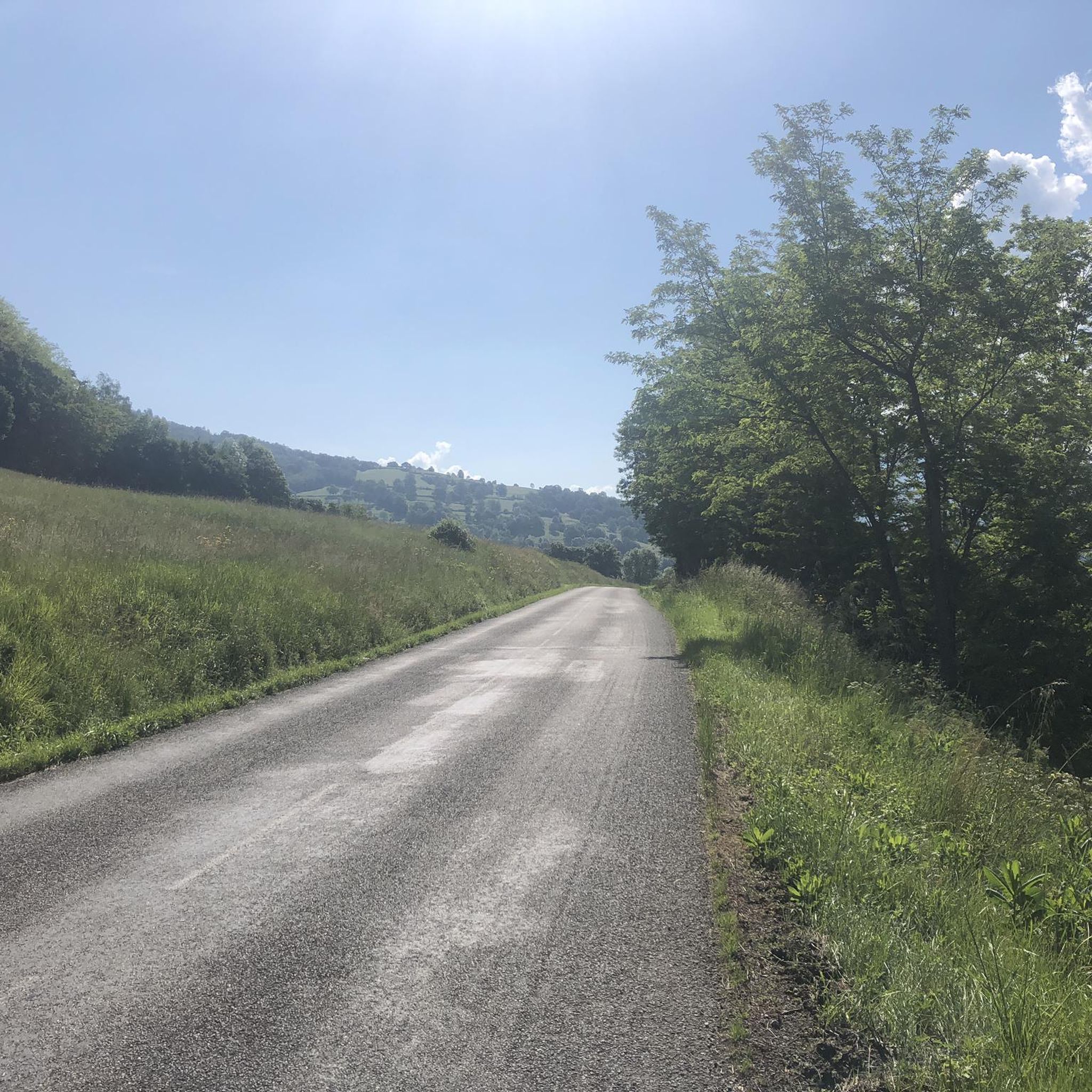
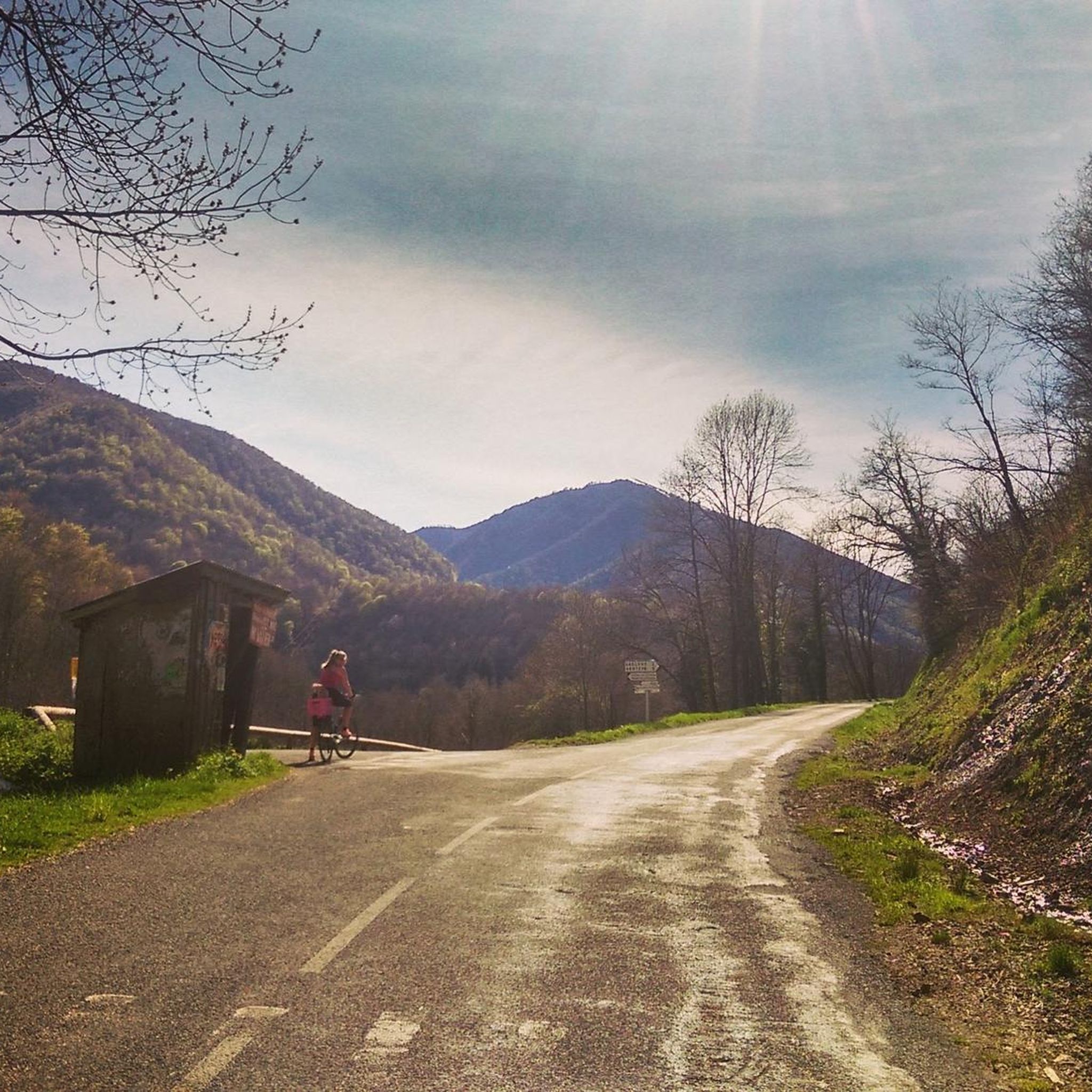
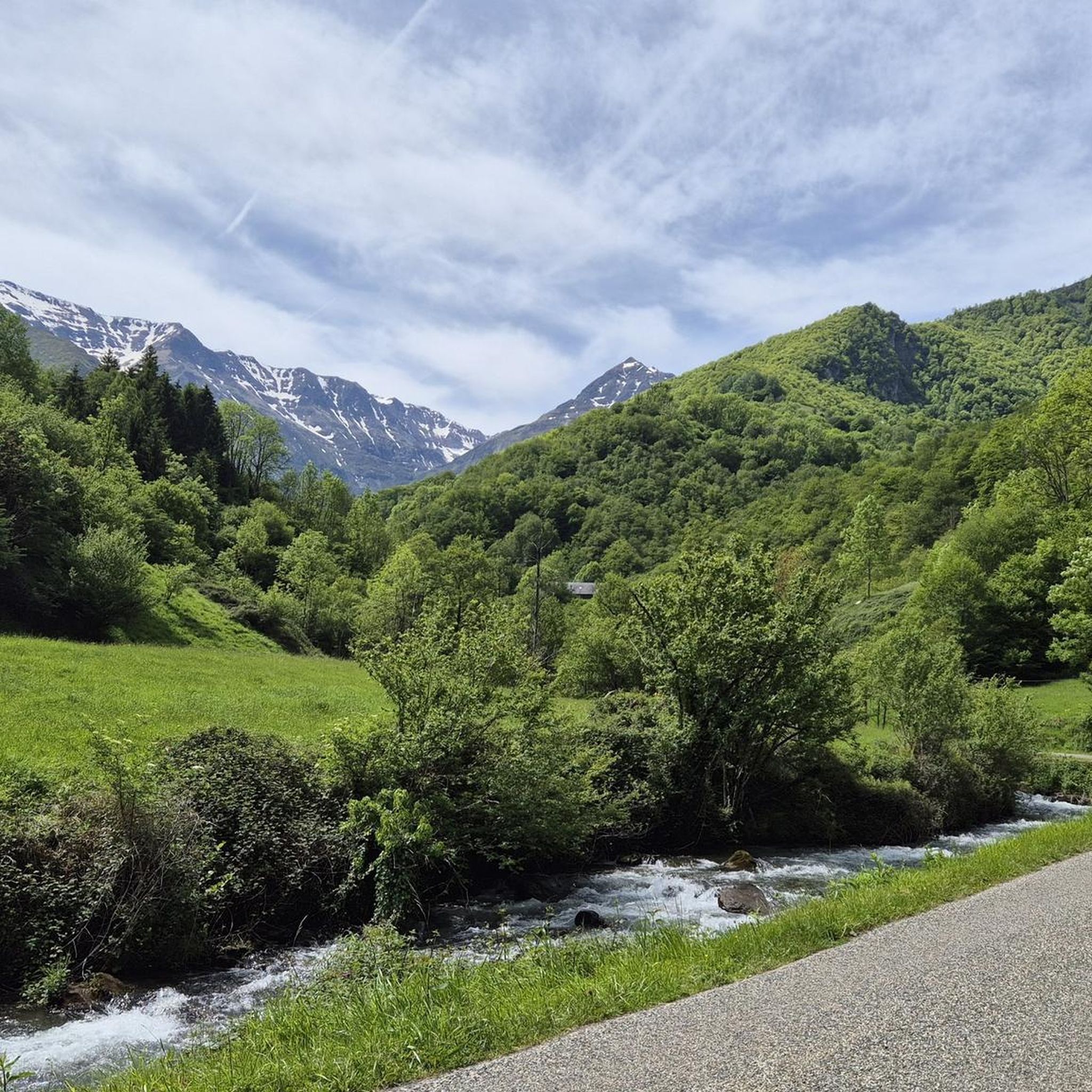
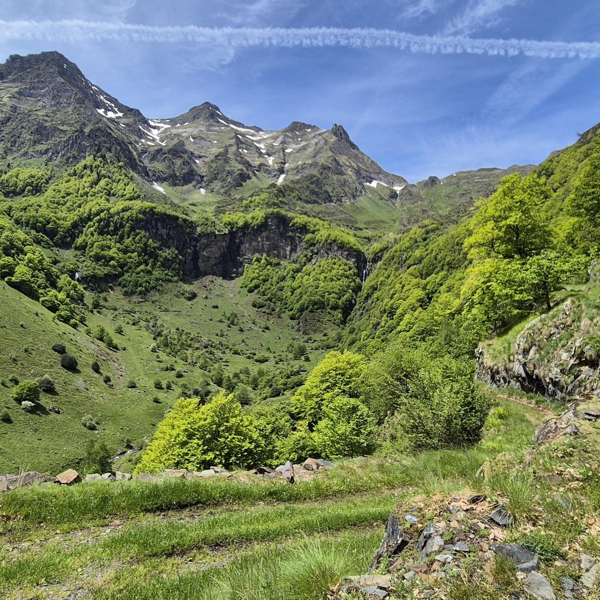

Tips from the Community

Nice panorama before the climb to the Peak!
0
0


The Morères cabin is an unguarded shelter in the Pyrenees which has a table, two benches and a small stove. You have a water fountain nearby.
1
0
This picturesque chapel, built in the 18th century, offers a breathtaking view of the surrounding peaks. It is a place of meditation for hikers and nature lovers. It is located on an alternative path to the Tour du Biros.
1
0

Attention delicate passage. Go around and turn right to the meadow, then turn right to join the ridge path.
0
0
Very beautiful view of the Pyrenees from the Pic de Paloumère.
1
0
On the way to the peak of Paloumère, this pass marks the end of the first part of the ascent of sport and Aspet and offers magical views.
0
0
Frequently Asked Questions
How many running routes are available around Aucazein?
There are over 50 dedicated running routes around Aucazein, offering a wide variety of options for different preferences and fitness levels. The region is known for its diverse trails through forests, along ridge lines, and across varied terrain.
What kind of terrain can I expect on running trails near Aucazein?
The running trails near Aucazein, nestled in the foothills of the Pyrenees, feature diverse terrain. You can expect spectacular mountain views, paths through dense forests, and along scenic ridge lines. The surfaces vary from mostly paved sections for easier runs to more challenging, rugged, and rocky paths, especially on higher elevation trails.
Are there options for different fitness levels, including beginners?
Yes, the Aucazein area caters to a wide range of fitness levels. While many routes are challenging, there are 3 easy and 13 moderate running trails available. These gentler paths are suitable for beginners or those looking for a less strenuous run, while 43 difficult routes offer a substantial physical challenge for experienced trail runners.
What do other runners say about the jogging routes in Aucazein?
The running routes in Aucazein are highly rated by the komoot community, with an average score of 4.1 stars from over 9 reviews. More than 900 runners have explored the varied terrain, often praising the stunning mountain views, the diverse forests, and the challenging yet rewarding nature of the trails.
Are there circular running routes available in Aucazein?
Yes, many of the running routes around Aucazein are designed as loops, allowing you to start and finish at the same point. For example, the challenging Sérau Peak – Morères Hut loop from Balacet is a great option for a circular run with significant elevation.
Can I find challenging long-distance running trails near Aucazein?
Absolutely. Aucazein is an excellent base for challenging long-distance running. Routes like the Riviere departure – In the woods loop from Antras, which spans 14.6 miles (23.5 km) with substantial elevation gain, offer a demanding experience through dense woodlands. Another option is the 13.7-mile Passengers Pass – Ascent to Pic de Paloumère loop from Augirein, leading through mountainous terrain.
What scenic viewpoints or natural attractions can I discover while running?
The region around Aucazein is rich in natural beauty. While running, you can enjoy spectacular mountain backdrops and diverse trails. Notable nearby attractions include the Portet-d'Aspet pass, offering panoramic views. The broader Ariège Pyrenees region also boasts picturesque sites like Lac d'Oo, Lac de Bethmale, and the dramatic Cirque d'Anglade, which can be incorporated into longer runs or day trips.
Are dogs allowed on the jogging trails in the Ariège Pyrenees?
Generally, dogs are welcome on many trails in the Ariège Pyrenees, but it's crucial to check specific regulations, especially within protected areas like the Pyrénées Ariégeoises Regional Natural Park. Always keep your dog under control, preferably on a leash, and ensure you clean up after them to preserve the natural environment.
Where can I find parking for jogging trails near Aucazein?
Parking is typically available at the start points of many popular trails and in nearby villages. For instance, routes departing from Antras or Augirein usually have designated parking areas. It's advisable to check specific route details on komoot for precise parking information before you head out.
Are there any places to stop for refreshments or a cafe near the running routes?
Yes, you can find options for refreshments. Some routes may pass near villages like Seix, which offers cafes and pubs. Additionally, the area has several huts and refuges, such as the Jacques Husson Refuge or Gîte d'Étape d'Eylie, which can provide a welcome break and sustenance during longer runs.
What is the best time of year for trail running in the Ariège Pyrenees?
The best time for trail running in the Ariège Pyrenees is generally from late spring to early autumn (May to October). During these months, the weather is milder, and trails are more accessible. Summer offers long daylight hours, but higher elevations can still be cool. Always check local weather patterns and trail conditions, especially for snow in spring and late autumn.
Are there any family-friendly running routes around Aucazein?
While many routes in the region feature significant elevation, there are gentler paths suitable for families looking to enjoy a run together. Look for routes described as 'easy' or 'moderate' on komoot, which often have less challenging terrain and elevation, making them more accessible for all ages.
What is a good running route for experiencing mountain views near Aucazein?
For expansive mountain views, consider the Riviere departure – View of Étang d'Araing loop from Antras. This 9.9-mile (15.9 km) trail features significant elevation gain, rewarding runners with breathtaking vistas of the surrounding Pyrenean landscape and the picturesque Étang d'Araing.
Most popular attractions around Aucazein

Get inspired with the komoot mobile app


Explore more
Browse the best Running Trails & Routes in other regions.
