The best walks and hikes around Salsein
4.5
(366)
3,514
hikers
108
hikes
Hiking around Salsein offers a diverse landscape characterized by mountain peaks, cols, and forested valleys. The region features varied terrain, from challenging ascents to more moderate loops through natural environments. Elevation changes are common, providing hikers with panoramic views and engaging paths.
Best hiking trails around Salsein
- The most popular hiking route is Sérau Peak – Morères Hut loop from Balacet, a 7.7 miles (12.5 km) trail that takes 6 hours 3 minutes to complete. This challenging route features…
Last updated: July 2, 2026
4.9
(7)
50
hikers
12.5km
06:04
860m
860m
Hard hike. Very good fitness required. Mostly accessible paths. Sure-footedness required.
34
hikers
8.65km
03:49
650m
650m
Moderate hike. Good fitness required. Mostly accessible paths. Sure-footedness required.

Sign up for free
4.8
(9)
44
hikers
11.1km
04:27
770m
770m
Moderate hike. Good fitness required. Mostly accessible paths. Sure-footedness required.
4.0
(3)
17
hikers
12.7km
04:34
750m
750m
Moderate hike. Good fitness required. Mostly accessible paths. Sure-footedness required.
5.0
(1)
42
hikers
6.47km
02:51
490m
490m
Moderate hike. Good fitness required. Mostly accessible paths. Sure-footedness required.
Get access to more routes and recommendations from other explorers.
Sign up for free
Already have an account?
Our route recommendations are based on thousands of hikes, rides, and runs completed by other people on komoot.
Start today with a free account
Your next adventure awaits.
Login or Signup



Tips from the Community

The quarry also offers a beautiful view of the valley. This highlight can also be reached with a short hike from the Uchentein d En Haut car park.
0
0
The grounds are accessible, but the partially collapsed building is not!
0
0

Quiet walk. Yellow markings. To do with family
0
0

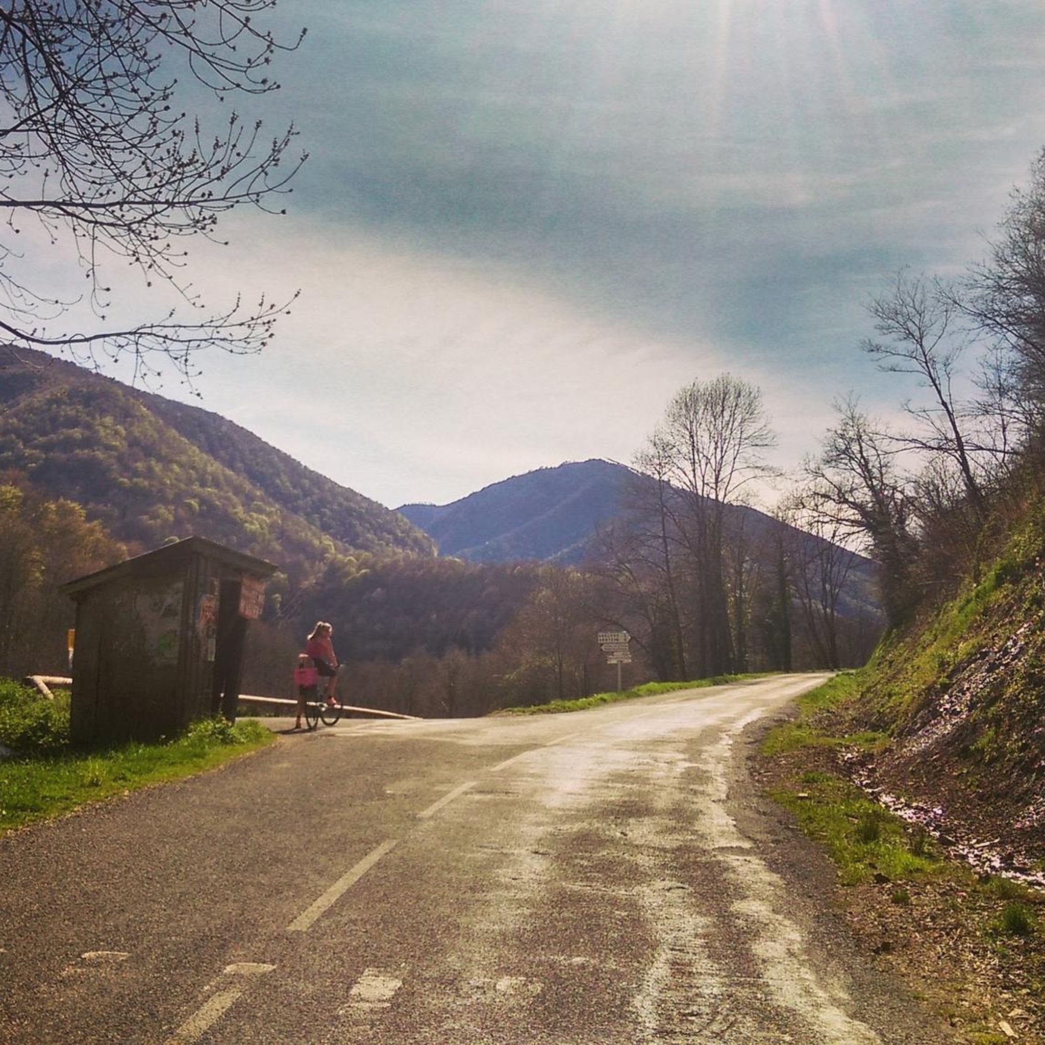
Just before the Col de la Croix, the Mail de Laroque offers breathtaking views of the surrounding mountains. It is located at almost 1,400 meters above sea level. The rocks are quite impressive!
1
0
The Morères cabin is an unguarded shelter in the Pyrenees which has a table, two benches and a small stove. You have a water fountain nearby.
1
0
Frequently Asked Questions
How many hiking trails are there in Salsein?
Salsein offers a wide variety of hiking experiences, with over 110 routes available. These range from easy strolls to challenging mountain ascents, catering to different skill levels.
Are there easy hikes suitable for beginners in Salsein?
Yes, Salsein has about 15 easy hiking routes perfect for beginners or those looking for a more relaxed walk. These trails typically feature less elevation gain and shorter distances, allowing you to enjoy the scenery without significant exertion.
What kind of challenging hikes can I find in Salsein?
For experienced hikers, Salsein provides around 37 challenging routes. These often involve significant elevation changes and rugged terrain. An example is the Sérau Peak – Morères Hut loop from Balacet, which covers 7.7 miles (12.5 km) with substantial ascent and offers rewarding mountain views.
Are there circular walks available in Salsein?
Many of the hiking routes in Salsein are circular, allowing you to start and end at the same point. Popular options include the Pic de l'Arraing loop from Uchentein, a moderate 5.4-mile (8.6 km) path, and the Col de la Croix – Mail de Laroque loop from Balacet, which is 6.9 miles (11.1 km) long.
Can I bring my dog on the hiking trails in Salsein?
Generally, dogs are welcome on most hiking trails in Salsein. However, it's always best to keep them on a leash, especially in areas with livestock or protected wildlife. Remember to carry water for your pet and clean up after them to preserve the natural environment.
What are the typical trail lengths and durations in Salsein?
Hiking trails in Salsein vary greatly in length and duration. You can find shorter routes like the Hiking loop from Uchentein, which is about 4 miles (6.5 km) and takes around 2 hours 50 minutes. Longer, more challenging routes, such as the Sérau Peak – Morères Hut loop from Balacet, can extend to 7.7 miles (12.5 km) and require over 6 hours to complete.
Where can I park when hiking in Salsein?
Many trailheads in the Salsein area, particularly those starting from villages like Balacet or Uchentein, offer designated parking areas. It's advisable to check the specific route details on komoot for information on parking availability at your chosen starting point.
Is public transport an option to reach Salsein hiking trailheads?
While public transport options might be limited directly to all remote trailheads in Salsein's mountainous terrain, some villages that serve as starting points for hikes may be accessible by local bus services. Planning your route in advance and checking local transport schedules is recommended.
What is the best time of year to go hiking in Salsein?
The best time for hiking in Salsein is typically from late spring to early autumn (May to October). During these months, the weather is generally milder, and trails are more accessible. Higher elevation routes might still have snow earlier in the season, so always check conditions before heading out.
What attractions or points of interest can I see while hiking in Salsein?
Salsein's trails often lead to or pass by interesting natural and historical sites. You might encounter mountain passes like Core Pass, serene bodies of water such as Ayes Pond, or even mountain huts like Valier House, offering glimpses into the region's natural beauty and heritage.
What do other hikers say about the trails in Salsein?
The hiking trails in Salsein are highly regarded by the komoot community, boasting an average rating of 4.6 stars from over 340 reviews. Hikers often praise the diverse landscapes, from challenging mountain peaks to tranquil forested valleys, and the well-maintained paths that offer panoramic views.
Are there any huts or shelters along the trails in Salsein?
Yes, the Salsein area features several huts and shelters that can provide a resting point or emergency shelter. Notable examples include Valier House and Gîte d'Étape d'Eylie. These can be valuable resources, especially on longer routes.
What should I wear or bring for hiking in Salsein?
Given the varied terrain and mountain environment of Salsein, it's essential to wear appropriate hiking boots with good ankle support. Layered clothing is recommended to adapt to changing weather conditions, along with rain gear. Always carry sufficient water, snacks, a map or GPS device, and a first-aid kit.
Most popular attractions around Salsein

Get inspired with the komoot mobile app


Explore more
Browse the best Hikes in other regions.
