The 3 Most Amazing Peaks around Arrien-En-Bethmale
Best mountain peaks around Arrien-En-Bethmale are found within the Bethmale Valley, nestled in the Ariège Pyrenees Regional Natural Park. This region offers a diverse and rugged alpine environment, with elevations ranging from 598 to 2,085 meters within the commune itself. It provides access to several remarkable peaks and extensive hiking areas. The area is characterized by its mountainous terrain and natural landscapes.
Best mountain peaks around Arrien-En-Bethmale
- The most popular mountain peaks is Mount Valier, a summit that is…
Last updated: November 1, 2026
Engomer
Highlight • Summit
Translated by Google •
Tip by

Mount Valier
Highlight • Summit
Translated by Google •
Tip by

Sign up now to discover places like this
Get recommendations on the best single tracks, peaks, & plenty of other exciting outdoor places.
Port d'Aula
Highlight • Mountain Pass
Border between France and Spain between the regions of Ariege and Pallars Sobirá.
Going up the French side there is a cycle track to the top. A tough and very long climb that demands.
Translated by Google •
Tip by

Cabane du Trapech du Milieu
Highlight • Mountain Hut
Translated by Google •
Tip by
Fonta Peak
Highlight • Summit
Showing Translation
Tip by

Sign up for free to discover even more peaks around Arrien-En-Bethmale.
Already have an account?
Start today with a free account
Your next adventure awaits.


Tips from the Community

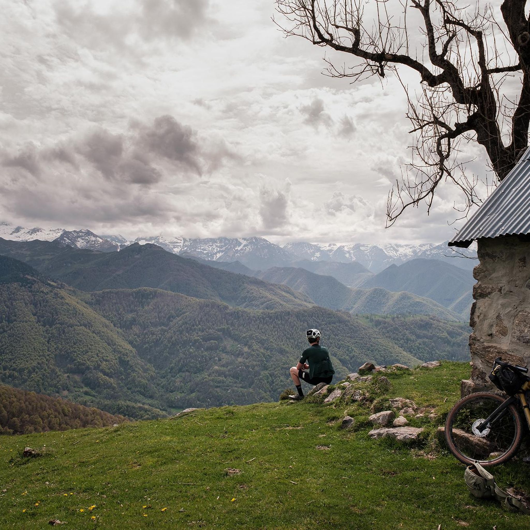
On a gravel bike with 45 mm tires, it's doable. A few steep sections, a few technical turns, but perfectly rideable.
0
0

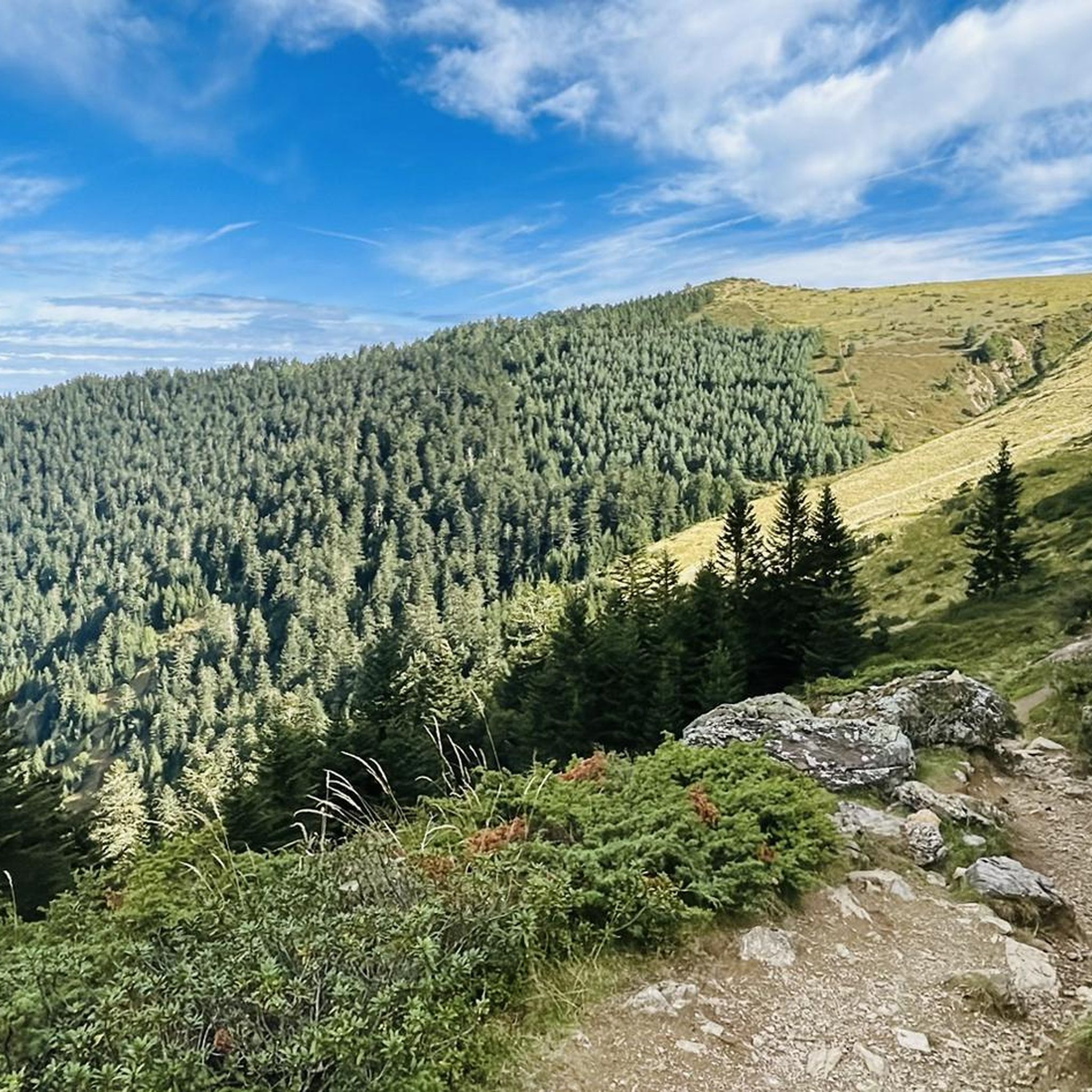
The Pic de Fonta is a 1,934 m high peak in the French Pyrenees in the Ariège department, near Couflens. It is considered a scenic summit with an impressive view of the Mont-Valier massif and the Couserans nature reserve. The most common hike starts in Lasserre or at the Col de Pause. From Lasserre, the circular tour is around 9–10 km, with about 800–950 meters of elevation gain and 5 to 5½ hours of hiking time. The mountain path is technically mostly easy, but requires good basic fitness. The Pic de Fonta is particularly suitable for hikers looking for a quiet tour with a great panorama, without having to climb a high summit. On clear days, the view extends to the distinctive Mont Valier.
0
0

Absolutely incredible. Very demanding, but magnificent. For gravel, tubeless is highly recommended to lower tire pressure. I rode it up and down in 40mm sections, but I strongly recommend fitting 45mm tires to your bike.
2
0


Small town on the Lez and on the D618. More information: https://de.wikipedia.org/wiki/Engomer?wprov=sfla1
4
0

This very pretty village is ideally located along the Lez river. Sunday morning is market day.
1
0

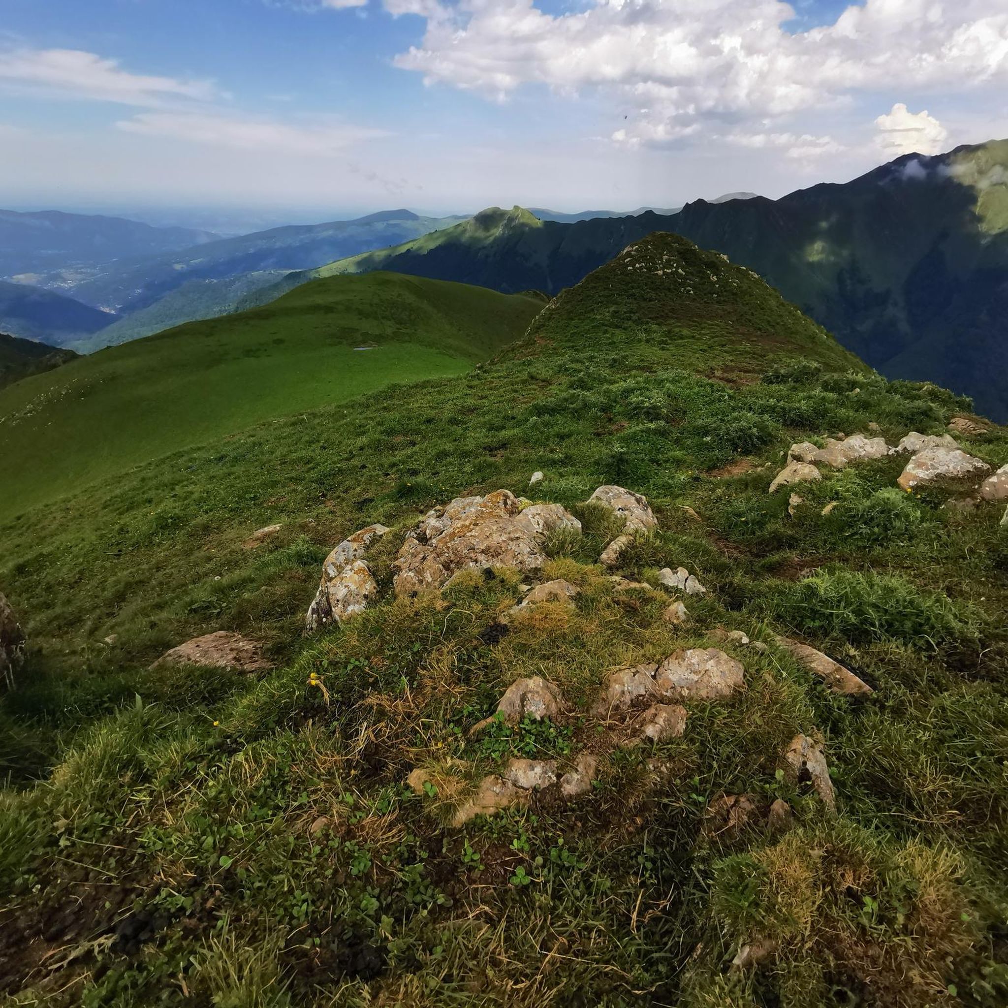
Mont Valier is located at 2,838 meters above sea level and is located in the Ariège Pyrenees. It overlooks the Angouls valley and is a short walk from the Spanish border. The climb is tough, but the panoramic spectacle is breathtaking.
3
1
Here is a refuge where you can shelter in case of unexpected bad weather. You have a water fountain but just in case, don't count on it too much.
2
0
Frequently Asked Questions
What are some of the most iconic mountain peaks to explore around Arrien-En-Bethmale?
The region boasts several iconic peaks. Mont Valier, often called the "Giant of the Couserans," is a majestic and symbolic mountain offering breathtaking panoramic views of the Pyrenean massifs. Another significant summit is Fonta Peak, which provides impressive views of the Mont-Valier massif and the Couserans nature reserve without requiring an extremely high ascent.
Are there any family-friendly mountain experiences near Arrien-En-Bethmale?
Yes, for a more relaxed outing, Lac de Bethmale offers an easy, flat, and shaded path around its emerald-green waters, perfect for leisurely walks and family picnics. The village of Engomer is also considered family-friendly and is ideally located along the Lez river.
What kind of views can I expect from the mountain peaks in this area?
The peaks around Arrien-En-Bethmale offer diverse and spectacular views. From Mont Valier, you can see expansive panoramas of the Pyrenean massifs. Fonta Peak provides an impressive vista of the Mont-Valier massif itself. Even from the more modest Pic de l'Arraing, you can enjoy superb panoramic views of the entire Pyrenees chain.
What is the best time of year to visit the mountain peaks around Arrien-En-Bethmale?
The region is beautiful year-round, but for hiking the higher peaks, late spring to early autumn (June to September) generally offers the most favorable weather conditions. However, Lac de Bethmale and its surroundings are particularly beautiful in autumn when the foliage changes color, reminiscent of Canadian landscapes. Some trails, like those to Pic de Crabère or Pic de l'Arraing, can also be explored on snowshoes in winter.
Are there challenging hikes for experienced mountaineers?
Absolutely. The climb to Mount Valier is an "extremely difficult" hike requiring good physical condition, with significant elevation gain and an estimated duration of around 8 hours for a round trip. Many choose to undertake this hike over two days, staying overnight at the guarded Estagnous refuge. The "Tour du Mont Valier" is also a challenging multi-day trek for experienced walkers.
Where can I find shelters or huts during longer mountain excursions?
For longer treks, especially around the Mont Valier area, you can find refuges. The guarded Estagnous refuge is a popular overnight stop for those undertaking the two-day ascent of Mont Valier. Additionally, Cabane du Trapech du Milieu offers a place to shelter in case of unexpected bad weather and has a water source.
What kind of wildlife and nature can I expect to see?
The region, particularly around Mont Valier, is part of a national nature reserve known for its exceptional biodiversity. Visitors might encounter chamois, marmots, eagles, and primary forests. The area also features natural gems like emerald ponds and waterfalls, such as the impressive Nérech Waterfall. Lac de Bethmale is also a haven for rich and unspoilt flora and fauna, including rare plant species and various birds and animals.
Are there hiking trails near these mountain peaks?
Yes, there are numerous hiking trails. For example, you can find routes like the "Lake Bethmale – Étang de Bethmale loop" or the "Auedole Pass – Ayes Pond loop." You can explore more options and detailed routes in the Hiking around Arrien-En-Bethmale guide.
What other outdoor activities can I do near the mountain peaks?
Beyond hiking, the region offers excellent opportunities for cycling. You can find challenging routes like the "Portet-d'Aspet pass – Menté Pass loop" for road cycling, or explore traffic-free options such as the "Saint-Lizier and Cazavet Loop." Discover more in the Road Cycling Routes around Arrien-En-Bethmale guide and the Traffic-free bike rides around Arrien-En-Bethmale guide.
Are there any peaks that offer views into Spain?
Yes, Pic de Crabère is a significant summit that marks a tripoint between France and Spain. From its height, it provides superb views of the Maladeta glacier and the highest peaks in Spain, including Aneto, the king of the Pyrenees. Mount Petit Valier also offers magnificent views of the surrounding valleys and is near the Spanish border.
What should I know about the difficulty of hikes in the area?
Hikes range from easy to extremely difficult. The path around Lac de Bethmale is easy and flat. The ascent to Pic de Crabère is long but not technically difficult, with a well-marked path. However, the climb to Mount Valier is considered extremely difficult, requiring good physical condition. Fonta Peak is technically mostly easy but requires good basic fitness.
Most popular routes around Arrien-En-Bethmale
Most popular attractions around Arrien-En-Bethmale

Get inspired with the komoot mobile app


Explore more
See even more amazing summits around Arrien-En-Bethmale with these guides:
