The best running trails around Appenzell Innerrhoden
4.5
(4)
260
runners
13
runs
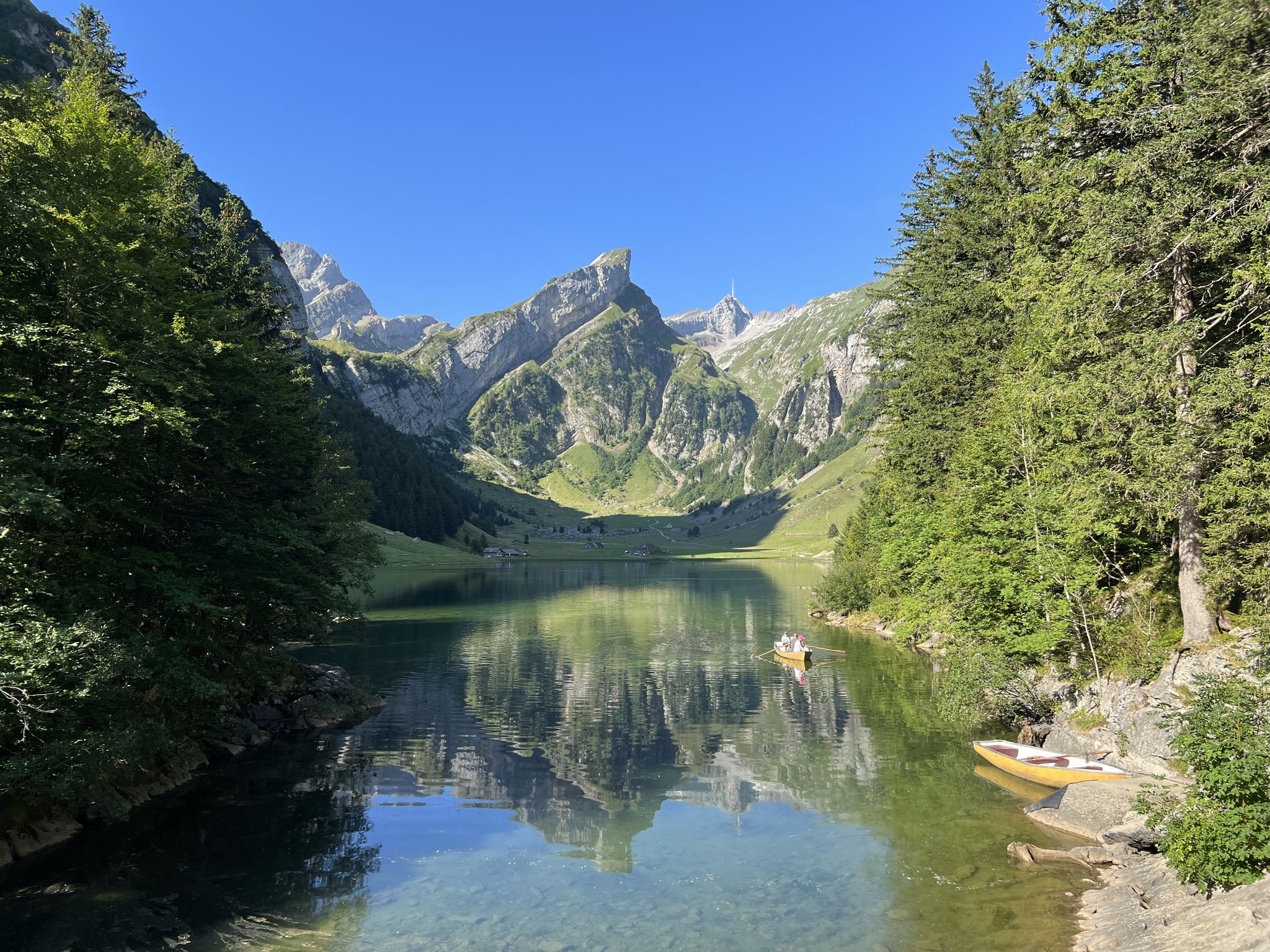
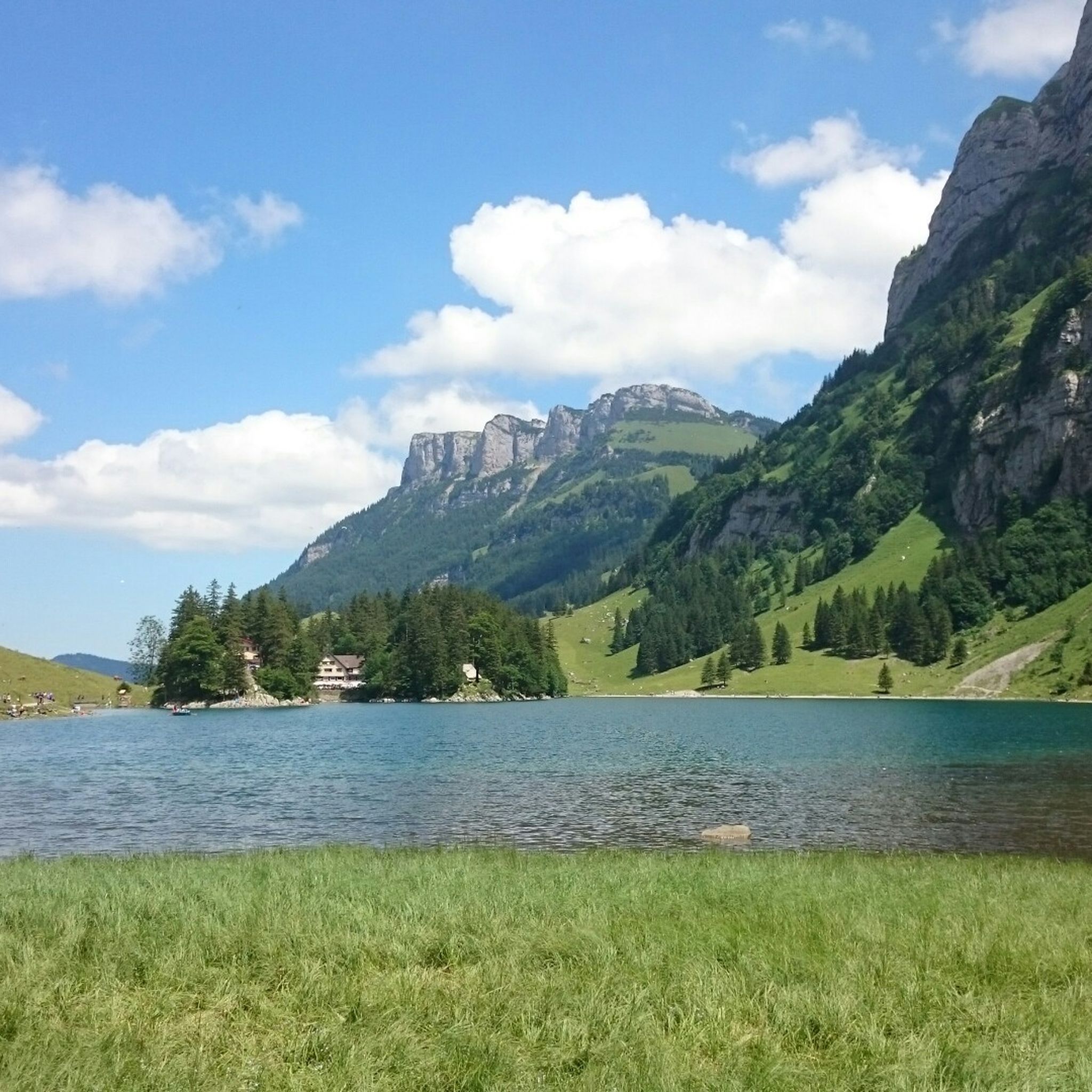
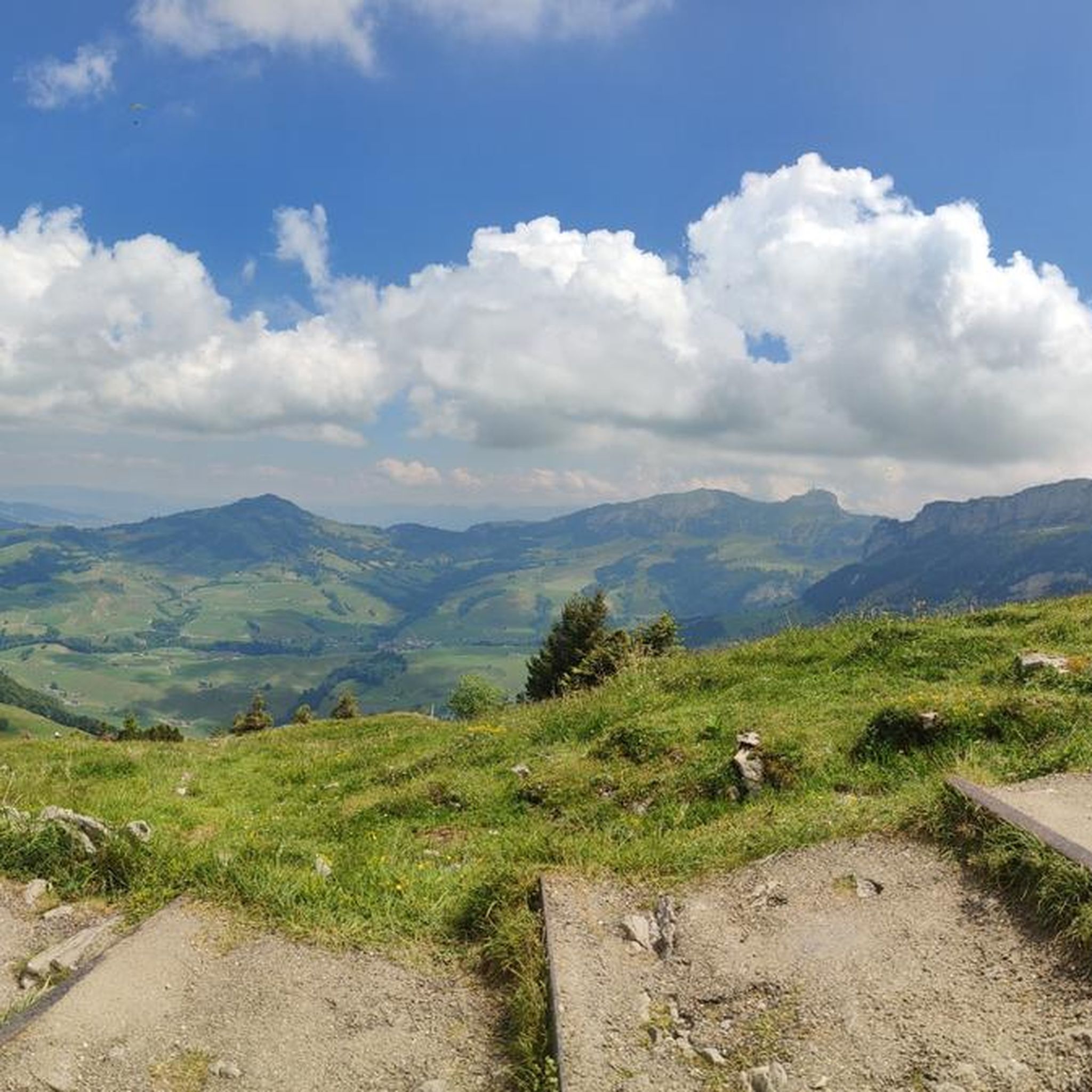
Jogging routes around Appenzell Innerrhoden traverse a diverse landscape dominated by the Alpstein mountain range, offering both challenging ascents and gentler paths. The region features serene alpine lakes such as Seealpsee and Fählensee, nestled amidst rolling green pastures and idyllic forests. Runners can explore wild ravines and encounter prominent peaks like Säntis and Hoher Kasten, which provide expansive views. This varied terrain makes Appenzell Innerrhoden a destination for trail running and jogging.
Best jogging routes around Appenzell Innerrhoden
- The most…
Last updated: June 26, 2026
22
runners
24.0km
03:56
1,310m
1,310m
Hard run. Very good fitness required. Sure-footedness, sturdy shoes and alpine experience required.
56
runners
14.4km
01:51
420m
420m
Hard run. Very good fitness required. Mostly accessible paths. Some sure footedness required.

Sign up for free
14
runners
10.2km
01:37
590m
590m
Hard run. Very good fitness required. Sure-footedness, sturdy shoes and alpine experience required.
10
runners
7.40km
01:36
650m
640m
Hard run. Very good fitness required. Sure-footedness, sturdy shoes and alpine experience required.
11
runners
3.58km
00:47
370m
370m
Hard run. Very good fitness required. Sure-footedness, sturdy shoes and alpine experience required.
Get access to more routes and recommendations from other explorers.
Sign up for free
Already have an account?
Our route recommendations are based on thousands of hikes, rides, and runs completed by other people on komoot.
Start today with a free account
Your next adventure awaits.
Login or Signup
Popular around Appenzell Innerrhoden

Other adventures around Appenzell Innerrhoden

Tips from the Community

pretty here, very pretty
3
0

super mega great here
0
0


If you want to shorten the route to Fähnerenspitz (instead of starting from Brülisau), this free parking lot is a good option, but the access road is quite narrow.
3
0

Very well maintained and stocked with firewood. You can only find that with our Swiss neighbors🥰
7
0

Short steep climb from Wasserauen to Aescher
0
0
Frequently Asked Questions
How many running routes are available in Appenzell Innerrhoden?
Komoot lists over a dozen dedicated running routes in Appenzell Innerrhoden, catering to various preferences and fitness levels. The region is particularly known for its challenging trails through the Alpstein mountain range.
Are there any easy or beginner-friendly jogging routes in Appenzell Innerrhoden?
While Appenzell Innerrhoden is renowned for its challenging mountain trails, the komoot guide primarily features routes rated as difficult. These often involve significant elevation gain and require good fitness. For beginners, it's advisable to look for shorter, flatter sections within the valleys or consult local tourist information for gentler paths.
What kind of terrain can I expect on the running trails in Appenzell Innerrhoden?
The terrain is highly varied, dominated by the Alpstein mountain range. You can expect challenging ascents and descents, paths through rolling green pastures, idyllic forests, and wild ravines. Many routes offer breathtaking views of prominent peaks like Säntis and Hoher Kasten.
Are there any circular running routes in the region?
Yes, many of the running routes in Appenzell Innerrhoden are circular, allowing you to start and end at the same point. For example, the Running loop from Schwende-Rüte is a difficult 7.4 km circular trail, offering a good workout with scenic views.
What are some scenic highlights or natural features I can see while running?
Appenzell Innerrhoden is rich in natural beauty. You'll encounter serene alpine lakes like Seealpsee and Fählensee, often reflecting the surrounding mountains. Many trails also offer views of the Alpstein range and picturesque traditional villages. You might also discover impressive waterfalls such as Hüttentobel Waterfall or the dramatic Ofenloch Gorge.
Are there any running routes that pass by the famous Aescher-Wildkirchli Mountain Inn?
Yes, you can incorporate the iconic Aescher-Wildkirchli Mountain Inn into your run. The Berggasthaus Aescher loop from Schwende-Rüte is a difficult 3.6 km route that takes you past this remarkable inn carved into the rock face, offering a unique experience.
What do other runners say about the trails in Appenzell Innerrhoden?
The running routes in Appenzell Innerrhoden are highly rated by the komoot community, with an average score of 4.5 stars. Runners often praise the breathtaking views, the varied and challenging terrain, and the pure natural environment of the Alpstein mountains.
Are there any long-distance running options for experienced trail runners?
Absolutely. For experienced trail runners seeking a significant challenge, routes like the Idyllic small mountain village – Marwees Loop and Seealpsee loop from Schwende offer a demanding 24.1 km (15 miles) journey with over 1300 meters of elevation gain, taking approximately 4 hours to complete.
Can I access the running trails using public transport?
Appenzell Innerrhoden has a good public transport network, including cable cars that can help you reach higher-altitude trails quickly. Many trailheads are accessible by bus or train, particularly in and around the main villages like Appenzell, Schwende, and Weissbad, making it convenient to start your run without a car.
What is the best season for jogging or trail running in Appenzell Innerrhoden?
The best season for jogging and trail running in Appenzell Innerrhoden is typically from late spring to early autumn (May to October). During these months, the weather is generally milder, and the mountain trails are clear of snow, offering optimal conditions to enjoy the region's stunning landscapes. Always check local weather and trail conditions before heading out, especially in higher elevations.
Are there any routes that offer panoramic viewpoints?
Many routes in Appenzell Innerrhoden provide spectacular panoramic views. For instance, the View from Fähnerenspitz loop from Rüte is a difficult 10.1 km trail specifically highlighted for its views from Fähnerenspitz, allowing you to take in the expansive beauty of the Alpstein region.
Most popular routes around Appenzell Innerrhoden
Most popular attractions around Appenzell Innerrhoden

Get inspired with the komoot mobile app


Explore more
Browse the best Running Trails & Routes in other regions.
