The best mountain hikes around Reute (AR)
5.0
(8)
61
hikers
1
hike
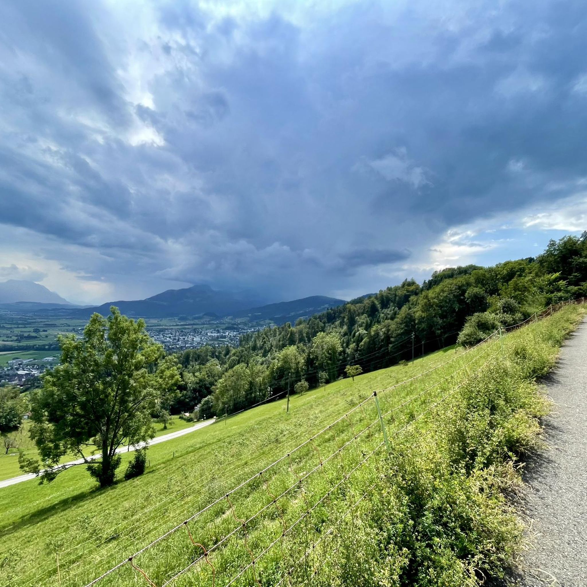
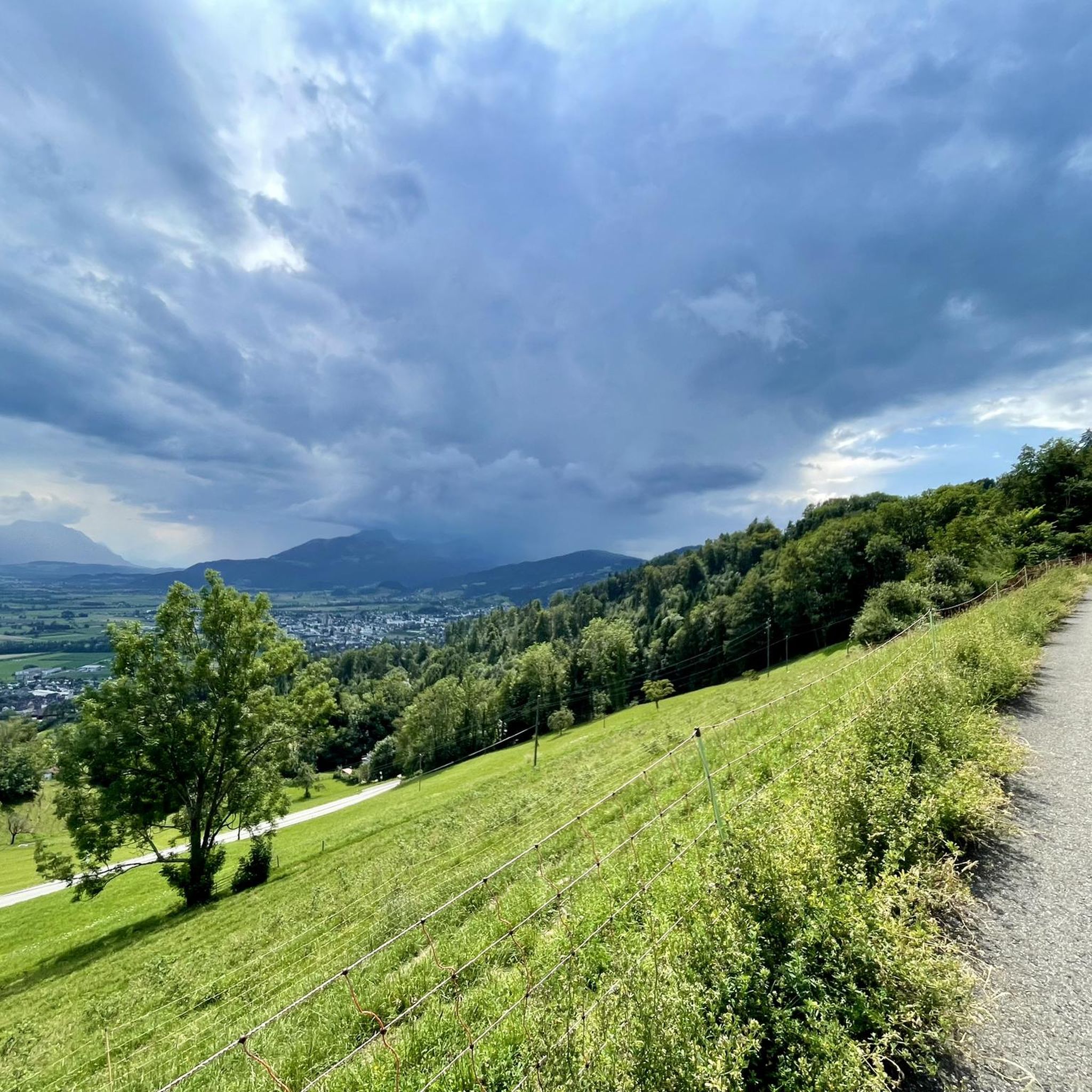
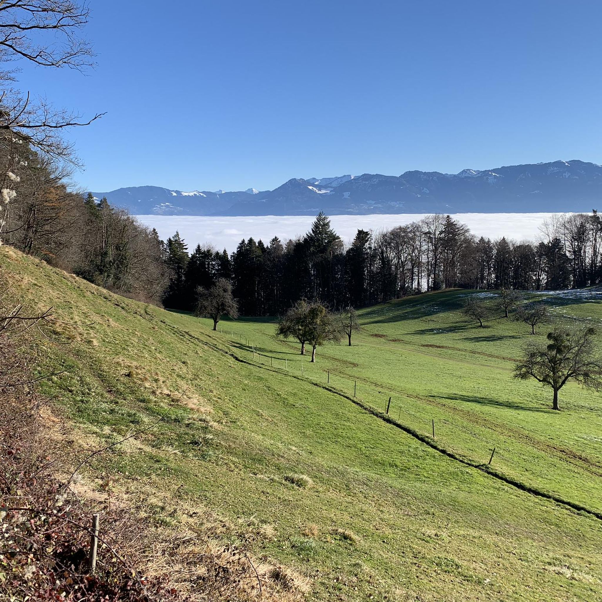
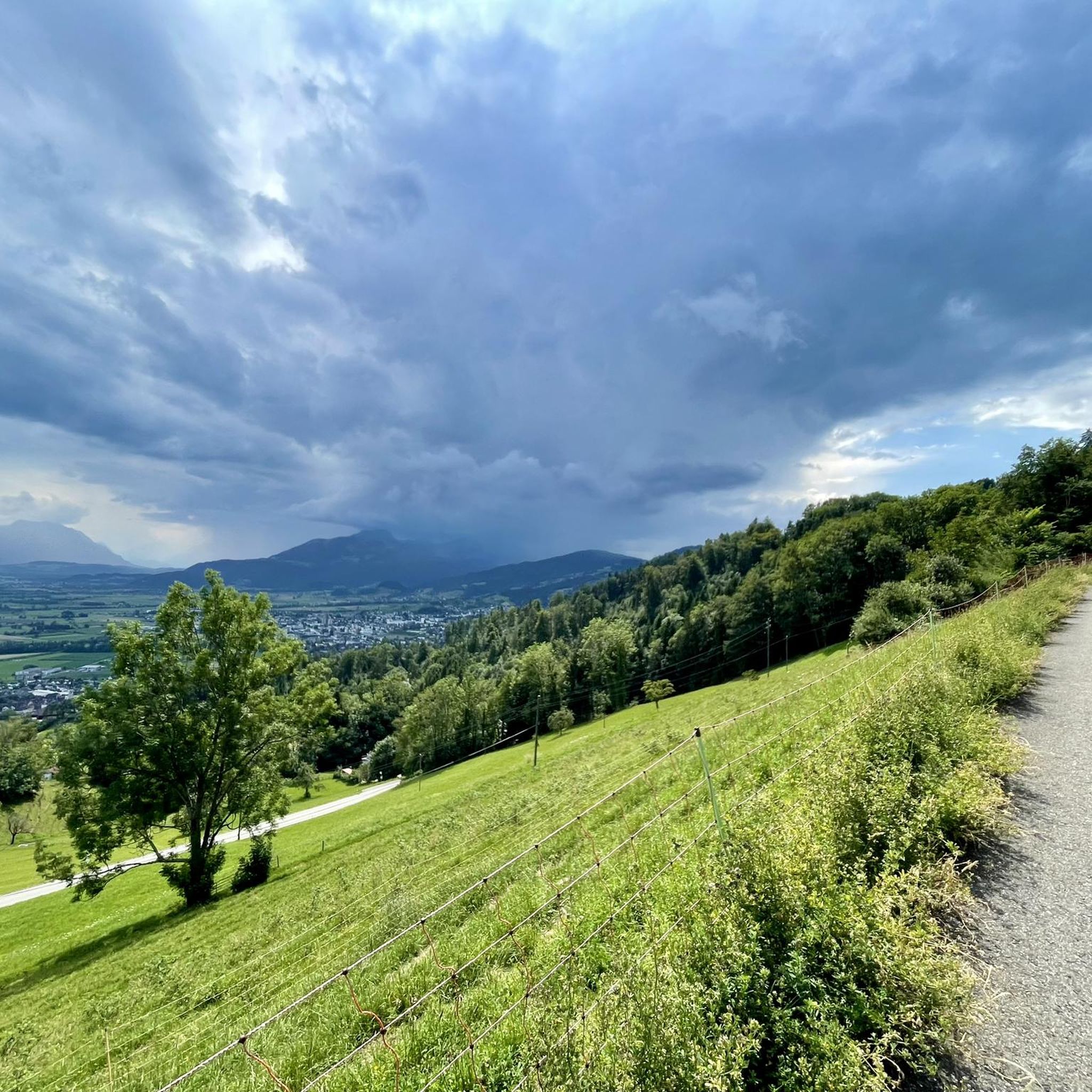
Mountaineering around Reute (AR) features diverse terrain within the Appenzell Innerrhoden region. The landscape is characterized by varied elevations, including forested paths, alpine meadows, and challenging summit ascents. Routes often traverse natural landscapes, offering views of the surrounding mountains and valleys.
Best mountaineering routes around Reute (AR)
- The most popular mountaineering route is Hohe Kugel Summit (1,645 m) – Emser Hut loop from Hohenems, a 10.4 miles (16.7 km) trail that takes about 7 hours 38 minutes to complete.…
Last updated: May 11, 2026
5.0
(6)
16
hikers
16.7km
07:38
1,230m
1,230m
Hard mountaineering route. Very good fitness required. Sure-footedness, sturdy shoes and alpine experience required.
5.0
(1)
18
hikers
10.8km
04:09
630m
630m
Hard mountaineering route. Good fitness required. Sure-footedness, sturdy shoes and alpine experience required.

Sign up for free
13
hikers
10.5km
03:18
410m
410m
Moderate mountaineering route. Good fitness required. Easily-accessible paths. Suitable for all skill levels.
5.0
(1)
7
hikers
13.1km
05:08
770m
770m
Hard mountaineering route. Very good fitness required. Sure-footedness, sturdy shoes and alpine experience required.
4
hikers
19.5km
07:01
1,060m
1,060m
Hard mountaineering route. Very good fitness required. Sure-footedness, sturdy shoes and alpine experience required.
Our route recommendations are based on thousands of hikes, rides, and runs completed by other people on komoot.
Start today with a free account
Your next adventure awaits.
Login or Signup
Tips from the Community

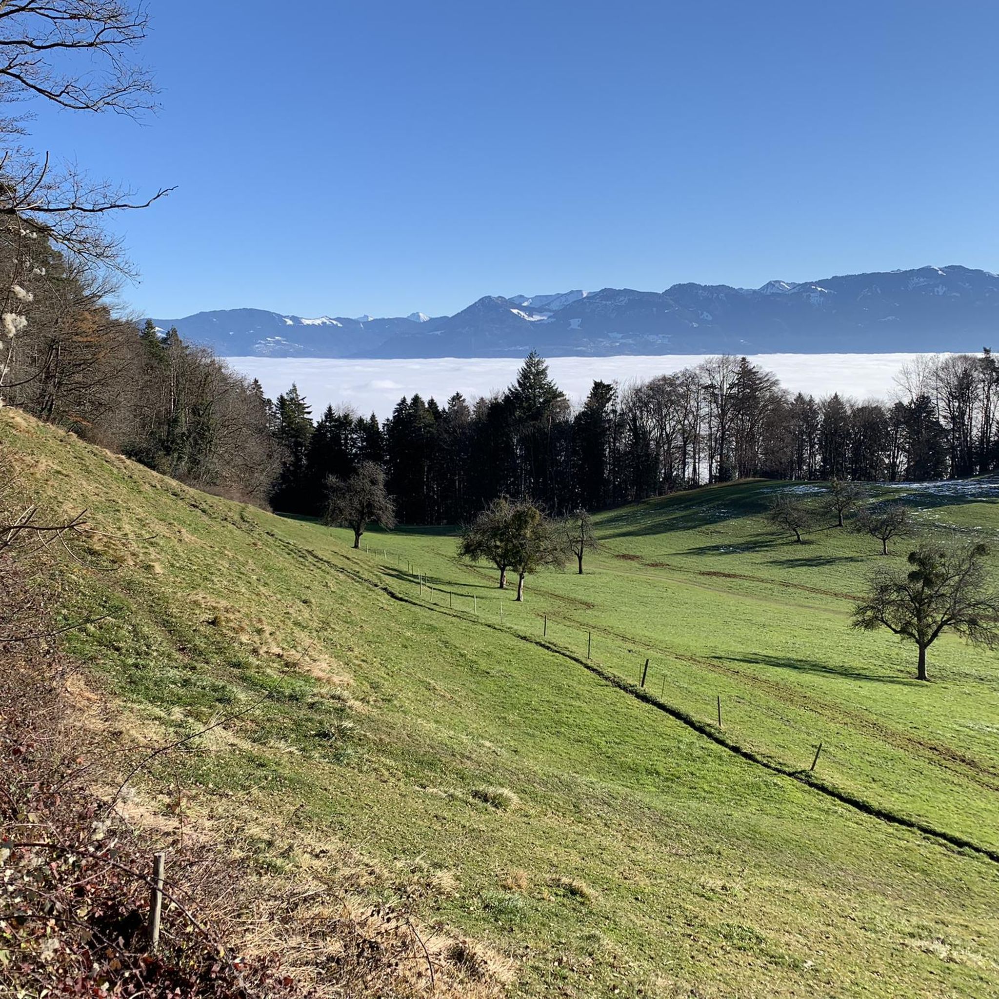
The restaurant is highly recommended, great food and cool drinks. Great view of the mountains and also to Lake Constance
0
0

At this junction, there are great views to the right and left, and if there are two of you, you can have fun communicating with each other in these little huts with the chimes.
0
0

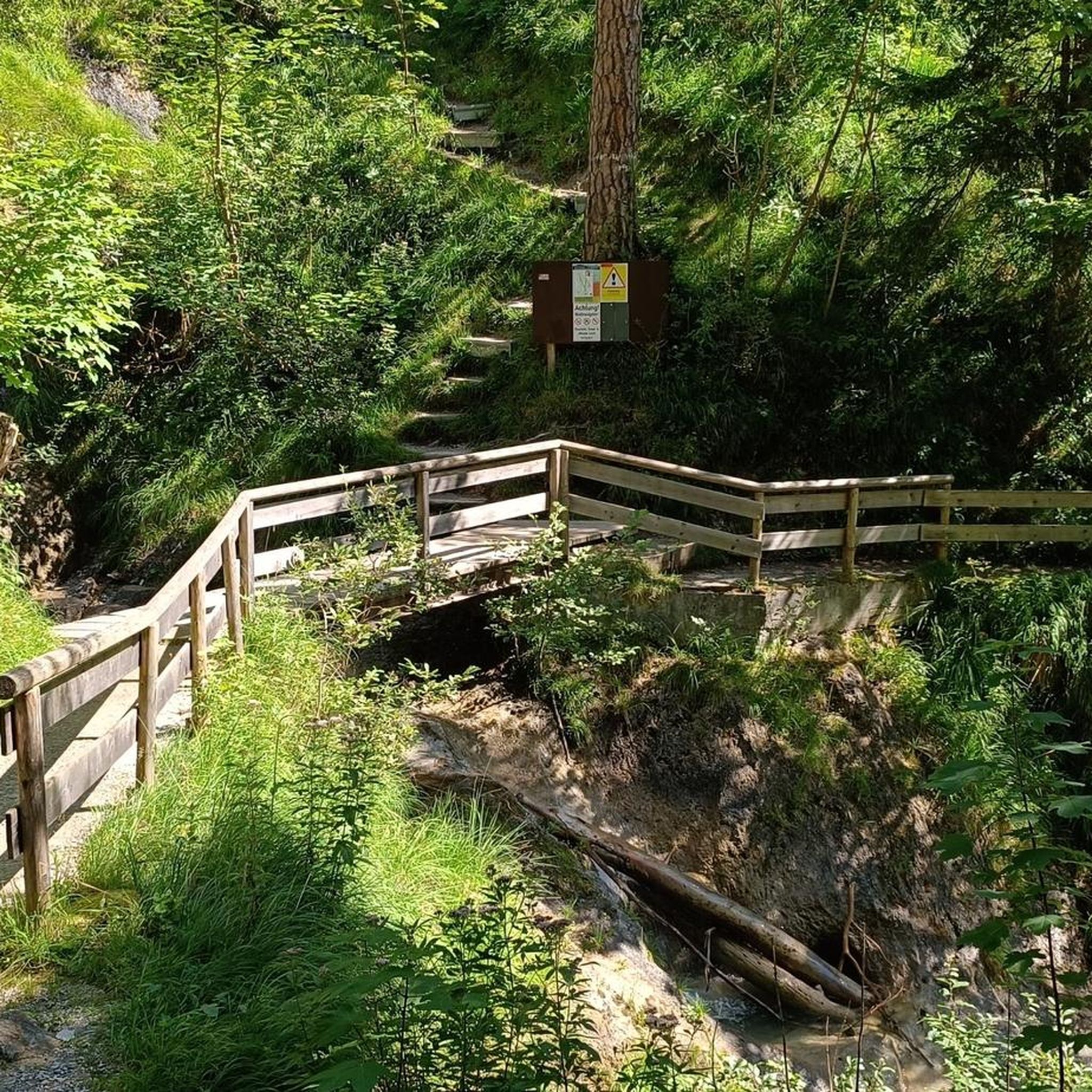
Steep but pristine ascent through the forest
0
0

The restaurant offers unobstructed views in three directions.
0
1

Very tasty here. Ultra relaxed and a fantastic view.
0
0

Great Alp with terrace, definitely worth a visit.
8
0

The climb is rewarded with a fantastic view. Definitely worth a visit 😉.
0
0

The world-class nut peaks are ONLY available up there, because they are a special production ‼️
0
0
Frequently Asked Questions
What is the easiest mountaineering route available around Reute (AR)?
For those looking for a less strenuous option, the Geißensteig Forest Trail – Gäbrisseeli loop from Gais is a moderate route. It covers 10.5 km and typically takes around 3 hours 18 minutes to complete, leading through forests and past the scenic Gäbrisseeli.
Are there any challenging mountaineering routes for experienced hikers near Reute (AR)?
Yes, the region offers several demanding routes. The Hohe Kugel Summit (1,645 m) – Emser Hut loop from Hohenems is a difficult 16.7 km trail with significant elevation gain, often taking over 7 hours. Another challenging option is the Bepposteig – Emsbach Trail loop from Hohenems, a difficult 10.8 km path navigating varied terrain.
Where can I find parking and trailheads for mountaineering routes near Reute (AR)?
Many routes start from nearby towns. For example, several trails, including the challenging Hohe Kugel Summit loop, begin
from Hohenems. Other routes, such as the Geißensteig Forest Trail – Gäbrisseeli loop, have trailheads accessible from Gais or Rietli. It's advisable to check specific route details on komoot for precise starting points and parking information.
Can I reach mountaineering trails near Reute (AR) using public transport?
The Appenzell region is generally well-served by public transport. While specific stops for each trailhead are not detailed here, many starting points like Gais or Hohenems are accessible by train or bus. We recommend checking local public transport schedules for connections to your chosen trailhead.
What is the best season for mountaineering in Reute (AR)?
The ideal season for mountaineering in Reute (AR) is typically from late spring to early autumn (May to October). During these months, trails are generally free of snow, and weather conditions are more stable, offering pleasant temperatures and clear views. Always check the local weather forecast before heading out.
Are there any circular mountaineering routes in the Reute (AR) area?
Yes, many of the mountaineering routes around Reute (AR) are designed as loops, allowing you to start and end at the same point. Examples include the Emser Hut – Bepposteig loop from Hohenems and the Geißensteig Forest Trail – Gäbrisseeli loop from Rietli, providing convenient options for exploration.
What can I see along the mountaineering routes around Reute (AR)?
Beyond the stunning alpine views, you can encounter various points of interest. Some routes pass by natural features like Gäbrisseeli. The broader region also features historical sites such as St. Anna Castle and Grimmenstein Castle Ruins, which can be explored as part of a longer trip.
Are there any lakes or water features near the mountaineering trails?
Yes, the Gäbrisseeli is a notable lake that some routes, like the Geißensteig Forest Trail loop, pass by. The wider region also offers access to Lake Constance, with highlights such as the Lake promenade Rorschach and the Rhine Delta Nature Reserve, providing diverse natural landscapes.
What do other mountaineers enjoy most about mountaineering in Reute (AR)?
The area is highly rated by the komoot community, with an average score of 5.0 stars from over 10 reviews. Reviewers often praise the diverse terrain, which includes forested paths, alpine meadows, and rewarding summit ascents, as well as the well-maintained trails and the stunning views of the surrounding mountains and valleys.
How many mountaineering routes are available in Reute (AR)?
There are several mountaineering routes around Reute (AR) to explore, offering a range of difficulties and distances. The komoot community has documented multiple tours in the area, providing ample choice for your next adventure.
Are there any family-friendly mountaineering options around Reute (AR)?
While many routes are rated difficult, the Geißensteig Forest Trail – Gäbrisseeli loop from Gais is a moderate option that might be suitable for families with older children or those accustomed to hiking. It offers a manageable distance and elevation gain, with the scenic Gäbrisseeli as a highlight.
Most popular routes around Reute (AR)
Most popular attractions around Reute (AR)

Get inspired with the komoot mobile app


Explore more
Browse the best Mountain Hikes & Routes in other regions.
