The best mountain hikes around Oberegg
5.0
(9)
87
hikers
9
hikes
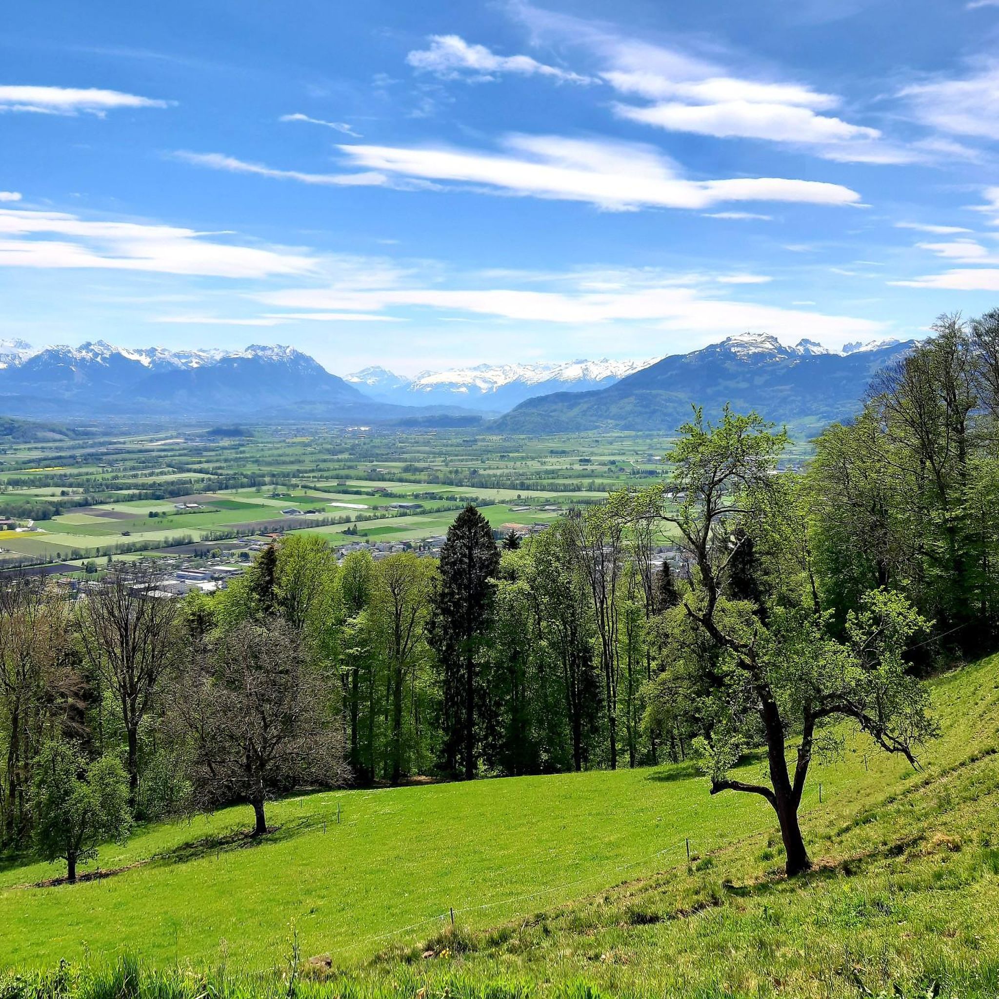
Mountaineering around Oberegg offers routes through the varied terrain of the Appenzell Innerrhoden region, characterized by its alpine landscapes and forested slopes. The area features notable elevation changes, leading to panoramic views from higher points. These routes often traverse open meadows and ascend towards prominent peaks, providing a diverse experience for mountaineers.
Best mountaineering routes around Oberegg
- The most popular mountaineering route is Hohe Kugel Summit (1,645 m) – Emser Hut loop from Hohenems, a 10.4 miles (16.7 km)…
Last updated: August 17, 2026
5.0
(6)
18
hikers
16.7km
07:38
1,240m
1,240m
Hard mountaineering route. Very good fitness required. Sure-footedness, sturdy shoes and alpine experience required.
5.0
(1)
17
hikers
10.9km
04:10
630m
630m
Hard mountaineering route. Good fitness required. Sure-footedness, sturdy shoes and alpine experience required.

Sign up for free
13
hikers
10.5km
03:18
410m
410m
Moderate mountaineering route. Good fitness required. Easily-accessible paths. Suitable for all skill levels.
5.0
(1)
7
hikers
13.1km
05:09
780m
780m
Hard mountaineering route. Very good fitness required. Sure-footedness, sturdy shoes and alpine experience required.
6
hikers
8.18km
03:21
580m
580m
Moderate mountaineering route. Good fitness required. Mostly accessible paths. Sure-footedness required.
Get access to more routes and recommendations from other explorers.
Sign up for free
Already have an account?
Our route recommendations are based on thousands of hikes, rides, and runs completed by other people on komoot.
Start today with a free account
Your next adventure awaits.
Login or Signup

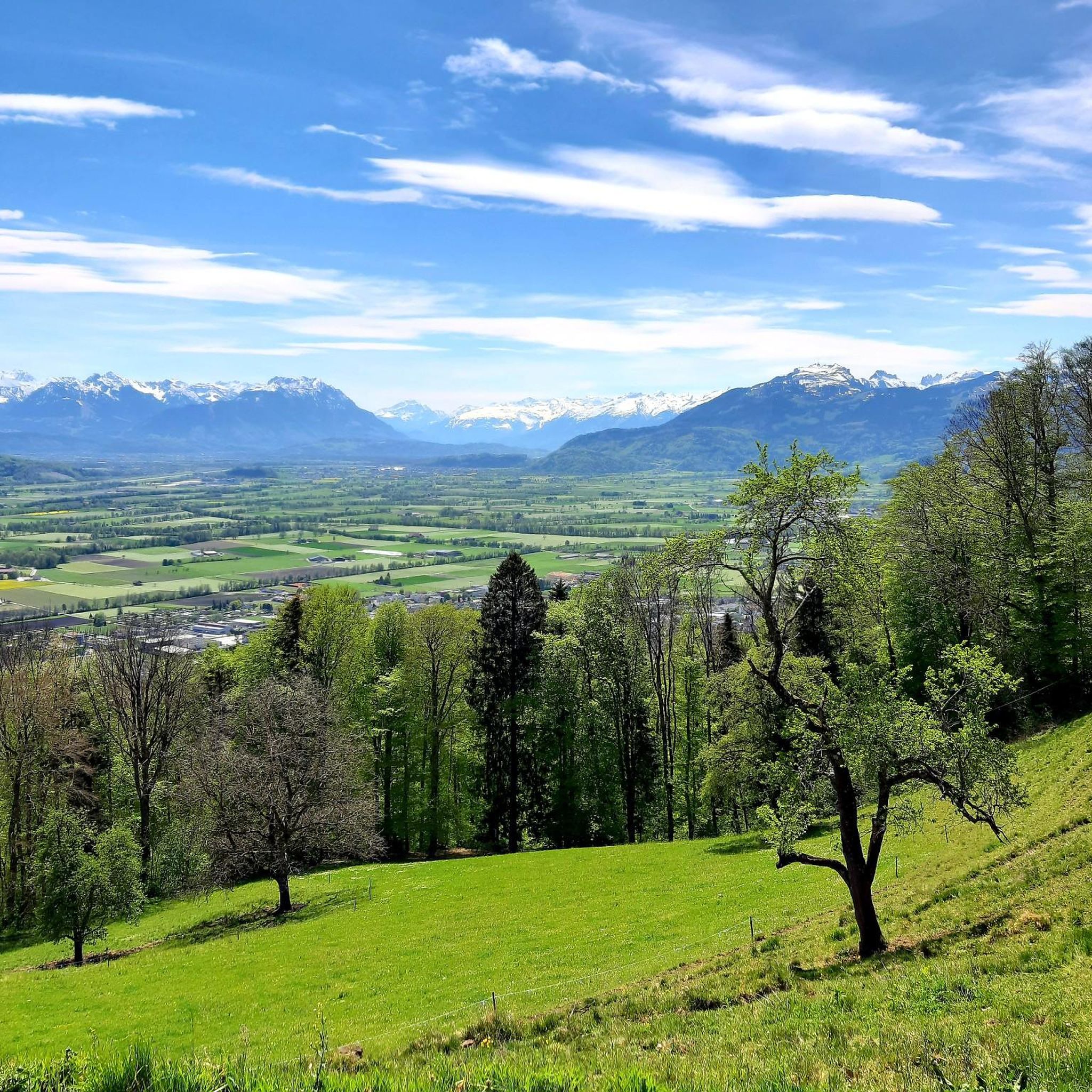
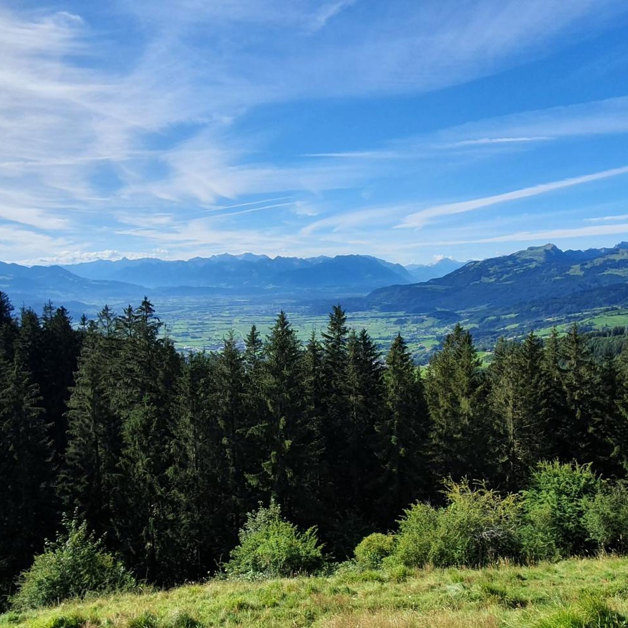
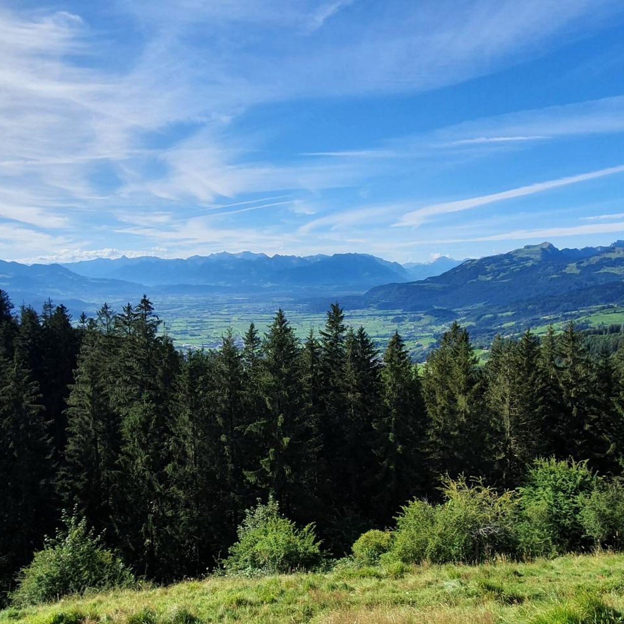
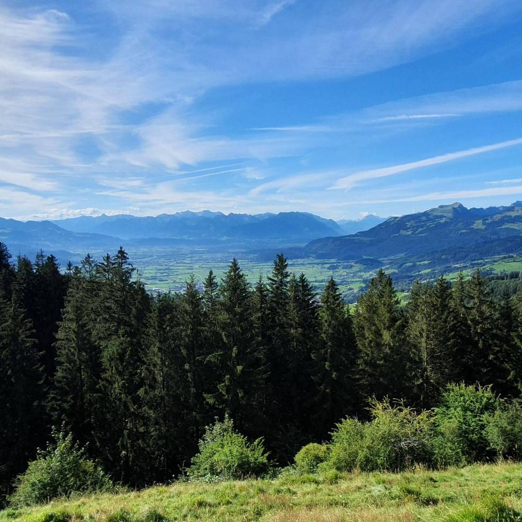
Other adventures around Oberegg

Tips from the Community

The restaurant is highly recommended, great food and cool drinks. Great view of the mountains and also to Lake Constance
0
0

At this junction, there are great views to the right and left, and if there are two of you, you can have fun communicating with each other in these little huts with the chimes.
0
0

Steep but pristine ascent through the forest
0
0

The restaurant offers unobstructed views in three directions.
0
1

Very tasty here. Ultra relaxed and a fantastic view.
0
0

Great Alp with terrace, definitely worth a visit.
8
0

The climb is rewarded with a fantastic view. Definitely worth a visit 😉.
0
0

The world-class nut peaks are ONLY available up there, because they are a special production ‼️
0
0
Frequently Asked Questions
What is the general difficulty level of mountaineering routes around Oberegg?
The mountaineering routes around Oberegg offer a mix of challenges. You'll find 5 moderate routes and 4 difficult routes, providing options for various skill levels. For example, the Hohe Kugel Summit (1,645 m) – Emser Hut loop from Hohenems is considered difficult, while the Geißensteig Forest Trail – Gäbrisseeli loop from Gais is a moderate option.
Are there any circular mountaineering routes in the Oberegg area?
Yes, many of the mountaineering routes around Oberegg are designed as loops, allowing you to start and end at the same point. Examples include the challenging Bepposteig – Emsbach Trail loop from Hohenems and the scenic Fähnerenspitz loop from Eggerstanden.
What is the typical duration for mountaineering routes in Oberegg?
The duration of mountaineering routes in Oberegg varies significantly based on difficulty and distance. Shorter, moderate routes like the Geißensteig Forest Trail – Gäbrisseeli loop from Gais can take around 3 hours 18 minutes, while more demanding routes such as the Hohe Kugel Summit (1,645 m) – Emser Hut loop from Hohenems can require up to 7 hours 38 minutes to complete.
When is the best time of year for mountaineering in Oberegg?
The best time for mountaineering in Oberegg is generally from late spring to early autumn (May to October) when the weather is more stable and trails are clear of snow. However, conditions can change rapidly in alpine regions, so always check local weather forecasts before heading out.
Are there any family-friendly mountaineering options around Oberegg?
While many routes are moderate to difficult, some of the moderate trails might be suitable for families with older children who are accustomed to hiking. The Geißensteig Forest Trail – Gäbrisseeli loop from Gais, for instance, offers a less strenuous option through forested areas.
What kind of natural attractions or landmarks can I expect to see along the routes?
The region around Oberegg offers diverse natural beauty. You might encounter highlights such as the Gäbrisseeli lake or reach summits like the Fähnerenspitz Summit, offering panoramic views. The routes often traverse alpine meadows and forested slopes characteristic of the Appenzell Innerrhoden region.
Where can I find parking for mountaineering trails in Oberegg?
Parking is typically available near the starting points of many routes. For trails beginning in towns like Hohenems, Gais, or Eggerstanden, you can often find designated parking areas. It's advisable to check specific route descriptions for detailed parking information before your trip.
Is winter mountaineering possible in Oberegg?
Winter mountaineering in Oberegg is possible but requires specialized equipment, experience, and careful planning due to snow, ice, and avalanche risks. Many trails may be impassable or require snowshoes/skis. Always check current conditions and avalanche warnings from local authorities before attempting winter ascents.
What do other mountaineers enjoy most about the routes in Oberegg?
The mountaineering routes in Oberegg are highly rated by the komoot community, with an average score of 5.0 stars from over 10 reviews. Users often praise the varied terrain, the panoramic views from higher points, and the diverse experience offered by the alpine landscapes and forested slopes.
Are there opportunities to see wildlife while mountaineering in Oberegg?
The varied terrain of the Appenzell Innerrhoden region, with its alpine landscapes and forested slopes, provides habitats for various wildlife. While sightings are never guaranteed, you might encounter local fauna, especially on quieter trails or during early morning and late evening hours.
Are there cafes or refreshment stops along the mountaineering routes?
While some longer routes, especially those passing through or near huts like the Emser Hut (as featured in the Emser Hut – Bepposteig loop from Hohenems), may offer refreshment opportunities, it's always best to carry sufficient water and snacks. Many routes start or end near towns where cafes and restaurants are available.
Most popular routes around Oberegg
Most popular attractions around Oberegg

Get inspired with the komoot mobile app


Explore more
Browse the best Mountain Hikes & Routes in other regions.
