The best road cycling routes around Altmärkische Höhe
4.4
(42)
583
riders
73
rides
Road cycling routes around Altmärkische Höhe traverse a largely flat to gently rolling landscape, characterized by an average elevation of 33 meters. The region is situated within the northern reaches of Saxony-Anhalt, separating the Jeetze and Biese/Aland river basins, which contributes to riverine landscapes and low Elbe River floodplains. This topography provides accessible road cycling options, with subtle elevation changes that add interest without being overly challenging.
Best road cycling routes around Altmärkische Höhe
- The most popular road cycling route…
Last updated: October 1, 2026
3.0
(1)
13
riders
29.4km
01:13
90m
90m
Easy road ride. Great for any fitness level. Mostly well-paved surfaces and easy to ride.
9
riders
37.9km
01:38
90m
90m
Moderate road ride. Great for any fitness level. Some segments of this route may be unpaved and difficult to ride.

5.0
(2)
9
riders
Moderate road ride. Great for any fitness level. Some segments of this route may be unpaved and difficult to ride.
11
riders
43.4km
01:41
50m
50m
Easy road ride. Great for any fitness level. Mostly well-paved surfaces and easy to ride.
13
riders
64.9km
02:35
90m
90m
Moderate road ride. Good fitness required. Some segments of this route may be unpaved and difficult to ride.
Get access to more routes and recommendations from other explorers.
Already have an account?
Our route recommendations are based on thousands of hikes, rides, and runs completed by other people on komoot.
Start today with a free account
Your next adventure awaits.
Tips from the Community

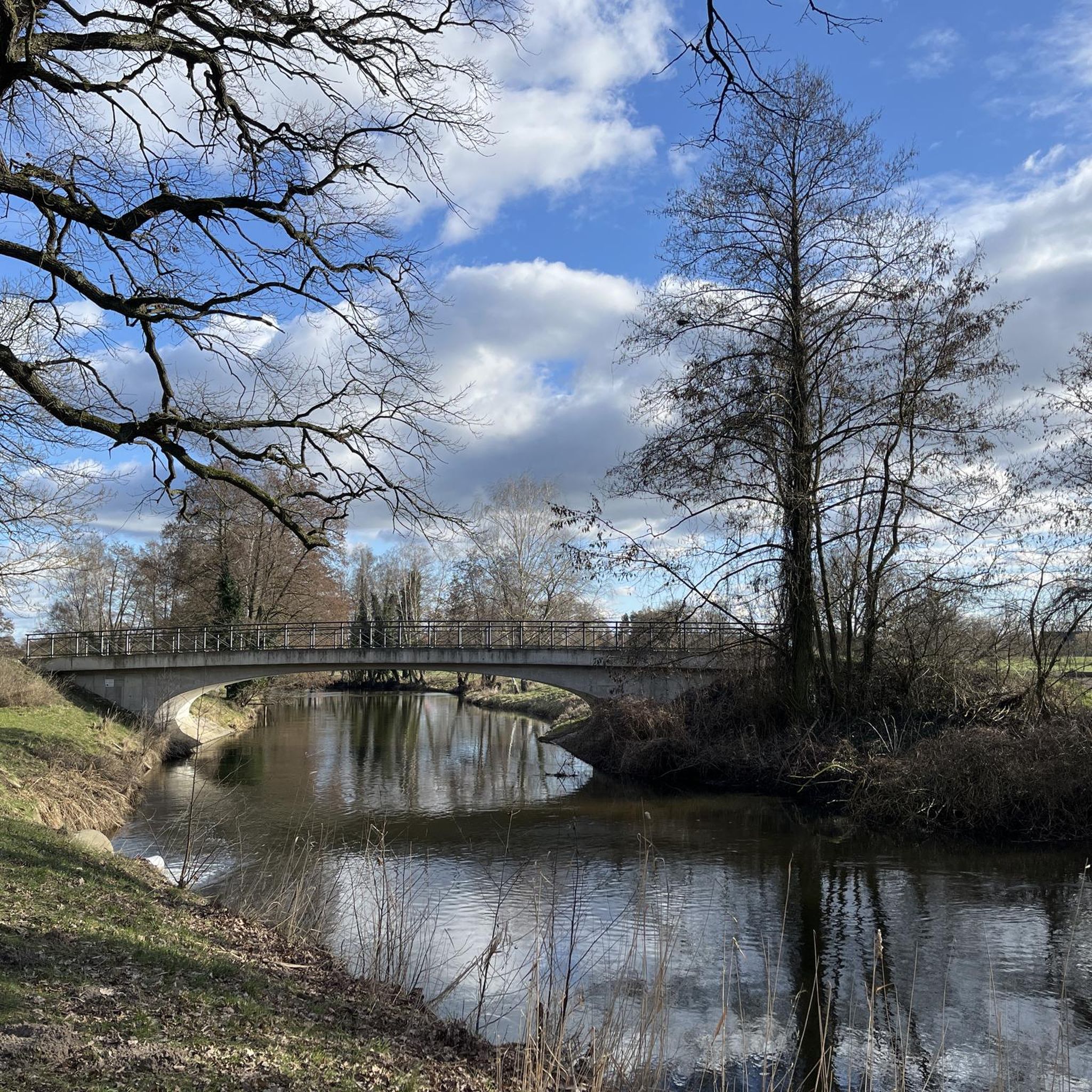
Magnificent view of the Aland and Seehausen.
0
0

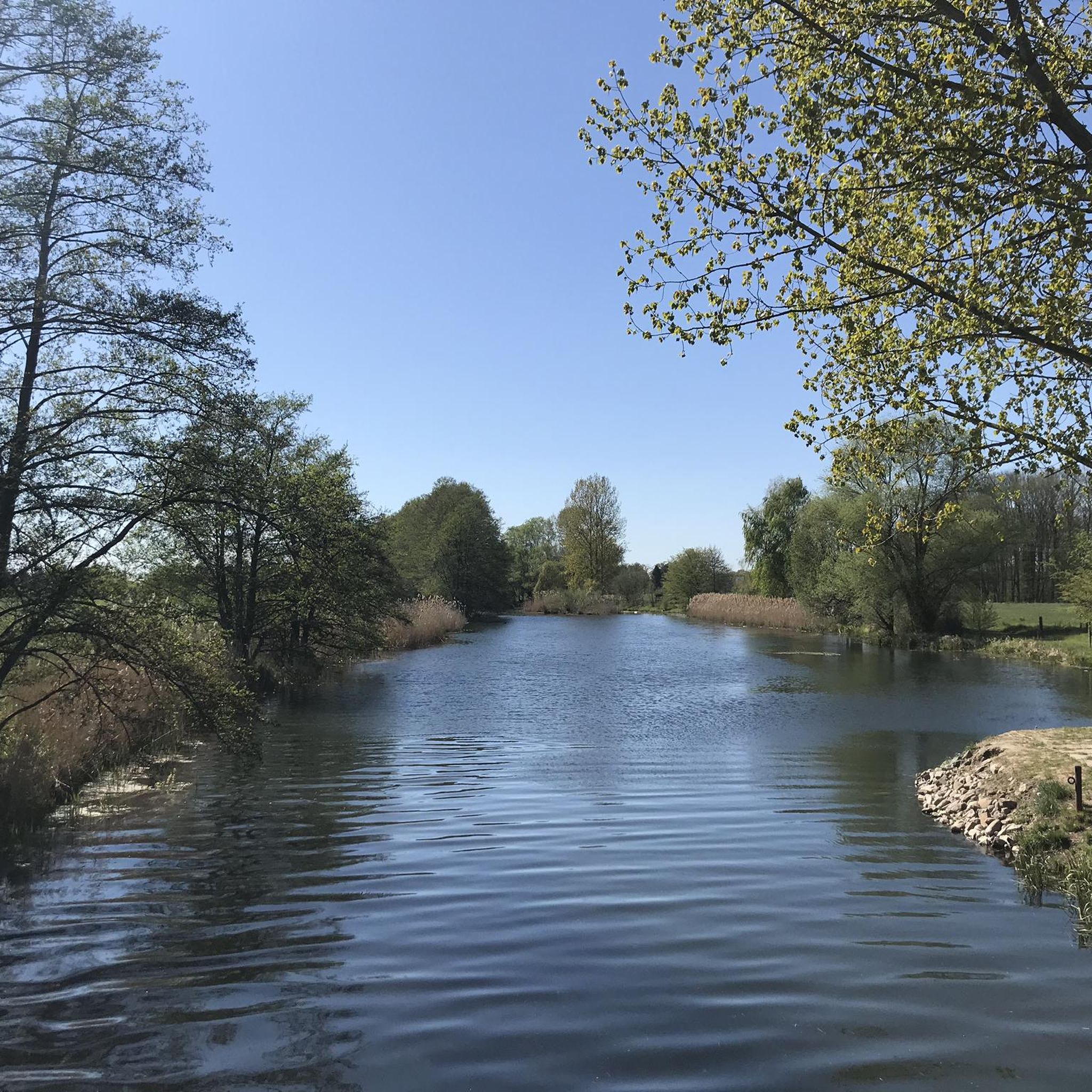
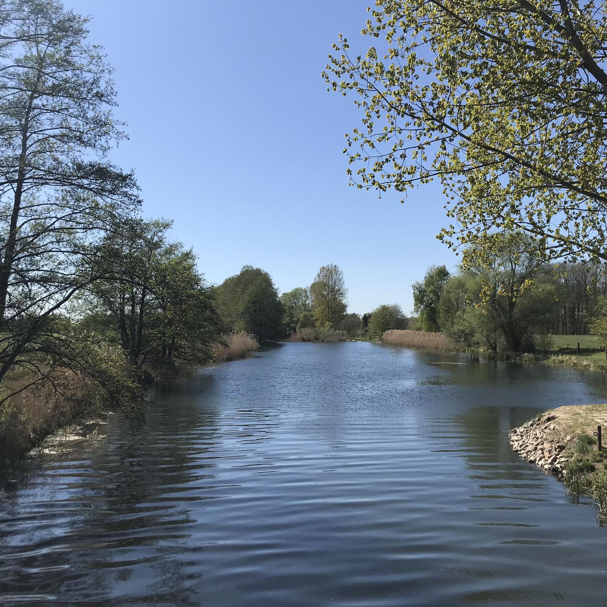
Quiet country road, great to drive!
0
0

Windmills have existed in Wanzer since at least 1611. This particular windmill was built in 1805, though originally in Pollitz, 3 km away. It was moved to Wanzer in 1868 and is now maintained by many volunteers. We were lucky enough to witness an interior inspection.
0
0

The Helicopter
0
0

Good asphalt road to the Elbe, beautiful scenery
0
0
When you travel along the Elbe, you usually don't see much of the river, as it's behind the dike. Here you have the opportunity to rest on top of the dike. Wonderful view.
0
0
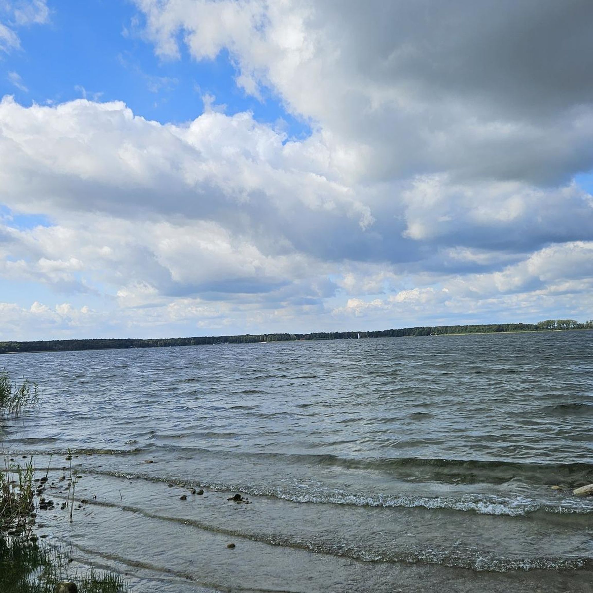
You drive along the large swimming pool for a while. Behind it, you have this beautiful view of the water. It's best in the evening at sunset, of course.
0
0
A very nice road cycling area: due to the remote location, practically no traffic, best asphalt, great scenery
0
0
Frequently Asked Questions
What is the general terrain like for road cycling in Altmärkische Höhe?
The Altmärkische Höhe region features a largely flat to gently rolling landscape, with an average elevation of 33 meters. This topography, influenced by the Jeetze and Biese/Aland river basins and low Elbe River floodplains, provides accessible road cycling options with subtle elevation changes that add interest without being overly challenging. It's well-suited for a range of fitness levels.
How many road cycling routes are available in Altmärkische Höhe?
There are over 80 road cycling routes around Altmärkische Höhe documented on komoot, offering a wide variety of options for exploration. These routes are highly rated by the komoot community, with an average score of 4.4 stars from over 40 reviews.
Are there easy road cycling routes suitable for beginners or families?
Yes, Altmärkische Höhe offers a good selection of easy routes. About 16 of the routes are classified as easy, making them ideal for beginners or family outings. An example is the Dequede TV Tower – Dequede Village Church loop from Seehausen, an easy 18.2-mile (29.4 km) path that offers pleasant views through local village scenery.
What kind of attractions or landmarks can I see along the road cycling routes?
Road cycling routes in Altmärkische Höhe often pass by historical sites and natural features. You can explore places like the Arendsee Monastery Ruins, a notable historical destination. Many routes also offer views of the Dequede TV Tower and connect various village churches, showcasing the region's cultural heritage. The wider Altmark region is known for its charming small towns and impressive brick architecture.
Are there any scenic viewpoints or natural highlights to discover?
Absolutely. The region's riverine landscapes and expansive meadows provide many scenic stretches. The nearby Arendsee, the largest natural lake in Saxony-Anhalt, offers beautiful lakeside views and attractions like the Arendsee Beach. You might also find peaceful spots like the Rest Area Under the Aland Bridge, which features a covered resting place.
What is the typical length and duration of road cycling routes in this area?
The road cycling routes around Altmärkische Höhe vary in length, but many are designed for enjoyable day trips. For instance, the Schönberg Village Church – St. Petri Church, Seehausen loop from Seehausen is an easy 21.4-mile (34.5 km) trail that typically takes about 1 hour 22 minutes. Another popular option, the Dequede TV Tower – St. Petri Church, Seehausen loop from Seehausen, covers 23.5 miles (37.9 km) and can be completed in about 1 hour 38 minutes.
Can I find loop routes for road cycling in Altmärkische Höhe?
Yes, many of the road cycling routes in Altmärkische Höhe are designed as loops, allowing you to start and end at the same point without retracing your path. Examples include the St. Petri Church Seehausen – Wahrenberg Village Church loop from Seehausen, which is a moderate 31.6 km route, and the Wanzer Post Mill – Aulosen Village Church loop from Seehausen, an easy 43.2 km ride.
Are there places to eat or rest along the road cycling routes?
While specific cafes on every route aren't detailed, the region's villages and towns offer opportunities for breaks. Near Arendsee, you can find places like the Kagel Fishery Arendsee for refreshments. Additionally, designated rest areas, such as the Rest area and lakeside benches at Arendsee, provide convenient spots to pause and enjoy the scenery.
What is the best season for road biking in Altmärkische Höhe?
The gentle topography of Altmärkische Höhe makes it suitable for road cycling across multiple seasons. Spring and autumn offer pleasant temperatures and beautiful natural scenery, with autumn providing vibrant colors. Summer is also popular, though it's advisable to start earlier in the day to avoid the midday heat. The region's low elevation means routes are generally accessible for much of the year.
What makes road cycling in Altmärkische Höhe unique compared to other regions?
Altmärkische Höhe stands out for its combination of accessible, largely flat to gently rolling terrain, making it enjoyable for a wide range of cyclists. The region's character is defined by its river basins, expansive meadows, and the proximity to the large natural Arendsee lake. It offers a blend of natural beauty and historical charm, with routes connecting picturesque villages and cultural landmarks, providing a serene and engaging cycling experience.
Are there any opportunities to observe wildlife while road cycling?
Yes, the Altmark region, which encompasses Altmärkische Höhe, is known for its diverse natural areas, including two biosphere reserves, Drömling and Middle Elbe. While road cycling primarily keeps you on paved surfaces, these protected areas and the general rural landscape with riverine environments and meadows offer excellent opportunities for nature observation and spotting local wildlife, especially birds.
Most popular routes around Altmärkische Höhe
Most popular attractions around Altmärkische Höhe

Get inspired with the komoot mobile app


Explore more
Browse the best Road cycling routes in other regions.
