The best running trails around Montoulieu
4.4
(79)
3,757
runners
245
runs
Jogging around Montoulieu offers access to a diverse landscape situated in the Cévennes foothills, characterized by rolling plains, vineyards, and Mediterranean vegetation. The region features a varied topography with green and dry reliefs, forests, meadows, and river systems like the Alzon and Hérault. This blend provides a range of running experiences, from gentle paths through agricultural areas to more challenging routes in the garrigue and surrounding mountains.
Best jogging routes around Montoulieu
- The most popular jogging route is Mont Fourcat…
Last updated: May 23, 2026
5.0
(2)
158
runners
27.1km
04:24
1,620m
1,620m
Hard run. Very good fitness required. Sure-footedness, sturdy shoes and alpine experience required.
3.0
(1)
35
runners
15.2km
02:04
620m
620m
Hard run. Very good fitness required. Mostly accessible paths. Some sure footedness required.

Sign up for free
113
runners
25.5km
03:50
1,350m
1,350m
Hard run. Very good fitness required. Mostly accessible paths. Some sure footedness required.
5.0
(1)
29
runners
9.61km
01:32
330m
330m
Hard run. Very good fitness required. Sure-footedness, sturdy shoes and alpine experience required.
27
runners
10.3km
01:21
360m
360m
Hard run. Very good fitness required. Mostly accessible paths. Some sure footedness required.
Get access to more routes and recommendations from other explorers.
Sign up for free
Already have an account?
Our route recommendations are based on thousands of hikes, rides, and runs completed by other people on komoot.
Start today with a free account
Your next adventure awaits.
Login or Signup
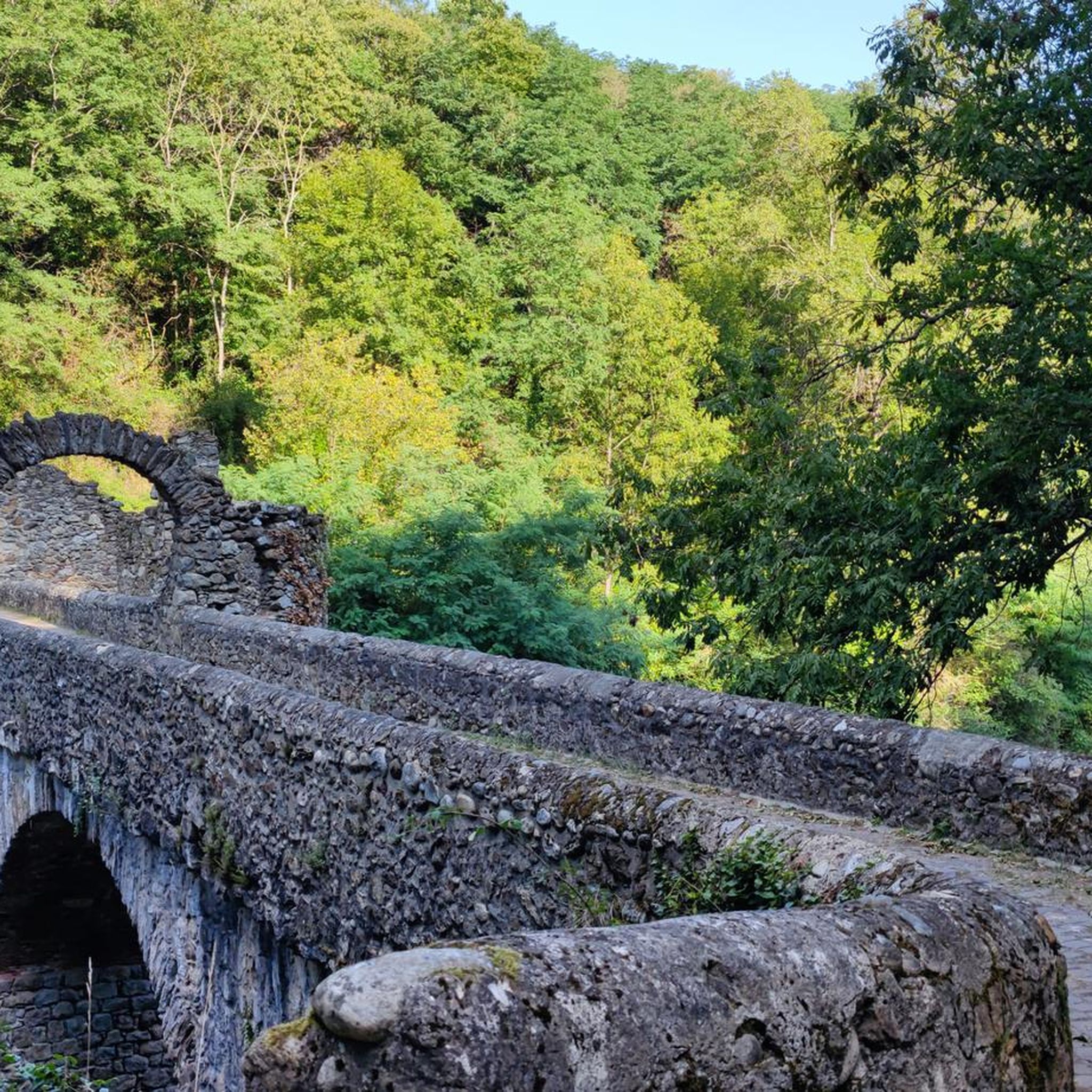
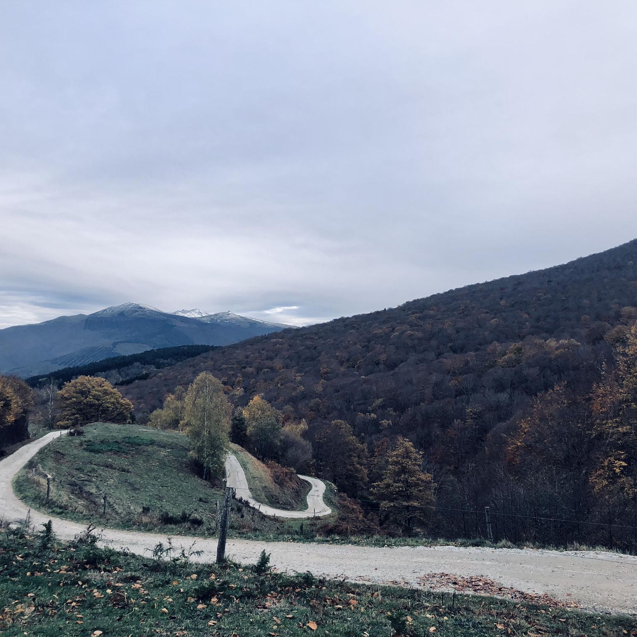
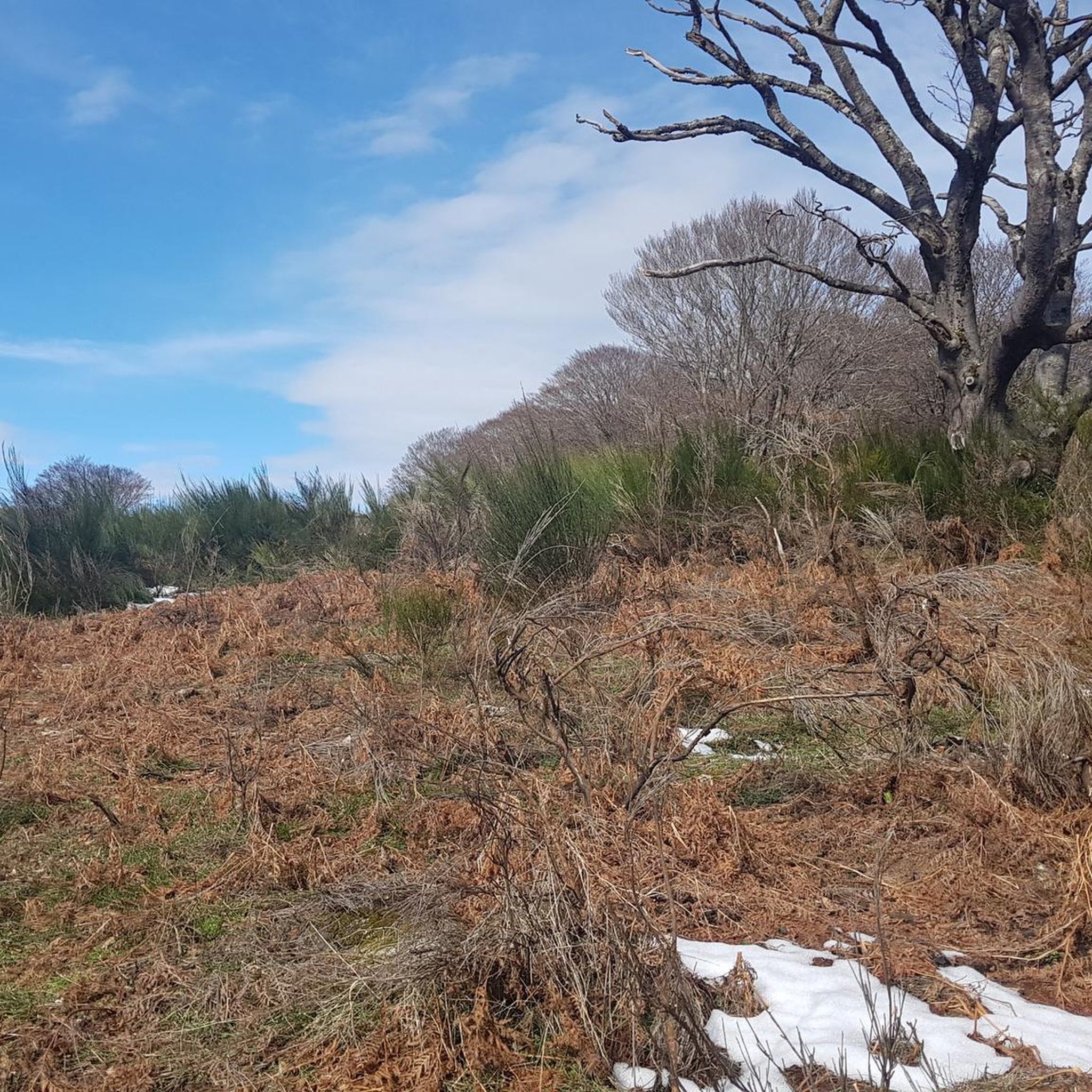
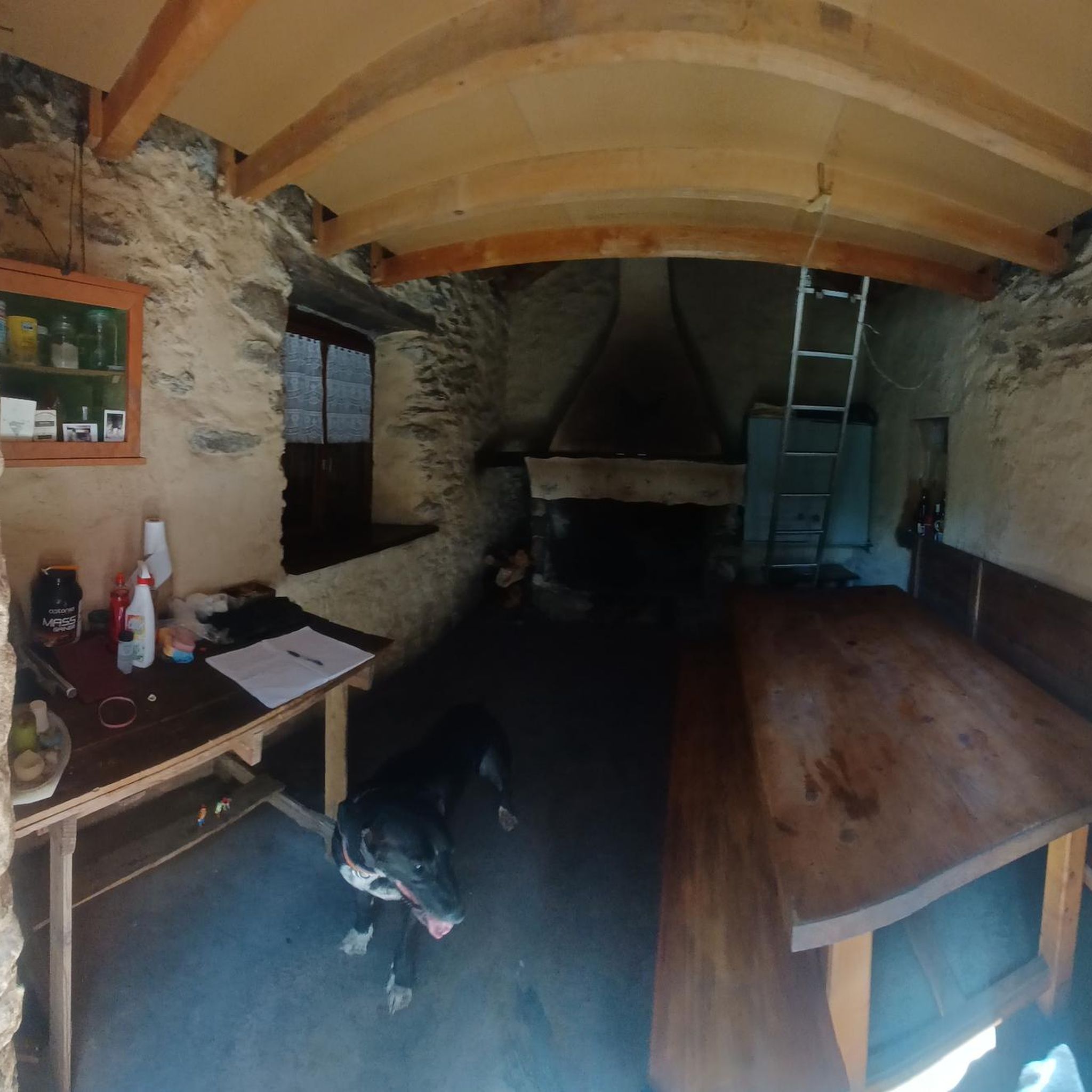

Tips from the Community

A magnificent location offering stunning views of the Ariège Pyrenees: the Montcalm Massif, the Bassiès Massif, the Beille Plateau, and more. Easily accessible from Croquié in both summer and winter, provided you're well-equipped and at least a little fit (800m+). Its only drawback: it's very crowded, especially in winter.
0
0

Possibility of bivouac and magnificent natural spectacle by numerous griffon vultures
1
1


A great climb, it's beautiful no matter where you look!
0
0

Popular hike. Constant and easy climb
0
0

Imposing church for the place.
2
0

Beautiful view of the surroundings of Foix, of the forests, of the distribution of the villages, orientation of the geology. It is a known and heritage spot when you live in the vicinity of Foix. Easy to reach by car or bike. Departures of walks. Pastoral with cows or horses in summer, regular snow in winter.
3
1
Frequently Asked Questions
How many running routes are available around Montoulieu?
There are over 230 running routes around Montoulieu, offering a wide variety of options for all skill levels. This includes 13 easy routes, 84 moderate routes, and 134 difficult routes, ensuring there's a trail for every runner.
Are there any easy running trails suitable for beginners in Montoulieu?
Yes, Montoulieu offers 13 easy running routes perfect for beginners or those looking for a relaxed jog. These trails often wind through vineyards or along riverbanks, providing a gentle introduction to the region's beautiful landscapes.
What kind of landscapes can I expect to see while running in Montoulieu?
Running in Montoulieu offers a diverse range of landscapes. You'll encounter rolling plains, picturesque vineyards, and classic Mediterranean vegetation. Many routes feature green forests, open meadows, and scenic paths along rivers like the Alzon and Hérault. For more challenging runs, you can explore the garrigue and the foothills of the Cévennes mountains, enjoying panoramic views.
Are there any running routes that offer views of mountains or significant natural features?
Absolutely. Many trails provide stunning views of the Cévennes and Mont Aigoual. For instance, the Mount Fourcat 2,002 m – Mont Fourcat Shelter loop from Saint-Paul-de-Jarrat offers expansive mountain vistas. The region also features the impressive Mount Fourcat and the Panoramic View of the Ariège Pyrenees, which can be incorporated into longer runs.
Can I find running routes with waterfalls or other natural monuments nearby?
Yes, the area around Montoulieu boasts several natural monuments and features. You can discover the Cascades de la Piche, a beautiful waterfall, or explore the unique Dolomites of Roquefixade. The Forêt Domaniale de l'Aigoual also features hidden waterfalls and ancient chestnut groves, perfect for a refreshing run.
Are there any circular running routes around Montoulieu?
Yes, many of the running routes around Montoulieu are circular, allowing you to start and finish in the same location. A popular option is the Le Picou loop from Bout De Touron, which offers a challenging yet rewarding experience through the local terrain.
What do other runners enjoy most about jogging in Montoulieu?
The running routes in Montoulieu are highly rated by the komoot community, with an average score of 4.3 stars from over 80 reviews. Runners often praise the diverse terrain, from tranquil riverside paths to challenging mountain trails, and the stunning panoramic views of the Cévennes and Mont Aigoual.
Are there any historical landmarks or points of interest along the running trails?
Yes, the region blends natural beauty with historical sites. The 12th-century Castellas, a fortified village, overlooks Montoulieu and can be reached via a scenic route, offering both exercise and a glimpse into medieval history. While not directly on a running path, the impressive Grotte des Demoiselles is also nearby, adding to the area's appeal.
Are there any running routes suitable for families with children?
While many routes in Montoulieu are more challenging, the region offers easier paths that can be suitable for families. The 'Sentier des Cèdres' (Cedar Trail) in the Forêt Domaniale de l'Aigoual is an easy 5-kilometer trail through majestic hundred-year-old cedars, providing a pleasant and magical experience for all ages.
Can I bring my dog on the running trails in Montoulieu?
Many trails in the Montoulieu region are dog-friendly, especially those through forests and open countryside. However, it's always recommended to keep your dog on a leash, particularly in nature reserves or agricultural areas, and to check specific trail regulations before you go.
Are there options for parking near the running trailheads in Montoulieu?
Yes, many trailheads around Montoulieu, especially those for popular routes, offer designated parking areas. For specific routes, you can often find information about parking availability on the individual route pages on komoot.
What is the best time of year to go running in Montoulieu?
Montoulieu is enjoyable for running throughout much of the year. Spring and autumn offer pleasant temperatures and vibrant scenery. During warmer months, riverside paths along the Alzon and Hérault rivers provide shaded and cooler environments. Winter running is also possible, though some higher elevation trails might require more preparation.
Most popular routes around Montoulieu
Most popular attractions around Montoulieu

Get inspired with the komoot mobile app


Explore more
Browse the best Running Trails & Routes in other regions.
