The best mountain hikes around Orus
5.0
(2)
13
hikers
3
hikes
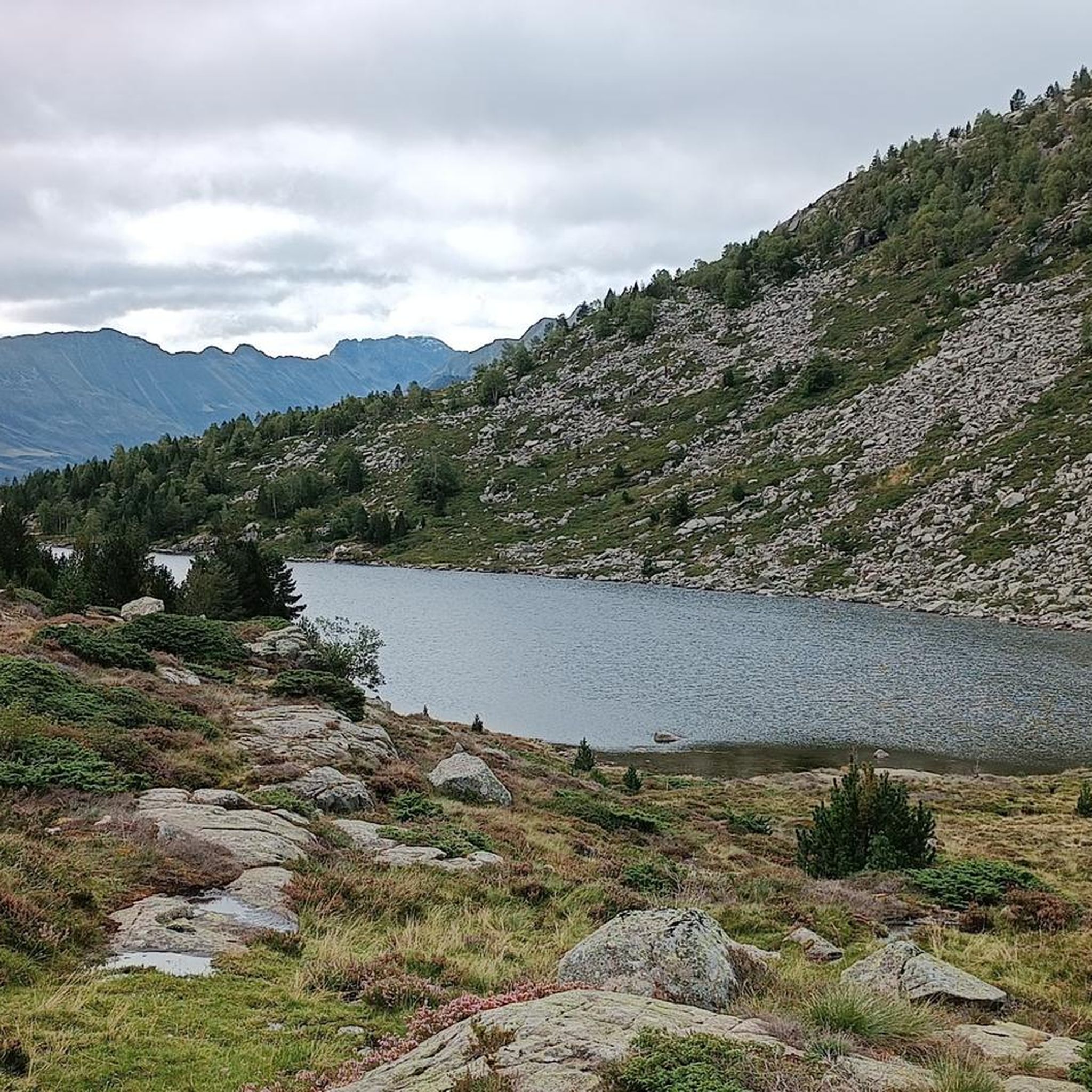
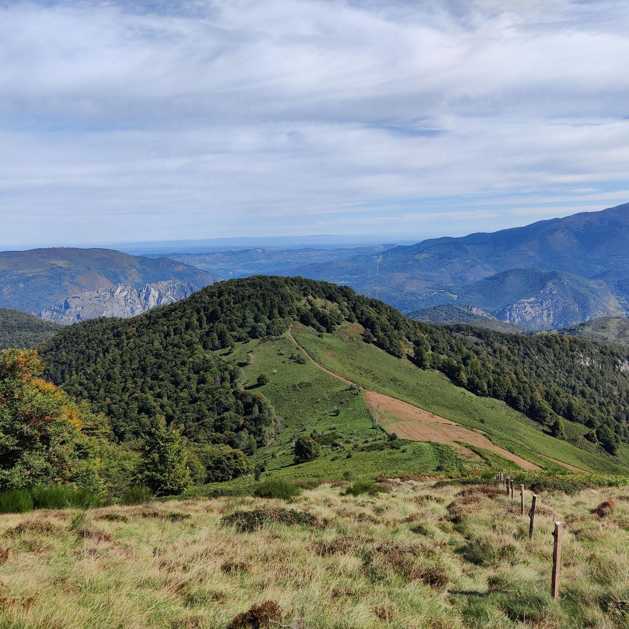
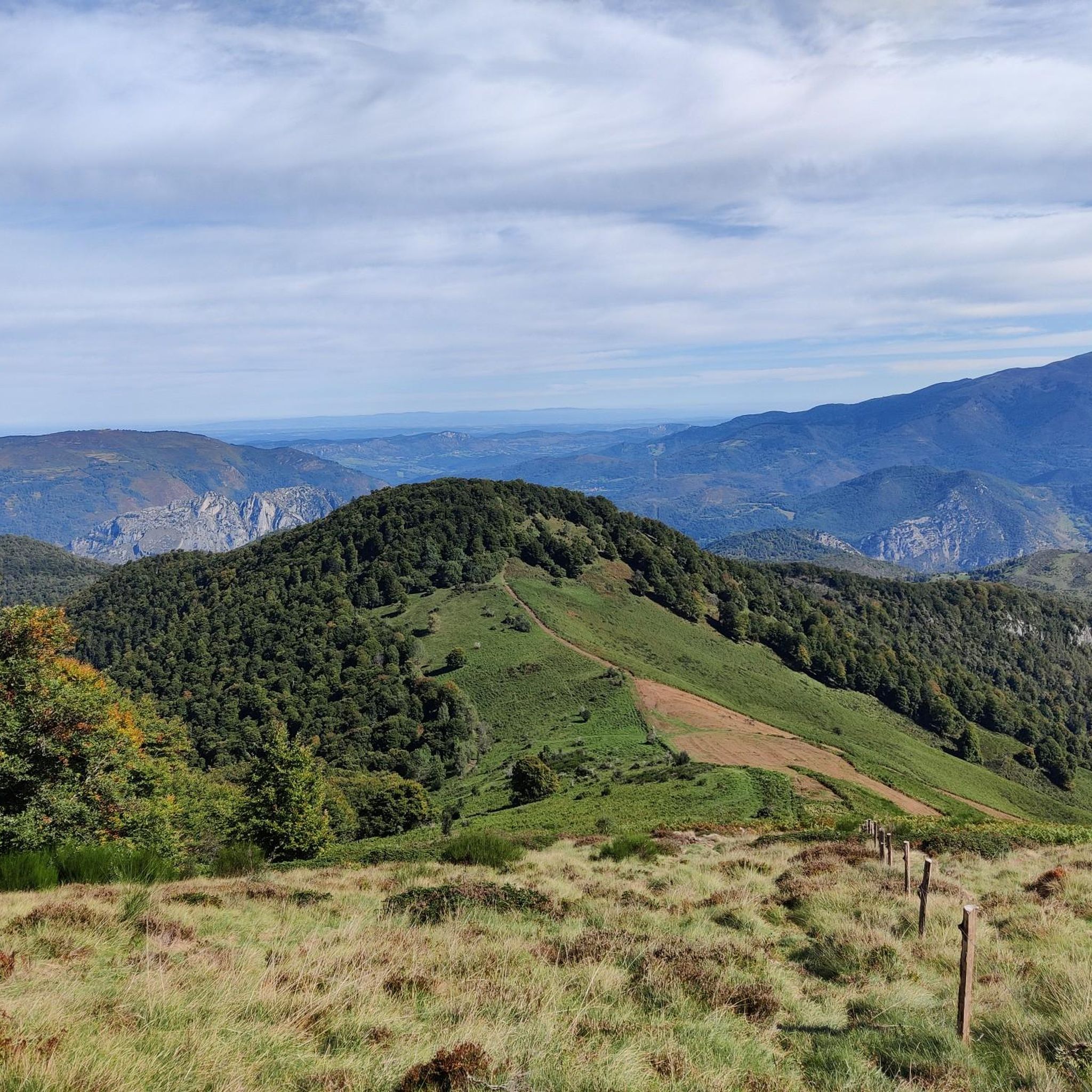
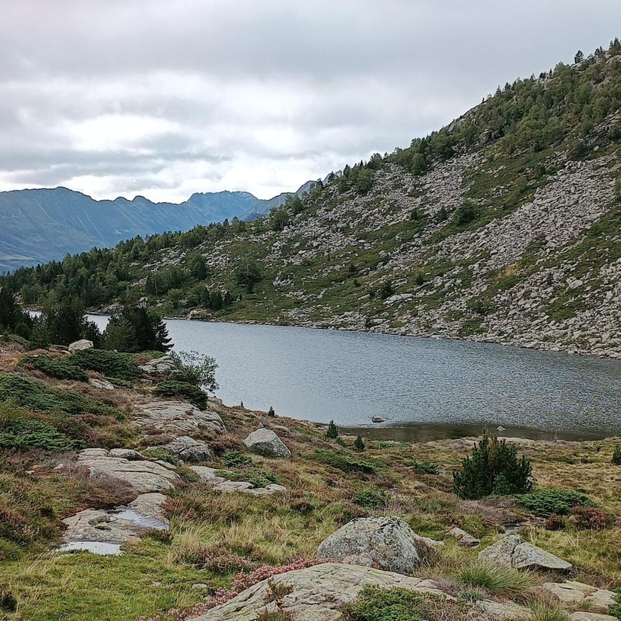
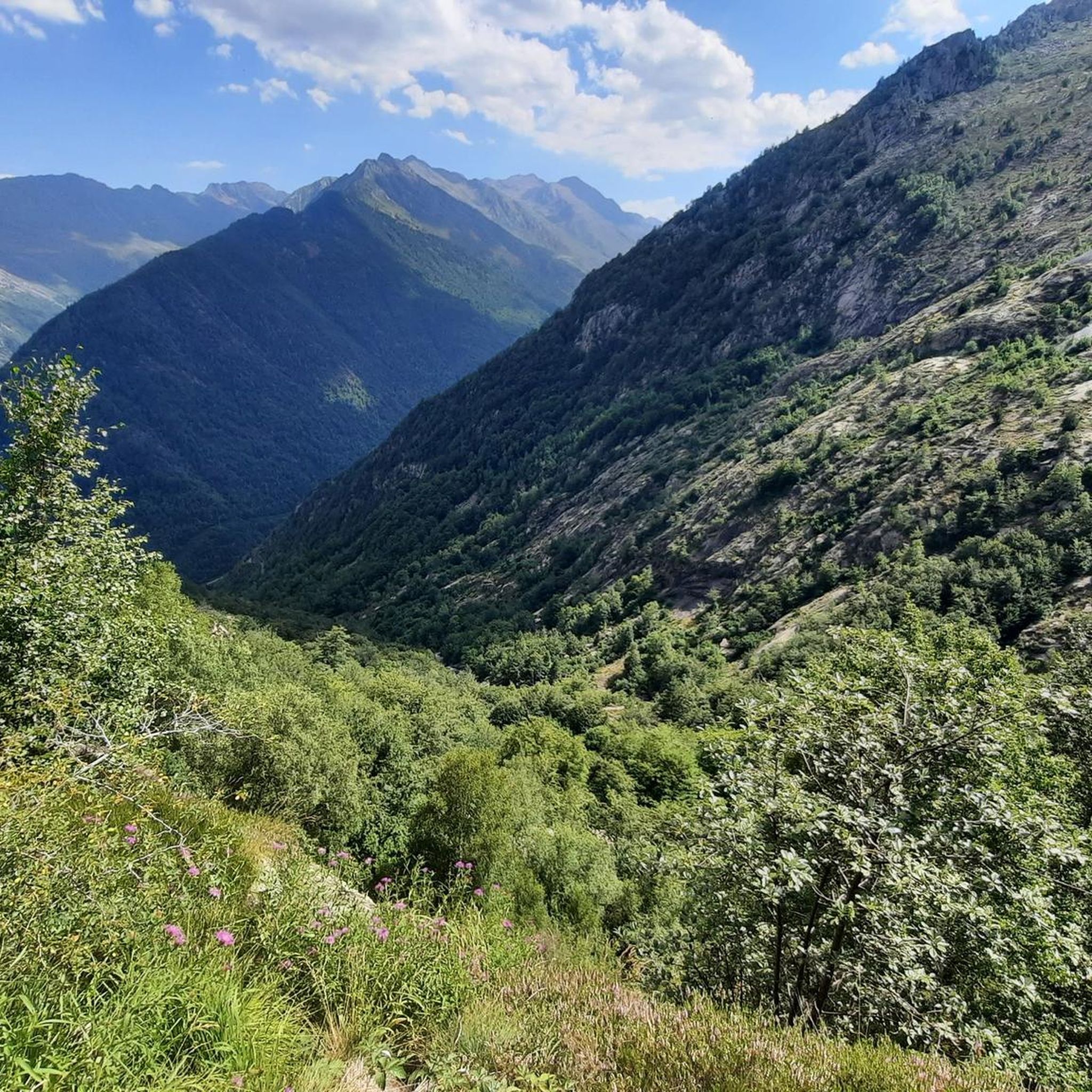
Mountaineering routes around Orus are situated in the French Pyrenees, characterized by high mountain passes, glacial lakes, and rugged peaks. The region offers a diverse landscape of alpine meadows, dense forests, and rocky terrain, providing varied challenges for mountaineers. Elevations typically range significantly, with routes often ascending to prominent summits and offering panoramic views of the surrounding ranges. This area is known for its challenging ascents and remote, wild environments.
Best mountaineering routes around Orus
- The most popular mountaineering route…
Last updated: October 21, 2026
6
hikers
8.88km
04:15
620m
620m
Hard mountaineering route. Good fitness required. Sure-footedness, sturdy shoes and alpine experience required.
5.0
(1)
4
hikers
14.6km
07:13
1,160m
1,160m
Hard mountaineering route. Very good fitness required. Sure-footedness, sturdy shoes and alpine experience required.

2
hikers
14.1km
04:31
560m
560m
Moderate mountaineering route. Good fitness required. Easily walkable paths.
5.0
(1)
1
hikers
Moderate mountaineering route. Good fitness required. Mostly walkable paths. Sure-footedness required.
Our route recommendations are based on thousands of hikes, rides, and runs completed by other people on komoot.
Start today with a free account
Your next adventure awaits.

Tips from the Community


A magnificent peak, accessible to any experienced hiker. However, you must be careful to wait until the snow has completely melted before making the ascent.
2
0

Climb made by the Col de la Pourtanelle quite physical up to the Pic des Trois Seigneurs
1
1

Beautiful town with idyllic river views.
0
0

Almost everything is a highlight here!
0
0

Beautiful view of the mountains. Quite challenging hiking trail.
0
0
Nice trail along the side of the mountain.
0
0
Frequently Asked Questions
How many mountaineering routes are available around Orus?
There are 6 mountaineering routes around Orus, offering a range of challenging ascents in the French Pyrenees. These routes are generally considered difficult, with 2 moderate and 4 difficult options.
Are there any easier mountaineering routes for beginners in Orus?
The mountaineering routes around Orus are primarily designed for experienced mountaineers, with 4 routes rated as difficult and 2 as moderate. There are no routes classified as easy. If you are looking for a moderate challenge, consider the Pic des Trois Seigneurs loop from Port de Lers, which covers 10.1 km with significant elevation gain.
What kind of natural features can I expect to see on mountaineering routes near Orus?
The routes around Orus traverse the majestic French Pyrenees, offering diverse landscapes. You'll encounter high mountain passes, alpine meadows, dense forests, and rugged rocky terrain. The region is also known for its stunning water features, including glacial lakes and ponds like Izourt Pond and Étang d'Arbu, as well as dramatic glacial cirques.
Are there any circular mountaineering routes around Orus?
Yes, several mountaineering routes around Orus are circular. For example, the Étang d'Artax – Roc de Querquéou loop from Gourbit is a difficult 12.1 km path traversing high mountain terrain. Another option is the Embans Circus loop from Parking du Ressec, a 9.8 km trail through a dramatic glacial cirque.
What are the typical durations for mountaineering routes in Orus?
The mountaineering routes around Orus vary in length and duration. For instance, the Pic des Trois Seigneurs loop from Port de Lers typically takes around 5 hours 7 minutes to complete. Longer routes, like the Pic des Trois Seigneurs loop from Parking du Ressec, can take over 7 hours.
What are the best viewpoints or peaks to aim for on these routes?
Many routes offer panoramic views of the surrounding Pyrenean ranges. Prominent peaks and viewpoints include Three Lords' Peak, which is featured in several routes, and Saleix Pass. You can also find stunning vistas over alpine lakes such as Labant Pond from the Coumebière Plateau.
What do other mountaineers enjoy most about the routes around Orus?
The mountaineering routes around Orus are highly rated by the komoot community, with an average score of 4.8 stars from 8 reviews. Mountaineers often praise the challenging ascents, the remote and wild environments, and the stunning panoramic views of the Pyrenees.
Is it possible to reach the mountaineering routes around Orus using public transport?
The region around Orus is characterized by remote, wild environments in the French Pyrenees. While some larger towns in Ariège may have public transport connections, direct access to the starting points of these specific mountaineering routes often requires personal vehicle transport due to their high mountain locations. Parking is typically available at common trailheads such as Port de Lers or Parking du Ressec.
What is the best season for mountaineering in Orus?
The best season for mountaineering in the Pyrenees around Orus is typically from late spring to early autumn (June to September). During these months, snow has usually melted from higher elevations, and weather conditions are generally more stable, offering clearer paths and better visibility. Always check local weather forecasts and trail conditions before heading out.
Are dogs allowed on the mountaineering routes around Orus?
The Orus area is part of the Ariège Pyrenees Regional Nature Park, which has specific regulations regarding dogs to protect wildlife and livestock. While some trails may permit dogs on a leash, it's crucial to verify the specific rules for each route and highlight, especially in sensitive areas or during certain seasons. Always ensure your dog is under control and respect local guidelines.
What should I wear and bring for mountaineering in Orus?
Given the challenging nature of these routes and the variable mountain weather, it's essential to be well-prepared. Wear sturdy hiking boots with good ankle support, and layer your clothing to adapt to changing temperatures. Always carry waterproof and windproof outer layers, a map and compass or GPS device, sufficient water and food, a first-aid kit, and sun protection. Trekking poles are also highly recommended for stability on steep terrain.
Most popular attractions around Orus

Get inspired with the komoot mobile app


Explore more
Browse the best Mountain Hikes & Routes in other regions.
