The best mountain hikes around Beckenried
4.7
(69)
689
hikers
40
hikes
Mountaineering routes around Beckenried are situated in the Nidwalden canton of Switzerland, characterized by its alpine terrain and proximity to Lake Lucerne. The region features prominent peaks and ridges, offering challenging ascents and panoramic views. The landscape includes steep rock faces, high-altitude meadows, and forested lower slopes, providing a diverse environment for experienced mountaineers.
Best mountaineering routes around Beckenried
- The most popular mountaineering route is Haldigrat Lookout Tower – Brisen–Haldigrat Ridge Hike loop from Maria-Rickenbach, an 8.6 miles (13.9…
Last updated: September 26, 2026
5.0
(1)
27
hikers
14.2km
07:02
1,180m
1,180m
Hard mountaineering route. Very good fitness required. Sure-footedness, sturdy shoes and alpine experience required.
4.0
(2)
14
hikers
11.4km
06:54
1,130m
1,130m
Hard mountaineering route. Very good fitness required. Sure-footedness, sturdy shoes and alpine experience required.

5.0
(1)
13
hikers
Moderate mountaineering route. Good fitness required. Mostly accessible paths. Sure-footedness required.
11
hikers
8.71km
03:31
600m
600m
Hard mountaineering route. Good fitness required. Sure-footedness, sturdy shoes and alpine experience required.
12
hikers
15.8km
07:20
1,060m
1,060m
Hard mountaineering route. Very good fitness required. Sure-footedness, sturdy shoes and alpine experience required.
Get access to more routes and recommendations from other explorers.
Already have an account?
Our route recommendations are based on thousands of hikes, rides, and runs completed by other people on komoot.
Start today with a free account
Your next adventure awaits.
Popular around Beckenried
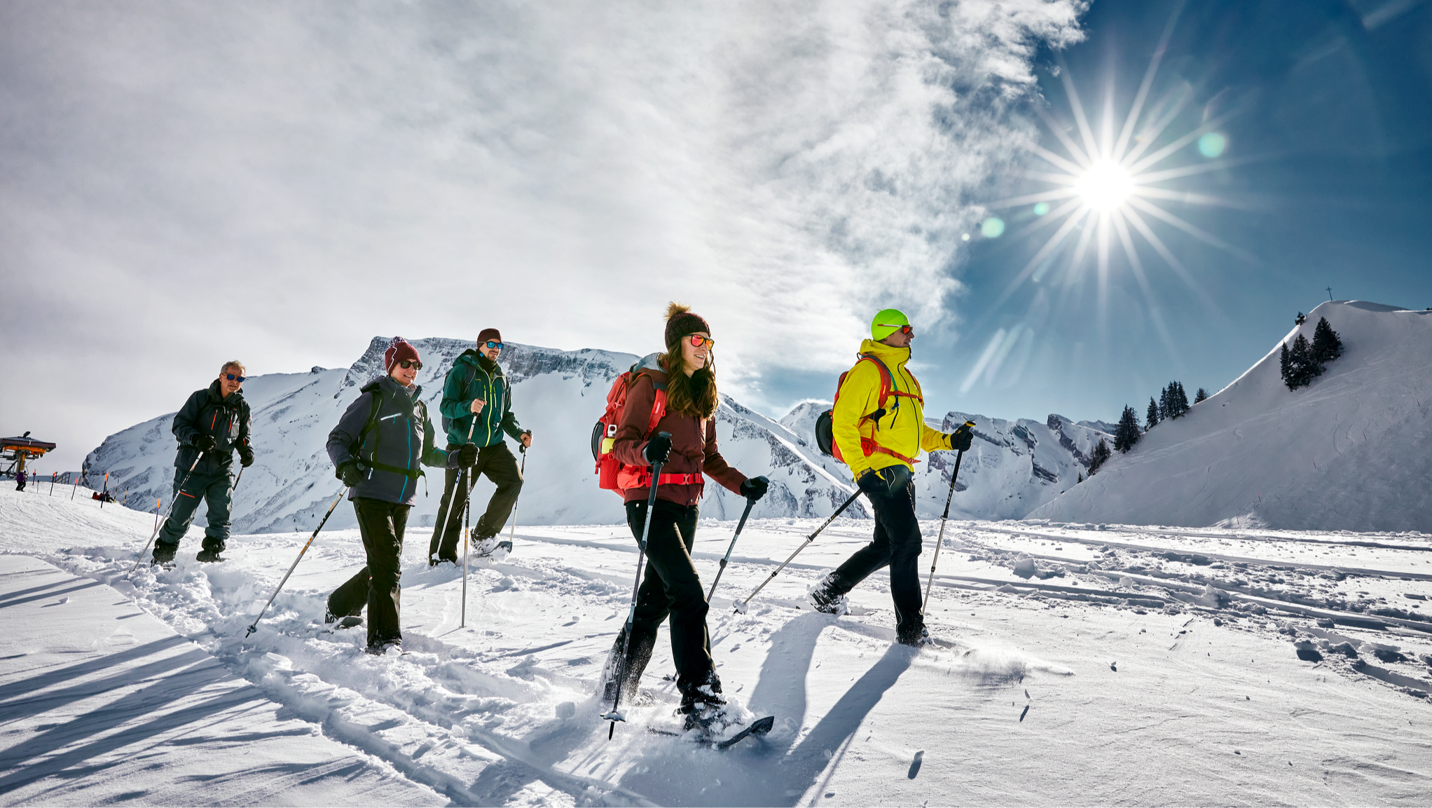
Snowshoeing in Nidwalden – Central Switzerland's winter worlds
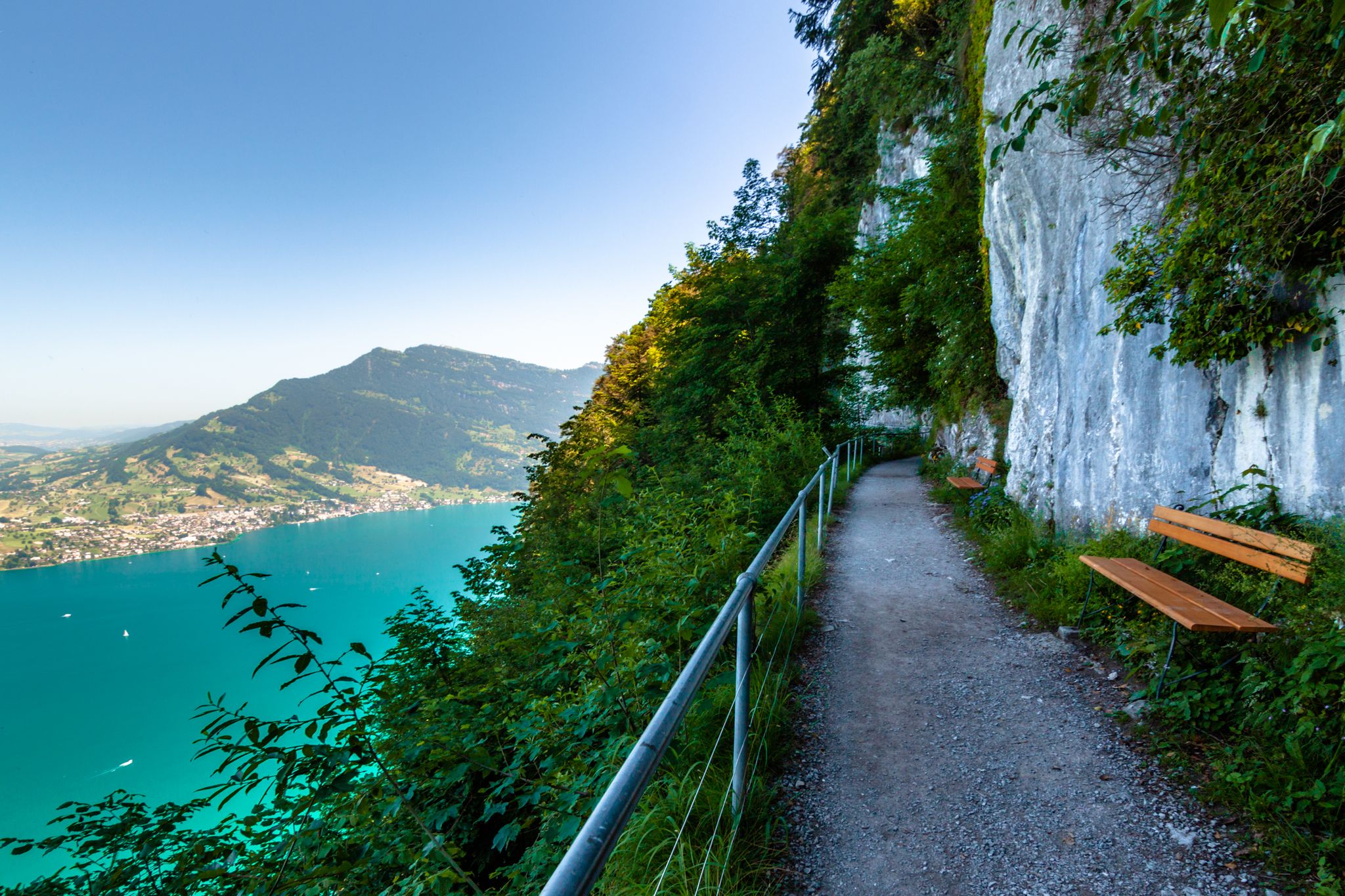
Utterly refreshing – 9 watery hikes in Nidwalden
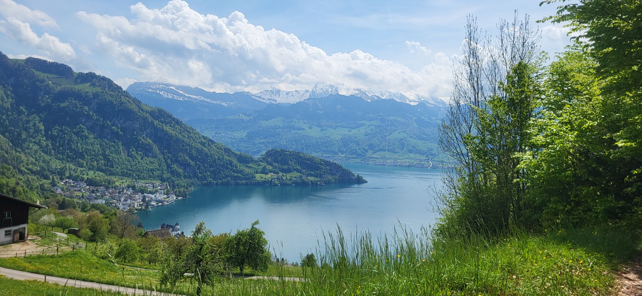
Waldstätterweg – On Route 98 around Lake Lucerne
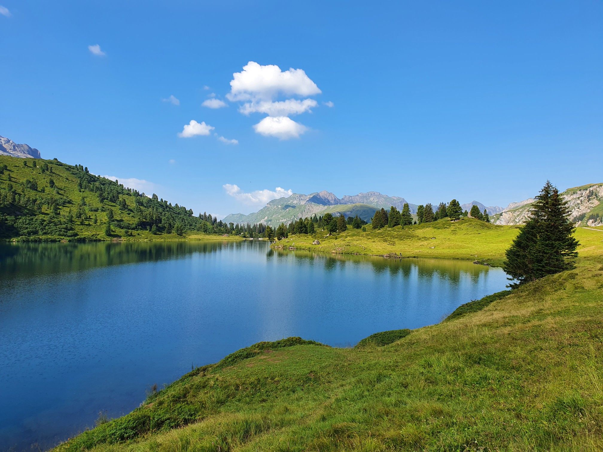
Pure variety on Switzerland’s picturesque Nidwalden Höhenweg
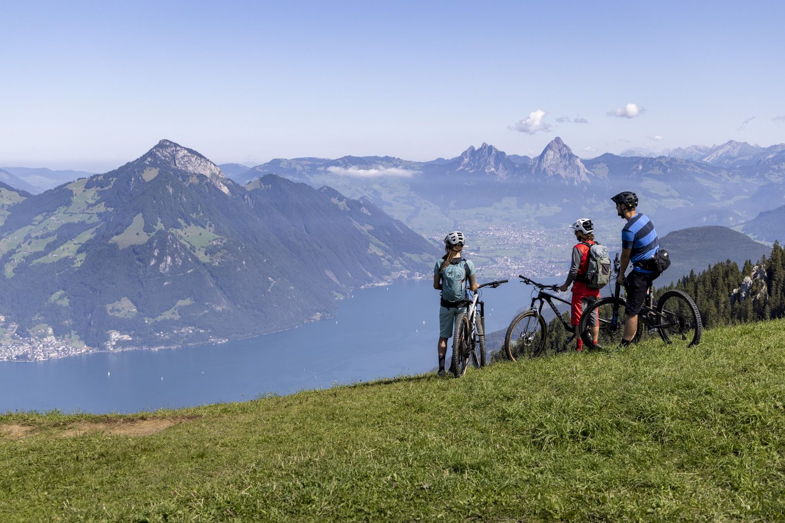
Fünf Bike Touren am Vierwaldstättersee
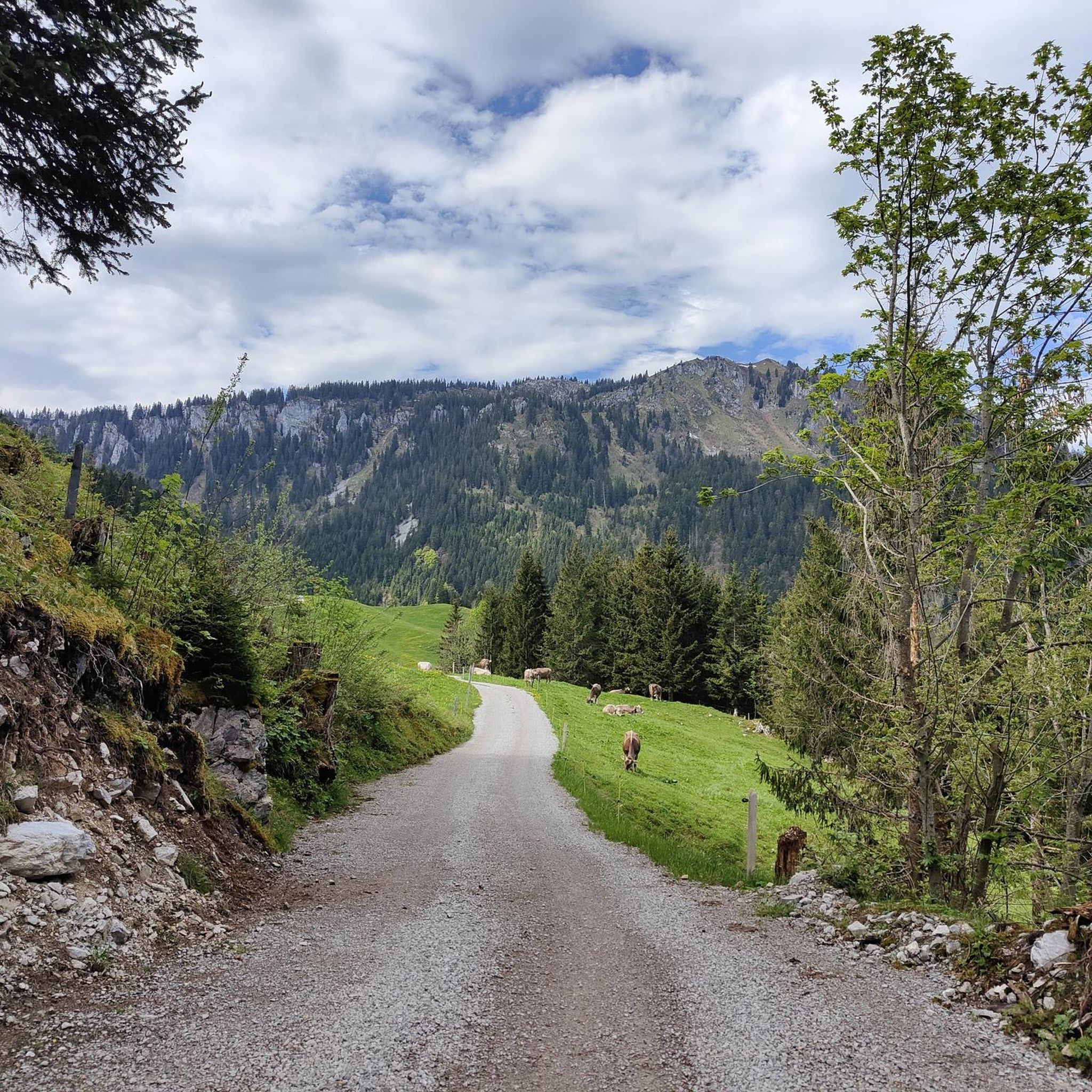
Hiking around Beckenried
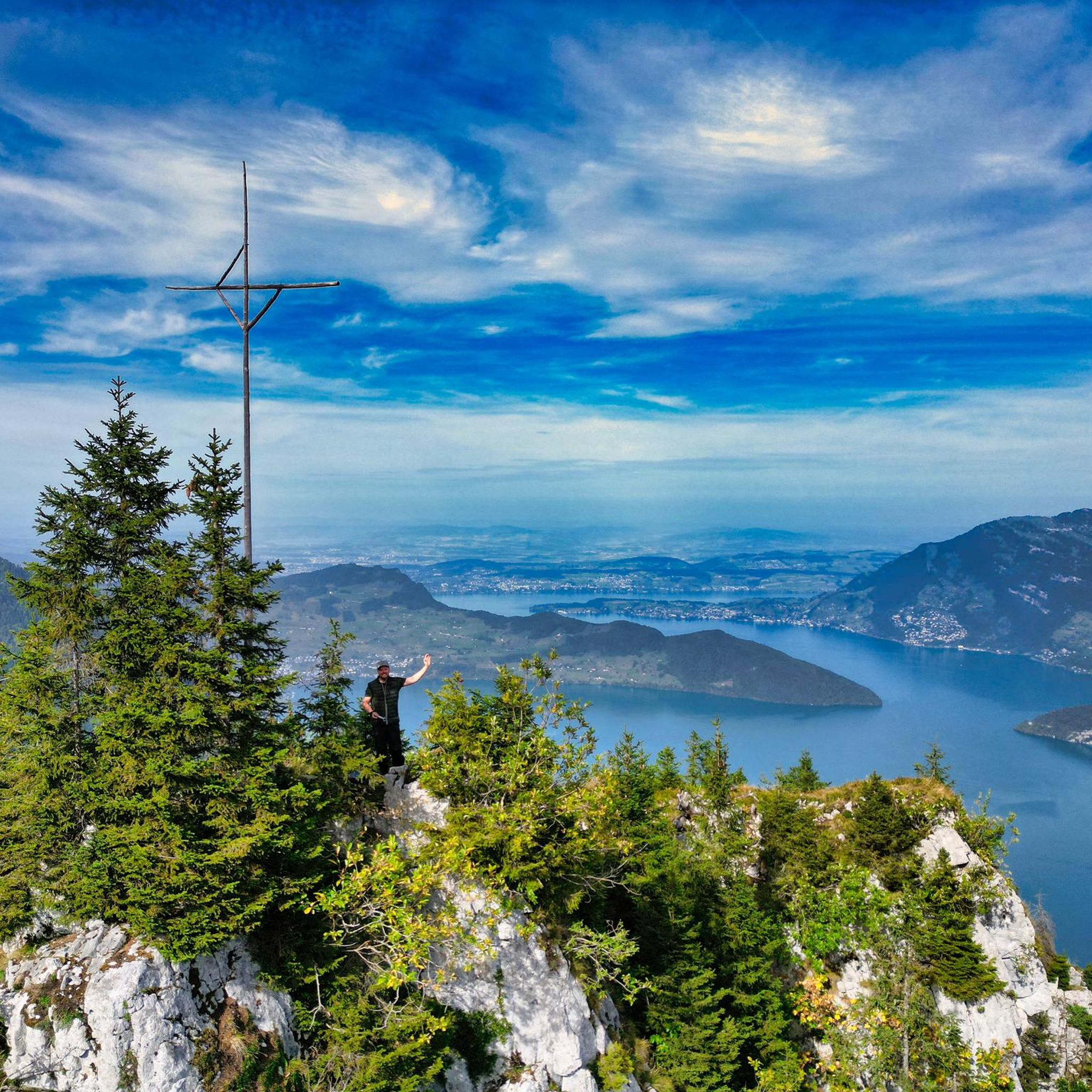
Cycling around Beckenried
Road Cycling Routes around Beckenried
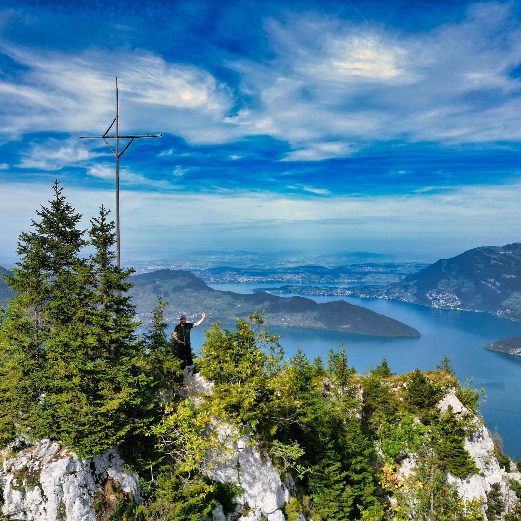
MTB Trails around Beckenried
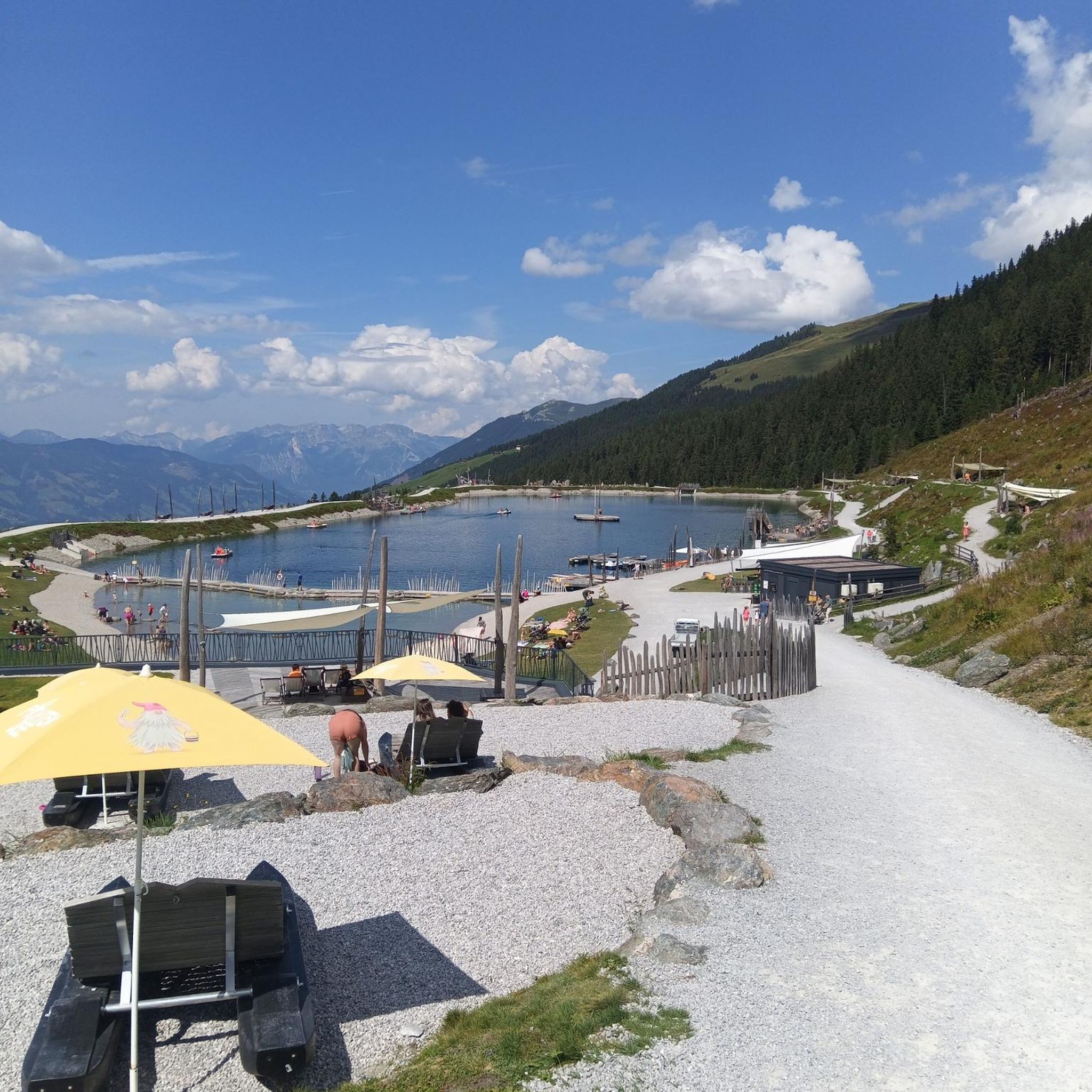
Gravel biking around Beckenried
Other adventures around Beckenried


Tips from the Community

Train journey with a varied hike that is not too long.
0
0

Z.T. Very narrow ridge, I also had strong wind, so I broke off the ridge path.
0
0

From the Buochserhorn, you can enjoy a wonderful view of Lake Lucerne, the Pilatus, the Stanserhorn, the Engelberg valley, and many more. The ascent from Niederrickenbach is highly recommended. Unfortunately, the Buochserhorn is always well-visited, even outside of the season. So you are rarely alone on the summit.
3
0

While the Brisen is relatively easy to climb, the Hoh Brisen is reserved for sure-footed alpine hikers who are free from vertigo, and ideally have as little fear of heights as possible. The ridge to the Hoh Brisen is relatively easy for a long time before becoming extremely narrow and exposed at the end, requiring a descent from a ridge head into a depression.
0
0

To get to the top you have to carry your bike about 200m! The way down is rideable for experienced bikers and in good conditions!
2
0

The Alp Bleiki... ...at 1400 meters above sea level ...on the sunny side of the beautiful Buochserhorn ...not far from the car-free recreational village of Niederrickenbach ...embedded in a varied hiking area https://www.alpbleiki.ch/
8
1
From here you can take the Alpine hiking trail over the Bleikigrat to the Musenalp.
9
0
Just below the Ober Ochsendweid lies the Untere Ochsenweid. It is the headquarters of the Alps on the Buochserhorn, so to speak, as it is also easily accessible for vehicles via the Buochserbergstrasse. The Untere Ochsenweid also enjoys a lot of sunshine with its south-western location. The Alp is located in the source catchment area of the Stans water supply. The Untere Ochsenweid is the only cow alp that the cooperative corporation manages itself. The milk is transported daily to the nearby Bleiki Alpine cheese dairy and processed there into cheese. The Alp has only been managed since 2006, before that it was always leased. The Alp has 4 buildings and a large wild hay plot, where the hay is brought in with sledges and cable winches.
9
0
Frequently Asked Questions
How many mountaineering routes are available around Beckenried?
Beckenried offers a substantial network for mountaineers, with over 40 routes available on komoot. These routes are primarily challenging, catering to experienced individuals seeking difficult ascents and high-alpine environments.
Are there any easier mountaineering options for beginners in Beckenried?
While the majority of mountaineering routes around Beckenried are classified as difficult, there are a few moderate options available. These routes still require a good level of fitness and sure-footedness due to the alpine terrain. For example, you might consider exploring some of the less strenuous sections of the Alp Bleiki Cheese Dairy – Buochserhorn summit loop from Maria-Rickenbach, though the full loop is difficult.
What is the best time of year for mountaineering in Beckenried?
The prime season for mountaineering in the Beckenried area typically runs from late spring to early autumn (June to September). During these months, snowmelt is largely complete at lower to mid-altitudes, and weather conditions are generally more stable, offering better visibility and safer passage on exposed sections. Always check local weather forecasts and trail conditions before heading out.
What are the conditions like for winter mountaineering near Beckenried?
Winter mountaineering in Beckenried presents significant challenges due to snow, ice, and potential avalanche risks. Routes become considerably more technical, requiring specialized equipment such as crampons, ice axes, and avalanche safety gear, as well as advanced alpine experience. Many trails may be impassable or require expert guidance. It's crucial to consult local mountain guides and avalanche reports before attempting any winter ascents.
Are there any circular mountaineering routes in the Beckenried area?
Yes, several rewarding circular routes allow you to start and finish in the same location. A notable option is the Haldigrat Lookout Tower – Brisen–Haldigrat Ridge Hike loop from Maria-Rickenbach, which offers stunning ridge traverses. Another excellent choice is the Ribihüsli – Buochserhorn summit loop from Buochs, providing diverse alpine scenery.
What kind of gear should I bring for summer mountaineering in Beckenried?
For summer mountaineering in Beckenried, essential gear includes sturdy hiking boots with good ankle support, layered clothing suitable for varying alpine weather, rain and wind protection, a backpack with sufficient water and snacks, a first-aid kit, sun protection (hat, sunglasses, sunscreen), and a map or GPS device. Depending on the specific route, trekking poles can be very helpful, and for more exposed sections, a helmet might be advisable.
Are there any less crowded mountaineering options around Beckenried?
To find less crowded routes, consider exploring trails that are slightly off the main tourist paths or starting your ascent early in the morning. The Alp Bleiki Cheese Dairy – Bleikigrat Junction loop from Maria-Rickenbach, for instance, offers a challenging experience that might see fewer hikers compared to the most popular summit routes.
What are some interesting landmarks or attractions I can see near the mountaineering routes?
The Beckenried area, nestled in the Nidwalden canton, offers more than just mountaineering. You can explore historical sites like the Fürigen Fortress Museum, which provides insight into Swiss defense history. For those interested in natural formations, the Drachenloch Cave is a fascinating spot. There are also several religious sites, such as the Lourdes Grotto, offering peaceful contemplation.
Is public transport available to access mountaineering trailheads in Beckenried?
Yes, Switzerland has an excellent public transport network. Many trailheads in the Beckenried region are accessible by bus or mountain railways, especially those starting from villages like Maria-Rickenbach or Buochs. It's advisable to check the SBB (Swiss Federal Railways) website or local transport schedules for specific connections to your chosen starting point.
Where can I find parking for mountaineering trailheads near Beckenried?
Parking is generally available at or near the main starting points for mountaineering routes in the Beckenried area, such as in Maria-Rickenbach or Buochs. These are often paid parking lots. It's always a good idea to arrive early, especially on weekends or during peak season, as spaces can fill up quickly. Always respect local parking regulations.
Are there any cafes or pubs near the mountaineering trails for refreshments?
Yes, you'll often find mountain huts (Berghäuser) or small restaurants (Alpwirtschaften) along or near many mountaineering routes in the Swiss Alps, including around Beckenried. These offer opportunities for refreshments, snacks, or even a warm meal. It's recommended to check their opening hours in advance, especially outside of peak season, as some may be seasonal.
What do other mountaineers enjoy most about the routes in Beckenried?
The mountaineering routes around Beckenried are highly regarded by the komoot community, boasting an average score of 4.8 stars from over 50 reviews. Mountaineers frequently praise the challenging summit ascents, the breathtaking panoramic views of Lake Lucerne and the surrounding alpine landscape, and the diverse terrain that includes exposed ridge traverses and high-alpine environments.
Most popular routes around Beckenried
Most popular attractions around Beckenried

Get inspired with the komoot mobile app


Explore more
Browse the best Mountain Hikes & Routes in other regions.
