The best walks and hikes around La Javie
4.6
(172)
1,138
hikers
13
hikes
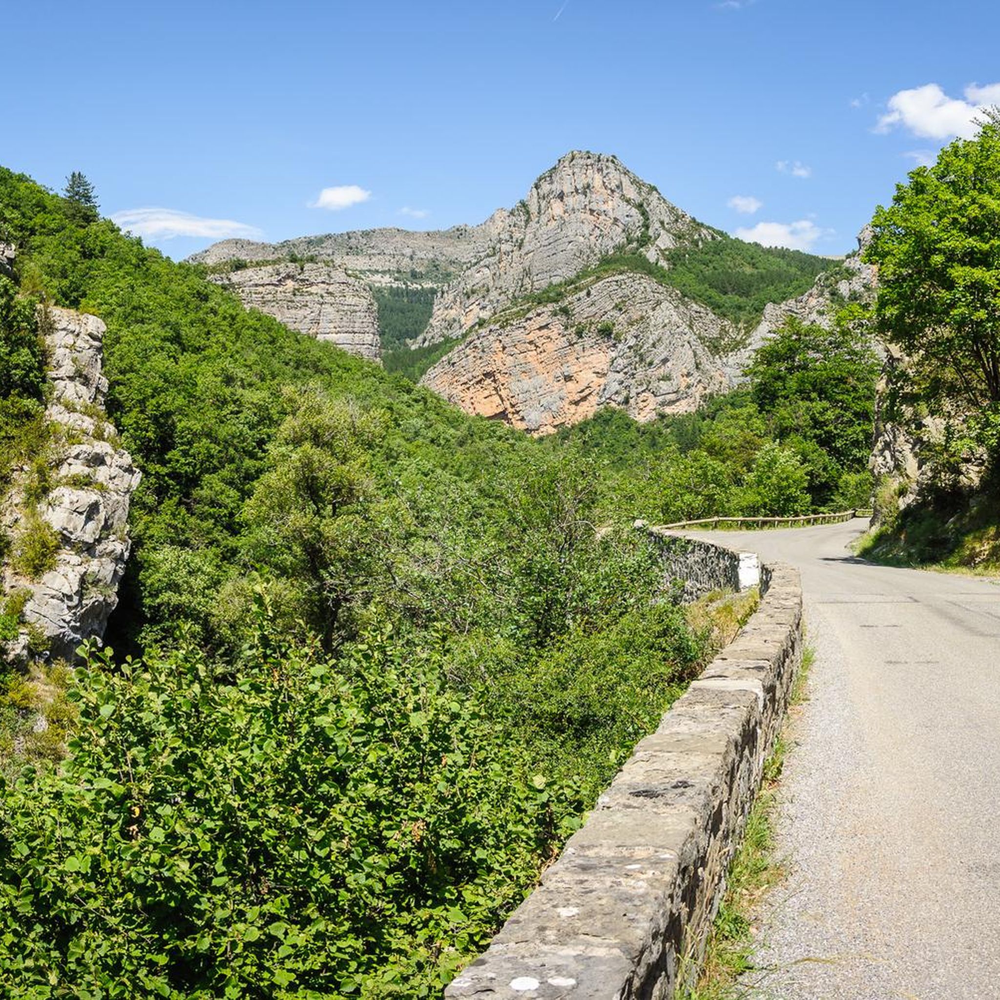
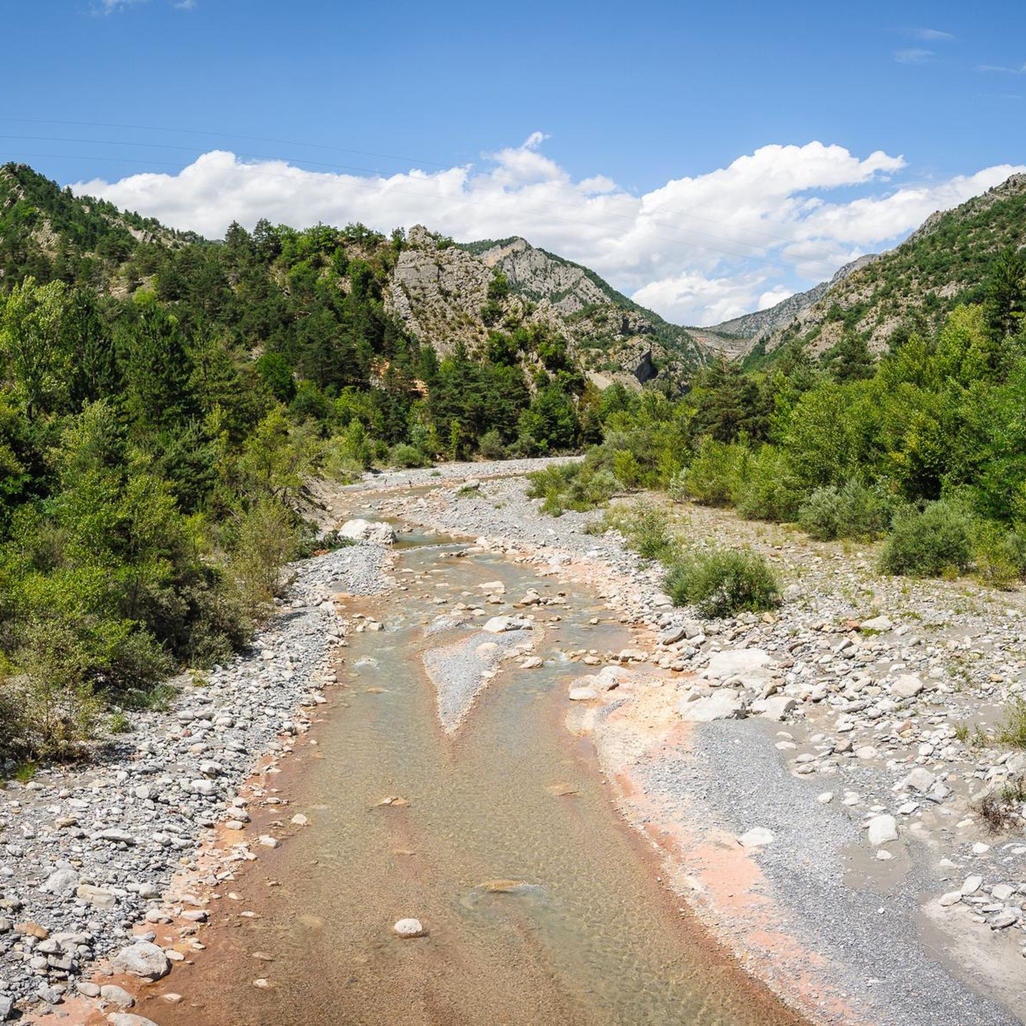
Hiking around La Javie offers exploration of a diverse landscape in the Alpes de Haute Provence, France, situated at an altitude of 800 meters at the confluence of the Arigeol and Bléone rivers. The region is an integral part of the UNESCO Geopark of Haute-Provence, showcasing 300 million years of geological history. Hikers can expect varied terrain, including the wide Bléone Valley, fertile farmlands, and the dramatic Bès Valley with its unique geological formations like the Facibelle Blade. Panoramic mountain views of the Estrop massif, Pic de Couard, and Cheval Blanc are also accessible from various vantage points.
Best hiking trails around La Javie
- The most popular hiking route is Loop of Facibelle Blade - Geological Reserve of Haute-Provence, a 6.1 miles (9.9 km) moderate trail that takes 3 hours 19 minutes to complete. This route leads through the spectacular Facibelle Blade, a 50-meter-high rock formation within the Geopark.
- Another top favourite among local hikers is Bès Footbridge – Lame de Facibelle loop from Ripple Mark, a moderate 4.3 miles (6.9 km) path. This trail involves crossing the Bès river via a suspended footbridge and traversing a magnificent beech forest.
- Local hikers also love the Tour du Blayeul (Alpes de Hautes Provence) – Bès Footbridge loop from Chemin du vieil Esclangon, a 5.3 miles (8.6 km) trail leading through the Bès Valley, often completed in about 2 hours 45 minutes.
- Hiking around La Javie is defined by geological formations within the UNESCO Geopark, river valleys, and panoramic mountain views. The network offers options for different ability levels, from easy strolls to challenging ascents.
- The routes in La Javie are highly rated by the komoot community with an average score of 4.7 stars from over 170 reviews. More than 1000 hikers have used komoot to explore La Javie's varied terrain.
Last updated: August 23, 2026
4.5
(17)
80
hikers
9.88km
03:19
500m
500m
Moderate hike. Good fitness required. Mostly accessible paths. Sure-footedness required.
4.6
(16)
139
hikers
Moderate hike. Good fitness required. Easily-accessible paths. Suitable for all skill levels.

Sign up for free
4.7
(3)
38
hikers
6.86km
02:56
440m
440m
Hard hike. Good fitness required. Sure-footedness, sturdy shoes and alpine experience required.
4.4
(10)
30
hikers
Moderate hike. Good fitness required. Mostly accessible paths. Sure-footedness required.
5.0
(1)
15
hikers
7.42km
02:34
340m
340m
Moderate hike. Good fitness required. Mostly accessible paths. Sure-footedness required.
Get access to more routes and recommendations from other explorers.
Sign up for free
Already have an account?
Our route recommendations are based on thousands of hikes, rides, and runs completed by other people on komoot.
Start today with a free account
Your next adventure awaits.
Login or Signup
Tips from the Community

At a certain point you find yourself in front of these two giants and you can't help but stop and admire them.
13
0

Spectacular, not too difficult path, up to a small meadow area and further to the panoramic point of the velodrome.
0
0

At the heart of the Velodrome of Esclangon in the Bés valley, is this narrow geological curiosity which culminates at 50 meters high. Beautiful hike!
3
0

To discover absolutely... in July by VAE, beginner level, the quiet outward and return trip (about 30km) total ascent 450m and descent 430m + discovery time, all in about 3 hours.
1
0
The Tour du Blayeul: from Esclangon to Verdaches along the Bléone and the Bès... Picturesque road which connects Digne to Verdaches. Beautiful. The views are magnificent and “how beautiful the mountain is!”. About fifteen kilometers, with a difference in altitude of around 350m...
1
0

Easy access walkway with very little height.
0
1

not much shade, so walk in the morning
0
0

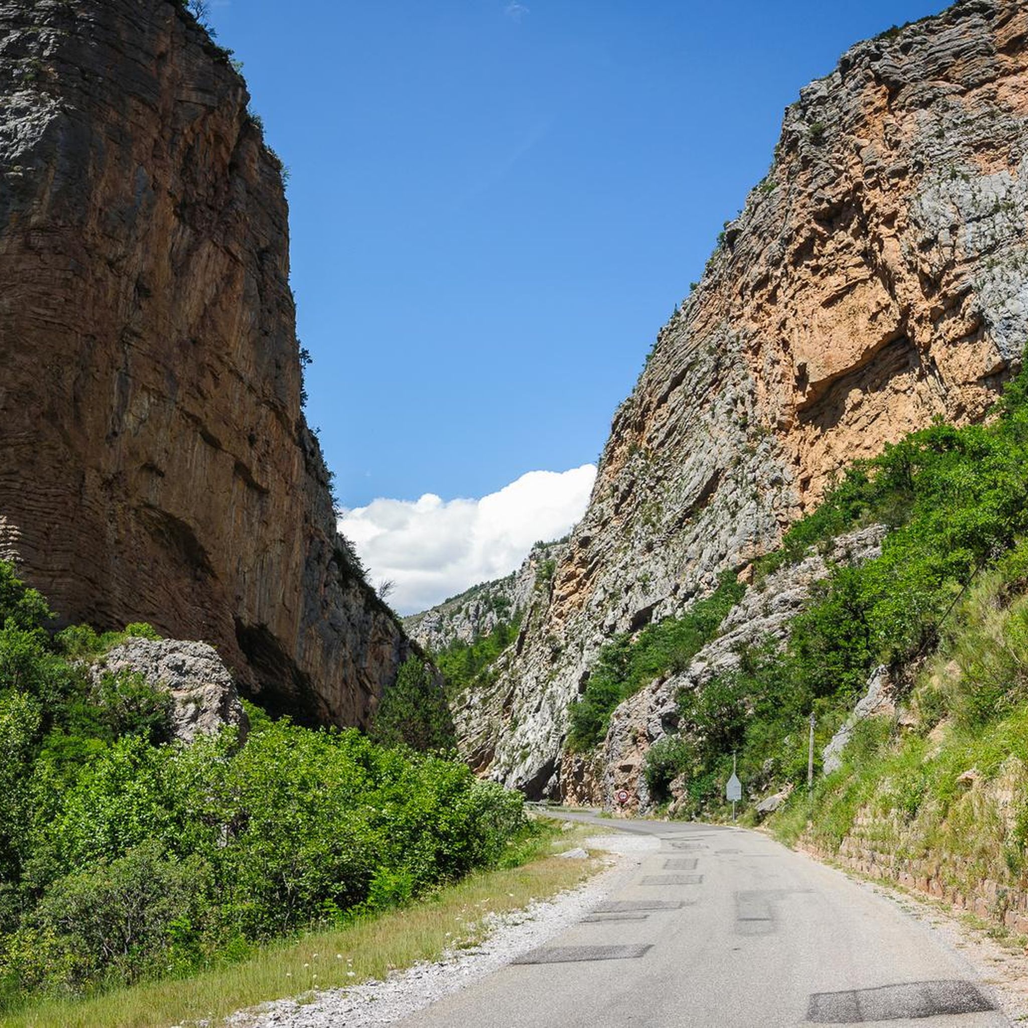
Impressive gorge along Le Bes. Incredible street guide! Definitely worth seeing.
8
1
Frequently Asked Questions
What kind of landscapes can I expect to see while hiking around La Javie?
Hiking around La Javie offers a diverse range of landscapes. You'll explore the wide Bléone Valley with its fertile farmlands and orchards, and the dramatic Bès Valley featuring unique geological formations. The region is part of the UNESCO Geopark of Haute-Provence, so expect to encounter fascinating geological history. Many trails also provide panoramic mountain views of the Estrop massif, Pic de Couard, and Cheval Blanc.
Are there any easy hiking trails suitable for beginners or a relaxed stroll?
Yes, La Javie offers several easy trails. For example, The Old Esclangon loop from Chemin du vieil Esclangon is an easy 4.7 km path that takes about 2 hours to complete. In total, there are 2 easy routes available in the area.
What are some of the natural attractions or landmarks I can discover on a hike?
The region is rich in natural attractions. You can hike to the spectacular Facibelle Blade, a 50-meter-high rock formation. Other notable features include the Clue de Barles, a site of remarkable natural beauty, and the Saut de la Pie Waterfall. The entire area is within the Haute-Provence Geopark, showcasing diverse geological formations.
Are there any circular hiking routes available in La Javie?
Yes, many of the trails around La Javie are circular. A popular option is the Loop of Facibelle Blade - Geological Reserve of Haute-Provence, a moderate 9.9 km loop. Another great choice is the Bès Footbridge – Lame de Facibelle loop from Ripple Mark, which is 6.9 km long and also circular.
What is the best time of year to go hiking in La Javie?
The best time for hiking in La Javie is generally from spring through autumn. During these seasons, the weather is typically pleasant, and the trails are more accessible. While winter hiking is possible, some higher altitude trails may be challenging due to snow and ice, so always check local conditions.
Are there any challenging hikes for experienced trekkers?
Yes, La Javie offers challenging options. The hike to La Lame de Facibelle, for instance, can be a hard 10.8-kilometer trail with a significant elevation gain of 661 meters, involving river crossings and traversing a magnificent beech forest. There is at least one difficult route among the 13 available trails.
Can I bring my dog on the hiking trails in La Javie?
Generally, dogs are welcome on many hiking trails in the Alpes de Haute Provence, but it's always best to keep them on a leash, especially in nature reserves or areas with livestock. Check specific trail regulations or local signage for any restrictions before you go.
What do other hikers say about the trails in La Javie?
The hiking routes in La Javie are highly rated by the komoot community, with an average score of 4.7 stars from over 170 reviews. Hikers often praise the varied terrain, the stunning geological formations within the UNESCO Geopark, and the panoramic mountain views.
Are there any trails that involve crossing rivers or offer unique natural features?
Yes, several trails offer unique features. The Bès Footbridge – Lame de Facibelle loop from Ripple Mark involves crossing the Bès river via a suspended footbridge. This trail also leads through a magnificent beech forest and past the spectacular Facibelle blade, described as a 'miracle of balance'.
Is public transport available to reach the trailheads around La Javie?
Public transport options directly to specific trailheads in rural areas like La Javie can be limited. It is advisable to check local bus schedules or consider driving to the starting points. Parking is generally available near popular trailheads and in the village itself.
Are there any family-friendly hiking options in La Javie?
While specific 'family-friendly' designations aren't always explicit, the area offers 2 easy routes that could be suitable for families looking for a less strenuous walk. The varied terrain and natural attractions like the Facibelle Blade can also be engaging for children, depending on their age and hiking experience.
What is the typical duration for hikes around La Javie?
The duration of hikes around La Javie varies significantly depending on the trail's length and difficulty. For instance, an easy route like The Old Esclangon loop takes about 2 hours, while a moderate trail such as the Loop of Facibelle Blade typically requires around 3 hours and 19 minutes. More challenging routes can take longer.
Most popular attractions around La Javie

Get inspired with the komoot mobile app


Explore more
Browse the best Hikes in other regions.
