The best running trails around Prads-Haute-Bléone
4.5
(10)
827
runners
80
runs
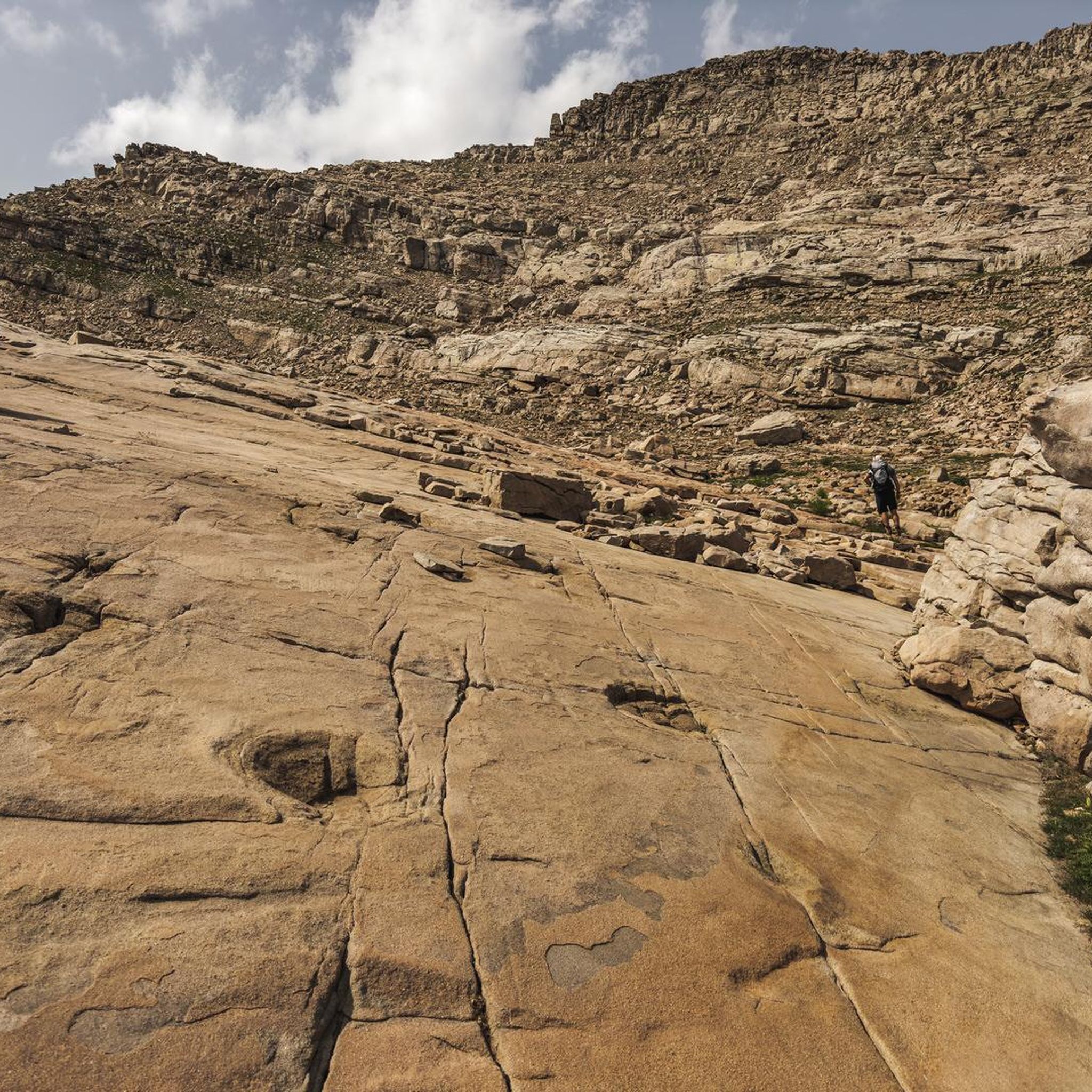
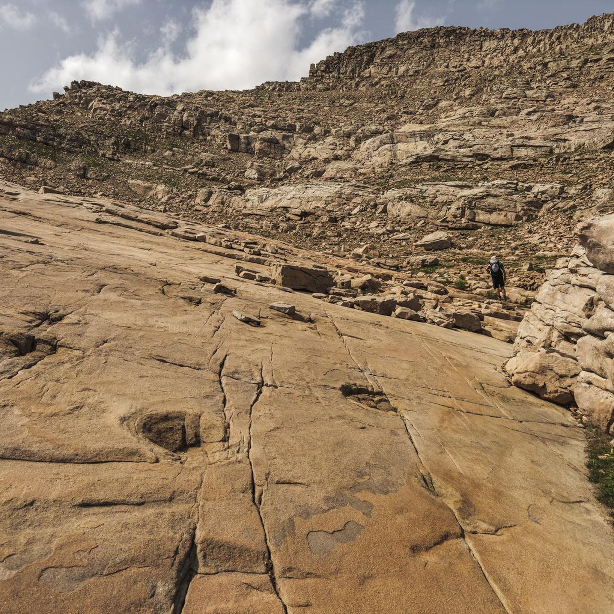
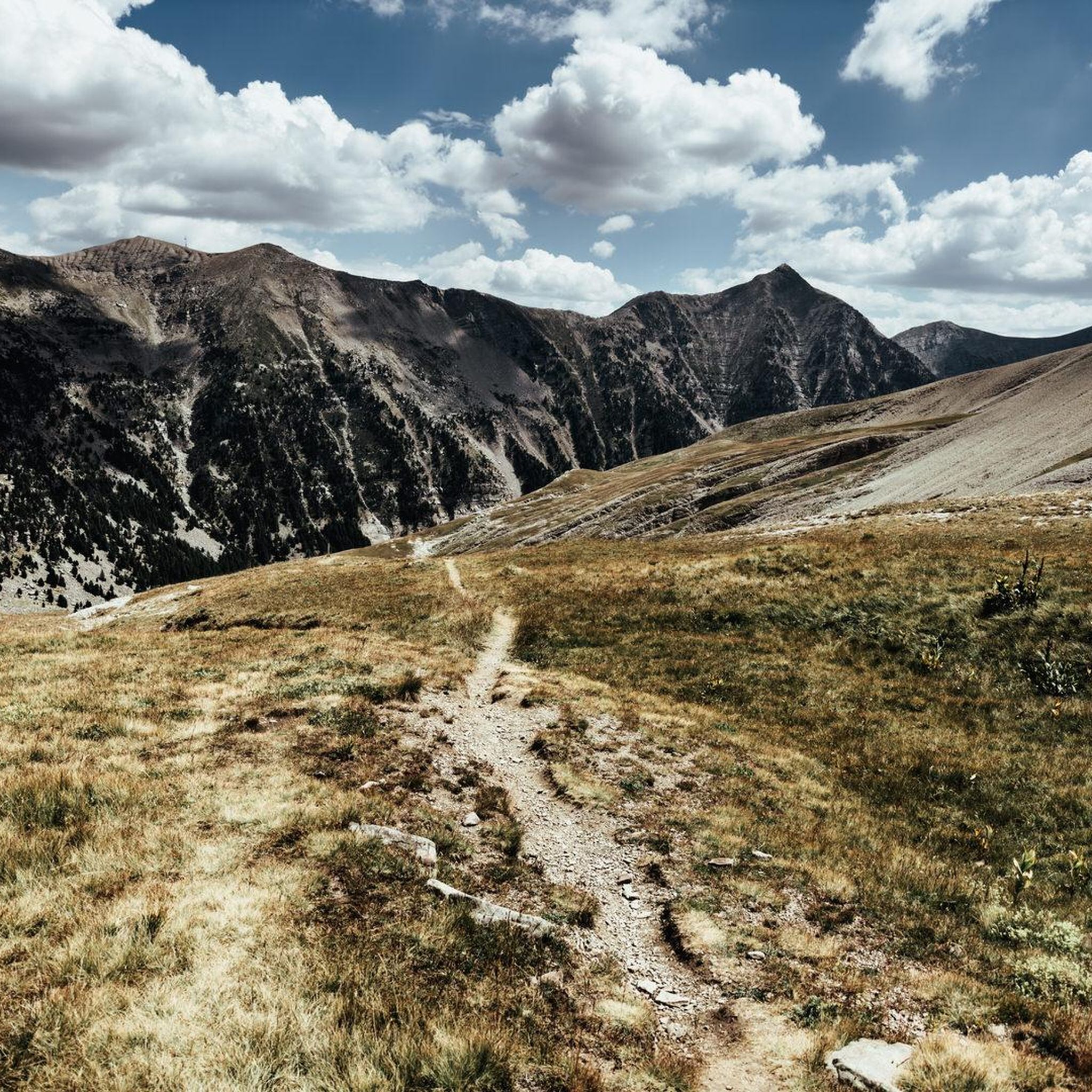
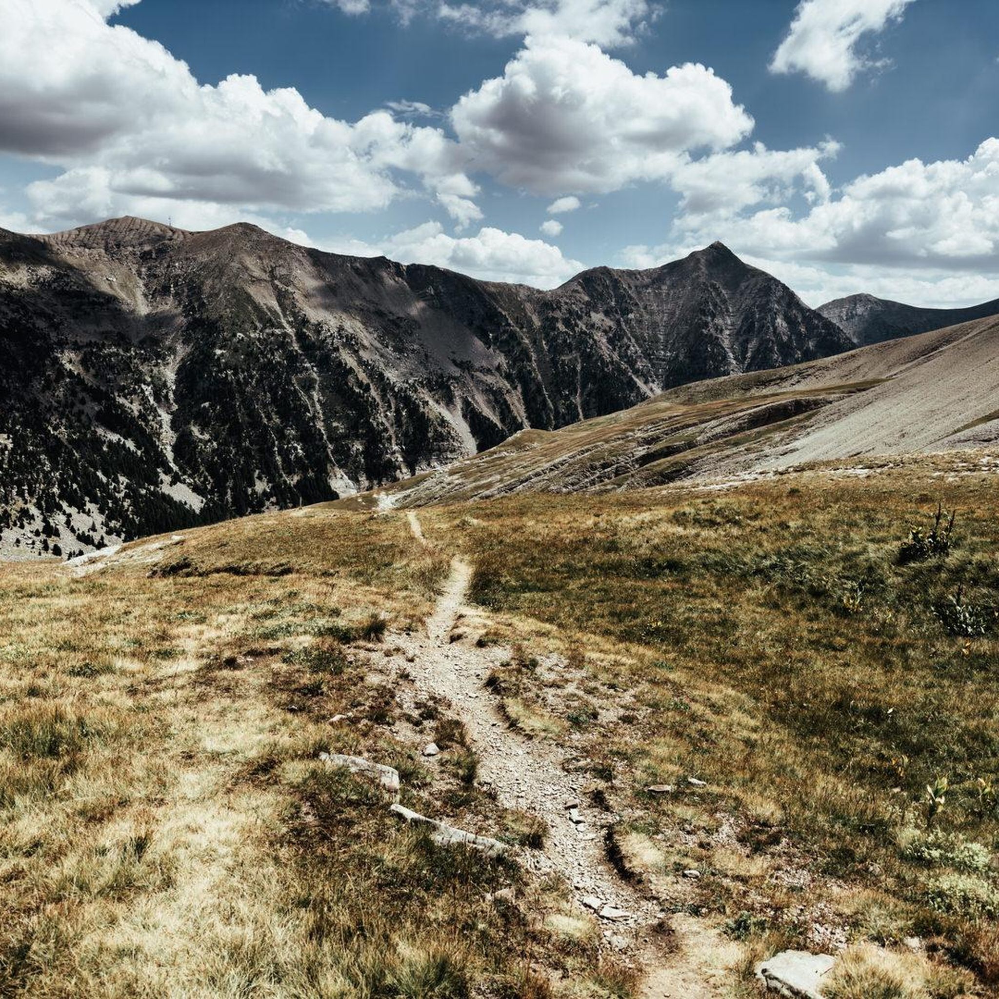
Jogging routes around Prads-Haute-Bléone traverse a diverse landscape within the mountainous Dignois region of Alpes-de-Haute-Provence. The area is characterized by majestic mountain massifs, high cliffs sculpted by erosion, and the scenic Bléone River valley. It is also part of the UNESCO Geopark of Haute-Provence, offering varied geological formations and terrain for runners.
Best jogging routes around Prads-Haute-Bléone
- The most popular jogging route is Refuge de l'Estrop and the summit of la Basse loop trail - Reserve naturelle géologique de Haute-Provence…
Last updated: July 2, 2026
8
runners
Hard run. Very good fitness required. Sure-footedness, sturdy shoes and alpine experience required.
35
runners
14.3km
01:40
470m
470m
Hard run. Very good fitness required. Mostly paved surfaces. Suitable for all skill levels.

Sign up for free
28
runners
12.0km
01:58
750m
750m
Hard run. Very good fitness required. Sure-footedness, sturdy shoes and alpine experience required.
21
runners
10.3km
01:50
780m
780m
Hard run. Very good fitness required. Mostly paved surfaces. Suitable for all skill levels.
13
runners
15.6km
02:32
850m
850m
Hard run. Very good fitness required. Sure-footedness, sturdy shoes and alpine experience required.
Get access to more routes and recommendations from other explorers.
Sign up for free
Already have an account?
Our route recommendations are based on thousands of hikes, rides, and runs completed by other people on komoot.
Start today with a free account
Your next adventure awaits.
Login or Signup
Tips from the Community

A little-used path, well-colonized by broom, roses, and brambles in the forest section! Sometimes you have to put your hands on the edge of the ridge.
0
0

The road from the direction of Barcelonette is currently (July 2024) completely closed due to rockfalls.
4
0

The Col d'Allos is located at an altitude of 2,250 meters. It connects the Ubaye valley to the Verdon valley. Integrated into the Route des Grandes Alpes, it is a favorite of cyclists, and has also been part of 34 Tours de France.
0
0

At 2179 meters above sea level, the summit of La Basse is reached by a beautiful ridge hiking circuit that leads us through the forest, along waterfalls and by a pretty alpine refuge. This hike can very well be included in the Tête de l'Estrop hike!
1
0
A lovely hideaway set in a very scenic alpine landscape. Half-board possible. Reservation required: lerefugedelestrop.e-monsite.com
1
0
This beautiful waterfall on the heights of Prayols is located in the forest about one kilometer from the Estrop refuge.
1
0
Located at 2575 meters, Tête de la Sestrière offers a beautiful panorama of the valleys below and the mountains that surround it. A magnificent hike from Laverq!
1
0
A lovely hideaway set in a very scenic alpine landscape. Half-board possible. Reservation required: http://lerefugedelestrop.e-monsite.com/
0
0
Frequently Asked Questions
How many running routes are available in Prads-Haute-Bléone?
There are over 80 running routes around Prads-Haute-Bléone, offering a wide variety of terrain and challenges. The komoot community has rated these routes highly, with an average score of 4.5 stars.
What kind of terrain can I expect on the jogging trails in Prads-Haute-Bléone?
The jogging trails in Prads-Haute-Bléone traverse a diverse landscape, from majestic mountain massifs and high cliffs to the scenic Bléone River valley. As part of the UNESCO Geopark of Haute-Provence, you'll encounter varied geological formations, offering both challenging ascents and more accessible paths.
Are there any easy or beginner-friendly running routes in the area?
While many routes in Prads-Haute-Bléone are considered difficult, there are a few easier options available. For instance, the region offers 3 routes classified as easy, suitable for those looking for a less strenuous run.
Can I find routes with good views or natural attractions?
Absolutely! The region is known for its stunning natural beauty. Many routes offer stupendous panoramas, especially around mountain passes like Col du Fanget (1,459 m) or Col du Défens (1,230 m). You can also explore areas within the UNESCO Geopark of Haute-Provence, which features unique geological interests.
Are there any circular running routes in Prads-Haute-Bléone?
Yes, many of the running routes in Prads-Haute-Bléone are designed as loops. For example, the Refuge de l'Estrop and the summit of la Basse loop trail is a popular circular option, taking you through the Reserve naturelle géologique de Haute-Provence.
What are some notable landmarks or points of interest I might see while running?
Beyond the natural beauty, you can encounter several interesting points. The Col du Défens (1,230 m) features an egg-shaped sculpture by Andy Goldsworthy. You might also pass by historical sites like the Fortifications of Colmars or the alpine town of Seyne-les-Alpes with its Vauban citadel.
How long do the running trails typically take to complete?
The duration of running trails varies significantly based on distance and difficulty. For instance, the Running loop from La Foux d'Allos, which is 6.4 miles (10.3 km), typically takes about 1 hour 50 minutes. More challenging routes, like the Refuge de l'Estrop and the summit of la Basse loop trail (11.1 miles), can take around 4 hours 10 minutes.
Are there any challenging trail running options for experienced runners?
Yes, Prads-Haute-Bléone is well-suited for experienced trail runners, with 69 routes classified as difficult. These routes often feature significant elevation gains and rugged terrain, such as the Col d'Allos – Allos Pass loop from La Foux d'Allos, which offers a demanding experience with rewarding views.
What is the best time of year for jogging in Prads-Haute-Bléone?
The region offers a rich and varied experience for joggers. While specific seasonal advice isn't provided, the mountainous terrain suggests that spring, summer, and early autumn would be ideal, offering pleasant temperatures and clear paths. Winter might present challenges due to snow and ice, especially on higher elevation routes.
Are there any family-friendly jogging routes in Prads-Haute-Bléone?
While many routes are challenging, the extensive network of paths includes options that can be adapted for families. Look for routes classified as 'easy' or those along the Bléone River valley, which tend to be less strenuous and offer serene settings. Always check the route details for elevation and distance to ensure it suits your family's fitness level.
What do other runners enjoy most about jogging in Prads-Haute-Bléone?
The area is highly rated by the komoot community, with an average score of 4.5 stars from over 10 reviews. Runners often praise the dramatic mountain scenery, the diverse terrain that prevents monotony, and the tranquil escape offered by the region's authentic character and unique geological sites.
Are there any routes that pass by lakes or water features?
Yes, the region features natural water attractions. The Lac des Grenouilles loop from La Foux d'Allos is a great option if you're looking for a route that includes a lake. The Bléone River also flows through the valley, providing scenic riverside paths.
Most popular routes around Prads-Haute-Bléone
Most popular attractions around Prads-Haute-Bléone

Get inspired with the komoot mobile app


Explore more
Browse the best Running Trails & Routes in other regions.
