The best running trails around Montchevrier
4.5
(2)
407
runners
44
runs
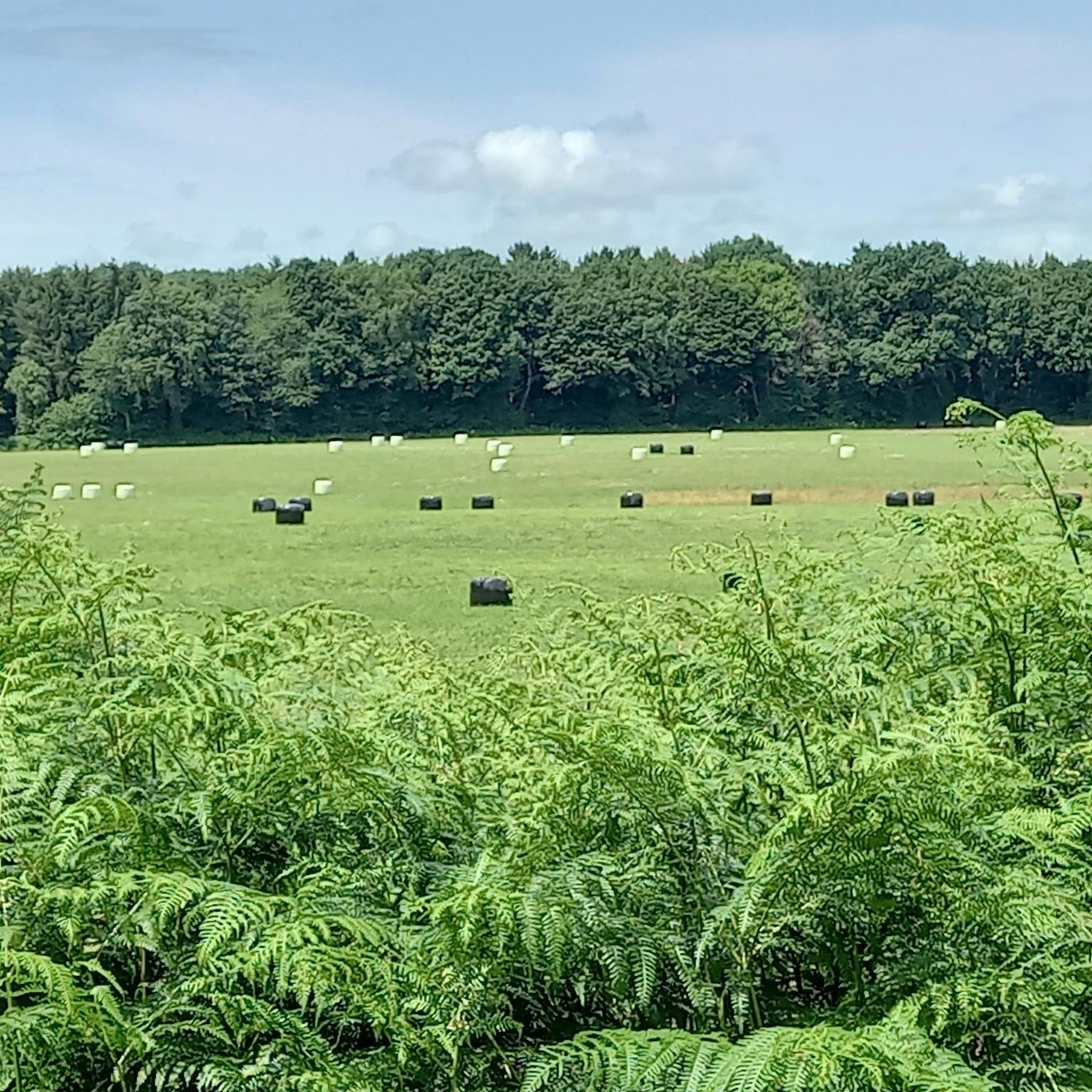
Jogging routes Montchevrier offer diverse natural landscapes, characterized by picturesque river valleys and a lush environment. The commune is well-hydrated by the Bouzanne, Auzon, and Gargilesse rivers, creating scenic routes. Situated in the rural Boischaut Sud region, Montchevrier features expansive natural spaces and six natural zones of ecological interest, providing varied terrain for runners. This area presents a network of paths suitable for exploring the countryside.
Best jogging routes around Montchevrier
- The most popular jogging route is Cluis viaduc loop…
Last updated: May 20, 2026
4.0
(1)
3
runners
7.10km
00:48
100m
100m
Moderate run. Good fitness required. Mostly paved surfaces. Suitable for all skill levels.
25
runners
19.6km
02:20
320m
320m
Hard run. Very good fitness required. Mostly paved surfaces. Suitable for all skill levels.

Sign up for free
8
runners
19.6km
02:15
270m
270m
Hard run. Very good fitness required. Mostly paved surfaces. Suitable for all skill levels.
5
runners
7.46km
00:47
100m
100m
Moderate run. Good fitness required. Mostly paved surfaces. Suitable for all skill levels.
6
runners
16.2km
01:50
240m
240m
Hard run. Very good fitness required. Mostly paved surfaces. Suitable for all skill levels.
Get access to more routes and recommendations from other explorers.
Sign up for free
Already have an account?
Our route recommendations are based on thousands of hikes, rides, and runs completed by other people on komoot.
Start today with a free account
Your next adventure awaits.
Login or Signup

Tips from the Community

A very impressive ruin. It shows the power that emanates from here
1
0

Located on a rocky outcrop, the castle of Cluis-Dessous occupied a strategic position. In the 12th century, the keep is the oldest part of the building. The curtain wall, slightly more recent (12th-13th century), is typical of Plantagenêt architecture. The house, which dates from the 14th and 15th centuries, is only partially preserved.
1
0
Crossing the Auzon valley, this viaduct nearly 500 meters long has 20 arches. Built in 1899, it was used until 1952 for the SNCF link between Argenton-sur-Creuse and La Châtre. Today, it is frequented by bungee jumpers, hikers and experienced runners who, like you, take advantage of the panoramic view of the Auzon valley.
2
0
Located on a rocky outcrop, the castle of Cluis-Bass occupied a strategic position. In the 12th century, the keep was the oldest part of the building. The slightly more recent curtain wall (12th-13th century) is typical of Plantagenet architecture. The most recent part (14th-15th century), the house is only partially preserved.
2
0
Located on a rocky outcrop, the castle of Cluis-Bass occupied a strategic position. In the 12th century, the keep was the oldest part of the building. The slightly more recent curtain wall (12th-13th century) is typical of Plantagenet architecture. The most recent part (14th-15th century), the dwelling is only partially preserved.
3
0

Fine little hostel ..
1
1

We found this little hostel closed in the morning (23.7.21). We hadn't reached anyone by phone the day before either. The second photo shows the three phone numbers through which someone should be available. Would have been nice for sure. Maybe someone else has better luck. t: +33 6 63 453626 t: +33 06 16 472102 t: +33 02 54 312257
3
0
Frequently Asked Questions
How many running routes are available around Montchevrier?
Montchevrier offers a wide selection of running routes, with over 40 trails available. These include 4 easy routes perfect for beginners, 34 moderate paths, and 6 more challenging routes for experienced runners.
Are there running routes suitable for beginners in Montchevrier?
Yes, Montchevrier has 4 easy running routes, ideal for beginners or those looking for a relaxed jog. These trails typically feature gentler terrain and shorter distances, allowing you to enjoy the scenic countryside at a comfortable pace.
What are some of the longer, more challenging running routes in the Montchevrier area?
For experienced runners seeking a challenge, Montchevrier offers 6 difficult routes. One such option is the Étang d'Aigurande loop from Aigurande, a demanding 12.2-mile (19.6 km) path that circles the tranquil Étang d'Aigurande, providing a peaceful setting amidst diverse wildlife. Another is the Cluis-Dessous Castle – Cluis-Dessous Castle loop from Cluis, which is 10.1 miles (16.2 km) long.
What kind of natural landscapes can I expect to see while running in Montchevrier?
Montchevrier is characterized by diverse natural landscapes, including picturesque river valleys formed by the Bouzanne, Auzon, and Gargilesse rivers. You'll run through lush environments, expansive natural spaces within the rural Boischaut Sud region, and six natural zones of ecological interest, ensuring preserved natural beauty and biodiversity.
Are there any circular running routes in Montchevrier?
Yes, many of the running routes in Montchevrier are circular, allowing you to start and finish at the same point. For example, the popular Cluis viaduc loop is a 4.4-mile (7.1 km) circular trail offering views of the local countryside and the viaduct. Another option is the Running loop from Bois Bertrand, which is 4.6 miles (7.5 km) long.
What interesting landmarks or attractions can I see along the running routes?
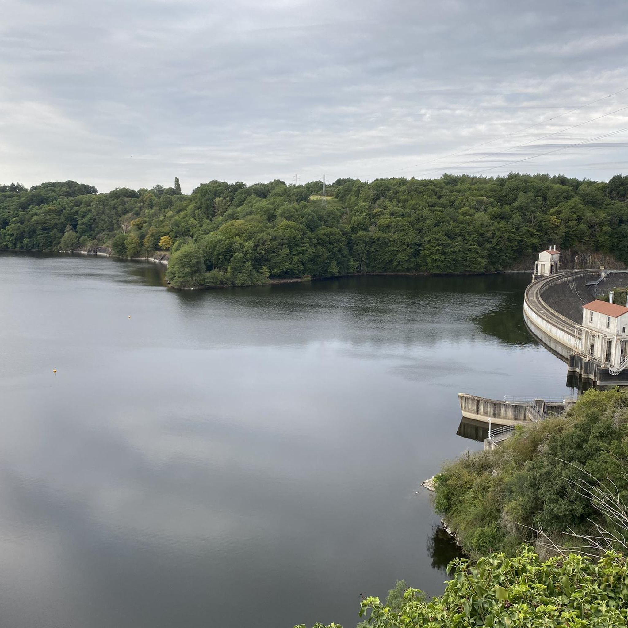
Several routes offer views of historical and natural landmarks. You might encounter the historic Cluis-Dessous Castle, perched on a rocky outcrop. The charming village of Gargilesse-Dampierre, recognized as one of France's most beautiful villages, can also be a scenic destination for a run. Additionally, the Eguzon Dam viewpoint offers impressive views of the dam and the lake over the Creuse River.
What do other runners enjoy most about jogging in Montchevrier?
The running routes in Montchevrier are highly rated by the komoot community, with an average score of 4.5 stars. Runners often praise the diverse terrain, from river valleys to rural countryside, and the well-preserved natural environment. The variety of routes, catering to different ability levels, is also a frequently highlighted positive aspect.
Is Montchevrier a good place for running with dogs?
While specific dog-friendly regulations can vary, the rural character of Montchevrier and its extensive network of trails through natural spaces suggest many opportunities for running with dogs. It's always advisable to keep your dog on a leash, especially near livestock or in ecologically sensitive areas, and to check local signage for any specific restrictions.
What is the best time of year to go running in Montchevrier?
Montchevrier benefits from an altered oceanic climate, which generally means mild conditions. Spring and autumn often provide pleasant temperatures for running, with lush greenery in spring and beautiful foliage in autumn. Summer can be warm, so early morning or late evening runs are recommended. Winter runs are also possible, with the landscape offering a different kind of beauty.
Are there any running routes that feature water bodies like lakes or rivers?
Absolutely. Montchevrier is well-hydrated by the Bouzanne, Auzon, and Gargilesse rivers, creating numerous scenic routes along river valleys. Additionally, the Étang d'Aigurande loop from Aigurande takes you around the tranquil Étang d'Aigurande, offering a peaceful run amidst diverse wildlife. The nearby Étang de la Chaume in Azérables also provides a serene setting, potentially with trails around its perimeter.
How long do the running routes in Montchevrier typically take to complete?
The duration of running routes in Montchevrier varies significantly depending on the distance and difficulty. For instance, the Cluis viaduc loop, a moderate 4.4-mile (7.1 km) trail, typically takes about 48 minutes. Longer, more difficult routes like the Étang d'Aigurande loop from Aigurande, at 12.2 miles (19.6 km), can take around 2 hours 20 minutes or more.
Most popular attractions around Montchevrier

Get inspired with the komoot mobile app


Explore more
Browse the best Running Trails & Routes in other regions.
