The best mountain hikes around Wachseldorn
4.7
(10)
36
hikers
5
hikes
Mountaineering around Wachseldorn offers access to the diverse landscapes of the Bernese Oberland in Switzerland. This tranquil municipality is surrounded by the Buchholterberg mountain, providing a gateway to majestic peaks, glaciers, and extensive trail networks. The region is characterized by towering alpine formations, varied elevation gains, and a mix of open alpine terrain and forested sections, making it suitable for challenging ascents and high-alpine exploration.
Best mountaineering routes around Wachseldorn
- The most popular mountaineering route is Schafloch Cave West Entrance…
Last updated: June 22, 2026
5.0
(4)
11
hikers
12.6km
05:53
880m
880m
Hard mountaineering route. Very good fitness required. Sure-footedness, sturdy shoes and alpine experience required.
4.7
(3)
8
hikers
11.1km
05:09
940m
940m
Hard mountaineering route. Very good fitness required. Sure-footedness, sturdy shoes and alpine experience required.

Sign up for free
5.0
(1)
10
hikers
15.9km
06:48
1,040m
1,040m
Hard mountaineering route. Very good fitness required. Sure-footedness, sturdy shoes and alpine experience required.
4.0
(2)
4
hikers
13.5km
05:23
890m
890m
Hard mountaineering route. Very good fitness required. Sure-footedness, sturdy shoes and alpine experience required.
3
hikers
13.3km
06:02
970m
970m
Hard mountaineering route. Very good fitness required. Sure-footedness, sturdy shoes and alpine experience required.
Our route recommendations are based on thousands of hikes, rides, and runs completed by other people on komoot.
Start today with a free account
Your next adventure awaits.
Login or Signup
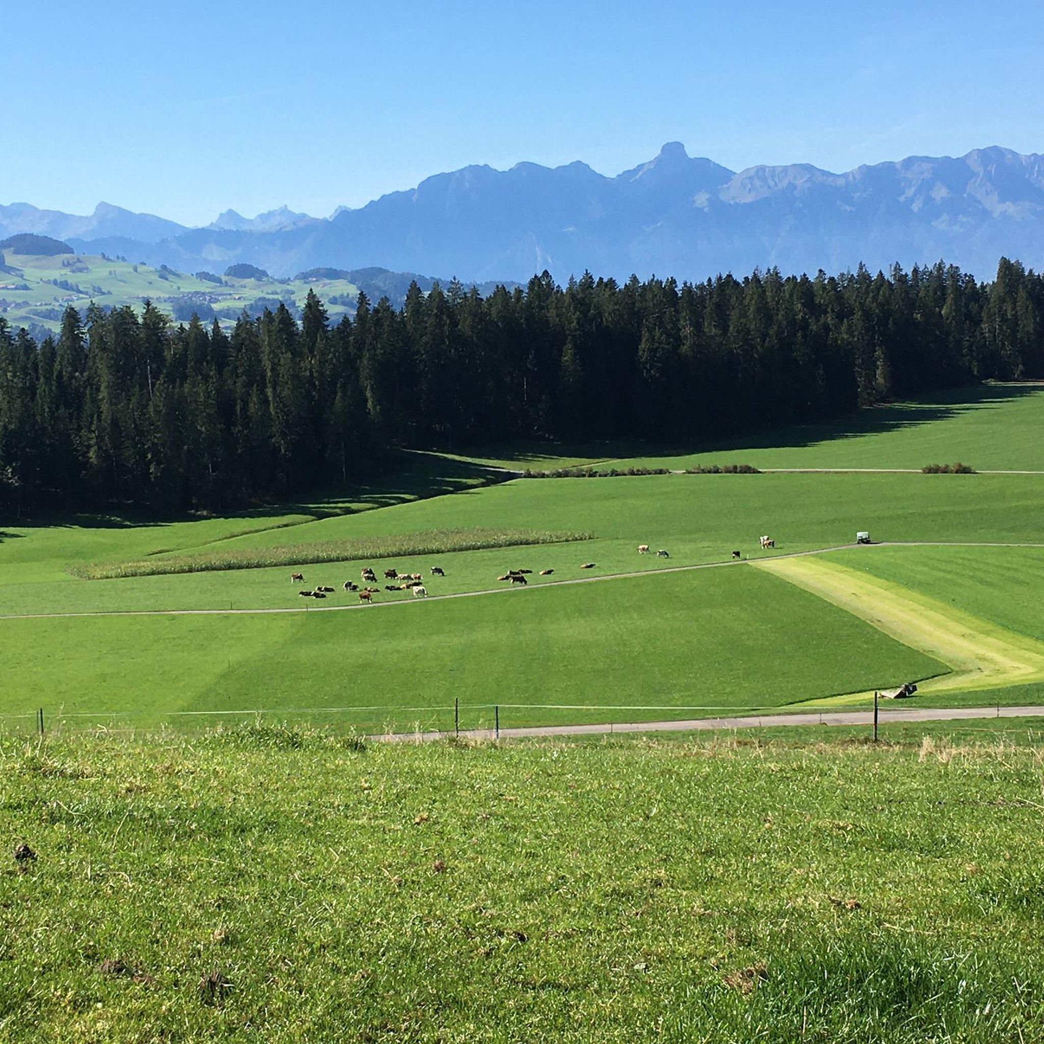
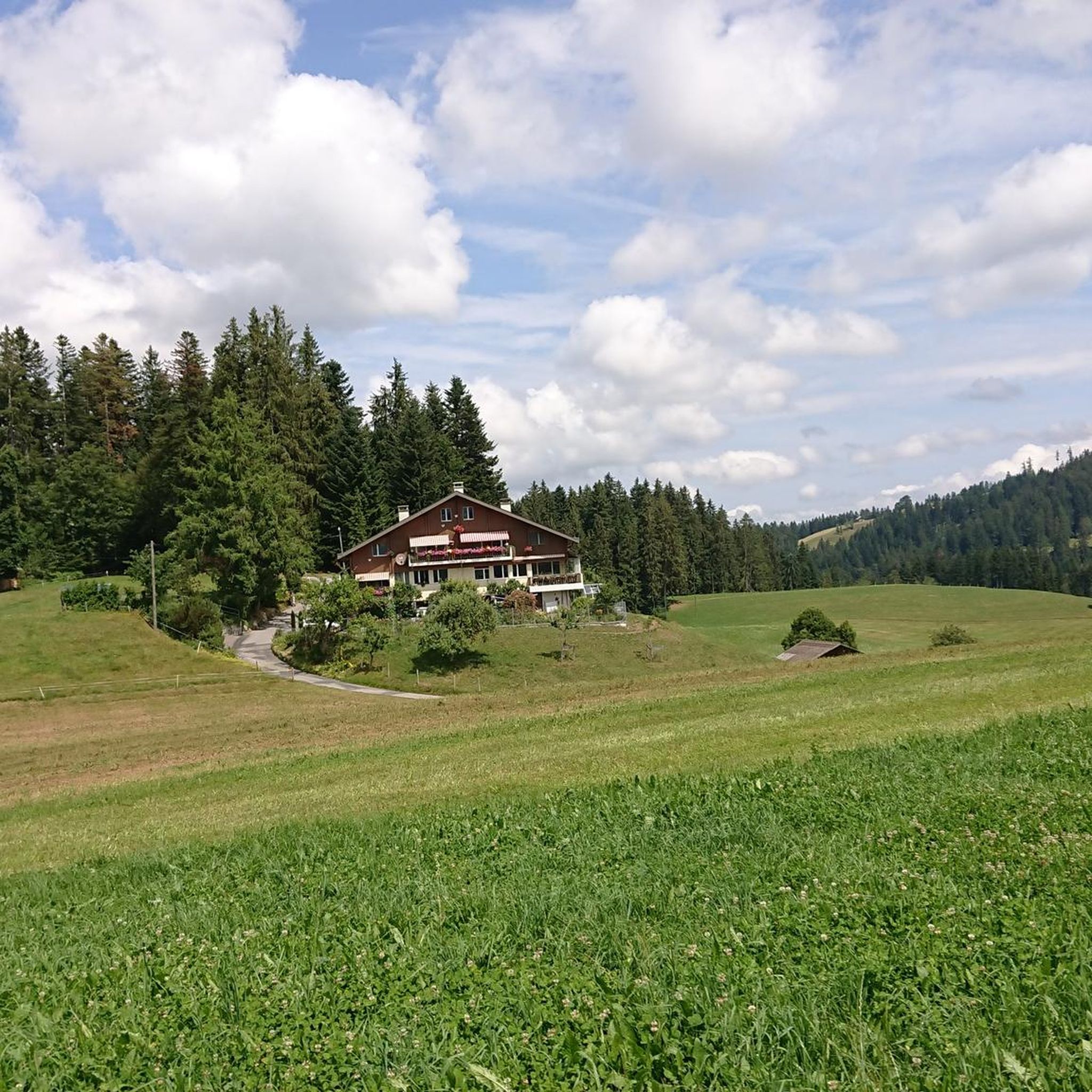
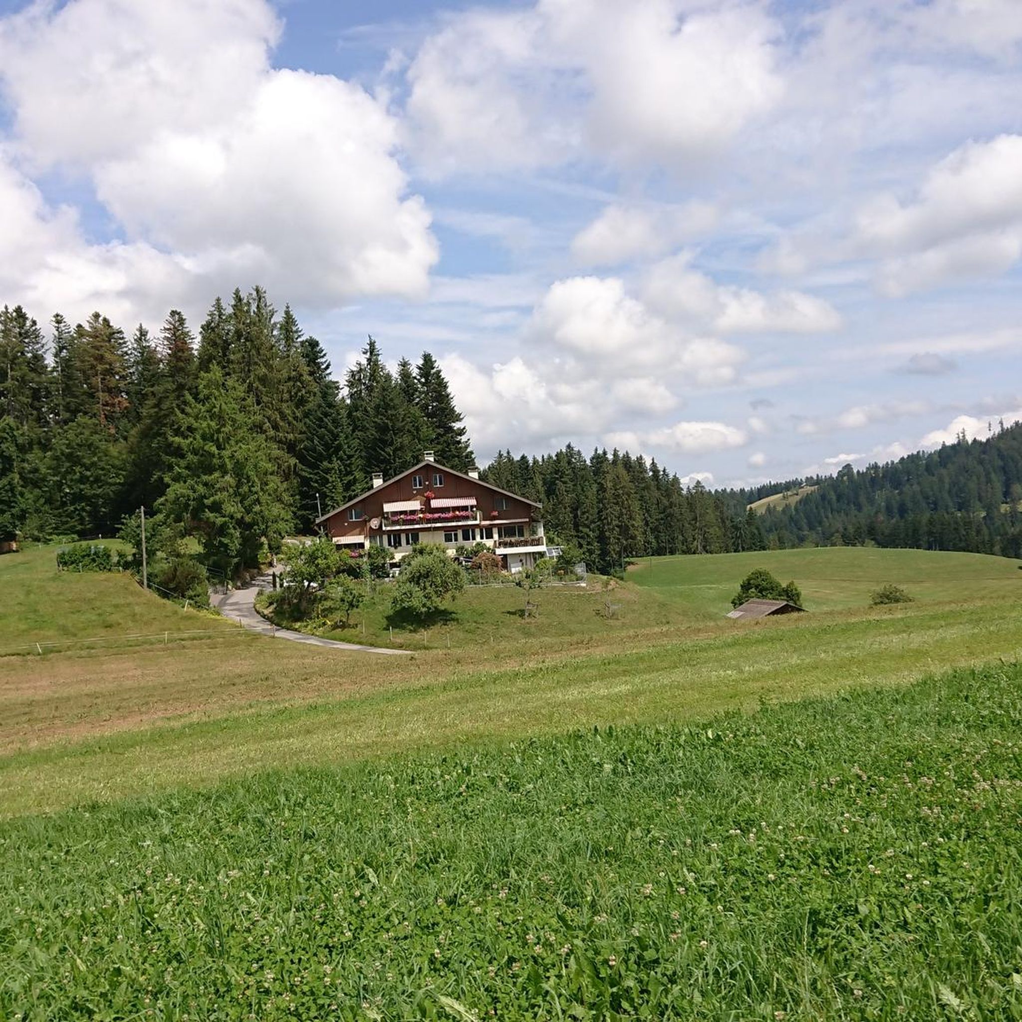
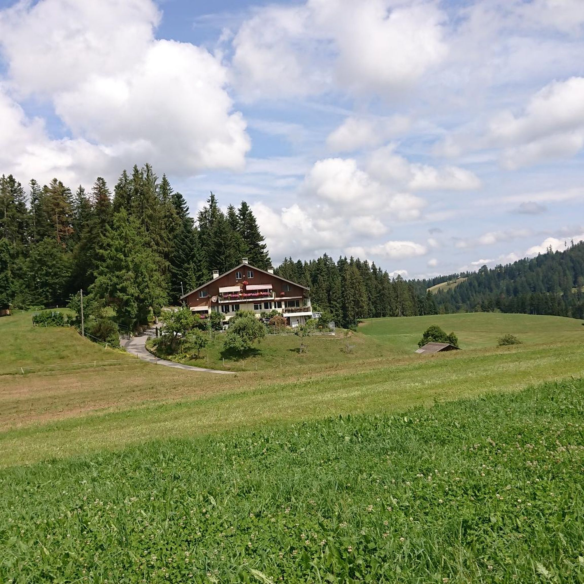
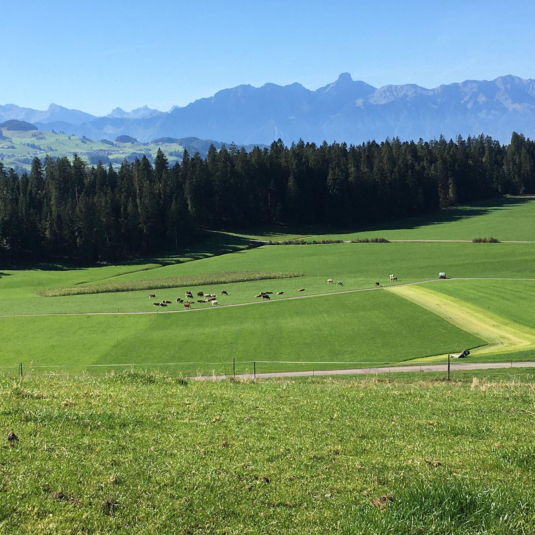
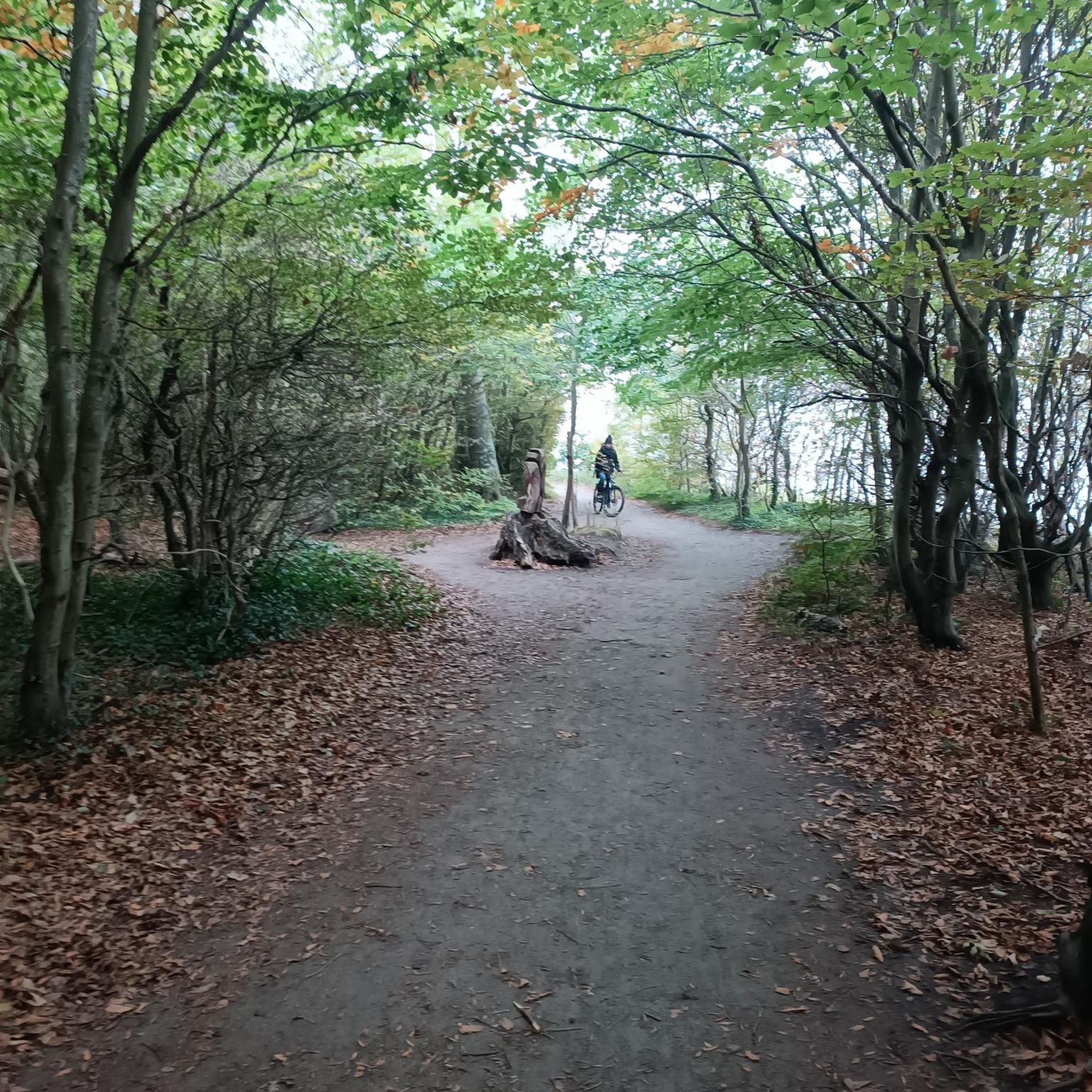
Tips from the Community

Beautiful alp on the way to the Sigriswiler Rothorn
7
0
Beautiful and little-frequented summit with panoramic views
7
0

Be careful, this is no walk in the park...
0
1

Difficult ascent including easy climbing but at the top everything is forgotten, the effort was worth it, the view is amazing.
0
1

The Sigriswiler Rothorn (2,051 m) is an impressive vantage point high above Lake Thun ⛰️🌊. The ascent is mostly along the ridge and requires surefootedness and a head for heights ⚠️🥾 – caution is advised, especially in wet conditions. At the top, you'll be rewarded with a fantastic 360° panorama: views of the Eiger, Mönch, and Jungfrau, the Mittelland, and Lake Brienz and Lake Thun 🏔️👀 – ideal for a summit rest and impressive photos 📸. Equipment: Sturdy hiking boots, weather protection 🧥, provisions 🥪, water 💧. No food or drink options along the way. Recommendation: Set off early ⏰, and avoid the ridge in uncertain weather. An absolutely worthwhile summit for experienced hikers!
1
0
A beautiful spot with stunning views of the Bernese Oberland! ⛰️🌲. The trail is well marked, but surefootedness is required, especially in wet conditions ⚠️. Recommendation: Start early ⏰ to enjoy the peaceful morning atmosphere! Equipment: Sturdy hiking boots 🥾, weatherproof clothing 🧥, and poles 🦯 if needed. Note: No refreshment stops – bring plenty of water 💧 and provisions 🥪.
2
0
The best dried meat in the world, yogi drinks to wake up tired hikers and nice entertainment. Truly a highlight.
0
0
Distinctive saddle between Zulzigraben and Justistal. An impressive place with steep walls to the east and west and special valleys to the north and south. Pleasant on foot, arduous on the bike.
0
1
Frequently Asked Questions
How many mountaineering routes are available around Wachseldorn?
There are currently 6 mountaineering routes listed around Wachseldorn on komoot. These routes are generally considered difficult, offering challenging ascents and high-alpine exploration within the Bernese Oberland.
Are there any family-friendly mountaineering options near Wachseldorn?
The mountaineering routes directly around Wachseldorn are all rated as difficult, featuring significant elevation gains and varied alpine terrain, making them less suitable for families with young children or beginners. However, the broader Bernese Oberland region offers a vast network of hiking trails with varying difficulty levels, some of which are more appropriate for families seeking easier walks.
Can I find circular mountaineering routes around Wachseldorn?
Yes, several mountaineering routes around Wachseldorn are circular. For example, you can explore the Schafloch Cave West Entrance – Alp Oberbärgli loop from Schwändiblueme, which is a difficult 6.9-mile (11.2 km) trail. Another popular option is the Sichle Pass – Schibe Summit loop from Säge, a challenging 7.9-mile (12.7 km) path offering panoramic views.
What is the best time of year for mountaineering in Wachseldorn?
The best time for mountaineering in Wachseldorn and the surrounding Bernese Oberland is typically during the late spring, summer, and early autumn months (June to October). During this period, trails are generally free of snow, and weather conditions are more stable, allowing for safer and more enjoyable high-alpine experiences. Always check local weather forecasts and trail conditions before heading out.
What natural features or landmarks can I expect to see along the mountaineering routes?
While the mountaineering routes themselves focus on alpine terrain, the region offers stunning natural beauty. You might encounter views of majestic peaks like the Eiger, Mönch, and Jungfrau in the distance. Nearby, you can find natural monuments like Wachseldornmoos, or enjoy scenic viewpoints such as the Blueme Observation Tower, which offers expansive vistas.
Is it possible to spot wildlife while mountaineering in this area?
The Bernese Oberland, including the areas accessible from Wachseldorn, is home to diverse alpine wildlife. While mountaineering, you might have the chance to spot chamois, ibex, marmots, and various bird species, including eagles. Maintaining a respectful distance and moving quietly increases your chances of observing these animals in their natural habitat.
Where can I find parking for mountaineering trails around Wachseldorn?
Specific parking information for each trailhead is often detailed on individual komoot tour pages. Generally, for routes starting from locations like Schwändiblueme or Säge, there are usually designated parking areas available, though they might be limited. It's advisable to check the tour details on komoot or local signage upon arrival.
Are permits required for mountaineering in the Wachseldorn region?
For general mountaineering and hiking on marked trails in the Bernese Oberland, permits are typically not required. However, if you plan to undertake more technical climbs, glacier traverses, or access certain protected areas, it's always best to check with local alpine clubs or tourist information centers for any specific regulations or permit requirements.
Are there places to eat or rest along the mountaineering routes?
While the mountaineering routes themselves are often in remote alpine environments with limited facilities, some routes may pass by mountain huts (Alpenhütten) or small alpine farms (Alpen) that offer refreshments during the summer season. For example, the Alp Oberbärgli – Sigriswiler Rothorn Summit loop from Schwändiblueme might offer opportunities near Alp Oberbärgli. It's always recommended to carry sufficient food and water, as services can be sparse.
What do other mountaineers say about the routes in Wachseldorn?
The mountaineering routes around Wachseldorn are highly rated by the komoot community, with an average score of 4.7 stars from over 10 reviews. Mountaineers often praise the challenging nature of the trails, the stunning alpine scenery, and the sense of accomplishment from tackling routes like the Trogenhorn loop from Säge, which leads through alpine meadows and rocky sections.
What are the typical distances and durations for mountaineering routes in Wachseldorn?
The mountaineering routes around Wachseldorn typically range from approximately 6.9 miles (11.1 km) to 9.7 miles (15.6 km) in distance. Durations can vary significantly based on individual fitness and conditions, but most routes, such as the Sichle Pass loop from Säge, take between 5 to 7 hours to complete due to the difficult terrain and considerable elevation gains.
What other outdoor activities can I do in the Bernese Oberland besides mountaineering?
Wachseldorn's location provides excellent access to a wide array of outdoor activities in the Bernese Oberland. Beyond mountaineering, you can enjoy extensive hiking and trekking trails, water sports on Lake Thun and Lake Brienz, paragliding, canyoning, river rafting, and via ferratas. The region is also known for its charming alpine villages and scenic cable car rides.
Most popular routes around Wachseldorn
Most popular attractions around Wachseldorn

Get inspired with the komoot mobile app


Explore more
Browse the best Mountain Hikes & Routes in other regions.
