The best MTB trails around Nuret-Le-Ferron
4.8
(40)
213
riders
28
rides
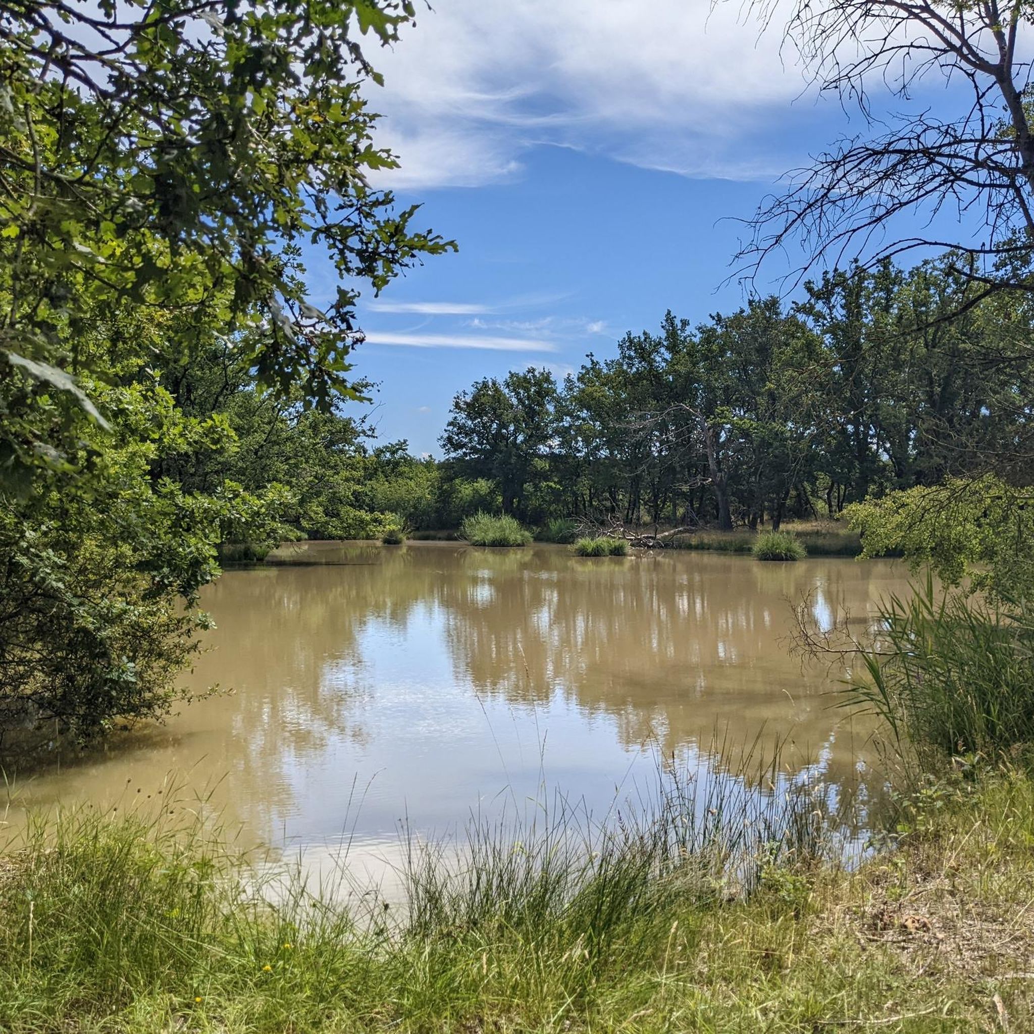
Mountain biking around Nuret-Le-Ferron offers diverse terrain within the Parc Naturel Régional de la Brenne. The region features a network of small watercourses, numerous small lakes and ponds, and varied topography with elevations ranging from 108 to 176 meters above sea level. This landscape provides a mix of fields, forests, and greenways suitable for mountain biking.
Best mountain bike trails around Nuret-Le-Ferron
- The most popular mountain bike trail is Greenway bridge – The Old Bridge loop from Saint-Gaultier, a…
Last updated: July 3, 2026
5.0
(1)
13
riders
25.4km
01:30
190m
190m
Easy mountain bike ride. Great for any fitness level. Suitable for all skill levels.
4.0
(3)
5
riders
38.0km
02:35
100m
100m
Moderate mountain bike ride. Good fitness required. Suitable for all skill levels.

Sign up for free
5.0
(1)
9
riders
48.6km
02:41
200m
200m
Moderate mountain bike ride. Good fitness required. Advanced riding skills necessary.
5.0
(1)
7
riders
48.5km
03:29
410m
410m
Moderate mountain bike ride. Good fitness required. Suitable for all skill levels.
4.5
(2)
5
riders
33.8km
02:06
80m
80m
Moderate mountain bike ride. Good fitness required. Suitable for all skill levels.
Get access to more routes and recommendations from other explorers.
Sign up for free
Already have an account?
Our route recommendations are based on thousands of hikes, rides, and runs completed by other people on komoot.
Start today with a free account
Your next adventure awaits.
Login or Signup


Tips from the Community


Towering over Argenton-sur-Creuse is the gilded statue of the Bonne Dame, a beacon visible from afar. What few people know is that this six-meter-high statue was dragged from the train station to the chapel in 1899 by ten oxen and thirteen horses, to the loud applause of the town's inhabitants. Today, you can hike up the hill yourself and be rewarded with a panoramic view of the Creuse valley—with the Bonne Dame still standing guard over the town.
4
0
From the bridge over the Creuse River in Saint-Gaultier, you have a beautiful view of the priory with the Église Saint-Gaultier (also called Église Saint-Gaultier et son priory). The complex: Originating in the 11th–12th century, built by the Benedictines. It consisted of the church and the adjacent monastery/prieuré. The towers and buildings you see are partly part of the later college that was built against the old priory. The complex offers a magnificent view of the Creuse, making it such a photogenic spot from the bridge.
3
0
A beautiful (quiet) walking route with a rest area with a bench about halfway along, where we were joined by donkeys. Part of the route crosses and follows the Creuse River. Beautiful views, with several benches and picnic tables along the river.
3
0

do not ride there after rain
0
0

Frequently Asked Questions
How many mountain bike trails are available around Nuret-Le-Ferron?
There are over 25 mountain bike trails available around Nuret-Le-Ferron, catering to various skill levels. You'll find a mix of easy, moderate, and a few more challenging routes to explore the diverse landscapes of the Parc Naturel Régional de la Brenne.
What kind of terrain can I expect on mountain bike trails in Nuret-Le-Ferron?
The terrain around Nuret-Le-Ferron is quite varied, ranging from 108 to 176 meters above sea level. You'll encounter a mix of fields, forests, and greenways. The region is particularly known for its numerous small lakes and ponds, often referred to as 'étangs', which many trails navigate around or pass by.
Are there easy mountain bike trails suitable for beginners or families in Nuret-Le-Ferron?
Yes, Nuret-Le-Ferron offers several easy mountain bike trails perfect for beginners or family outings. For example, the Greenway bridge – The Old Bridge loop from Saint-Gaultier is an easy 25.4 km route that follows a greenway along the Creuse river, offering a relaxed ride. Another accessible option is the Etang de Bellebouche Beach – Bellebouche Pond loop from Moulin de Baratte, which is 30.5 km long and also rated easy.
What are some popular moderate mountain bike trails in the area?
For those looking for a moderate challenge, the Étang de Malakoff loop from Moulin de Baratte is a popular choice, covering 34.7 km through the natural park and past several étangs. Another well-liked moderate route is the Notre-Dame Church – Our Lady's Chapel loop from Chabenet, which is 48.5 km and leads through varied terrain and past local churches.
Are there any circular mountain bike routes available?
Many of the mountain bike trails around Nuret-Le-Ferron are designed as loops, allowing you to start and finish at the same point. Examples include the Greenway bridge – The Old Bridge loop from Saint-Gaultier, the Étang de Malakoff loop from Moulin de Baratte, and the Étang de la Prévôté – Étang de Fosse Noire loop from Méobecq.
What can I see or explore along the mountain bike trails?
The trails often lead through the scenic Parc Naturel Régional de la Brenne, known for its numerous ponds and rich biodiversity. You might pass by significant natural features like the Fosse Noire and various étangs. Points of interest include the Bird Observatory No. 1 – Bellebouche Pond, the Old Bridge, and sections of the Cycling Path on Former Railway.
What do other mountain bikers enjoy most about the trails in Nuret-Le-Ferron?
The mountain bike trails in Nuret-Le-Ferron are highly rated by the komoot community, with an average score of 4.8 stars from over 40 reviews. Riders often praise the peaceful natural surroundings, the variety of landscapes including the many étangs, and the well-maintained greenways that offer enjoyable rides for all levels.
Are there any specific natural features or wildlife I might encounter?
Nuret-Le-Ferron is situated within the Parc Naturel Régional de la Brenne, a region celebrated for its biodiversity and numerous ponds. You might spot various bird species, especially around the étangs like Bellebouche Pond, which has a bird observatory. The area is also a special conservation area for rare habitats and bat populations, including the Greater Horseshoe Bat.
Is Nuret-Le-Ferron suitable for mountain biking year-round?
Nuret-Le-Ferron experiences an altered oceanic climate. While mountain biking is generally possible for much of the year, the best times are typically spring and autumn when temperatures are mild and the natural scenery is at its peak. Summers can be warm, and winters might bring colder, wetter conditions, though severe snow is less common.
Are there any cultural or historical sites accessible by mountain bike?
Yes, some routes pass by local historical sites. For instance, the Notre-Dame Church – Our Lady's Chapel loop from Chabenet leads past local churches. The wider region also features historical churches like Eglise Saint-Laurent de Nuret-le-Ferron and Eglise abbatiale Saint-Pierre de Méobecq, which can be incorporated into longer rides.
What is the longest mountain bike trail available in Nuret-Le-Ferron?
The longest mountain bike trail listed is the Notre-Dame Church – Our Lady's Chapel loop from Chabenet, which spans 48.5 km and typically takes around 3 hours and 28 minutes to complete. This route offers varied terrain and cultural sights.
Are there any trails that specifically highlight the 'Land of a Thousand Ponds' aspect of the Brenne region?
Absolutely. Many trails are designed to showcase the region's characteristic étangs. The Étang de Malakoff loop from Moulin de Baratte and the Étang de la Prévôté – Étang de Fosse Noire loop from Méobecq are excellent examples, guiding you past several of these unique water bodies that define the Brenne landscape.
Most popular attractions around Nuret-Le-Ferron

Get inspired with the komoot mobile app


Explore more
Browse the best MTB trails in other regions.
