The best running trails around Teuffenthal (BE)
4.5
(324)
14,247
runners
421
runs
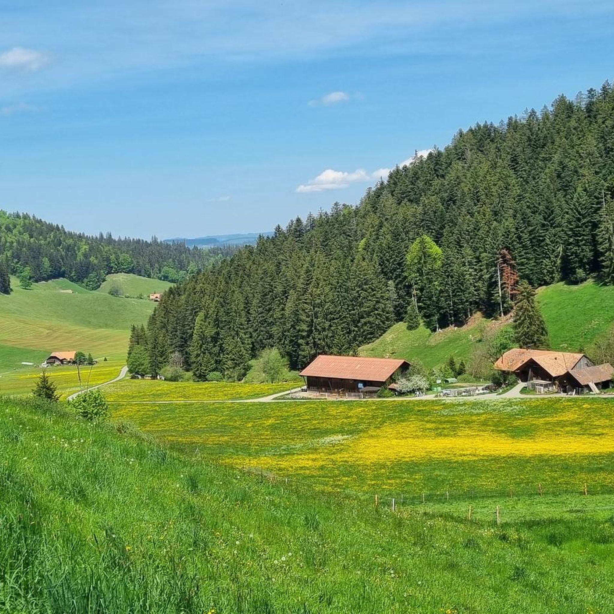
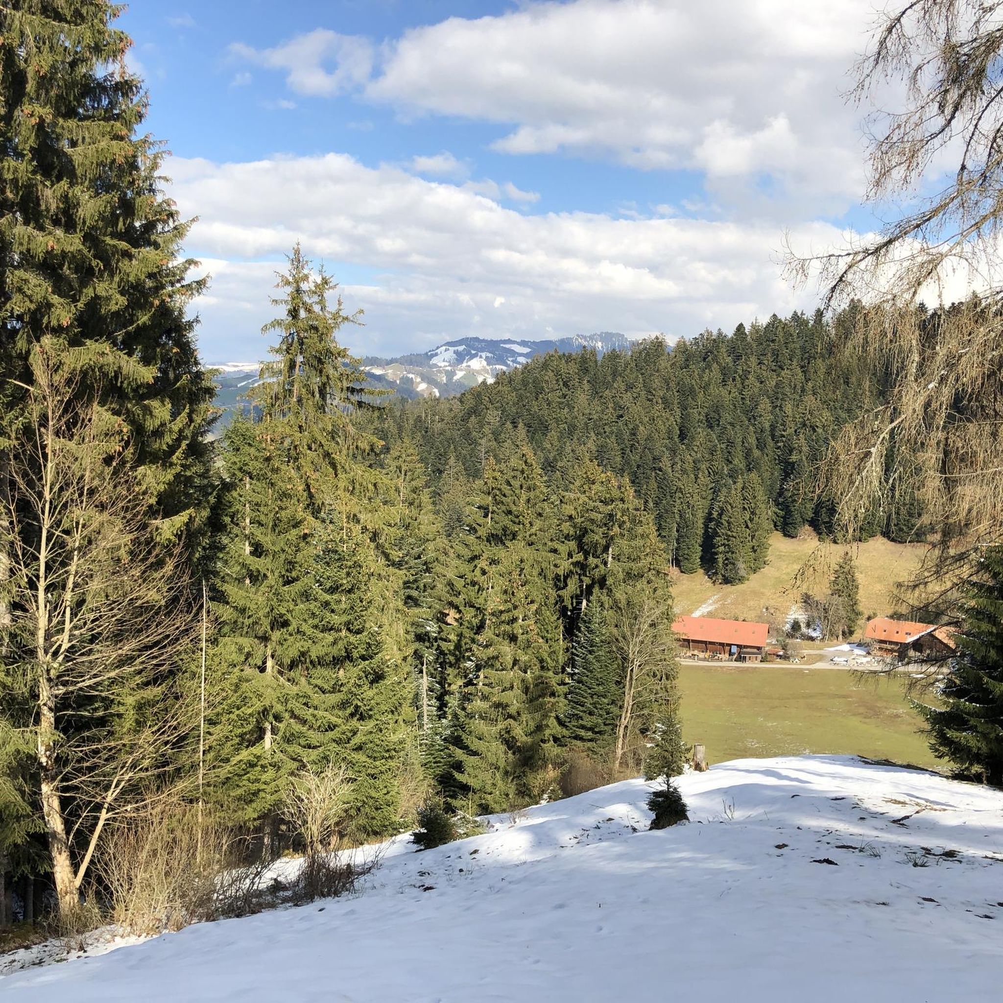
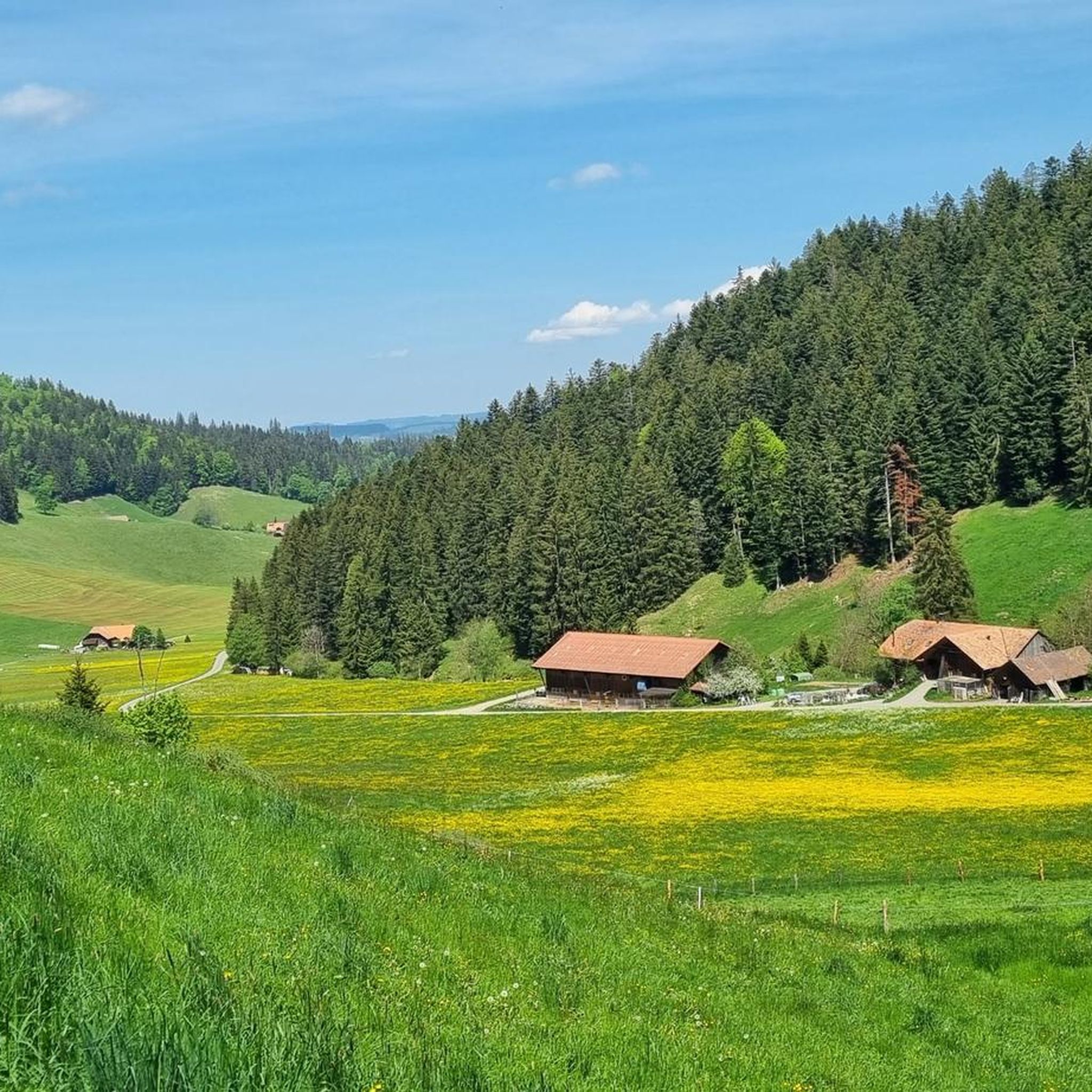
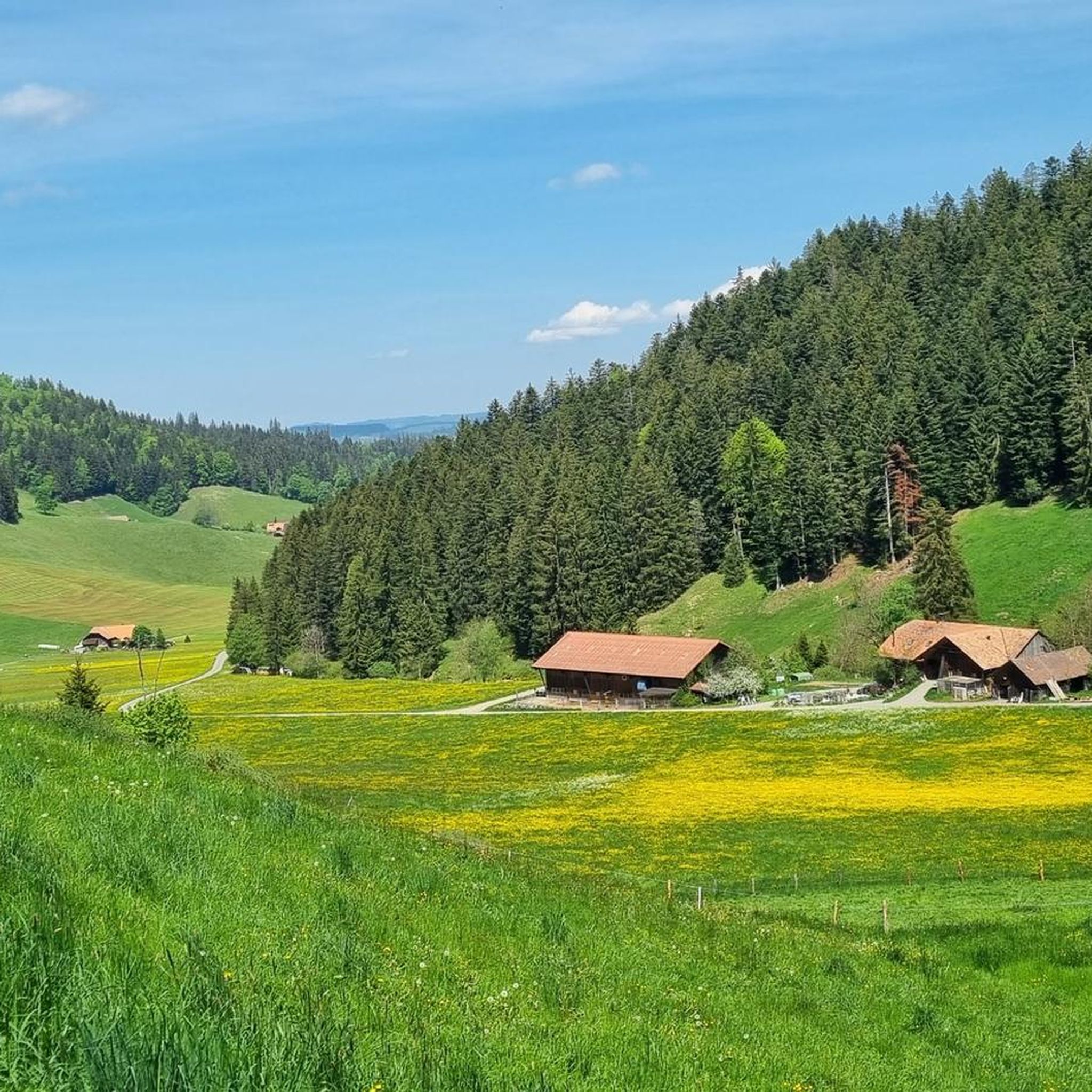
Jogging routes around Teuffenthal (BE) traverse a diverse pre-Alpine landscape, situated in the left Zulgtal valley and on the northern flank of the Blueme mountain. The region features extensive forests, covering nearly half of its land, alongside agricultural areas and pastures. Elevations range from 770 meters to 1,396 meters, offering varied terrain for running.
Best jogging routes around Teuffenthal (BE)
- The most popular jogging route is Running loop from Heiligenschwendi, a 4.0 miles (6.5 km) trail that takes about…
Last updated: August 21, 2026
18
runners
6.47km
00:48
220m
220m
Moderate run. Good fitness required. Mostly paved surfaces. Suitable for all skill levels.
8
runners
8.72km
01:04
270m
270m
Moderate run. Good fitness required. Mostly paved surfaces. Suitable for all skill levels.

Sign up for free
8
runners
Moderate run. Good fitness required. Mostly accessible paths. Some sure footedness required.
3
runners
6.85km
00:53
270m
270m
Moderate run. Good fitness required. Mostly paved surfaces. Suitable for all skill levels.
4.0
(1)
4
runners
12.9km
01:32
280m
280m
Moderate run. Good fitness required. Mostly paved surfaces. Suitable for all skill levels.
Get access to more routes and recommendations from other explorers.
Sign up for free
Already have an account?
Our route recommendations are based on thousands of hikes, rides, and runs completed by other people on komoot.
Start today with a free account
Your next adventure awaits.
Login or Signup
Tips from the Community

On the heights of Lake Thun, the view is splendid at just over 1,000 metres above sea level, between forests and mountain pastures.
0
0

A wonderful viewing point including a barbecue area. Fantastic views over Lake Thun as well as the Eiger, Mönch and Jungfrau, among others. Can also be done with a bike
0
0

Nice view of Thun and the lake
0
0

Fantastic panoramic view of the Alps and Lake Thun
0
0

on the ascent to Blueme, the path almost always leads past the wolf's pit
0
0
1x a week to the flower, you usually drive past the wolf's pit!
0
0

Unique view: the Eiger, Mönch and Jungfrau present themselves in a splendid way and dominate the "skyline".
0
0
Frequently Asked Questions
How many running routes are available in Teuffenthal (BE)?
Teuffenthal (BE) offers a wide selection of running trails, with over 400 routes available for exploration. This includes a mix of easy, moderate, and difficult options to suit various fitness levels.
What types of terrain can I expect on the jogging routes in Teuffenthal (BE)?
The running routes in Teuffenthal (BE) traverse a diverse pre-Alpine landscape. You'll find extensive forests, agricultural land, and pastures, with elevations ranging from 770 meters to 1,396 meters. This provides varied terrain, from valley floors along the Zulg river to more challenging uphill runs on the northern flank of the Blueme mountain.
Are there any easy or beginner-friendly jogging routes in Teuffenthal (BE)?
Yes, Teuffenthal (BE) has options for all levels. There are 36 easy running routes, perfect for beginners or those looking for a more relaxed jog. These routes often feature gentler inclines and scenic paths through the valley or forested areas.
Can I find challenging running trails in Teuffenthal (BE)?
Absolutely. For experienced runners seeking a challenge, Teuffenthal (BE) offers 115 difficult routes. These trails often involve significant elevation changes, taking you up into the pre-Alpine environment and towards higher points like the Blueme mountain, providing a rewarding workout.
What scenic views can I expect while running in Teuffenthal (BE)?
Many running routes in Teuffenthal (BE) offer breathtaking vistas. From higher elevations, particularly around the Blueme mountain, you can enjoy spectacular panoramic views of Lake Thun and the majestic Bernese Alps. For example, the View of Lake Thun – Niesenbänkli Viewpoint loop from Schwändiblueme provides excellent scenic glimpses.
Are there any circular running routes in Teuffenthal (BE)?
Yes, many of the running routes in Teuffenthal (BE) are circular, allowing you to start and end at the same point. A popular moderate option is the Running loop from Heiligenschwendi, which is 6.5 km long. Another great choice is the Blueme Observation Tower – Blueme Observation Tower loop from Heiligenschwendi, offering a 6.7 km run through forested areas.
What do other runners say about the trails in Teuffenthal (BE)?
The running trails in Teuffenthal (BE) are highly regarded by the komoot community, with an average rating of 4.5 stars from over 240 reviews. Runners often praise the diverse pre-Alpine environment, the extensive forests providing shaded paths, and the stunning panoramic views of Lake Thun and the Bernese Alps.
Are there any waterfalls or natural monuments to see along the running routes?
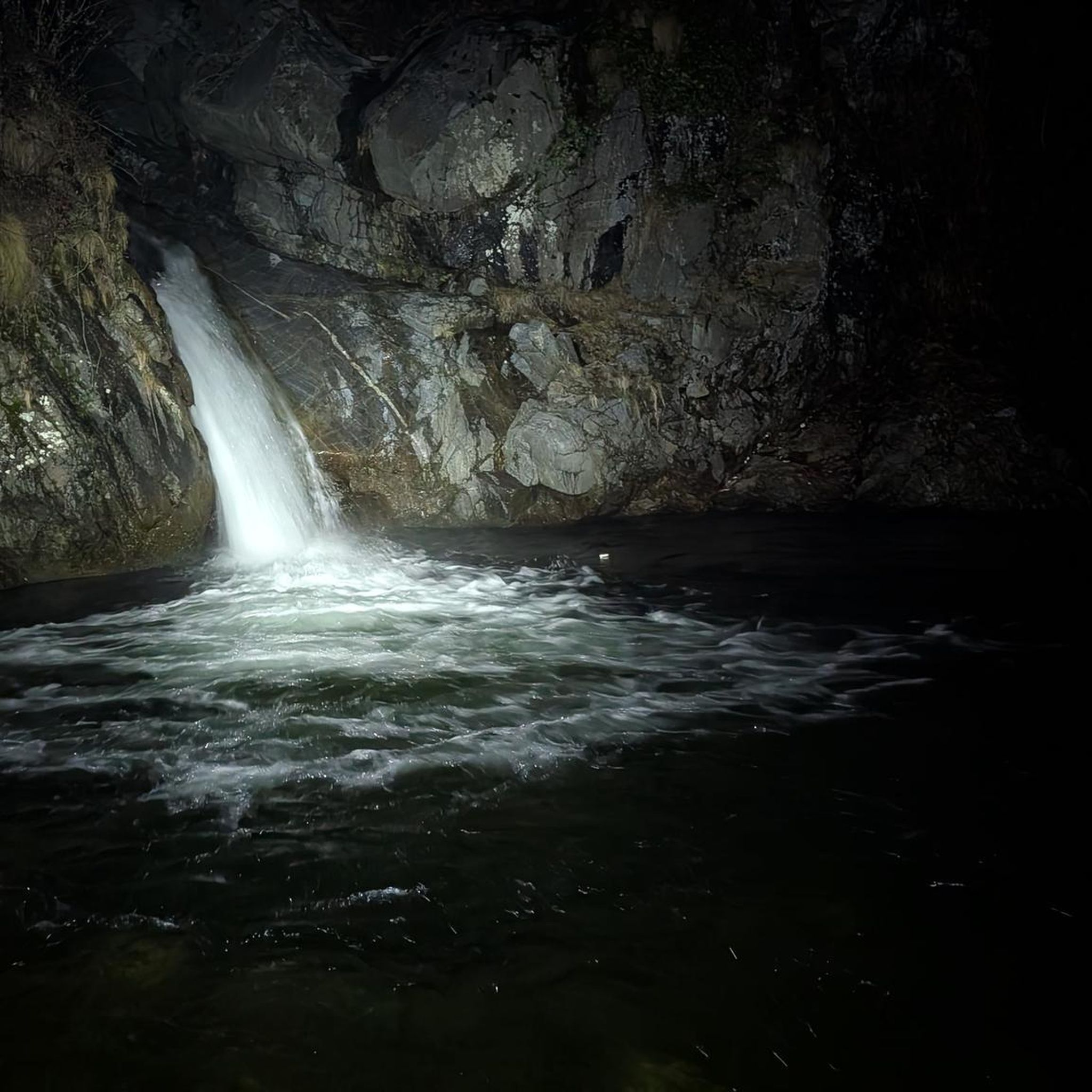
While running in the broader region around Teuffenthal (BE), you can explore several natural attractions. The St. Beatus Caves and the Waterfall in front of the Beatus Caves are notable natural monuments nearby that offer impressive sights.
What are some notable landmarks or points of interest near the running trails?
Beyond the natural beauty, the region offers interesting landmarks. You might encounter summits like Burgfeldstand Summit or Sigriswiler Rothorn. The charming town of Thun, with its historic old town and castle, is also a significant nearby attraction, offering magnificent views.
Are there any long-distance running options in Teuffenthal (BE)?
Yes, for those looking for longer runs, Teuffenthal (BE) offers routes that extend over greater distances. For example, the Obere Hubel loop from Unterlangenegg is a moderate 12.8 km trail, providing a good option for a longer endurance run through varied landscapes.
Is Teuffenthal (BE) suitable for family-friendly jogging?
Yes, Teuffenthal (BE) offers several easy and moderate routes that are suitable for families. The varied terrain means you can find flatter sections through forests or along agricultural paths that are less strenuous, allowing for an enjoyable outing with children. Always check the route details for specific difficulty and length.
What is the best season for running in Teuffenthal (BE)?
Teuffenthal (BE)'s pre-Alpine environment makes it suitable for running throughout much of the year. Spring and autumn offer pleasant temperatures and vibrant scenery. Summer provides shaded trails in the extensive forests, while winter can transform the landscape into a picturesque setting, though some higher routes might require appropriate gear or be less accessible.
Most popular routes around Teuffenthal (BE)
Most popular attractions around Teuffenthal (BE)

Get inspired with the komoot mobile app


Explore more
Browse the best Running Trails & Routes in other regions.
