The best mountain hikes around Stocken-Höfen
4.9
(55)
517
hikers
22
hikes
Mountaineering routes around Stocken-Höfen are situated in the Bernese Oberland, characterized by a diverse topography that includes the drumlin landscape of the Stocken valley and the prominent Stockhorn mountain. The region offers rigorous trails and challenging hikes, appealing to experienced hikers with alpine ambitions. These routes often demand significant endurance and skill, providing an environment for activities closely related to mountaineering.
Best mountaineering routes around Stocken-Höfen
- The most popular mountaineering route is Brothüsiweg Covered Bridge – Adlerhorst (1960 m) loop…
Last updated: October 23, 2026
4.7
(16)
131
hikers
7.81km
04:08
730m
730m
Hard mountaineering route. Good fitness required. Sure-footedness, sturdy shoes and alpine experience required.
4.9
(14)
83
hikers
9.22km
03:52
540m
540m
Hard mountaineering route. Good fitness required. Sure-footedness, sturdy shoes and alpine experience required.

5.0
(5)
95
hikers
6.60km
03:27
510m
510m
Hard mountaineering route. Good fitness required. Sure-footedness, sturdy shoes and alpine experience required.
5.0
(1)
35
hikers
8.50km
03:51
620m
620m
Moderate mountaineering route. Good fitness required. Mostly walkable paths. Sure-footedness required.
18
hikers
13.8km
05:40
970m
970m
Hard mountaineering route. Very good fitness required. Mostly walkable paths. Sure-footedness required.
Get access to more routes and recommendations from other explorers.
Already have an account?
Our route recommendations are based on thousands of hikes, rides, and runs completed by other people on komoot.
Start today with a free account
Your next adventure awaits.
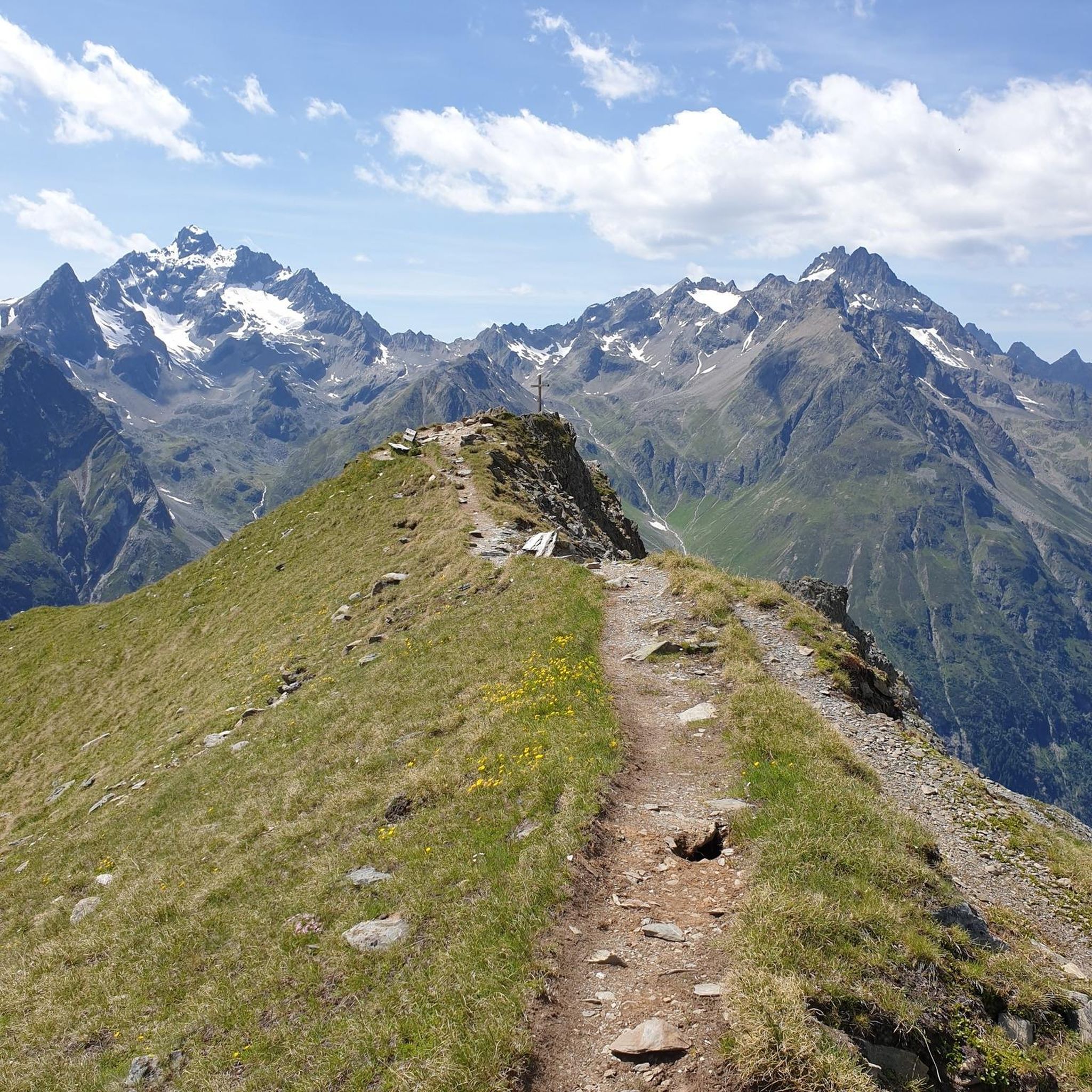
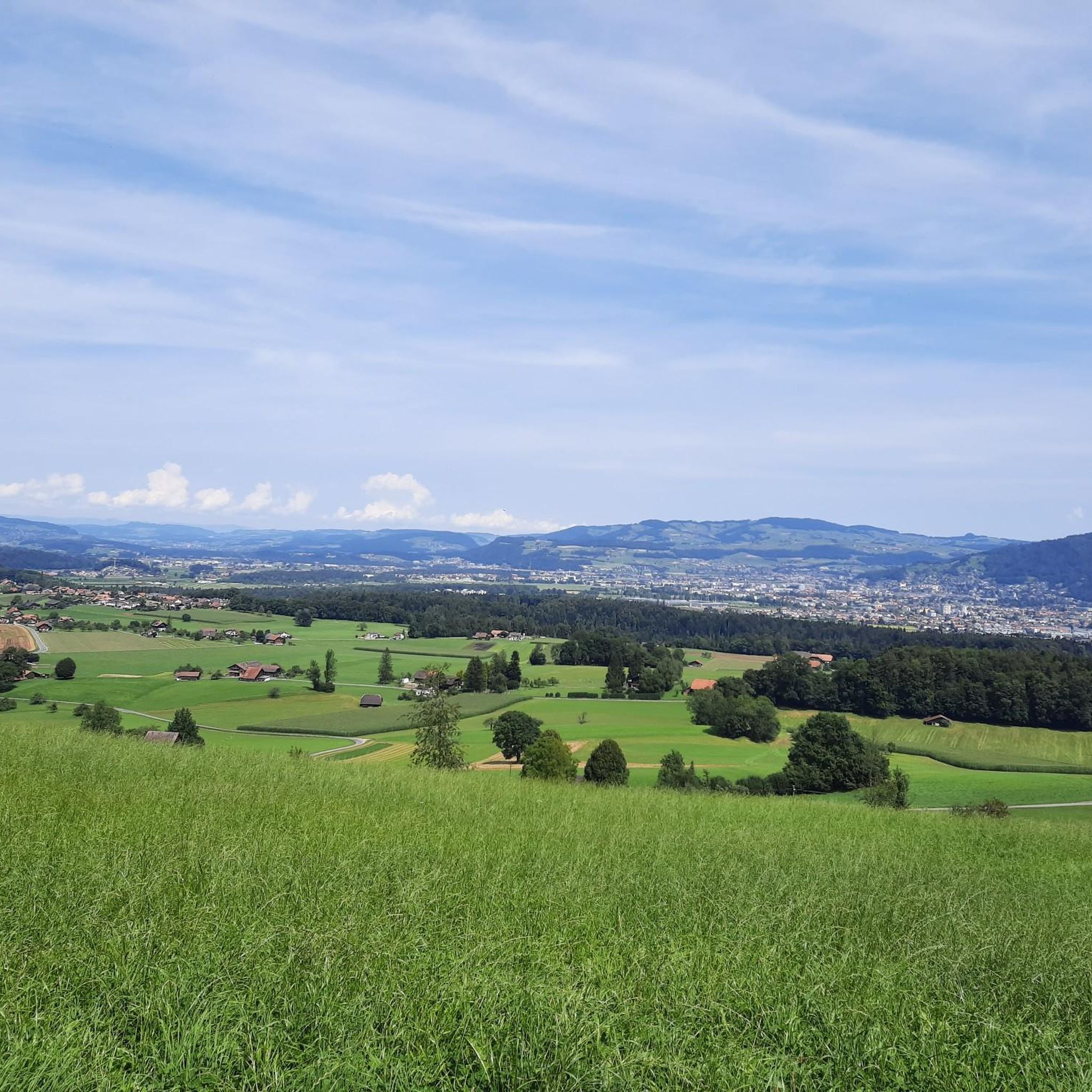
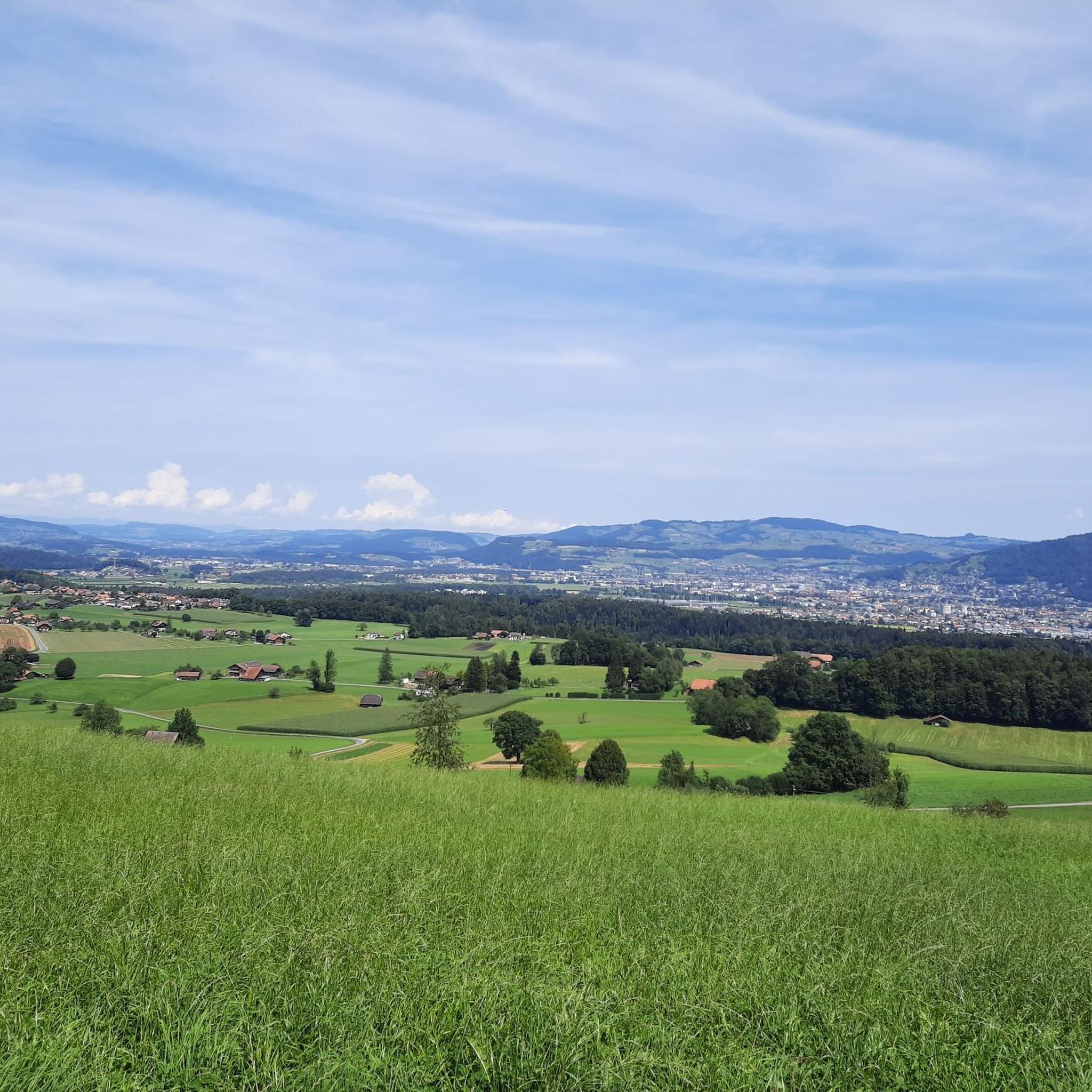
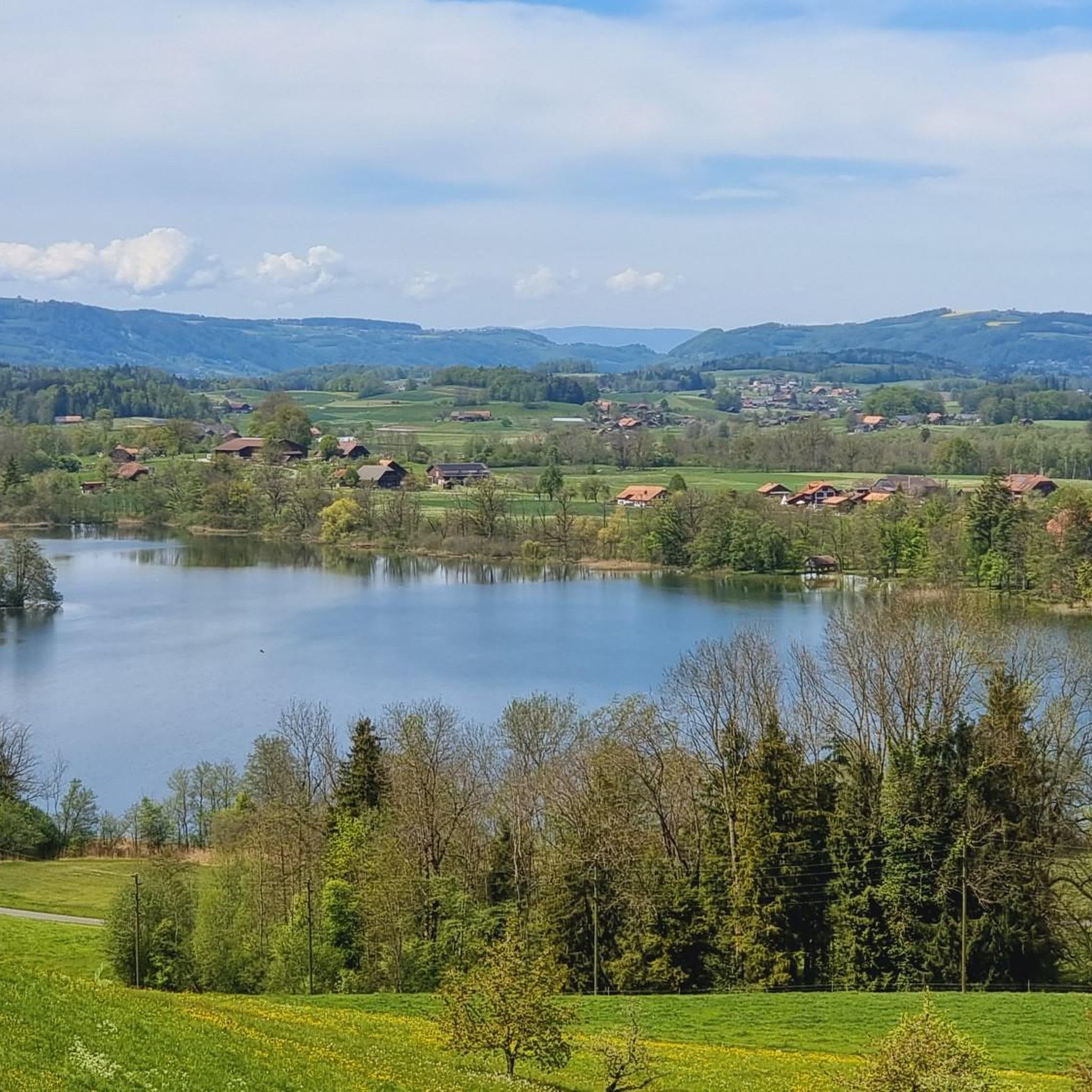
Tips from the Community

The Gantrischhütte is located in the middle of the Gantrisch Nature Park on the Gurnigel Pass road at an altitude of 1,510 meters. If you are driving over the Gurnigel or simply in this region in general, it is worth stopping here to replenish your energy reserves.
1
0

Great after-work hike, but I would recommend a helmet as rockfalls from wildlife or other hikers cannot be ruled out.
0
0

The rock formations tower impressively over the land and you are simply proud to sit up there and look down
0
0


Is there a better souvenir than cheese from the Alp?
0
1
It's always nice to cross passes that offer new vistas and allow you to step from one world into another. The Leitere Pass is one of those. Coming from Stockhort, you've got the last few meters of the tour to Gurnigel ahead of you, and you can perhaps look forward to a glass of milk or a cheese at Nünenealp. Or you're on your way toward Stockhorn and see the varied trail via Hohmad, Chatz & Mus, and Walalp for the first time. Yes, it is a beautiful place.
1
0

The Leiternpass is located between these two peaks.
8
2
Frequently Asked Questions
How many mountaineering routes are available in Stocken-Höfen?
There are over 20 mountaineering routes around Stocken-Höfen, offering a diverse range of challenges for experienced hikers. The region is known for its rigorous trails and demanding ascents.
What is the general difficulty level of mountaineering routes in Stocken-Höfen?
The mountaineering routes in Stocken-Höfen are predominantly challenging, with 16 classified as difficult and 6 as moderate. Many trails require very good fitness, sure-footedness, sturdy shoes, and alpine experience, reflecting the area's demanding terrain.
Are there any moderate mountaineering routes for those building experience?
Yes, while many routes are difficult, there are 6 moderate mountaineering routes available. An example is the Chumlihütte – Gantrischseeli loop from Gantrisch, which leads through alpine meadows and past the Gantrischseeli, offering a rewarding experience without the extreme demands of the most difficult trails.
What kind of views can I expect on these mountaineering routes?
The routes in Stocken-Höfen offer breathtaking panoramic views of the surrounding Swiss Alps, especially from prominent peaks like the Stockhorn. You'll also encounter diverse landscapes, from the rolling drumlin terrain of the Stocken valley to rugged alpine features.
Are there any circular mountaineering routes in the area?
Yes, several routes are designed as loops, allowing you to start and end at the same point. For instance, consider the challenging Brothüsiweg Covered Bridge – Adlerhorst (1960 m) loop from Wimmis, which features significant elevation gain towards the Adlerhorst.
What are some interesting landmarks or points of interest along the mountaineering routes?
Along the routes, you can discover various natural and cultural highlights. Notable points include the Leitere Pass, offering scenic views, and the Alp Obernünenen, a traditional alpine hut. The region also features information points providing insights into local flora and fauna.
What is the best time of year for mountaineering in Stocken-Höfen?
The best time for mountaineering in Stocken-Höfen is typically during the warmer months, from late spring to early autumn, when trails are clear of snow and weather conditions are more stable. Given the alpine nature of many routes, it's always wise to check local weather forecasts before heading out.
What gear is recommended for mountaineering in Stocken-Höfen?
For mountaineering in Stocken-Höfen, sturdy hiking boots with good ankle support are essential due to the demanding terrain. Additionally, ensure you have appropriate layers of clothing for varying alpine weather, navigation tools, sufficient water and food, and a first-aid kit. Some routes may also benefit from hiking poles.
Can I find places to rest or stay overnight on longer routes?
Yes, for longer or multi-day excursions, you can find spots like the Obere Baach Campsite, which provides an ideal resting point amidst natural beauty. There are also several huts in the broader region, such as Läbeshuus Heiligenschwendi, that can serve as bases or overnight stops.
How can I reach the starting points of these routes?
Many starting points for mountaineering routes in Stocken-Höfen are accessible by car, with parking often available near trailheads. Public transport options, such as buses, also serve some areas, connecting to major hubs like Gurnigelpass. It's advisable to check specific route descriptions for detailed access information.
What do other mountaineers say about the routes in Stocken-Höfen?
The mountaineering routes in Stocken-Höfen are highly regarded by the komoot community, boasting an impressive average rating of 4.9 stars from over 40 reviews. Mountaineers frequently praise the challenging ascents, the stunning panoramic views, and the diverse alpine terrain that defines the region.
Are there any routes that traverse varied alpine terrain with expansive views?
Absolutely. The Chumlihütte – Morgetegrat loop from Gurnigelpass is a prime example. This difficult 9.2 km path traverses varied alpine terrain, offering expansive views from the Morgetegrat, making it a favorite among local mountaineers.
Are there any longer, more challenging routes for experienced mountaineers?
For experienced mountaineers seeking a significant challenge, the Mäggiserehore loop from Amtsbezirk Niedersimmental is an excellent option. This difficult route spans over 13 kilometers with nearly 1000 meters of elevation gain, demanding significant endurance and skill.
Most popular routes around Stocken-Höfen
Most popular attractions around Stocken-Höfen

Get inspired with the komoot mobile app


Explore more
Browse the best Mountain Hikes & Routes in other regions.
