The best mountain hikes around Forst-Längenbühl
5.0
(25)
300
hikers
16
hikes
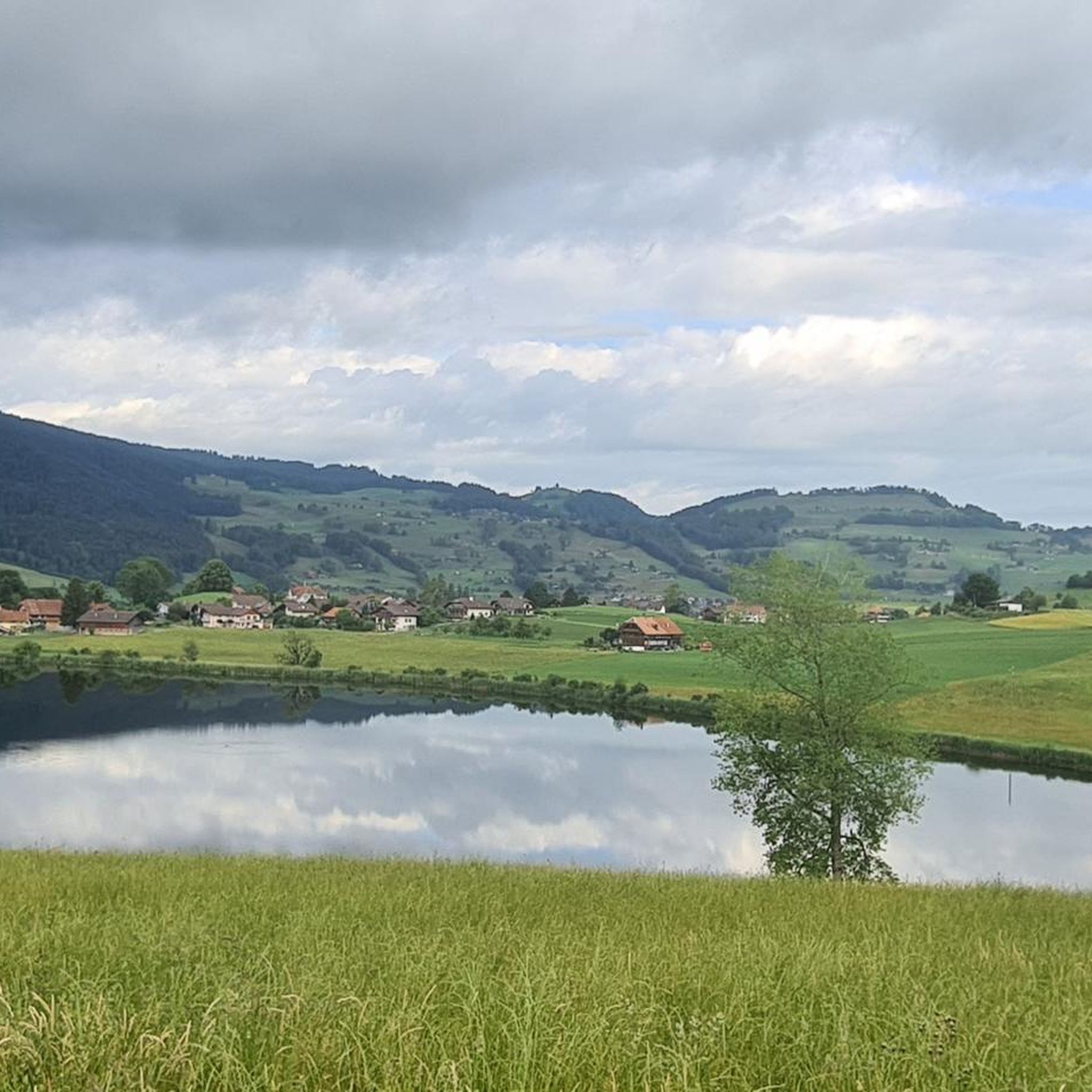
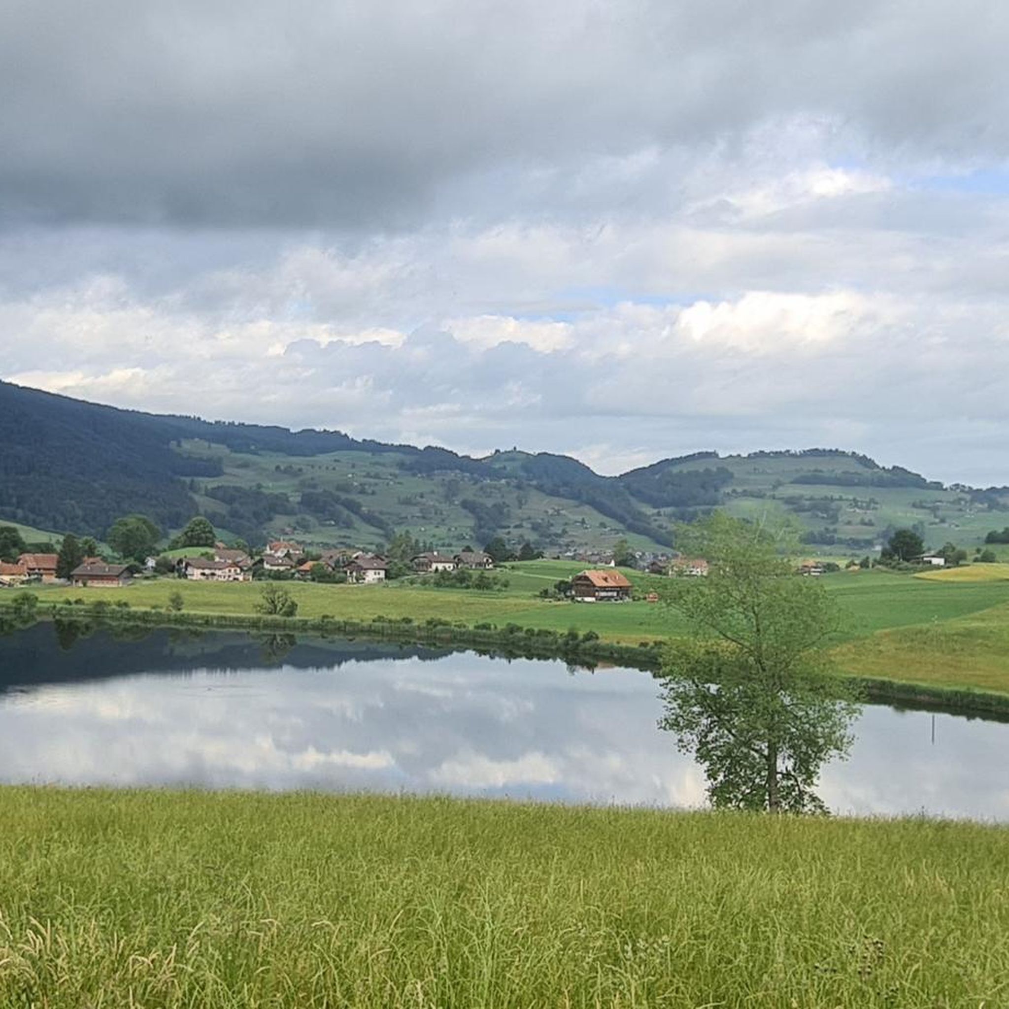
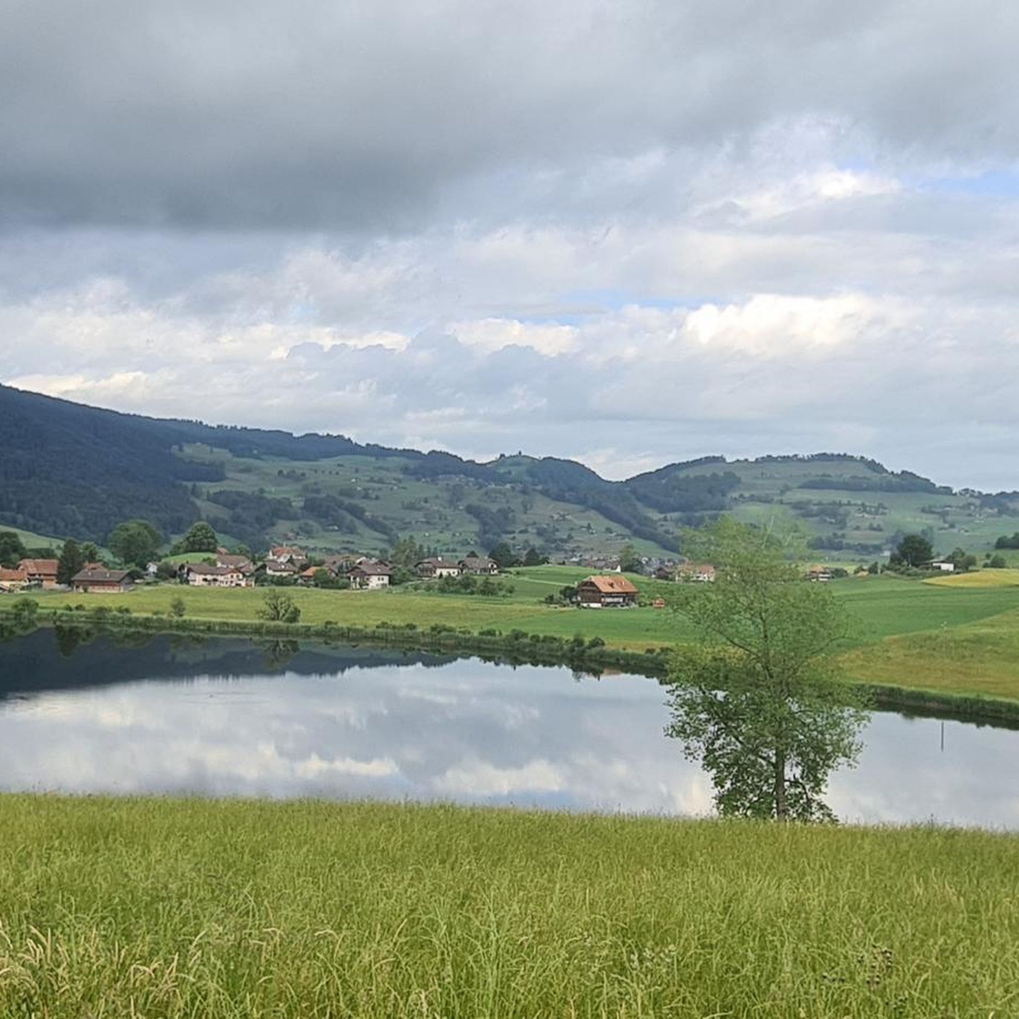
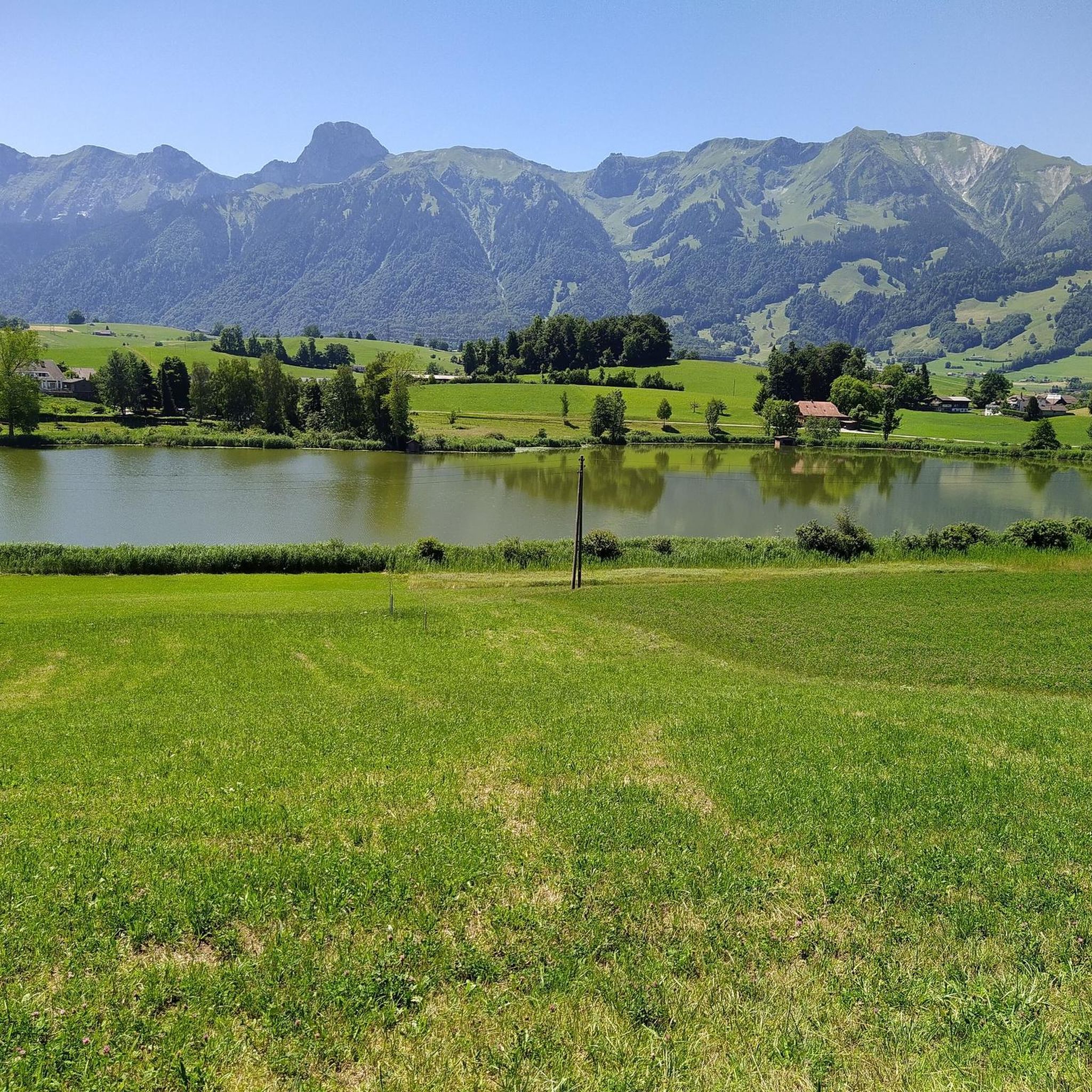
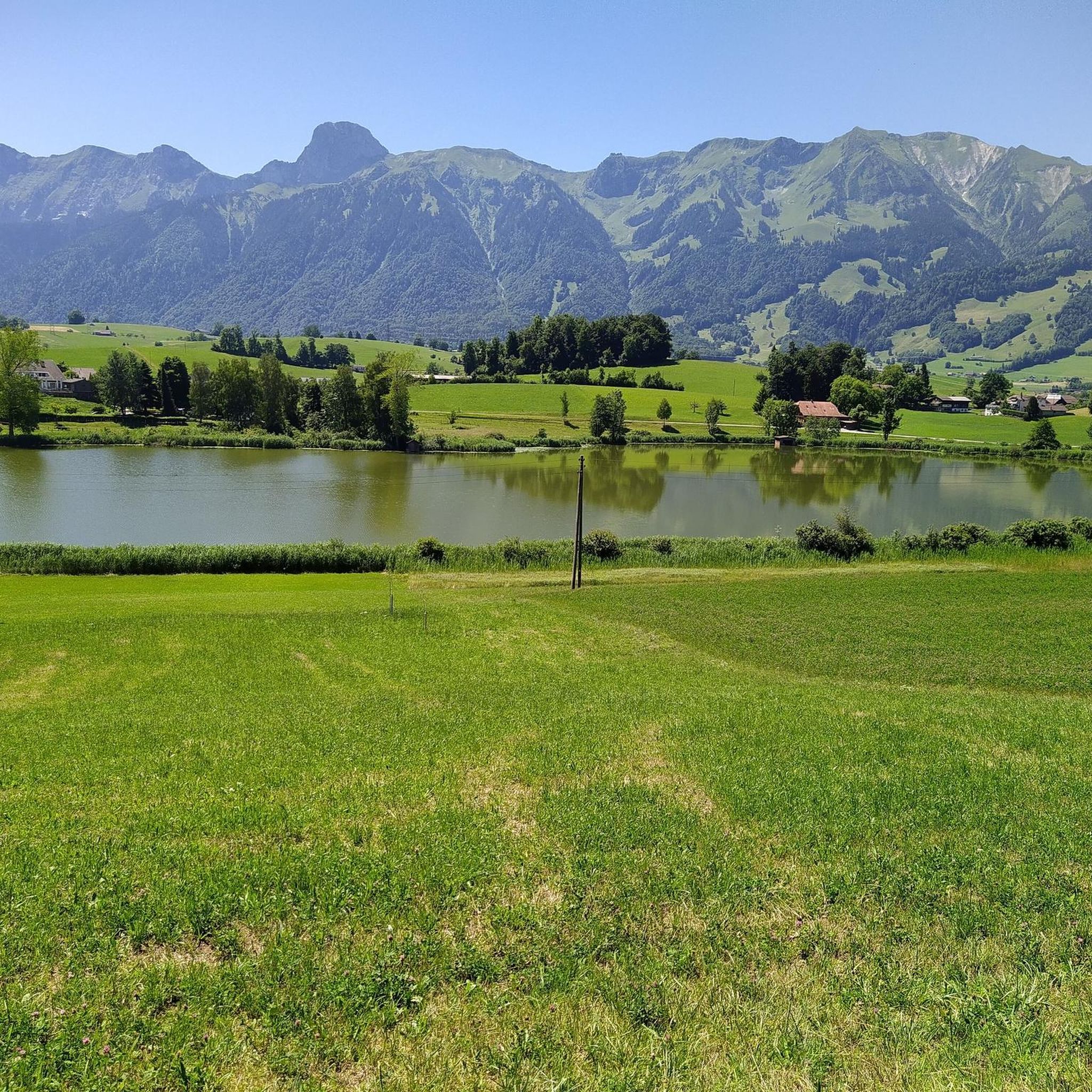
Mountaineering routes around Forst-Längenbühl are set within the diverse landscapes of the administrative district of Thun, offering access to the Gantrisch Nature Park. The region features a blend of forests, mountains, and valleys, characterized by the prominent Gantrisch Mountain Range. This area includes several smaller lakes like Dittligsee and Gantrischseeli, and lies within the moraine landscape of the Upper Gürbetal.
Best mountaineering routes around Forst-Längenbühl
- The most popular mountaineering route is Chumlihütte – Morgetegrat loop from Gurnigelpass, a 5.7…
Last updated: July 6, 2026
4.9
(11)
76
hikers
9.21km
03:51
540m
540m
Hard mountaineering route. Good fitness required. Sure-footedness, sturdy shoes and alpine experience required.
5.0
(5)
81
hikers
6.68km
03:29
510m
510m
Hard mountaineering route. Good fitness required. Sure-footedness, sturdy shoes and alpine experience required.

Sign up for free
5.0
(1)
36
hikers
8.61km
03:52
620m
620m
Moderate mountaineering route. Good fitness required. Mostly accessible paths. Sure-footedness required.
5.0
(1)
11
hikers
10.7km
04:50
720m
720m
Hard mountaineering route. Good fitness required. Sure-footedness, sturdy shoes and alpine experience required.
5.0
(2)
17
hikers
6.02km
02:28
430m
430m
Moderate mountaineering route. Good fitness required. Mostly accessible paths. Sure-footedness required.
Get access to more routes and recommendations from other explorers.
Sign up for free
Already have an account?
Our route recommendations are based on thousands of hikes, rides, and runs completed by other people on komoot.
Start today with a free account
Your next adventure awaits.
Login or Signup
Tips from the Community


Is there a better souvenir than cheese from the Alp?
0
1
It's always nice to cross passes that offer new vistas and allow you to step from one world into another. The Leitere Pass is one of those. Coming from Stockhort, you've got the last few meters of the tour to Gurnigel ahead of you, and you can perhaps look forward to a glass of milk or a cheese at Nünenealp. Or you're on your way toward Stockhorn and see the varied trail via Hohmad, Chatz & Mus, and Walalp for the first time. Yes, it is a beautiful place.
1
0

A very worthwhile summit with a great view that you have to work hard to reach... there is also a climbing route that leads up here... but because of the amazing view you are rarely alone
1
0
From here, numerous worthwhile paths lead off... the further climb up to the Gantrisch summit is very worthwhile
2
0
At the Morgeten Pass there are numerous places to sit next to the kiosk... there you can stock up on local specialties produced by the nearby Alp... the cheese is worth it
1
1
After the steep climb from Gantrischseeli, you can usually find peace and quiet here and enjoy the stunning view of the Alpine chain... pure enjoyment
1
1
Frequently Asked Questions
How many mountaineering routes can I explore around Forst-Längenbühl?
There are 16 mountaineering routes available in the Forst-Längenbühl area, offering a diverse range of experiences for outdoor enthusiasts. These routes are highly rated by the komoot community, with an average score of 5.0 stars.
What are the typical difficulty levels for mountaineering routes in this region?
Mountaineering routes around Forst-Längenbühl cater to various skill levels. You'll find 6 moderate routes, perfect for those with some experience, and 10 difficult routes that demand very good fitness, sure-footedness, and alpine experience. The region is known for its challenging alpine activities within the Gantrisch Nature Park.
Are there any particularly challenging mountaineering routes for experienced climbers?
Yes, for experienced mountaineers seeking a significant challenge, the region offers routes like the Gemsgrat Ridge, described as a spectacular alpine ridge hike rated T6. This route features thrilling exposed sections and requires proper gear and expertise due to its extreme danger. Other challenging routes can be found within the Gantrisch Nature Park, often requiring crampons and poles in spring due to persistent snow.
Which routes offer panoramic views of the Bernese Pre-Alps?
For breathtaking panoramic views of the Bernese Pre-Alps, consider the difficult route Chumlihütte – Morgetegrat loop from Gurnigelpass. The Gantrisch summit itself, at 2176 meters, also provides a stunning 360-degree panorama of the Bernese Pre-Alps, the Stockhorn chain, and the Napf region.
Are there any circular mountaineering routes in the area?
Yes, several routes are designed as loops. For example, the Chumlihütte – Gantrischseeli loop from Gantrisch is a moderate 5.3-mile path that leads through varied terrain, passing by the scenic Gantrischseeli lake. Another option is the Alp Obernünenen – Leiterepass loop from Gurnigelpass, a difficult 6.7-mile trail through alpine pastures.
What natural features or landmarks can I expect to see along the routes?
The region is rich in natural beauty. You can expect to see the prominent Gantrisch Mountain Range, several smaller lakes like Dittligsee, Geistsee, and Gantrischseeli, and dense forests within the moraine landscape of the Upper Gürbetal. Notable landmarks include the Gantrisch Summit and Leitere Pass.
Are there any routes that pass by lakes?
Yes, the Chumlihütte – Gantrischseeli loop from Gantrisch is a moderate route that specifically leads past the scenic Gantrischseeli lake. The region also features other tranquil lakes like Dittligsee and Geistsee, which add to the scenic beauty.
What is the best time of year for mountaineering in Forst-Längenbühl?
The best time for mountaineering generally depends on the specific route and conditions. While many routes are accessible in warmer months, some challenging alpine routes, especially in spring, may still have persistent snow, necessitating crampons and poles. Always check current conditions before heading out.
What do other mountaineers enjoy most about the routes in Forst-Längenbühl?
The routes in Forst-Längenbühl are highly rated by the komoot community, with an average score of 5.0 stars from over 20 reviews. Mountaineers often praise the diverse landscapes, the challenging alpine experiences, and the stunning panoramic views, particularly from summits like Gantrisch. The intact, lovely landscape and opportunities to observe rare animal and plant species are also frequently highlighted.
Are there any longer, more demanding mountaineering routes available?
For those looking for a longer and more demanding experience, the Alp Obernünenen – Leitere Pass loop from Gantrisch is a difficult route spanning nearly 21 km with significant elevation gain, typically taking over 7 hours to complete. This route offers a substantial challenge for well-prepared mountaineers.
Can I access mountaineering routes using public transport?
While specific public transport details for each trailhead are best checked locally, Forst-Längenbühl is situated in the administrative district of Thun, which generally has good connections within the Swiss canton of Bern. Many routes, like those starting from Gurnigelpass or Gantrisch, are often accessible via regional bus services, especially during peak hiking seasons.
Are there any routes suitable for observing wildlife or unique flora?
Yes, the Gantrisch Nature Park, which Forst-Längenbühl is a gateway to, is a haven for nature lovers. The varied mountain trails within the park offer excellent opportunities to observe rare animal and plant species in their natural habitat. The park spans 400 square kilometers, providing ample untouched natural landscapes for exploration.
Most popular routes around Forst-Längenbühl
Most popular attractions around Forst-Längenbühl

Get inspired with the komoot mobile app


Explore more
Browse the best Mountain Hikes & Routes in other regions.
