The best walks and hikes around Soleilhas
4.5
(1019)
6,463
hikers
12
hikes
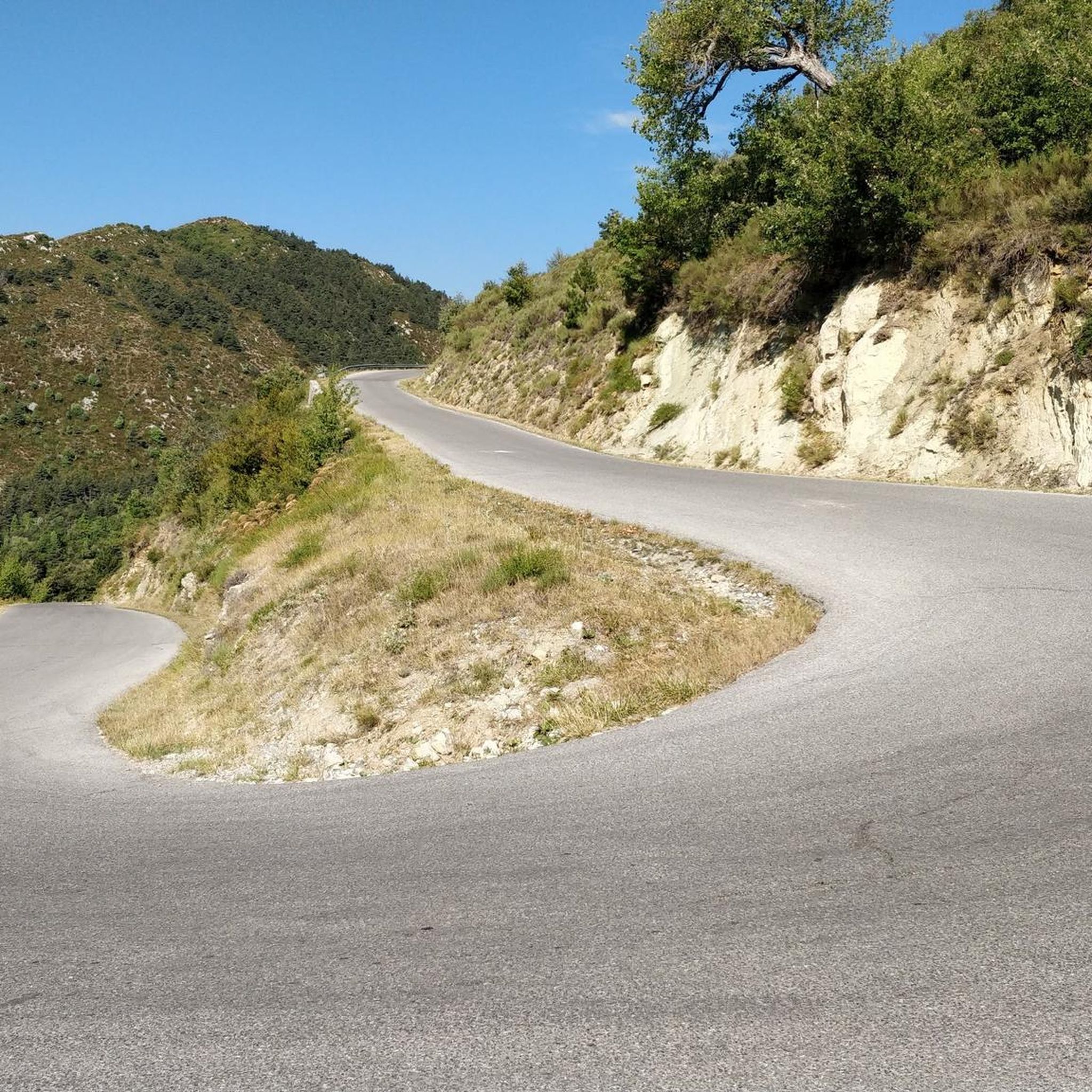
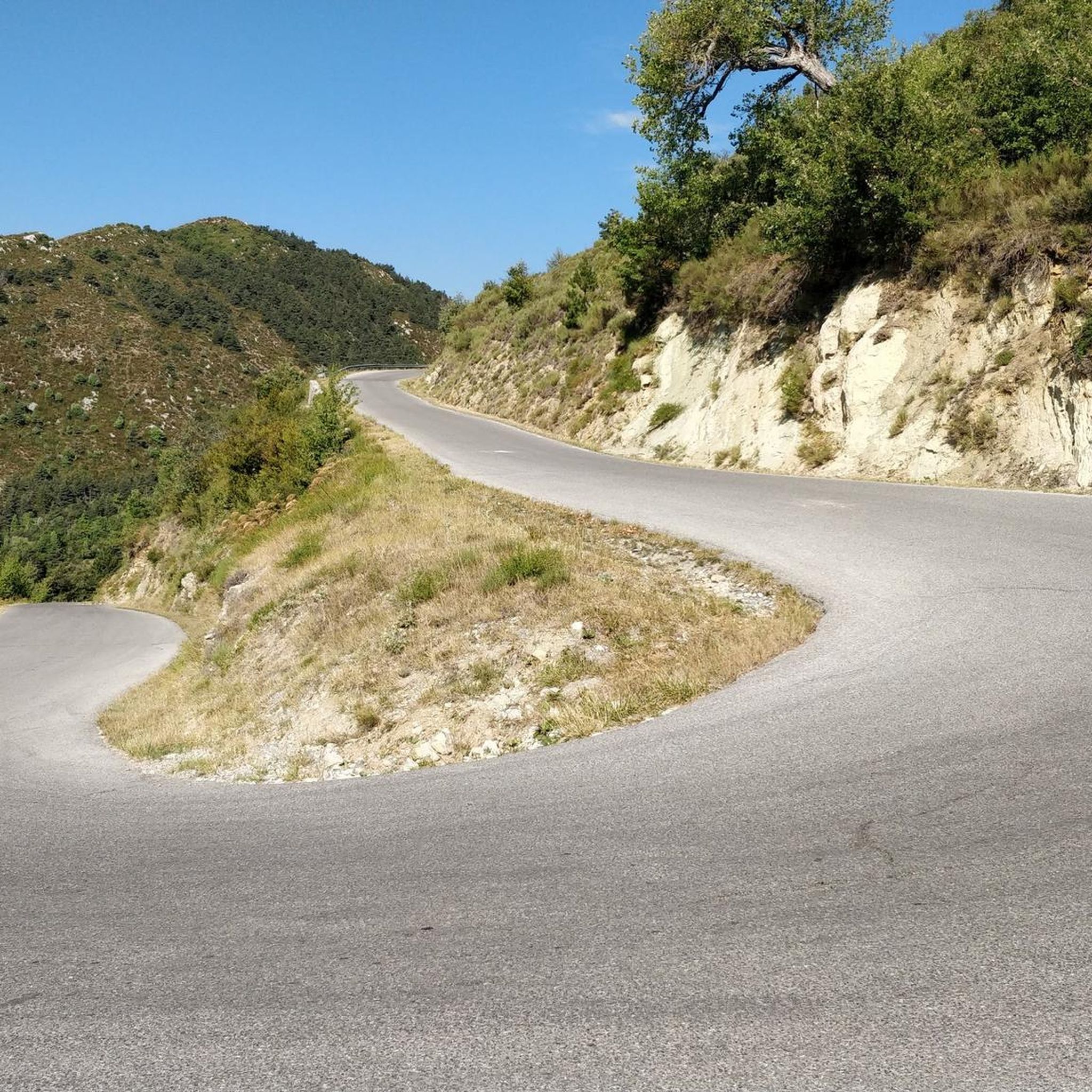
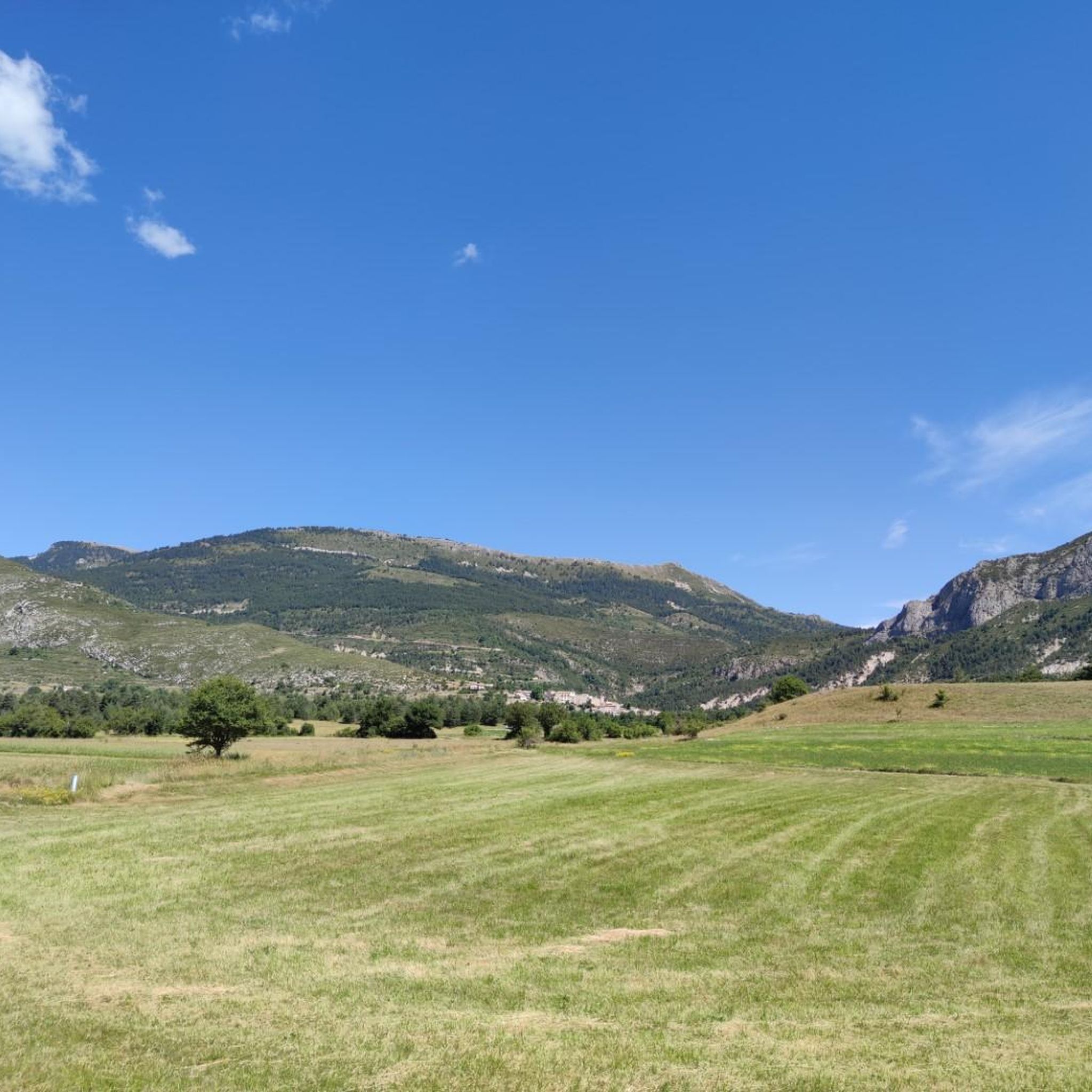
Hiking around Soleilhas, located in the Alpes-de-Haute-Provence department of southeastern France, offers diverse terrain for outdoor enthusiasts. The region is characterized by mountainous landscapes, with peaks reaching up to 1,894 meters (6,214 feet), providing varied routes through forests, rocky outcrops, and scenic ridges. It is situated near the Gorges du Verdon, France's largest canyon, and features several lakes like Lac de Castillon and Lac de Sainte-Croix, enhancing the hiking experience. The village itself lies in a valley where the Estéron…
Last updated: October 25, 2026
5.0
(2)
9
hikers
Easy hike. Easily walkable paths.
4.7
(6)
26
hikers
9.08km
03:22
400m
400m
Moderate hike. Good fitness required. Mostly walkable paths. Sure-footedness required.

4.5
(4)
24
hikers
11.3km
04:07
690m
700m
Moderate hike. Good fitness required. Mostly walkable paths. Sure-footedness required.
6
hikers
8.05km
02:39
350m
350m
Moderate hike. Good fitness required. Mostly walkable paths. Sure-footedness required.
5.0
(4)
18
hikers
12.7km
04:11
600m
600m
Moderate hike. Good fitness required. Easily walkable paths.
Get access to more routes and recommendations from other explorers.
Already have an account?
Our route recommendations are based on thousands of hikes, rides, and runs completed by other people on komoot.
Start today with a free account
Your next adventure awaits.

Tips from the Community

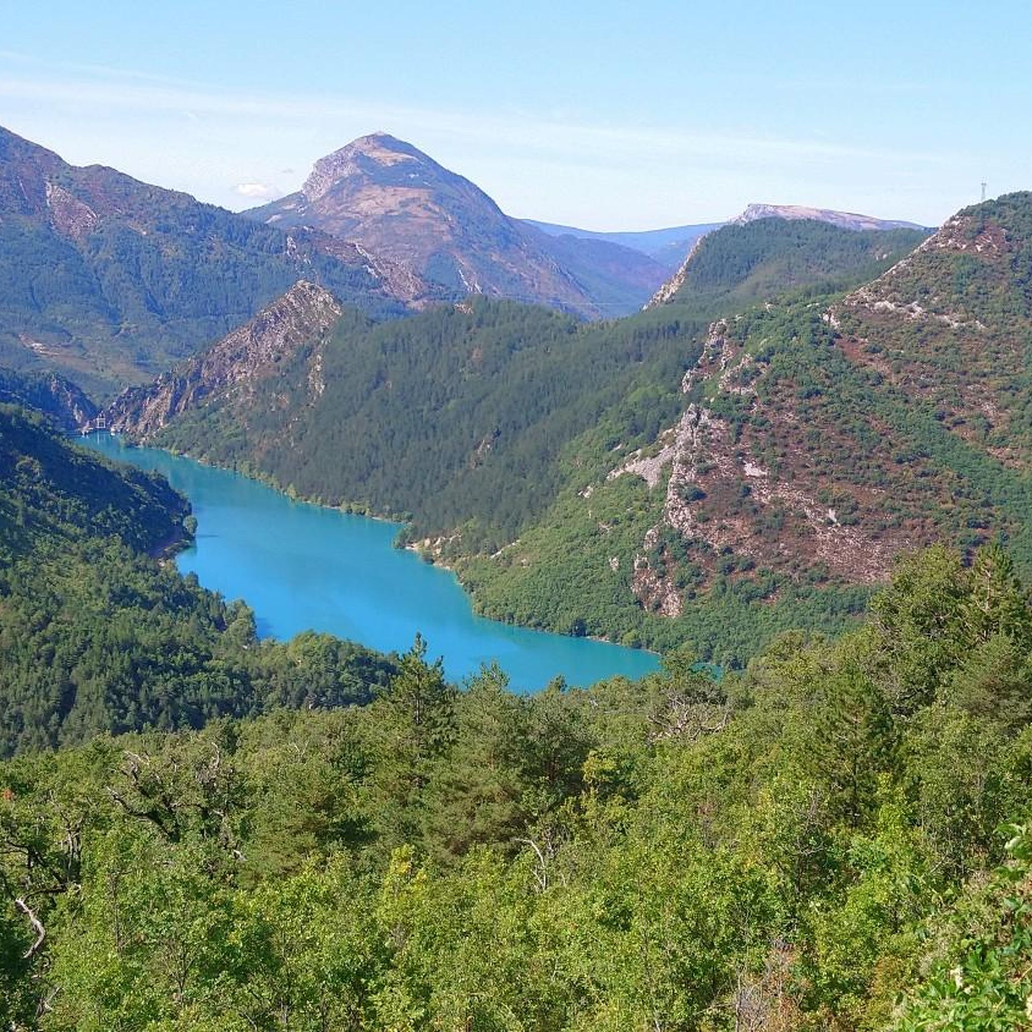
Super climb, not too steep, with magnificent views of the Chaudane and Castillon lakes.
1
0

great views after a exciting run/hike to the summit of La Bernarde
0
0
Frequently Asked Questions
How many hiking trails are available in Soleilhas?
Soleilhas offers a wide variety of hiking experiences, with over 120 routes available. These trails cater to different skill levels, from easy walks to more challenging ascents through mountainous terrain.
What natural features or landmarks can I see while hiking around Soleilhas?
The region around Soleilhas is rich in natural beauty. You can explore the dramatic landscapes of the nearby Gorges du Verdon, France's largest canyon, or discover serene lakes like Lake Castillon and Lac de Chaudanne. Hikers can also encounter unique geological formations such as the King's Chamber cave or enjoy views from the Col du Buis.
What do other hikers enjoy most about hiking in Soleilhas?
The hiking trails in Soleilhas are highly regarded by the komoot community, boasting an average rating of 4.5 stars from nearly 1,000 reviews. Hikers frequently praise the diverse terrain, from scenic ridges and forests to picturesque river valleys, and the breathtaking panoramic views of the mountainous landscape.
Are there family-friendly hiking options in Soleilhas?
Yes, Soleilhas offers several easy trails suitable for families. For instance, the Bernarde Summit – La Bernarde Summit loop from Vauplane is an easy 2.6-mile (4.2 km) route that can be completed in about 1 hour 30 minutes, offering enjoyable views without significant challenge.
Can I hike with my dog in Soleilhas?
Many trails in Soleilhas are suitable for hiking with dogs, allowing you to explore the natural beauty with your canine companion. It's always recommended to keep dogs on a leash, especially in areas with wildlife or livestock, and to check local regulations for specific trails.
Are there circular hiking routes available in Soleilhas?
Absolutely. Many of the trails around Soleilhas are designed as loops, allowing you to start and end at the same point. A popular moderate option is the La Bernarde Summit – Vauplane stade de neige loop from Sommet de la Gourre, which covers 5.2 miles (8.4 km) and explores higher elevations.
Are there any hikes that feature waterfalls?
Yes, you can find trails that lead to beautiful water features. The La Chapelle de Saint-Pierre – Cascade des Coulettes loop from Soleilhas is a 5.6-mile (9.1 km) trail that takes you through varied terrain, including the Cascade des Coulettes waterfall.
What are the difficulty levels of hikes in Soleilhas?
Soleilhas provides a range of difficulty levels. You'll find approximately 36 easy routes, 73 moderate routes, and 13 more challenging trails. This variety ensures there's something for every hiker, from beginners to experienced adventurers.
Which hikes offer the best panoramic views?
Many trails in Soleilhas offer stunning panoramic views due to the region's mountainous terrain. Routes that ascend to summits or ridges, such as those found on 'Solheilas - Vauplane - Les Crêtes de la Bernarde' or the Vauplane stade de neige – La Bernarde Summit loop from Plan des pistes, are excellent choices for breathtaking vistas.
Is parking available at trailheads in Soleilhas?
While specific parking information for every trailhead isn't always detailed, Soleilhas and its surrounding villages typically offer parking options. It's advisable to check local signage or maps for designated parking areas near popular starting points for hikes.
Can I explore historical sites or charming villages while hiking?
Yes, the region around Soleilhas is dotted with charming villages and historical sites. Hiking paths often connect these areas, allowing you to combine your outdoor adventure with cultural exploration. Nearby villages like Castellane and Annot offer historical centers and unique architecture that add another dimension to your trip.
Are there any longer, more challenging hikes in the area?
For those seeking a longer and more challenging experience, Soleilhas offers several options. The Vauplane stade de neige – La Bernarde Summit loop from Plan des pistes is a moderate 7-mile (11.3 km) route with significant elevation gain, providing a good workout and rewarding views.
Most popular routes around Soleilhas
Most popular attractions around Soleilhas

Get inspired with the komoot mobile app


Explore more
Browse the best Hikes in other regions.
