The best walks and hikes around Saint-Martin-Lès-Seyne
4.2
(476)
2,930
hikers
76
hikes
Hiking around Saint-Martin-Lès-Seyne provides access to varied landscapes, characterized by rolling hills, forested areas, and views towards higher elevations. The region features a network of trails with moderate elevation changes, suitable for different hiking abilities. Water features, such as nearby lakes, also contribute to the scenic diversity of the area.
Best hiking trails around Saint-Martin-Lès-Seyne
- The most popular hiking route is La Grosse Pierre, a 3.5 miles (5.7 km) trail that takes 1 hour 32 minutes to complete. This…
Last updated: September 1, 2026
4.3
(4)
15
hikers
5.71km
01:33
120m
120m
Easy hike. Great for any fitness level. Easily-accessible paths. Suitable for all skill levels.
4.4
(5)
26
hikers
8.89km
02:53
400m
400m
Moderate hike. Good fitness required. Easily-accessible paths. Suitable for all skill levels.

Sign up for free
3.3
(3)
9
hikers
6.64km
02:02
220m
220m
Moderate hike. Good fitness required. Easily-accessible paths. Suitable for all skill levels.
3.7
(3)
9
hikers
5.13km
01:30
150m
150m
Easy hike. Great for any fitness level. Easily-accessible paths. Suitable for all skill levels.
5.0
(1)
8
hikers
13.2km
03:51
360m
360m
Moderate hike. Good fitness required. Easily-accessible paths. Suitable for all skill levels.
Get access to more routes and recommendations from other explorers.
Sign up for free
Already have an account?
Our route recommendations are based on thousands of hikes, rides, and runs completed by other people on komoot.
Start today with a free account
Your next adventure awaits.
Login or Signup

Tips from the Community

The climb up this hill is very beautiful, with sections with difficult slopes.
13
0
A hill with excellent asphalt and sometimes difficult slopes.
11
0
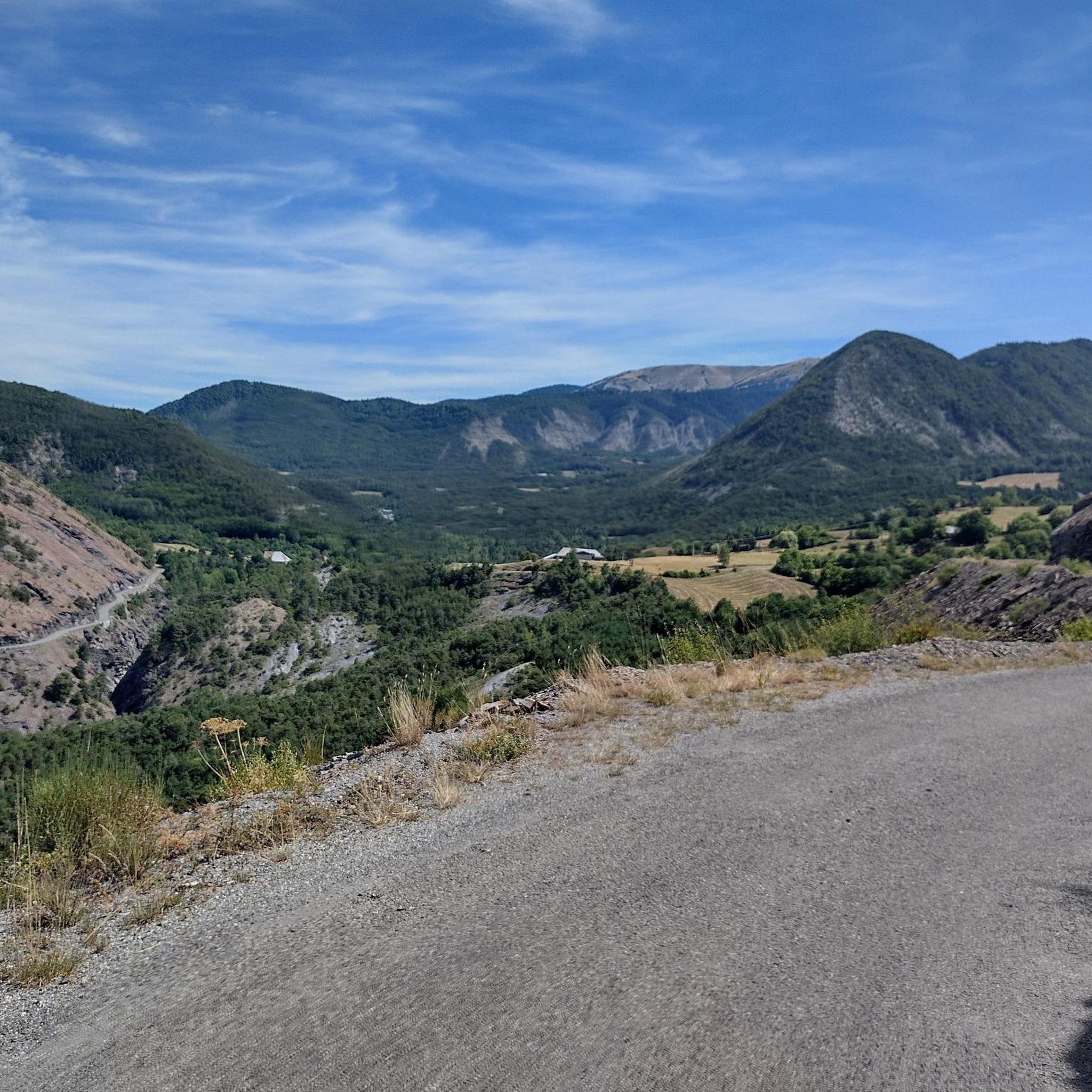
Truly stupendous panorama, it leaves you breathless.
9
0

The path above the Liberne district offers a beautiful unobstructed view of the Blanche valley as well as the village of Quellenet.
1
0
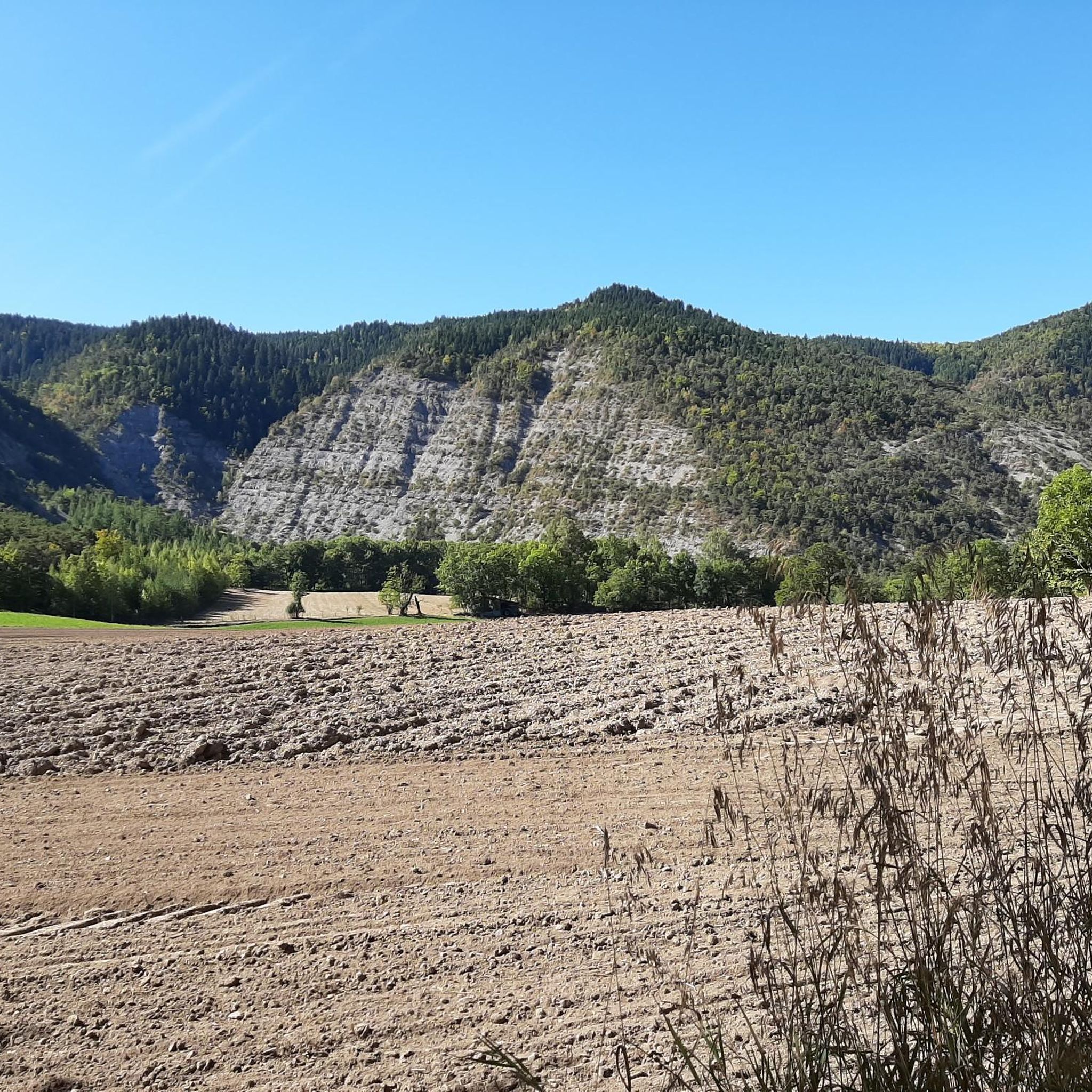
This village is located in the heart of the Blanche valley. Initially focused on agriculture, it moved towards tourism. Its ski resort is as pleasant in summer as in winter. Land of nature, its deep forest and pastures shelter exceptional fauna and flora. Which means it is placed under Natura 2000 protection.
1
0

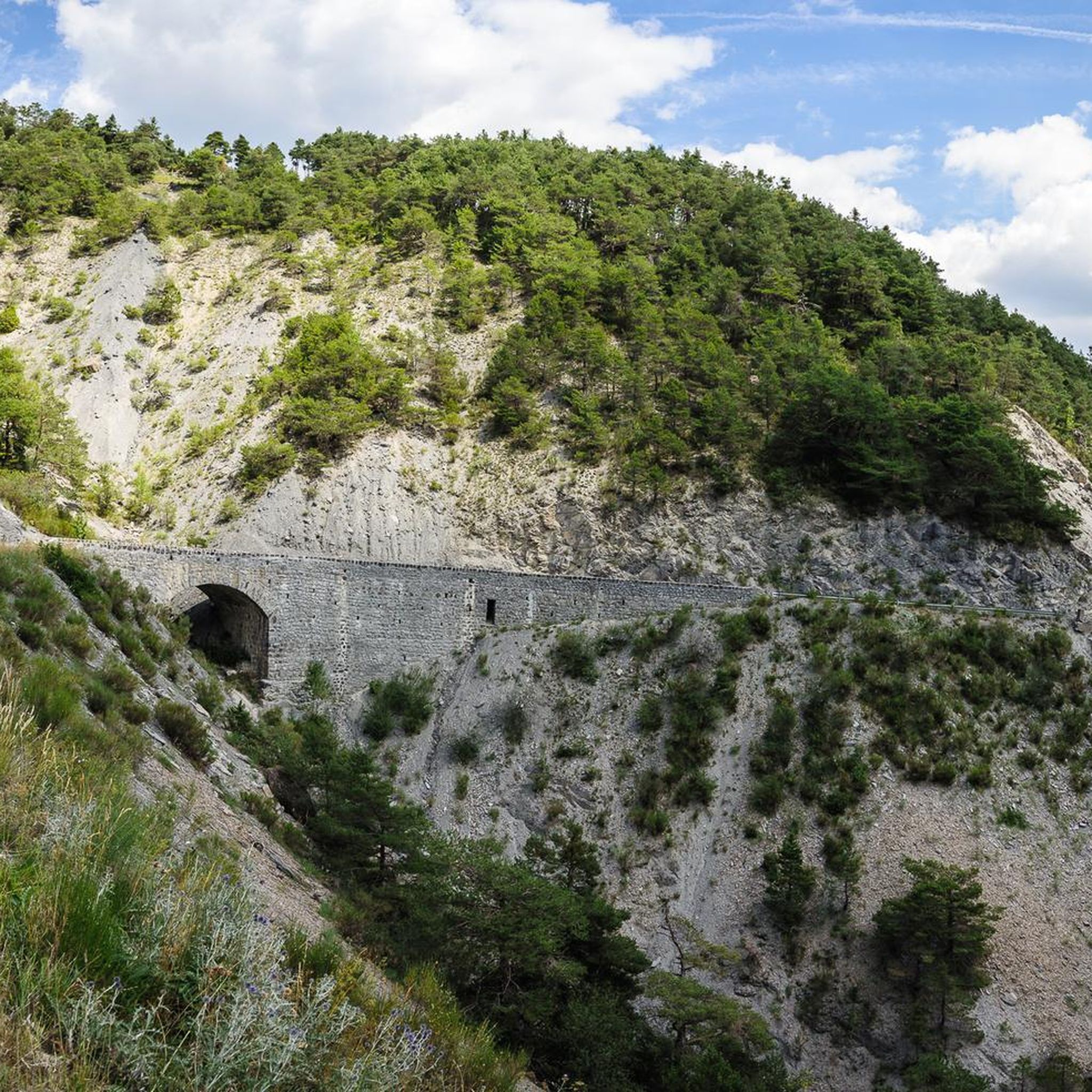
The Col du Fanget by Auzet is a climb in the Alpes de Haute Provence region. It has a length of 7.6 kilometers and an ascent of 381 vertical meters with an average slope of 5%. From Digne-les-Bains, it is a beautiful journey through a gorge with sometimes very narrow passes. The climb itself starts very gently, but ends very hard.
0
0

You can see very far. Super beautiful!
0
0
Great to do this col, outliers to max 14% are tough.
0
0
Frequently Asked Questions
How many hiking trails are available around Saint-Martin-Lès-Seyne?
There are over 70 hiking trails around Saint-Martin-Lès-Seyne, offering a variety of options for different skill levels. This includes 23 easy routes, 42 moderate routes, and 13 more challenging trails.
Are there any easy, short hikes suitable for beginners or a quick outing?
Yes, Saint-Martin-Lès-Seyne offers several easy and short routes. For example, the La Grosse Pierre trail is an easy 5.7 km (3.5 miles) path that takes about 1 hour 30 minutes to complete, featuring varied terrain with gentle elevation changes.
What kind of natural attractions can I expect to see on hikes in the area?
The region around Saint-Martin-Lès-Seyne is known for its natural beauty, including impressive gorges and viewpoints. You can explore highlights such as the Gorges de la Blanche, the Gorges d'Auzet, and the scenic View of the Courbons. There's also Rolland's Leap, a notable waterfall.
Are there any circular hiking routes around Saint-Martin-Lès-Seyne?
Yes, many trails in the area are circular, allowing you to start and end at the same point. An example is the easy La Bréole loop from La Bréole, which is 4.9 km (3.0 miles) and offers views of the surrounding countryside and local villages.
What is the best time of year to go hiking in Saint-Martin-Lès-Seyne?
The best time for hiking in Saint-Martin-Lès-Seyne is generally from spring through autumn (April to October). During these months, the weather is typically mild and pleasant, with less chance of snow at lower elevations, making for ideal hiking conditions. Summer offers warmer temperatures, while spring and autumn provide vibrant foliage and fewer crowds.
Are there any hikes that offer panoramic viewpoints?
Absolutely. The region's varied terrain, including mountain foothills, provides several opportunities for scenic viewpoints. The View of Lake Serre-Ponçon – Clot la Cime loop from L'Eygave is a moderate 7.1 km (4.4 miles) route that offers stunning vistas, including views of the famous Lake Serre-Ponçon.
What do other hikers say about the trails in Saint-Martin-Lès-Seyne?
The hiking trails around Saint-Martin-Lès-Seyne are highly regarded by the komoot community, with an average rating of 4.3 stars from over 370 reviews. Hikers often praise the diverse landscapes, well-maintained paths, and the peaceful atmosphere of the forested areas and rolling hills.
Are there any moderate hikes for those looking for a bit more challenge?
Yes, there are 42 moderate routes available. For a slightly longer and more challenging experience, consider the Fort Joubert – Col Saint Jean (1332 m) loop from Montclar. This 10.8 km (6.7 miles) route takes approximately 2 hours 55 minutes and features more significant elevation changes.
What kind of terrain can I expect on the hiking trails?
The terrain around Saint-Martin-Lès-Seyne is quite varied. You'll find a mix of rolling hills, dense forested areas, and paths through mountain foothills. Many trails feature moderate elevation changes, making them accessible while still offering a good workout and diverse scenery.
Are there any trails that pass through local villages or offer cultural insights?
Many routes in the region traverse the countryside and pass by or through charming local villages. The Col Saint Jean (1332 m) – The Seyne Valley loop from Montclar, for instance, leads through mountain foothills and offers glimpses into the local rural landscape and communities.
Is Saint-Martin-Lès-Seyne a good destination for hikers who prefer less crowded trails?
While popular, the region offers a good number of trails, allowing for a more serene experience, especially outside of peak tourist times. With over 70 routes, it's often possible to find quieter paths that allow you to enjoy the natural surroundings in peace.
Most popular routes around Saint-Martin-Lès-Seyne
Most popular attractions around Saint-Martin-Lès-Seyne

Get inspired with the komoot mobile app


Explore more
Browse the best Hikes in other regions.
