The best MTB trails in the Central Mexican Plateau
4.9
(55)
498
riders
51
rides
Mountain biking in the Central Mexican Plateau features diverse landscapes, from volcanic peaks and high-altitude trails to dense oyamel and pine forests. The region is characterized by varied terrain, including expansive plains, rolling hills, and rugged mountains, providing a range of experiences. This environment offers established networks that cater to different skill levels, making it a compelling destination for outdoor activities.
Best mountain bike trails in the Central Mexican Plateau
- The most popular mountain bike trail is Small wooden bridge…
Last updated: July 8, 2026
8
riders
14.6km
01:21
210m
200m
Mountain bike the Lazy Cow and Mad Cow Trails Loop for an easy 9.1 miles (14.6 km) adventure, gaining 677 feet (206 metres) in about 1 hour and 20 minutes.…
1
riders
20.3km
01:31
20m
190m
The Old Maverick OHV Route offers an easy mountain biking experience through classic Big Bend desert terrain. You will ride 12.6 miles (20.3 km) with a gentle elevation gain of…

Sign up for free
5.0
(4)
34
riders
23.5km
02:01
220m
220m
Moderate mountain bike ride. Good fitness required. Suitable for all skill levels.
5.0
(17)
28
riders
49.0km
03:44
340m
340m
Moderate mountain bike ride. Good fitness required. Suitable for all skill levels.
5.0
(3)
30
riders
87.7km
07:31
1,030m
1,030m
The Benito Juárez Monument – Sierra de Juárez loop from El Paso is a formidable mountain biking adventure, taking you deep into the rugged desert landscapes that define the border…
22
riders
28.1km
02:34
390m
390m
Moderate mountain bike ride. Good fitness required. Suitable for all skill levels.
5.0
(2)
17
riders
12.0km
01:03
150m
150m
Easy mountain bike ride. Great for any fitness level. Suitable for all skill levels.
18
riders
19.7km
01:48
310m
310m
Moderate mountain bike ride. Good fitness required. Suitable for all skill levels.
17
riders
59.0km
05:55
1,270m
1,280m
Hard mountain bike ride. Very good fitness required. Suitable for all skill levels.
5.0
(1)
14
riders
Easy mountain bike ride. Great for any fitness level. Suitable for all skill levels.
Get access to more routes and recommendations from other explorers.
Sign up for free
Already have an account?
Our route recommendations are based on thousands of hikes, rides, and runs completed by other people on komoot.
Start today with a free account
Your next adventure awaits.
Login or Signup

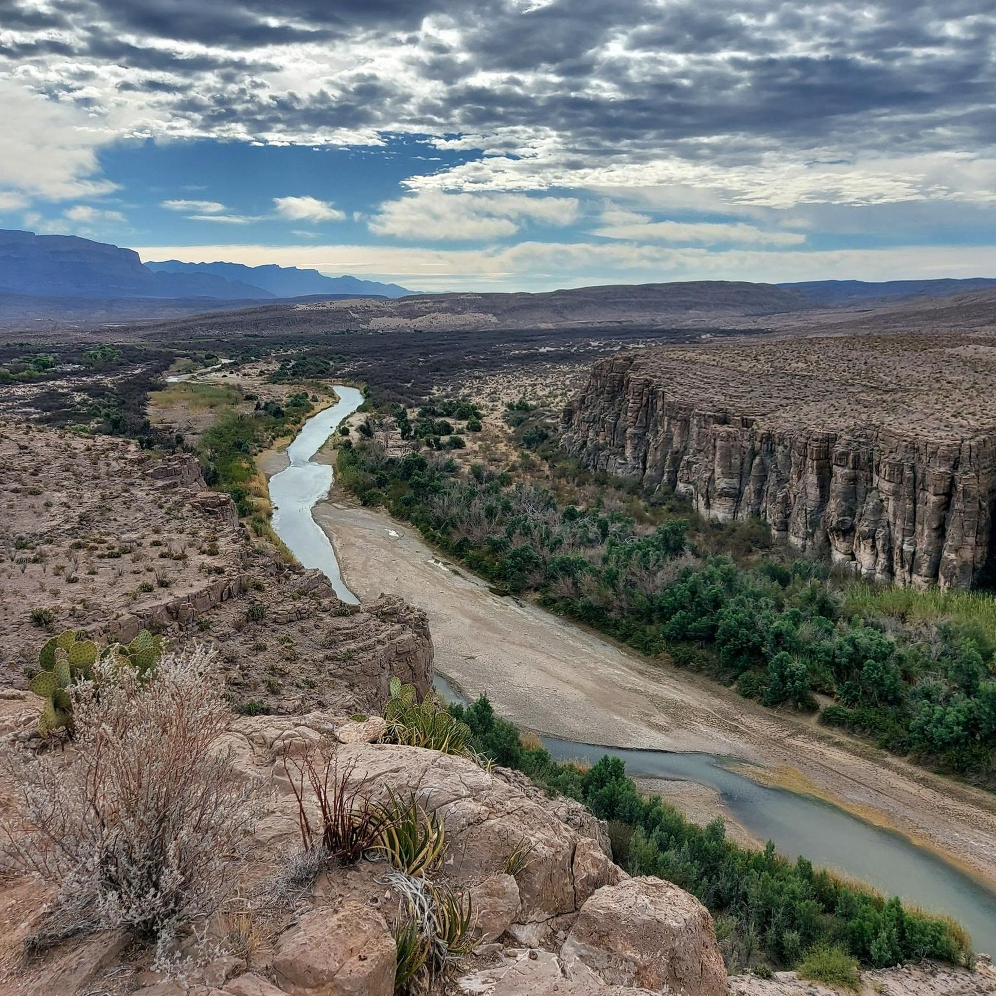
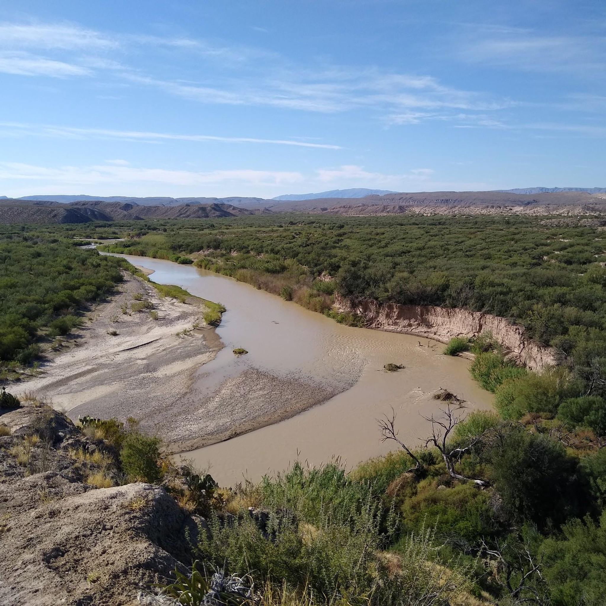
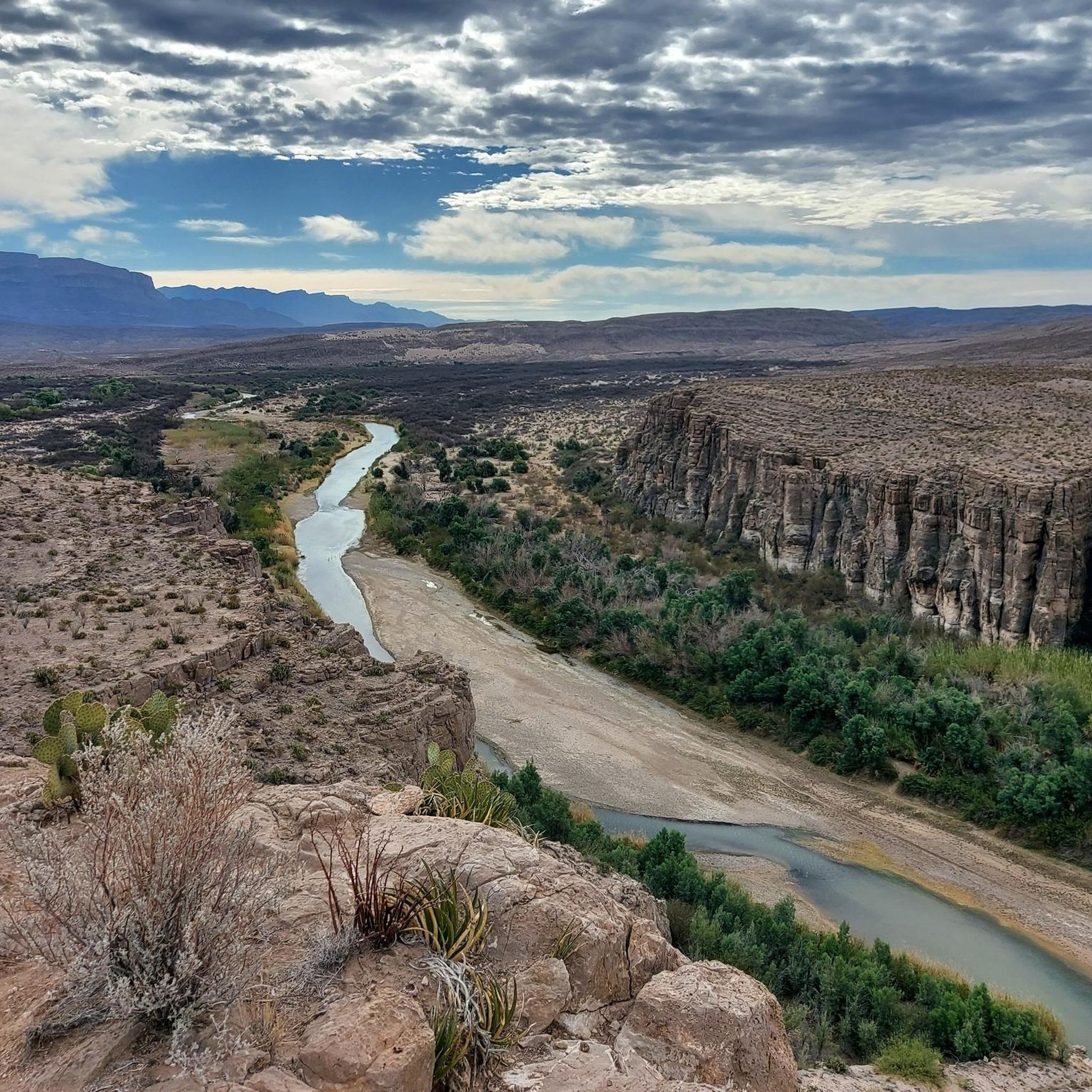
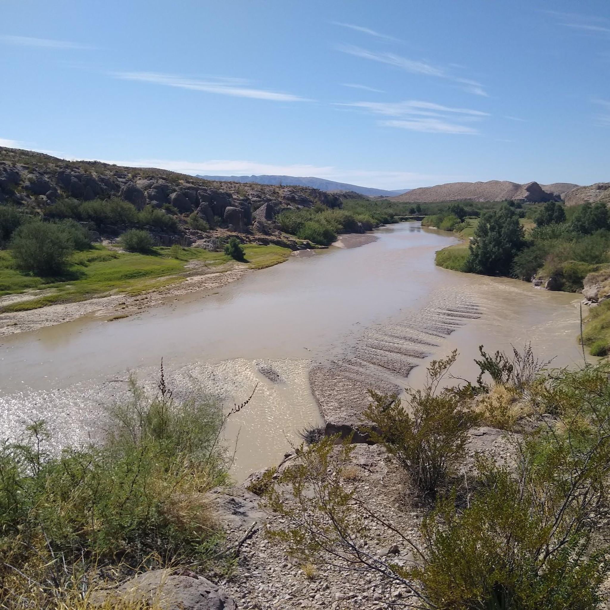
Other adventures in the Central Mexican Plateau

Tips from the Community


In the park named after the former president of Mexico, known as the Father of the Americas, you can find this monument in his honor, which was inaugurated in 1910 shortly before the start of the revolution.
1
0
If you look carefully from this point at the rocky elevation to the east, you'll be able to see the entrance to the well-known Cueva Roja (Red Cave in Spanish). The cave gets its name from the red clay mineral inside, which you can notice even as you approach. However, if you want to climb up to see the entrance, you'll need to do it dismounted from the bike.
1
0
Cyclist friends who never lack water
1
0

This turn off takes you on the actual Cardiac Hill Trail. It's a fun place to get in a quick workout with a decent amount of vert. There is some loose gravel on a lot of the trail, so I don't know how hard I would send the downhills. The lower trail on the way back sees less traffic than the upper double-track trail.
0
0
Lazy Cow Trail is one of the easiest trails in the park and can be a crowded trail in the busy season. It's a great trail for running because of how smooth and gradual it is. It wouldn't be a bad place to do some strides at the end of a run.
0
0

At this point, you can choose to continue on to the Mad Cow trail, which loops back to the trailhead for a total of 7 miles round-trip. Alternatively, you can trek back the way you came, enjoying the scenic views of the Franklin Mountains to the west.
0
0
Frequently Asked Questions
How many mountain bike trails are available in the Central Mexican Plateau?
The Central Mexican Plateau offers a wide variety of mountain biking experiences, with over 50 routes documented on komoot. These trails cater to different skill levels, from easy paths to challenging high-altitude routes.
What is the best time of year for mountain biking in the Central Mexican Plateau?
The Central Mexican Plateau generally offers favorable conditions for mountain biking for much of the year. However, the dry season, typically from November to May, is often preferred for clearer trails and more stable weather, especially when exploring higher altitudes like Nevado de Toluca or Ajusco. During the rainy season (June to October), trails can become muddy, but the lush greenery is also a draw.
Are there any easy mountain bike trails suitable for beginners in the Central Mexican Plateau?
Yes, the region has a good selection of easy trails. For instance, the Mad Cow Trail – Mad Cow Trail loop from Chuck Heinrich Park is an easy 13.2-mile (21.3 km) route. Overall, about half of the trails in the Central Mexican Plateau are rated as easy, providing accessible options for those new to mountain biking or looking for a relaxed ride.
What kind of scenic views can I expect on mountain bike trails in the Central Mexican Plateau?
Mountain biking in the Central Mexican Plateau offers breathtaking scenic views, ranging from panoramic vistas of volcanic peaks to dense forest landscapes. Trails around Nevado de Toluca provide stunning views of crater lakes, while routes on Ajusco offer glimpses of Mexico City. You can also find trails through unique oyamel forests in areas like El Chico National Park. For specific viewpoints, consider exploring highlights like Views along South Rim or The Window Pour-off Viewpoint.
Are there any challenging mountain bike routes with significant elevation gain?
Absolutely. The Central Mexican Plateau is known for its volcanic terrain and high altitudes, offering challenging routes. For example, the Scenic Road Trail – Mundy's Gap Trail loop from Northwestern/Hoover is a difficult 35-mile (56.3 km) route with over 4,300 feet (1,300 meters) of elevation gain. Similarly, the Small wooden bridge – Mad Cow Trail loop from Chuck Heinrich Park is another difficult option, covering nearly 37 miles (60 km) with significant climbs.
Are there any circular mountain bike routes in the Central Mexican Plateau?
Yes, many mountain bike trails in the Central Mexican Plateau are designed as loops, allowing you to start and finish at the same point. Examples include the popular Small wooden bridge – Mad Cow Trail loop from Angel's Triangle and the Small wooden bridge – Lazy Cow Trail loop from Chuck Heinrich Park. These circular routes offer varied terrain and scenic rides without the need for shuttle services.
What do other mountain bikers enjoy most about the Central Mexican Plateau?
The mountain biking community highly rates the Central Mexican Plateau, with an average score of 4.9 stars from over 50 reviews on komoot. Riders frequently praise the diverse landscapes, from volcanic peaks to dense forests, and the varied terrain that caters to different skill levels. The region's unique blend of natural beauty and cultural exploration, such as trails near Teotihuacan, is also a highlight for many.
Are there any national parks or protected areas where mountain biking is popular?
Yes, several national parks and protected areas in the Central Mexican Plateau are popular for mountain biking. These include El Chico National Park, known for its oyamel forests, Desierto de los Leones National Park with its extensive trail network, and Bosencheve National Park, featuring fir and pine forests alongside scenic lakes. Always check local regulations for specific trail access and any required permits within these protected areas.
Are there any historical or cultural sites accessible by mountain bike in the region?
The Central Mexican Plateau offers unique opportunities to combine mountain biking with cultural exploration. For instance, the Atotonilco Circuit near San Miguel de Allende allows riders to experience nature alongside historical monuments. Additionally, dirt tracks in the Teotihuacan Valley provide a chance to pedal among ancient pyramids, offering a truly historical ride.
What kind of natural attractions can I find along the mountain bike trails?
Beyond the trails themselves, the Central Mexican Plateau boasts a variety of natural attractions. You can encounter impressive geological formations like Balanced Rock, explore deep canyons such as Santa Elena Canyon, and discover various peaks including Emory Peak and Mount Cristo Rey. Many trails also lead through lush forests and offer views of significant natural landmarks.
Is public transport available to reach mountain biking trailheads in the Central Mexican Plateau?
While specific public transport options vary by trailhead, major cities within the Central Mexican Plateau, such as Mexico City, Toluca, and Oaxaca, have bus services that can get you close to some trail access points. For more remote areas or national parks like Nevado de Toluca or El Chico, it's often more practical to use a car or arrange private transport. Always research specific routes for the most up-to-date transport information.
Are there specific parking facilities at mountain bike trailheads?
Parking availability at trailheads in the Central Mexican Plateau varies. Popular areas and national parks often have designated parking lots, sometimes with a fee. For example, trailheads near urban centers or within established parks like Desierto de los Leones typically offer more structured parking. In more rural or less developed areas, you might find informal roadside parking. It's advisable to check route details or local park information for specific parking arrangements before your ride.
Most popular routes in the Central Mexican Plateau
Most popular attractions in the Central Mexican Plateau

Get inspired with the komoot mobile app


Explore more
Browse the best MTB trails in other regions.
