The best walks and hikes around Sarrance
4.5
(815)
7,260
hikers
181
hikes
Hiking trails around Sarrance are situated in the heart of the Aspe Valley within the French Pyrénées, offering a diverse landscape for outdoor activities. The region is characterized by accessible mountain passes, impressive peaks, and the scenic valley floor of the Gave d'Aspe river. Hikers can explore rugged mountainous terrain, dramatic rock formations, and varied vegetation typical of the Pyrenees.
Best hiking trails around Sarrance
- The most popular hiking route is Marie-Blanque Pass – Escurets Peak loop from Col de…
Last updated: May 12, 2026
4.8
(30)
264
hikers
5.84km
02:10
380m
380m
Moderate hike. Good fitness required. Easily-accessible paths. Suitable for all skill levels.
4.3
(4)
45
hikers
8.56km
04:18
720m
720m
Hard hike. Good fitness required. Sure-footedness, sturdy shoes and alpine experience required.

Sign up for free
4.5
(4)
37
hikers
8.60km
03:06
490m
490m
Hard hike. Good fitness required. Sure-footedness, sturdy shoes and alpine experience required.
4.2
(9)
29
hikers
3.36km
01:04
140m
130m
Easy hike. Great for any fitness level. Easily-accessible paths. Suitable for all skill levels.
27
hikers
10.1km
03:12
400m
400m
Moderate hike. Good fitness required. Easily-accessible paths. Suitable for all skill levels.
Get access to more routes and recommendations from other explorers.
Sign up for free
Already have an account?
Our route recommendations are based on thousands of hikes, rides, and runs completed by other people on komoot.
Start today with a free account
Your next adventure awaits.
Login or Signup
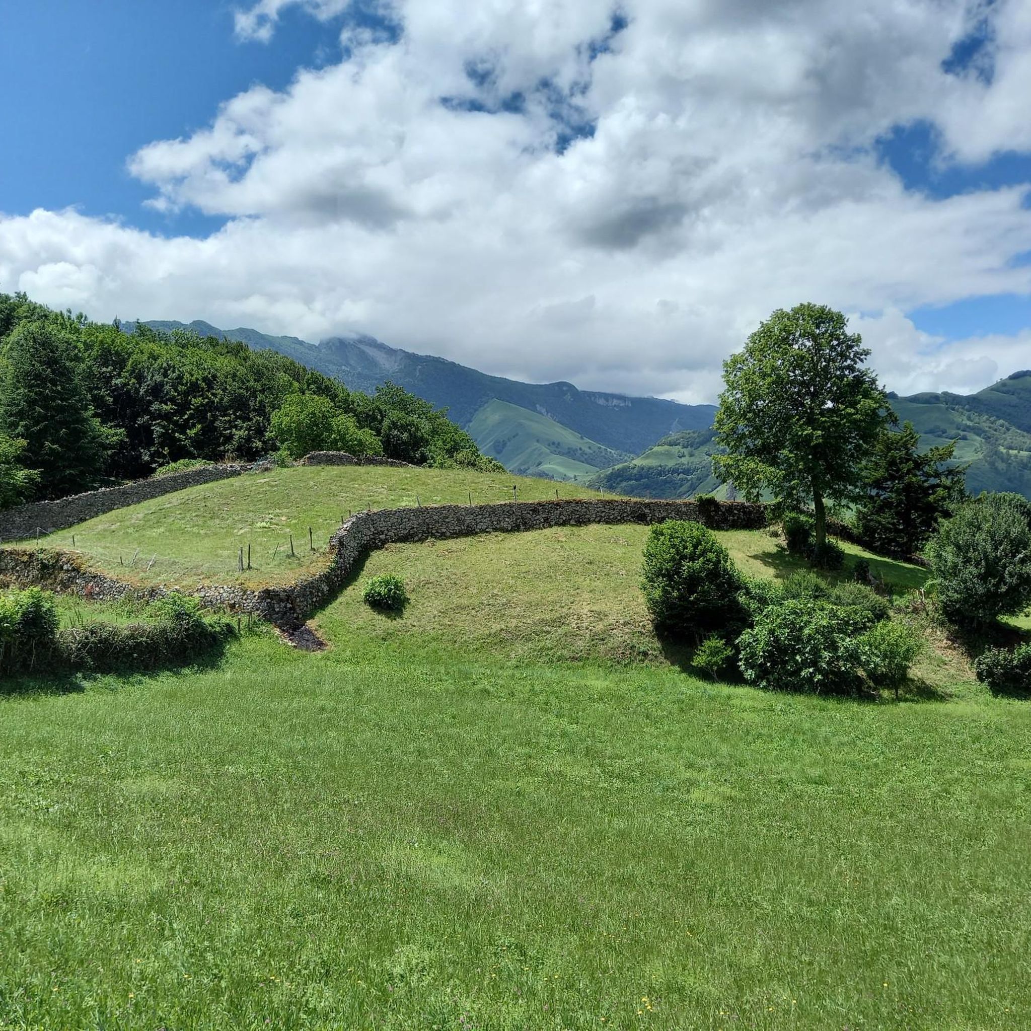
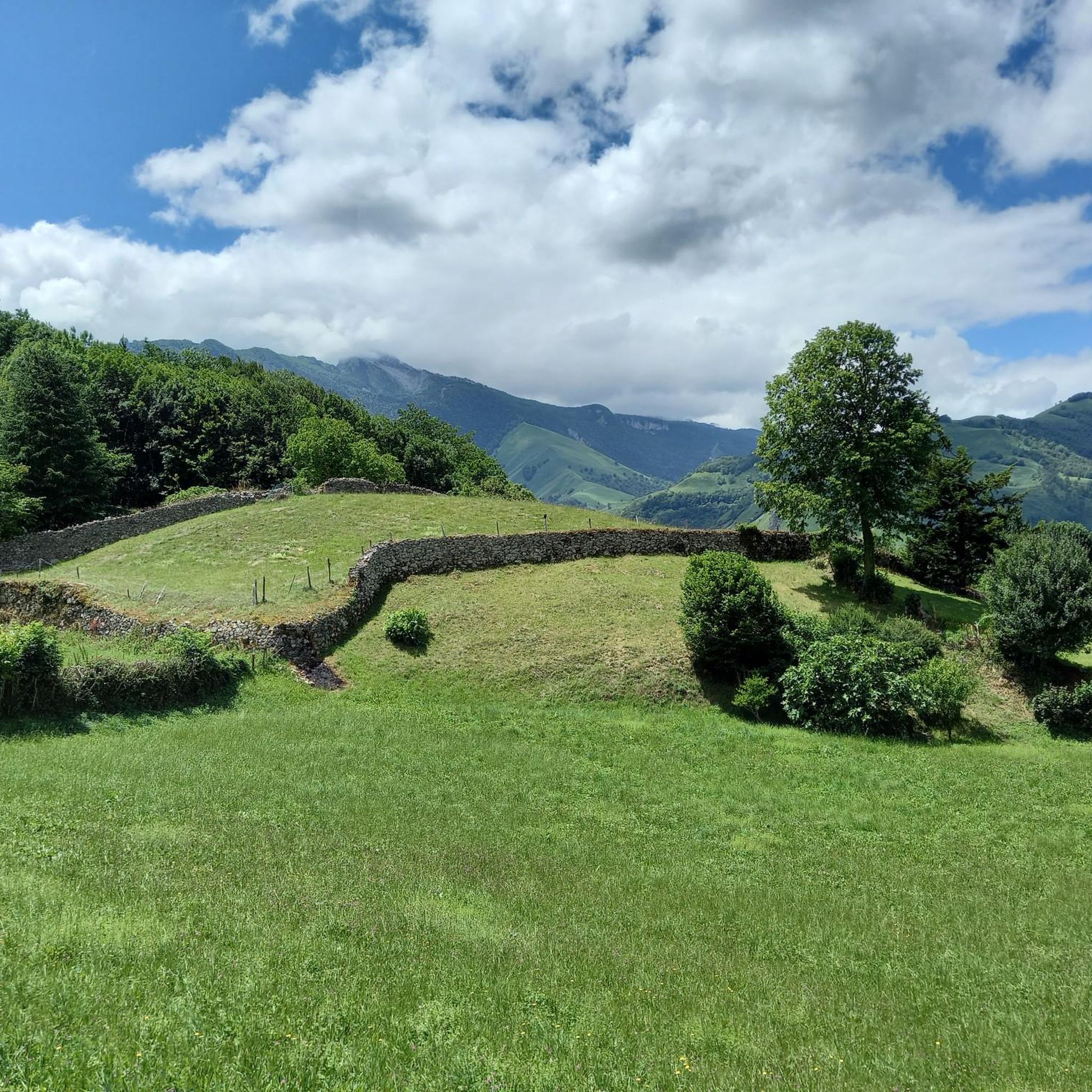
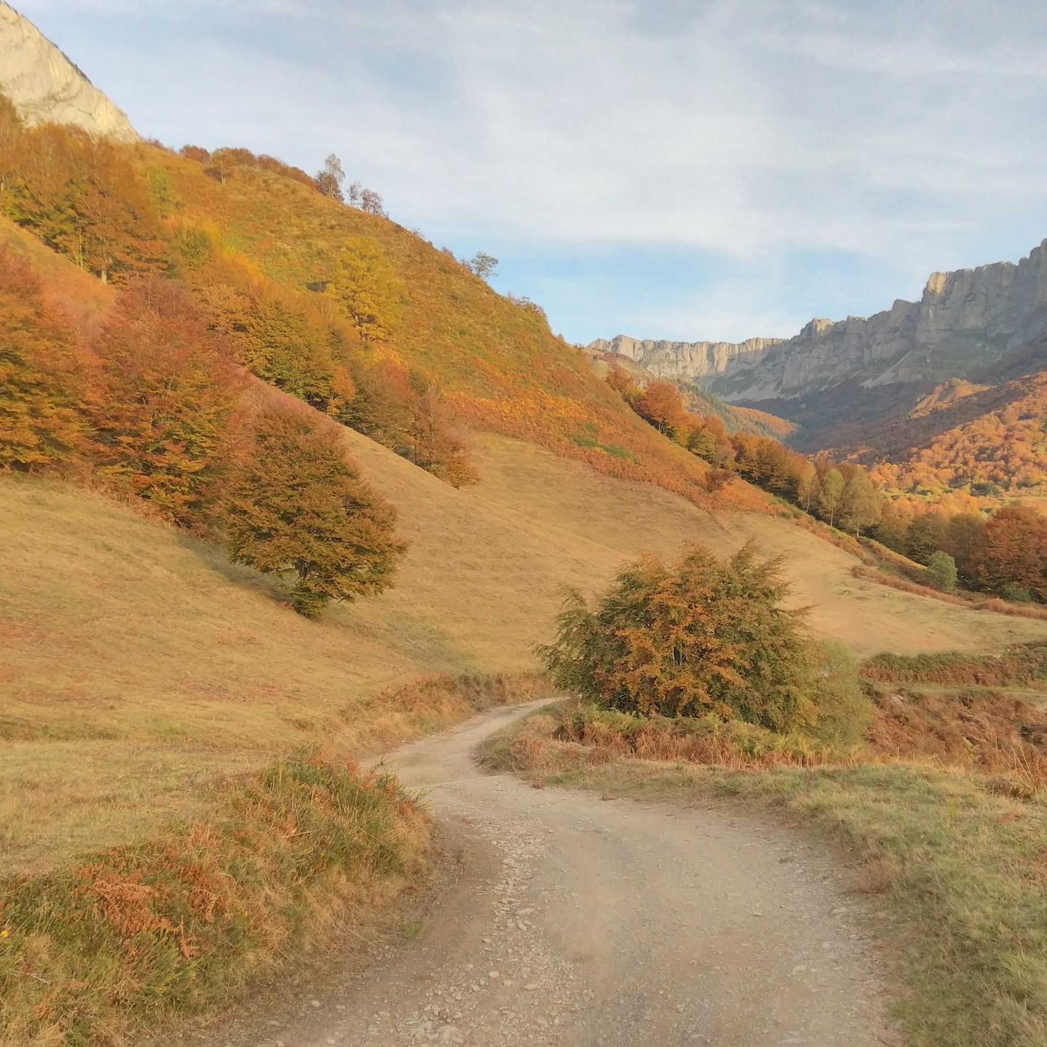
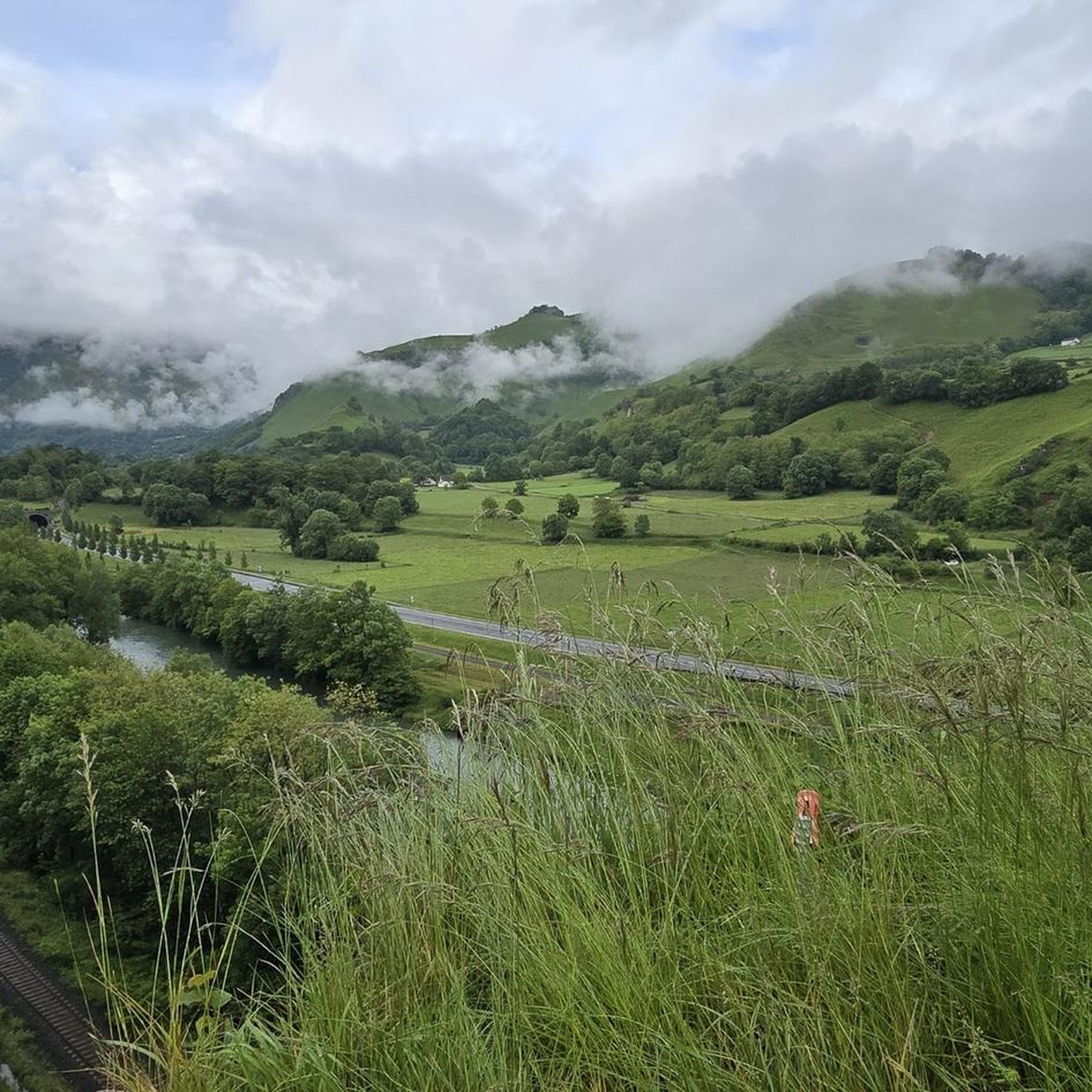
Tips from the Community


The peak of Escurets at 1440 meters, easy hike for everyone with a fantastic panorama
0
0
Nice little walk without any major difficulty, and a view at the top that everyone will agree on!!!
0
1

Magnificent 360° view over the Pau plain, the entrance to the Ossau valley.
0
0

The Col de Marie-Blanque is an emblematic passage of the Tour de France which peaks at 1,035 meters above sea level. Its ascent from Louvie-Juzon is 15 kilometers long for an average of 4.1% with passages at 8.5%. Marie-Blanque marks the border between the beautiful valleys of Ossau and Aspe. In the middle of the climb, the pretty Bénou plateau offers a portion of respite in a remarkable setting.
1
0
The Marie-Blanque pass is an emblematic passage of the Tour de France which culminates at 1,035 meters above sea level. Its ascent from Louvie-Juzon is 15 kilometers long for an average of 4.1% with passages at 8.5%. Marie-Blanque marks the border between the beautiful valleys of Ossau and Aspe. In the middle of the climb, the pretty Bénou plateau offers a portion of respite in a remarkable setting.
0
0
Nice well marked climb, snow above the pass. Beautiful view of the Bearn plain
1
0
Frequently Asked Questions
What types of hiking trails are available in Sarrance?
Sarrance, nestled in the Aspe Valley, offers a wide variety of hiking trails catering to all levels. You'll find everything from leisurely strolls along the Gave d'Aspe river to demanding alpine treks with significant elevation changes. The region features accessible mountain passes, impressive peaks, and scenic valley paths. Overall, there are over 180 routes, with 42 easy, 81 moderate, and 57 difficult options.
Are there any easy, family-friendly hikes around Sarrance?
Yes, Sarrance offers several easy trails suitable for families. A great option is the Fronton Square – Chéchit Baths (ruins) loop from Aydius. This 3.4 km (2.1 miles) trail leads through the valley and can typically be completed in just over an hour, offering a gentle introduction to the area's beauty.
Can I find circular hiking routes in the Sarrance area?
Many of the trails around Sarrance are designed as circular routes, allowing you to start and end at the same point. For a moderate challenge, consider the Flowering spot loop from Escot, which covers about 10 km (6.2 miles) with around 400 meters of elevation gain. This route offers a good balance of distance and ascent.
What kind of natural landmarks or viewpoints can I discover while hiking?
The Sarrance region is rich in natural landmarks and offers breathtaking viewpoints. You can hike to spots like Escurets Peak or Casteigts Peak for panoramic vistas. The Pic de Soum de Bergout is also known for its incredible views. Additionally, the Bénou Plateau offers expansive natural beauty.
Are there any waterfalls or gorges to explore near Sarrance?
Yes, the region around Sarrance features impressive water-carved landscapes. You can visit Seris Waterfall for a beautiful natural spectacle. For dramatic rock formations, the Gorges de Lourdios are accessible, and the nearby Gorges d'Ehujarre and Gorges de Kakouetta are also notable natural wonders.
What is the best time of year to go hiking in Sarrance?
The best time to hike in Sarrance generally depends on the altitude and your preferred conditions. Spring and autumn offer pleasant temperatures and vibrant scenery, ideal for most trails. Summer is excellent for higher-altitude treks, though some lower valley paths might be warmer. Winter can be challenging, with snow and ice at higher elevations, but offers unique opportunities for snowshoeing or specific winter hikes.
Are there any challenging hikes for experienced trekkers?
Absolutely. For experienced hikers seeking a challenge, Sarrance provides demanding alpine treks. The Souturou Peak loop from Col de Boucoig is a difficult 8.5 km (5.3 miles) route with significant elevation gain, offering a rewarding experience for those in good physical condition. These trails often feature rugged mountainous terrain and impressive ascents.
What do other hikers say about the trails in Sarrance?
The hiking trails in Sarrance are highly regarded by the komoot community, boasting an average rating of 4.5 stars from over 780 reviews. Hikers frequently praise the diverse landscapes, from the serene valley paths to the challenging mountain ascents, and the stunning panoramic views from the peaks.
Is Sarrance part of any long-distance or pilgrimage routes?
Yes, Sarrance holds historical significance as a stop on the Via Tolosana, also known as the 'chemin d'Arles.' This is one of the four major French pilgrimage routes leading to Santiago de Compostela. Hiking a section of this route offers a unique experience, blending natural beauty with historical and spiritual context.
What kind of terrain can I expect on the trails around Sarrance?
The terrain around Sarrance is incredibly varied, reflecting its Pyrenean setting. You can expect everything from well-maintained paths along the valley floor to rocky, uneven trails on mountain ascents. Higher routes often involve steep climbs and descents, while lower trails might traverse forests, meadows, and riverside paths. Always check the specific trail details for an accurate understanding of the terrain.
Are there any lakes to visit while hiking in the Sarrance area?
Yes, the region offers beautiful natural lakes that can be incorporated into your hiking plans. A notable example is Montagnon Lake, which is a popular destination for hikers seeking serene waters amidst the mountain scenery. These lakes often provide picturesque spots for a break or picnic.
Is public transport available to reach trailheads in Sarrance?
While specific public transport options directly to every trailhead might be limited, Sarrance is situated in the Aspe Valley, which has some regional bus services. It's advisable to check local transport schedules for connections from larger towns to Sarrance or nearby villages, which may serve as starting points for various hikes. Many routes, especially those starting from mountain passes, are more easily accessed by car.
Most popular attractions around Sarrance

Get inspired with the komoot mobile app


Explore more
Browse the best Hikes in other regions.
