The best mountain hikes around Schangnau
4.6
(30)
164
hikers
20
hikes
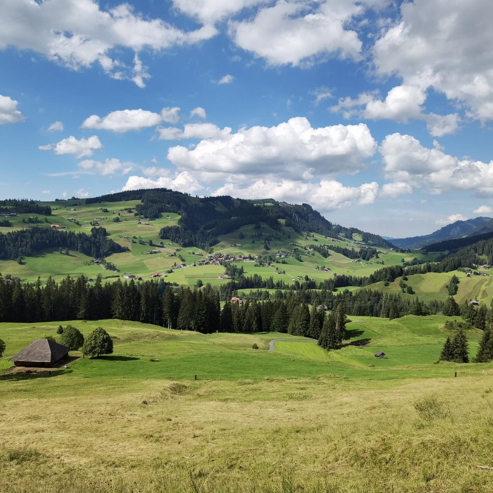
Mountaineering routes around Schangnau are situated in the pre-Alpine landscape of the uppermost Emmental region, where rolling hills transition into striking mountain ranges. The area features prominent massifs like Hohgant, reaching over 2,100 meters, and the Schrattenfluh, known for its extensive karst landscape and deeply eroded limestone formations. This terrain offers a diverse range of natural features for challenging mountain experiences.
Best mountaineering routes around Schangnau
- The most popular mountaineering route is Augstmatthorn – View from Suggiture loop from Augstmatthorn…
Last updated: May 25, 2026
4.5
(4)
42
hikers
6.46km
03:07
530m
530m
Hard mountaineering route. Good fitness required. Sure-footedness, sturdy shoes and alpine experience required.
4.7
(3)
23
hikers
14.9km
05:31
790m
790m
Hard mountaineering route. Very good fitness required. Mostly accessible paths. Sure-footedness required.

Sign up for free
5.0
(4)
11
hikers
12.6km
05:53
880m
880m
Hard mountaineering route. Very good fitness required. Sure-footedness, sturdy shoes and alpine experience required.
5.0
(3)
9
hikers
12.2km
05:16
780m
780m
Hard mountaineering route. Very good fitness required. Sure-footedness, sturdy shoes and alpine experience required.
5.0
(2)
6
hikers
9.34km
04:13
660m
660m
Moderate mountaineering route. Good fitness required. Mostly accessible paths. Sure-footedness required.
Get access to more routes and recommendations from other explorers.
Sign up for free
Already have an account?
Our route recommendations are based on thousands of hikes, rides, and runs completed by other people on komoot.
Start today with a free account
Your next adventure awaits.
Login or Signup

Other adventures around Schangnau

Tips from the Community

wonderful and very nice round
3
0
wonderful and very nice round
3
0
wonderful and very nice round
3
0
Frequently Asked Questions
How many mountaineering routes are available around Schangnau?
There are over 20 mountaineering routes around Schangnau, offering a diverse range of experiences in the pre-Alpine landscape. The majority of these routes are considered difficult, catering to experienced mountaineers.
What makes mountaineering in Schangnau unique?
Mountaineering in Schangnau is unique due to its dramatic transition from the rolling Emmental hills to striking pre-Alpine massifs like the Hohgant and the distinctive karst landscape of the Schrattenfluh. This region offers challenging alpine treks with phenomenal panoramic views and unique geological formations.
Are there any circular mountaineering routes in Schangnau?
Yes, several routes are designed as loops, allowing you to start and end at the same point. For instance, you can explore the unique karst formations on the Schrattenfluh – Hengst Summit loop from Salwideli, or experience varied mountain terrain on the Sichle Pass – Schibe Summit loop from Säge. Another option is the Augstmatthorn – View from Suggiture loop from Augstmatthorn, which offers stunning views across the Bernese Alps.
What is the best time of year for mountaineering in Schangnau?
The best time for mountaineering in Schangnau is generally from late spring to early autumn (May to October), when trails are clear of snow and weather conditions are more stable. However, the region also offers dedicated winter activities like cross-country skiing and snowshoeing, with some trails suitable for winter hiking, though alpine experience is crucial for higher elevations.
Are there any moderate or beginner-friendly mountaineering options?
While most routes are challenging, there are a few moderate options. For example, the Schrattenfluh – Hengst Summit loop from Wagliseichnubel is rated as moderate, offering a less strenuous way to experience the Schrattenfluh's unique landscape compared to its more difficult counterparts. It's important to note that even moderate routes in this pre-Alpine region can require good fitness and sure-footedness.
What kind of challenging mountaineering routes can I find in Schangnau?
Schangnau is known for its challenging routes, often requiring good fitness, sure-footedness, and alpine experience. Peaks like the Hohgant and Schrattenfluh offer demanding ascents. The East Ridge of Hohgant, for instance, presents technical climbing sections. The Trogenhorn loop from Säge is another difficult route with significant elevation gain, providing a true test of endurance.
What natural attractions can I see along the mountaineering routes?
The routes often lead past impressive natural features. You can encounter the unique karst landscape of the Schrattenfluh, with its deeply eroded limestone formations. Some routes offer views towards prominent summits like Augstmatthorn Summit, Burgfeldstand Summit, or even the Brienzer Rothorn Summit. The spectacular Räbloch gorge, a narrow chasm on the River Emme, is also a notable natural landmark in the area.
Are there any waterfalls near the mountaineering trails?
Yes, the region around Schangnau features beautiful natural monuments, including waterfalls. The impressive Giessbach Falls are located within reach and offer a stunning natural spectacle that can be combined with a mountaineering trip in the wider area.
Are there places to eat or stay overnight near the trails?
Yes, the area offers traditional inns and mountain lodges where you can refresh yourself or stay overnight. Notable options include the Kemmeriboden Bad Country Inn, the Rossweid Mountain Lodge, and the Salwideli Mountain Inn. These establishments provide a welcoming stop after a day of mountaineering.
How do other mountaineers rate the routes in Schangnau?
The mountaineering routes in Schangnau are highly rated by the komoot community, with an average score of 4.7 stars from over 30 reviews. Reviewers often praise the striking pre-Alpine landscapes, the challenging nature of the trails, and the unique geological features like the Schrattenfluh karst formations.
Is public transport available to access mountaineering trailheads in Schangnau?
Schangnau is situated in a region that, while pre-Alpine, is generally accessible. Public transport options, typically involving post buses, connect the main village of Schangnau to surrounding areas, which can serve as starting points for various trails. It's advisable to check local bus schedules for specific trailhead access.
What should I know about the difficulty of mountaineering in Schangnau?
Mountaineering in Schangnau is predominantly challenging, with 19 out of 21 routes rated as difficult. These trails often require very good fitness, sure-footedness, sturdy shoes, and alpine experience. The terrain can be rocky and uneven, with exposed sections, particularly on ridge traverses like those found on the Schrattenfluh. It's crucial to be well-prepared and aware of your limits.
Most popular routes around Schangnau
Most popular attractions around Schangnau

Get inspired with the komoot mobile app


Explore more
Browse the best Mountain Hikes & Routes in other regions.
