The best mountain hikes around Bastelica
4.9
(13)
64
hikers
8
hikes
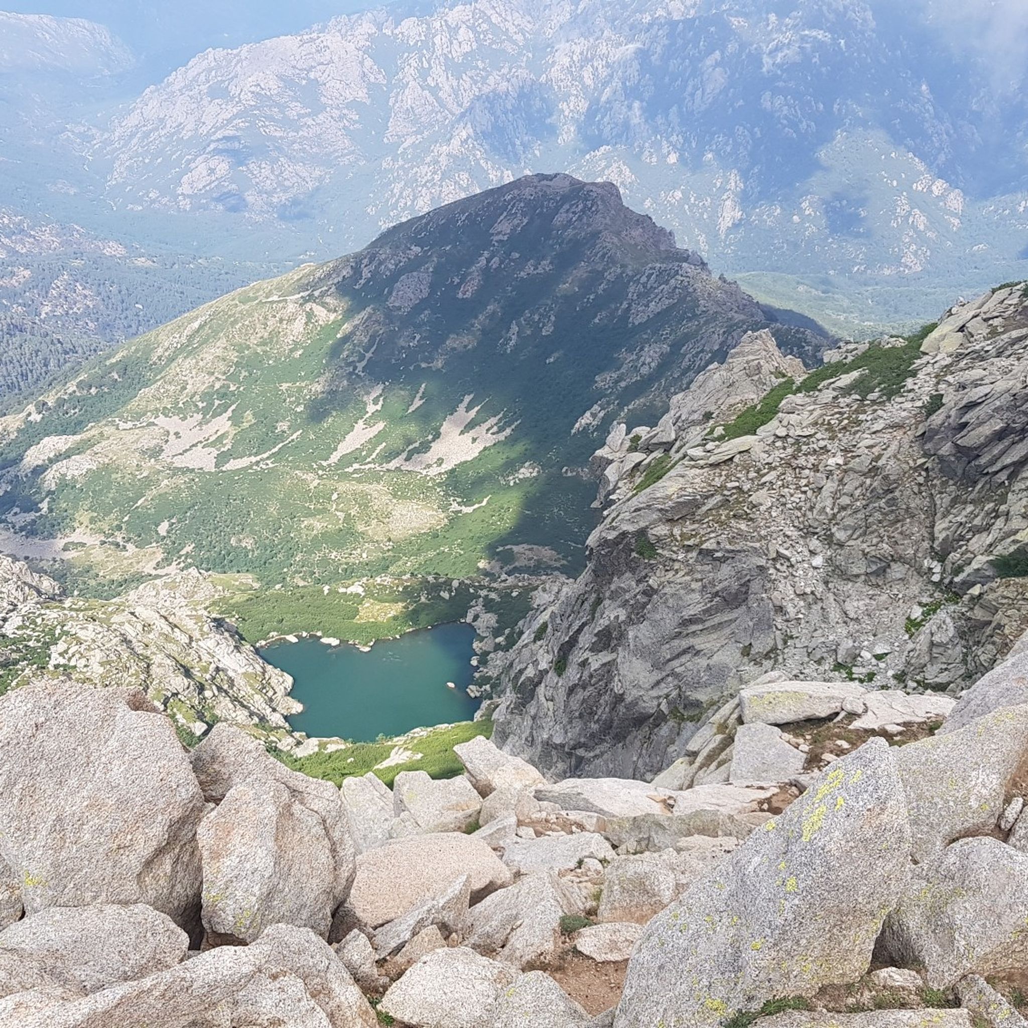
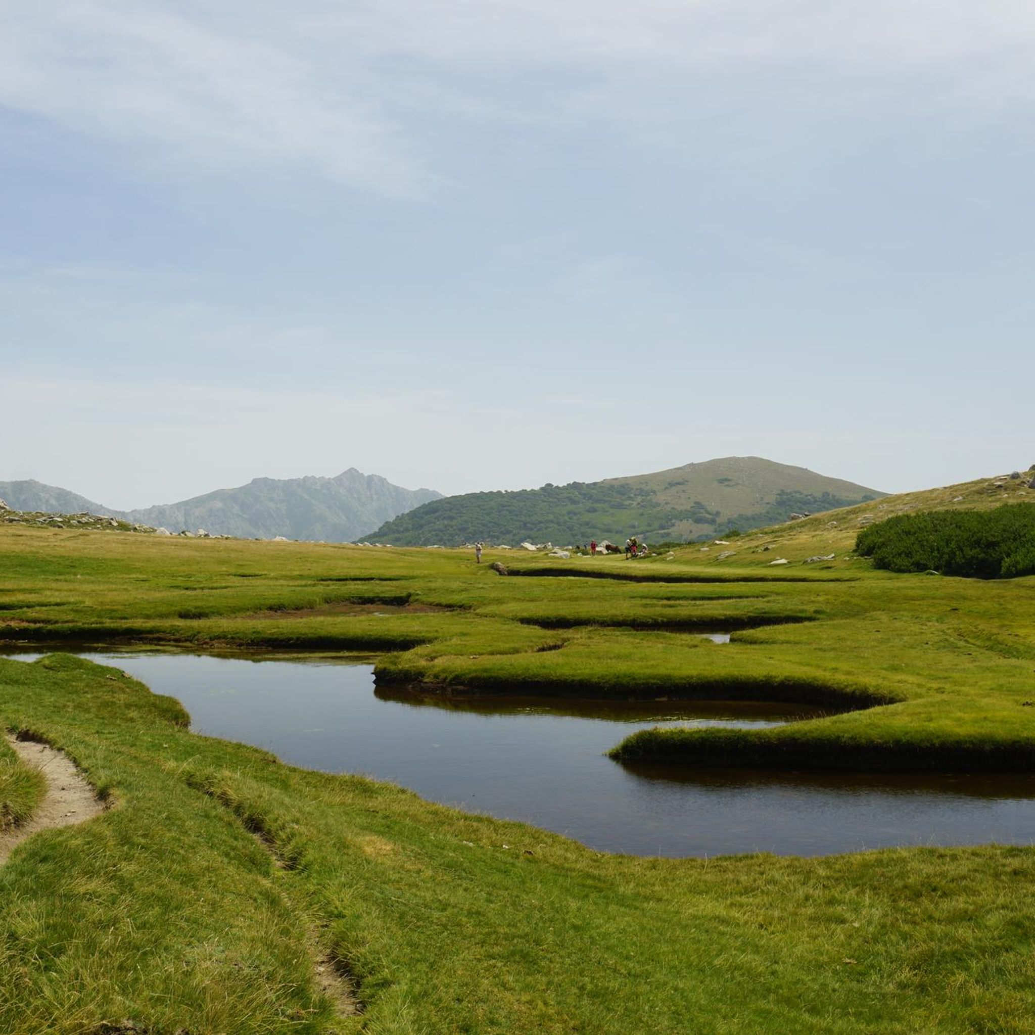
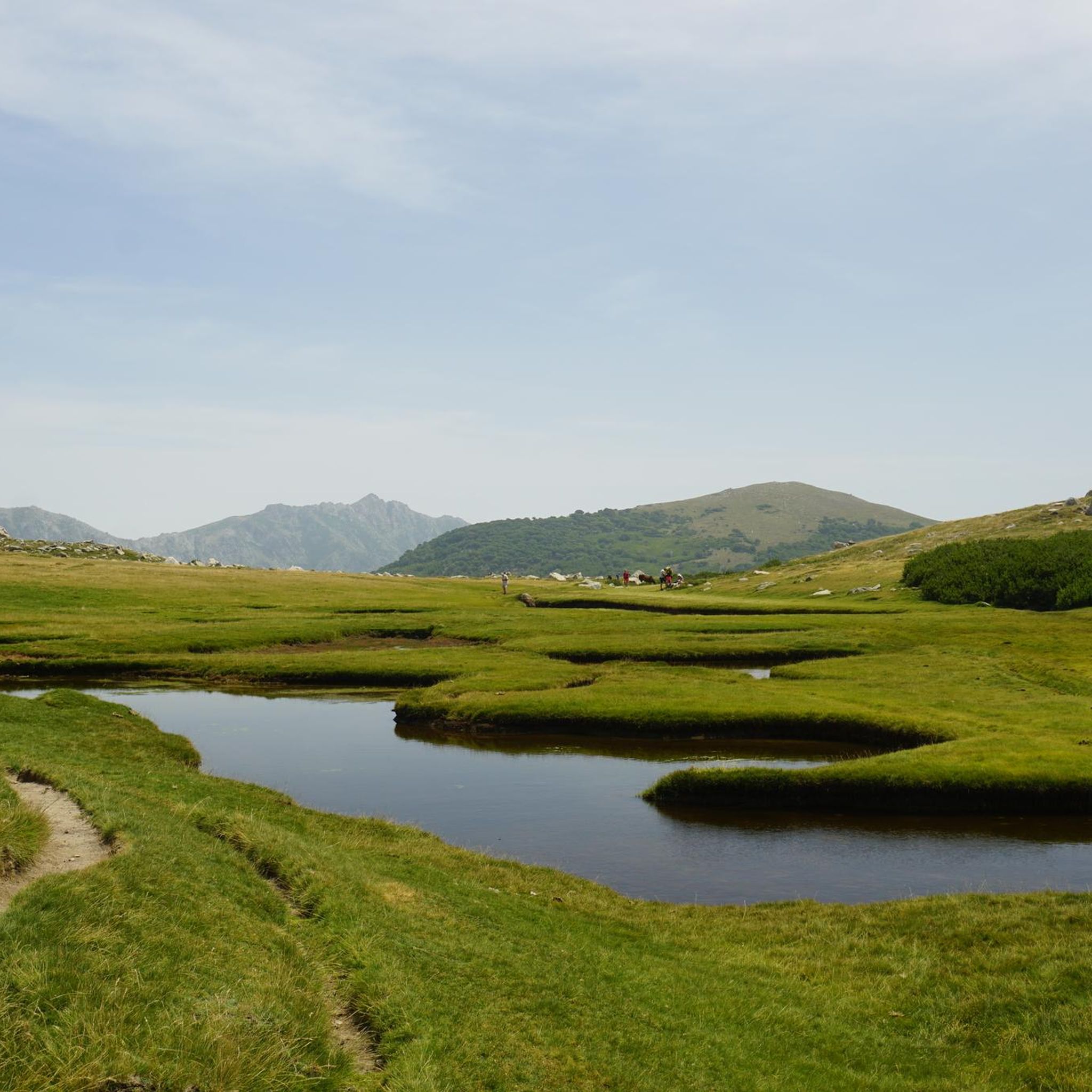
Mountaineering around Bastelica offers access to a diverse and rugged landscape in the heart of Corsica's mountains, situated at an elevation of 850m in the Prunelli valley. The region is characterized by majestic peaks like Monte Renoso and Monte Formicula, high mountain pastures, and unique "Pozzines" – green meadows dotted with small lakes. Numerous natural water features, including Lac de Bastani and various waterfalls, further define the terrain. This area provides a gateway to varied mountaineering routes, from challenging ascents…
Last updated: May 16, 2026
5.0
(2)
18
hikers
16.4km
08:49
1,390m
1,390m
Hard mountaineering route. Very good fitness required. Sure-footedness, sturdy shoes and alpine experience required.
4.5
(4)
17
hikers
6.88km
02:08
230m
230m
Moderate mountaineering route. Good fitness required. Mostly accessible paths. Sure-footedness required.

Sign up for free
5.0
(1)
7
hikers
9.74km
04:31
620m
620m
Moderate mountaineering route. Good fitness required. Mostly accessible paths. Sure-footedness required.
5.0
(2)
11
hikers
Hard mountaineering route. Good fitness required. Sure-footedness, sturdy shoes and alpine experience required.
5.0
(1)
4
hikers
3.82km
01:15
120m
120m
Moderate mountaineering route. Great for any fitness level. Mostly accessible paths. Sure-footedness required.
Get access to more routes and recommendations from other explorers.
Sign up for free
Already have an account?
Our route recommendations are based on thousands of hikes, rides, and runs completed by other people on komoot.
Start today with a free account
Your next adventure awaits.
Login or Signup
Tips from the Community

wonderfully beautiful here, simply magical
0
0
wonderfully beautiful here, simply magical
3
0
wonderfully beautiful here, simply magical
3
0

The cheese tastes super delicious here 😋 If you ask nicely, you can get a private tour of the cheese dairy. There is a drinking water source. Since it was already late, we were allowed to pitch our tents nearby, sheltered from the wind (see photo of tent in the cave)
0
0


Bring your swimming gear. There is a deep pool in front of the waterfall.
0
0
Frequently Asked Questions
How many mountaineering routes are available around Bastelica?
There are nearly 10 distinct mountaineering routes around Bastelica documented on komoot, offering a range of experiences from moderate to difficult ascents. These routes are highly rated by the komoot community, with an average score of 4.9 stars.
Are there any family-friendly mountaineering routes in the Bastelica region?
While many routes in Bastelica are challenging, some peaks like Mount Aragnascu are known to offer enjoyable tours suitable for families. For a moderate option, consider the English Falls – L'Agnone loop from Vizzavona, which is about 6.9 km long and takes around 2 hours 9 minutes, leading through forested areas and past waterfalls.
What are the best routes for experienced mountaineers seeking a challenge?
For experienced mountaineers, the region offers several difficult routes. The Monte d'Oro – Water Source on the GR20 loop from Vizzavona is a challenging 16.4 km path with significant elevation gain, exploring the slopes of Monte d'Oro and including a section of the renowned GR20 trail. Another demanding option is the Punta Bacinello – Lac du Bastani loop from Ghisoni, a 8 km route that ascends to Punta Bacinello and passes the high-altitude Lac de Bastani.
Are there any circular mountaineering routes around Bastelica?
Yes, several routes are designed as loops. The Punta Bacinello – Lac du Bastani loop from Ghisoni is a popular circular option. Another is the English Falls – L'Agnone loop from Vizzavona. For a longer, more challenging loop, consider the Monte d'Oro – Water Source on the GR20 loop from Vizzavona.
What natural attractions, like waterfalls or lakes, can I see along the mountaineering routes?
The Bastelica region is rich in natural water features. Many routes will take you past picturesque spots such as English Falls and Buja waterfall. The Punta Bacinello – Lac du Bastani loop from Ghisoni specifically passes the beautiful high-altitude Lac de Bastani. The unique 'Pozzines' – green meadows dotted with small lakes – are also a highlight, particularly accessible via routes like Les Pozzi de Bastelica – Pozzi Seen loop from Réserve biologique intégrale de Punteniellu.
Which peaks can be summited from Bastelica, and what views do they offer?
Bastelica provides access to several majestic peaks. Monte Renoso (2352m) is a prominent peak offering magnificent panoramic views across both the east and west coasts of Corsica, as well as other high mountains. Mount Formicula (1981m) and Pointe Muratello (2138m) also provide stunning panoramas of the surrounding rugged landscape.
What is the best time of year for mountaineering in Bastelica?
The best time for mountaineering in Bastelica is typically from late spring through early autumn (May to October) when the weather is more stable and trails are generally clear of snow. During these months, you can fully enjoy the high mountain pastures and access the higher peaks. Winter conditions can be challenging, requiring specialized gear and experience.
Are there any routes that incorporate sections of the GR20 trail?
Yes, the region around Bastelica is close to sections of the famous GR20. The Monte d'Oro – Water Source on the GR20 loop from Vizzavona specifically includes a part of this renowned long-distance trail, offering a taste of its legendary terrain.
What kind of unique landscapes can I expect to see on the trails around Bastelica?
Beyond the majestic peaks and water features, you'll encounter diverse landscapes. The hamlets of Bastelica are set amidst high mountain pastures and sweet chestnut forests. Higher up, you'll find the distinctive 'Pozzines' – green meadows in raised bogs dotted with small lakes. Some trails, particularly towards Monte Renoso, can also feature more barren, lunar-like terrain, offering a stark contrast to the verdant lower areas.
Are there any moderate mountaineering routes for those looking for a less strenuous option?
Yes, there are moderate options available. The Refuge Col de Verde – Bocca d'Oro loop from Col de Verde is a moderate 7.4 km route that takes approximately 3 hours 40 minutes. Another moderate choice is the English Falls – L'Agnone loop from Vizzavona, which is 6.9 km long and can be completed in about 2 hours 9 minutes.
What do other mountaineers say about the routes in Bastelica?
The mountaineering routes in Bastelica are highly regarded by the komoot community, boasting an average rating of 4.9 stars from 24 reviews. Users frequently praise the breathtaking panoramic views from peaks like Monte Renoso, the unique natural features like the Pozzines, and the diverse and rugged landscape that offers a true mountain experience.
Most popular attractions around Bastelica

Get inspired with the komoot mobile app


Explore more
Browse the best Mountain Hikes & Routes in other regions.
