The best road cycling routes around Saint-Léger-Vauban
4.5
(57)
503
riders
124
rides
Road cycling routes around Saint-Léger-Vauban are situated within the Morvan Regional Natural Park, offering diverse landscapes for cyclists. The terrain features a mix of forests, meadows, and ponds, with altitudes ranging from 325 to 566 meters. Cyclists can expect varied elevation changes, including routes with significant positive altitude differences up to 1199 meters. The region's natural setting includes extensive forests and tranquil lakes, enhancing the cycling experience.
Best road cycling routes around Saint-Léger-Vauban
- The most popular road cycling route is…
Last updated: July 6, 2026
5.0
(1)
5
riders
30.2km
01:34
530m
530m
Moderate road ride. Good fitness required. Mostly well-paved surfaces and easy to ride.
5
riders
34.7km
01:55
690m
690m
Moderate road ride. Good fitness required. Mostly well-paved surfaces and easy to ride.

Sign up for free
4.0
(1)
4
riders
26.4km
01:23
410m
410m
Moderate road ride. Good fitness required. Mostly well-paved surfaces and easy to ride.
3
riders
65.7km
03:19
1,050m
1,050m
Hard road ride. Very good fitness required. Mostly well-paved surfaces and easy to ride.
3
riders
40.6km
02:15
750m
750m
Moderate road ride. Good fitness required. Some segments of this route may be unpaved and difficult to ride.
Get access to more routes and recommendations from other explorers.
Sign up for free
Already have an account?
Our route recommendations are based on thousands of hikes, rides, and runs completed by other people on komoot.
Start today with a free account
Your next adventure awaits.
Login or Signup

Other adventures around Saint-Léger-Vauban

Tips from the Community

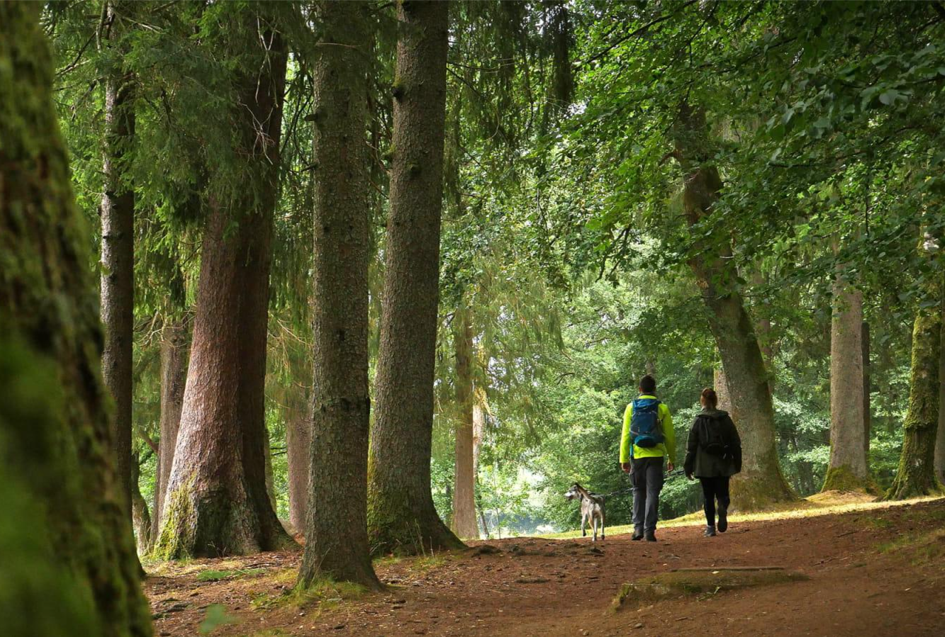
Located in the heart of the Morvan forest, the village of Saint-Léger-Vauban is home to some interesting sights such as its 14th century church, its museum retracing the history of Vauban, and the artisanal jam factory "La Trinquelinette".
0
0

A milestone not to be missed
0
0

The second part of the village's name comes from the large number of empty stone tombs placed in the cemetery surrounding the church. The church is the central location of the village, next to the mayor and not far from a mini-market and a few shops.
0
0

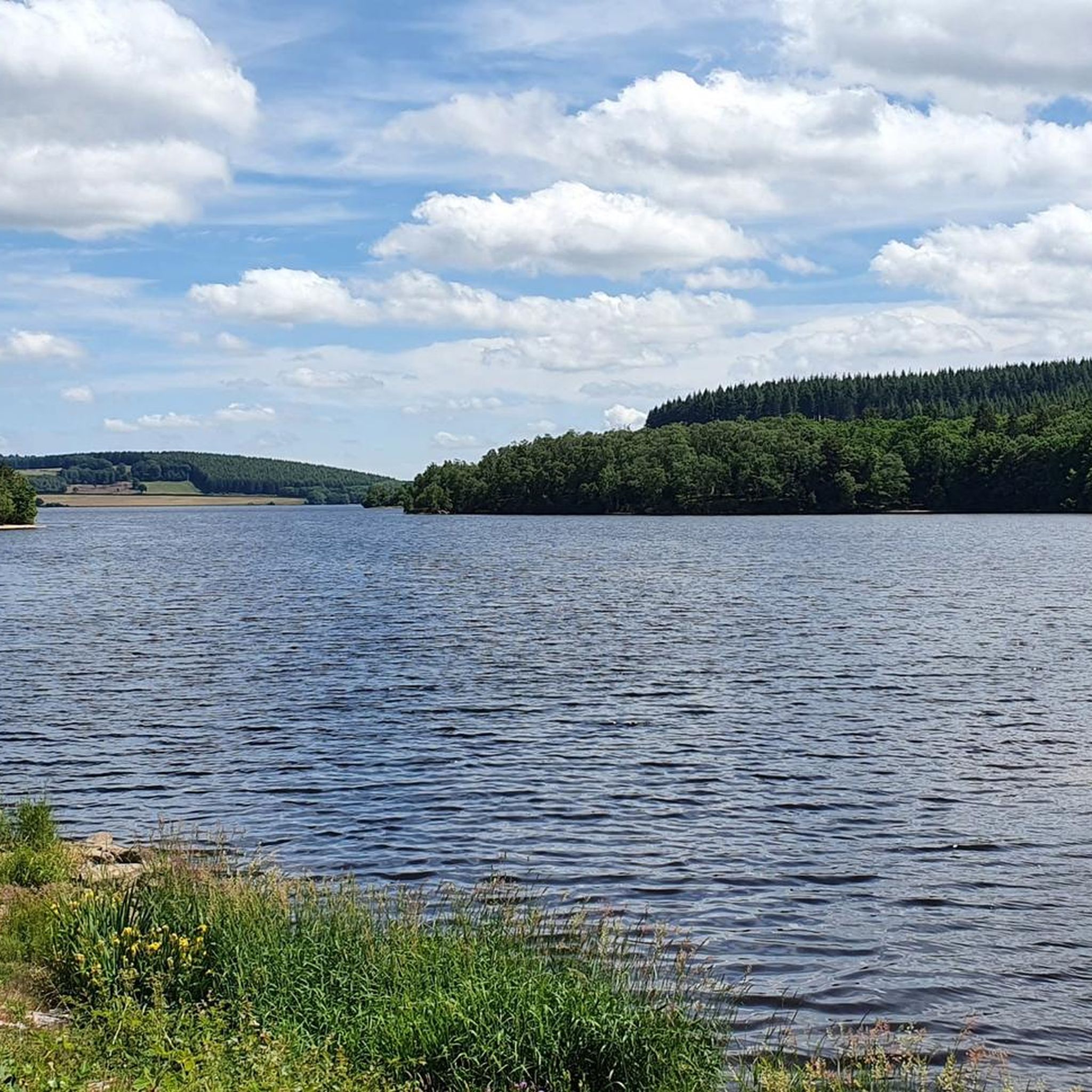
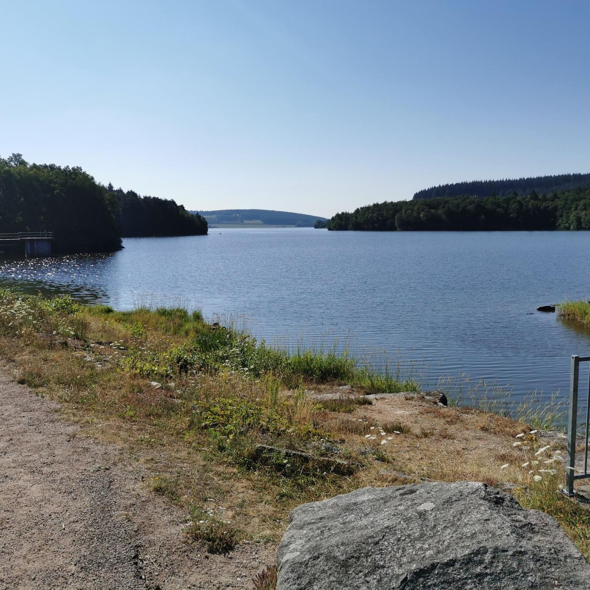
Straddling the departments of Nièvre and Yonne, with an area of 138 ha, Lac du Crescent owes its name to its "crescent" shape. This lake is formed by a hydroelectric dam built in 1930 and financed as German war damage linked to the 1st World War. The dam is 330 m long, 37 m high and the capacity of the lake is 14 million m3. The Crescent reservoir is fed by the most famous trout rivers in the Morvan: the Cure and the Chalaux. It is therefore a good fishing spot, like all the neighboring lakes of the Morvan, but a swimming area has also been set up on the side of the Yonne in the town of Chastellux sur Cure.
0
0
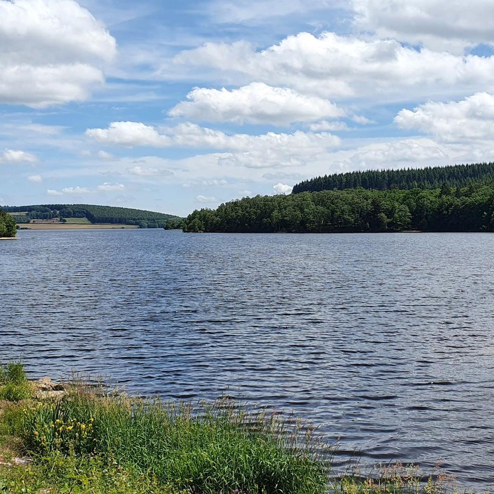
Located on the border between Yonne, Côte d'Or and Nièvre, the Lac de Saint-Agnan is an artificial lake created in the 1980s. With its air of small Canada, it symbolizes the Morvan Regional Natural Park . It is a very popular site for fishermen, but you can also swim and practice water sports. Note the presence of an inn that can allow you to get water (as was the case for me) and to eat, the opportunities to do so are not legion in the region.
0
1
I took the photo in good weather and I added it! 😁
0
0

A mountain pass has the distinction of being located in the commune of Marigny-l'église. It offers beautiful panoramic views of the verdant Morvan countryside.
0
0
Quarré-les-Tombes is located in the regional natural park of Morvan. It takes its name from the 7th and 10th century sarcophagi found on the north-west facade of the village church.
0
0
Frequently Asked Questions
How many road cycling routes are available around Saint-Léger-Vauban?
There are over 120 road cycling routes available around Saint-Léger-Vauban, offering a wide variety of options for different skill levels and preferences within the Morvan Regional Natural Park.
What kind of terrain can I expect on road cycling routes in Saint-Léger-Vauban?
The terrain around Saint-Léger-Vauban is diverse, featuring a picturesque mix of forests, meadows, and ponds. You can expect varied elevation changes, with routes ranging from 325 to 566 meters in altitude, including significant positive altitude differences up to 1199 meters. This means you'll encounter both challenging climbs and exhilarating descents on steep, narrow roads.
Are there challenging road cycling routes in the Saint-Léger-Vauban area?
Yes, the region offers numerous challenging routes. For example, the Lake Saint-Agnan – Quarré-les-Tombes loop from Saint-Agnan-en-Morvan is a difficult 61.7 km trail with over 975 meters of elevation gain. Overall, 42 of the routes in the area are classified as difficult, providing ample challenge for experienced cyclists.
Are there easier road cycling routes suitable for beginners around Saint-Léger-Vauban?
While many routes offer significant elevation, there are easier options available. The region features 3 routes classified as easy and 84 as moderate, allowing beginners or those seeking a more relaxed ride to find suitable paths. These routes often explore the characteristic forests and meadows of the Morvan with less demanding climbs.
What natural features can I see along the road cycling routes?
Road cycling routes in Saint-Léger-Vauban are rich in natural beauty. You'll encounter extensive forests, tranquil lakes like Lake Saint-Agnan, and rivers such as the Trinquelin. Some routes also pass by the scenic Crescent Dam or offer views of the Morvan Regional Natural Park's diverse landscapes.
Are there any historical landmarks or cultural sites to visit on a road cycling tour?
Absolutely. You can incorporate cultural stops into your rides. The La Pierre-qui-Vire Abbey is situated in a wild, wooded site and can be passed during cycling routes. The village of Saint-Léger-Vauban itself is the birthplace of Sébastien Le Prestre de Vauban, and nearby historical châteaux like Château de Chastellux and Château de Bazoches also add cultural interest.
Are there circular road cycling routes around Saint-Léger-Vauban?
Yes, many road cycling routes in the area are designed as loops. For instance, the Lac des Settons North – Settons Lake (south) loop from Saint-Agnan-en-Morvan is a moderate 63.7 km path, and the Quarré-les-Tombes – Lake Crescent loop from Quarré-les-Tombes is a 30.6 km trail. The Morvan region also offers signposted loops ranging from 15.5 km to 58 km.
Is there parking available for cyclists in Saint-Léger-Vauban?
While specific parking areas for cyclists are not explicitly detailed, Saint-Léger-Vauban and surrounding villages within the Morvan Regional Natural Park typically offer public parking options suitable for accessing the routes. It's advisable to check local signage upon arrival.
Can I reach Saint-Léger-Vauban by public transport with my bike?
Public transport options to Saint-Léger-Vauban are limited, as it is a rural area within a natural park. While some regional buses might serve the area, carrying bikes on public transport can be challenging. It's recommended to check with specific transport providers in the Burgundy-Franche-Comté region for their bike carriage policies and schedules.
What is the best season for road cycling in Saint-Léger-Vauban?
The best season for road cycling in Saint-Léger-Vauban is generally from spring to autumn. During these months, the weather is more favorable, and the natural landscapes are at their most vibrant. Summer offers warm temperatures, while spring and autumn provide cooler rides and beautiful foliage.
Are the road cycling routes in Saint-Léger-Vauban family-friendly?
While the region offers varied terrain, including challenging climbs, there are moderate and easy routes that can be suitable for families, especially those with some cycling experience. Look for shorter, less elevated loops, particularly around the lakes, which tend to have more gentle gradients. Always check the route difficulty and elevation profile before setting out with family.
What do other road cyclists enjoy the most about road cycling in Saint-Léger-Vauban?
The area is highly rated by the komoot community, with an average score of 4.5 stars from over 40 reviews. Reviewers often praise the diverse Morvan landscapes, the extensive forests providing shaded routes, and the tranquil lakes. The variety of routes, from moderate loops to challenging climbs, is also frequently highlighted.
Most popular routes around Saint-Léger-Vauban
Most popular attractions around Saint-Léger-Vauban

Get inspired with the komoot mobile app


Explore more
Browse the best Road cycling routes in other regions.
