The best walks and hikes around Lohitzun-Oyhercq
4.5
(155)
859
hikers
73
hikes
Hiking around Lohitzun-Oyhercq offers access to the diverse landscapes of the Pyrénées-Atlantiques department in the Basque Country. The commune itself features rolling hills and lower mountain areas, with altitudes ranging from approximately 107 meters to 350 meters. The region is characterized by a mix of maritime and mountainous influences, including forested areas and deep valleys. This geographical position provides varied terrain for hikers, from gentle paths to more challenging routes in the Pyrenean foothills.
Best hiking trails around Lohitzun-Oyhercq
- The…
Last updated: May 22, 2026
4.3
(7)
33
hikers
9.94km
02:56
290m
290m
Moderate hike. Good fitness required. Easily-accessible paths. Suitable for all skill levels.
4.0
(1)
16
hikers
7.89km
02:25
280m
280m
Moderate hike. Good fitness required. Easily-accessible paths. Suitable for all skill levels.

Sign up for free
4.0
(1)
11
hikers
Hard hike. Very good fitness required. Easily-accessible paths. Suitable for all skill levels.
4.8
(8)
26
hikers
10.2km
03:02
300m
310m
Moderate hike. Good fitness required. Easily-accessible paths. Suitable for all skill levels.
5.0
(1)
16
hikers
4.27km
01:18
150m
150m
Easy hike. Great for any fitness level. Easily-accessible paths. Suitable for all skill levels.
Get access to more routes and recommendations from other explorers.
Sign up for free
Already have an account?
Our route recommendations are based on thousands of hikes, rides, and runs completed by other people on komoot.
Start today with a free account
Your next adventure awaits.
Login or Signup

Tips from the Community

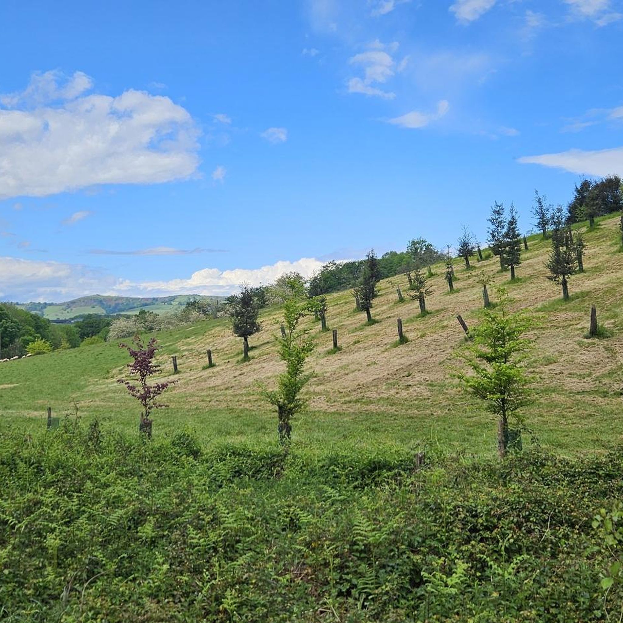
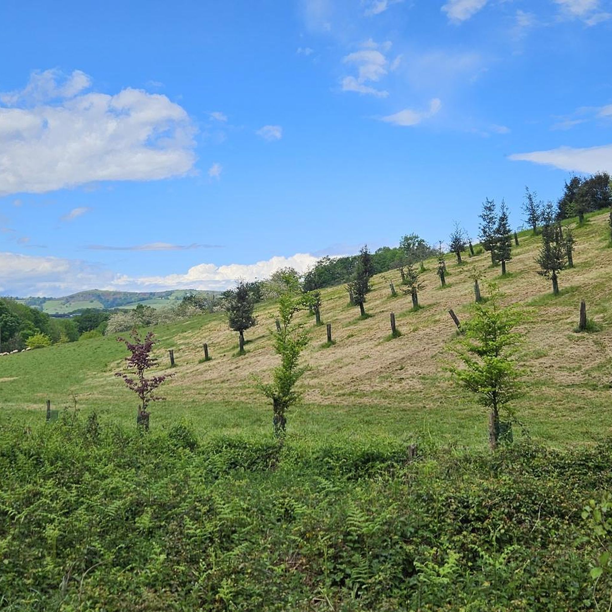
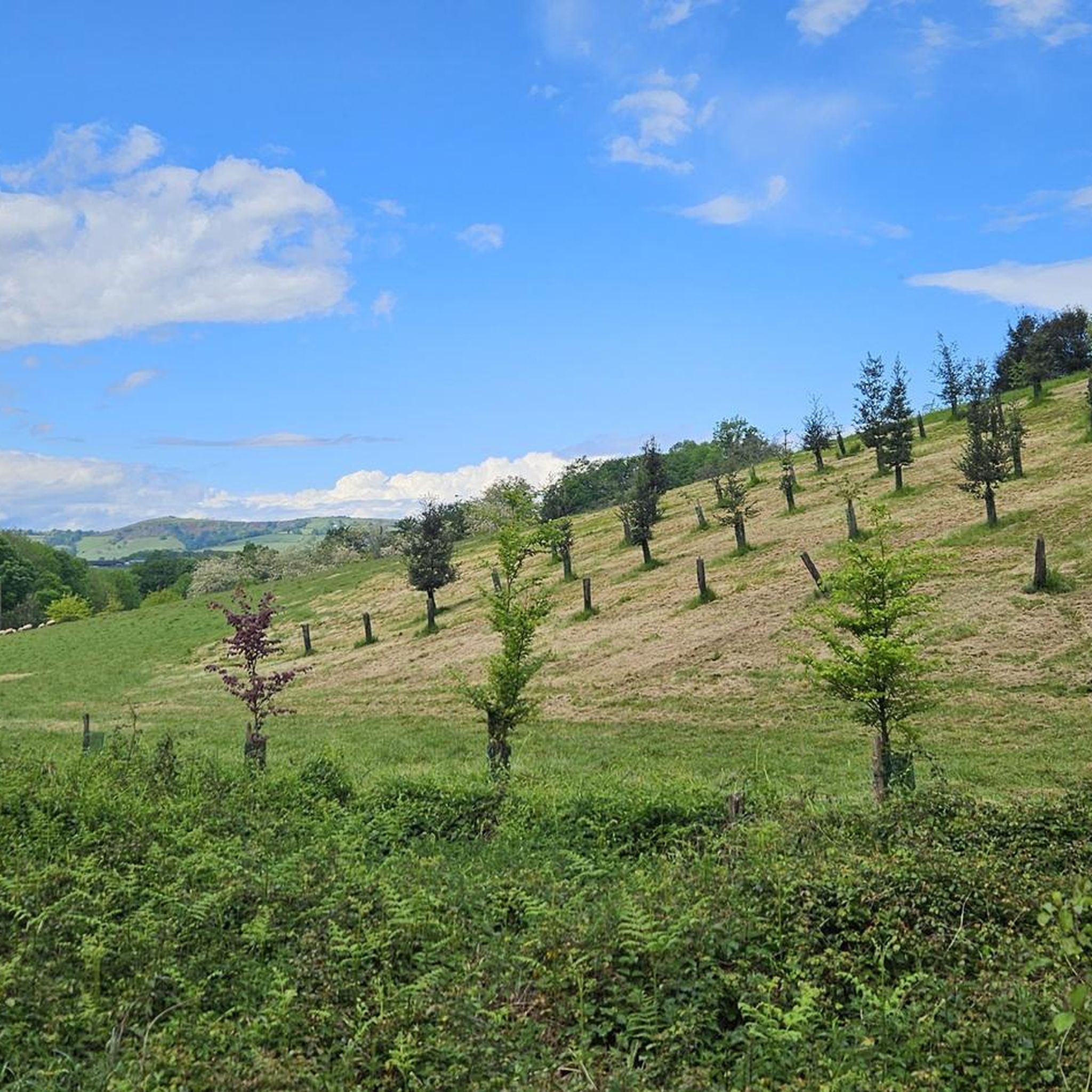
beautiful view, there is water and, if necessary, a rainproof place (for a maximum of 2 people), it is on the Way of St. James and you often meet other hikers or cyclists
0
0


A very pretty little church in a beautiful location. Unfortunately, it was closed. Drinking water💦 at the cemetery.
2
0
Beautiful little church in Lichos. Drinking water💦next to the church.
2
0


Between Saint-Palais and Ostabat, three French Ways of St. James meet at a particularly beautiful stele, which lead together to Saint-Jean-Pied-de-Port. Via Podiensis / Voie du Puy-en-Velay Via Lemovicensis / Voie de Vezelay Via Touronensis / Voie de Tours
1
0

Near Ostabat, the Gibraltar Stele marks the spot where the three great routes to Santiago meet.
3
0
In the small hamlet of Gibraltar, a special cross stone marks the point where the Camino from Tours, Vezelay and Le Puy meet. From here they continue together.
0
0
Frequently Asked Questions
How many hiking trails are available around Lohitzun-Oyhercq?
There are over 75 hiking routes available around Lohitzun-Oyhercq, catering to various skill levels. This includes 24 easy routes, 41 moderate routes, and 11 difficult routes, ensuring options for everyone from casual walkers to experienced hikers.
What kind of terrain can I expect on hikes near Lohitzun-Oyhercq?
The terrain around Lohitzun-Oyhercq is characterized by rolling green hills, forested areas, and deep valleys, typical of the Basque countryside. As it's situated in the Pyrenean foothills, you'll find a mix of gentle paths and more challenging ascents, with altitudes ranging from approximately 107 meters to 350 meters within the commune itself.
Are there any family-friendly hiking options in Lohitzun-Oyhercq?
Yes, Lohitzun-Oyhercq offers several easy routes suitable for families. For example, the Gibraltar Stele – Chapelle de Soyarza loop from Tambourindéguia is an easy 4.3 km path with minimal elevation gain, perfect for a leisurely family outing.
Can I bring my dog on the hiking trails around Lohitzun-Oyhercq?
Many trails in the region are dog-friendly, but it's always recommended to keep your dog on a leash, especially when passing through pastoral landscapes where you might encounter local wildlife like 'pottoks' (semi-wild horses) or sheep. Always check local signage for specific restrictions.
What are some notable landmarks or points of interest I can see while hiking?
While hiking, you can explore several interesting points. The Gibraltar Stele and Chapelle de Soyarza are often part of popular routes, offering historical and cultural insights. The area also features charming settlements like Ostabat.
Are there any circular hiking routes in the area?
Yes, many routes around Lohitzun-Oyhercq are circular, allowing you to start and end at the same point. A popular moderate option is the Gibraltar Stele – Chapelle de Soyarza loop from Uhart-Mixe, which covers 10 km and offers scenic views of the Basque countryside.
What is the best time of year to go hiking in Lohitzun-Oyhercq?
The region benefits from both maritime and mountainous influences, making spring and autumn ideal for hiking with pleasant temperatures and vibrant landscapes. Summer can also be enjoyable, especially in forested areas, but be prepared for warmer weather. Winter offers a different charm, though some higher routes might be less accessible.
Are there any challenging or difficult hikes for experienced trekkers?
Yes, for experienced trekkers, there are 11 difficult routes. One notable challenging option is the Église Saint-Just d'Olhaïby – Rastplatz für Pilger loop from Lohitzun-Oyhercq, an 29.2 km trail that takes about 8 hours to complete and features significant elevation changes.
What do other hikers enjoy most about hiking in Lohitzun-Oyhercq?
The area is highly rated by the komoot community, with an average score of 4.4 stars from over 140 reviews. Hikers often praise the diverse landscapes, from rolling hills to forested paths, and the opportunity to experience the authentic Basque countryside.
Is public transport available to access hiking trails?
While Lohitzun-Oyhercq is a rural commune, public transport options in the wider Pyrénées-Atlantiques department can connect you to various starting points. However, for direct access to many trailheads within and immediately around Lohitzun-Oyhercq, a car is often the most convenient option. Always check local bus schedules for specific routes.
Are there any routes with great views of the Pyrenees?
Absolutely. The region's proximity to the Pyrenean foothills means many trails offer stunning vistas. Consider the Great View of the Pyrenees loop from Chapelle Saint-Grégoire, a moderate 10.2 km route specifically known for its panoramic mountain views.
Where can I find amenities like cafes or pubs near the trails?
Lohitzun-Oyhercq is a small, rural commune, so amenities like cafes and pubs might be limited directly at trailheads. However, you'll find options in nearby villages and towns within the broader Basque Country. It's advisable to carry sufficient water and snacks, especially on longer hikes, and plan your stops in advance.
Most popular routes around Lohitzun-Oyhercq
Most popular attractions around Lohitzun-Oyhercq

Get inspired with the komoot mobile app


Explore more
Browse the best Hikes in other regions.
