The best walks and hikes around San-Lorenzo
4.3
(421)
1,819
hikers
45
hikes
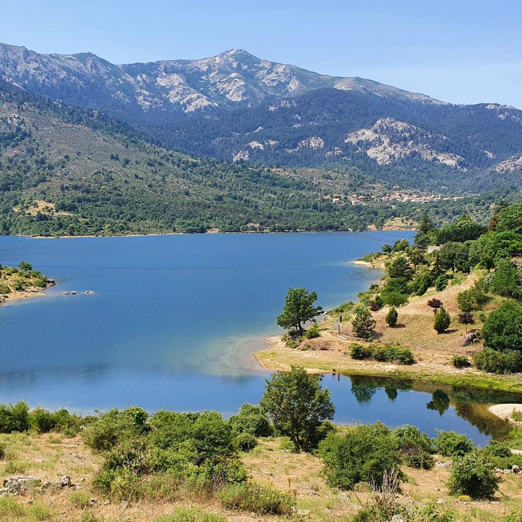
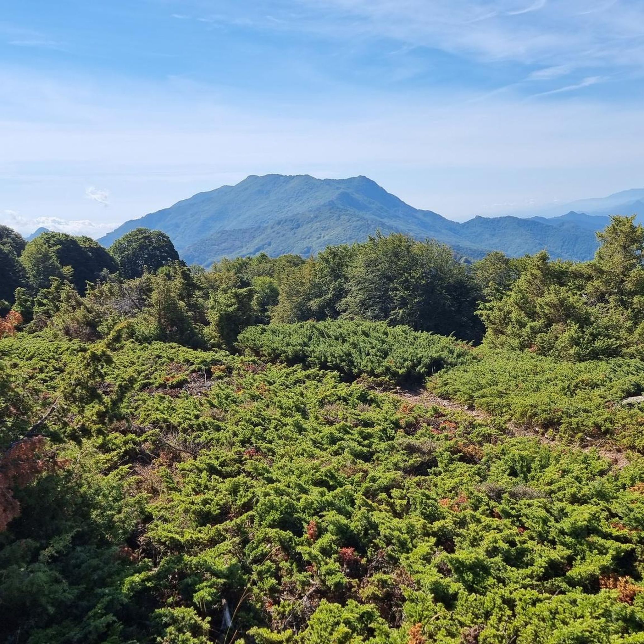
Hiking around San-Lorenzo offers diverse trails through alpine landscapes within the Brenta Group mountains. The region is characterized by mountainous terrain, including peaks and valleys where water and stone intertwine. Hikers can explore historical routes, ancient villages, and dense woods, providing varied experiences. This area provides a blend of natural beauty and cultural heritage, making it suitable for different hiking preferences.
Best hiking trails around San-Lorenzo
- The most popular hiking route is Church – Struccia Waterfall loop from Piedicroce,…
Last updated: July 2, 2026
4.7
(25)
113
hikers
7.43km
02:13
230m
230m
Moderate hike. Good fitness required. Easily-accessible paths. Suitable for all skill levels.
4.5
(43)
150
hikers
5.94km
01:47
190m
190m
Easy hike. Great for any fitness level. Easily-accessible paths. Suitable for all skill levels.

Sign up for free
4.7
(133)
660
hikers
10.8km
03:38
510m
510m
Moderate hike. Good fitness required. Mostly accessible paths. Sure-footedness required.
4.2
(18)
69
hikers
4.39km
01:19
150m
150m
Easy hike. Great for any fitness level. Easily-accessible paths. Suitable for all skill levels.
4.9
(41)
146
hikers
15.2km
05:59
1,030m
1,030m
Hard hike. Very good fitness required. Mostly accessible paths. Sure-footedness required.
Get access to more routes and recommendations from other explorers.
Sign up for free
Already have an account?
Our route recommendations are based on thousands of hikes, rides, and runs completed by other people on komoot.
Start today with a free account
Your next adventure awaits.
Login or Signup


Tips from the Community

superb walk
0
0


The ruins can only be viewed from the outside; everything is fenced off and entry is prohibited.
0
0

Here you can cool off and grill if you want. A nice break place.
0
0
It's definitely worth a detour, it's almost an LP. And if you are careful you can explore one or the other room, which of course should be well thought out because of the risk of collapse.
1
0
Nice place to take a break right on the "tourist highway" on the way to the waterfall with a fantastic view of it.
0
0
A small fountain to cool off before or after the waterfall, depending on where you are coming from.
0
0
Beautiful waterfall, as the main attraction with many tourists, but still worth a visit.
0
0
Frequently Asked Questions
How many hiking trails are available around San-Lorenzo?
There are over 40 hiking routes around San-Lorenzo, offering a variety of experiences from easy strolls to more challenging mountain ascents. You'll find 11 easy, 24 moderate, and 9 difficult trails to explore.
Are there any easy circular walks in San-Lorenzo?
Yes, San-Lorenzo offers several easy circular hikes that wind through villages and woods, suitable even on warmer days. An example is the Struccia Waterfall – Piedicroce loop from Piedicroce, which is an easy 3.7-mile (5.9 km) trail.
What kind of natural features can I expect to see on hikes in San-Lorenzo?
Hikes in San-Lorenzo, located within the Brenta Group mountains, feature beautiful alpine landscapes where water and stone intertwine. You can expect to see peaks like Mount San Petrone, dense woodlands, and impressive waterfalls such as Struccia Waterfall.
Are there any historical sites or landmarks to explore while hiking?
Absolutely. San-Lorenzo is rich in cultural heritage. You can explore historical routes like the Cammino di San Vili, which passes through fascinating villages. There's also the Archaeological Panoramic Trail of San Lorenzo, which delves into Roman times with archaeological sites and fortresses. Additionally, you might encounter landmarks like the Orezza Monastery Ruins or the Ferriera Bridge.
Which trails offer the best views in San-Lorenzo?
For panoramic views, consider the View of San Petrone loop from Lutina, which offers spectacular vistas of Mount San Petrone and the surrounding alpine scenery. Other viewpoints like Above Corte and View of the Valley from Zucca Rello also provide stunning perspectives.
Are there any hikes that feature waterfalls?
Yes, several routes incorporate the beautiful Struccia Waterfall. For example, the Church – Struccia Waterfall loop from Piedicroce is a moderate trail that features this scenic waterfall.
What do other hikers say about the trails in San-Lorenzo?
The trails in San-Lorenzo are highly regarded by the komoot community, with an average rating of 4.6 stars from over 390 reviews. Hikers often praise the diverse alpine landscapes, the blend of natural beauty with cultural heritage, and the well-maintained paths through dense woodlands and charming villages.
What is the difficulty level of hikes in San-Lorenzo?
San-Lorenzo offers a range of difficulty levels to suit various hikers. You'll find easy circular walks through villages and woods, moderate trails that might include some elevation gain, and more challenging mountain ascents for experienced hikers. There are 11 easy, 24 moderate, and 9 difficult routes available.
Can I find trails that go through villages?
Yes, many trails in San-Lorenzo pass through charming villages, allowing you to experience the local culture and architecture. The Cammino di San Vili, for instance, is known for connecting fascinating villages amidst the natural landscapes.
Are there any long-distance hiking options in the area?
The Cammino di San Vili is a notable long-distance route in the region. While generally considered easy, its length allows for an immersive experience through breathtaking mountains and historical villages, showcasing the intertwining of water and stone in the landscape.
What kind of terrain should I expect on the trails?
The terrain around San-Lorenzo is primarily alpine, characterized by mountainous paths, dense woodlands, and areas where water features like streams and waterfalls are common. You can expect a mix of well-trodden paths, forest floors, and potentially rocky sections, especially on more challenging routes.
Most popular attractions around San-Lorenzo

Get inspired with the komoot mobile app


Explore more
Browse the best Hikes in other regions.
