The best walks and hikes around Saint-Bonnet-Briance
4.6
(99)
521
hikers
40
hikes
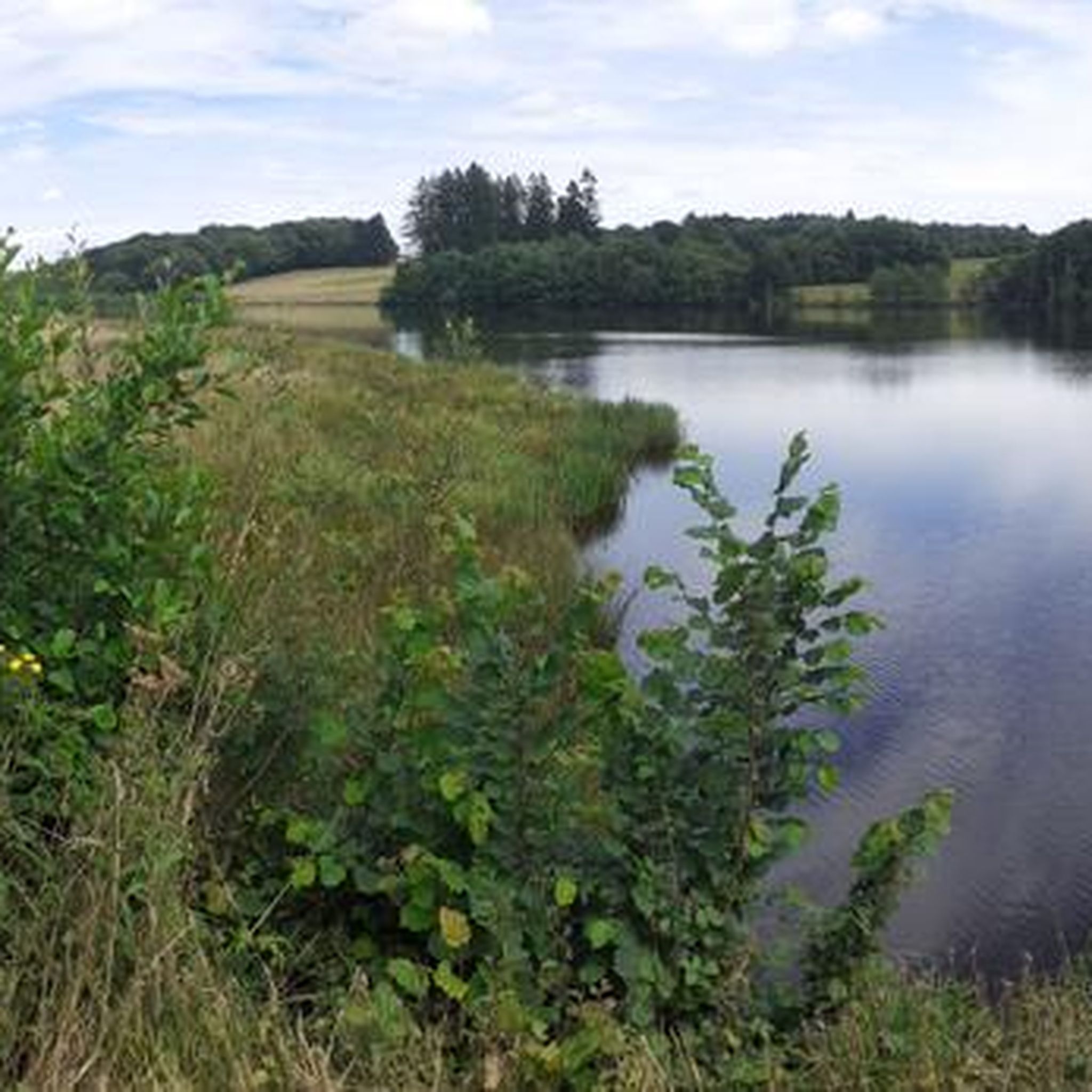
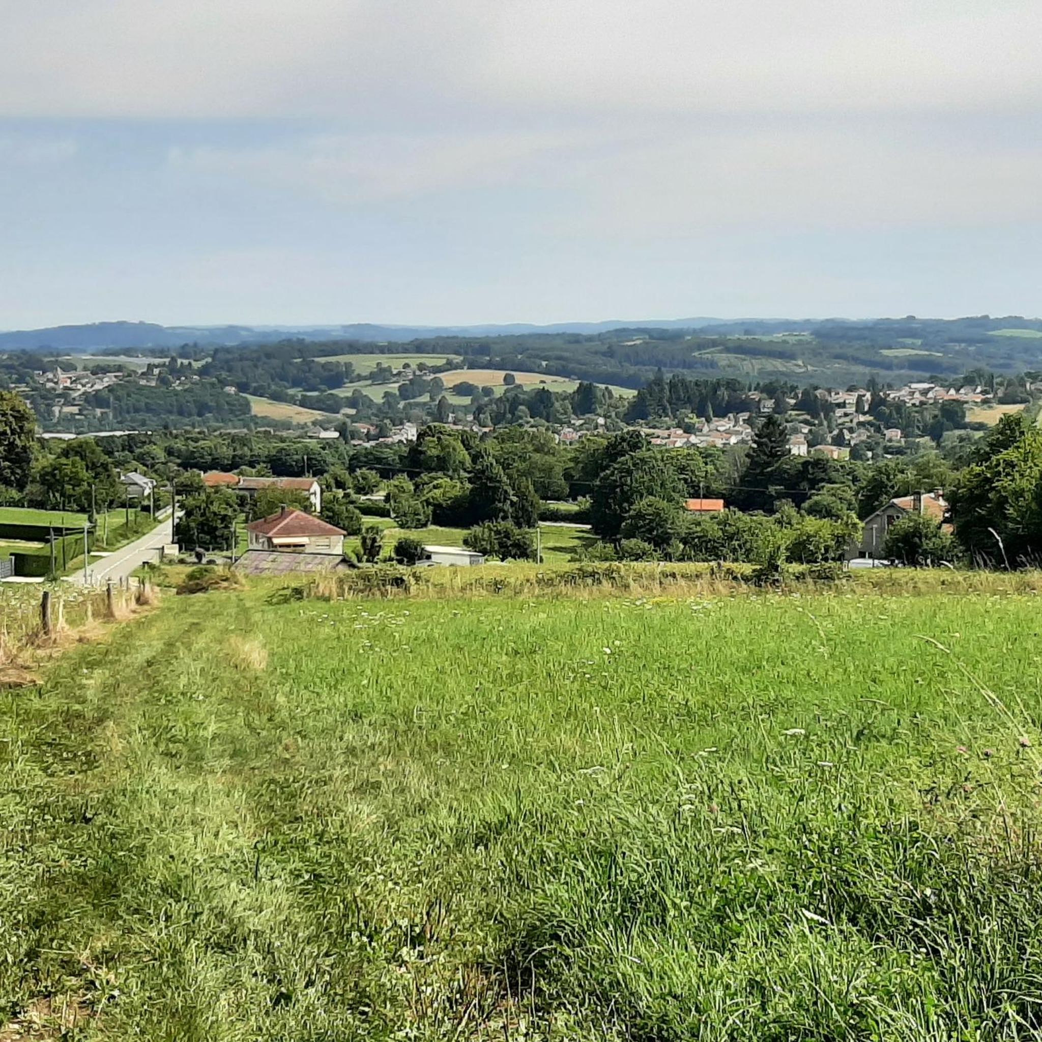
Hiking around Saint-Bonnet-Briance offers diverse landscapes within France's Haute-Vienne department, characterized by its rural charm. The region features the Briance river valley, extensive forests like Bois de Morinet and Forêt de Châteauneuf, and rolling countryside. Elevations range from 310 to 459 meters, providing varied topography suitable for different fitness levels.
Best hiking trails around Saint-Bonnet-Briance
- The most popular hiking route is The three Viaducs of Pierre-Buffière – loop, a 4.0 miles (6.4 km) trail that takes 1 hour 45…
Last updated: July 1, 2026
4.2
(14)
39
hikers
6.38km
01:46
110m
110m
Moderate hike. Great for any fitness level. Mostly accessible paths. Sure-footedness required.
5.0
(2)
9
hikers
12.7km
03:27
190m
190m
Moderate hike. Good fitness required. Easily-accessible paths. Suitable for all skill levels.

Sign up for free
4.6
(7)
28
hikers
8.50km
02:25
190m
190m
Moderate hike. Good fitness required. Easily-accessible paths. Suitable for all skill levels.
4.6
(5)
22
hikers
12.8km
03:29
180m
180m
Moderate hike. Good fitness required. Easily-accessible paths. Suitable for all skill levels.
4.0
(1)
16
hikers
7.09km
01:57
110m
110m
Easy hike. Great for any fitness level. Easily-accessible paths. Suitable for all skill levels.
Get access to more routes and recommendations from other explorers.
Sign up for free
Already have an account?
Our route recommendations are based on thousands of hikes, rides, and runs completed by other people on komoot.
Start today with a free account
Your next adventure awaits.
Login or Signup


Tips from the Community


It is believed that a church already existed in the town in 942, but the current Romanesque church was built in the 11th century.
2
0

Beautiful ballad that deserves its name. The two highway bridges are impressive from below. A fine feat of modern times. The stone viaduct remains of course the most beautiful. The site allows you to take all three on the same plane with a beautiful panorama. Take the time to go all the way where you have a view of the valley and the highway. Also take the time to go around the Villa d'Antone during excavation work.
2
0
In the foreground the railway viaduct with its arches and the following two on the highway. The first was built from 1888 to 1891 in freestone. The other two from 1976 to 1979. https://www.cirkwi.com/fr/point-interet/1218850-ponts-et-viaducs-a-pierre-buffiere
2
0
Frequently Asked Questions
How many hiking trails are available around Saint-Bonnet-Briance?
Saint-Bonnet-Briance offers a wide variety of hiking opportunities, with over 35 trails available. These routes cater to different abilities, ranging from easy strolls to more challenging excursions through the diverse Limousin countryside.
What is the best time of year to go hiking in Saint-Bonnet-Briance?
The region is beautiful throughout the year, but spring and autumn generally offer the most pleasant hiking conditions with mild temperatures and vibrant natural scenery. Spring brings blooming wildflowers, while autumn showcases rich forest colors. Summer can also be enjoyable, especially in the shaded forest areas like Bois de Morinet or Forêt de Châteauneuf.
Are there easy hiking routes suitable for beginners in Saint-Bonnet-Briance?
Yes, Saint-Bonnet-Briance has several easy hiking routes perfect for beginners or those looking for a relaxed walk. For instance, the Landscape. loop from Châteauneuf-la-Forêt is an easy 7.1 km trail that takes about 1 hour 55 minutes to complete, offering gentle inclines and pleasant views.
Are there challenging hiking trails in Saint-Bonnet-Briance?
While the majority of trails are moderate, there is at least one difficult route available for experienced hikers seeking a greater challenge. The varied topography, with elevations ranging from 310 to 459 meters, ensures some routes include more significant ascents and descents.
Are there loop walks available in Saint-Bonnet-Briance?
Yes, many of the hiking trails in Saint-Bonnet-Briance are designed as loops, allowing you to start and end at the same point. Popular examples include The three Viaducs of Pierre-Buffière – loop and Neuvic-Entier – loop, which are both highly rated by the komoot community.
What natural features can I expect to see while hiking in Saint-Bonnet-Briance?
Hikers can enjoy diverse natural features, including the scenic Briance river valley, extensive forests like Bois de Morinet and Forêt de Châteauneuf, and rolling countryside with panoramic views of the Limousin mountains. The region's rural charm is a constant companion on these trails.
Are there any historical or cultural landmarks to discover on hikes near Saint-Bonnet-Briance?
Yes, the area offers several points of historical and cultural interest. You might encounter sites like The Three Viaducts of Pierre-Buffière, or explore nearby towns such as Saint-Léonard-de-Noblat, known for its medieval bridge and historical significance. Some trails also pass by ancient villages and traditional architecture.
What do other hikers enjoy most about the trails in Saint-Bonnet-Briance?
The trails around Saint-Bonnet-Briance are highly rated by the komoot community, with an average score of 4.6 stars from over 80 reviews. Hikers often praise the serene river valleys, extensive forests, and rolling hills, highlighting the peaceful and varied terrain that makes for an immersive outdoor experience.
Are the hiking trails in Saint-Bonnet-Briance suitable for families with children?
Many trails in Saint-Bonnet-Briance are suitable for families, especially the easier and moderate loop routes. The varied landscapes, including forests and riverbanks, provide engaging environments for children to explore. Always check the specific trail's length and difficulty to ensure it matches your family's capabilities.
Can I bring my dog on the hiking trails in Saint-Bonnet-Briance?
Generally, dogs are welcome on most hiking trails in the Saint-Bonnet-Briance area, provided they are kept under control, especially when passing through agricultural land or near wildlife. It's always advisable to check local signage for any specific restrictions in certain nature reserves or protected areas.
Is parking available at the trailheads in Saint-Bonnet-Briance?
Yes, parking is typically available at or near the starting points of many popular hiking trails and in the villages. For specific routes, it's recommended to check the tour details on komoot for information on designated parking areas.
How long do hikes typically take in Saint-Bonnet-Briance?
Hike durations vary significantly depending on the route's length and your pace. For example, a moderate 6.4 km trail like The three Viaducs of Pierre-Buffière – loop takes about 1 hour 45 minutes, while a longer 12.7 km route such as Neuvic-Entier – loop might take around 3 hours 25 minutes.
Where can I find refreshments or accommodation near the hiking trails?
The villages and towns within and around Saint-Bonnet-Briance, such as Pierre-Buffière or Saint-Léonard-de-Noblat, offer various options for refreshments, including cafes and restaurants, as well as accommodation. It's a good idea to plan your route to pass through or near these settlements if you require a break or an overnight stay.
Most popular routes around Saint-Bonnet-Briance
Most popular attractions around Saint-Bonnet-Briance

Get inspired with the komoot mobile app


Explore more
Browse the best Hikes in other regions.
