The best running trails around Trassanel
4.1
(9)
1,130
runners
109
runs
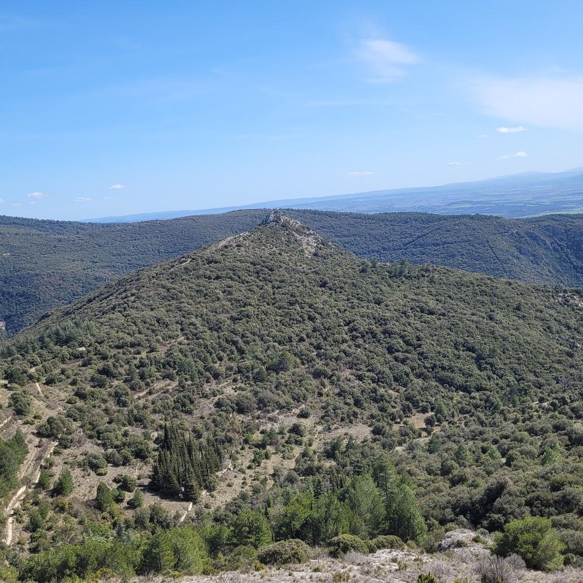
Jogging routes around Trassanel traverse a varied topography within France's Occitanie region, featuring limestone landscapes, gorges, rolling hills, and valleys. The area's diverse terrain provides a range of gradients and surfaces, from easily accessible paths to more physical routes with significant elevation changes. Runners can explore picturesque scenery through vineyards and woods of oak, pine, and chestnut. This natural environment offers both challenging trails and shaded options for different preferences.
Best jogging routes around Trassanel
- The most popular jogging route…
Last updated: July 2, 2026
6
runners
6.37km
00:57
330m
330m
Hard run. Very good fitness required. Mostly accessible paths. Some sure footedness required.
42
runners
22.7km
03:15
1,020m
1,020m
Hard run. Very good fitness required. Mostly paved surfaces. Suitable for all skill levels.

Sign up for free
5.0
(1)
14
runners
10.9km
01:36
560m
560m
Hard run. Very good fitness required. Sure-footedness, sturdy shoes and alpine experience required.
9
runners
15.1km
02:01
540m
540m
Hard run. Very good fitness required. Sure-footedness, sturdy shoes and alpine experience required.
5
runners
7.22km
01:08
400m
400m
Hard run. Very good fitness required. Mostly accessible paths. Some sure footedness required.
Get access to more routes and recommendations from other explorers.
Sign up for free
Already have an account?
Our route recommendations are based on thousands of hikes, rides, and runs completed by other people on komoot.
Start today with a free account
Your next adventure awaits.
Login or Signup

Tips from the Community

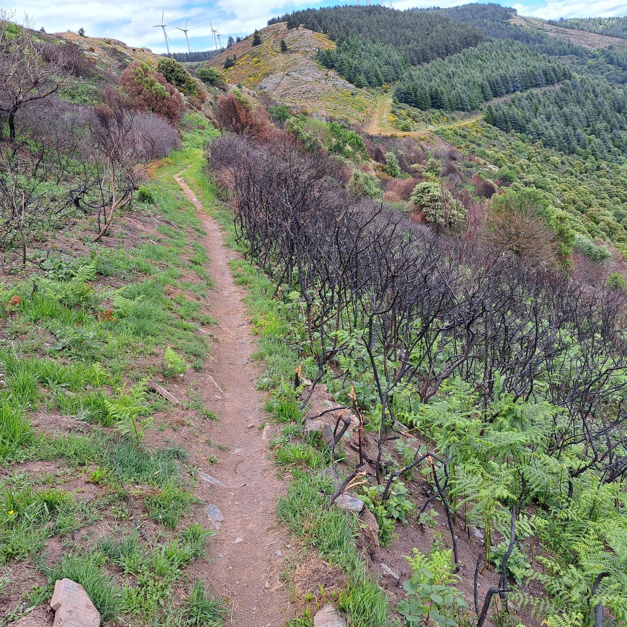
Narrow passage with worn ruts from cart wheels... (Roman?)
0
0

Departure for the Roc de l'Aigle
0
0
Save your energy for the last 5km, be careful when it's windy.
0
0

We like to compare, the Pic de Nore is a small Ventoux, its climbs from Mazamet or Villeneuve-Minervois are not as steep as that of the Ventoux from Bédoin but they still have to be earned. They are 17 and 22 km respectively, have an average gradient of 5.5% and 4.56%, with a maximum gradient of 11.8% and 10%. For my part, I chose to join Pradelles-Cabardès via the forests from Limousis, passing in particular the Soulanes de Nore, I was treated to some good slopes with a double-digit percentage ... Two legends would explain its name: in the first it is the fairy Nore who, annoyed by the damage caused to the crops by the Cers wind, would have planted her pike in the ground there, and as if by magic the rocks would have accumulated around to form the Pique de Nore. In the second, the wind of Cers is still blamed for its damage to human crops, not only there, and it is Nore, Bug and Arach who went to complain to Jupiter. Jupiter does not like to be disturbed, he transformed Nore into a mountain and Bug and Arach into the summit of Bugarach ...
3
0


Very nice walk, varied nature, beautiful view, very pretty heather ☺️ Partially shaded.
1
1

Technical MTB route. Only take the route on the descent!
0
0

Mountain bike loop from Conques/Orbiel to Pas de Montserrat - old Roman road - on the GR 36 Audois and the legendary Déval'Nore.
1
2
Frequently Asked Questions
How many running routes are available around Trassanel?
There are over 100 running routes around Trassanel, offering a wide variety of terrain and difficulty levels. You'll find everything from easily accessible paths to more challenging, physical routes with significant elevation changes.
What kind of terrain can I expect on the jogging trails in Trassanel?
The jogging trails in Trassanel traverse a diverse topography, including limestone landscapes, gorges, rolling hills, and valleys. You'll run through picturesque vineyards and dense woods of oak, pine, and chestnut, providing both scenic beauty and shaded sections, which are particularly welcome during warmer months.
Are there any easy running routes suitable for beginners or a relaxed jog?
While many routes in Trassanel are rated as moderate to difficult due to the varied terrain and elevation, there are a few easier paths available. The region is known for its diverse gradients, so look for routes described as 'easily accessible' if you prefer a less strenuous experience.
What are some notable natural attractions or viewpoints I can see while running in Trassanel?
Trassanel's running routes offer access to several impressive natural features. You might encounter the breathtaking 360-degree panoramic views from Pic de Nore, the highest point of the Montagne Noire. The Cabrespine Giant Chasm – Roc de l'Aigle loop from Cabrespine, for example, passes by the impressive Giant Chasm and the Roc de l'Aigle viewpoint.
Can I find running routes that pass by waterfalls in the Trassanel area?
Yes, the region is home to the impressive Cubserviès Waterfall, which cascades over multiple levels with a significant drop. While not directly on a featured jogging route, a path around the Rieutort stream allows exploration of this natural beauty, and some routes may offer views or access points nearby.
What do other runners say about the trails in Trassanel?
The running routes in Trassanel are highly rated by the komoot community, with an average score of 4.0 stars. Runners often praise the varied terrain, the challenging ascents, and the stunning natural beauty, especially the panoramic views from points like Pic de Nore.
Are there any historical sites or landmarks accessible from the running trails?
Yes, the area has historical significance. The Grotte des Maquisards, a cave that served as a shelter for the French Resistance during World War II, is a notable historical site. Trekking to the cave offers a chance to reflect on this past, with a stele erected nearby in memory of those who died.
Are there any long-distance or challenging running routes for experienced trail runners?
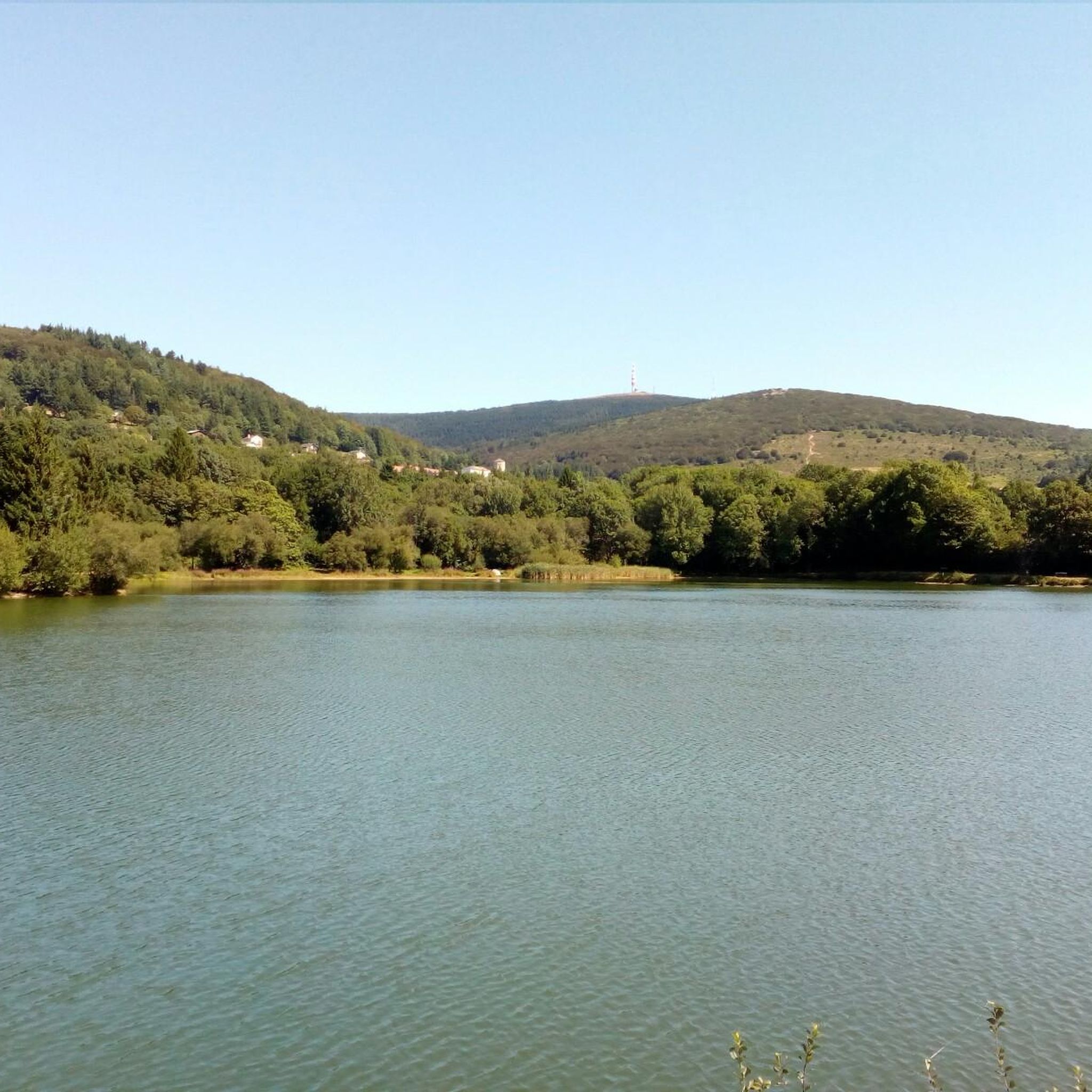
Absolutely. Trassanel offers numerous challenging routes, many rated as difficult. For instance, the Lac de Pradelles-Cabardès – Pic de Nore loop from Cabrespine is a difficult 22.6 km path with over 1000 meters of elevation gain, offering extensive views from Pic de Nore.
What is the best time of year for jogging in Trassanel?
The diverse landscapes of Trassanel, with its shaded woods, make it appealing for jogging across seasons. During warmer months, the forested sections provide cooler routes. The varied topography means you can find suitable conditions, though spring and autumn often offer the most pleasant temperatures for outdoor activities.
Are there any circular running routes around Trassanel?
Yes, many of the running routes in the Trassanel area are circular, allowing you to start and end at the same point. An example is the Gouffre de Cabrespine Loop Trail, which explores the area around the impressive Giant Chasm of Cabrespine.
Are there any running routes that feature a Roman road?
Yes, you can explore historical paths while running. The Superbe panorama – Roman road loop from Cabrespine is a challenging 16.4 km route that incorporates sections of an ancient Roman road, offering both a physical workout and a glimpse into the past.
Most popular attractions around Trassanel

Get inspired with the komoot mobile app


Explore more
Browse the best Running Trails & Routes in other regions.
