The best MTB trails around Großhettingen
4.3
(1286)
5,299
riders
17
rides
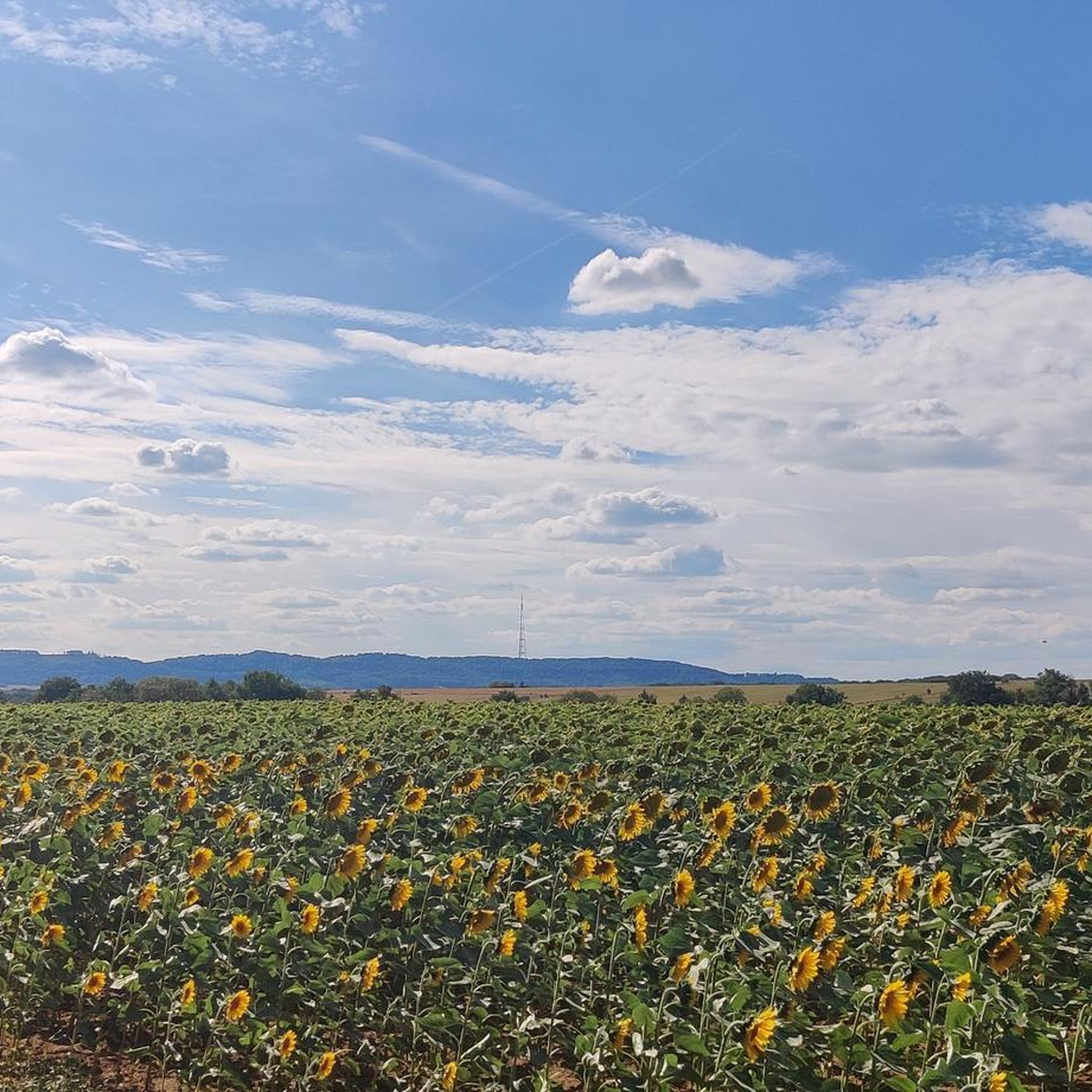
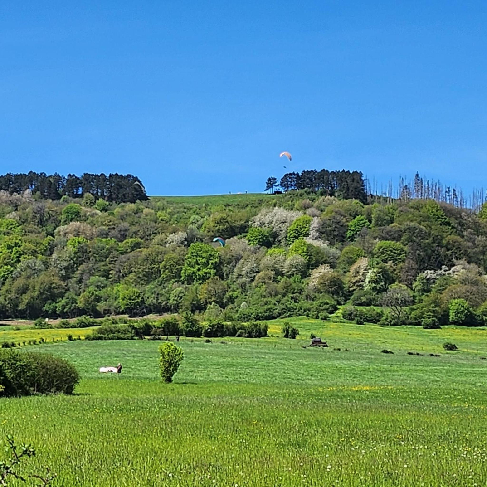
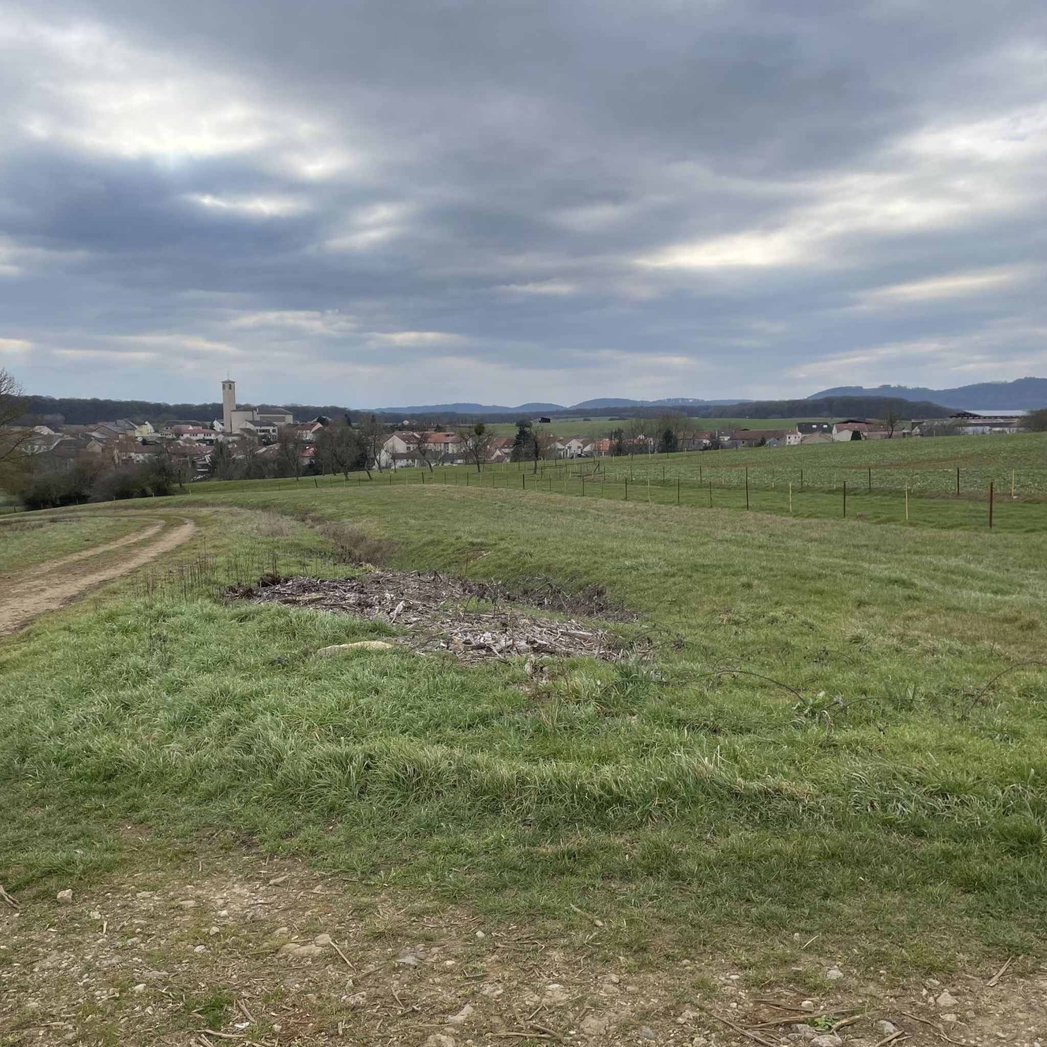
Mountain bike trails around Großhettingen offer diverse terrain, largely influenced by the nearby Haard Nature Reserve. This region features a unique landscape, transformed from former open-pit mining areas, now characterized by rocky sections, steep descents, and natural forests. The varied topography provides a dynamic environment for mountain biking, with trails winding through rewilded nature and offering both challenging and scenic routes.
Best mountain bike trails around Großhettingen
- The most popular mountain bike trail is Red Rocks – Redrock Trail loop…
Last updated: September 30, 2026
4.8
(91)
289
riders
46.9km
03:46
620m
620m
Moderate mountain bike ride. Good fitness required. Suitable for all skill levels.
4.5
(24)
171
riders
51.1km
04:06
750m
750m
Hard mountain bike ride. Good fitness required. Advanced riding skills necessary. Some portions of the route may require you to push your bike.

4.9
(40)
78
riders
Easy mountain bike ride. Great for any fitness level. Suitable for all skill levels.
4.6
(35)
77
riders
35.5km
02:46
340m
340m
Moderate mountain bike ride. Good fitness required. Suitable for all skill levels.
3.5
(4)
22
riders
20.3km
01:28
180m
180m
Easy mountain bike ride. Great for any fitness level. Suitable for all skill levels.
Get access to more routes and recommendations from other explorers.
Already have an account?
Our route recommendations are based on thousands of hikes, rides, and runs completed by other people on komoot.
Start today with a free account
Your next adventure awaits.
Tips from the Community

Interesting MTB trail with challenging ramps
0
0


On both MTB trails "Haard Black" and "Haard Red", you pass this great viewpoint, with a rest stop.
0
0
Very ingenious mountain bike trails!
0
0

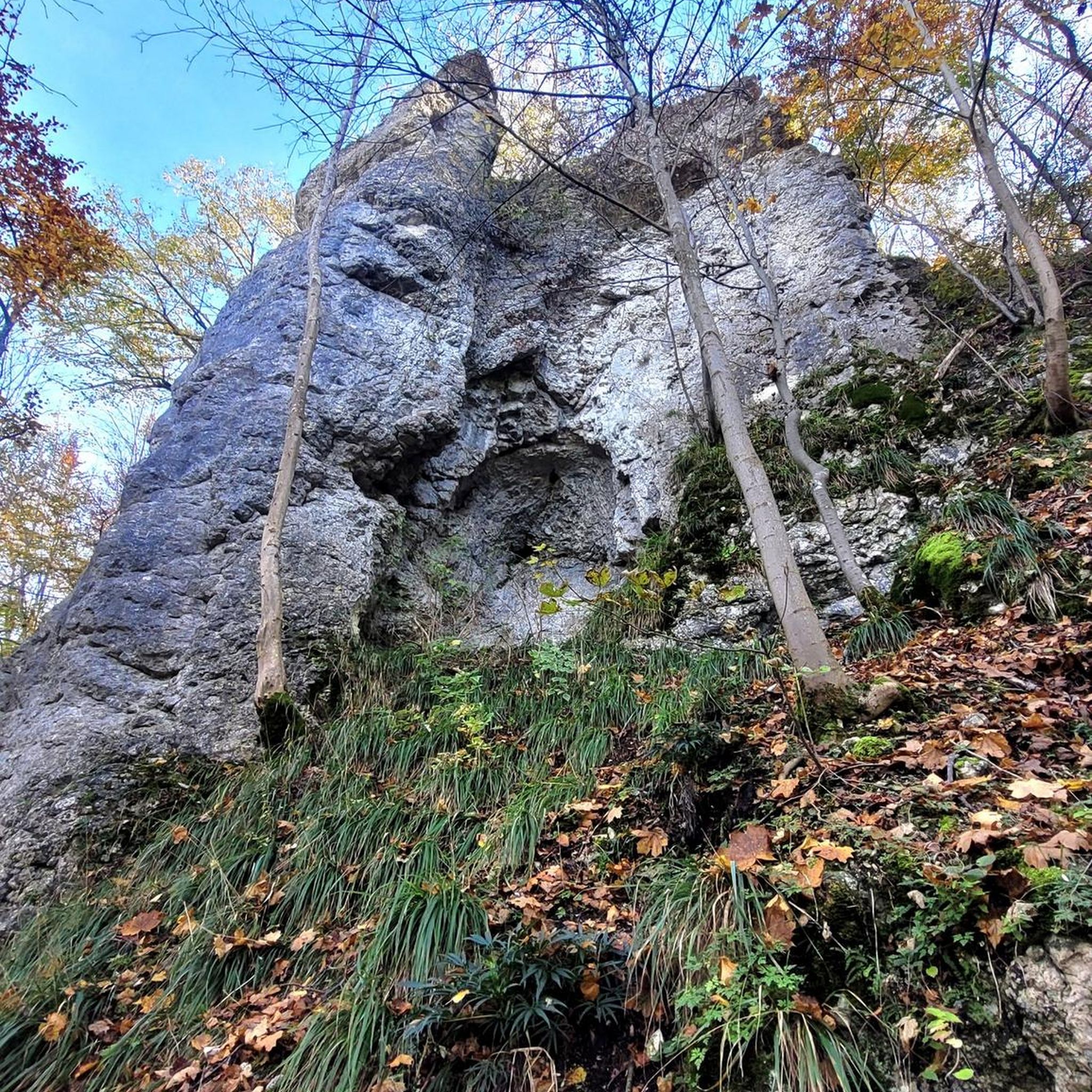
An exciting relic from the days of ore mining. Spectacular with a fantastic view!
1
0

🛡️ **Ouvrage de Kobenbusch – Mighty Fortification of the Maginot Line** The **Ouvrage de Kobenbusch**, located south of Cattenom near the Luxembourg border, is one of the large underground fortifications of the **Maginot Line**. It was built between 1930 and 1935 and consisted of several combat blocks, underground connecting tunnels, a barracks, ammunition depots, and machine rooms – on several levels, anchored deep in the limestone. ⚙️ Particularly noteworthy: The technical systems were designed to be self-sufficient for months – including power generation, ventilation, a kitchen, and a hospital. The fort was occupied without a fight during World War II, continued to be used in part after the war, and is now privately owned. 🚷 It's **not open to the public**, but some ventilation towers and blockhouses are still visible in the forest near the D64 road (between Cattenom and Berg-sur-Moselle). **Tip:** For Maginot fans, a walk through the forest is worthwhile – with a little research, you'll find several bunker remains. Respect barriers, as some entrances are unstable or secured.
1
0
🚧 **Barrage du Lac du Mirgenbach – The Technical Heart of the Lake** At the southern end of **Lac du Mirgenbach** is the **dam (barrage)**, which serves to regulate the water and cool the nearby **Cattenom Nuclear Power Plant**. The facility is not open to the public, but is easily visible from the paths around the lake. 🌊 The dam marks the transition between technology and nature: Here, the water flows in controlled channels, creating an exciting interplay of industrial function and scenic tranquility. **Tip:** Those who walk the circular path around the lake have a good view of the dam from the eastern shore – particularly interesting for technology enthusiasts and landscape photographers.
3
0
Frequently Asked Questions
How many mountain bike trails are there around Großhettingen?
There are 18 mountain bike trails around Großhettingen, offering a diverse range of experiences. These include 6 easy, 8 moderate, and 4 difficult routes, catering to various skill levels.
What kind of terrain can I expect on mountain bike trails near Großhettingen?
The terrain around Großhettingen is highly varied, largely due to its proximity to the Haard Nature Reserve. You can expect rocky sections, steep descents, dry grasslands, and natural forests. The landscape, shaped by former open-pit mining, provides a dynamic environment with both challenging and scenic routes.
Are there any beginner-friendly mountain bike trails in Großhettingen?
Yes, Großhettingen offers 6 easy mountain bike trails suitable for beginners or those looking for a less strenuous ride. The Haard Red Route, mentioned in regional research, is also ideal for gaining singletrack experience without being overly technical.
Are there challenging mountain bike routes for experienced riders?
Absolutely. For experienced riders seeking an adrenaline rush, there are 4 difficult routes available. The Haard Black Route is known for being demanding, featuring frequent obstacles, rocky terrain, and steep descents. You might also consider the Red Rocks – Redrock Trail loop from Hettange-Grande, which offers technical sections through the distinctive 'Red Rocks' landscape.
What do other mountain bikers say about the trails in Großhettingen?
The mountain bike trails around Großhettingen are highly rated by the komoot community, with an average score of 4.3 stars from over 1300 reviews. More than 6500 mountain bikers have used komoot to explore the varied terrain, often praising the unique landscape and diverse challenges.
Are there any circular mountain bike trails around Großhettingen?
Many of the trails around Großhettingen are designed as loops. For example, the Lac du Mirgenbach – Ouvrage du Kobenbusch loop from Hettange-Grande is a moderate 35.5 km circular trail that takes you through forested areas and past Lac du Mirgenbach.
What are some scenic viewpoints or natural features to look out for?
The Haard Nature Reserve itself is a major scenic highlight, with its unique blend of rewilded former industrial sites, dry grasslands, and natural forests. You'll encounter diverse landscapes including quarry faces and slag heaps that have been reclaimed by nature. The View of Audun-le-Tiche – Descent of the 8 Ways loop from Hettange-Grande also offers picturesque vistas.
Are there any bike parks or dedicated mountain biking facilities nearby?
Yes, the region offers dedicated facilities. The Rock Garden Trail at Haard Nature Reserve is a notable mountain biking highlight. Additionally, the Red Rocks – Lallengerbierg Bike Park loop from Hettange-Grande includes sections of the Lallengerbierg Bike Park, known for its varied features and challenging descents.
Can I find any historical landmarks or castles along the trails?
While the mountain bike trails primarily focus on natural landscapes, there are historical sites in the broader region. For example, you can find castles like Rodemack Castle and Bettembourg Castle around Großhettingen, though they may require a slight detour from the main mountain biking routes.
What is the best time of year for mountain biking in Großhettingen?
The diverse terrain of Großhettingen, with its rocky sections and forests, makes it suitable for mountain biking across multiple seasons. While specific weather conditions can vary, spring and autumn generally offer pleasant temperatures and vibrant scenery. It's always advisable to check local weather forecasts before heading out.
Are there any trails that pass by water features like lakes?
Yes, some routes incorporate water features. The Lac du Mirgenbach – Ouvrage du Kobenbusch loop from Hettange-Grande is a popular trail that leads through forested areas and past the scenic Lac du Mirgenbach.
Where can I find more information about the Haard Nature Reserve?
For more detailed information about the Haard Nature Reserve and its trails, including educational paths, you can visit external resources such as visitminett.lu, which provides insights into the area's unique natural and historical significance.
Most popular routes around Großhettingen
Most popular attractions around Großhettingen

Get inspired with the komoot mobile app


Explore more
Browse the best MTB trails in other regions.
